NL
NL  IT
IT  DE
DE  ES
ES  EN
EN 
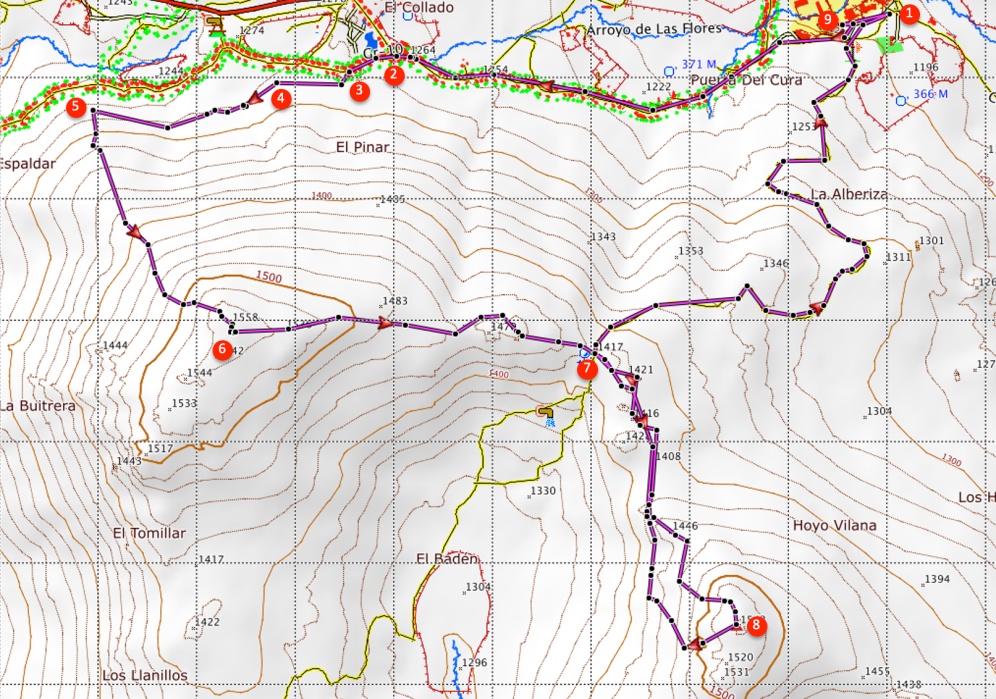
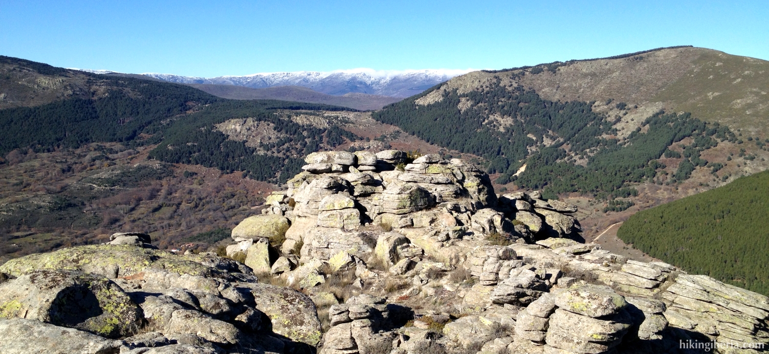
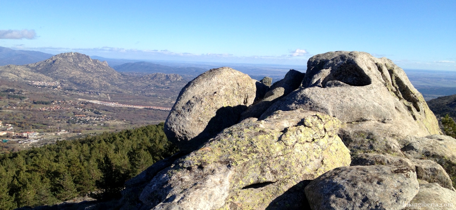
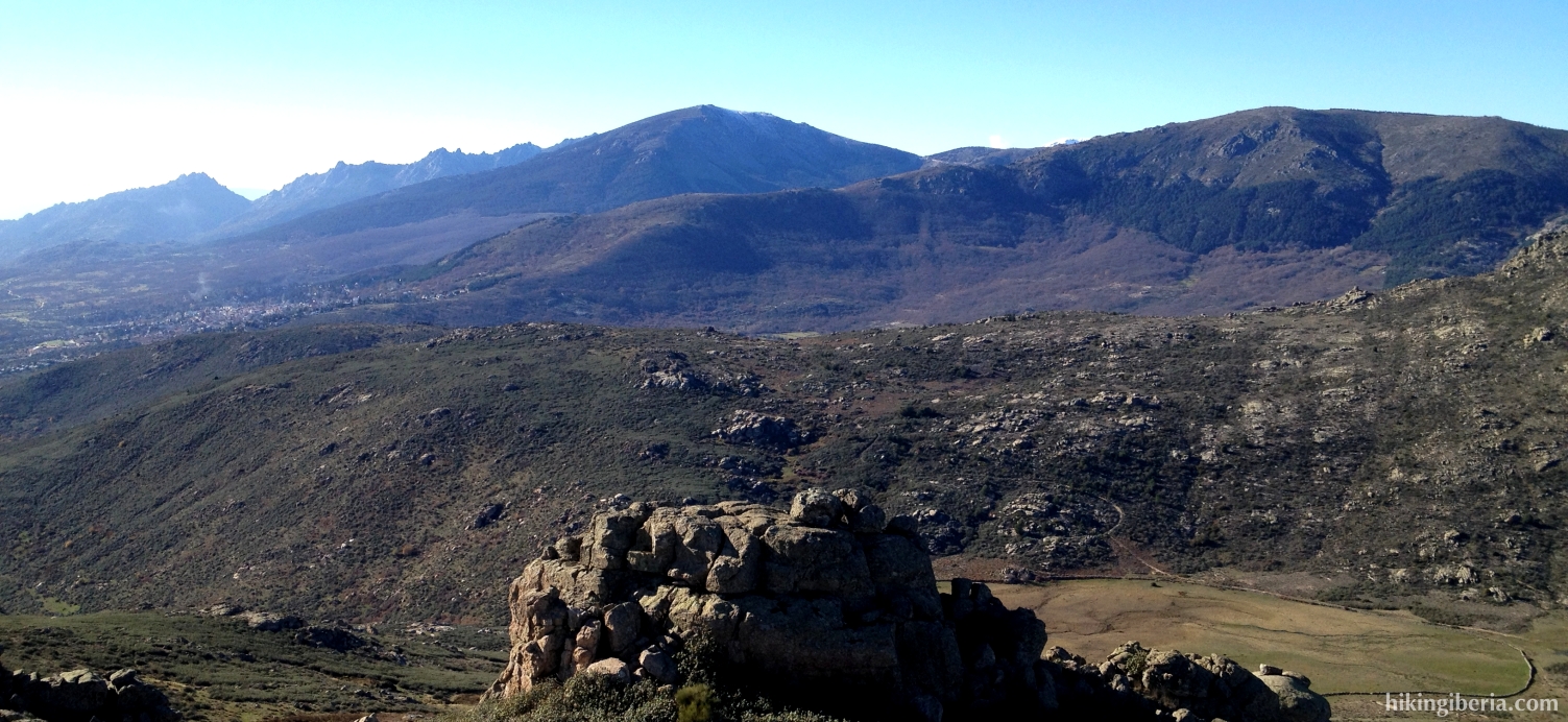
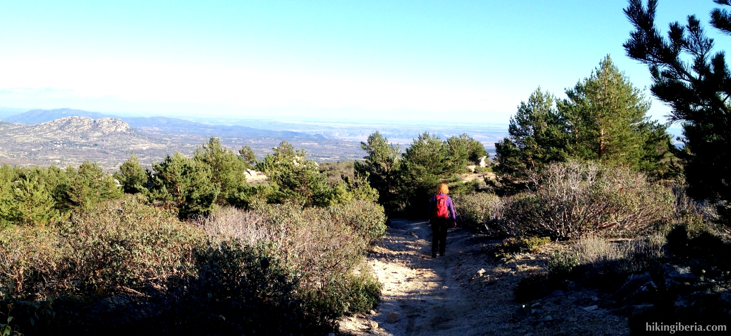
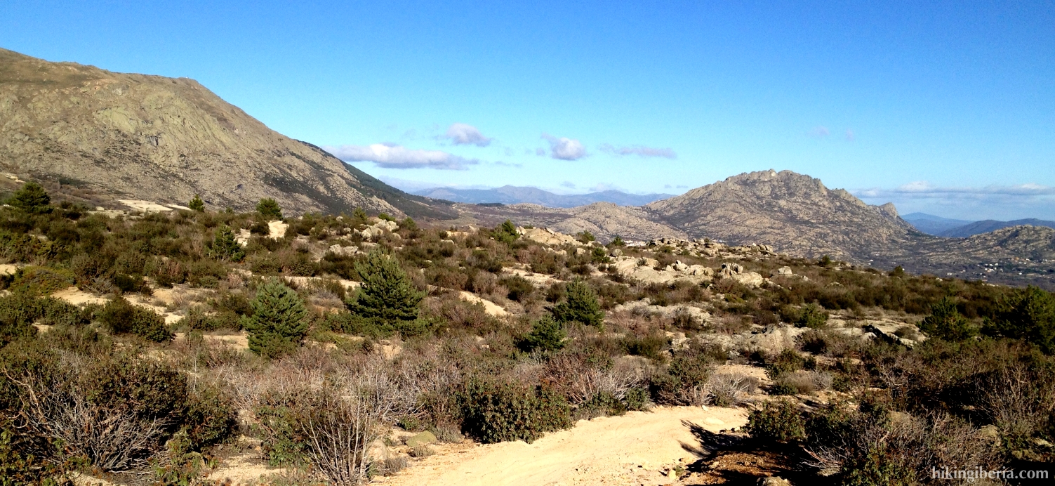
During this hike we visit the two highest peaks of the mountains near the town of Busterviejo in the province of Madrid: The Cabeza Arcón and the Pico Pendón. Although both peaks are not higher than approximately 1,550 meters, we have a wide view on the surroundings from these tops. The landscape, which is characterized by rocks and boulders and reminds us of the landscape of the neighbouring Sierra Guadarrama, is very charming. The hike is relatively hard as at the beginning of the route we have to face a heavy climb trough a firewall and because the ascent to the Pico Pendón is partially without a trail through an overgrown land.
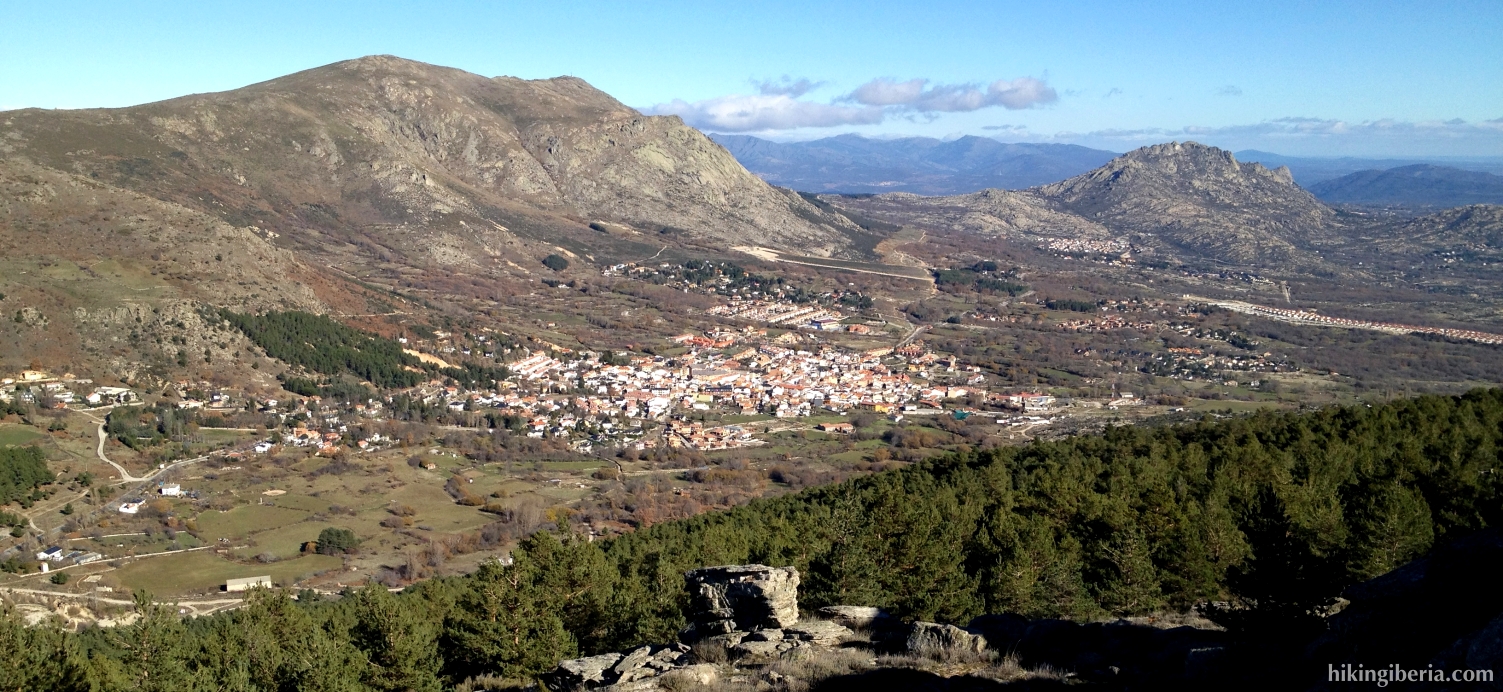

- From where we parked the car (1) we follow the asphalt road further to the west (past some industrial premises). Further on the asphalt road turns into a dirt road. We now have Bustarviejo all the time at our right hand.
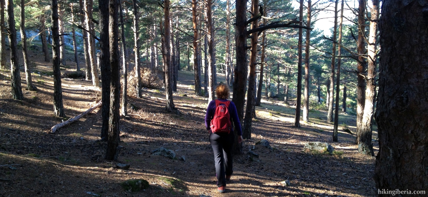
- After having walked quite some time on this road, we notice we are walking towards an asphalt road. Just before a park we turn left though onto a narrow trail that immediately starts to ascend (2). Further on at a fork (3) we keep left towards a narrow trail that runs between the trees. Further on at another fork we keep left again (4).
- This trail eventually ends at a firebreak (5) where we turn left. Through this firebreak we have to face a fierce climb. For a large part there is a trail on the firebreak. The last stretch to the Cabeza Arcón (6) though takes place through the rocks without a trail.
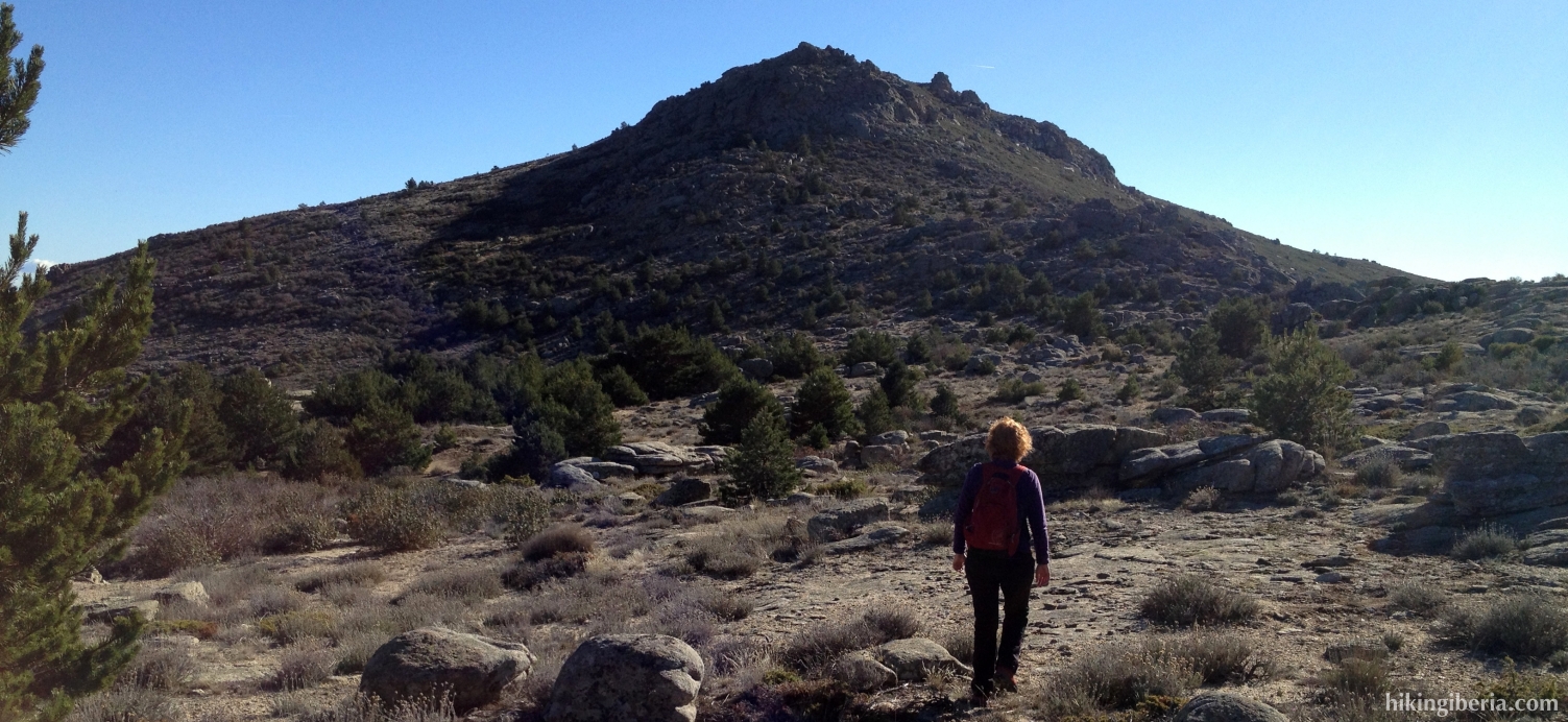
- From this peak we continue straight on towards the east, towards the Pico Pendón, which we can see clearly in front of us. We now descend a while through a trail that is not always clearly visible. As orientation we take the crest, which will lead us to the Pico Pendón.
- Eventually we get at a wide path (7) that returns to Bustarviejo. First we continue straight on here onto the narrow trail, for an excursion to the Pico Pendón.
- To reach this peak various routes are possible, but the trail is not always clearly visible and the terrain is sometimes rather overgrown. As orientation we take the peak of course to find our way. From the Pico Pendón (8) we return to the wide path (7), where we turn right.
- We follow this path until at its end we get again at the asphalt road (9) of the beginning of the hike. We turn right and walk the last stretch back to the car.