NL
NL  IT
IT  DE
DE  ES
ES  EN
EN 
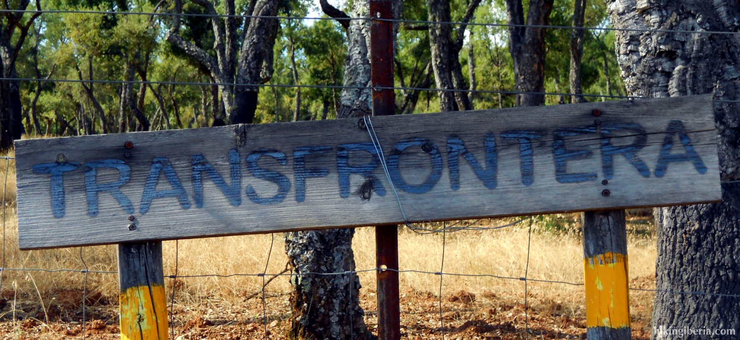
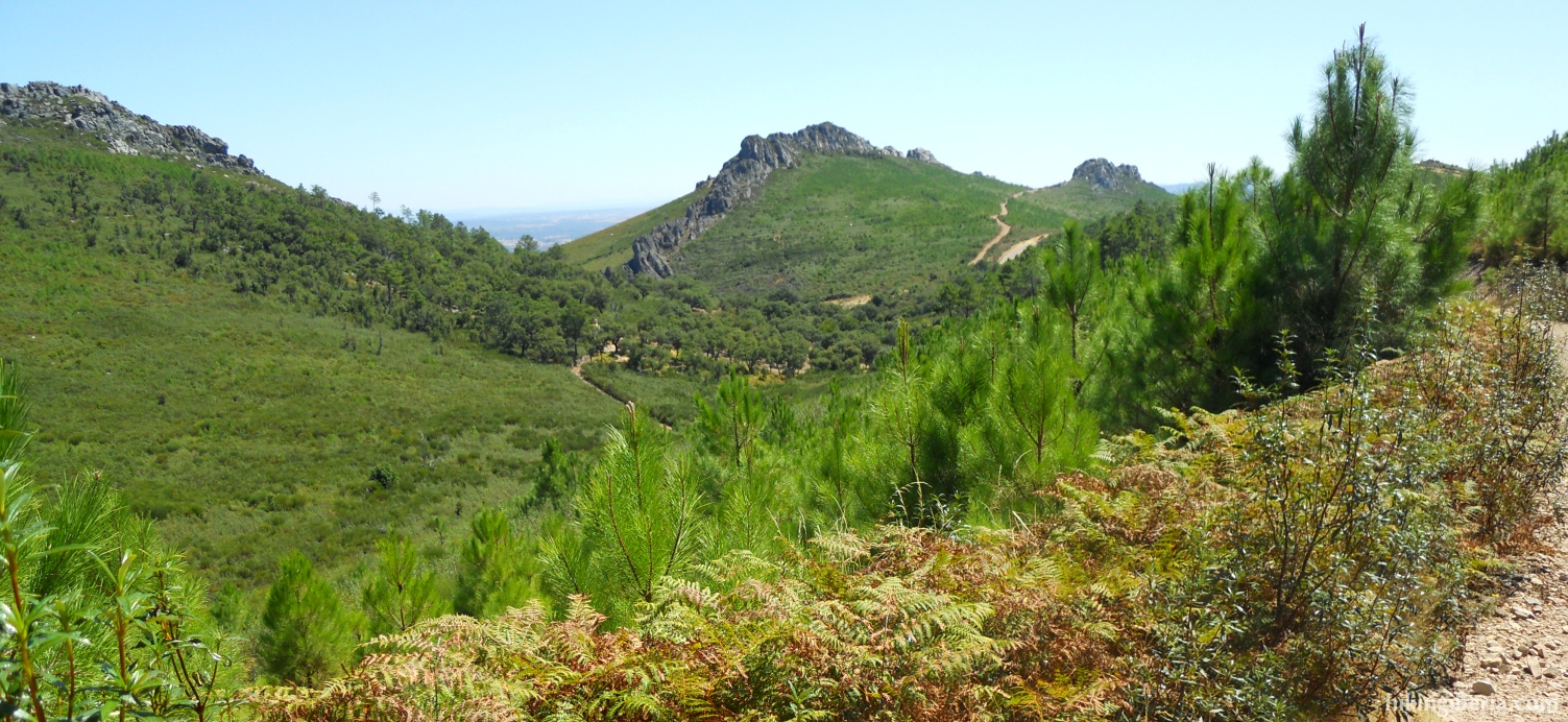
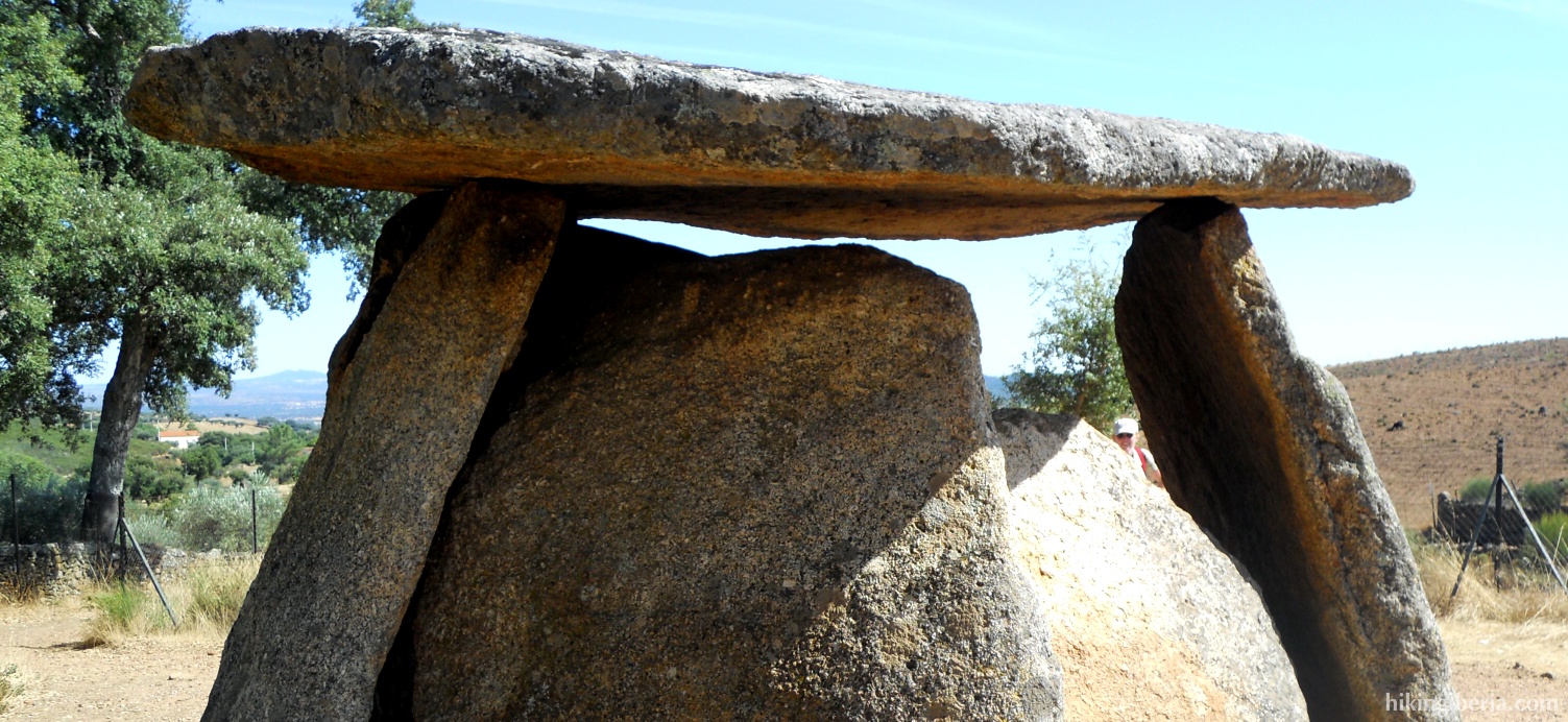
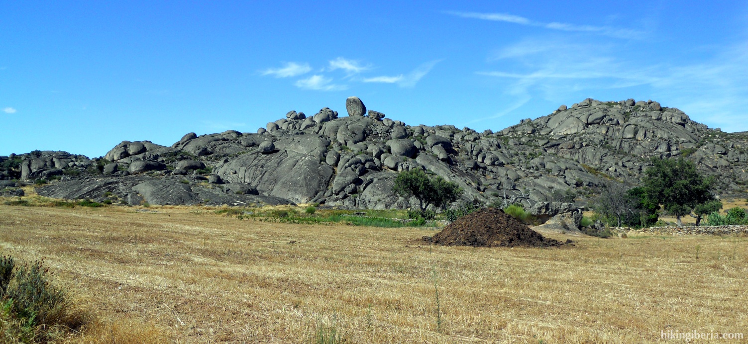
The Transfrontera is a long and very varied hike that shows the best of the Sierra de San Pedro. In general the entire route is marked well. Every year in April/May the route is walked by the local population and around that time the marking is revised and improved. In other periods of the year it is possible the marking lacks on occasions, therefore we offer a detailed route description. The route leads along a few dolmens, which are stone constructions stemming from the prehistory, and that can be compared to cromleches. Especially the dolmen “El Mellizo” is of interest because of its size and its good state. Although the hike is long, it is not too tough because of the gradual differences in altitude and the good quality of the trails.
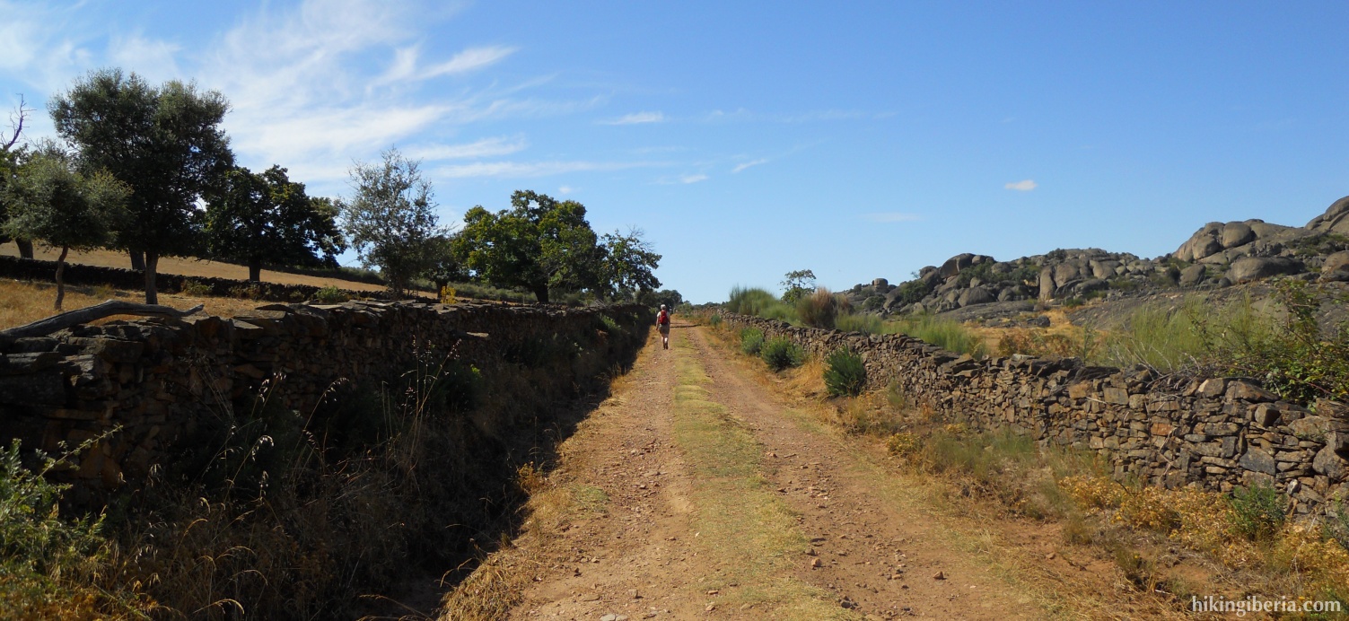
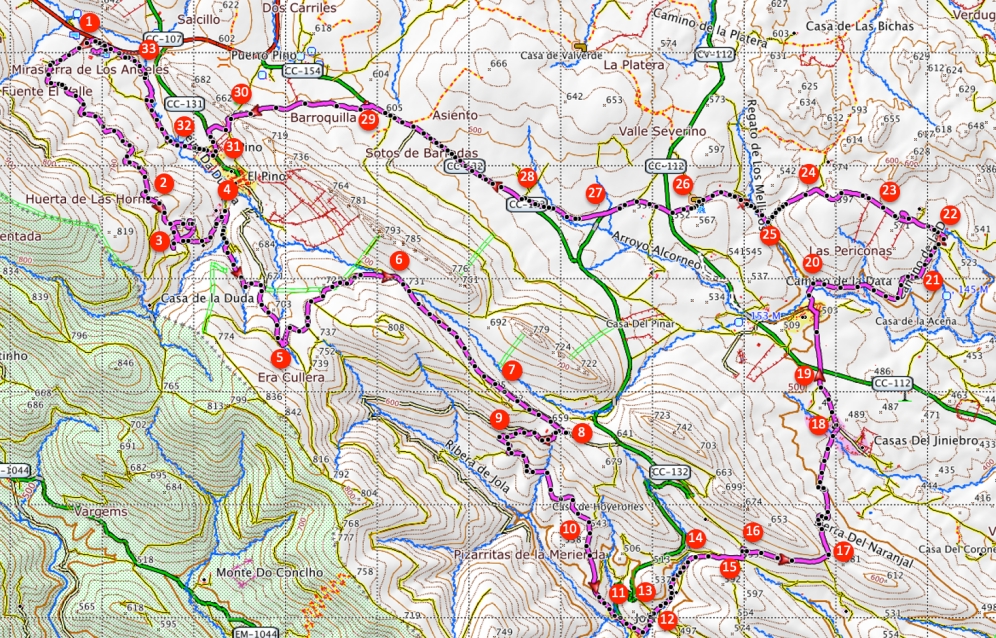
- From the inn, outside the gate, departs a dirt road parallel to the N-521, in the direction Portugal (1). At the beginning stands a sign “Transfrontera”. Past the premises of the inn this road turns along the premises further uphill.
- At the first crossing we encounter, indicated with “Del Cruce” we go straight on. At the next crossing we again go straight on.
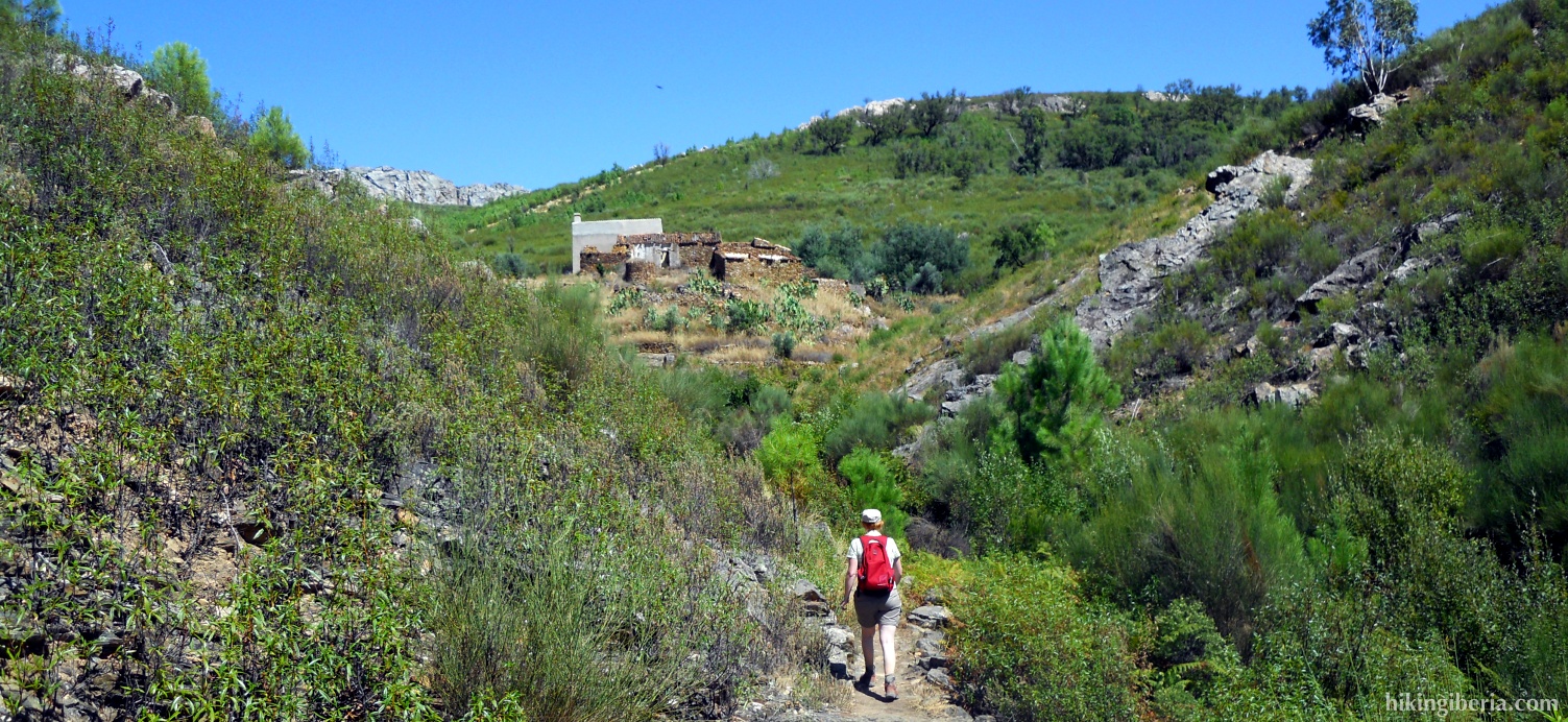
- After a while we get along “La Duda”, here past the bend we take the side-path on the right (2). A bit further on in the bend of the trail we see a house (3), where we further follow the path downhill. At the next fork we go straight on downhill; further on at a house (4) we turn right uphill.
- At the next fork we keep left and continue to climb. We get at a small bridge where various trails come together (5). Here we cross the bridge and take the trail to the left. Where further on the main path bifurcates, we keep left. We ignore the next path on the right. Further on from the left another path joins our trail, we go straight on here. We get past another path on the left (6), which we also ignore.
- At the next Y-junction (7) we turn left downhill. Further on we get past a farm, here at the fork we turn right taking a bend that is square to the trail (8).
- At the next fork (9) we take the path to the left going steeply downhill. At the next T-junction we turn left, then we ignore the next side-path on the right and continue to descend.
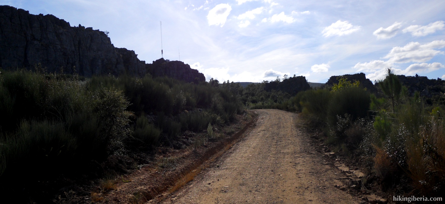
- At a fork with an antenna mast (10) we keep right and take the trail straight on.
- We now get through the village of Jola. When we get at the asphalt road we turn right (11). At the next fork in the village we take the street on the left uphill. At the top in the village at the end of this street, we take the trail at the back to the left (12).
- We get at a broad path (13). Here we turn right and then directly to the left again entering a small trail. Further on we get at a broader trail again, where we turn left (14).
- At the next crossing we turn left further uphill (15). At the next turn we go right (16).
- We now walk further uphill until we are at the mountain ridge (17). Here various trails come together. We take the path straight on that leads over the mountain and then turns left to go downhill.
- After a considerable descent we get at a dirt road where we turn left (18). This road further on turns into asphalt. At a crossing with another asphalt road we go straight on (19).
- In the village La Aceña de la Borrega we take the first road to the left; past the church we turn right (20).
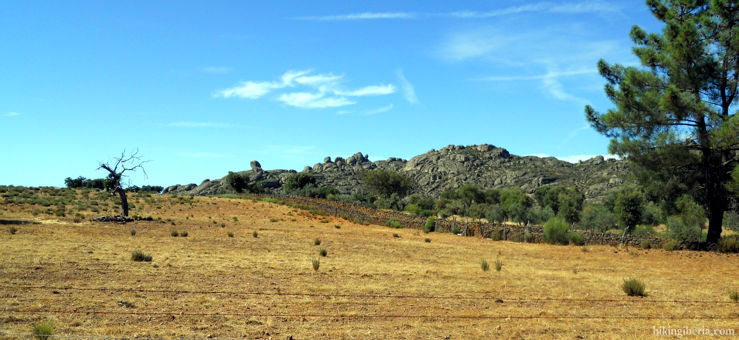
- Ignore the next path on the left. Further on at the right of the road stands a signpost to a dolmen (21). We ignore this path (unless you want to visit this Dolmen).
- A bit further on stands a signpost for the dolmen El Mellizo (22). We take this path.
- At the next fork just behind the dolmen (23), we turn left. Next on the right of the path, lies a small trail to visit the dolmen, which is recommendable because the dolmen El Mellizo is one of the best dolmens of Extremadura.
- After the dolmen we continue the trail. After finishing a climb, we ignore the path on the left. After this we start descending and get at a T-junction where we turn left (24). We descend further and at the T-junction below we turn right, past a house (25).
- Past this house we turn to the left following the path. At the next Y-junction we turn left uphill. At the next fork we keep left again. Further on we get a crossing of asphalt roads (26), where we go straight on.
- We continue until in a bend turning left, at a crash barrier on the right of the road, starts a trail that is indicated with the signpost “Transfrontera” (27).
- We follow this path, which gets more and more narrow and overgrown, and leads along a fence. Eventually we end up at an asphalt road where we turn right (28).
- We walk along this road until we encounter on the left of the road a trail with a signpost “Transfrontera” (29). Here we turn left.
- Now we start climbing again. We ignore three side-paths on the right. Next we go with the bend to the left, past a building with a sort of swimming pool. Behind it we turn right.
- We follow this path until we get at an asphalt road, where we turn left (30). We continue until we get at the village of El Pino, where we turn right just before the first buildings (31).
- Next at the fork we turn right (32) and cross the stream.
- At the next T-junction we turn left (33). Further on at the fork we turn right to end up at the car park.