NL
NL  IT
IT  DE
DE  ES
ES  EN
EN 
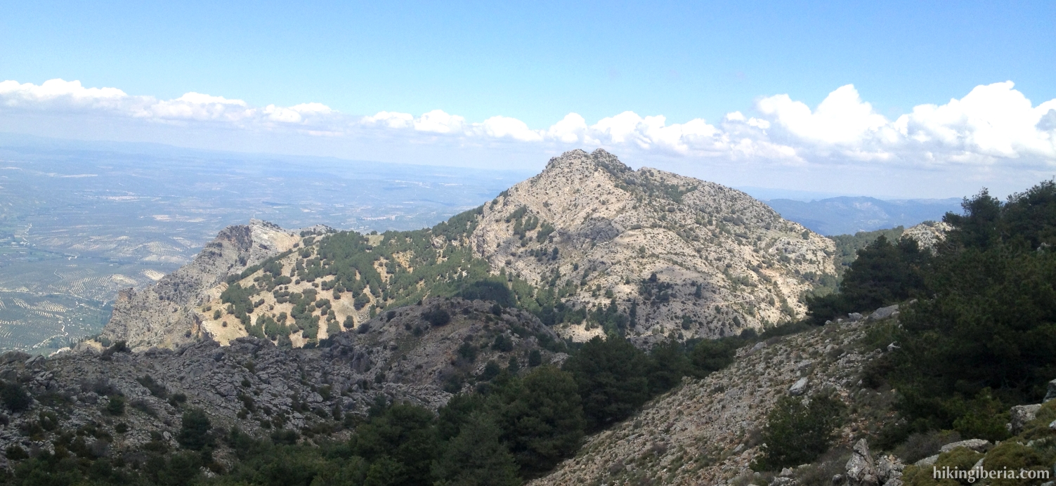
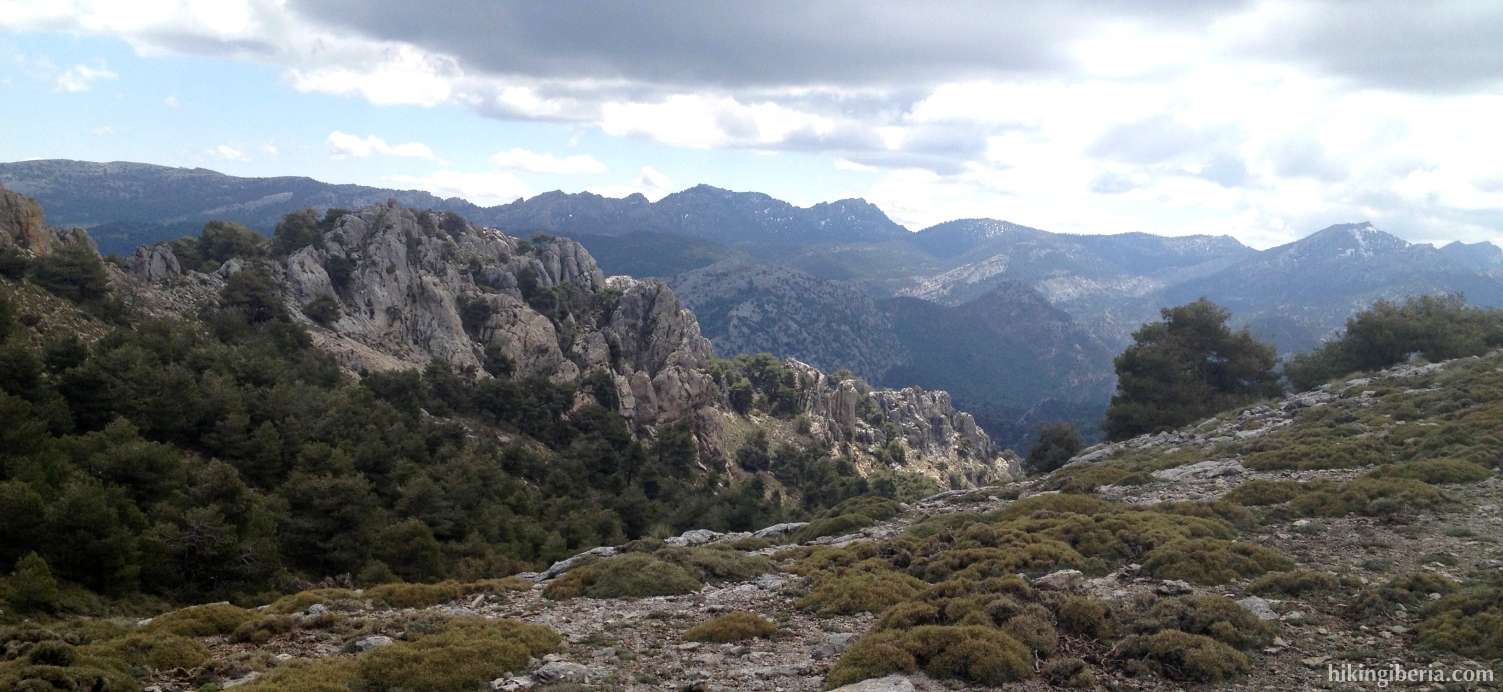
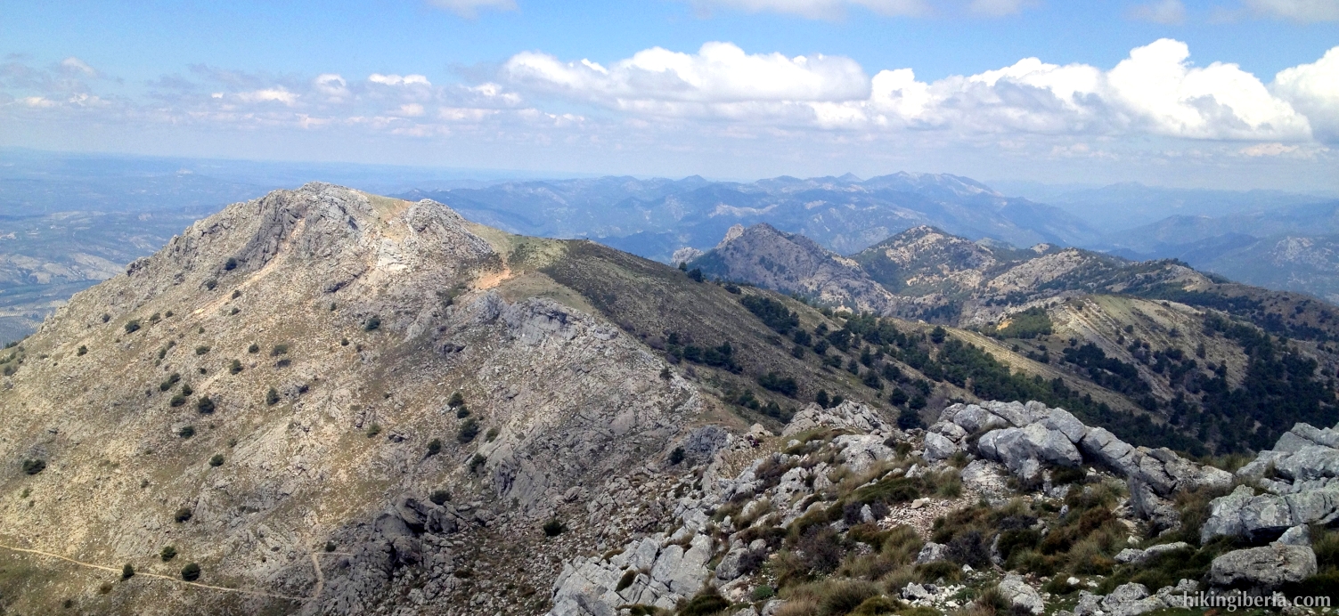
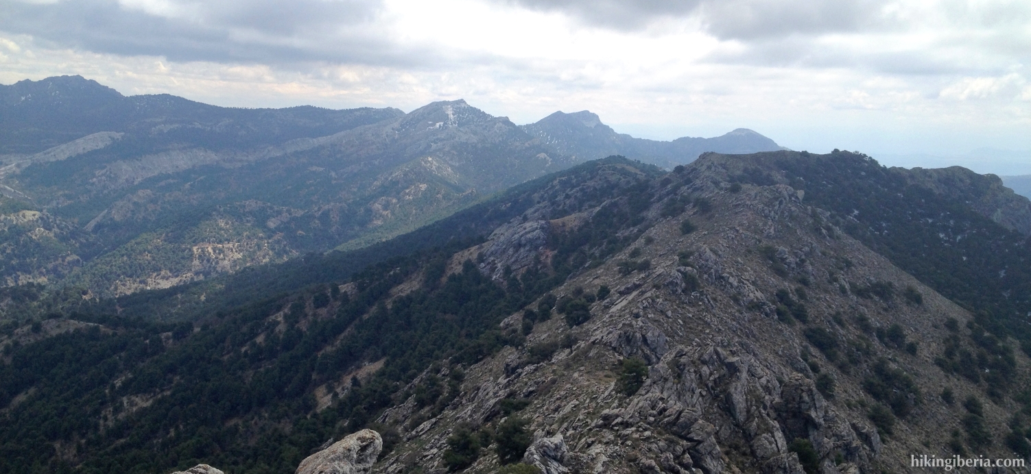
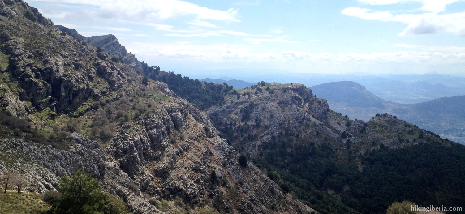
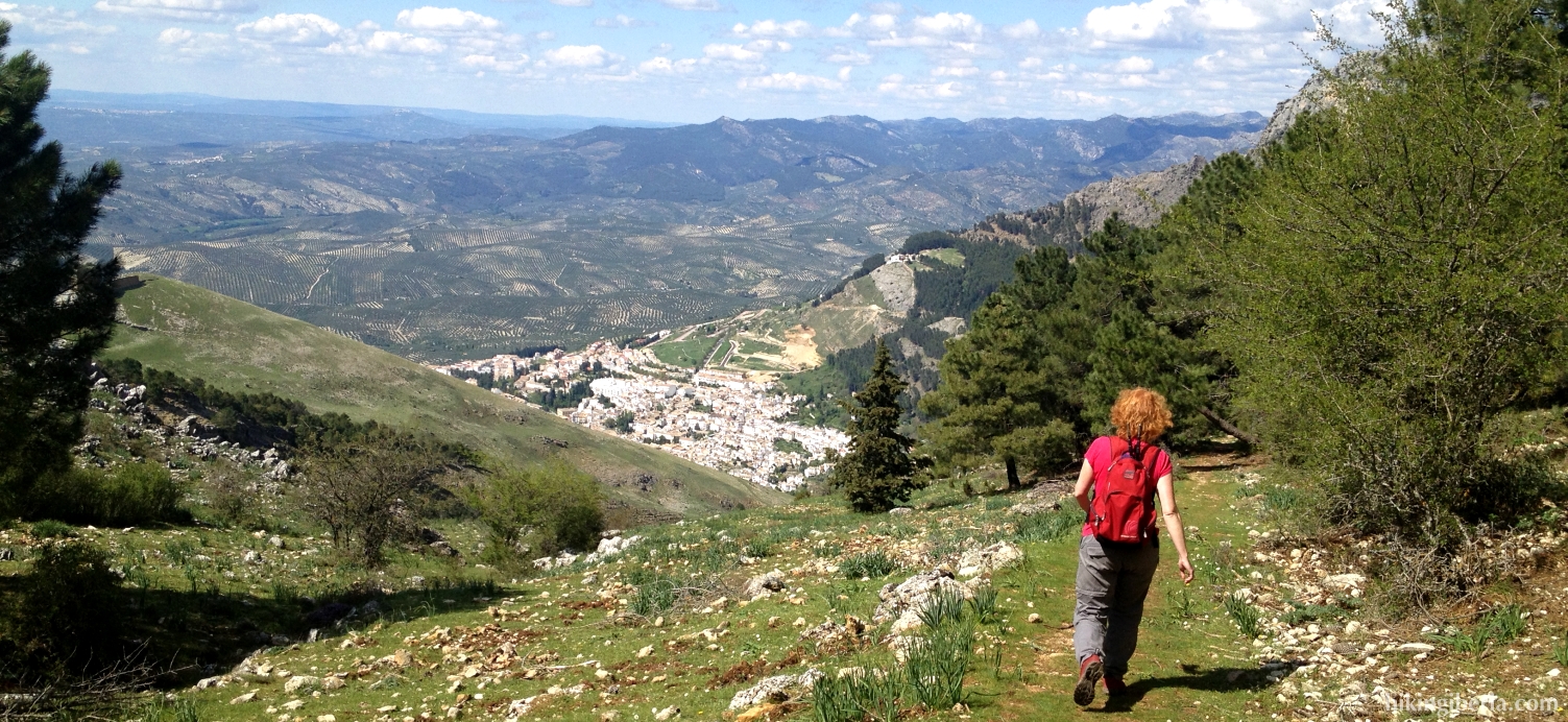
During this hike we climb el Gilillo, the highest peak of the Sierra de Cazorla, from where we have a very wide view on the entire surroundings: towards the northwest on the open olive fields of the province of Jaén, towards the west on the Sierra Mágina and closer towards the northeast on the Sierra de Segura. The surroundings are spectacular because of their rough, rocky character. On the way back we walk via Los Castellones and the Ermita de la Virgen de la Cabeza, which makes the hike hard because of its length and the total difference in altitude. To avoid this we can alternatively go back to the parador of Cazador via the same route as on the way out.
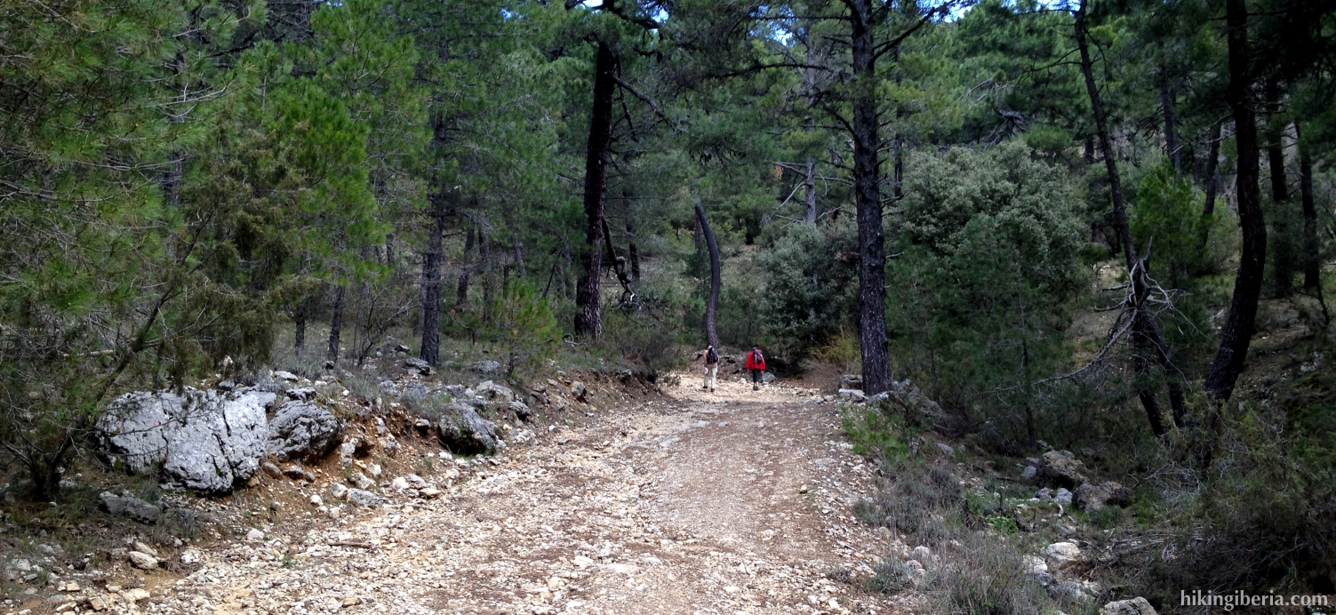


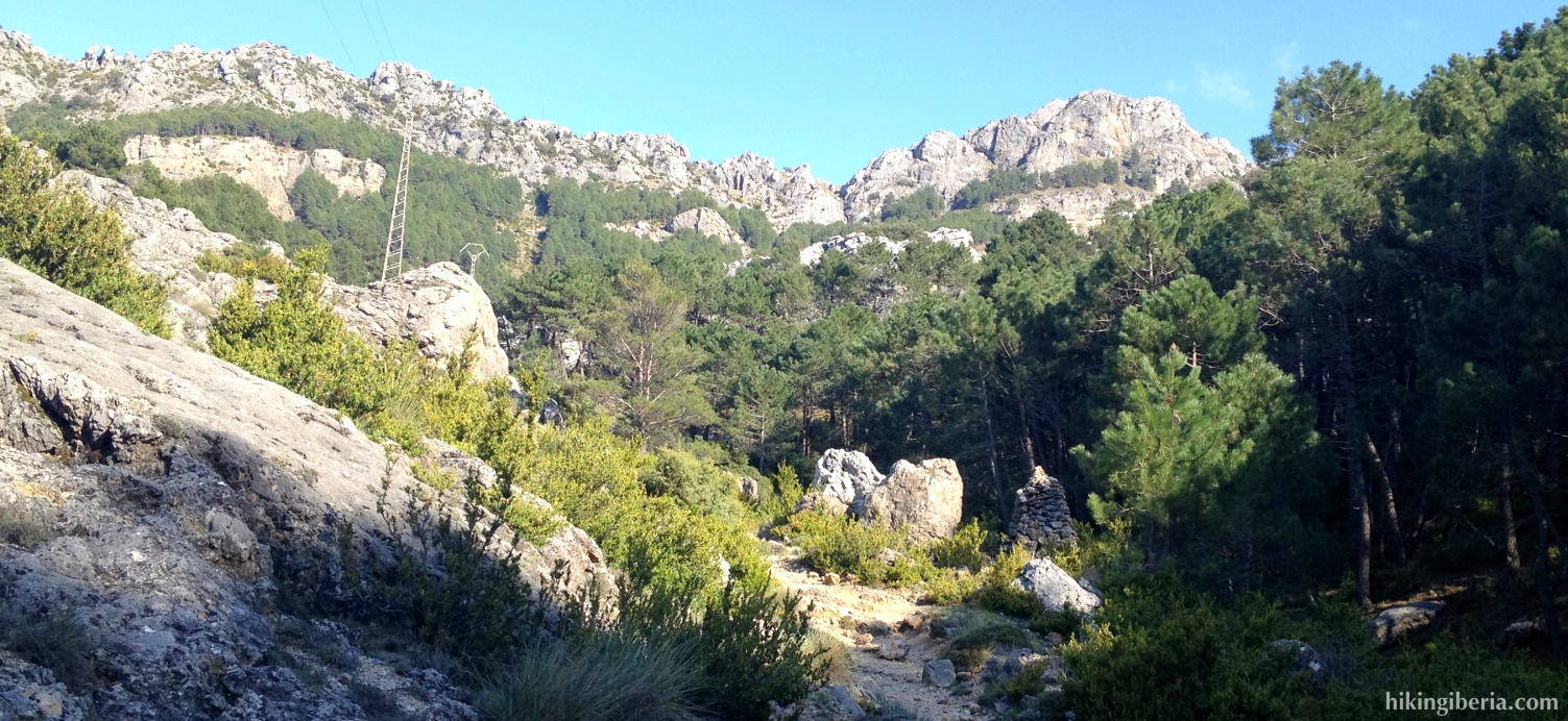
- From the parador (1) we walk back to the asphalt road and turn left until we reach a path behind a barrier (2). We enter this path, marked with “Puerto del Gilillo”. We now follow the GR-247, marked white-red.
- We get past a point where the trail forks (3). Here we can go both to the right and the left since the trails further on converge again. A bit further on at a fork (4) we turn to the left, following the white-red marking. Next we ignore a trail on the right.
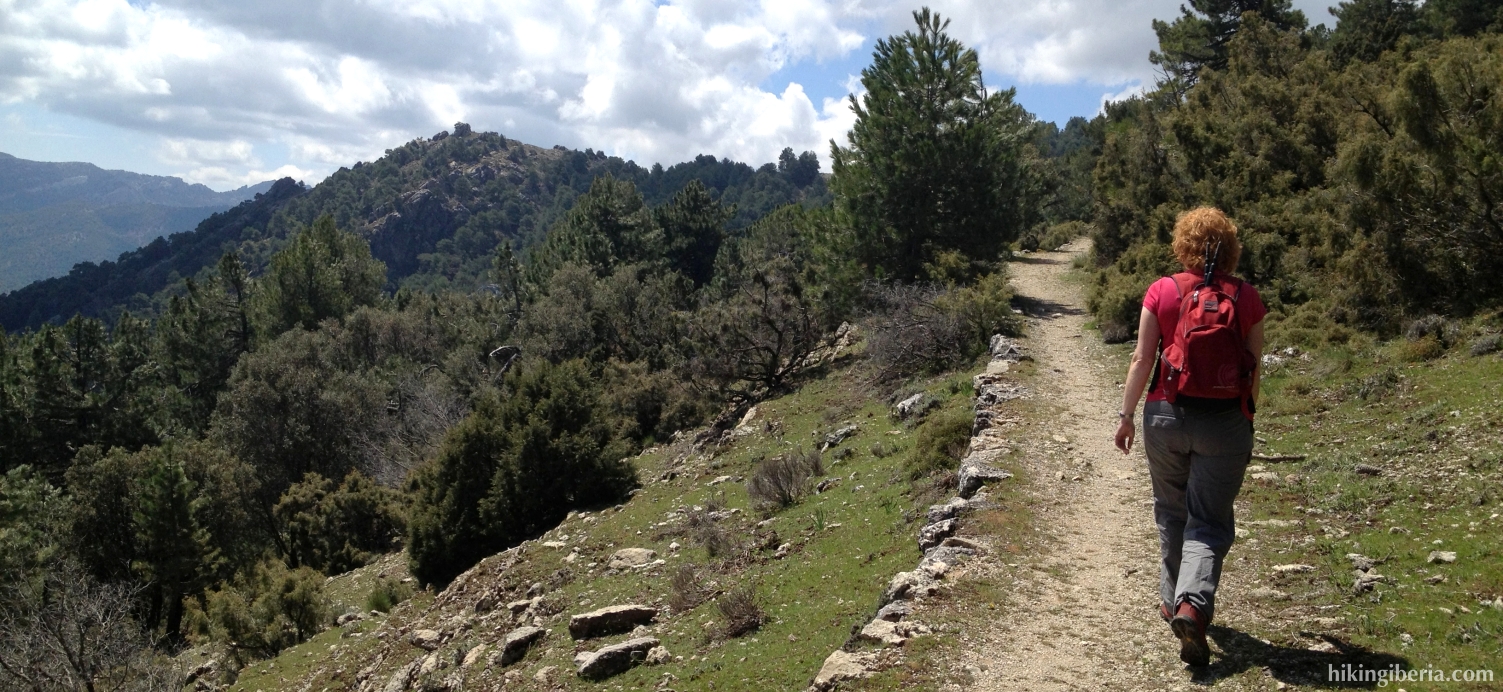
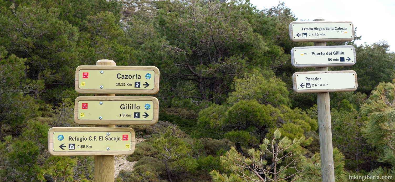
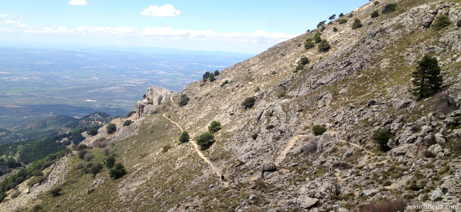
- We now reach the Puerto del Tejo (5) where we turn left, following the signpost to the Puerto del Gilillo. We now get at the PR-A-313, which is marked white-yellow. We now follow this trail the entire time and on an open space (6) we keep right, ignoring the trail to the left/straight on. A bit further on we get past a number of signposts (7), where we continue straight on, still in the direction to the Puerto del Gilillo, following the white-red-yellow marking.
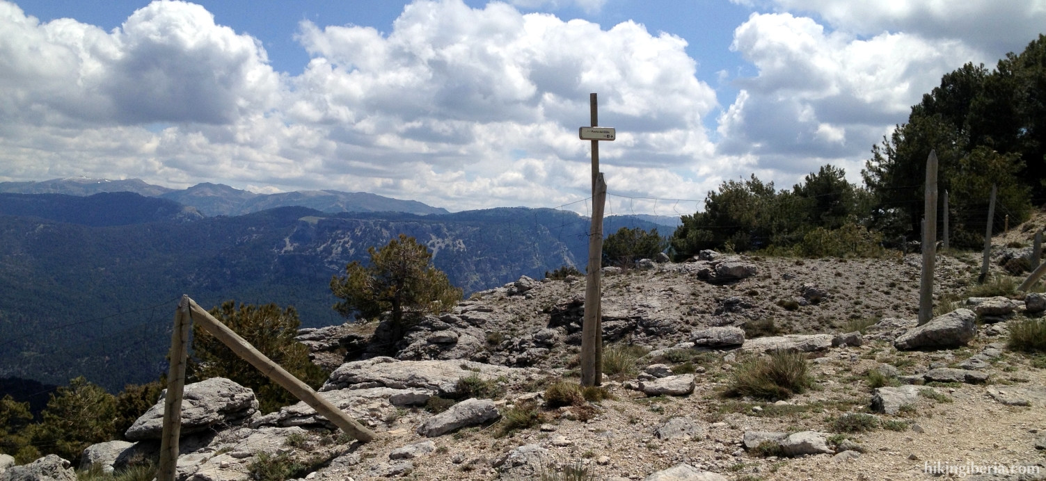
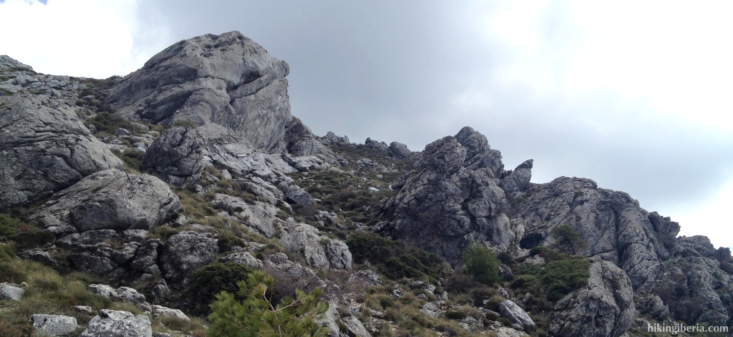
- Once at the Puerto del Gilillo (8) there is a path on the left as well as on the right, but we continue straight on towards the Pico del Gilillo that we see in front of us. We reach this peak via a narrow trail, on which we need to make sure we reach the top via the right flank.
- Once on the Pico del Gilillo (9) we follow the trail back to the Puerto del Gilillo (8) where we now turn left, signposted in the direction Cazorla. To shorten the route we can also go straight on at this point, back to the Parador via the same route.
- We follow this path for quite some time and at a Y-junction (10) we turn right, still following the white-red-yellow marking and the signpost to Cazorla.
- We reach a dirt road (11) where we turn right. This dirt road after a while terminates at an asphalt road (12) where we turn right.
- We now follow this road for a long time until we reach a paved road on the right (13), signposted with a sign “GR-247 / 1 km”. We enter this road and go uphill.
- This road takes us to the Ermita de la Virgen de la Cabeza (14). Just past it there is a fork of trails. We take here the trail on the right/straight on that is signposted with “El Gilillo” and that is marked again red-white and also yellow.
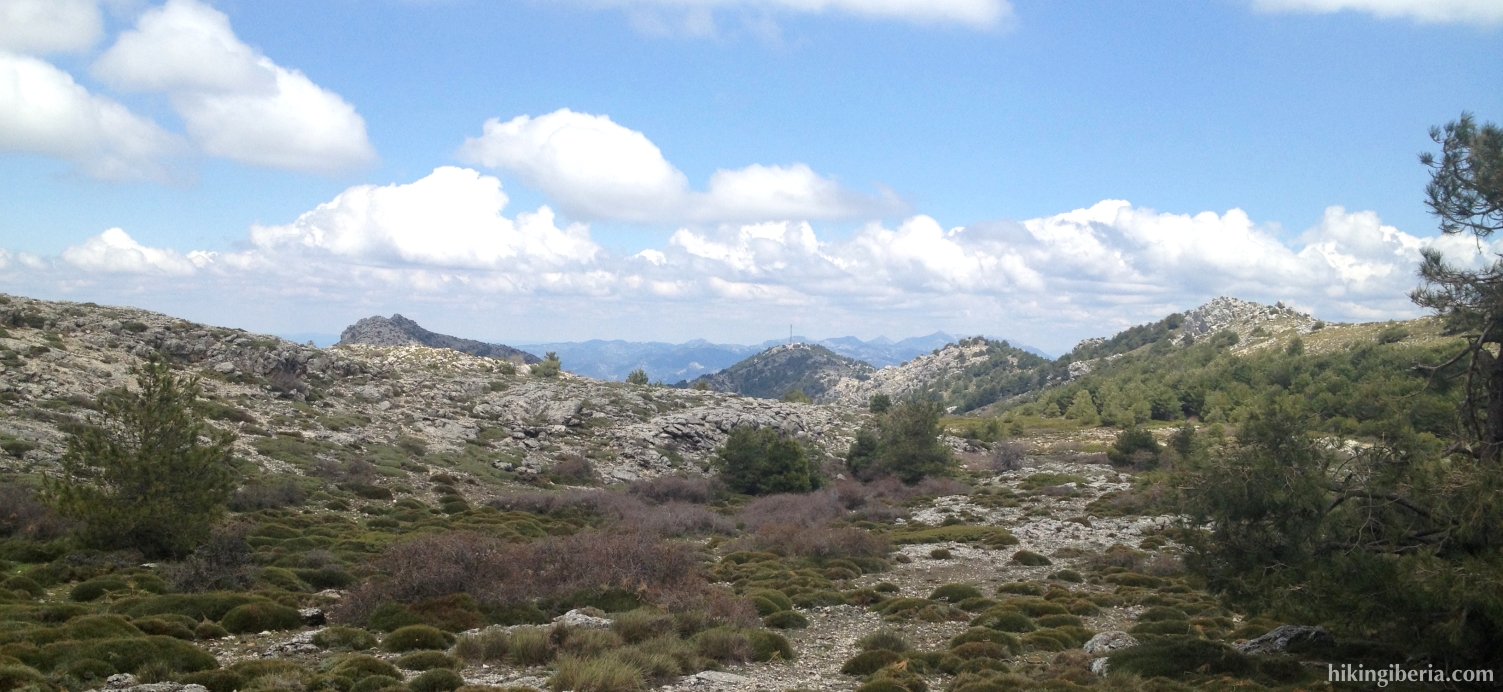
- This path eventually brings us to an open space (15) where we need to make sure to keep right. We now follow this path for quite some time, which will eventually bring us back to the Puerto del Tejo (16). Here we now turn left and walk back to the Parador (1) via the same route as on the way out.