NL
NL  IT
IT  DE
DE  ES
ES  EN
EN 
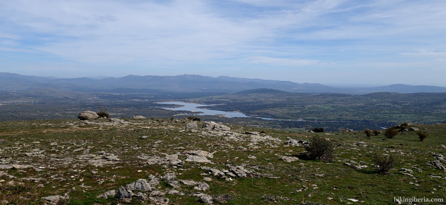
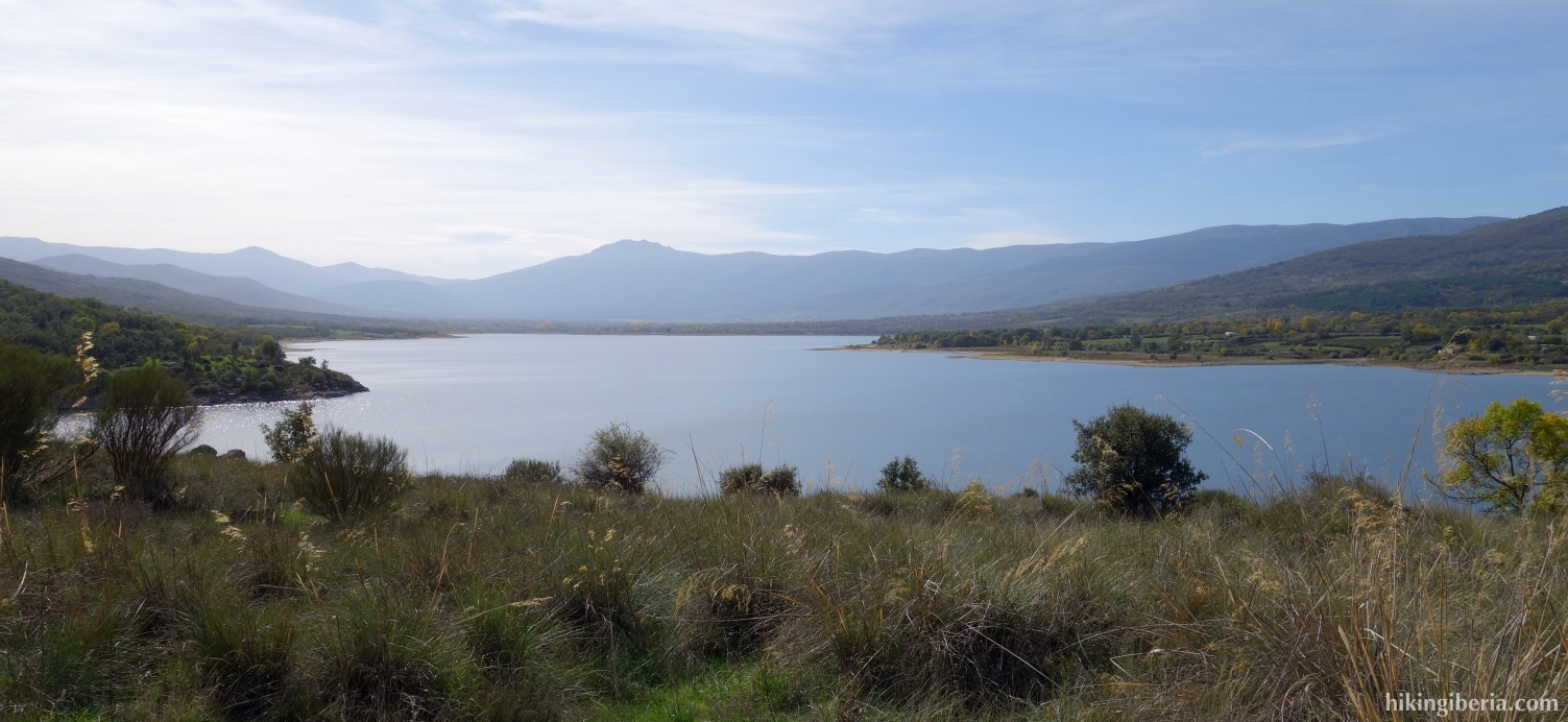
This hike from Lozoya leads through a wide and comfortable path without too much elevation gain to the peak La Cruz. Although the summit is only 1.500 metres high, it still gives a nice view of the Sierra Norte de Madrid and the reservoir of La Pinilla, because the peak is situated on a nice wide open pasture.
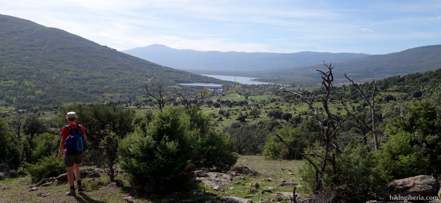
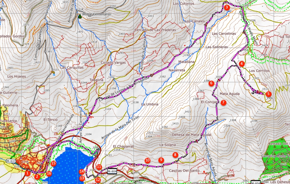
- From the car park (1) we walk back to the M-604 (2) which we cross, into the Calle Toril. This street continues into the Calle de las Eras Chicas and further on becomes a dirt road, the Camino de Navarredonda.
- This dirt road we follow a long time, go over some cattle grids and ignore various side-paths. Eventually - when we are already above 1,300 metres - we reach a pass, at a metal gate that closes off the dirt road (3). Still before the gate we turn right onto a narrower path (which is also used by cars).
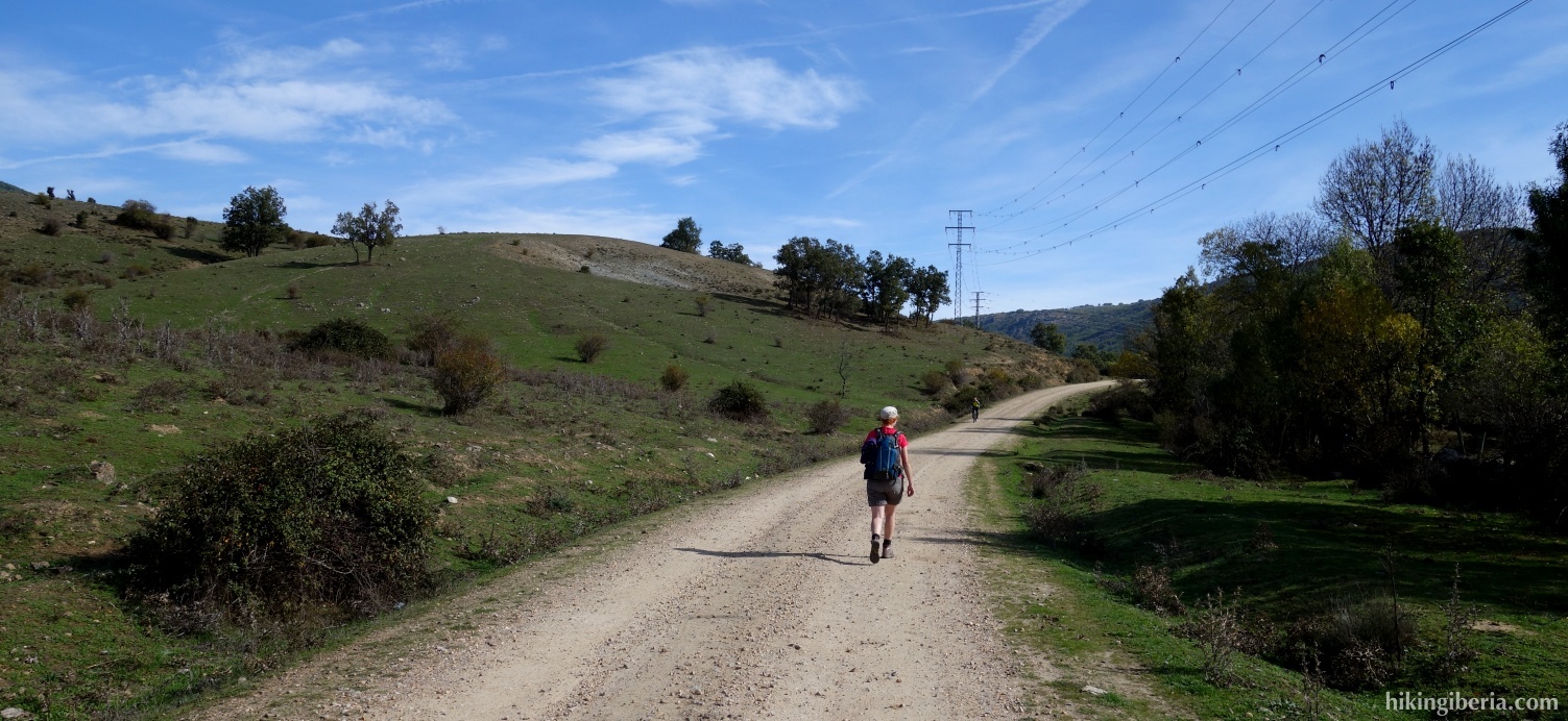
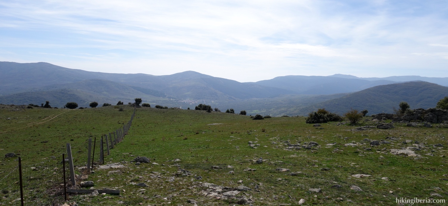
- This path runs parallel to a stone wall, which is on our left. We follow this path for quite some time and further on at the Y-junction (4) keep left. The stone wall on our left has by now changed into a fence wire.
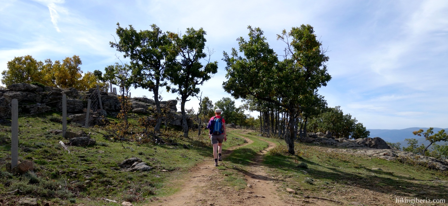
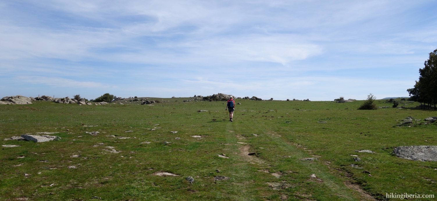
- The last stretch we walk through a large open meadow, where after a while we see the pole of La Cruz (5) in front of us to the left.
- Once at the top we walk back through the same path to the Y -junction (4), where we now turn left. After a while we see a small mountain (El Chaparral) lie ahead. Here we ignore a path to the right and go straight on (6). The path turns somewhat to the left. A little further we need to pay attention and turn right at a big pile of milestones (7).
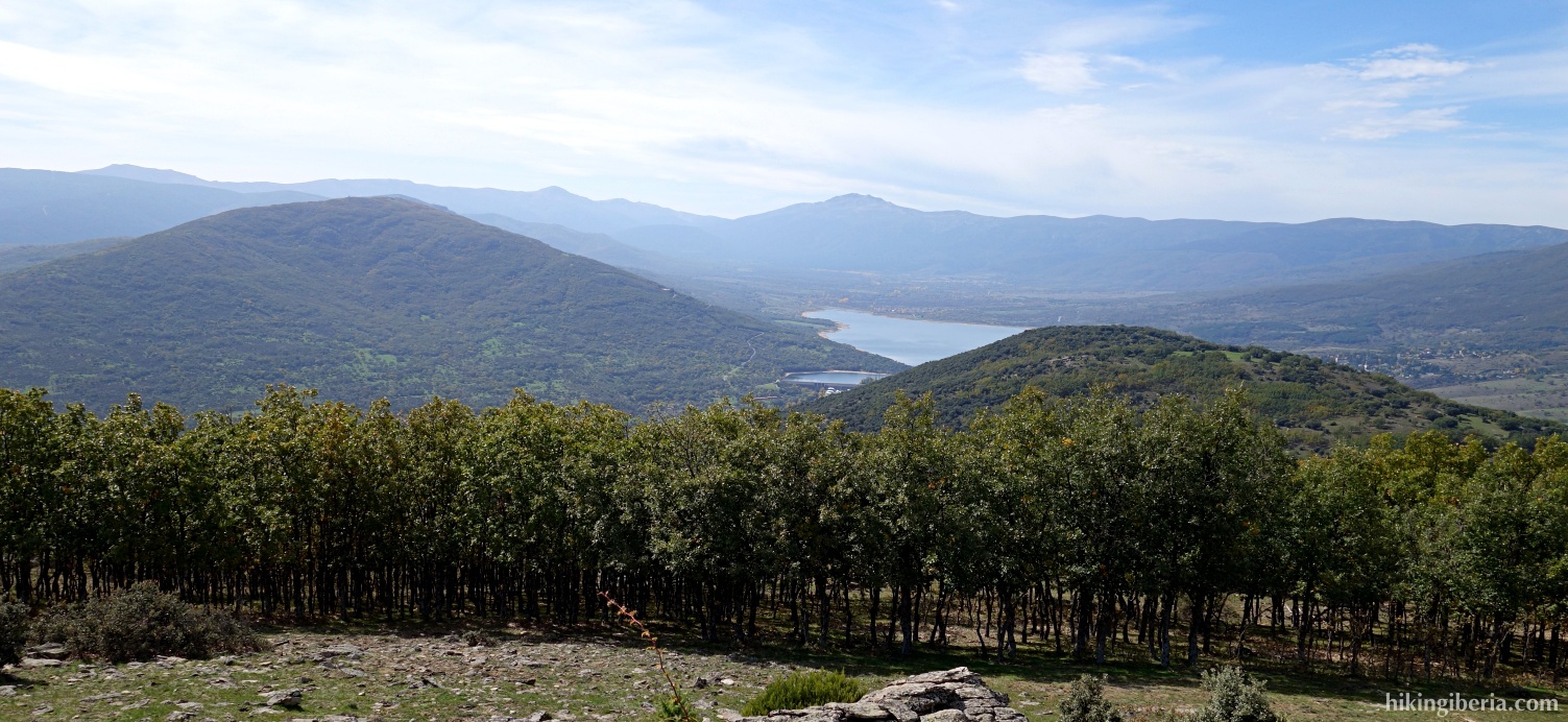
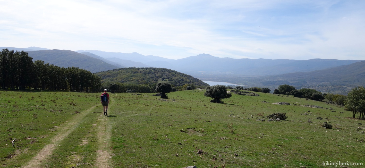
- This path we follow some time down and we ignore a number of side-paths . The path is sometimes less visible, but if you take the valley with the lake as orientation, all goes well. On the last stretch the path is virtually absent, but with the valley in front of us as a target we walk down between the trees, keeping slightly to the right.
- So eventually we reach a wide path (8), where we turn right. After some time we arrive at a broad path where we turn left (9). Then at the Y-junction (10) we turn right.
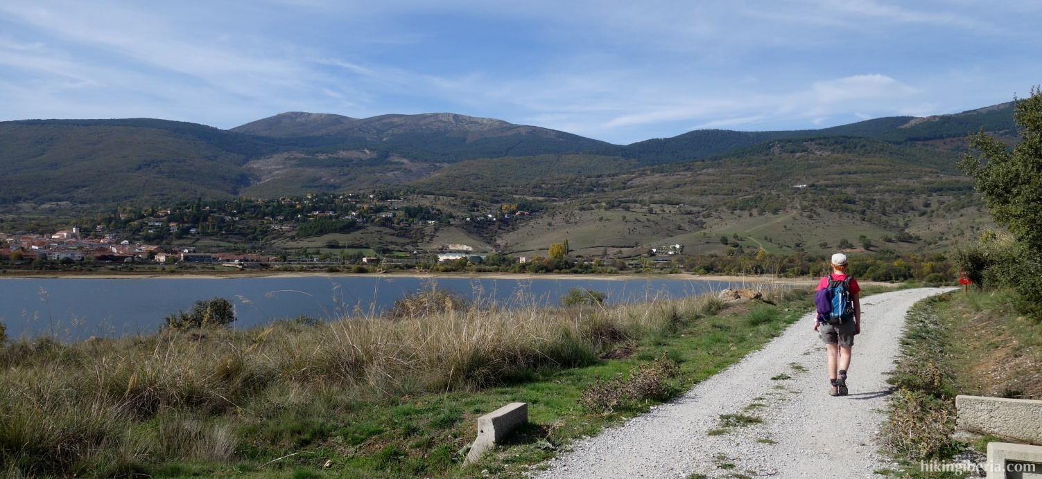
- This path we follow quite some time and pass a farm. Eventually we arrive at the M-604 (11), which we cross. A little further on we turn right at the fork (12). A little further on we arrive at a gravel path at a small building of Canal de Isabel II, where we turn right (13).
- A little further on we follow the sign to Lozoya to the left (14). We walk a few kilometres on the path along the lake that leads us back to Lozoya. At the heliport (15) we continue straight ahead. A little further at the fork (16) we go right, which brings us back to the entrance of the parking lot.