NL
NL  IT
IT  DE
DE  ES
ES  EN
EN 
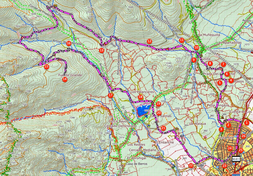
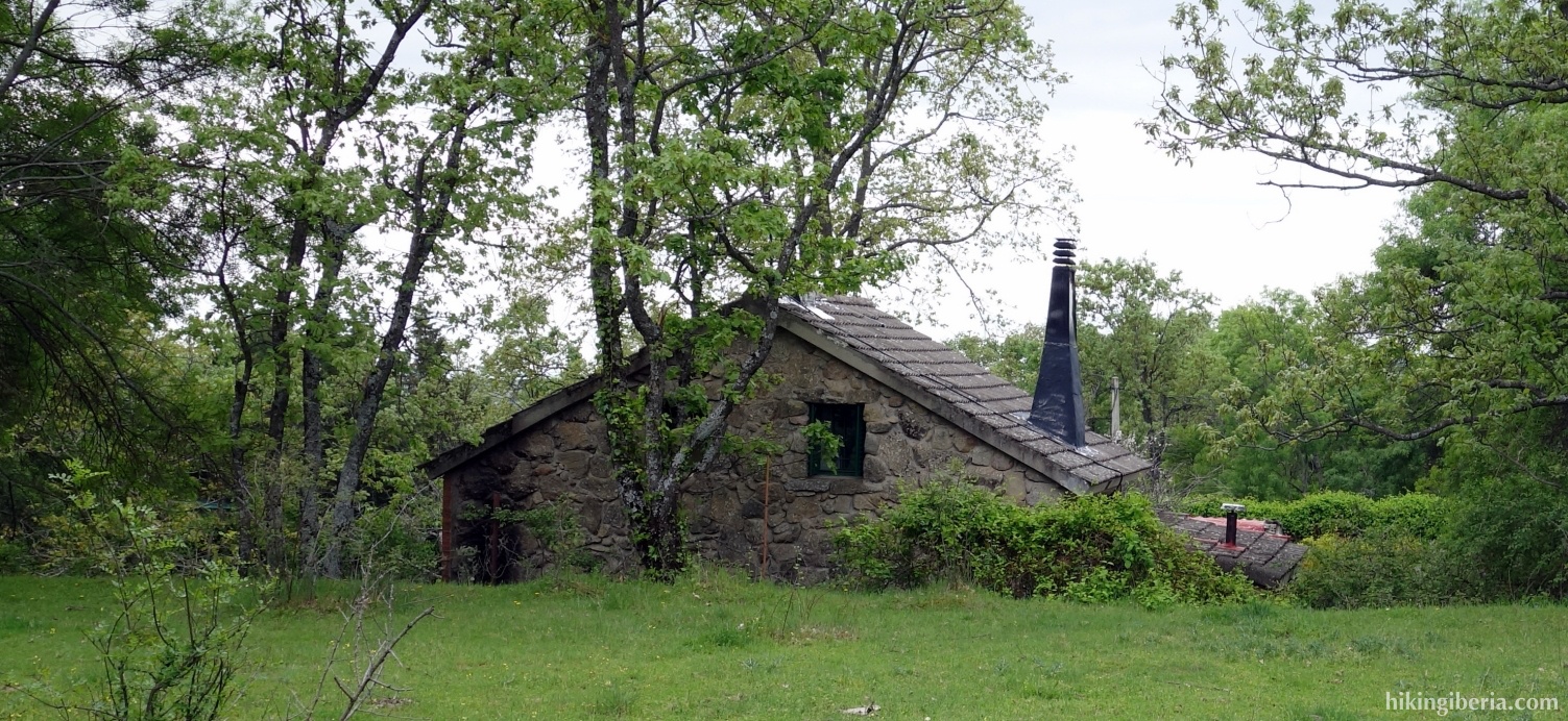
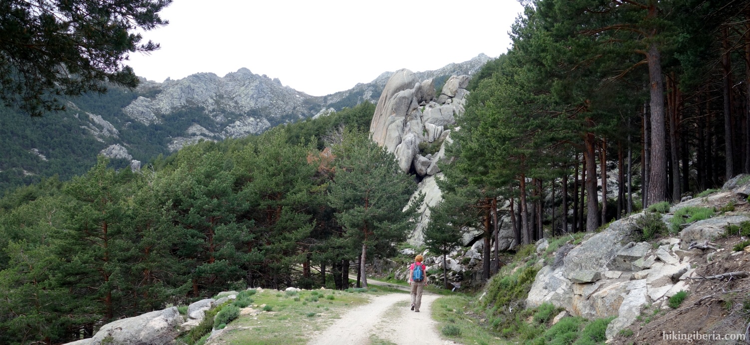
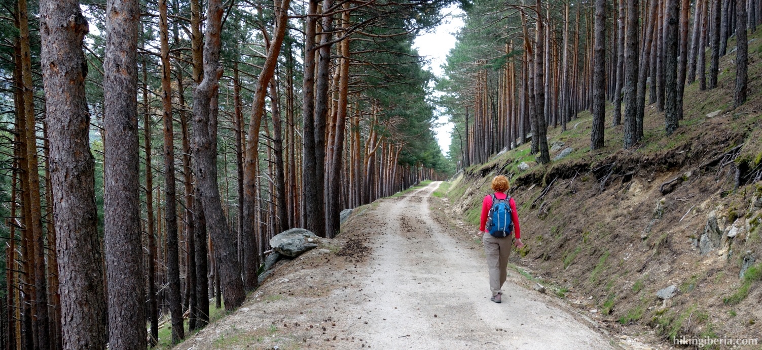
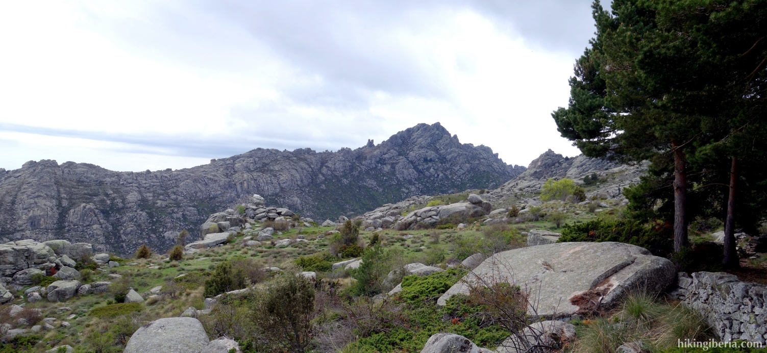
The "Hoya de San Blas" or "El Hueco de San Blas", is a mountain valley that lies on the south side of the central part of the Sierra de Guadarrama. During this long hike, which starts from Soto del Real, we walk through a large part of the valley which gives a nice view on the Pedriza which lies behind it. Especially at the end of the "Pista Alta", a dirt road which runs through this area and on which we walk for several kilometres, we have a nice view on the Pedriza from a different angle than we are used to.


- We follow the wide trail marked with the sign "Via Pecuaria '(1). Further on the path splits at a Y-junction (2) and we keep right. Soon we arrive at a wide path (3) where we turn right.
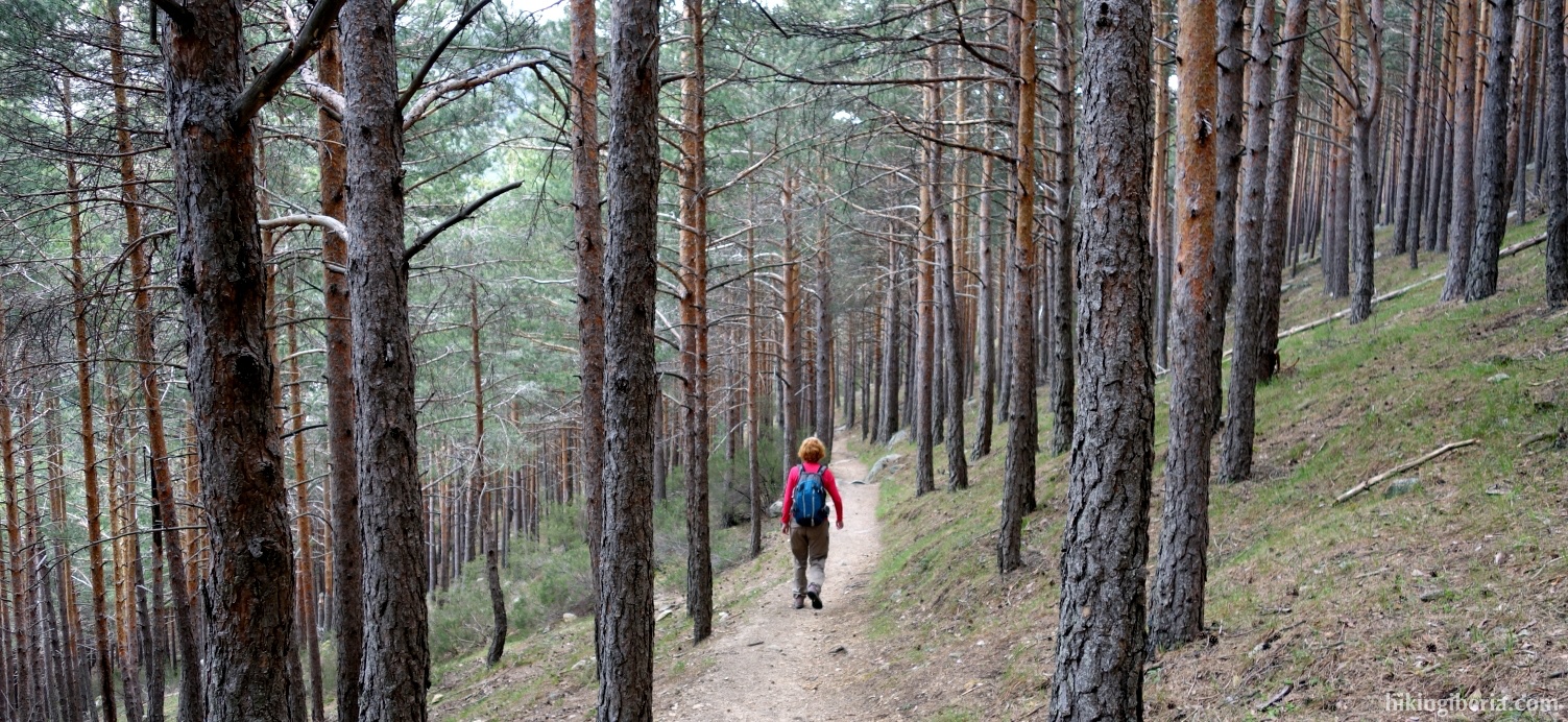
- Further on we reach a dirt road where we turn left (4). After a short walk we turn right (5) onto a wide trail behind a gate. This trail further on ends at a fence. The path turns slightly to the right here and then slightly to the left to go around the private property (6) and continues as a narrow trail between the trees.
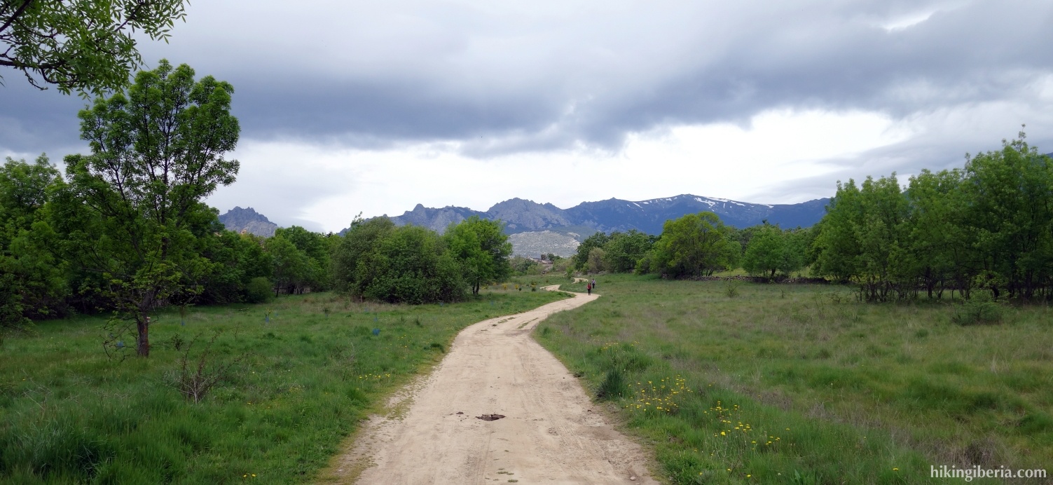
- A little further on the path forks and we turn left (7). Here we have to pay attention to stay on the path which ends near a house, where to the west we look for a wide path, on which we turn right (8).
- A little further on we ignore a path on the right. We end at a dirt road near the Capilla de San Blas where we turn to the right for a short stretch (9). Next we reach a dirt road, where we turn left (10).
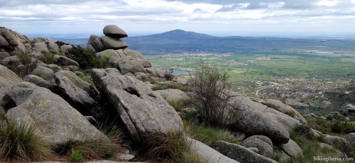
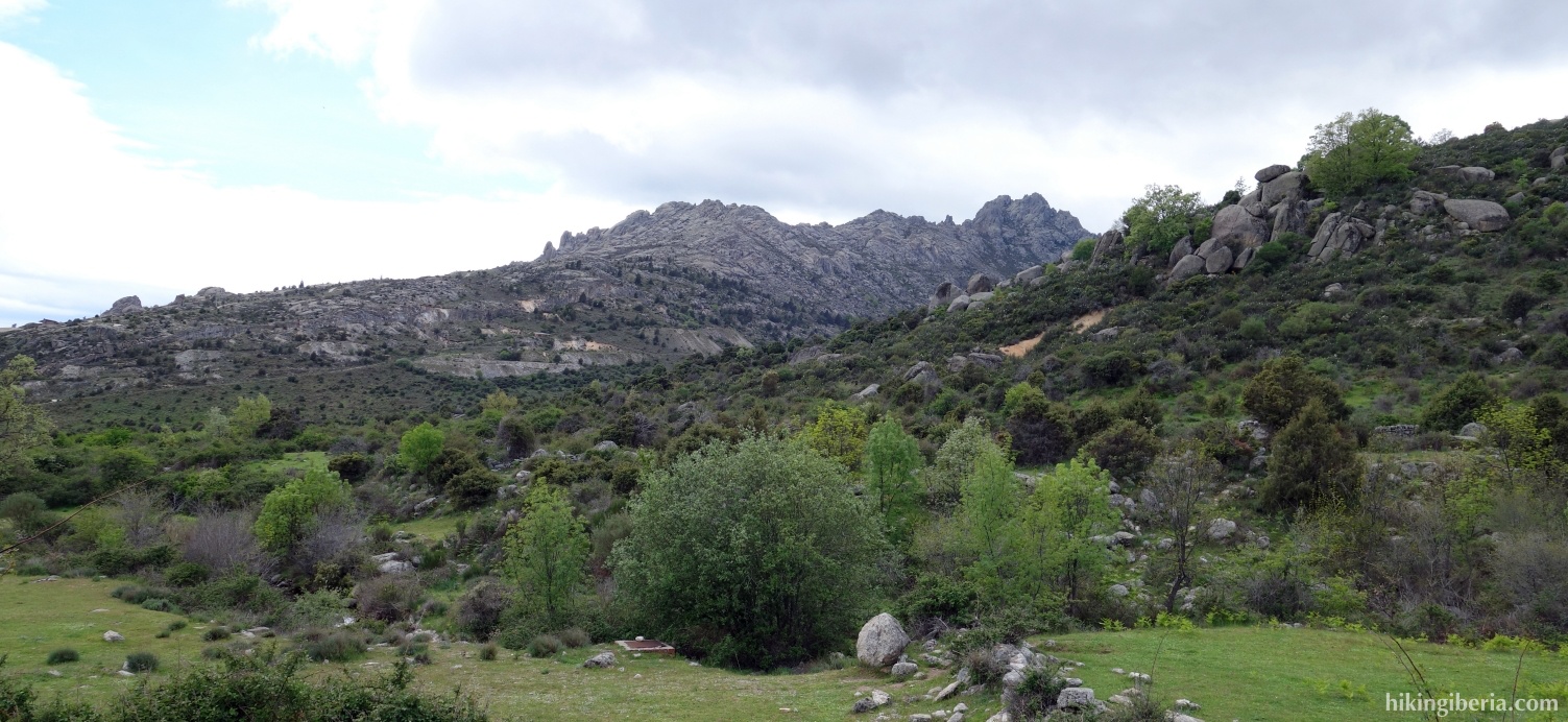
- After a while we turn left on a narrow sand trail (11), where in front of us we have a beautiful view on the Pedriza. Through this trail, we reach a wide path (12) where we turn left.
- We start to climb a bit more and after a while we reach a cattle grid where at the left a trail leads downhill (13). However, we continue straight on here and keep following the wide path - the "Pista Alta" during several kilometres until it ends (14). Here we have a beautiful view on the Pedriza.
- We follow this wide path back for a while until we see a narrow trail on our right (15), which we follow downhill and which leads us to a wider path, where we turn right (16).
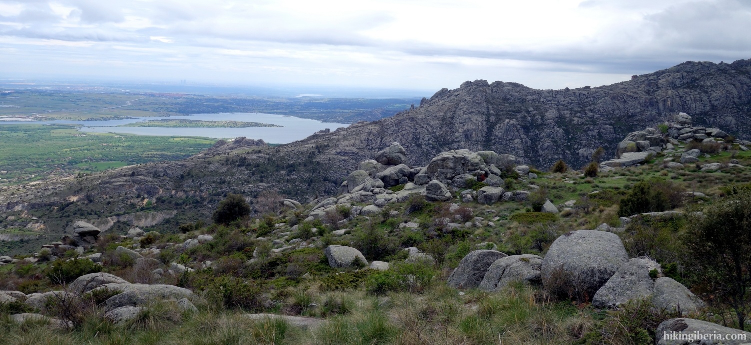
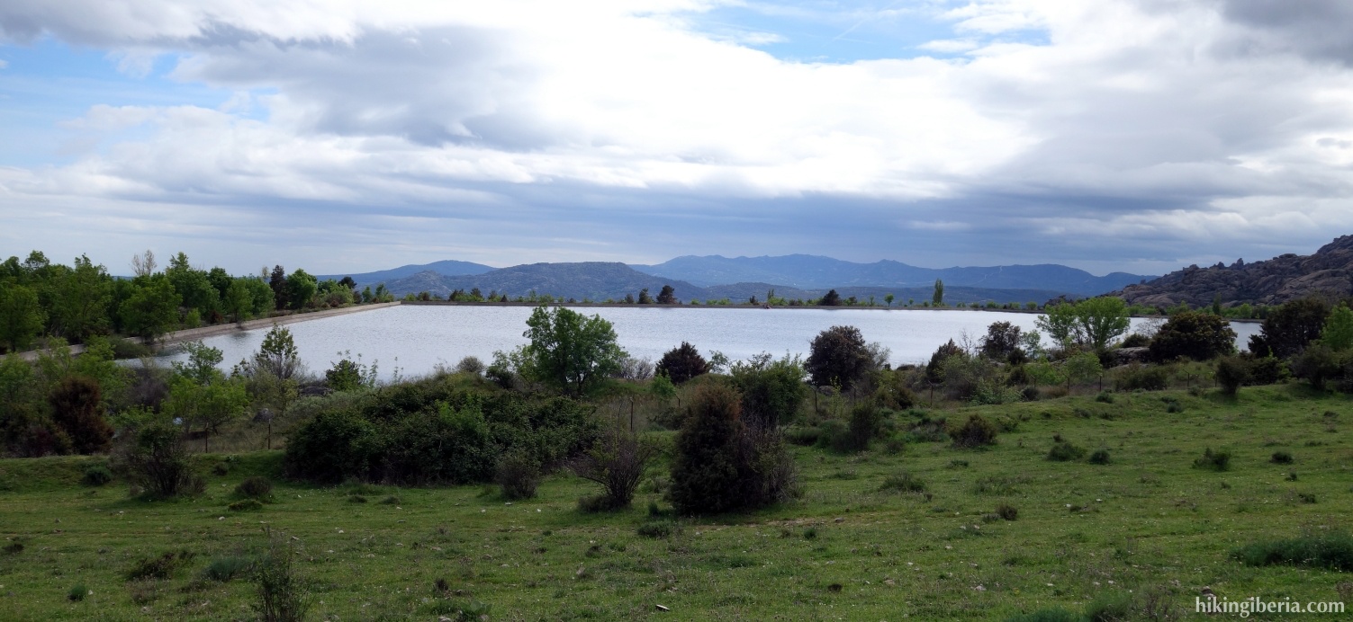
- This path we follow for some time until we reach a junction where we turn left (17). Through this path, we walk past the reservoir "Embalse de los Palancares" (18). Once at the end of this reservoir, we end at a dirt road, where we turn right (19).
- In a bend where the dirt road turns to the right, we go straight on, onto a narrow white-red marked path (20). This path eventually ends at the same dirt road, where we turn left (21).
- We first ignore a wide path to the left, then walk along a private estate that has been fenced off and at the end of it turn left, onto a wide path with the sign "Via Pecuaria" (22).
- Through this path we enter the built-up area of Soto del Real, where we continue straight on. We take slightly more than half of the roundabout and then turn right into the street "Camino de los Arrieros" (23).
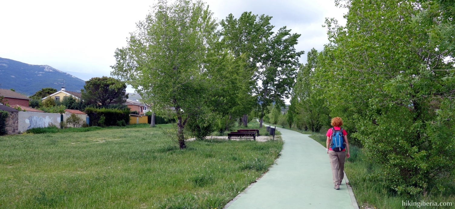
- At the end of this street we turn right (24) and continue a little further until a green bicycle track, where we turn left (25). At the end of this bicycle track (26) we cross the road and follow the last stretch back to the car (1) through a trail that runs parallel to the through road.