NL
NL  IT
IT  DE
DE  ES
ES  EN
EN 
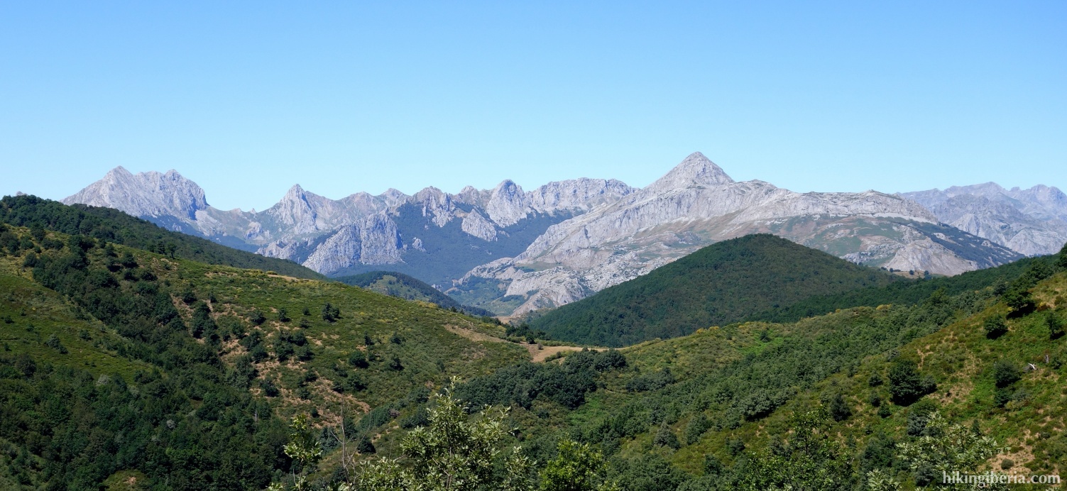
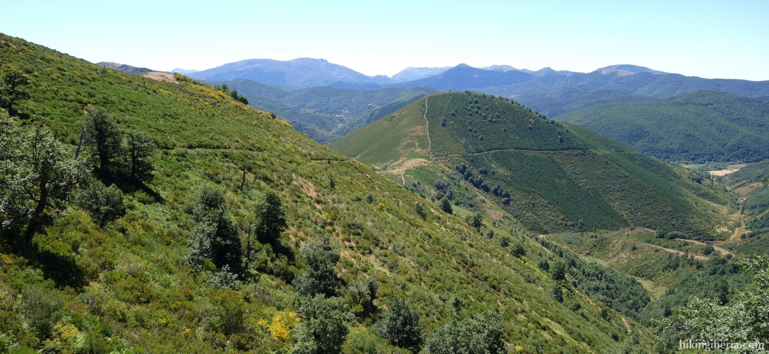
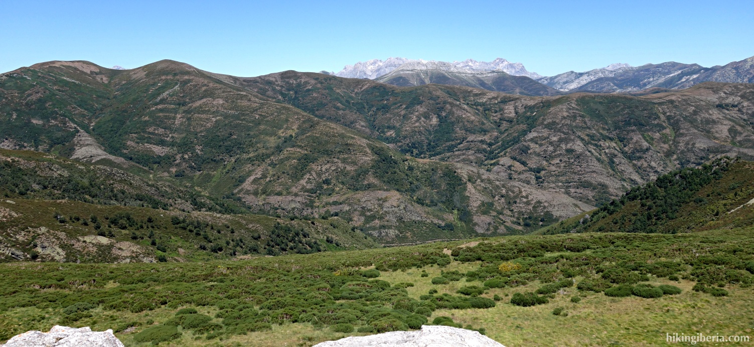
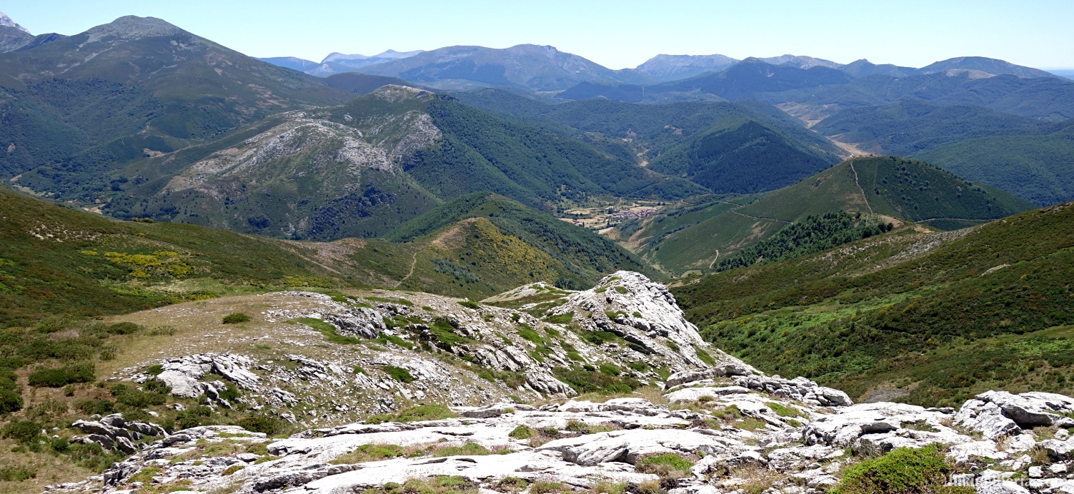
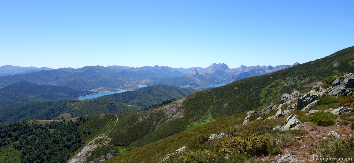
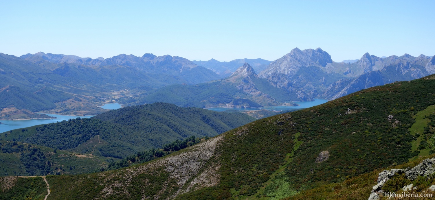
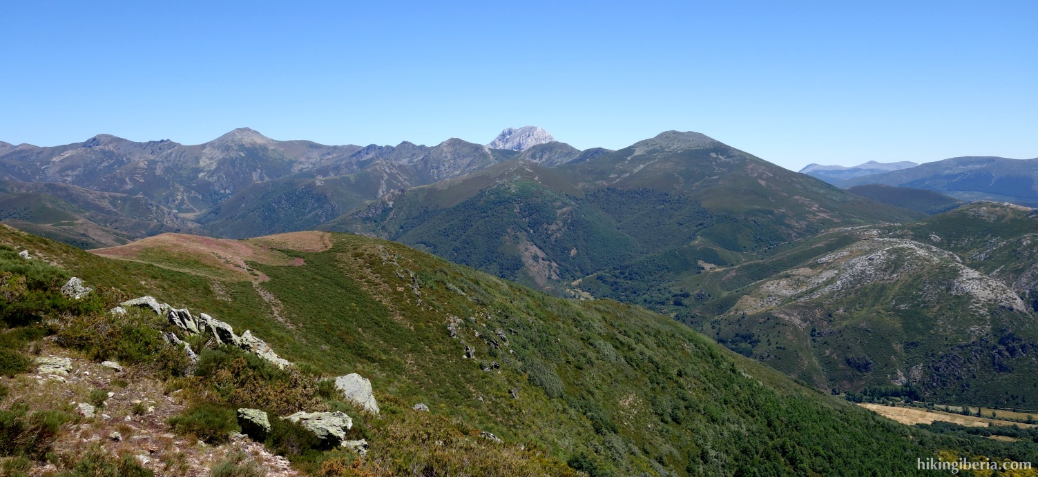
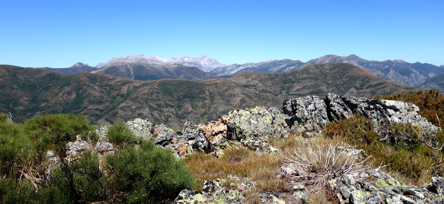
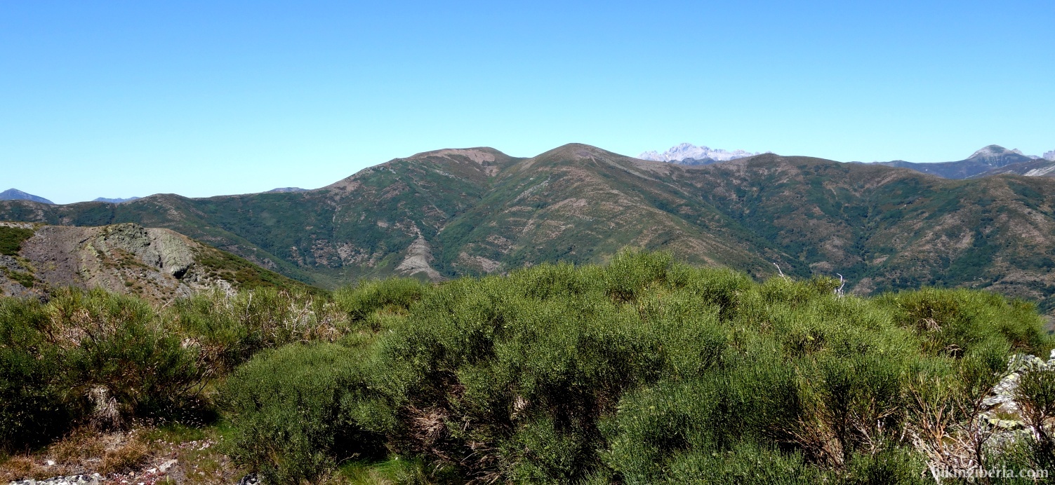
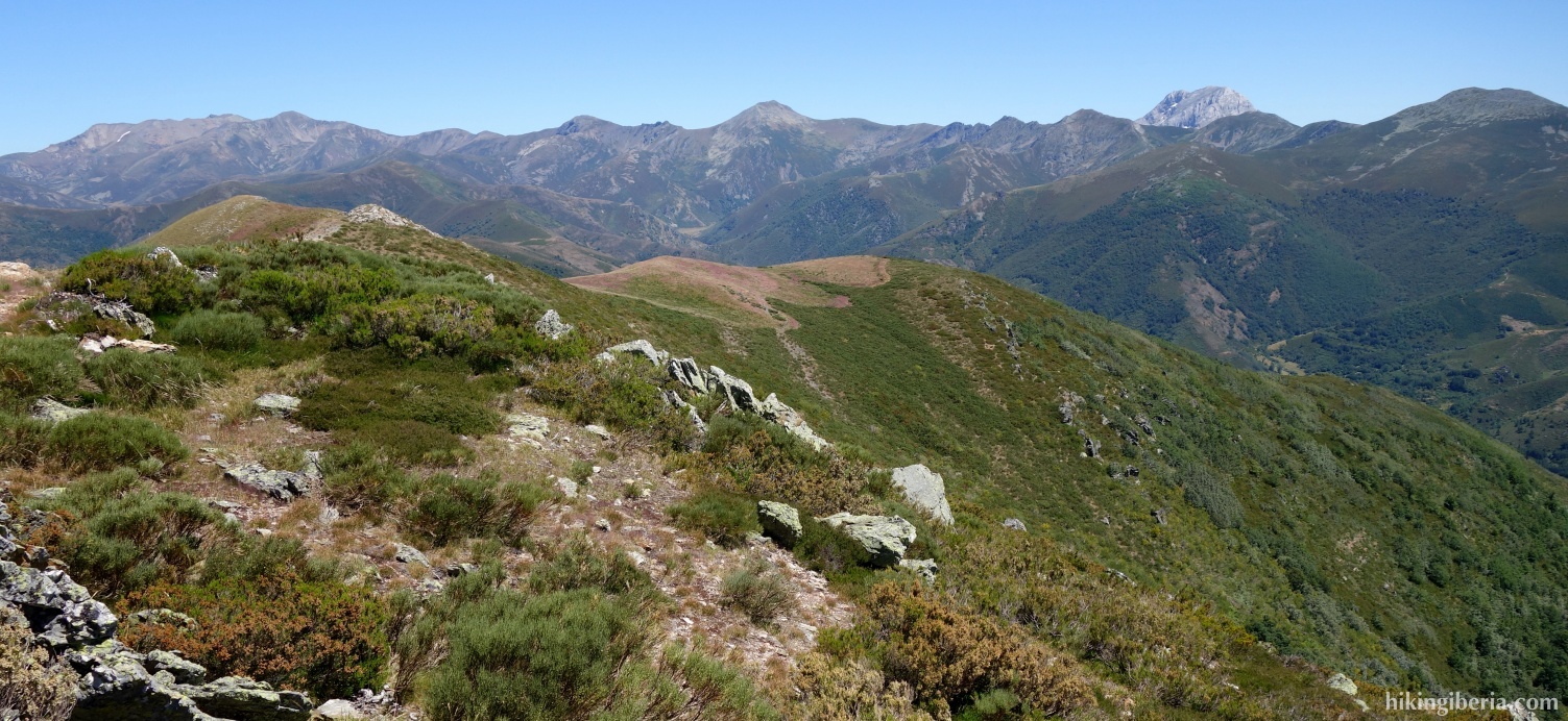
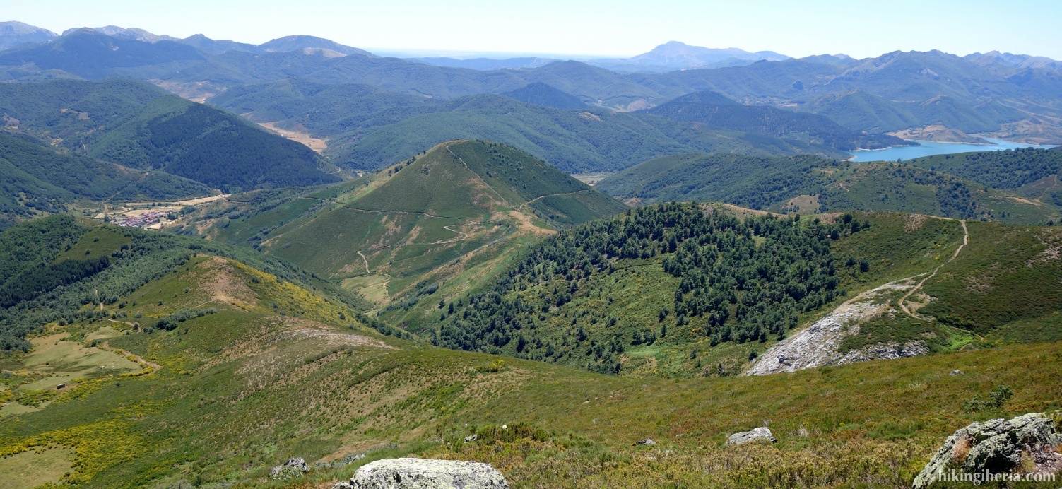
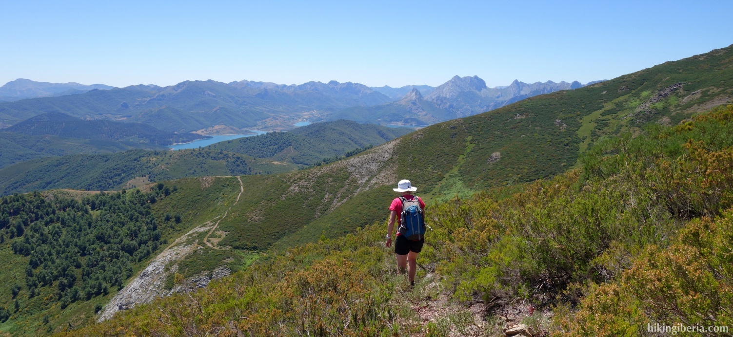
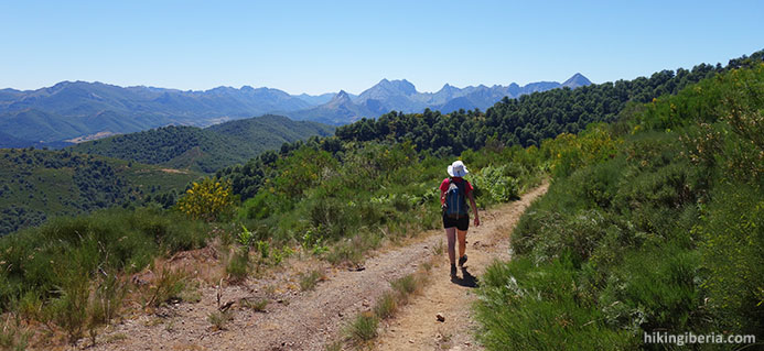
During this hike from Boca de Huérgano we visit a part of the Sierra de Hormás. What makes this hike attractive is that from the ridge on which the Alto de los Cotorros lies, in various directions we have nice views: to the west on the Reservoir of Riaño, to the east on the spectacular mountains of the Fuentes Carrionas and to the north on the Picos de Europa. The hike is at some points a little harder because there is no trail.
- From where we parked the car (1) we walk a little further past the tourist information and behind it turn left onto an asphalt road (2).
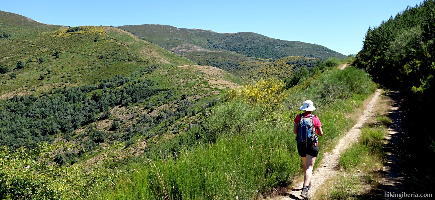
- We pass an ermita and the road becomes unpaved. We ignore a path to the right here (3) and follow the path straight ahead, signposted as "Roblón del Sestil de la Mata".
- After some time we arrive at about 1,350 metres at the Campera Jollampo (4). On the left there is a path to the Roblón del Sestil de la Mata, but we go straight ahead, on a path that runs parallel to the fence.
- This path we follow some time until we reach another path, where at the T-junction (5) we turn right.
- We now descend for a while, eventually take a bend to the left, then immediately go right again and then over a stream. In the bend behind this stream we turn left up the slope (6).
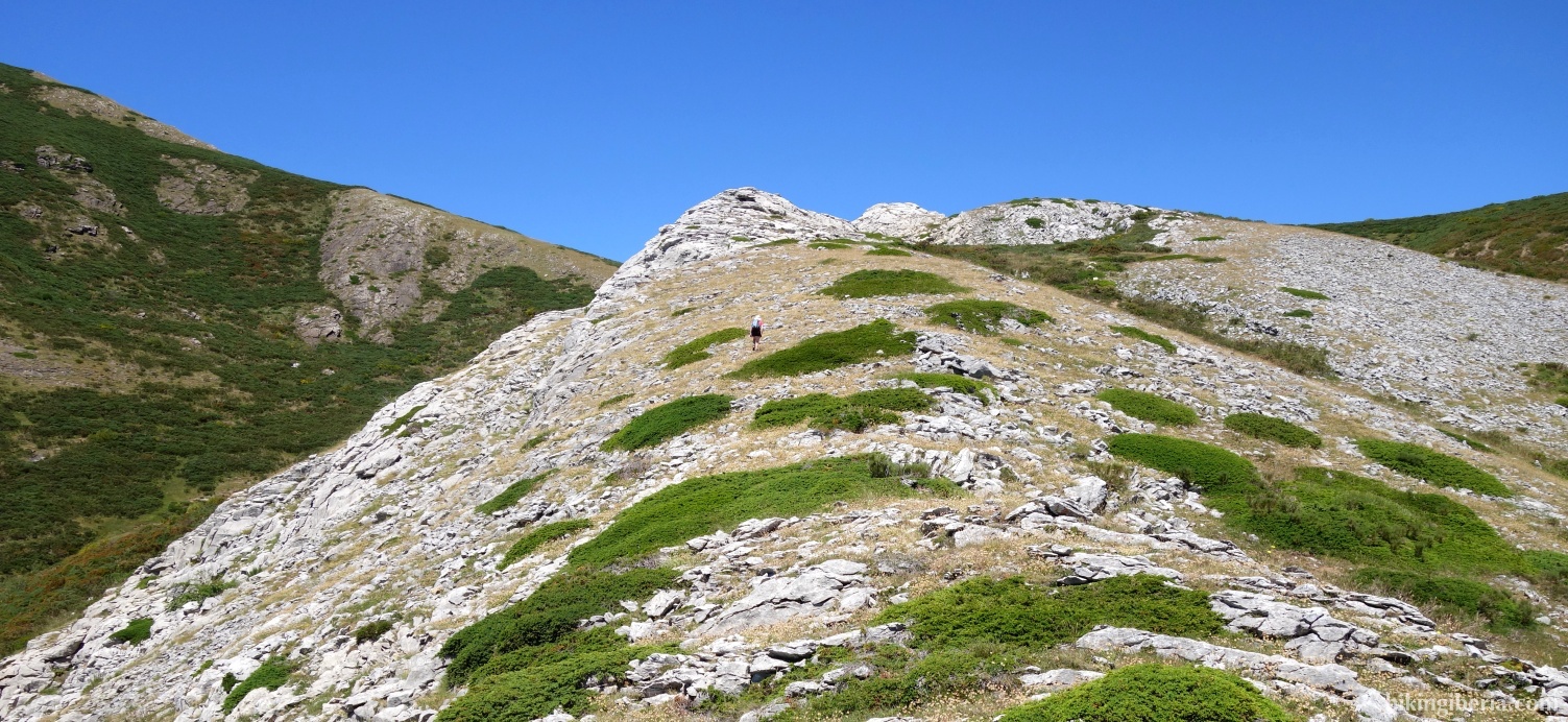
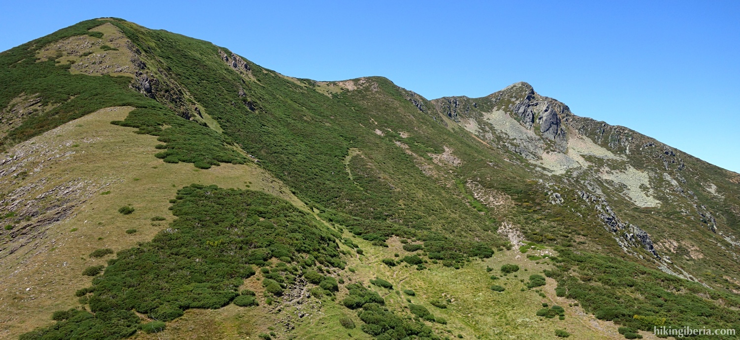
- Occasionally we see something of a trail, but especially higher up the mountain we have to find our way up through the stones and rocks in the direction north/northwest.
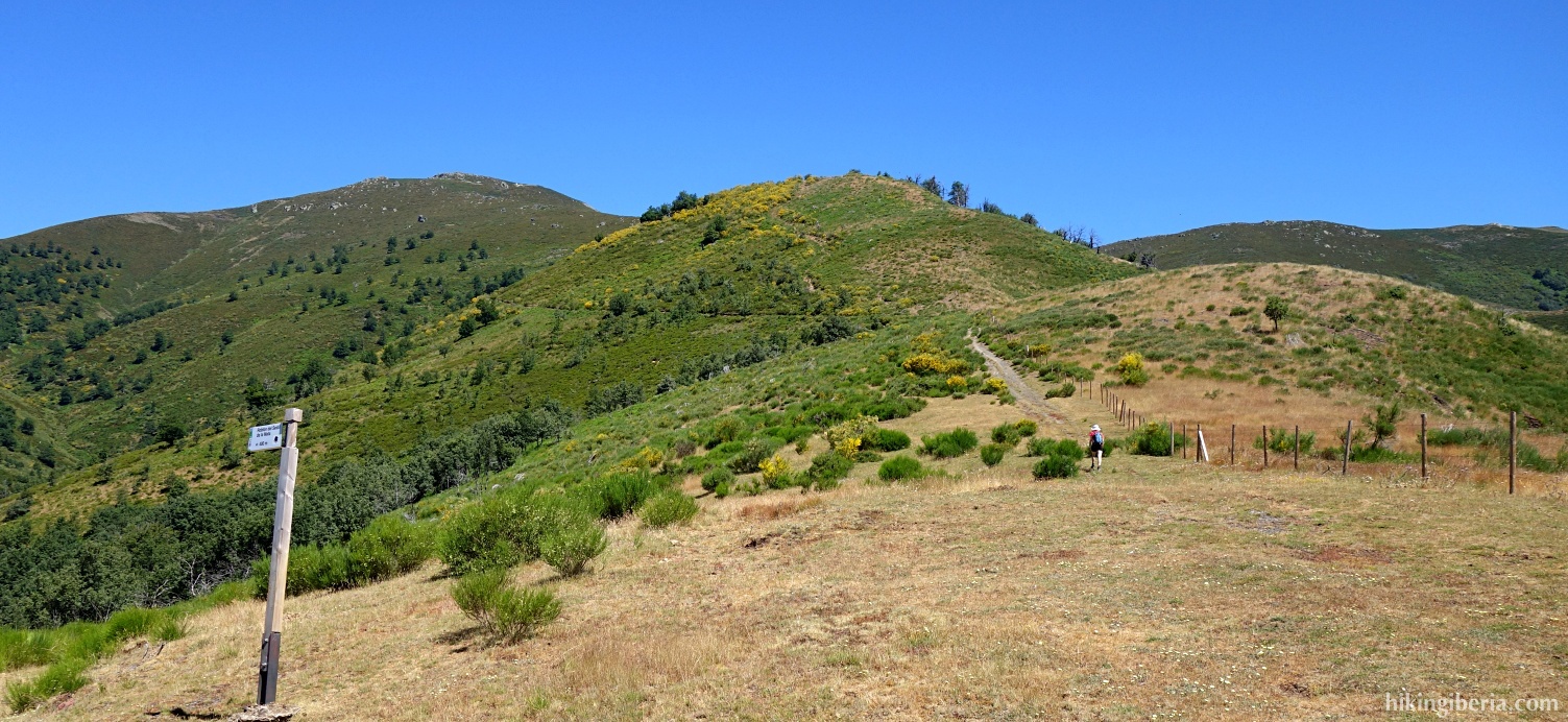
- We arrive at a plateau where we can see a small peak ahead of us, to which we walk and that we finally pass on the right. Ahead of us, we now see a stretch of grass with a clearly discernible path. We descend a few metres, turn left and follow the trail.
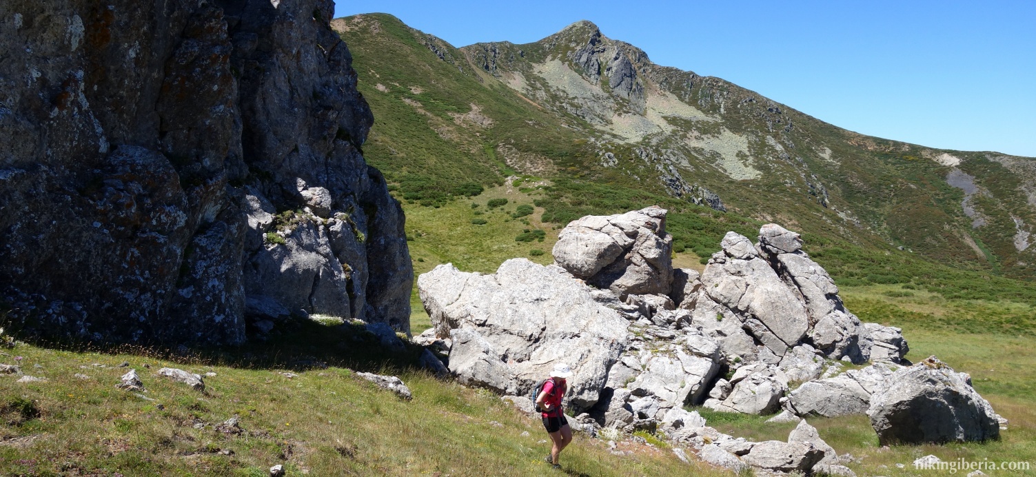
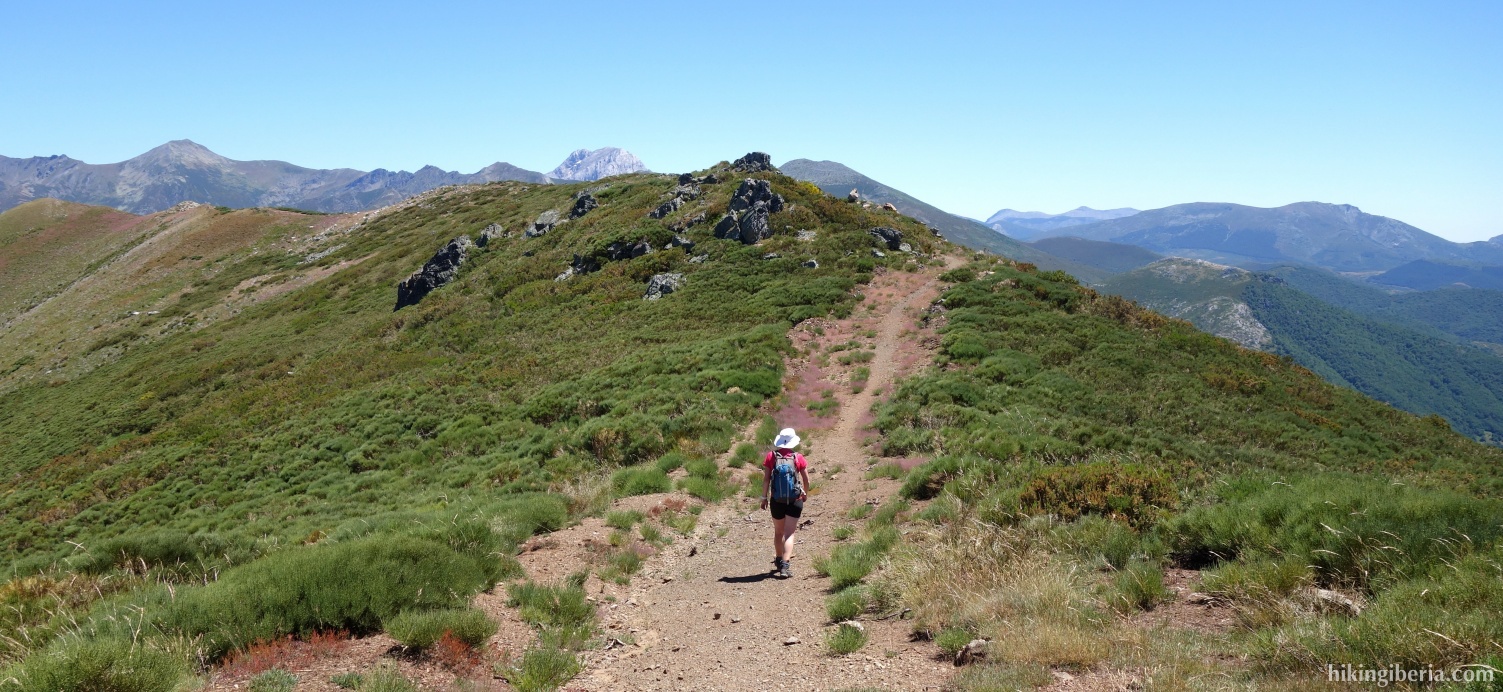
- We can go up on the big rock (7) that stands here. After this rock we descend to the trail again on the ridge, which we follow in an easterly direction. Later we arrive at a broader path over the ridge (8), where we turn right. We follow this path further and eventually arrive at the Alto de los Cotorros (9).
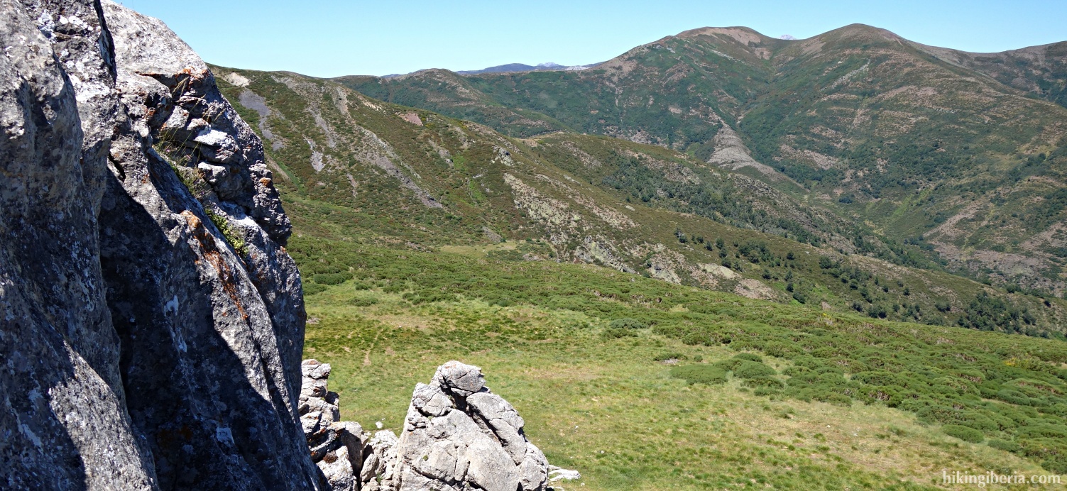
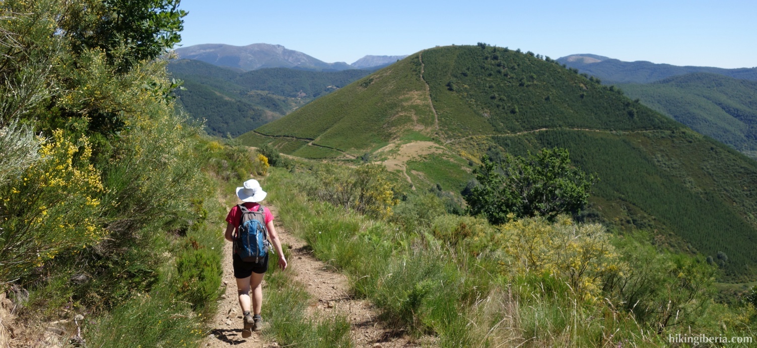
- From the Alto de los Cotorros we go south down the mountain, initially through the bushes without a trail, until further on we find a trail.
- Through this trail we descend towards a hill ahead of us. A little further on we keep left and to our right below we see a path with a hut, which we keep as the direction.
- So we finally arrive at a broad path (11), where we turn right. We walk past the hut, follow the path further and eventually arrive at a fork (12), where we turn right.
- We now ascend some time and eventually arrive at the point where we previously left the path to go up the slope (6). From here we follow the same route back as on the way out.