NL
NL  IT
IT  DE
DE  ES
ES  EN
EN 
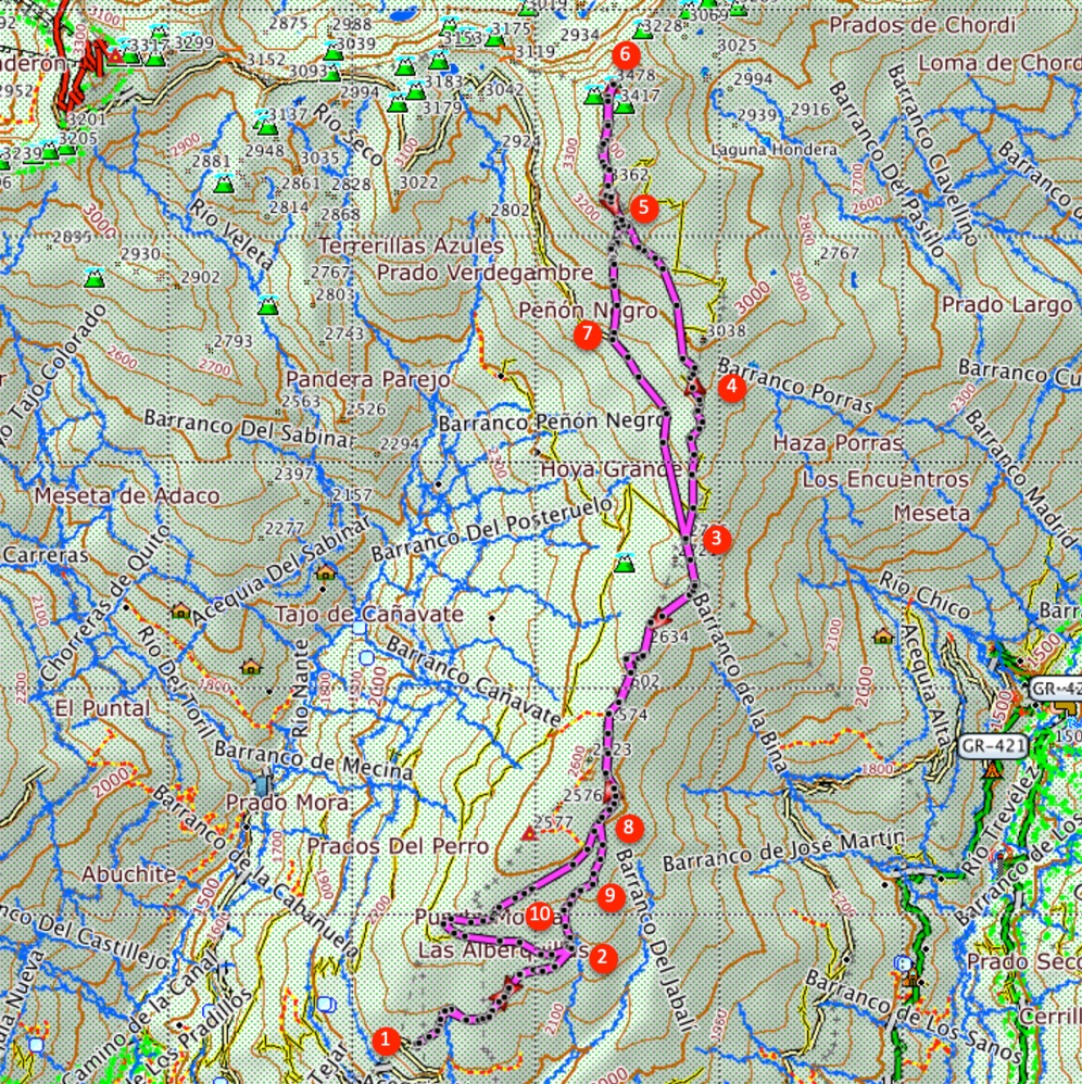
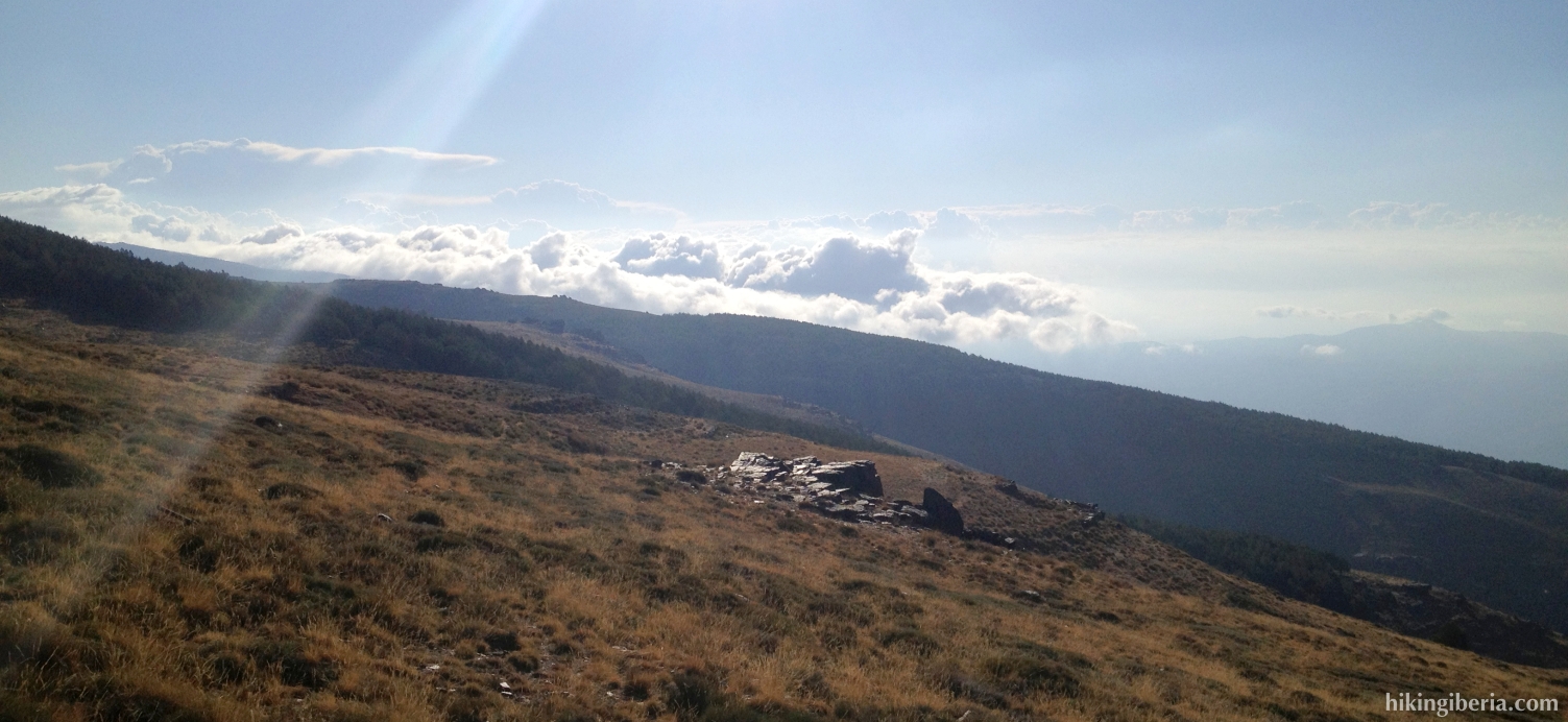
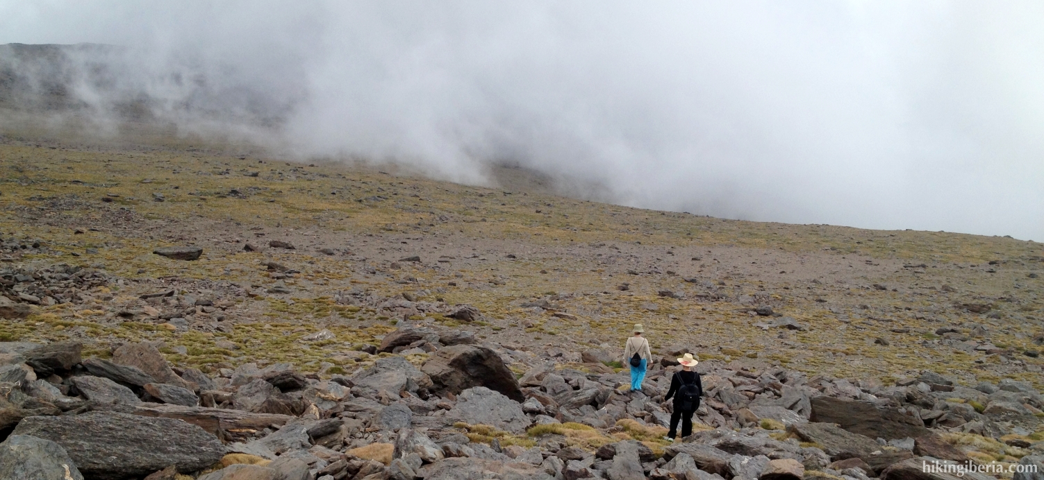
This hike takes us through spectacular high mountain scenery to the Mulhacén, with 3,479 metres the highest summit of the Iberian Peninsula. This variant of the climbing of the Mulhacén starts from the Hoya del Portillo (2,145 m) from where we walk over a dirt road – closed for cars – to the Alto del Chorrillo (2,727 m.). From here we continue with a climb over a smaller and steeper trail, first to the Mulhacen II (3,362 m.) and next to the Mulhacén. Technically the ascent is not difficult, especially when we realize it in summer, clear of snow. Yet, because of the length of the hike, the difference in altitude and the thin air at this high altitude, we have qualified the hike as hard.
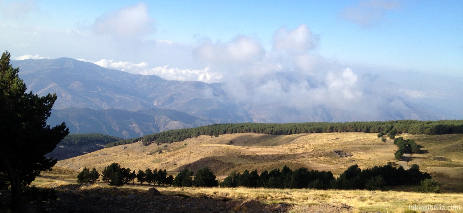
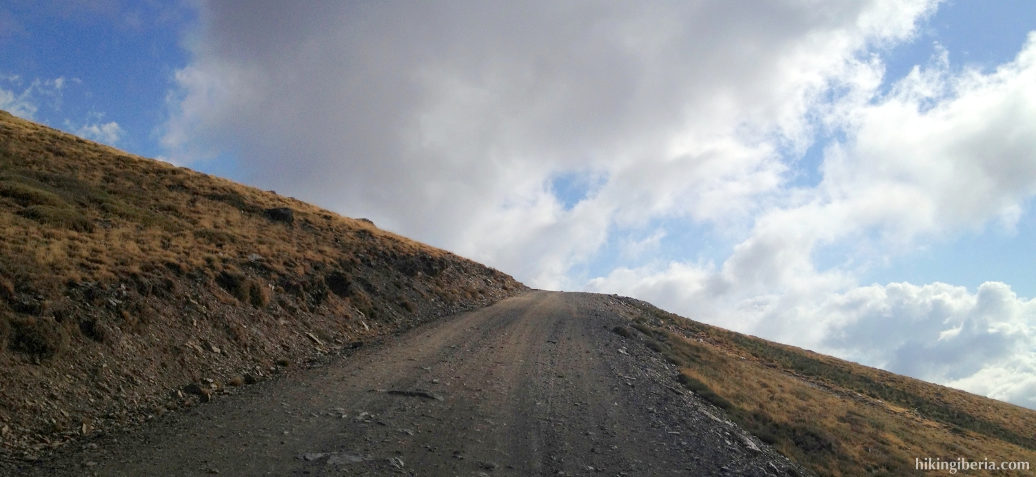

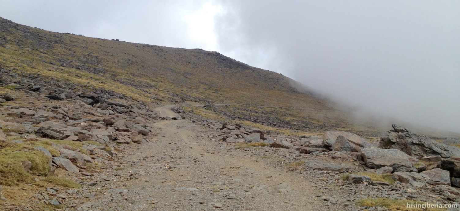
- From the Hoya del Portillo (1) we walk past the barrier and follow during more than 8 kilometres the dirt road that leads to the Alto del Chorrillo . On the way back we will make a shortcut between point (8) and point (2), but on the way out we just keep following the dirt road.
- The Alto del Chorrillo (3) is a small summit of about 2,700 metres just to the left of the road and is the point where the bus from Capileira terminates, which is an option to drastically shorten the hike. Seats in the bus require prior reservation.
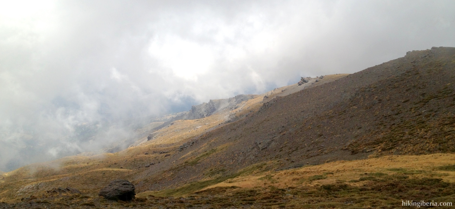
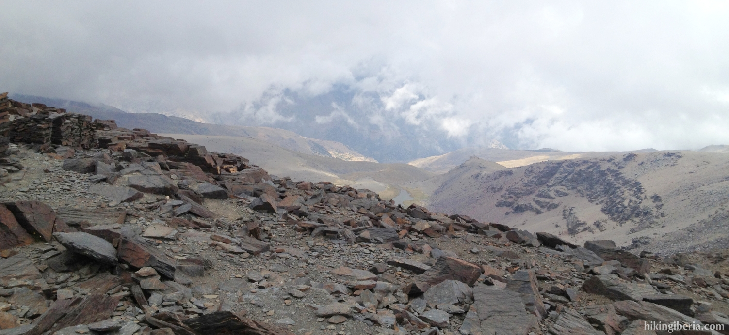
- On the Alto del Chorrillo we see on the left a summit in front of us. Behind it – not visible – lie the Mulhacén II and the Mulhacén. Here the road splits. We take the narrow trail most on the right.
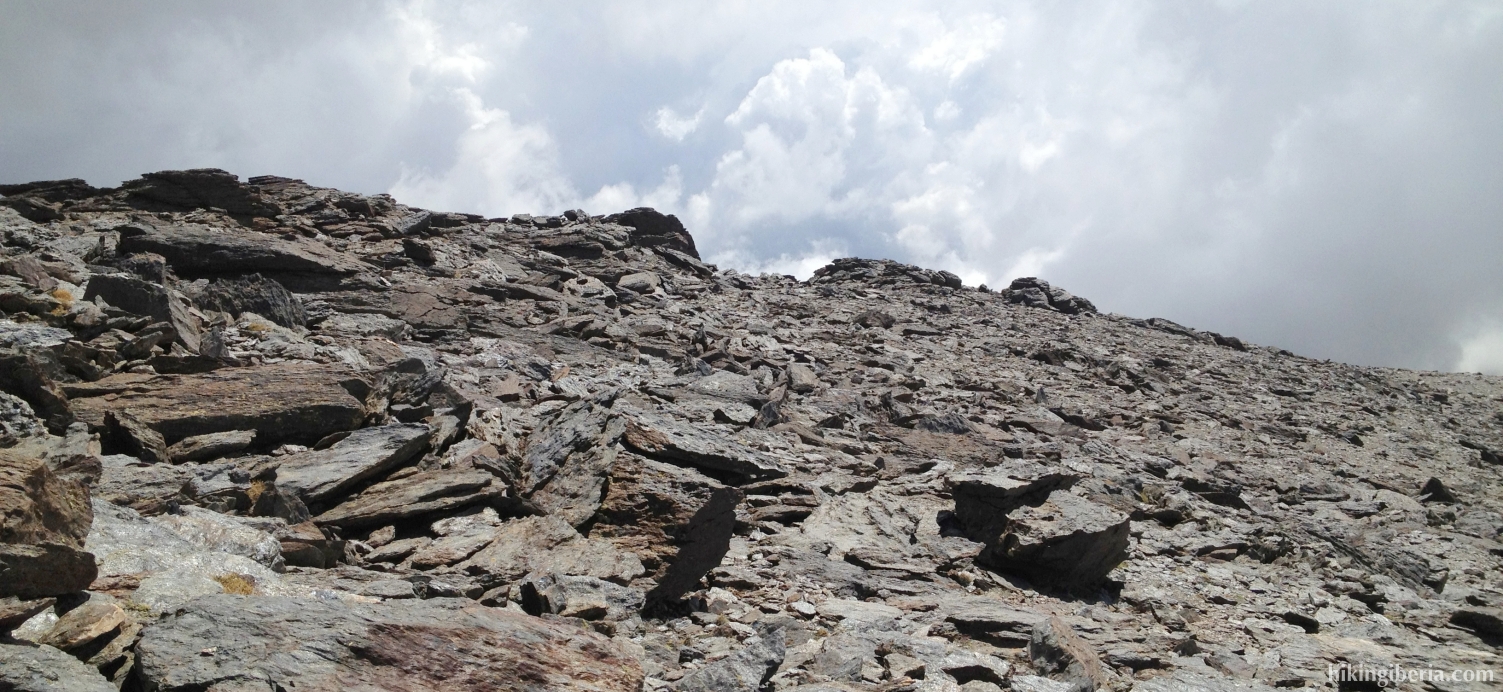
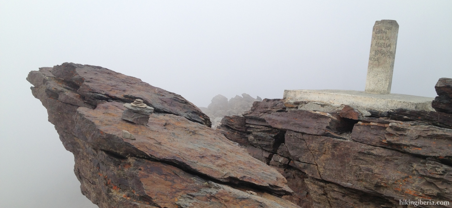
- We follow this trail for quite some time. Further on the trail splits (4). On the right there is the option to walk to the Mulhacén through a wider and longer route, but we go straight on through the steeper and shorter trail. This trail leads us to the first summit with an altitude post, the Mulhacén II (5), which lies at 3,362 metres.
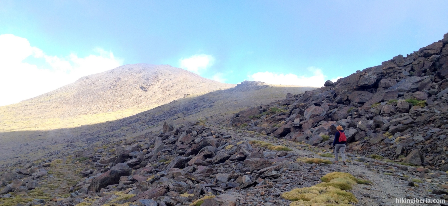
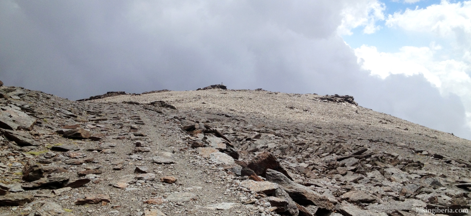
- The last stretch from the Mulhacén II to the Mulhacén (6) is considerably less steep but the thin air clearly plays tricks on us here.
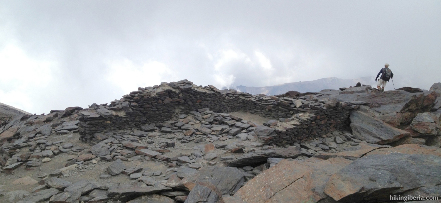
- For the way back we return from the Mulhacén to the Mulhacén II. Here we have to pay attention to walk past the Mulhacén II and thus not fork before; the trail lies behind the Mulhacén II.
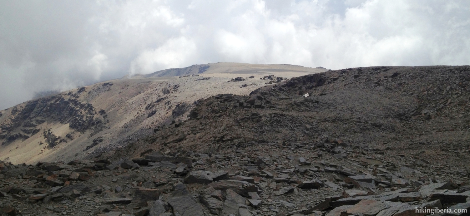
- Back to Alto del Chorrillo as a variant we now follow the trail on the right, which causes a heavy descent. The last stretch does not run over a real trail but goes over the rocks, towards the road that we can clearly observe below in front us. When we reach this road (7) we turn left towards the Alto del Chorrillo (3), from where we follow the same road back as on the way out.
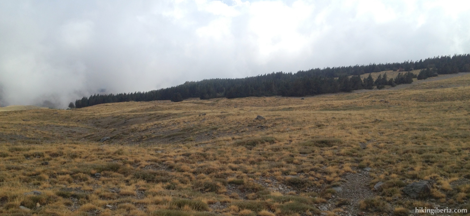
- A couple of kilometres past the Alto del Chorrillo we can make a shortcut (8). This we can do just past a small bridge, where we see the dirt road in front us in a wide bend to the right. On the left there is an open field that we enter and cross in a slanting direction. As orientation we keep a row of pine trees that we can see far on the left in front of us.
- Further on (9) we need to take care to not walk too far to the left, but keep right in order not to walk too far to the east, still taking the trees as our orientation. Once at the corner next to these pine trees (10), we turn left downhill through a wide and sandy path, along the trees. Just before the end of this path we keep right through the trees, via a narrow trail, which brings us to the bend of the dirt road (2) that we earlier left. Here we go left and we follow this road back until the Hoya del Portillo (1).