NL
NL  IT
IT  DE
DE  ES
ES  EN
EN 
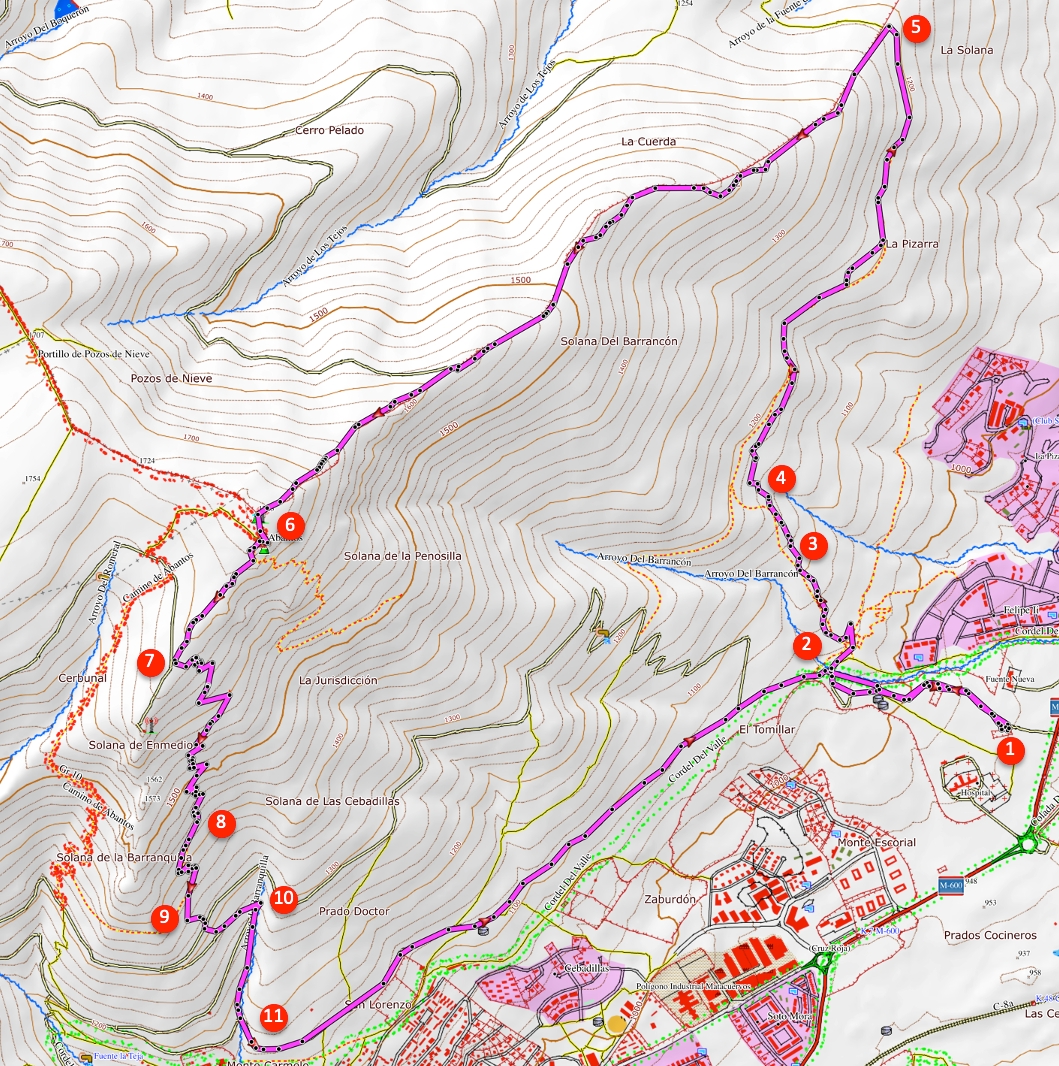
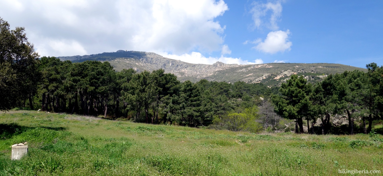
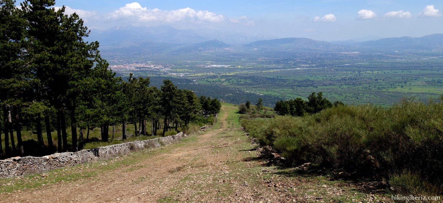
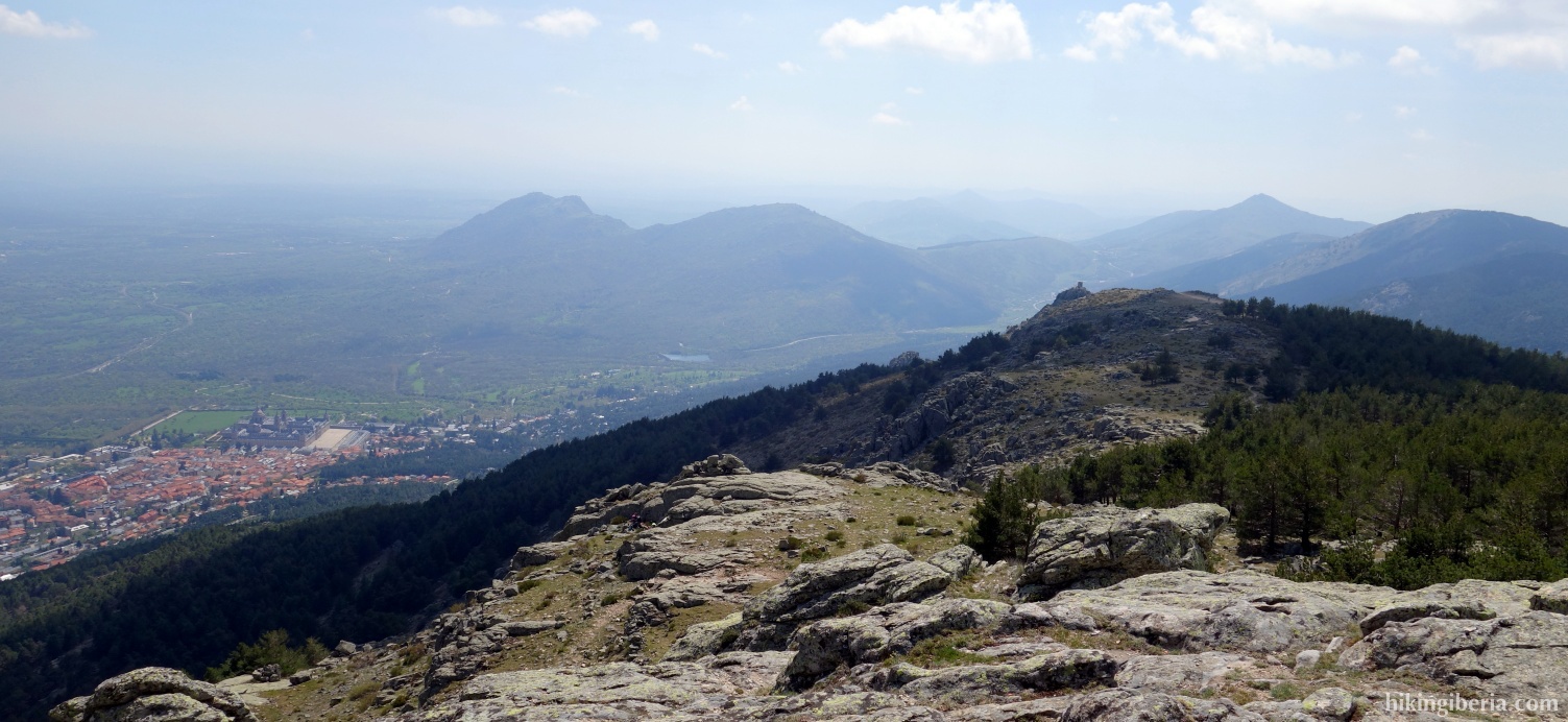
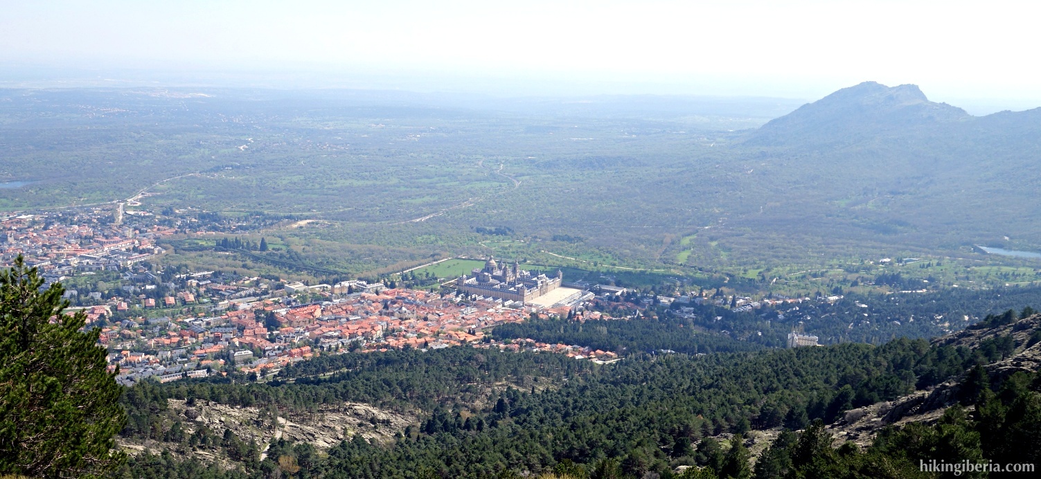
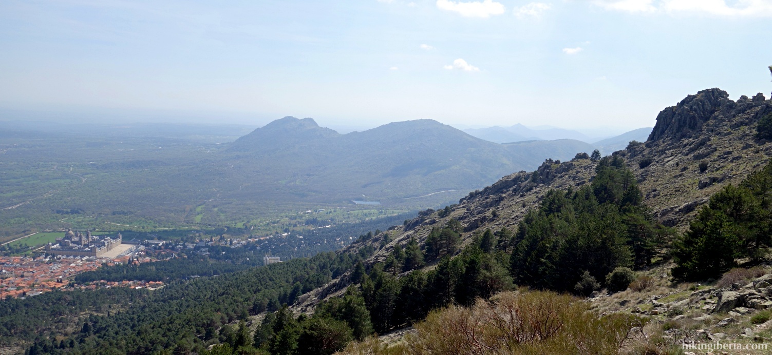
Abantos is one of the most popular peaks in the Sierra de Guadarrama. During this hike we climb the peak from the other side than the typical popular trails. A large part of this hike runs through a relatively steep firebreak at which we span a considerable amount of altitude. From the peak the Abantos we have a beautiful view, among others on the Monastery of San Lorenzo El Escorial.
- From the parking lot (1) we follow the road through which we arrived by car for a while. Further on the road turns a bit to the left and next with a sharp bend to the right. Further on the road again turns to the left with a bend (2); in this bend we turn to the right onto a trail.
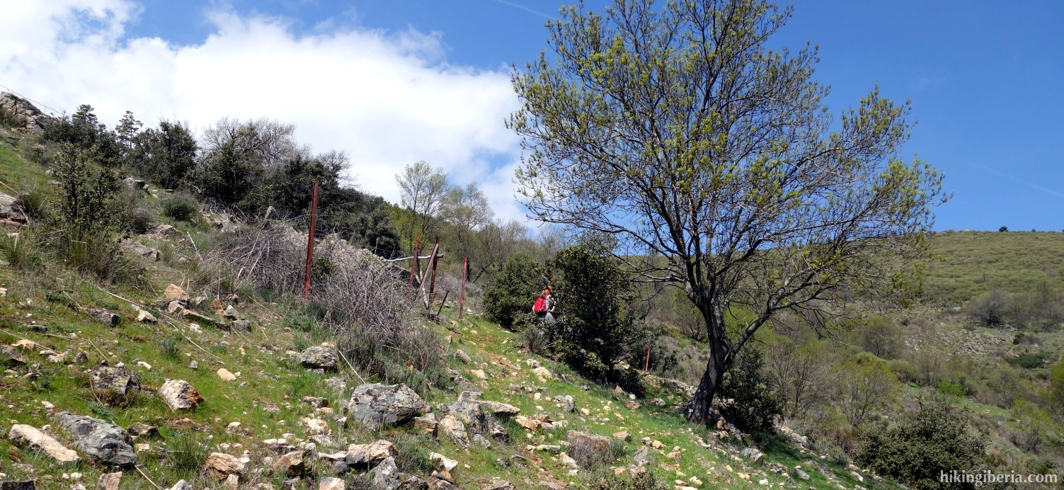
- A bit further on we reach a small wall with a fence; we get through/past it. Behind this wall we keep to the left, initially parallel to the wall but further on keeping right, walking away from this wall.
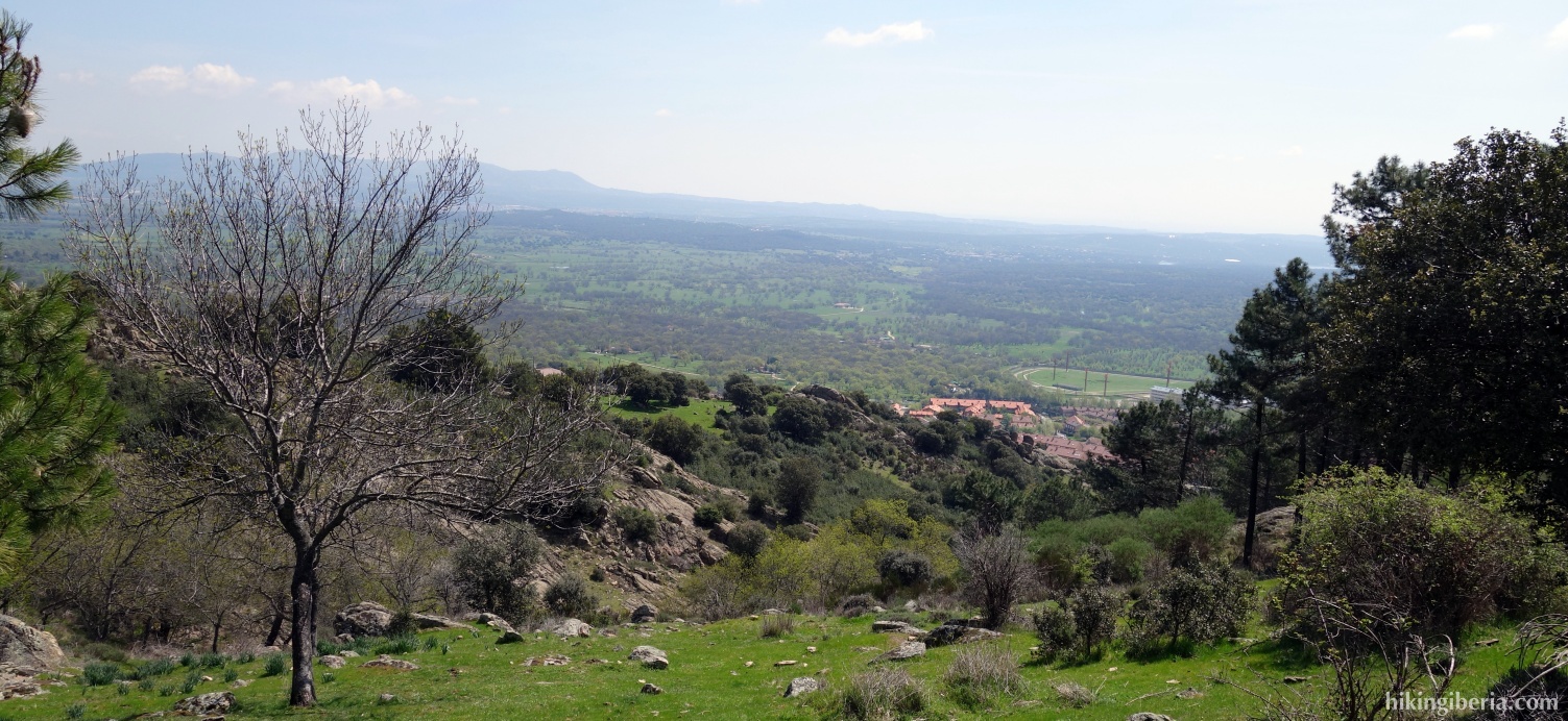
- Here the trail is not very well visibile all the time. Make sure you keep the valley of El Escorial at your right hand and that you slowly ascend slightly diagonally, towards the north. In this way we reach a gauze fence, parallel to which runs a clearly visible trail (3) that we further follow to the north.
- A bit further on we cross a stream (4). At the other side we keep right and move away from the fence for a while. Further on the trail joins the fence again and runs parallel to it. The trail is now clearly visible and further on no longer ascends.
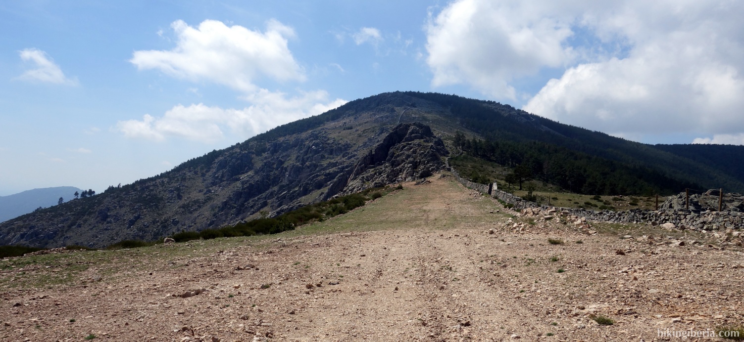
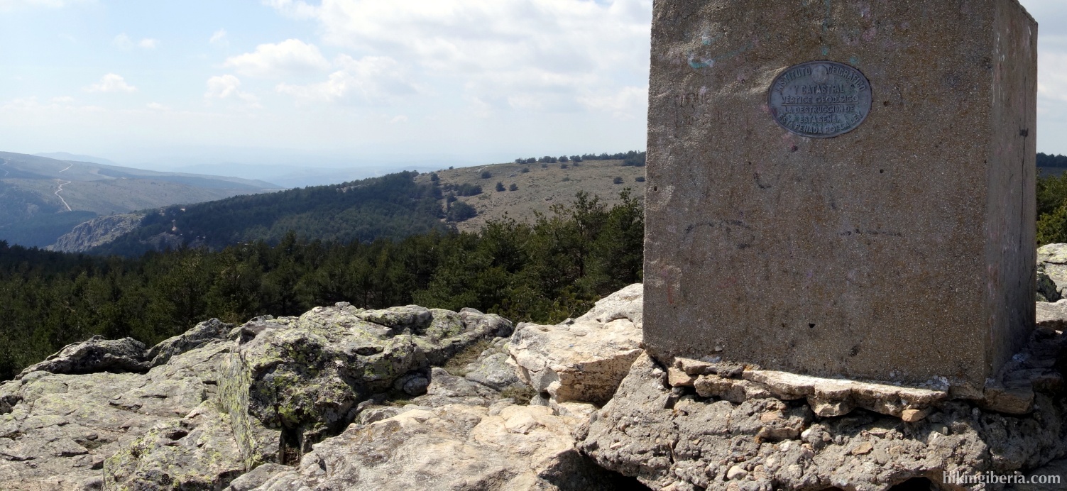
- After quite a while, just above 1,200 metres, the trails ends at a firebreak, next to a small wall (5), where behind the gate we turn left. From here we follow the firebreak which in various stretches runs along a small brick wall. After a heavy ascent eventually we see the Abantos in front of us on the left side. First, where possible, we climb over the wall, to continue the trail on the right side of the wall. Once we get close to the Abantos we climb over the wall again and walk to the top (6).
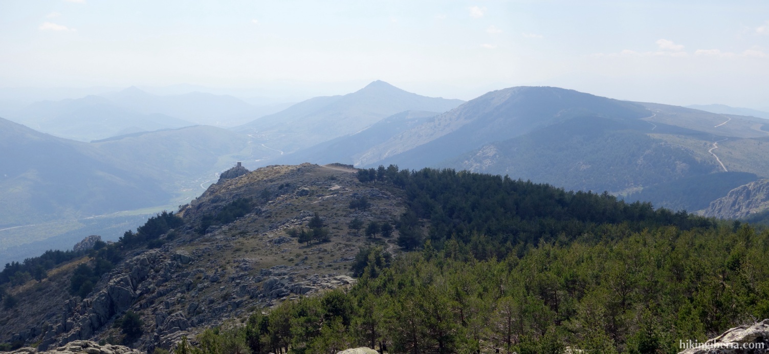
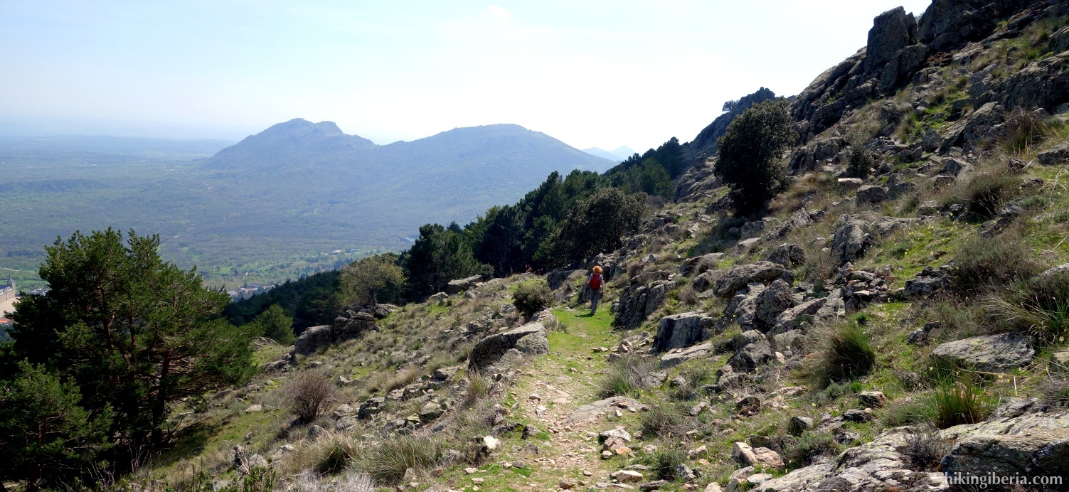
- From the top we do not take the GR-10 which continues straight on, but turn left instead. Via this trail we reach a dirt road (7). Still before the dirt road turn left (marked with a ribbon) and directly after if turn left again onto a narrow trail, which is marked with milestones and takes us downhill zigzagging.
- We reach a junction (8) where we turn right. After a while we can see a dirt road below us. Ascend to it via a passage between the trees (9). Once we reach this dirt road we can see an asphalt road below in front of us. Again take a passage between the trees towards it.
- At this asphalt road turn left. Where the road turns to the right in a bend (10) we leave the road onto a trail that runs parallel to the stream Arroyo de Barranquilla. We follow this trail to its very end until we reach the asphalt road again (11). Now turn left and follow this road all the way back to the car (1).