NL
NL  IT
IT  DE
DE  ES
ES  EN
EN 
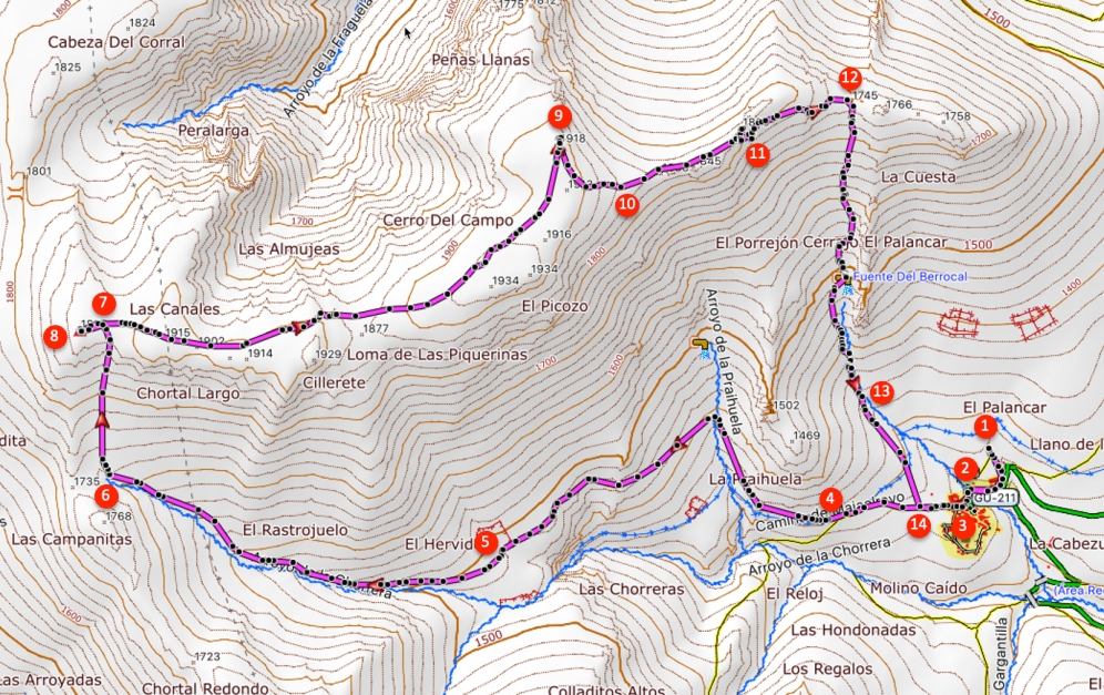
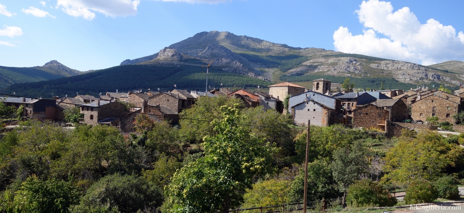
Valverde de los Arroyos is a popular starting point to climb the Ocejón, but on this hike we visit two other peaks of the Sierra de Ayllón: Campachuelo and Campo. The surroundings of these summits is a particularly barren landscape of slate on a broad ridge. The majority of the hike takes place through comfortable paths, but the final descent from the Collado Messao Valverde goes without path through overgrown terrain and large boulders, which makes the hike much more difficult.
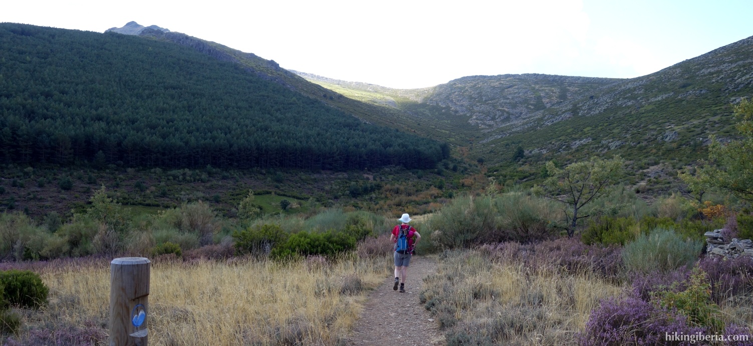


- From the parking (1) we walk downhill and then enter the village. At the junction of two streets we keep right (2) and at the end of this street we go right which makes us arrive at the Plaza de María Cristina (3).
- From the square we walk straight on and go past the football field and see the first white-red mark. We follow the trail for a while until a fork of trails where we turn right, uphill (4), following the white-red marking, among others in the direction of Ocejón.
- Just below 1,500 metres of altitude we arrive at a fork where we turn right (5), towards Majaelrayo.
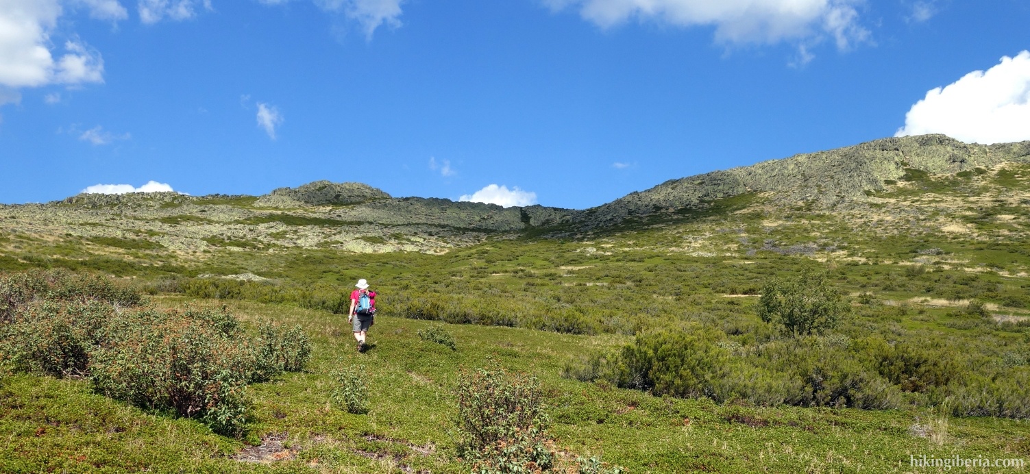
- We follow his path, on which we keep ascending, for about half an hour until at just above 1,700 metres, at a post with still white-red marking, we turn right onto a narrow trail and thus leave the white-red marking (6) .
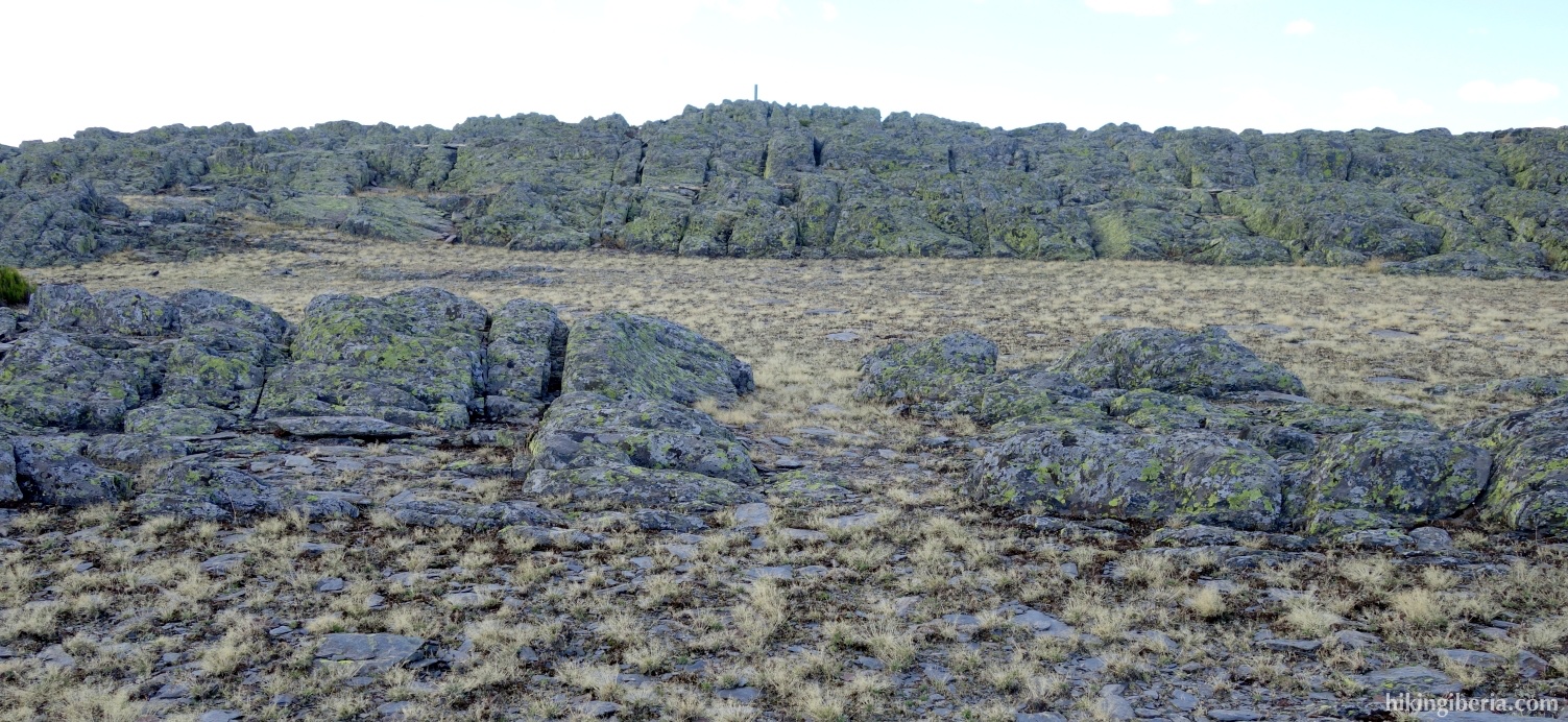
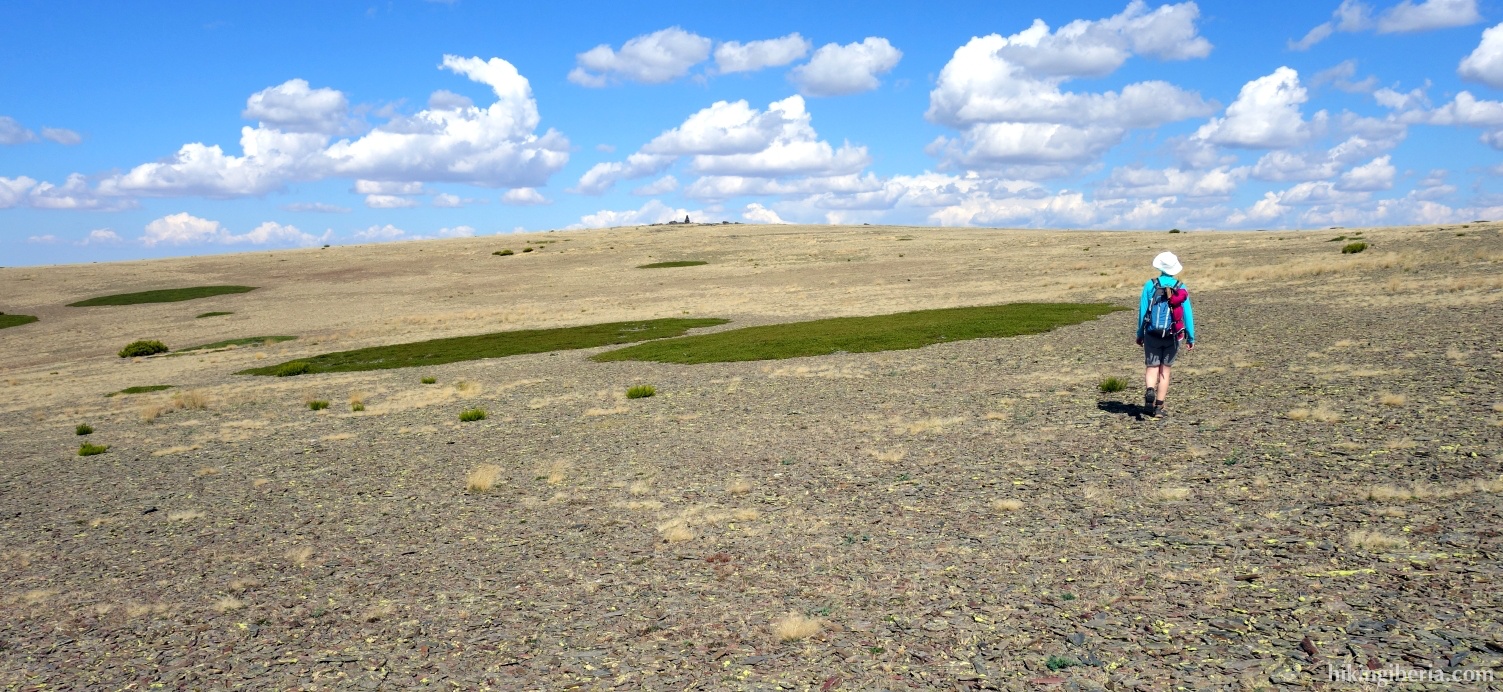
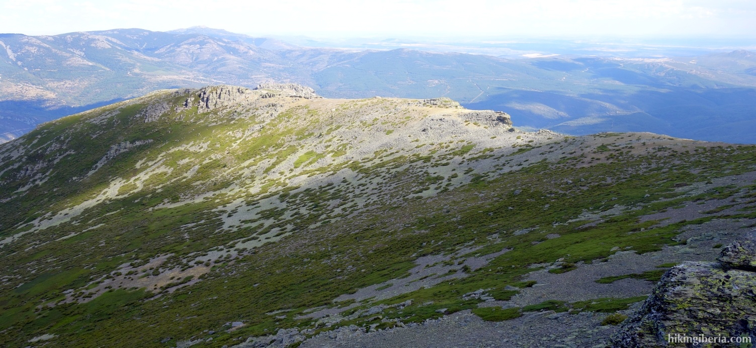
- In front of us, we see a rock face towards which we walk. On the last stretch we walk through a not clearly discernible path through the slate, until we reach the ridge (7). Here we go a bit left to go to the peak of the Campachuelo (8).
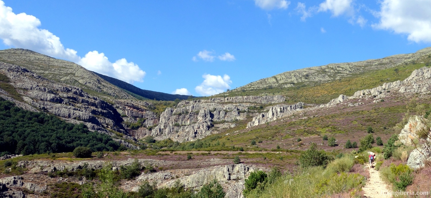
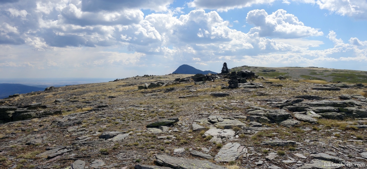
- From Campachuelo we go back and we continue the route over this broad ridge, where the route is not to be missed. Further on the path turns away to the left and then we see the pole of the peak of the Campo ahead of us.
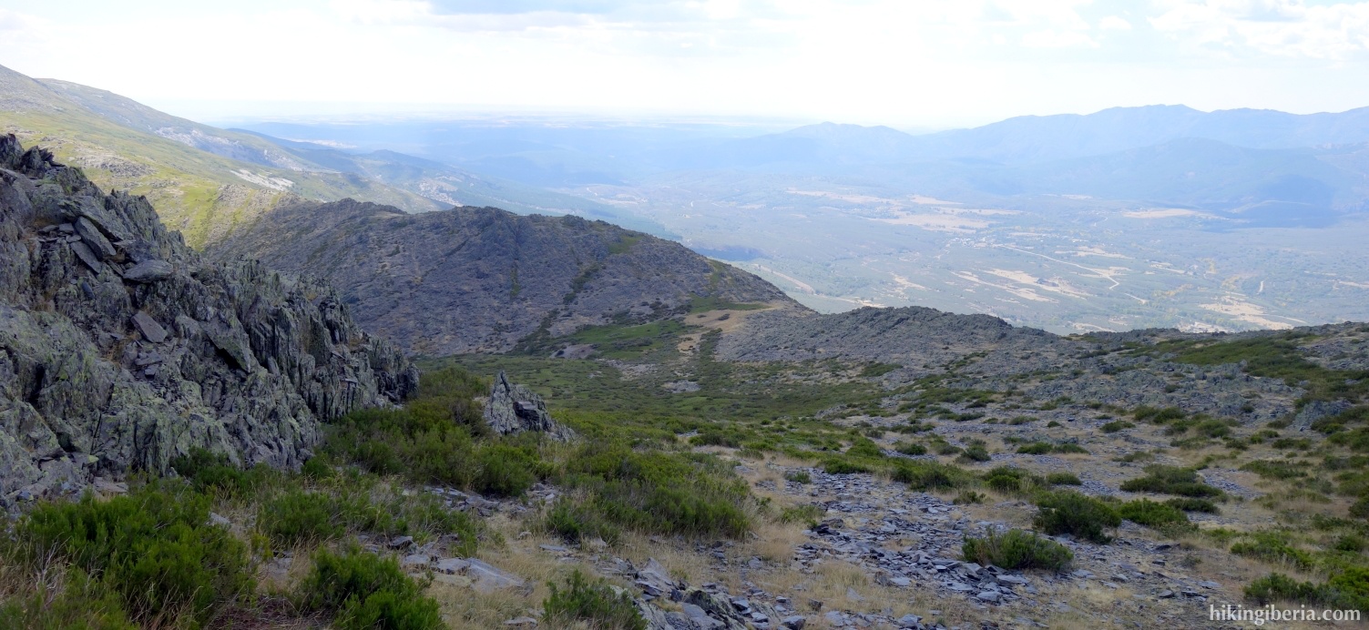
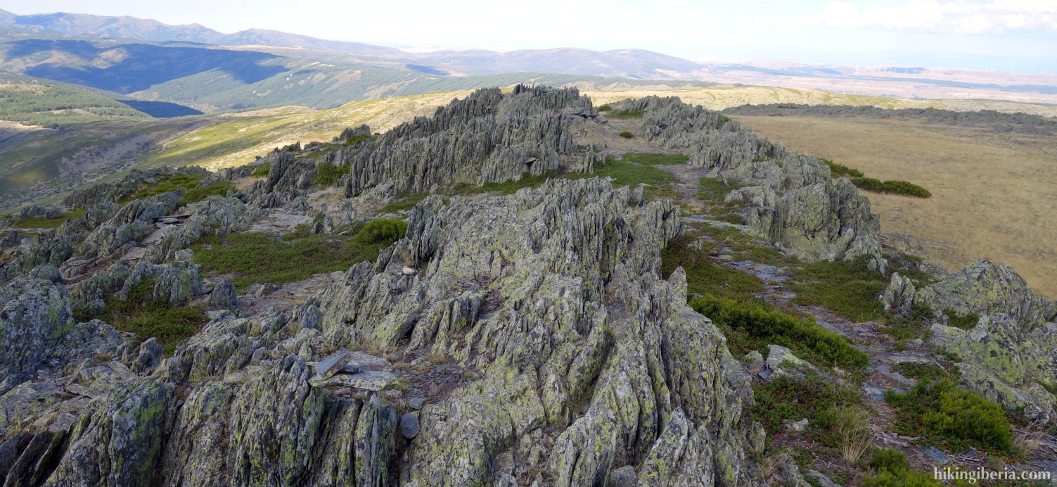
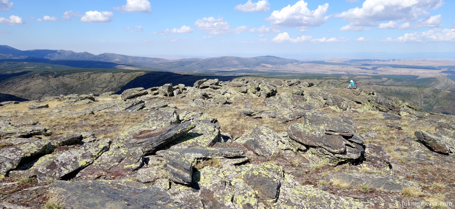
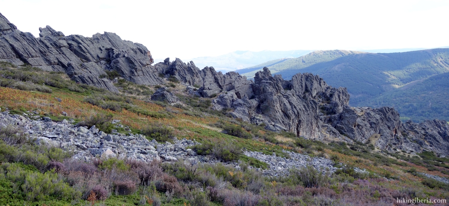
- From the Campo (9) we walk a little bit back and we see a rocky ridge to our left to which we descend (10). There is no very clear path here, but as our direction we simply take the course of the ridge.
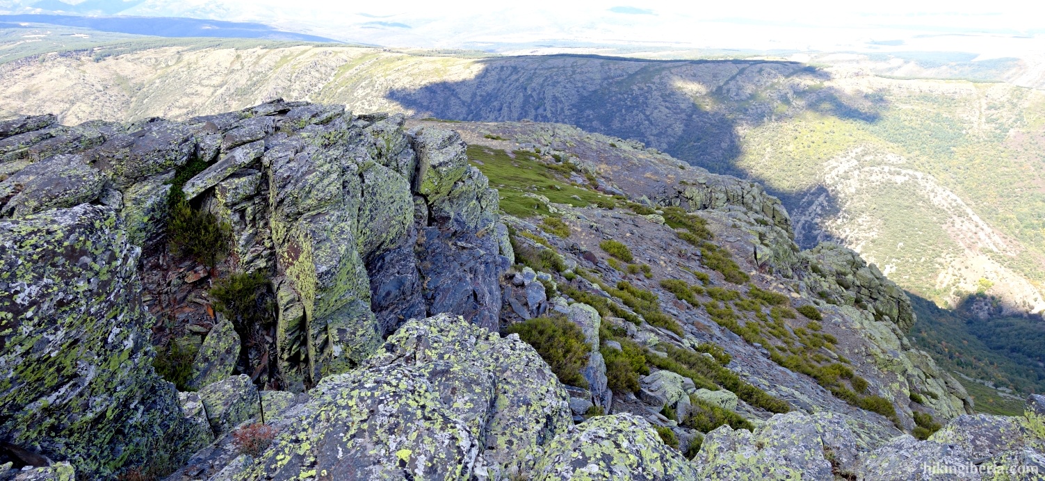
- Where further away the ridge becomes more rugged we make sure that we remain at the bottom right of the ridge (11) where the path is sometimes difficult to find. Make sure you do not descend too much here and walk towards the pass that you see ahead of you.
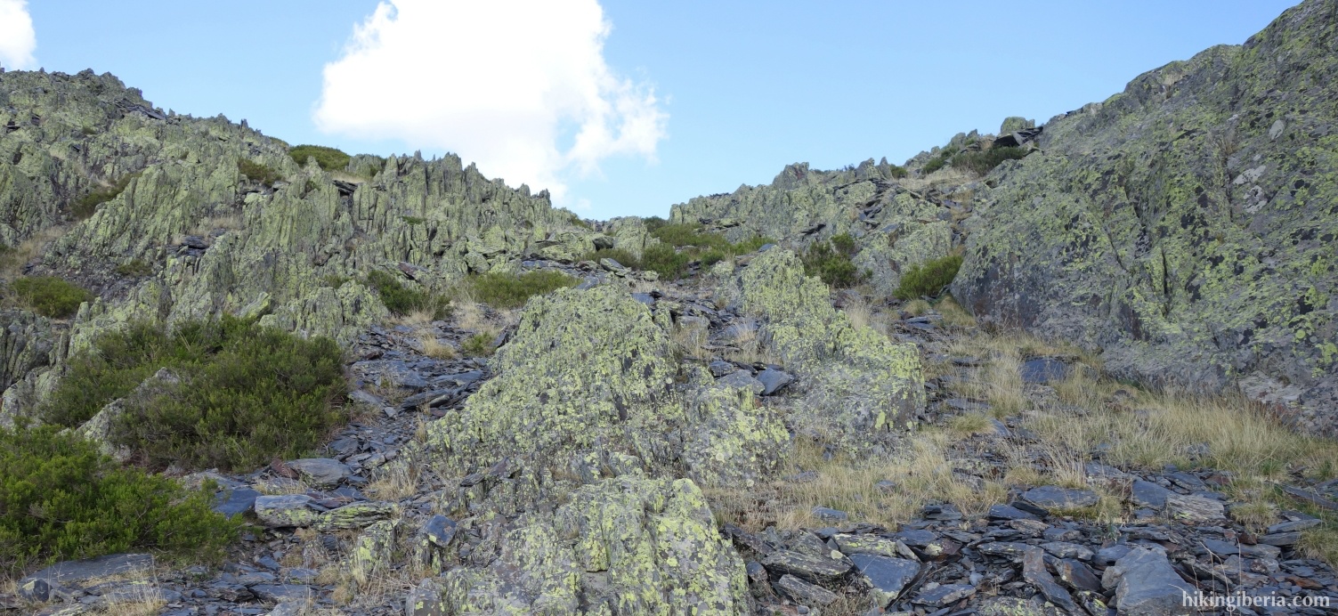
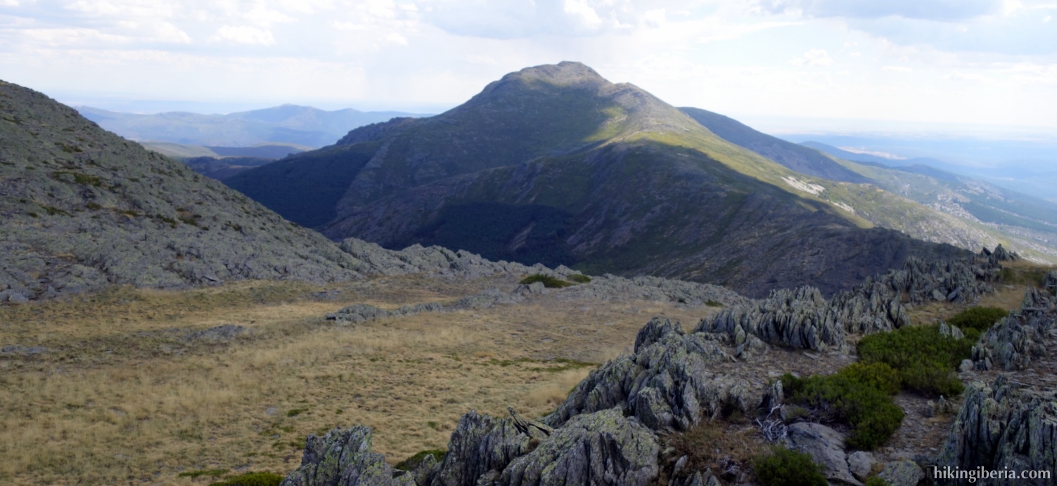
- Once on the pass Collado Mesao (12), turn right, downhill.
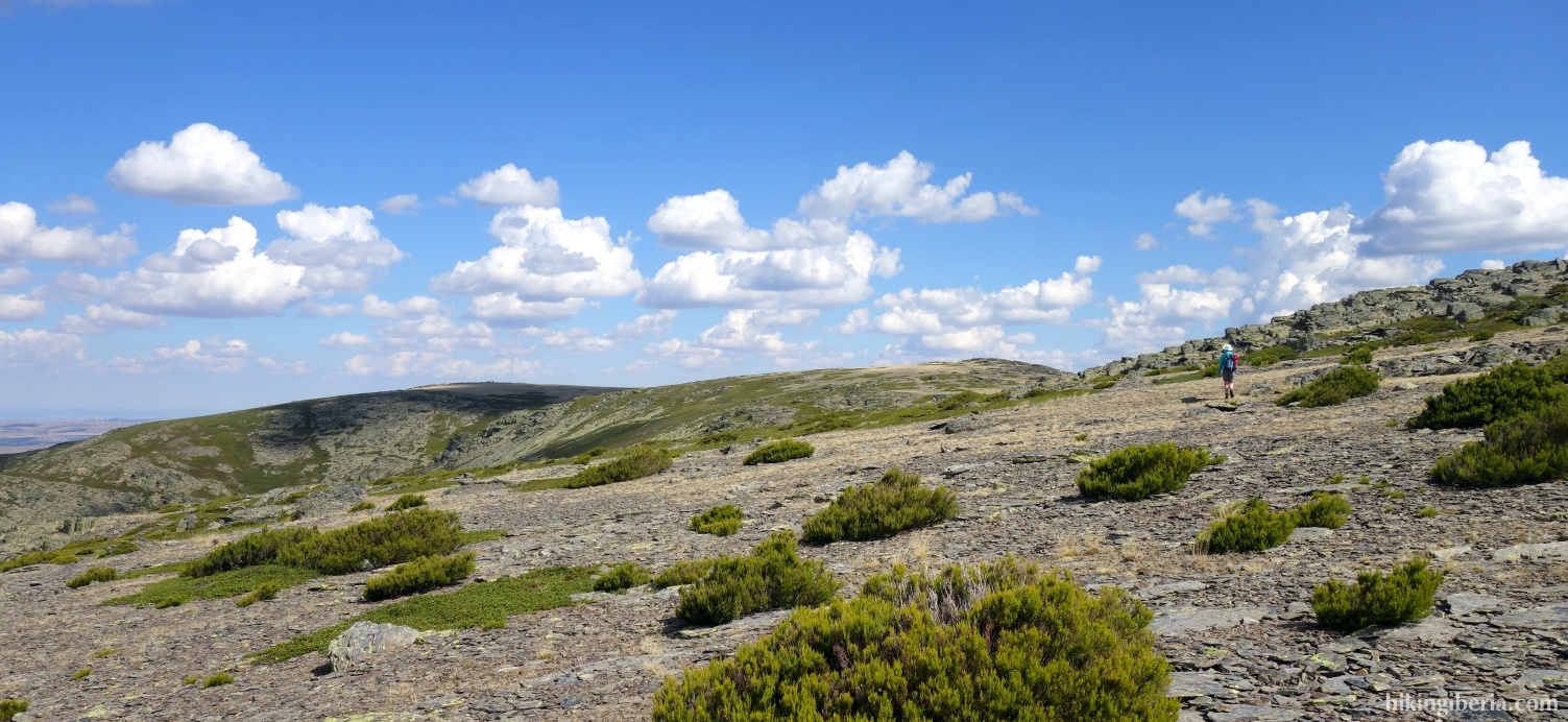
- The first stretch of the descent is not very difficult, but especially the middle part is pretty overgrown and on the last stretch we need to walk via large boulders, which makes it all a somewhat tedious descent. Eventually, after a descent of about 400 metres from the pass, we reach a wide path (13), where we turn right.
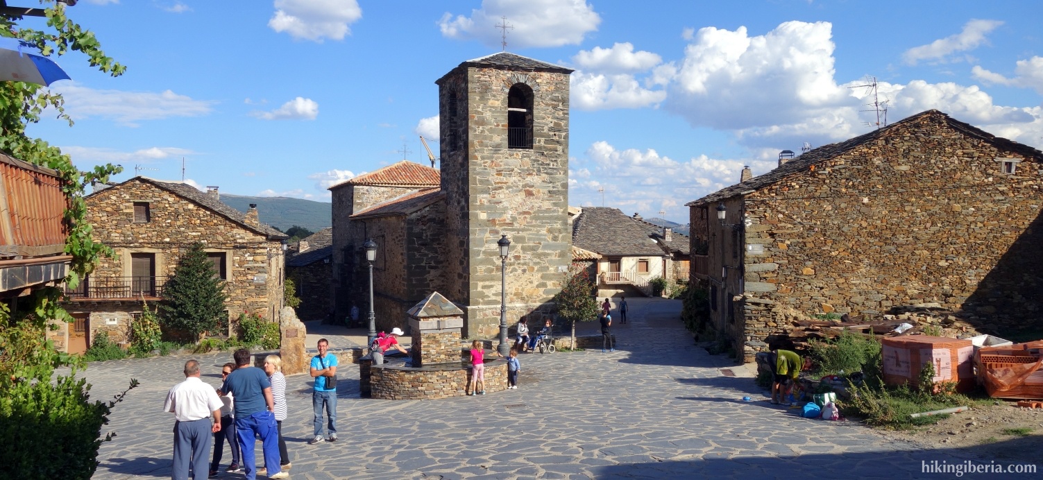
- We arrive at a narrower path where we turn left and soon we reach the soccer field of Valverde de los Arroyos (14), where of course we turn left and through the village walk back to the parking (1).