NL
NL  IT
IT  DE
DE  ES
ES  EN
EN 
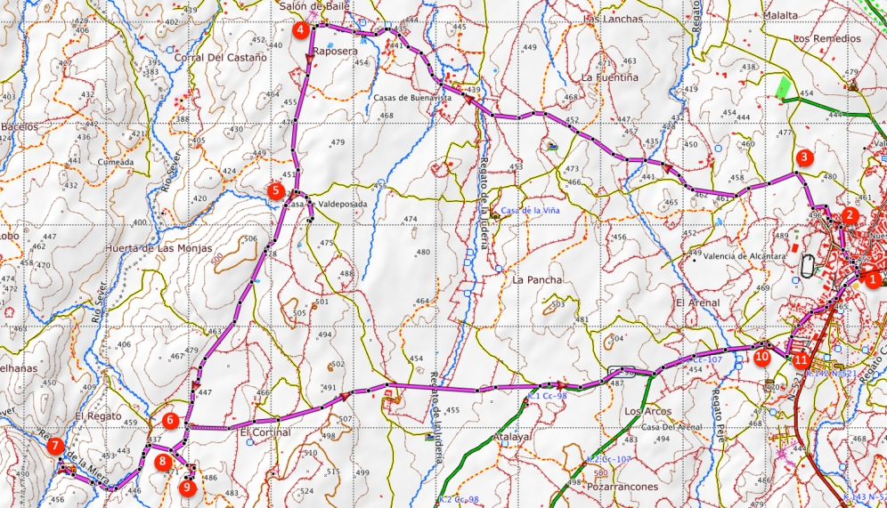
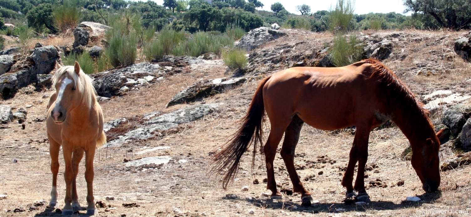
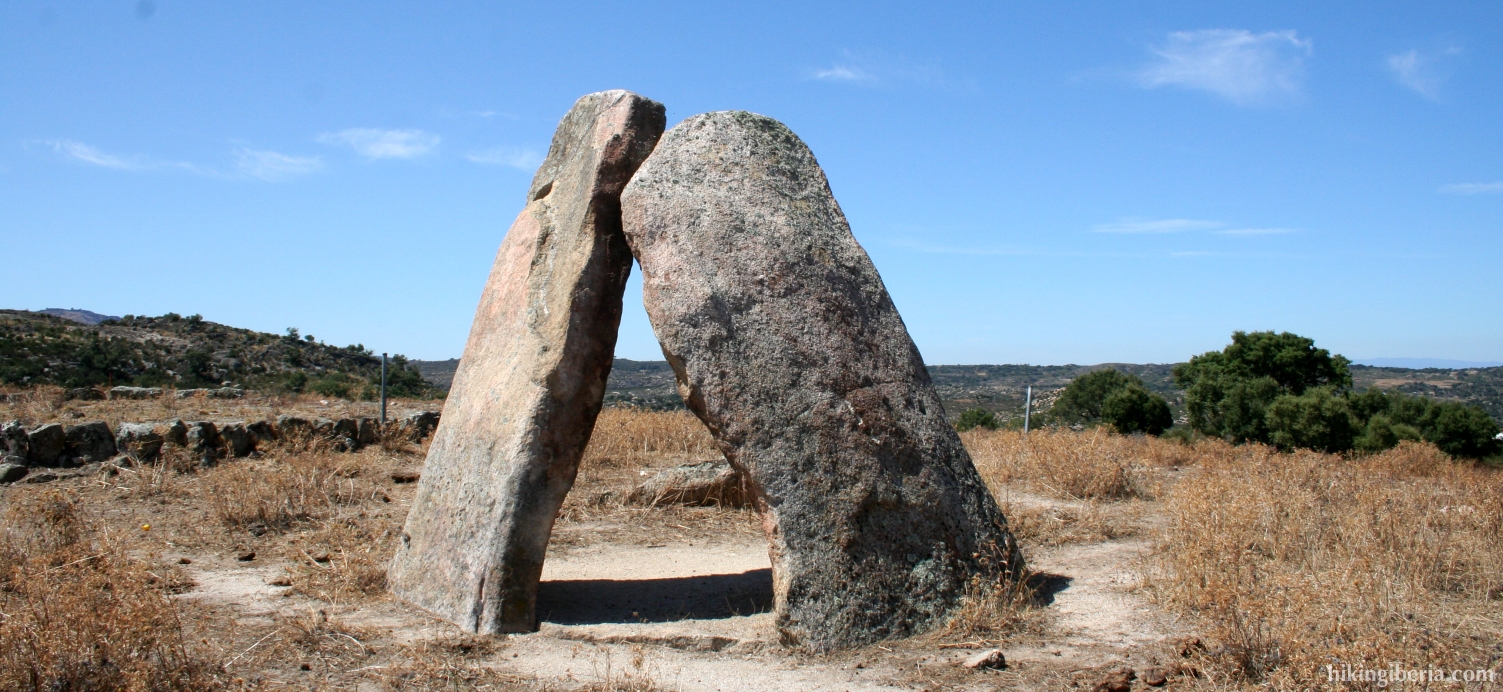
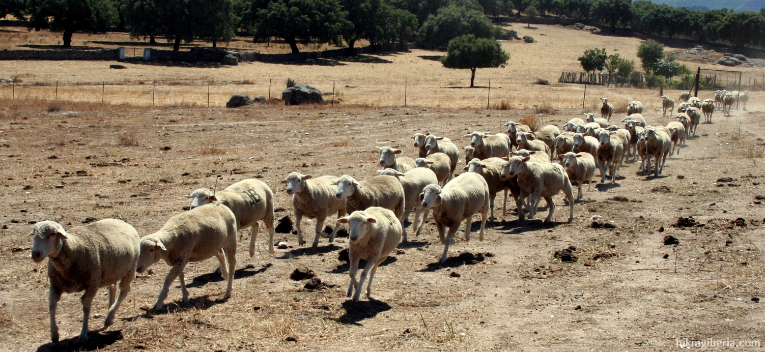
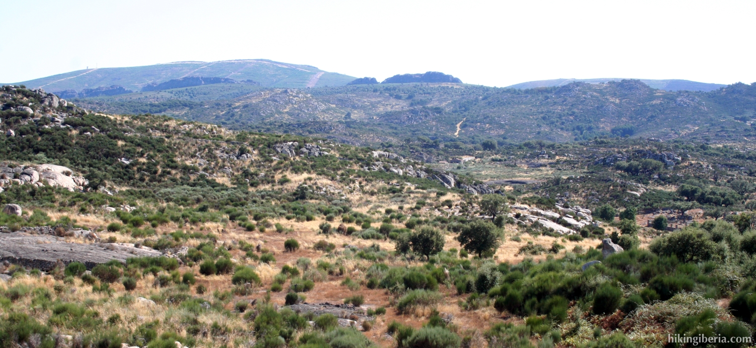
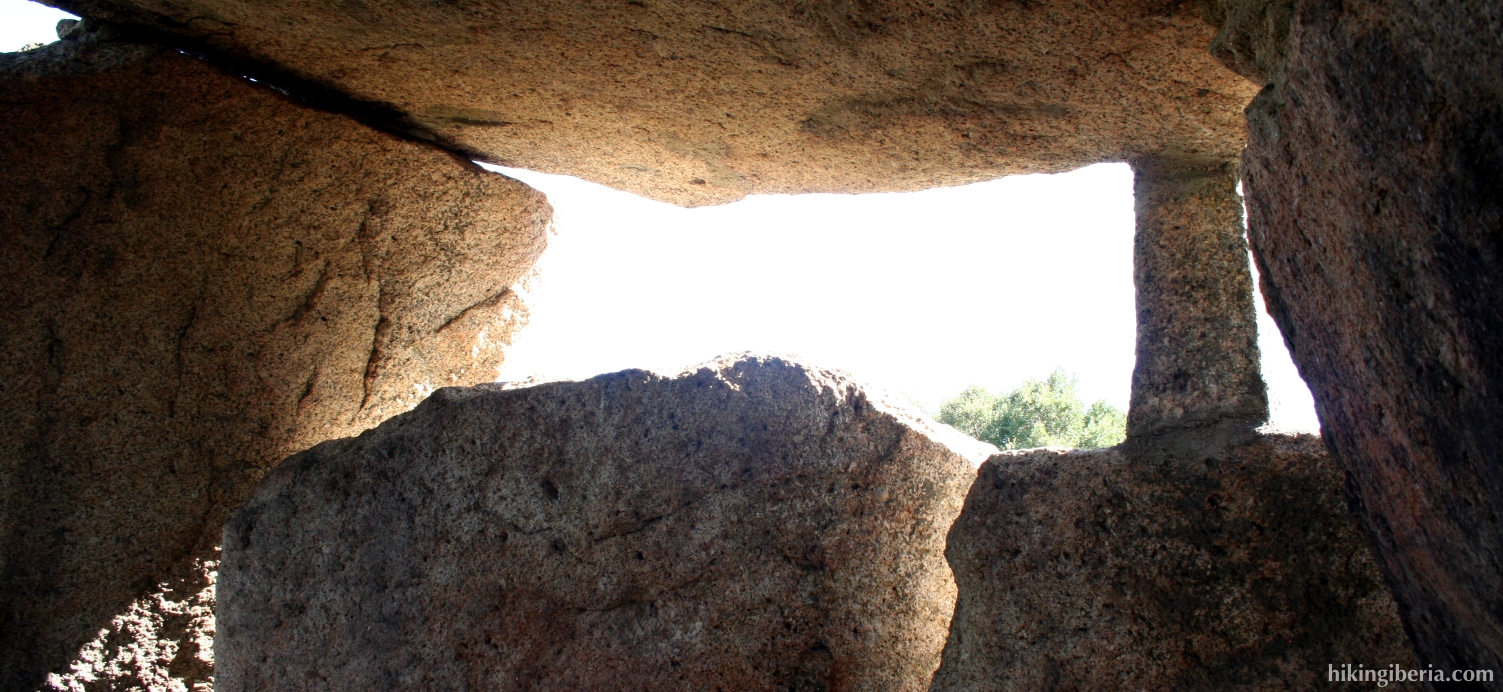
The hike takes us through the typical “dehesa” landscape of Extremadura. The dehesa is a landscape that can be seen a lot in the south of Spain and that is characterized by pastures that are used for cattle, and that contains small holly oaks and other low small trees that know how to survive the hot and dry circumstances. The route leads along a few dolmens, which are stone constructions stemming from the prehistory, and that can be compared to cromleches. Especially the dolmen “Tapada del Anta” is of interest because of its size and its good state.

- We depart from the information panel of this hiking route in the park (1). The white-yellow marking leads away from the N-521. At a crossroads we go straight on, crossing the street. Next where the marking lacks, we go straight on past the supermarket.
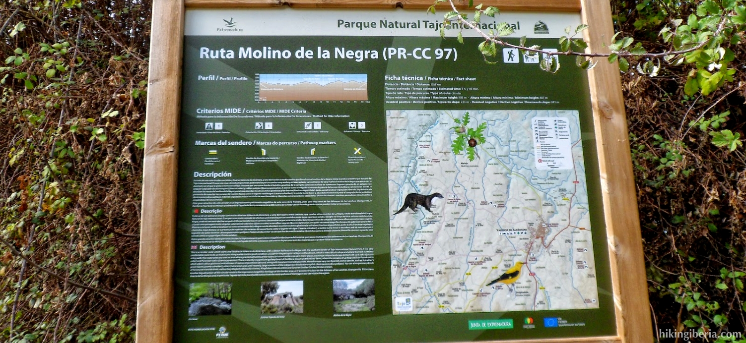
- At the church we turn right and next we turn left into the first street. At the end of it we get at a road, where we turn right (2).
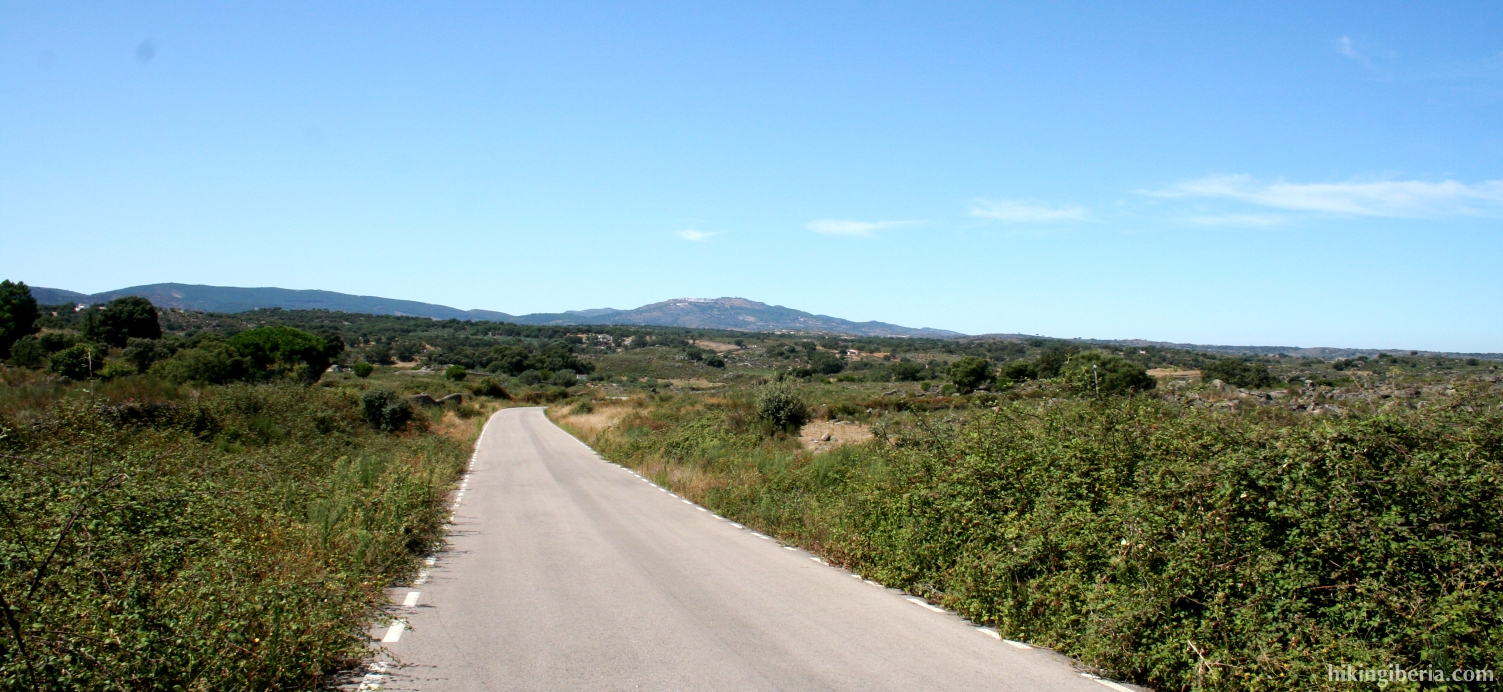
- We follow this road until we get at a junction with an information panel of the route, next to the cemetery (3). Here we keep left, following the asphalt road to Buenavista.
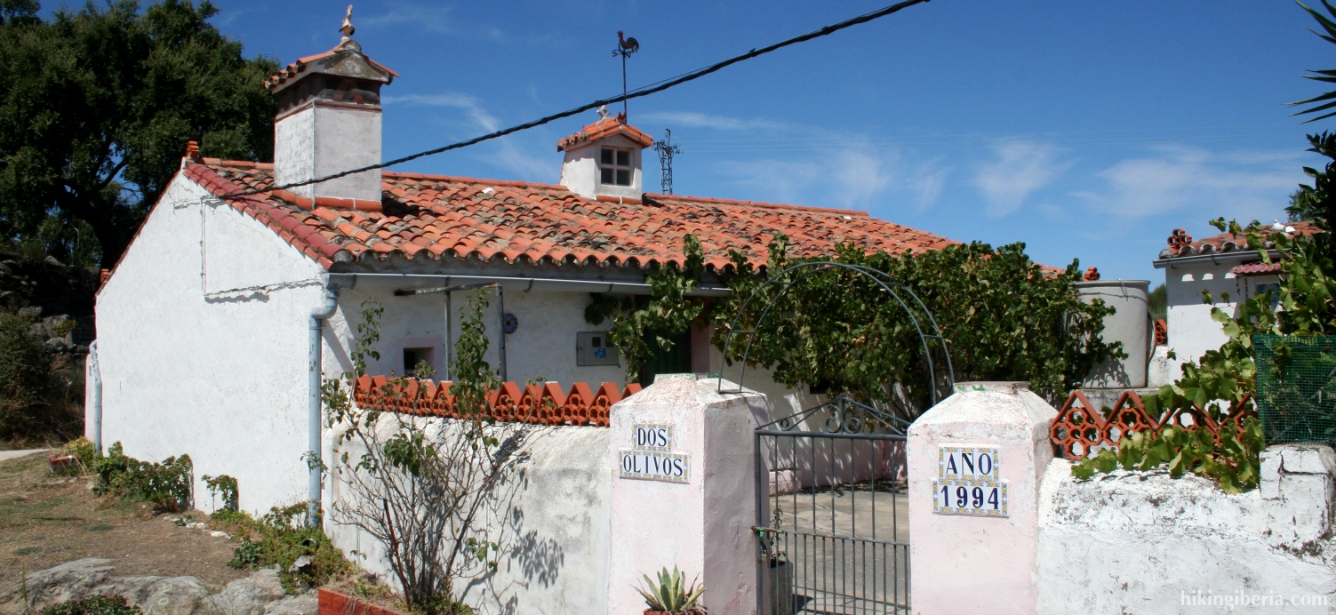
- Before Buenavista there is the possibility to visit the dolmens “Lanchas I & II”, at the right side of the road. Past the village Buenavista we get at the house “Dos Olivos”. At the fork here we turn left (4).
- At the signpost “Dolmen el Colchero” we turn left to visit this dolmen (5). After the dolmen we return to the road and continue the trail until we reach a fork with the signpost “Molino de la Negra” (6). Here we turn right.
- This fine trail takes us to the old Molino de la Negra (7), where the trail ends. We return through the same trail until we get at the signpost “Dolmen Tapada del Anta” (8). Here we turn right and then directly left, through the gate.
- Cross the field diagonally until the signpost “Ruta de Tapada del Anta”. Here starts a narrow, uphill trail through abundant vegetation. Once more uphill the vegetation decreases, we have to keep right to find the dolmen (9), which lies slightly hidden.
- From the dolmen we follow the same trail back to the fork with the signpost “Molino de la Negra” (6), where we turn right.
- We follow this road until we get at a junction (10). Here we keep right, following the signposts and marking to Valencia.
- We end up at an asphalt road (11) where we turn left. At the next crossing we turn left again. When we reach the first buildings of Valencia we turn left, following the white-yellow marking.
- We now walk straight on and join the N-521, at the park “Parque de España”. Past the park we turn left which brings us back to the Parque de San Pedro.