NL
NL  IT
IT  DE
DE  ES
ES  EN
EN 
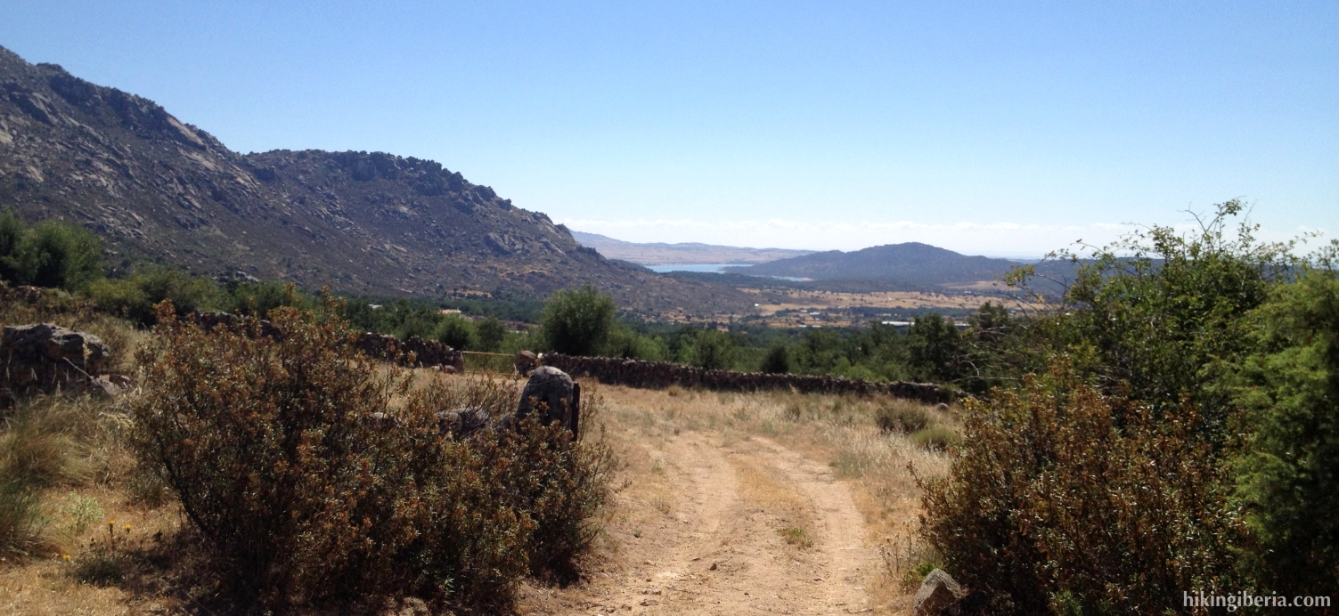
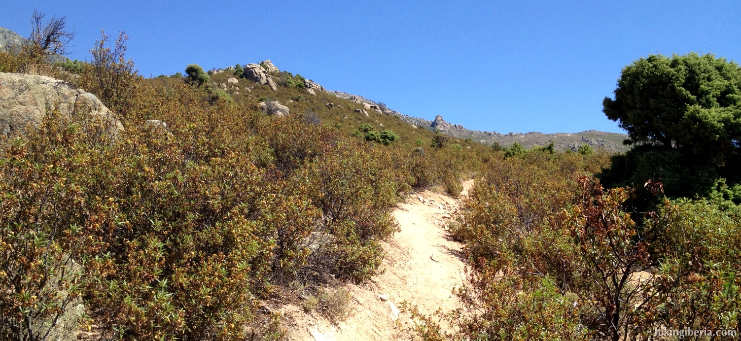
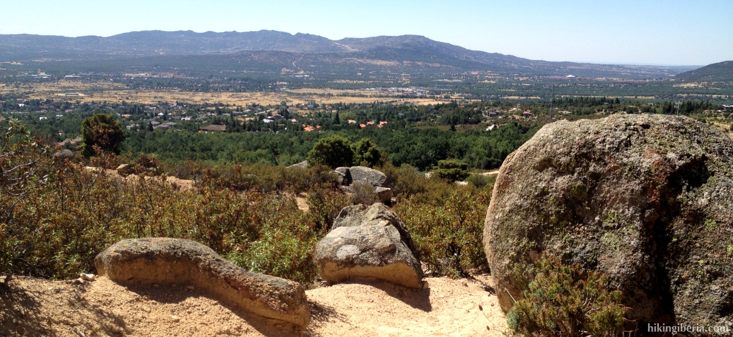
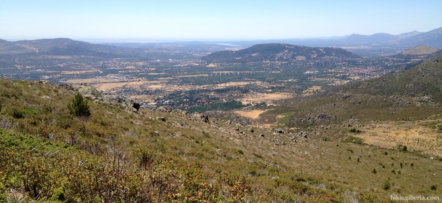
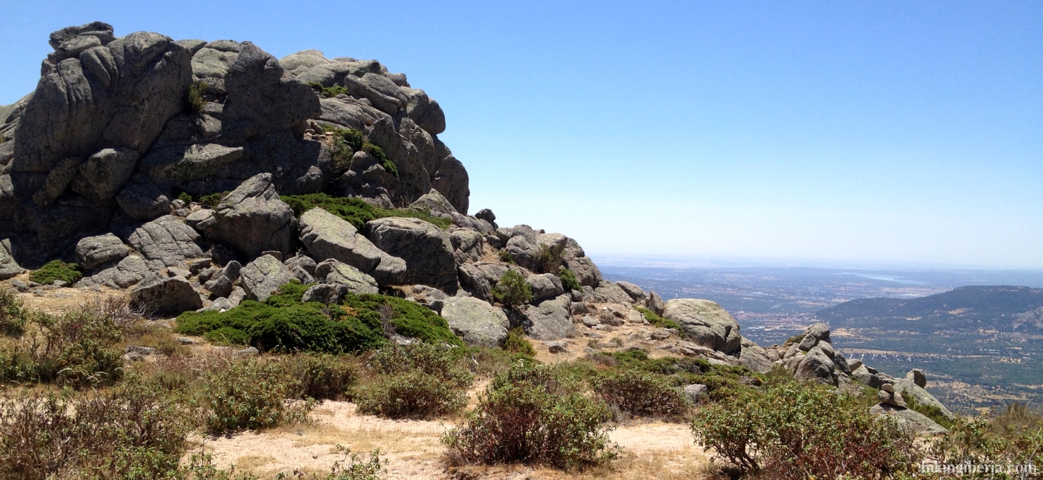
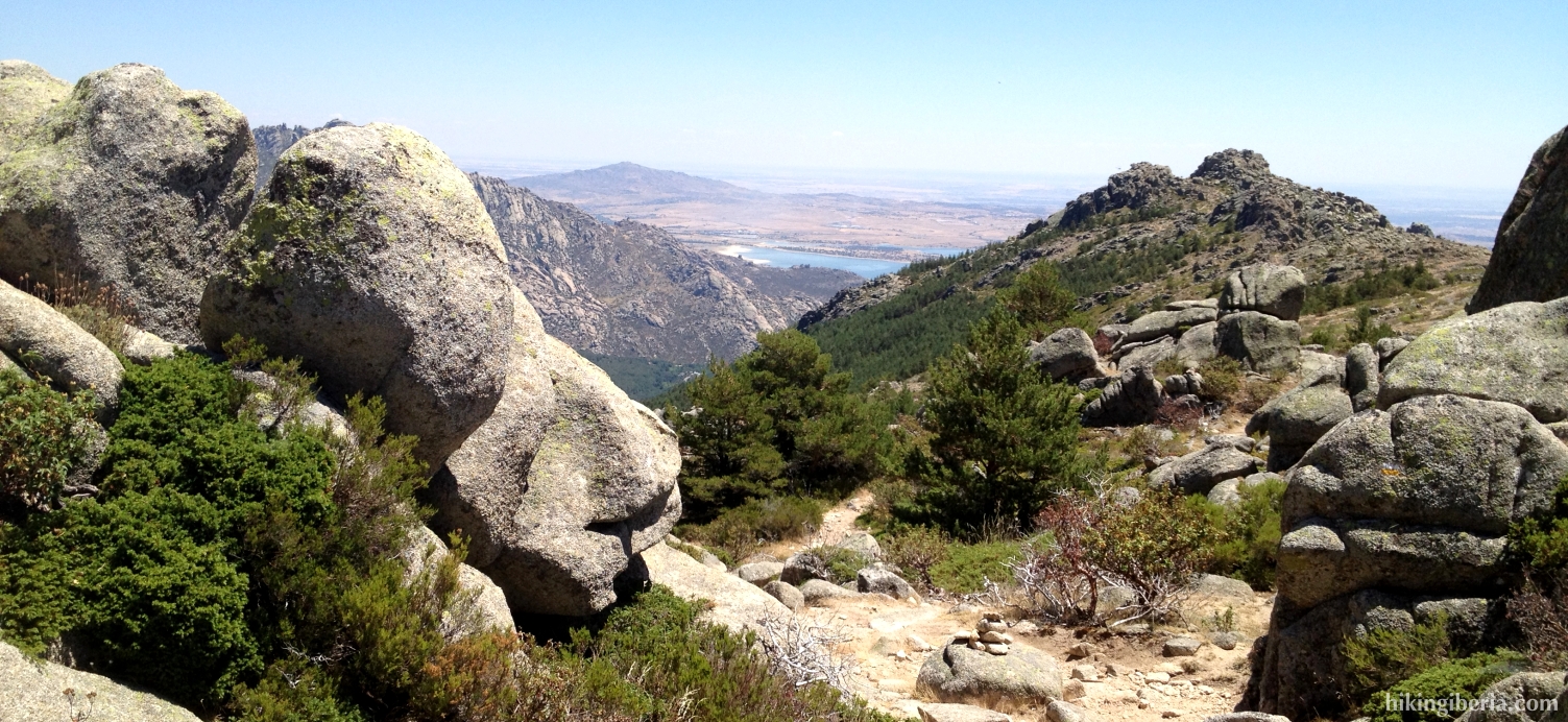
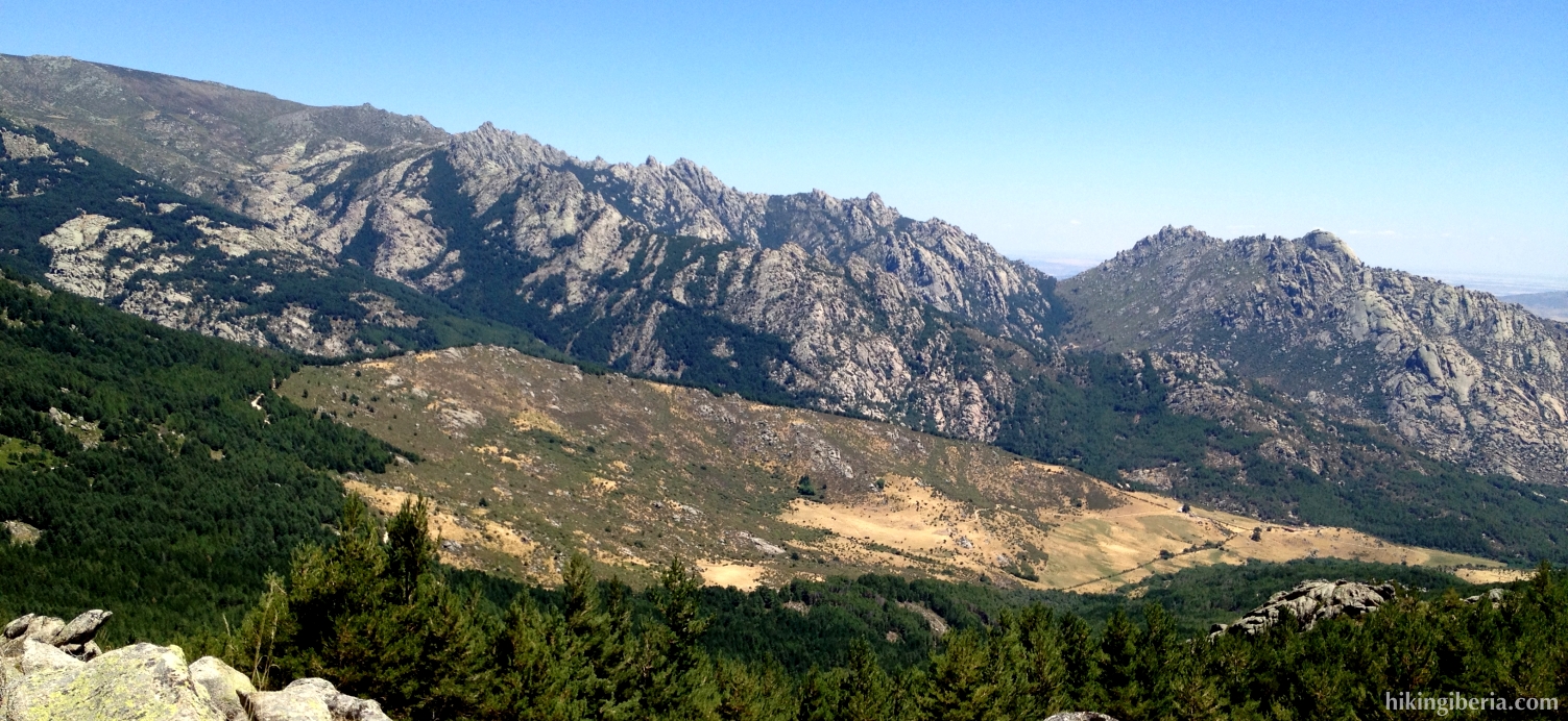
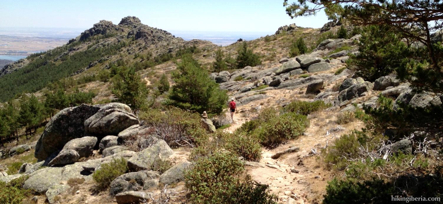
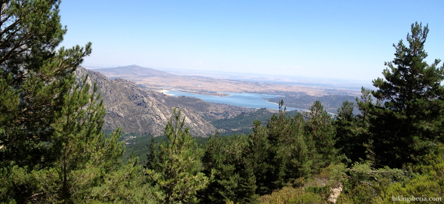
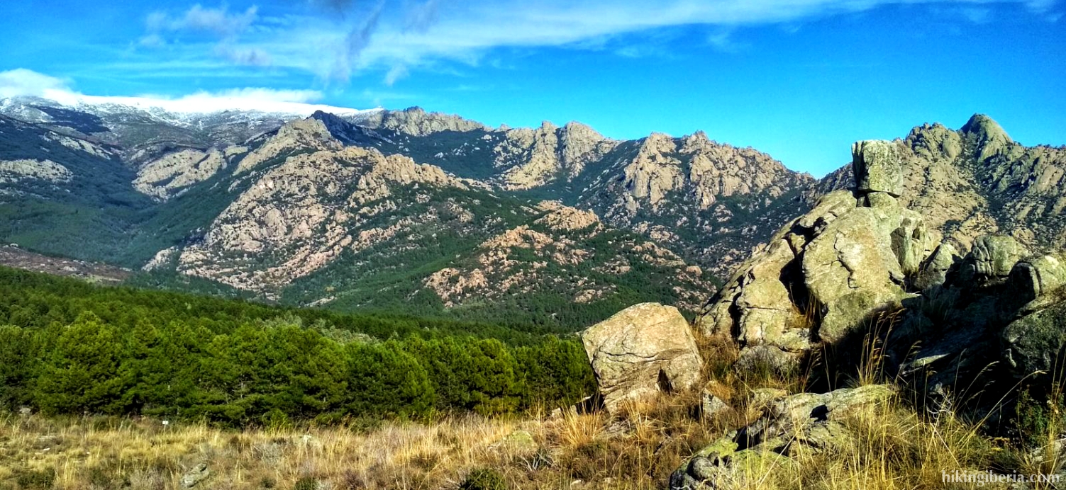
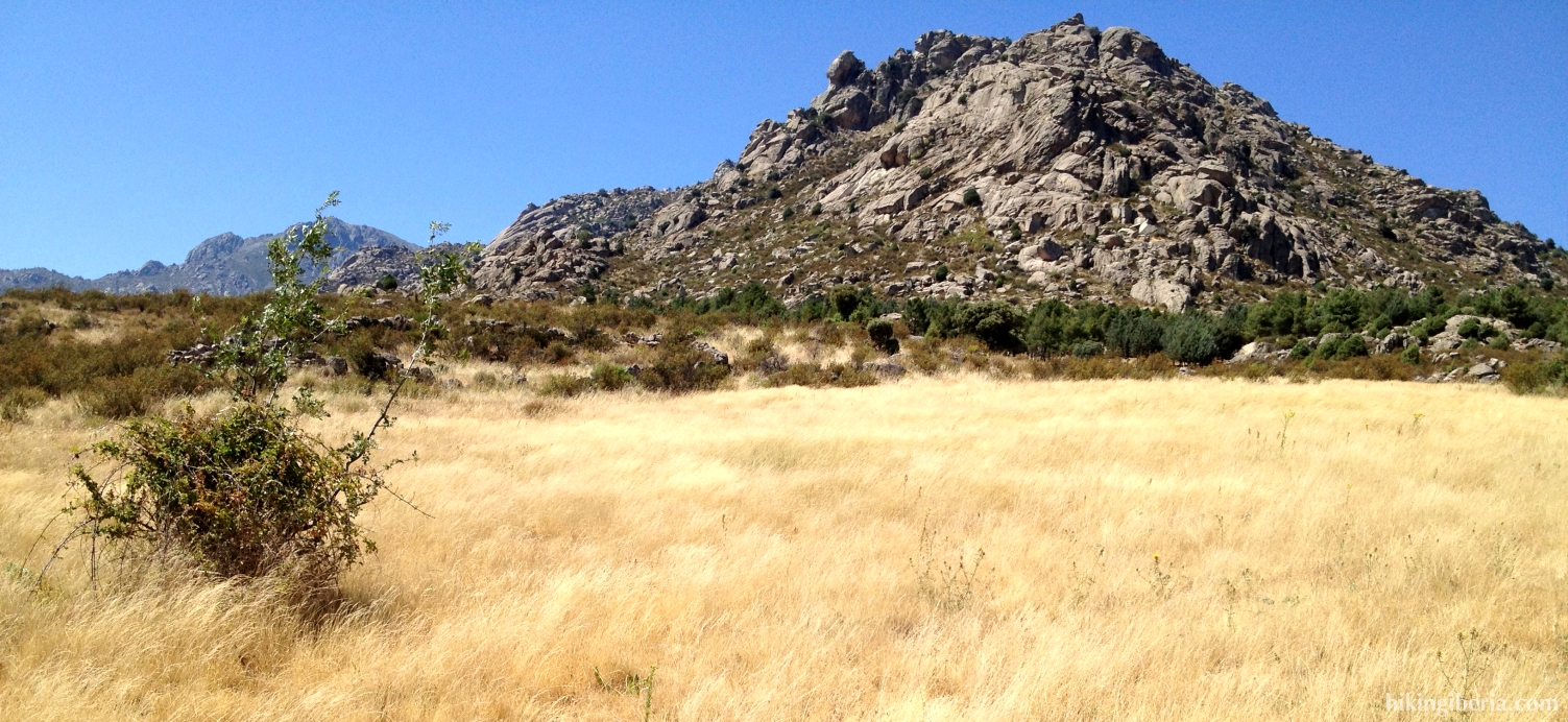
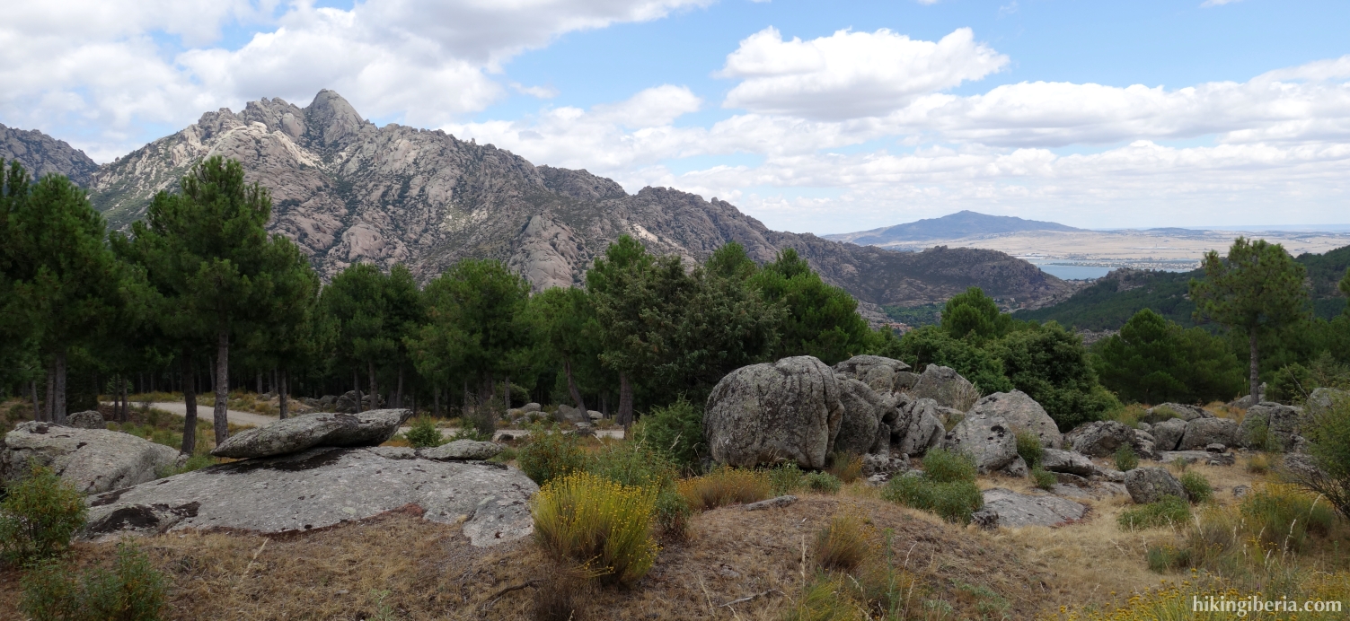
On this hike we climb the Collado Porrón, in the Sierra de los Porrones. We will do this via the west flank of the mountain where we are fully exposed to the sun and where the path is a bit complicated because it cannot always be found easily and is pretty overgrown. The Col, which is abundant with rocks and big stones, gives us a splendid view over the entire surroundings. We continue the route via the east flank that is completely different from the first part because of its woody character. From this trail we enjoy a nice view on the rocky and very popular Pedriza, but where we are walking there are remarkably less people than in the Pedriza itself.
- From where we parked the car (1) we walk towards the telecommunications mast, which we pass on the left. Next, just behind the cattle grid (2), we turn right.
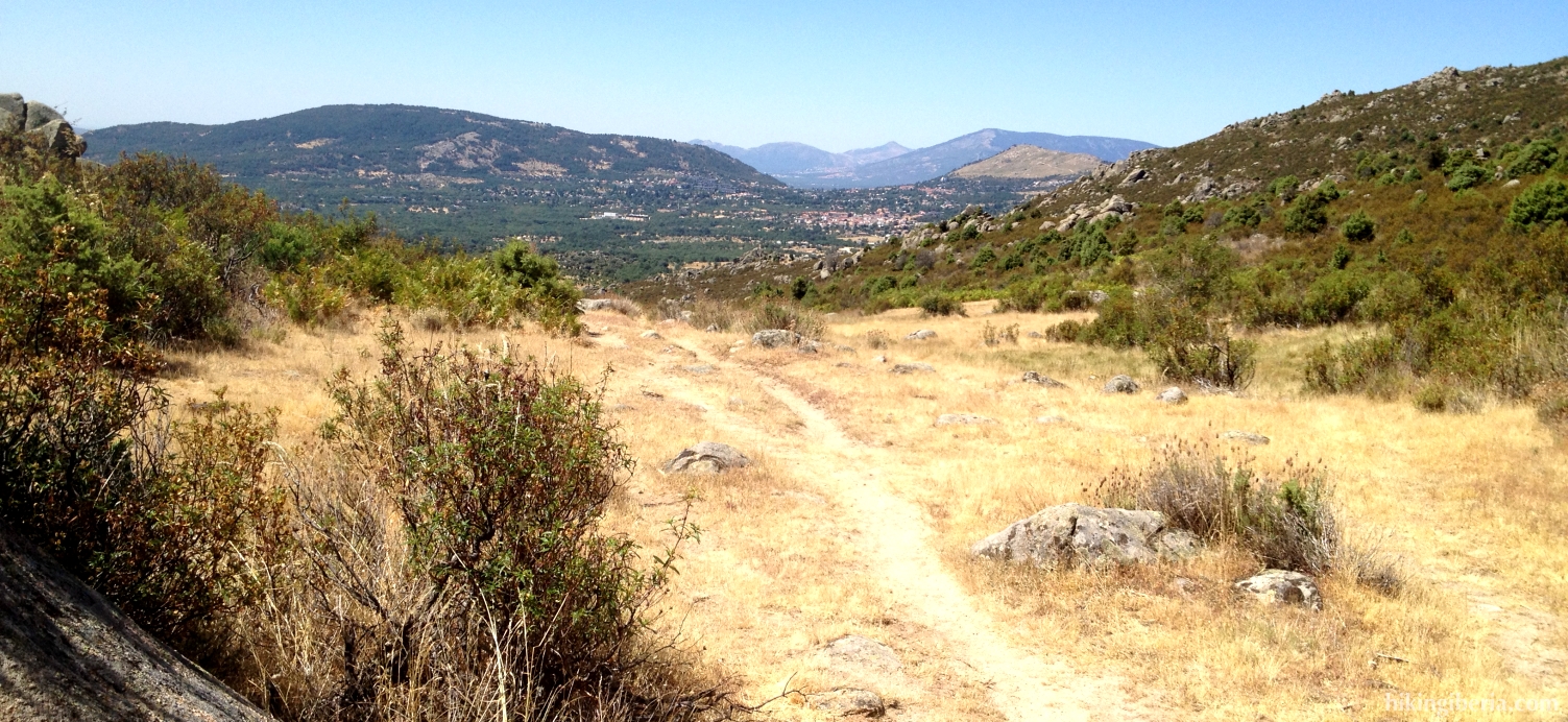
- We now follow this trail, cross the stream Arroyo de la Gargantilla and keep climbing strongly. Above we get at an open field from where we have a nice view over the surroundings. There where this open field narrows again, we turn left at the Y-junction (3). We cross the field completely and at its very end turn left onto a trail (4).
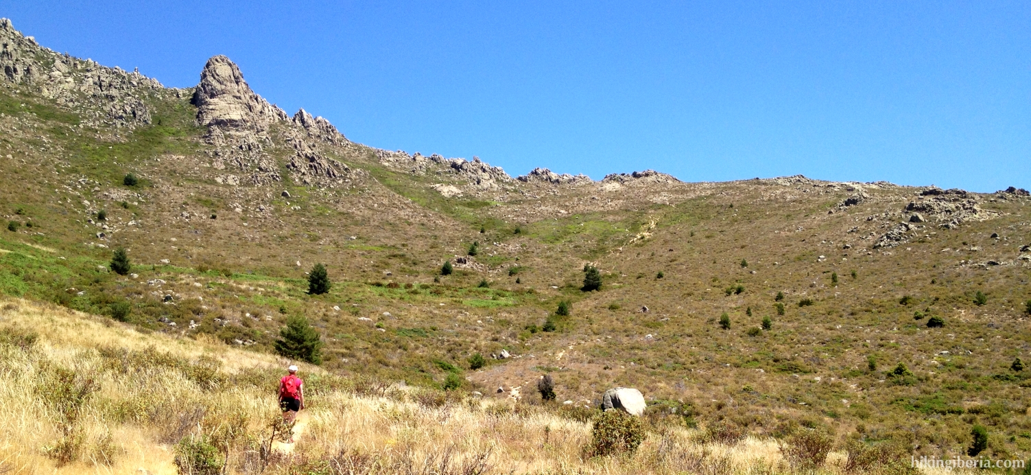
- We climb steeply through a sandy trail, farther down parallel to a fence. Where the fence ends, the path forks and we turn right (5), onto a trail marked with milestones.
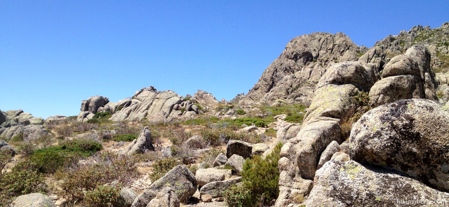
- We keep ascending, further on go through a fence of wire and keep ascending through a steep trail to the Collado Porrón (6).
- From the Collado Porrón we keep right, downhill, from here following the marking, which consists of both yellow-white marks as well as milestones. Quickly we get at a junction, which we take to the left downhill. At the next junction (7) though we continue straight on.
- At a given moment, where the path continues straight on, the yellow-white marking points to a path downhill (8) where we turn left. Through this trail we descend quickly and further on the fork we keep right. Via this trail we end at a dirt road, where we go right (9).
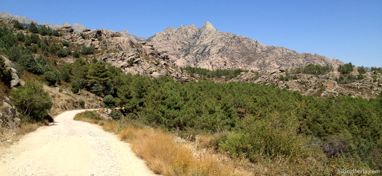
- This road goes downhill with wide bends, but at various spots there are small trails that we can use to cut short the road. A considerable distance further on, just past km 8 (10) we turn to the right. This path ends at a private property, where we go left. We walk past the wall until we get at a path with a gate (11). Here we go to the right.
- We now walk in an open area with views on el Boalo. At the Y-junction (12) we turn right. We now walk in a slanting direction through the field towards a dirt road. Just before this dirt road we encounter another Y-junction where we keep left. Once on this road (13) we turn right.
- We follow this road, ignore a side-path on the left that goes over a bridge (14) and further on we ignore a side-path to the right (15).
- We now walk past a farm where the bend takes a sharp turn to the left. In this bend on the right lies a path that we take and that leads to the asphalt road M-617. Once on this road we turn right (16).
- We follow this road uphill to the end and turn left into the M-615 (17). At the next junction we turn right, again into the M-617 in the direction Becerril de la Sierra (18). We follow this road until we reach again the dirt road where we parked the car (1).