NL
NL  IT
IT  DE
DE  ES
ES  EN
EN 
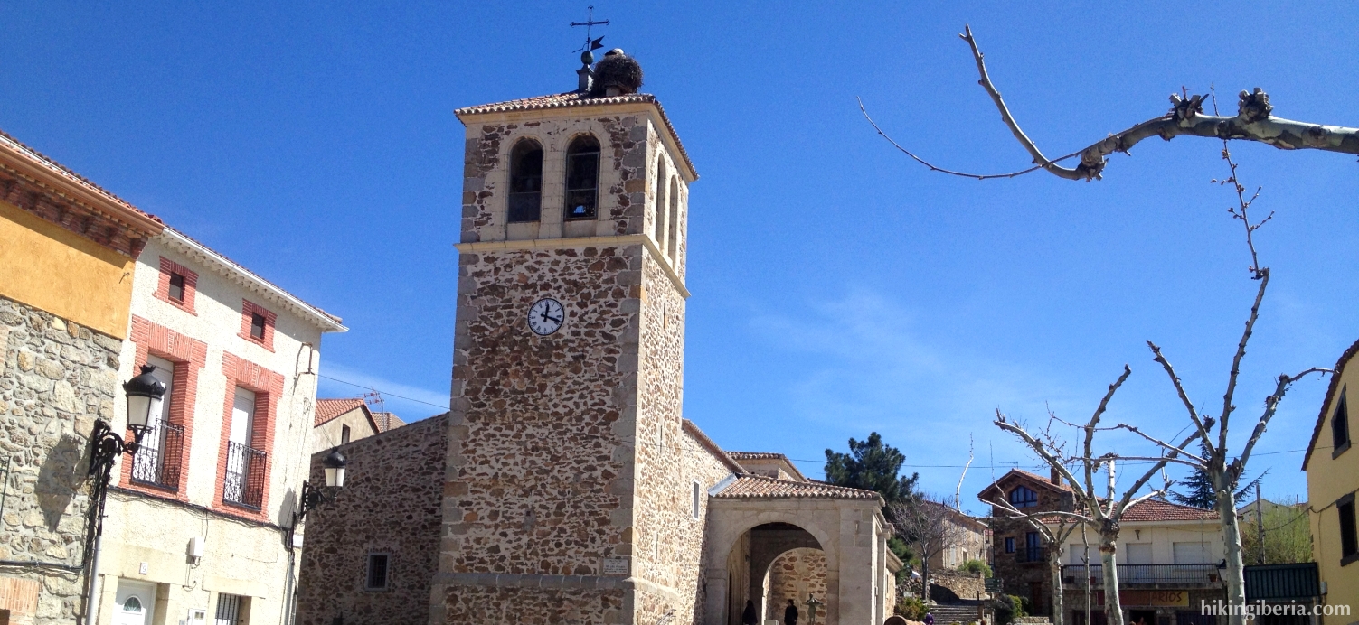
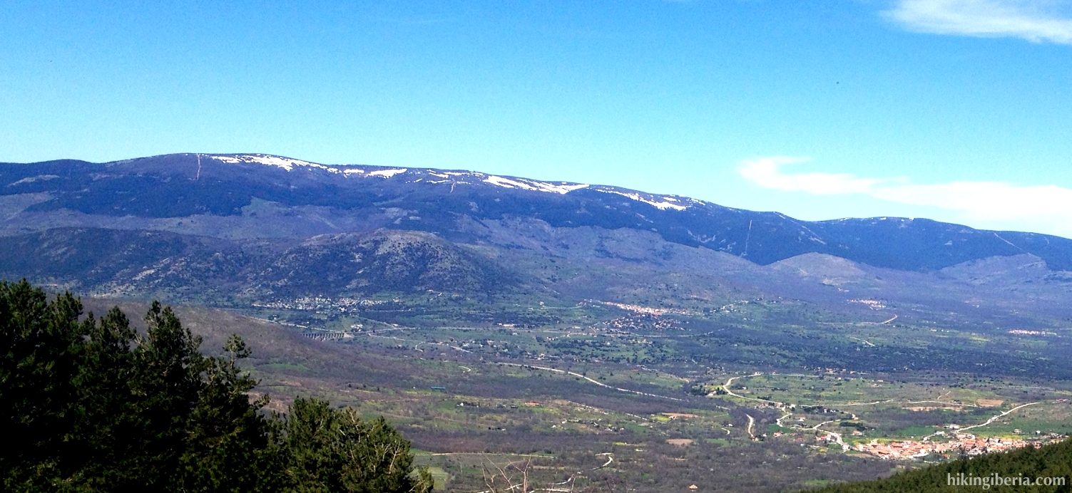
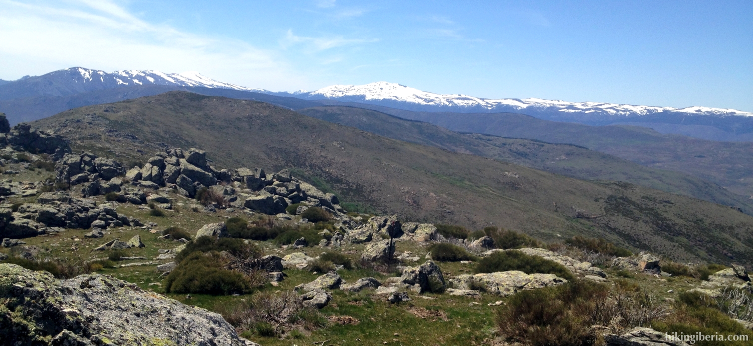
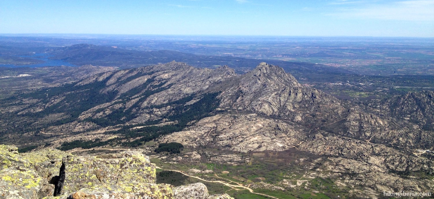
During this hike we climb to the Pico Regajo, a peak of 1,831 meters near the village of Garganta de los Montes in the Sierra Norte de Madrid. The Pico Regajo lies just behind the very rocky Sierra de la Cabrera, giving us a very nice view on it. In the northwest we can observe the reservoir of Ríosequillo. On the way back we have to affront a rather steep descent, especially the part through which we descend via a firebreak, thus the use of sticks is highly recommended.


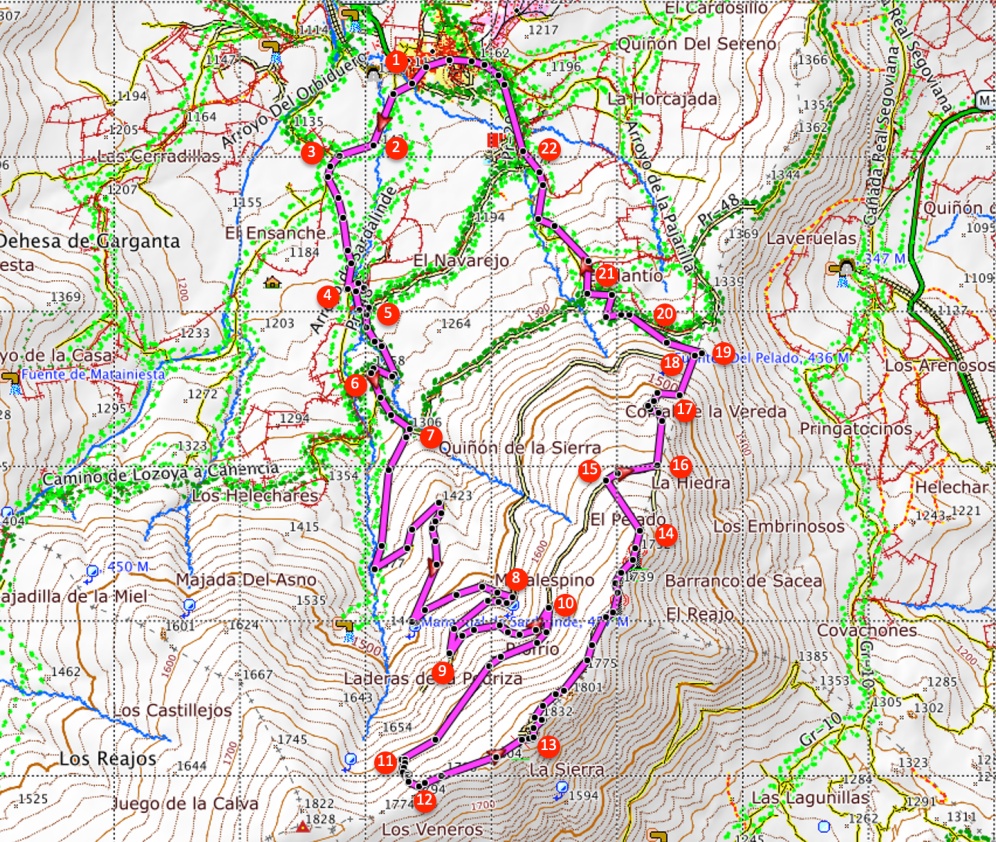
- From the town hall of Garganta de los Montes (1) we walk downhill and turn left into the Calle San Isidro. Next we turn right into the Calle Rosario, past the Calle del Príncipe. At the end (2) we turn right, following the signpost to “Ermita de Nuestra Señora de los Prados”.
- At the end of this path we turn left (3), again following the signpost to the Ermita. We now keep following this path and ignore various side-trails. After about one and a half kilometre (4) we follow the signpost to the Ermita to the left, going over a cattle grid.
- We now go over a brooklet. The trail to the Ermita continues straight on, but we turn right at the first occasion (5). We now get past a small reservoir where we continue straight on, which will bring us onto a trail marked with yellow arrows.
- Further on at a junction (6) we turn left, following the yellow arrows. We now follow this trail until a gate through which we go and directly behind this gate at the fork we turn right (7).
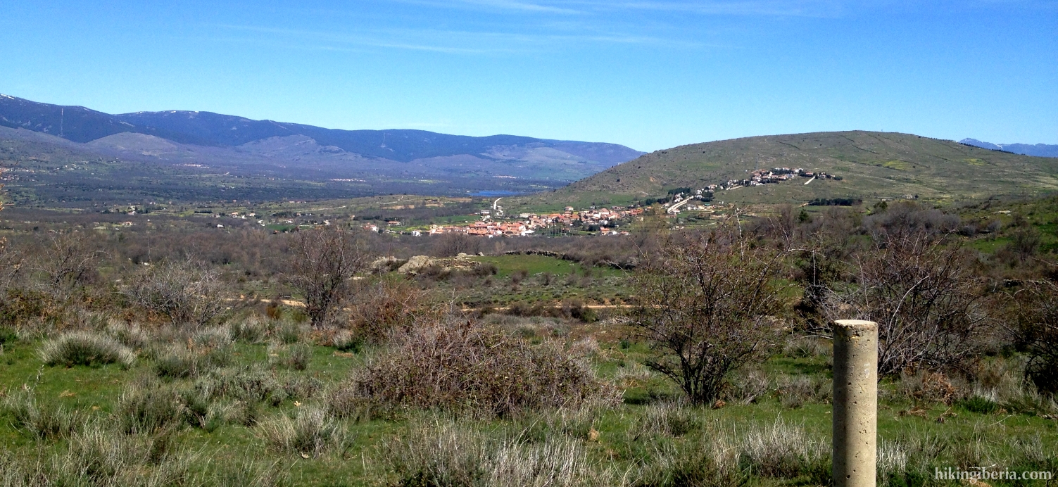
- We now follow this wide forest trail and ignore various side-trails until at about 1,550 metres of altitude we reach a T-junction (8). Here we turn right. Further on at 1,600 metres of altitude there is a side-trail on the right (9), but we turn left and keep walking uphill on the wide path.
- At about 1,650 metres of altitude we reach a Y-junction (10) where we keep right, further uphill following the same path.
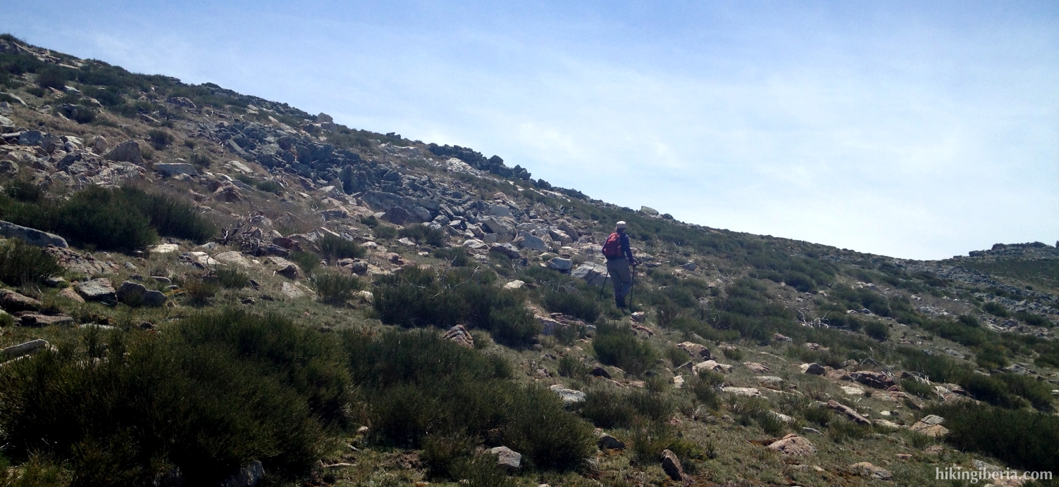
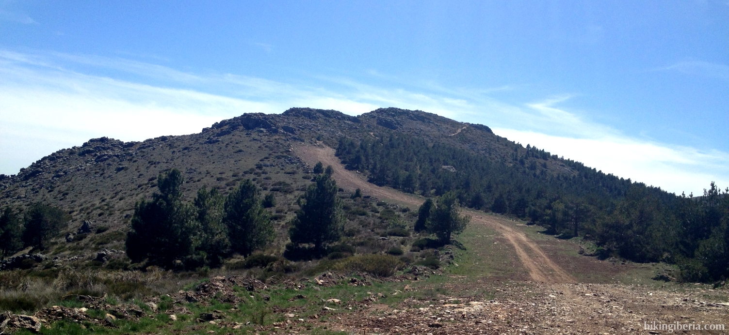
- At about 1,700 metres the wide trail terminates and we continue straight on through a small trail between the stones, having the peak of the Mondalindo in front of us. We stay on this trail for a while until it becomes hardly visible (11). We then turn left uphill on the slope, without trail, until at about 1,800 metres we reach a bunch of rocks. If you observe well, you will encounter a narrow trail, which we follow to the left (12).
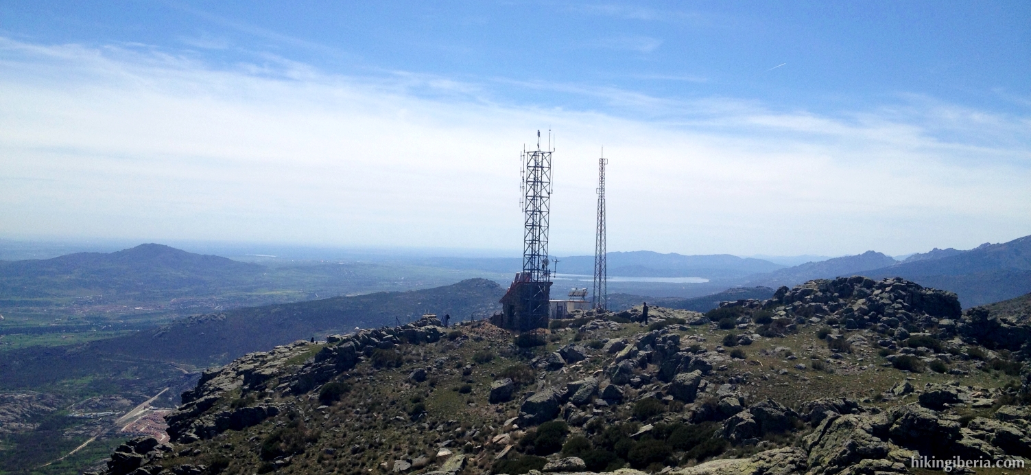
- In front of us we see a number of telecom masts that stand just before the peak of the Pico Regajo. Past these masts we eventually arrive at the Pico Regajo (13). At the left of it a bit lower lies a path, to which we descend and then turn right.
- This path slowly becomes more comfortable and eventually turns to the left (14). We now make a heavy descent. At the end of it we reach a T-junction (15) where we turn right.
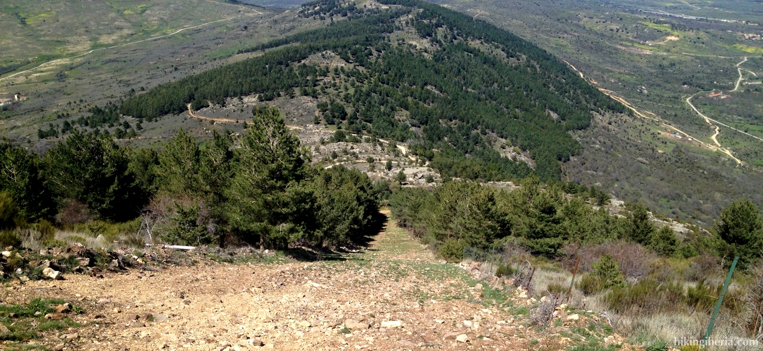
- After some more descending we reach another path (16), where we turn left. It is also possible to continue straight on at (14) which through a steeper descent brings you to (16).
- We follow this trail until a steep descent through a firebreak on the left (17). At the end of this firebreak (18) we turn right, until we reach a junction (19). Here we go left. A bit further on we need to pay attention. On our right there is a brick wall (20) with parallel to it a narrow trail we need to enter, but which at the beginning is not very well visible.
- We now follow this trail straight on for quite some time and ignore a side-trail on the left (21). Further on where the path splits we keep right, which brings us via a narrow trail – fenced on both sides – to a road (22). Here we turn right and follow this road straight on until we reach Garganta de los Montes again.