NL
NL  IT
IT  DE
DE  ES
ES  EN
EN 
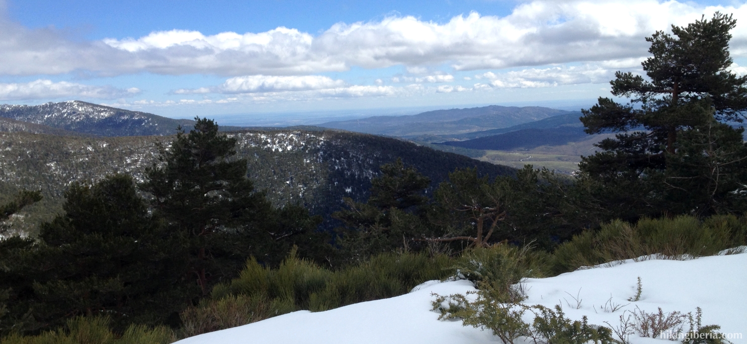
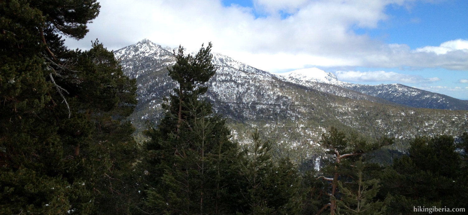
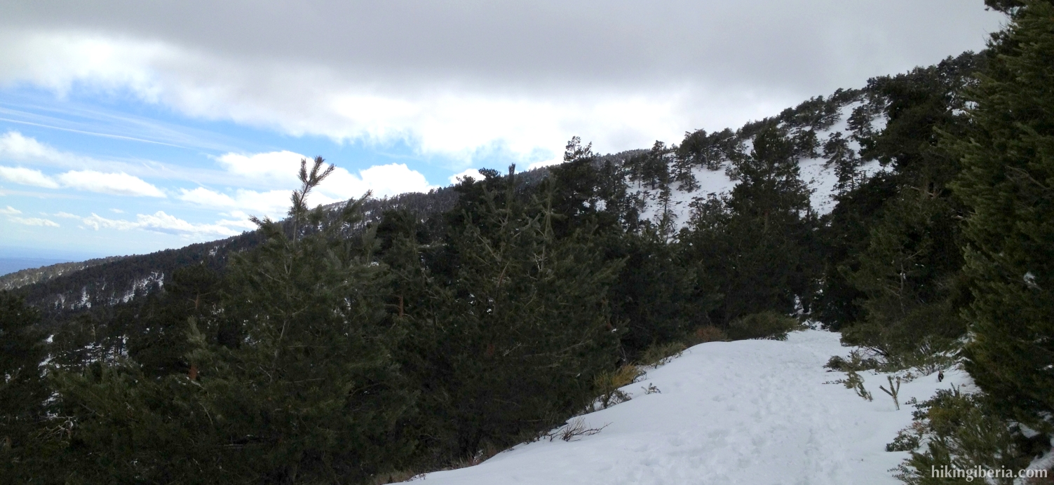
The description of this hike is to a large extent conditioned by the big amount of snow that we encountered when we walked it. Because at the first part of the hike the trail cannot be discerned any longer because of the snow, we first walk towards Arroyo de Marichiva and climb without trail along/via this stream to the Collado de Marichiva. On the way back also a part of the route becomes complicated because of the snow, because of which the use of compass/GPS is highly recommended.

- We cross the parking lot across the Casa Cirilo (1) and keep right, to climb a bit towards the road that lies higher above. Once we arrive at this road (2), we turn right.
- Further on at a junction (3) this road turns to the right, but we continue straight on onto a dirt road that is closed for cars with a barrier. A couple of metres further on we cross a brooklet (Arroyo de Majavilán) and right behind it turn left onto a trail that runs uphill.
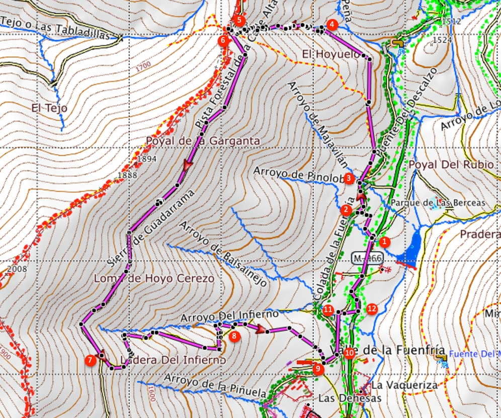
- This trail is marked white-yellow but hard to follow in the snow. Make sure you keep slightly to the left to avoid walking back to the road that we left before. This trail, which further on turns to the left, eventually takes us to the brooklet “Arroyo de la Barranca” (4). The white-yellow marking continues at the other side of the brooklet, but we follow the course of the brooklet further uphill and hence ignore the white-yellow cross.
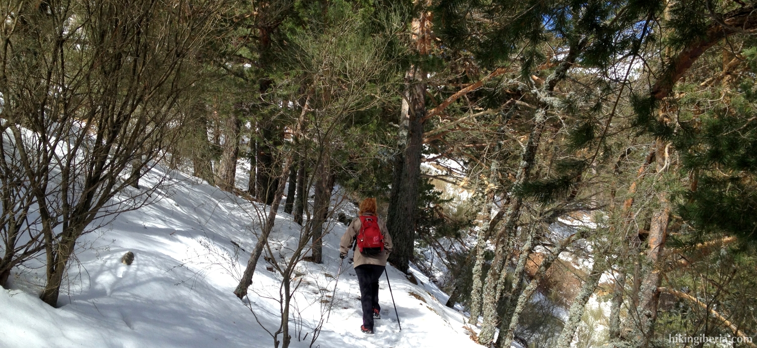
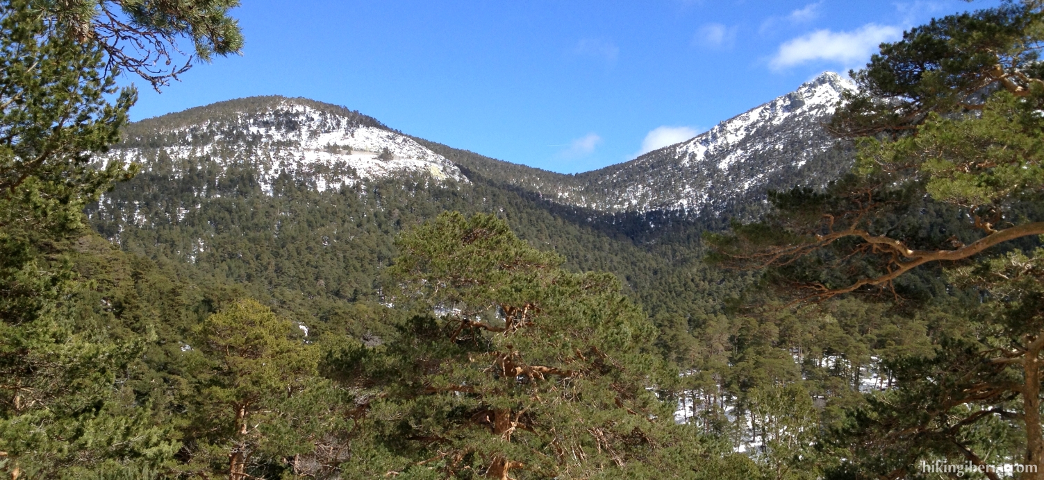
- We now climb partially along the brooklet, once in a while right through it, which in the snow is a heavy climb. Once on top we reach a trail that is marked with red dots (5), where we turn right. We now quickly reach the Collado de Marichiva and the GR-10, which is marked white-red. But we will not follow this GR-10, instead we turn left (6) onto the lower situated wide path (Pista Forestal de la Calle Alta).
- We now keep walking on this path for about 2,800 metres, to then turn left onto a trail that runs downhill (7). This trail lies just behind a bend to the left past the brooklet “Arroyo del Infierno”. In the snow it is again a bit hard to find, but it is marked with red dots.
- 1,500 metres further on (8) we keep right and walk towards the hospital Fuenfría (9). At the hospital we turn left, which brings us to a road (10) where we turn left again.
- A bit further on (11) we cross the field on the right and walk towards the road we can see further on. At this road (12) we turn left and then keep following it until the Casa Cirilo, the point of departure of this hike (1).