NL
NL  IT
IT  DE
DE  ES
ES  EN
EN 
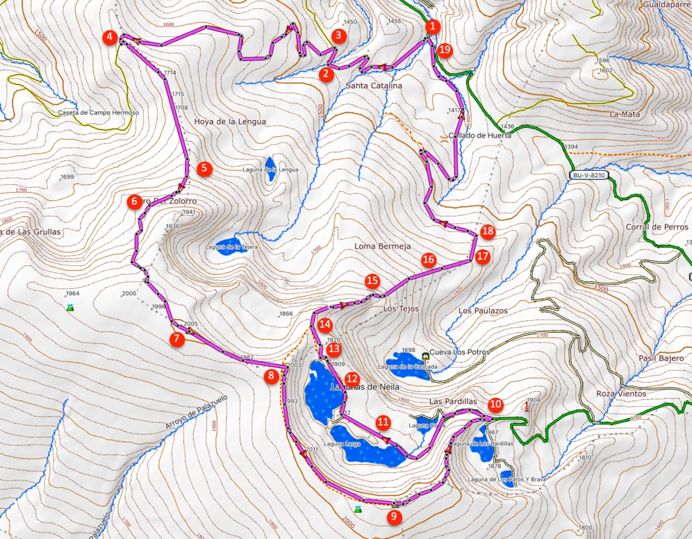
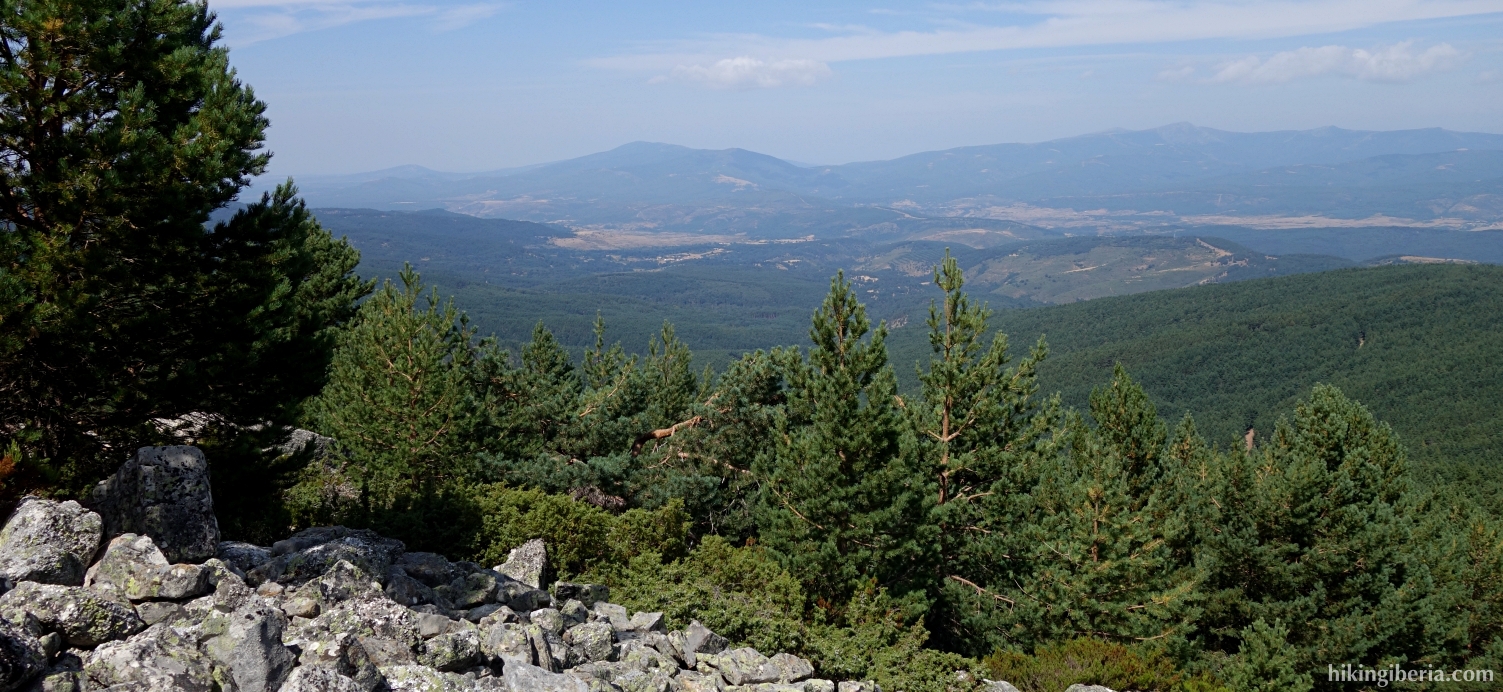
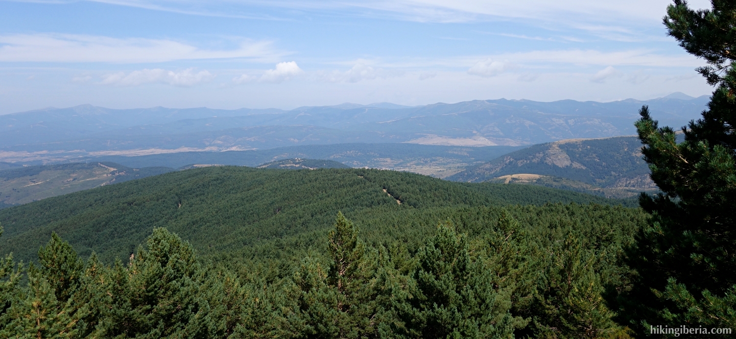
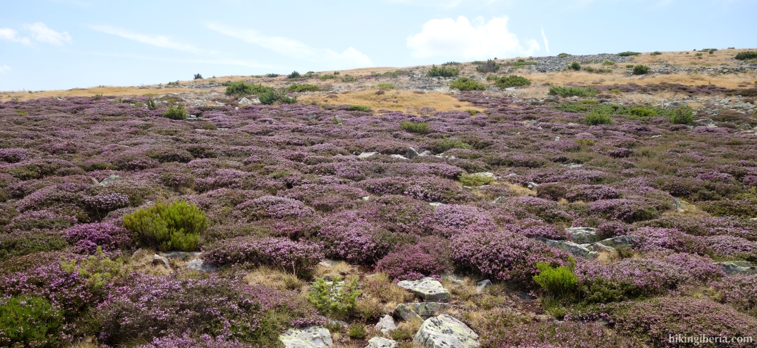
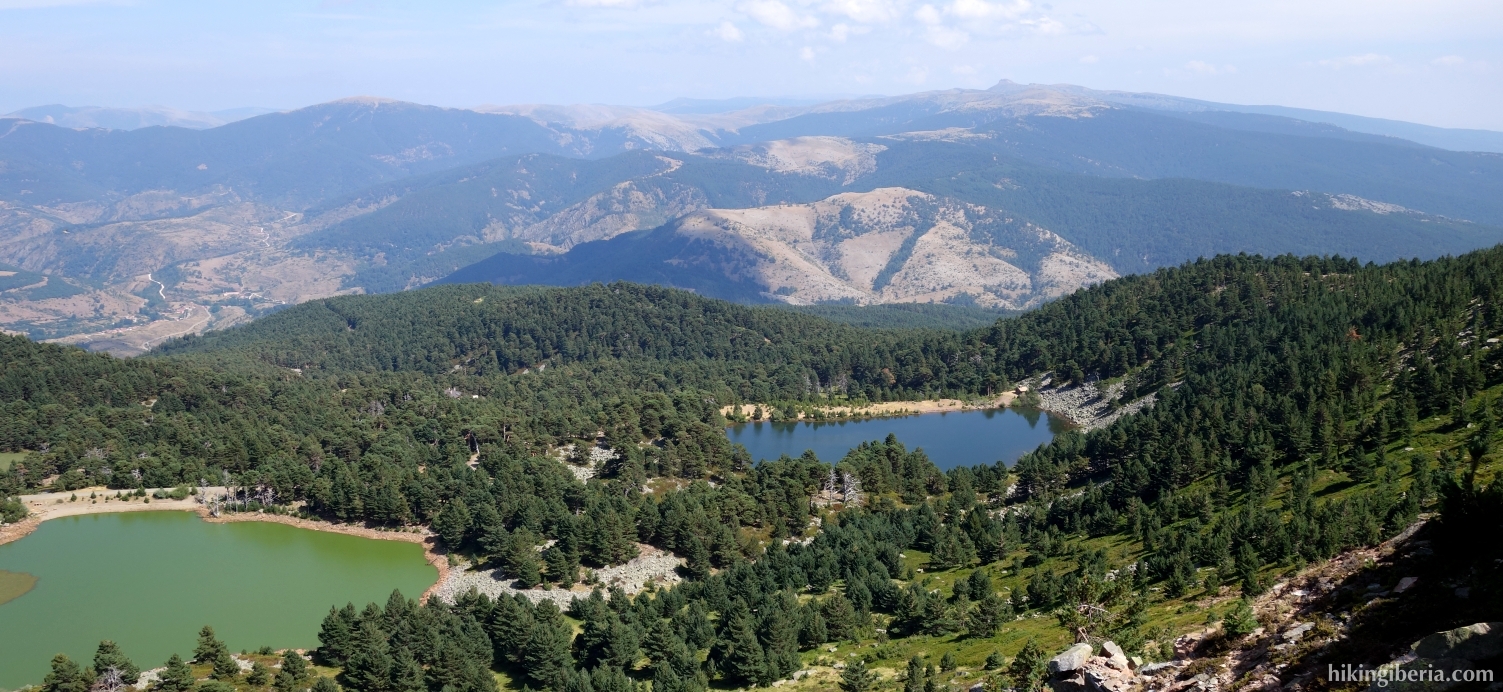
The Lagunas de Neila are a collection of beautiful lakes in a natural glacier area that form a protected nature reserve. Hiking in this area is very popular, but during this hike we reach the lakes via a less usual route through a remarkable mountainous area via the Morro del Zolorro and the Alta de la Campiña, where we are virtually alone. On the Alta de la Laguna and the highest top Campiña we are in the touristic area with beautiful views over the Laguna Larga and the Laguna Negra. We eventually return via both lakes and then descend again in peace and quiet to the surroundings of the Collado de Huerta.
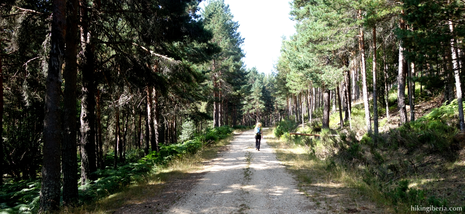
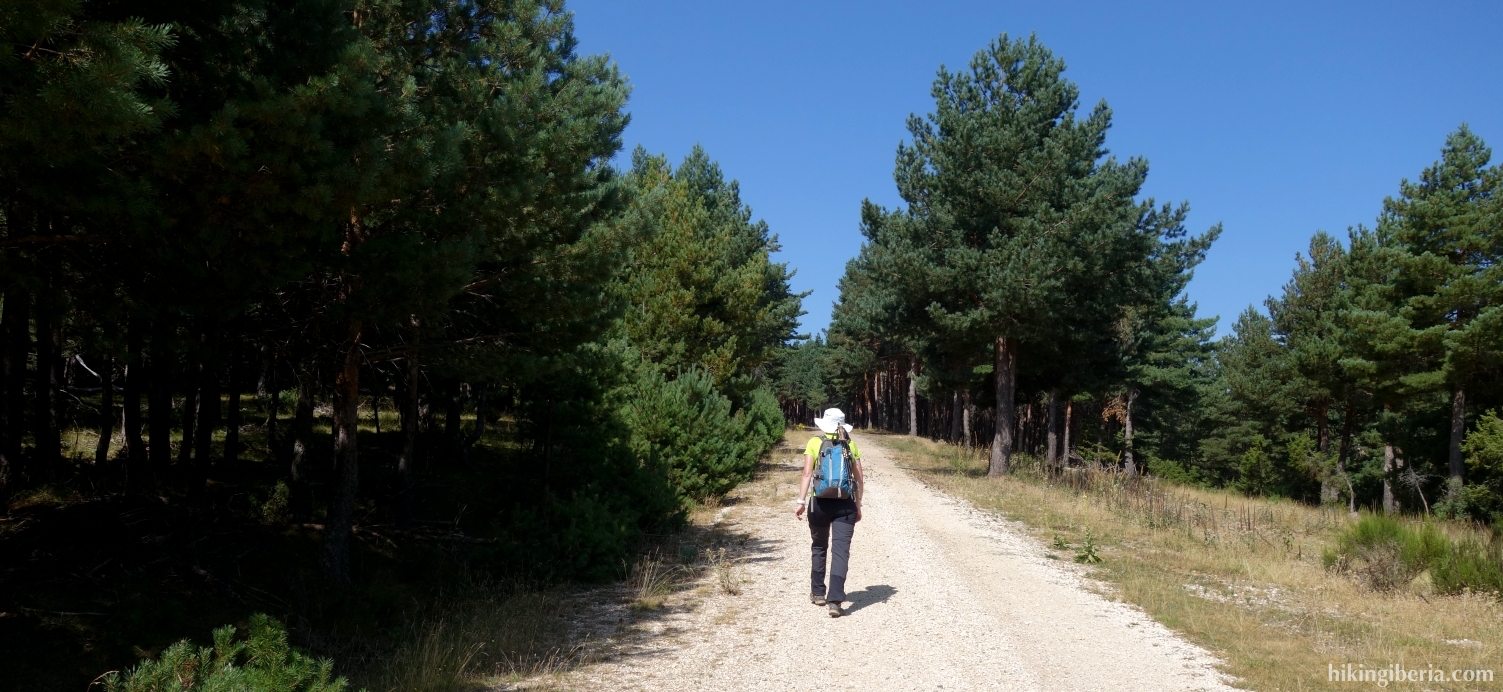


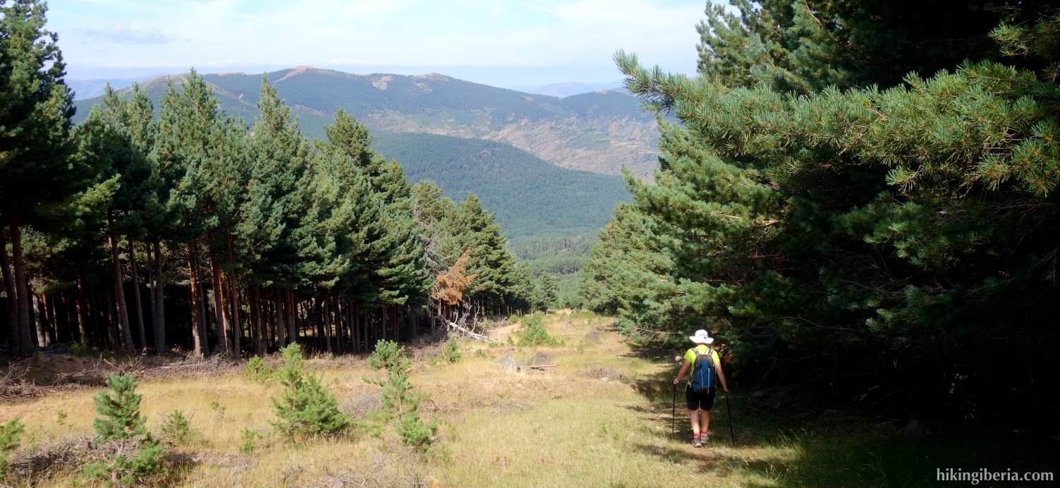
- From the car (1) walk further down the dirt road (1). After about 20 minutes we come across a path from the left (2) that we ignore and keep walking on the dirt road.
- A little further on the white-red marking poins to the right (3) but we keep to the left and keep walking on the dirt road.
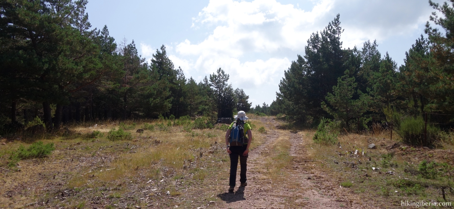
- After about 40 minutes at a bend in the road (4) the dirt road starts to descend again. We descend a little bit and then go onto a fire break with white-yellow marking on our left hand.
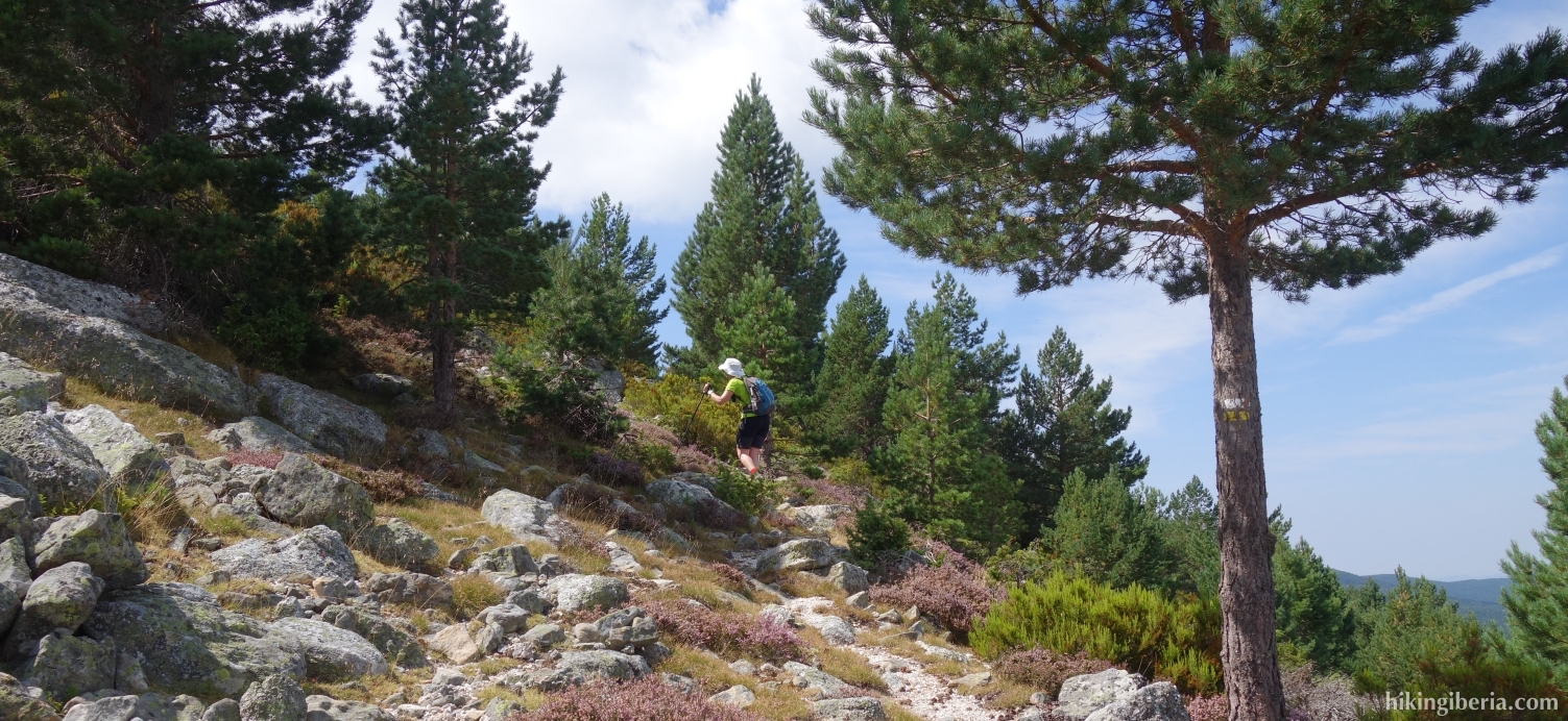
- Further on (5) the trail narrows and we follow the white-yellow marking and the milestones uphill.
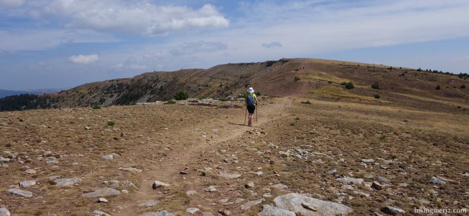
- Further on at the Morro del Zolorro (6) there is no longer a clear trail. Every now and then we see some milestones. Make sure you ascend to the south up the mountain while you see a ridge above you on your left side.
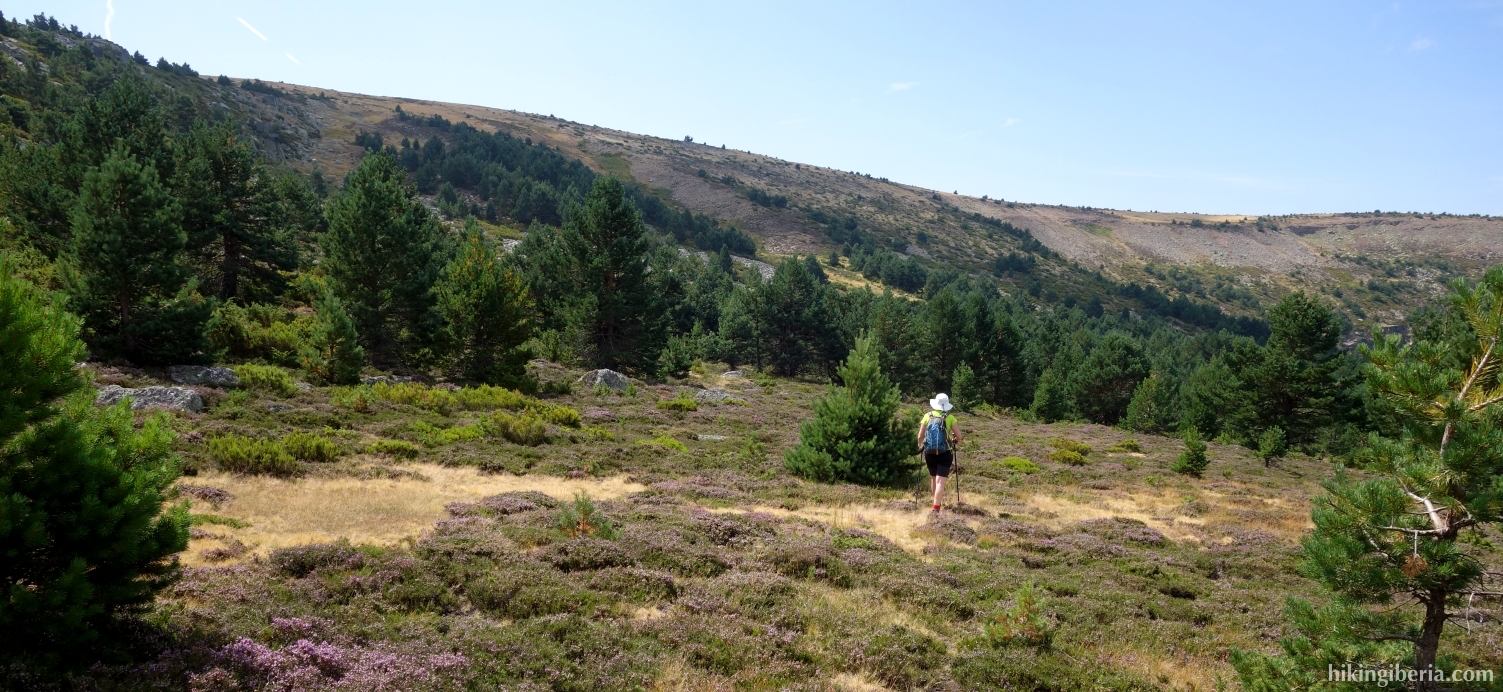
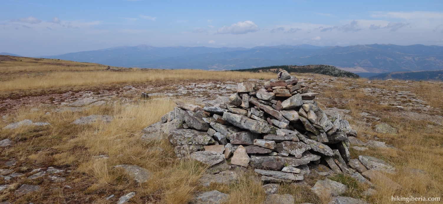
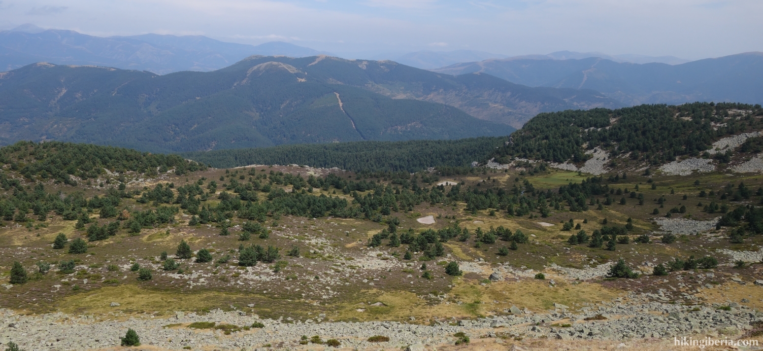
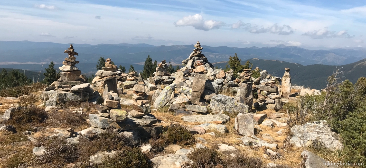
- Further on we come out on a more open and flatter stretch where we walk in a south-easterly direction to the highest point of this part of the mountains, the Alto de la Campiña (7), to be identified by a pile of stones. From here we see on our left side some small lakes below, the Laguna de la Tejera and the Laguna de la Lengua.
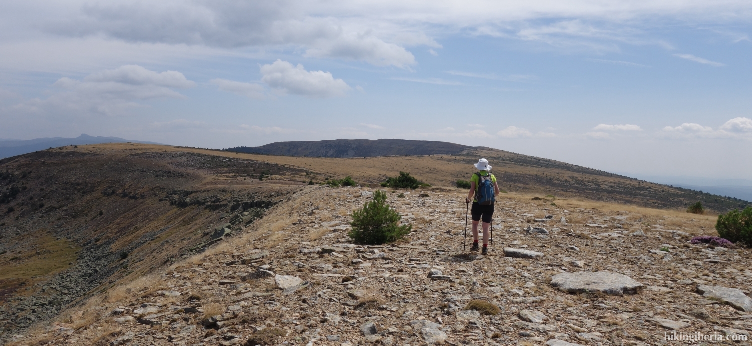
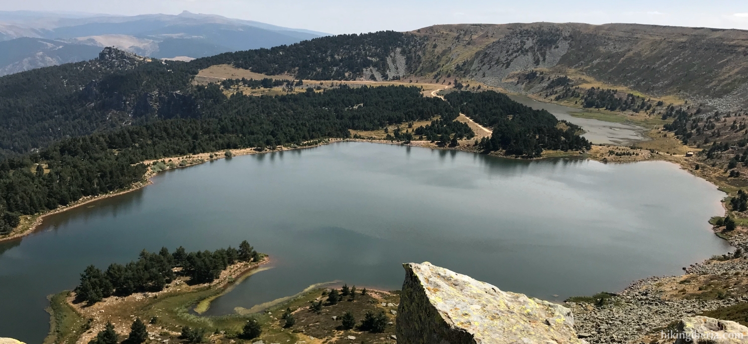
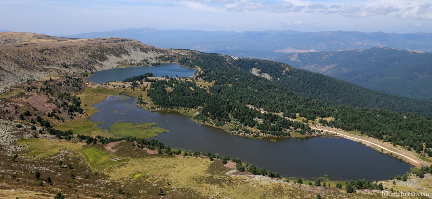
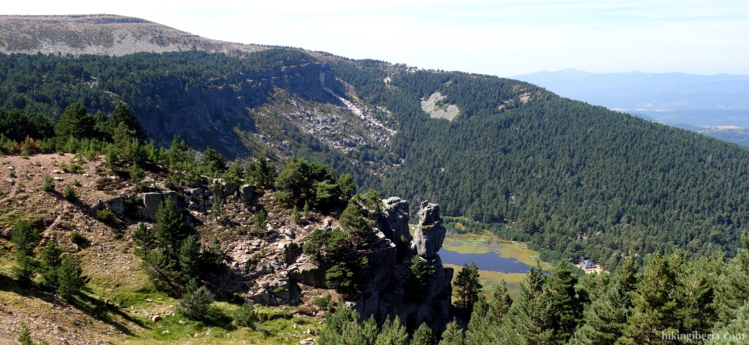
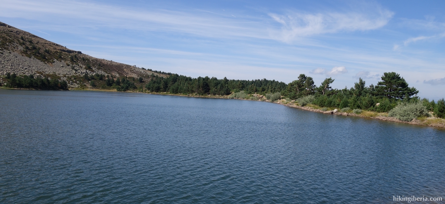
- We simply walk further over the altitude line, descend about 20 meters and then see milestones that take us up a little bit to the Alto de la Laguna (8), 15 minutes from the Alto de la Campiña. From here we have a magnificent view over the Laguna Negra and the Laguna Larga.
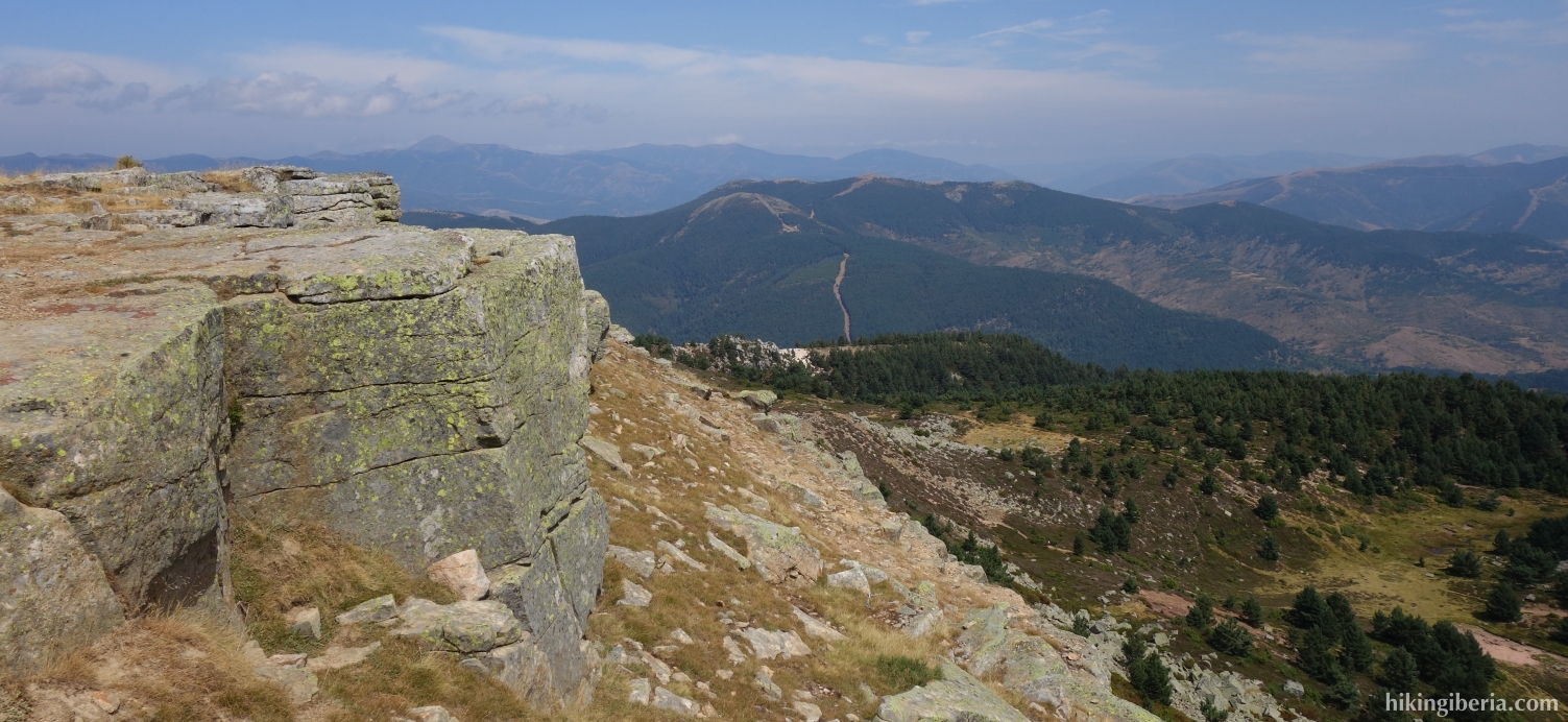
- From here we go to the right and follow the trail over the ridge above both lakes that takes us in half an hour to the top of the Campiña (9).
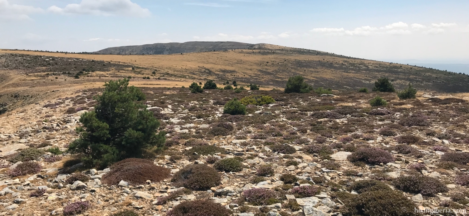
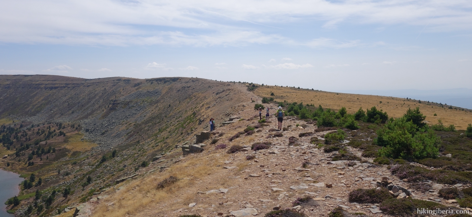
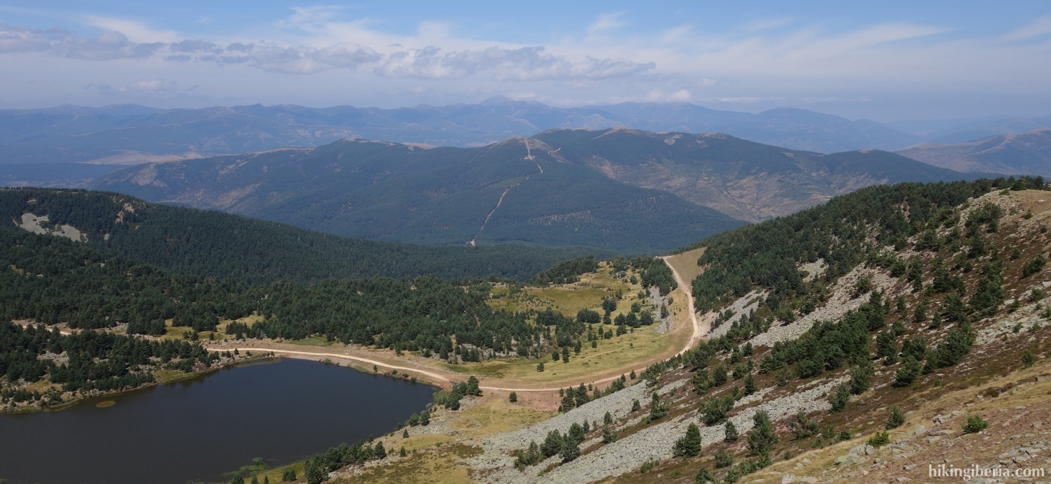
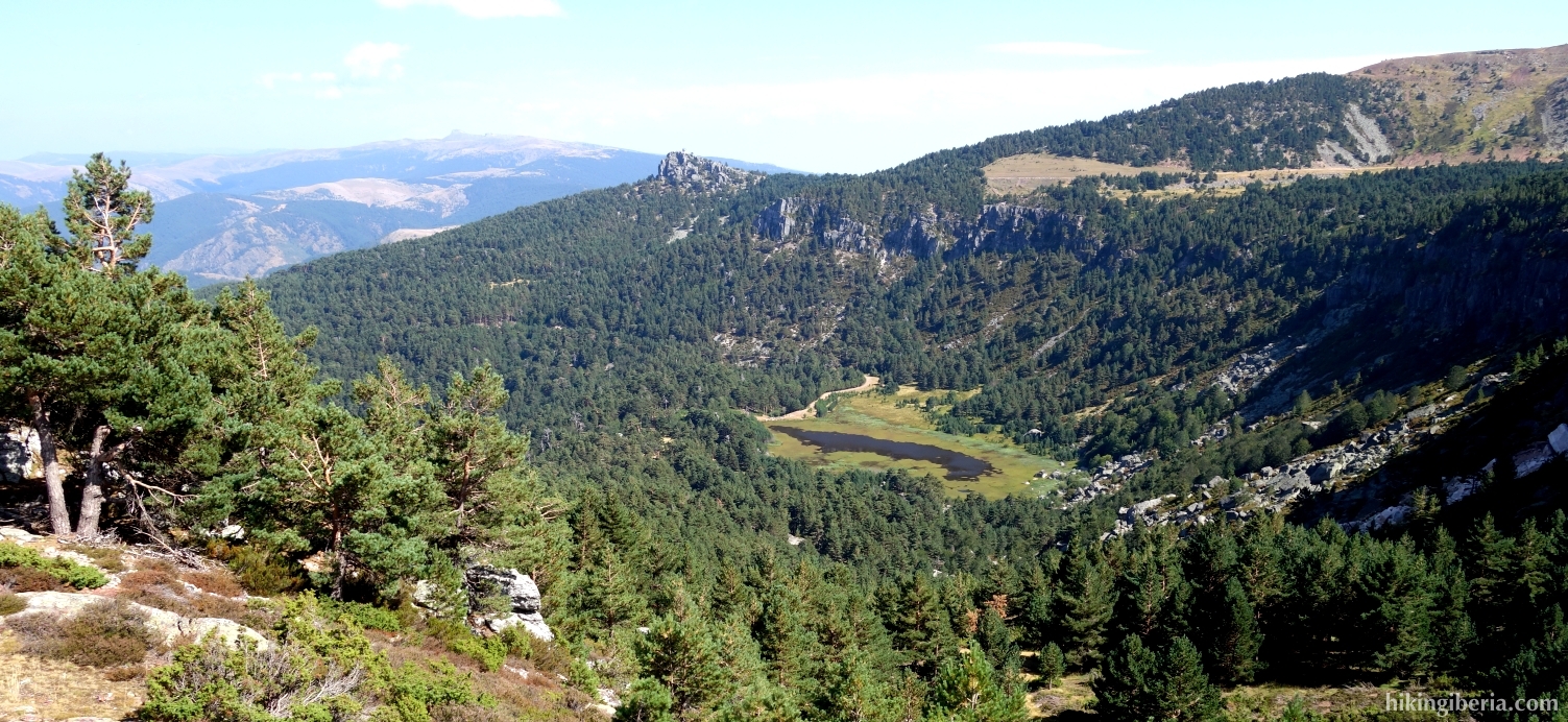
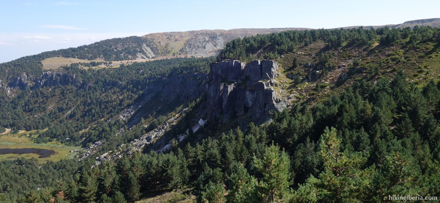
- From the top we further follow the trail from where we see the lakes Laguna de las Pardillas and Laguna de los Patos y Brava on our right side. The trail that is marked white-yellow and with milestones descends slightly steeply and after about half an hour we end up on an asphalt road (10) where we turn left.
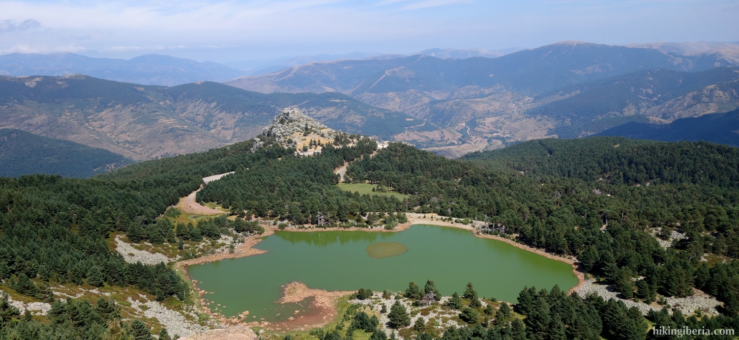
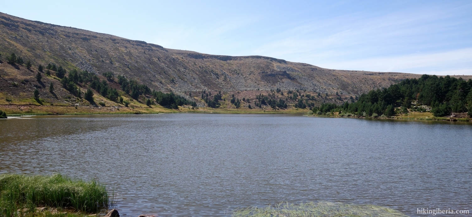
- Through this path we first walk past the Laguna Larga (11) and then the Laguna Negra (12). At the end of the Laguna Negra we arrive at a fork (13) and we keep to the right and climb a bit. After about 5-10 minutes at the top of this trail we get to a pile of milestones (14) and go straight ahead.
- After 15 minutes at a crossing with signposts (15) we go left and follow the PRC-BU-203, Sendero de las Lagunas / Senda de los Tejos. This path runs downhill via a fire break. After about 15 minutes, the PRC-BU-203 (white-yellow marking) goes to the right (16) to the Laguna de la Cascada. However, we go straight ahead and stay on the fire break.
- About five minutes later we follow the fire break to the left (17) and again about five minutes later we come out on a dirt road (18) where we turn left.
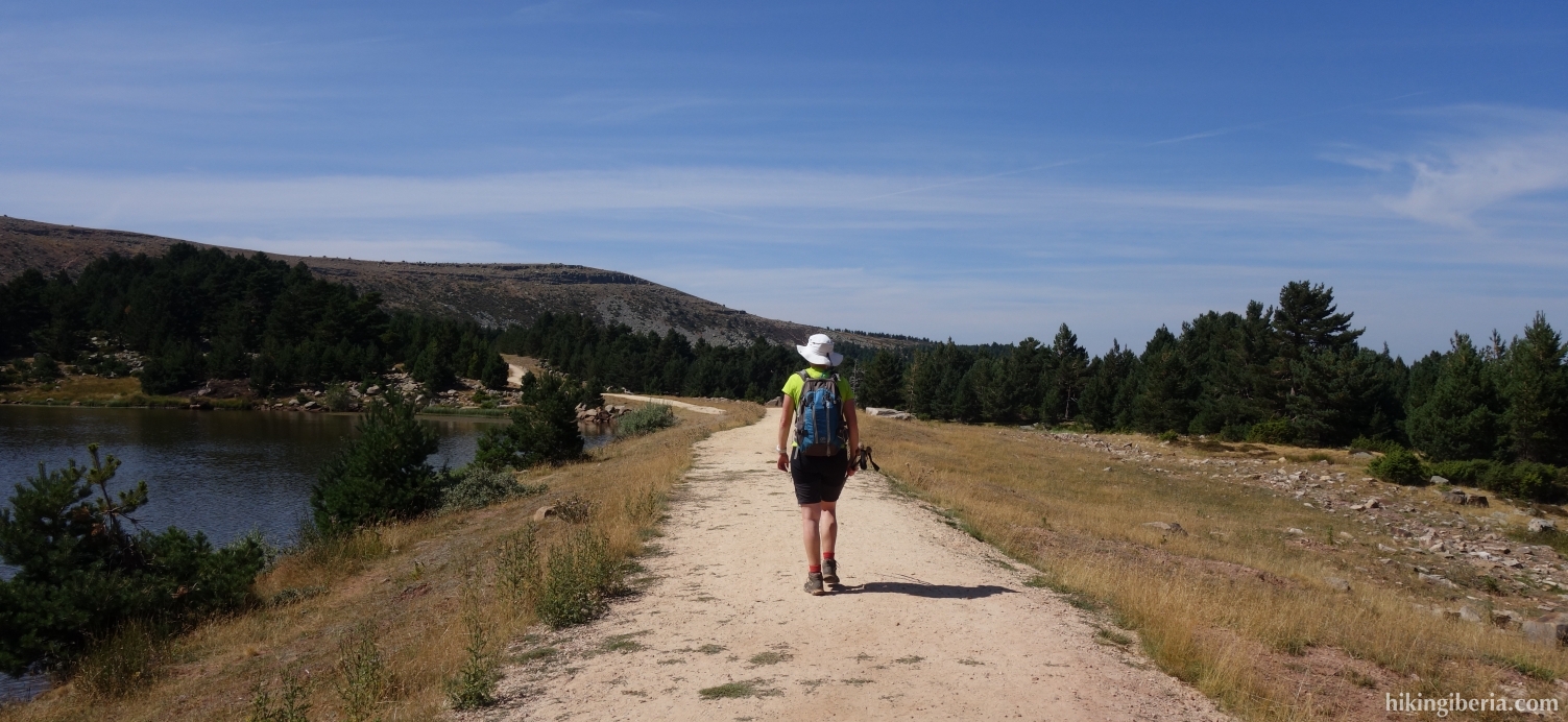
- We follow this dirt road for over half an hour and end up at a picnic area (19) near the road that we took by car. Thus we turn left for a short stretch along the road and walk back to the car (1).