NL
NL  IT
IT  DE
DE  ES
ES  EN
EN 
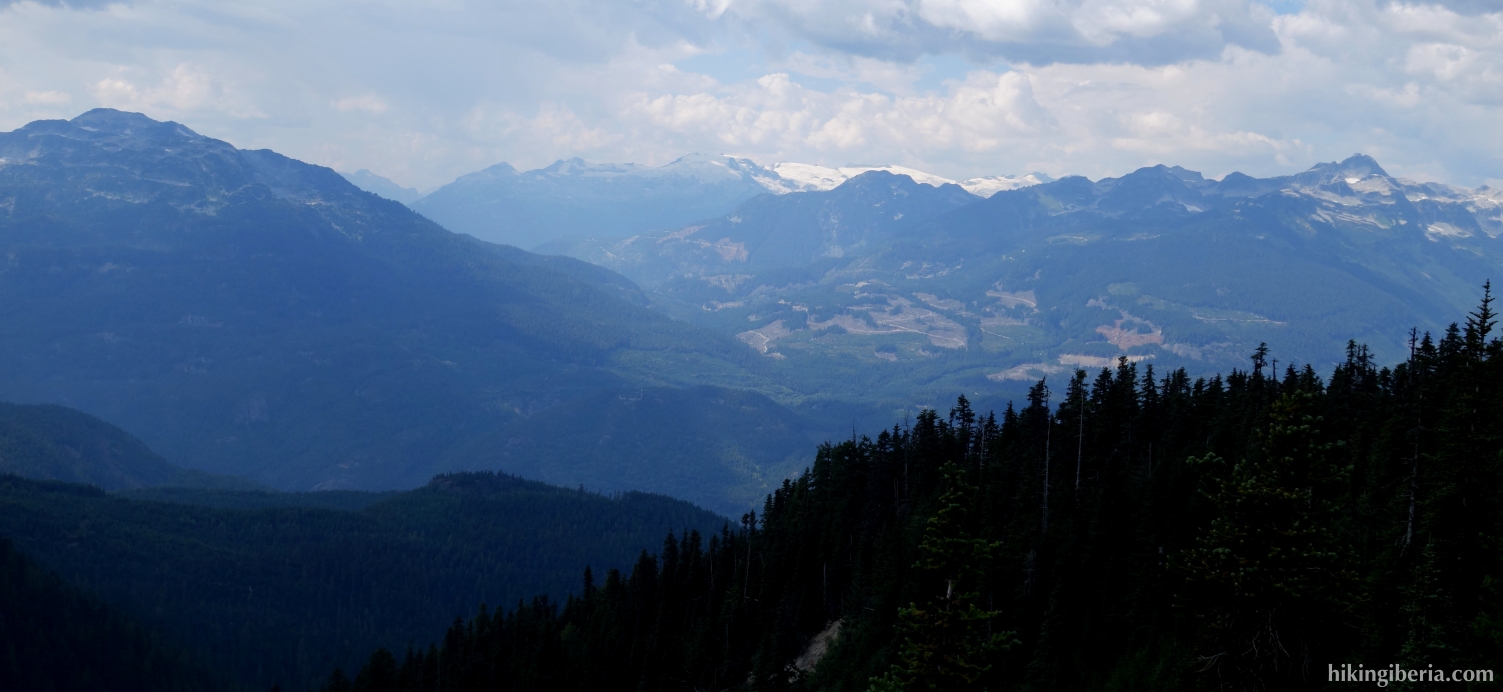
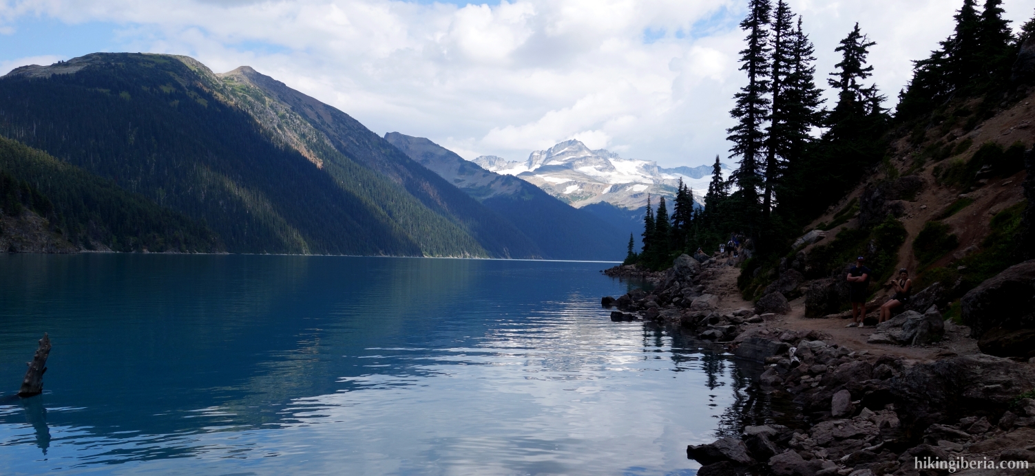
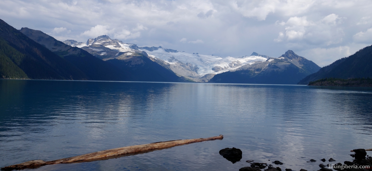
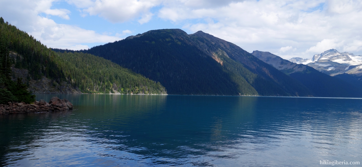
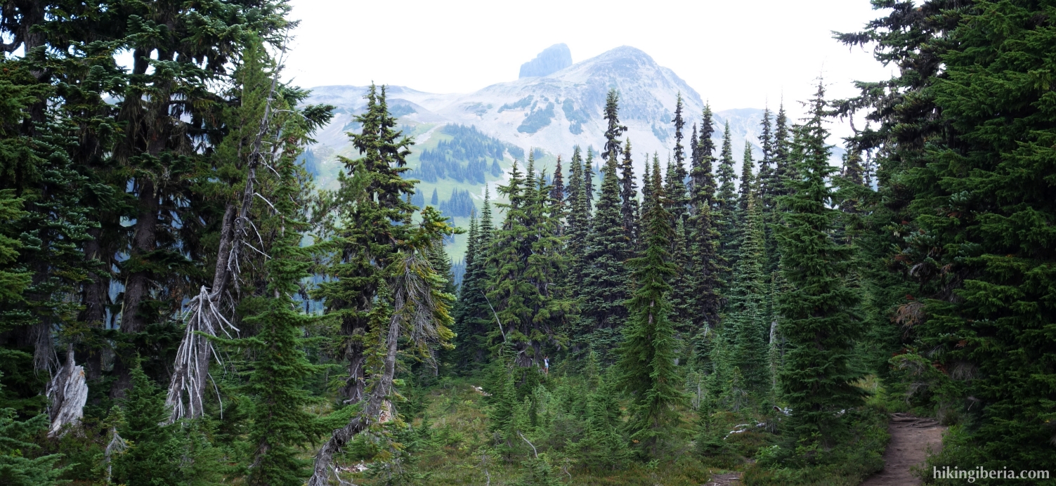
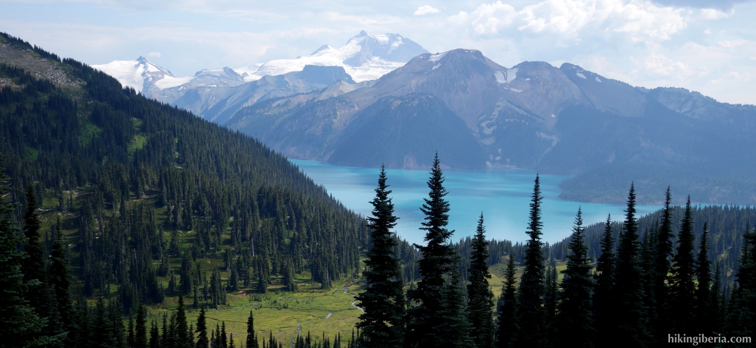
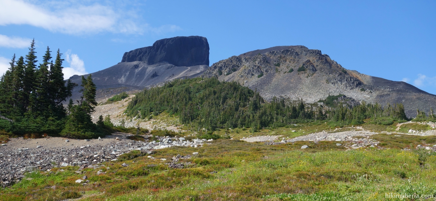
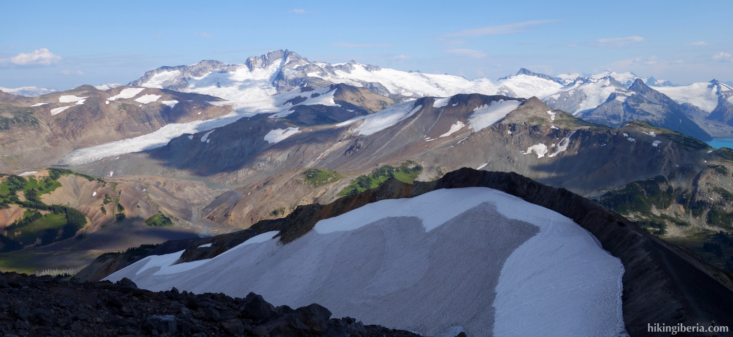
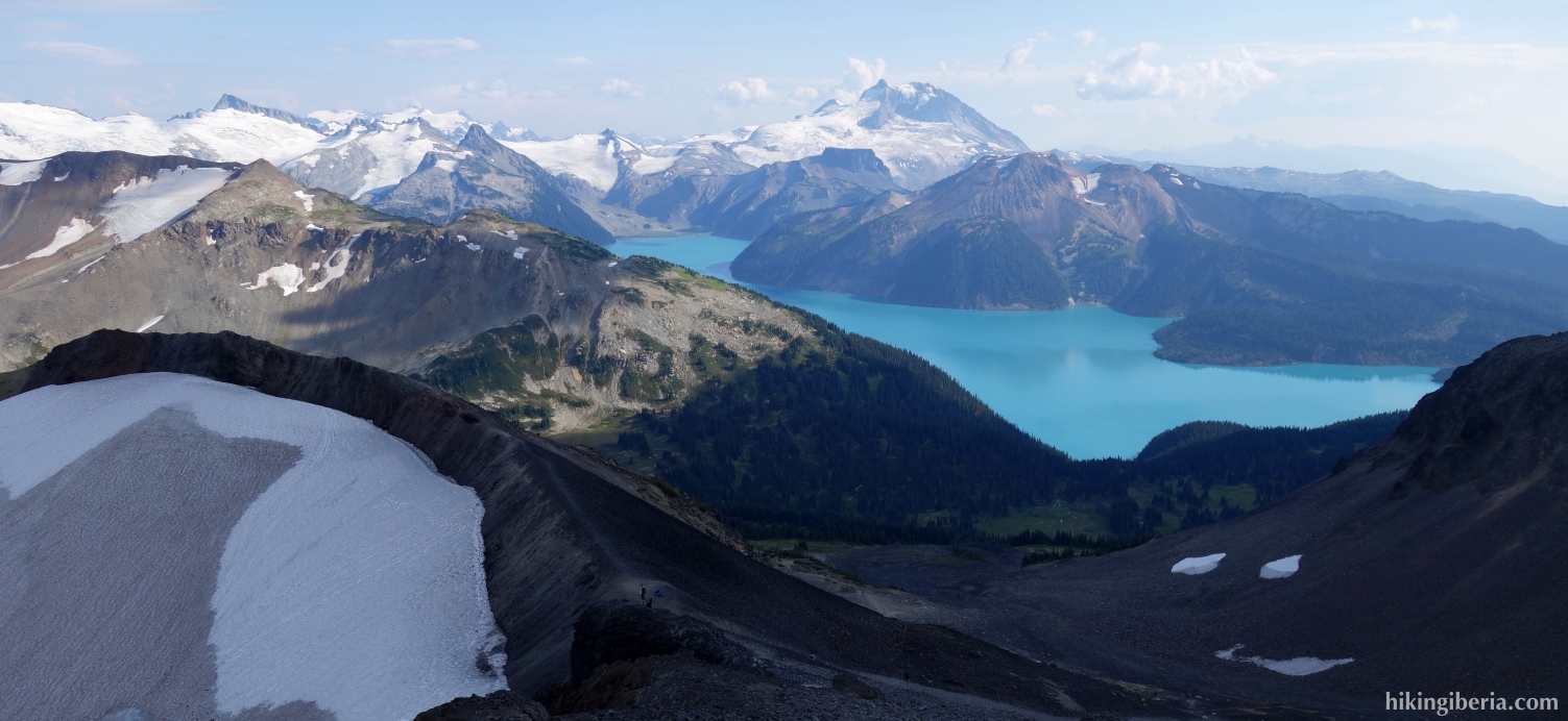
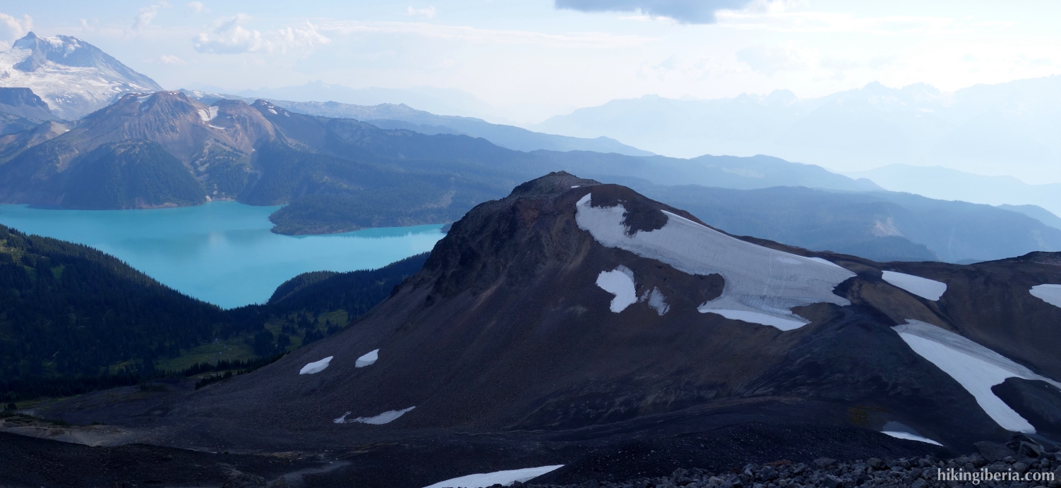
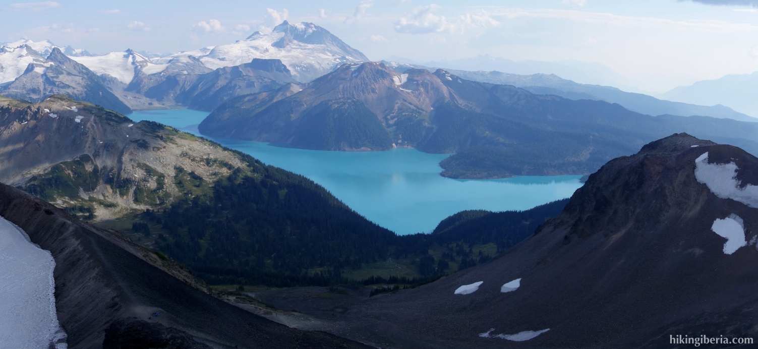
This hike in the heart of Garibaldi Provincial Park in the Canadian province of British Columbia is of an unprecedented beauty. The first part of the hike, very popular among both locals and tourists, takes us to the Garibaldi Lake, a lake that lies beautifully surrounded by a magnificent landscape. During the second part of the hike we walk up to below the Black Tusk, an odd volcanic black rock at about 2,300 metres. The view we have from the ridge below the Black Tusk on the Garibaldi Lake and the surrounding snowy landscape is breathtaking.
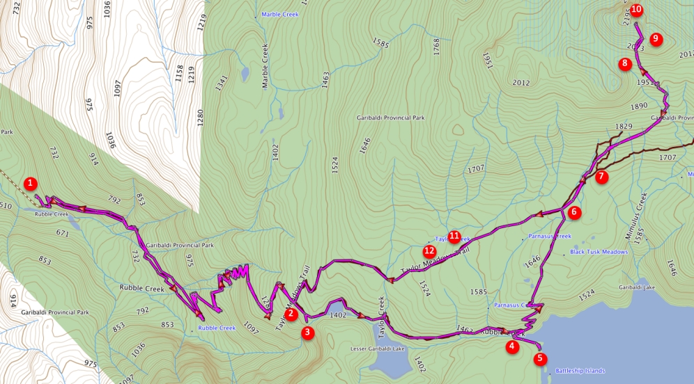
- The trail to the Garibaldi Lake starts at the highest point of the car park, clearly marked by an information panel (1).
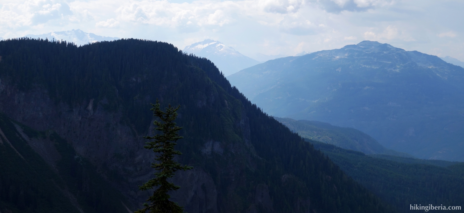
- Through this trail we ascend the entire time until we at over 1,300 metres reach a fork (2). To the left it goes to Taylor Meadows, but we turn right further to the Garibaldi Lake.
- A little further to the right there is a trail (3) to a viewpoint a few dozen meters away, which is very worth walking to.
- We reach a fork (4) where straight on / to the left the Black Tusk Viewing Point is signposted (5.5 km.). We now first turn right to the Garibaldi Lake / Ranger Station.
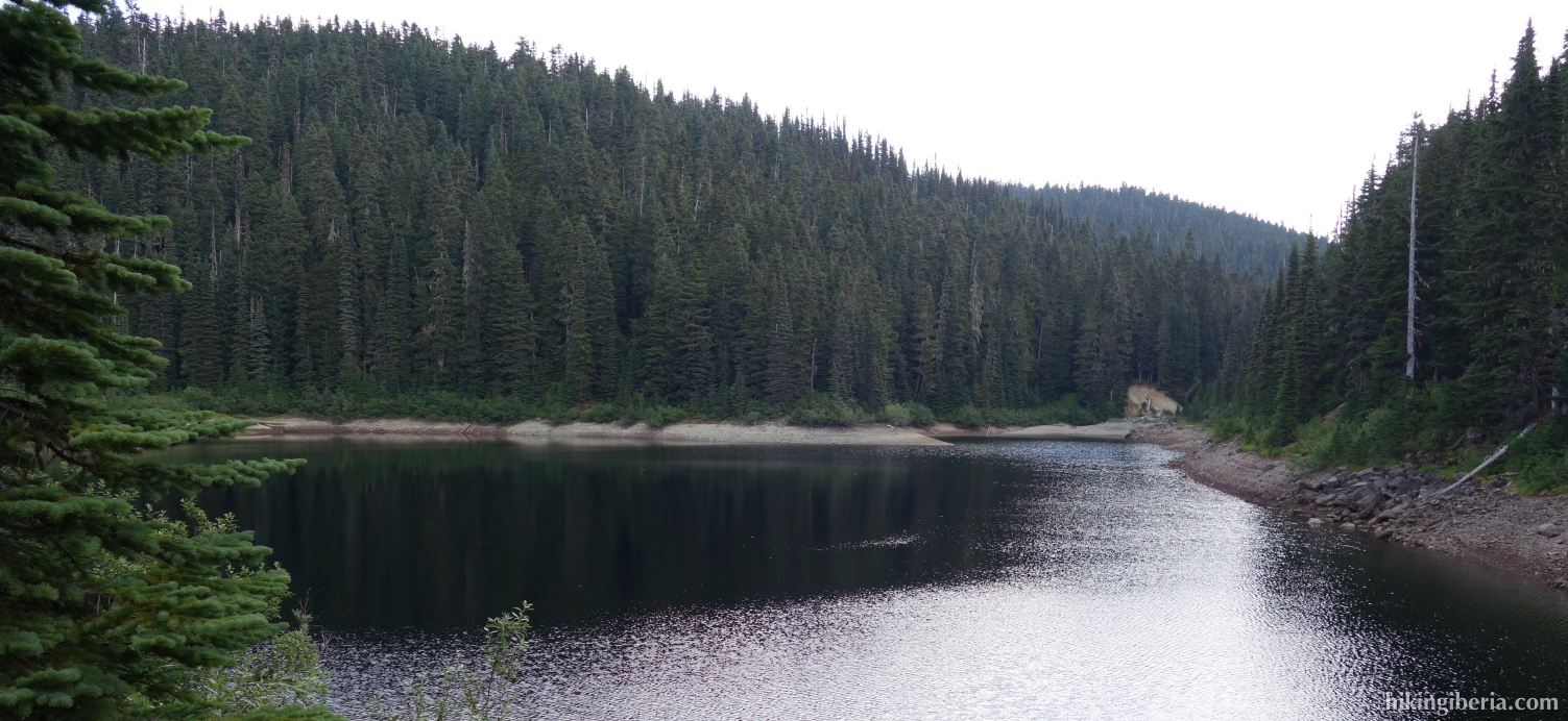
- We follow this trail along the Garibaldi Lake until we cannot go any further (5). Throughout this path we have a fantastic view on the lake.
- We follow this path back to the previous junction (4) where we now turn right towards the Black Tusk Viewing Point.
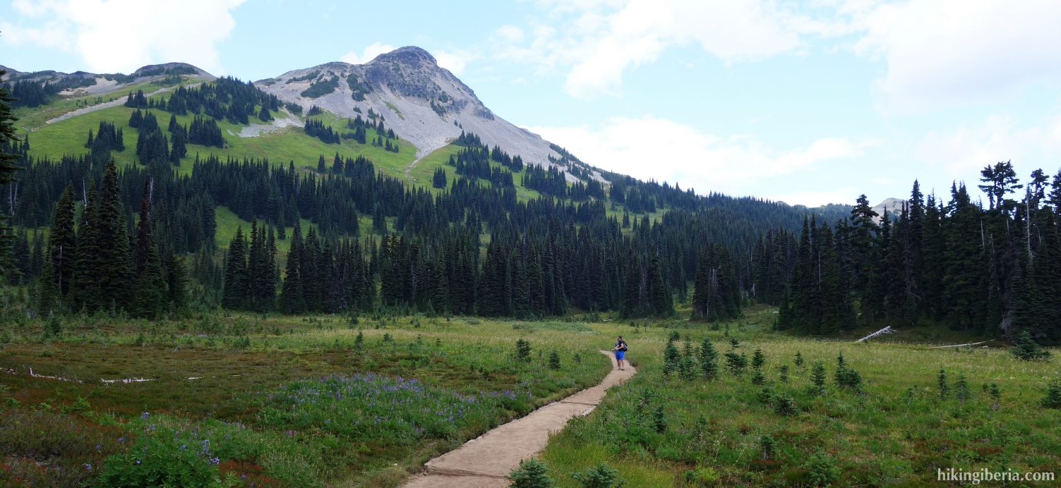
- We follow this path for a long time up until we reach a junction, the Black Tusk Junction (6), where we keep right towards "Black Tusk 3.5 km ."
- We follow this path through a flat open field until a junction with a signpost saying "Black Tusk Viewpoint 3 km." (7) where we follow this sign and thus turn left and ascend again.
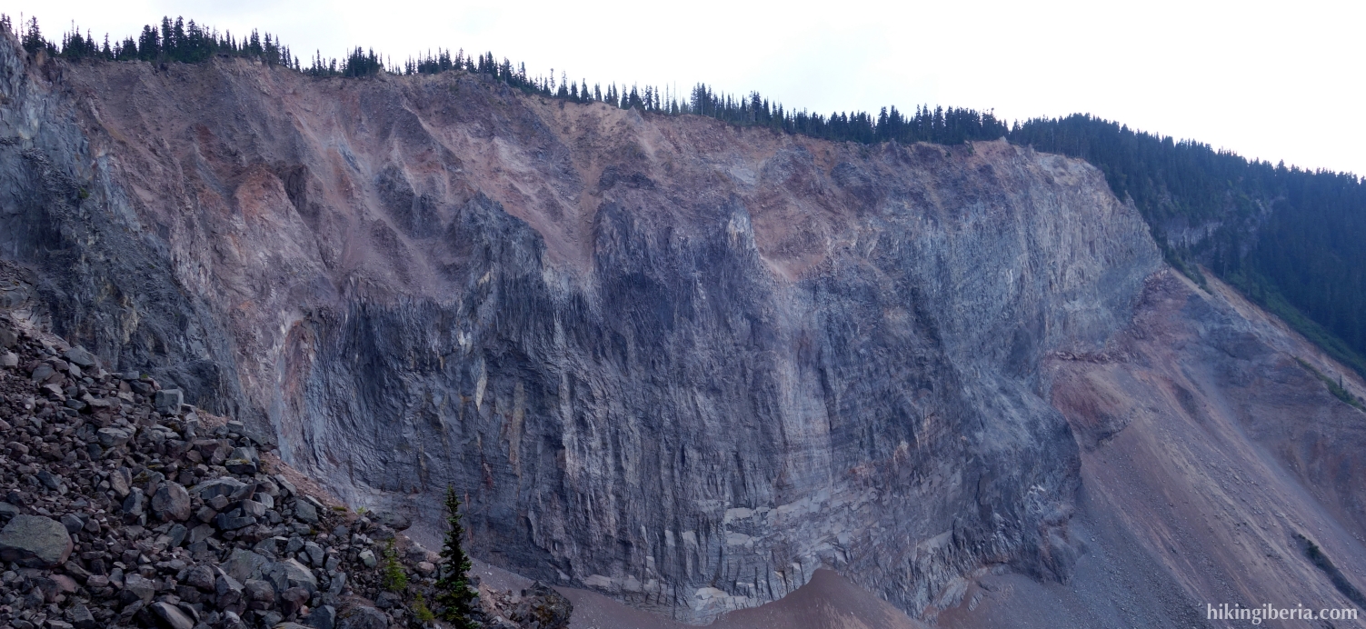
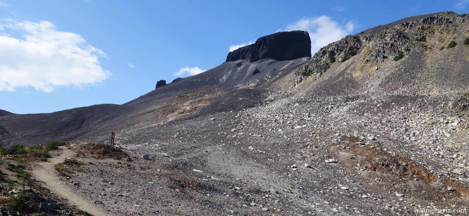
- We arrive at a sign indicating that the path ends here and that it is not recommended to continue (8). Through the loose gravel we follow the route to the ridge below the Black Tusk, a somewhat difficult and steep climb.
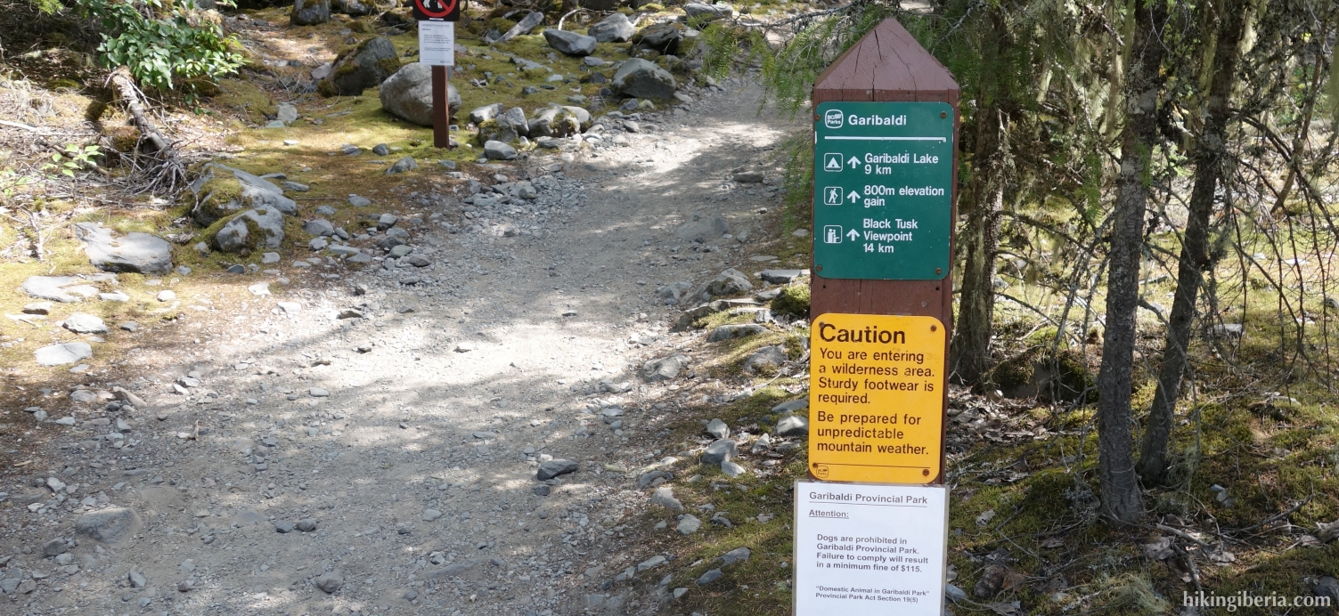
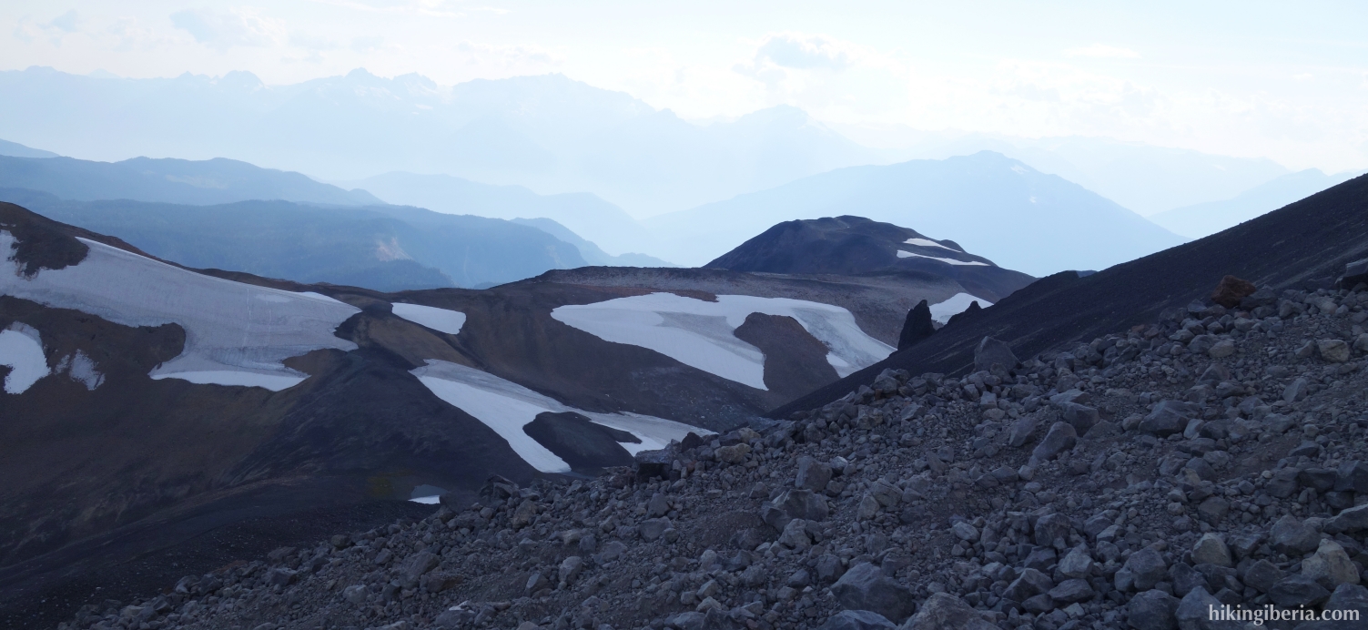
- Once we arrive at the crest (9) we turn left further over the ridge until below the Black Tusk (10), from where we have a truly breathtaking view.
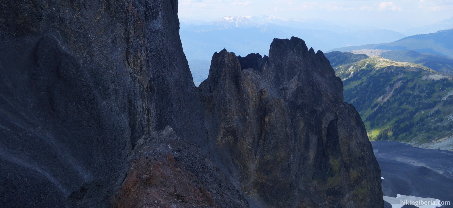
- The trail ends here. To the top of the Black Tusk still remains a climb of about 100 metres, recommended only for well-equipped and experienced climbers.
- From the Black Tusk we follow the same route back the first kilometres. At the junction with the sign saying "Black Tusk View Point 3 km." we thus turn right (7).
- Later we arrive again at the Black Tusk Junction (6), where we now turn right / go straight ahead in the direction "Parking Lot via Taylor Meadows " and thus do not follow the same route as on the way out.
- Further on we pass a small construction (11) where left you can go to the Garibaldi Lake, but we go straight ahead.
- A little further we pass the campground Taylor Meadows (12) where we go straight ahead.
- This path eventually ends up on the same path that we took on the way out to the Garibaldi Lake. At this fork (2) we now of course turn right, downhill.
- This trail we now follow back to the car park (1).