NL
NL  IT
IT  DE
DE  ES
ES  EN
EN 
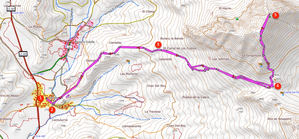
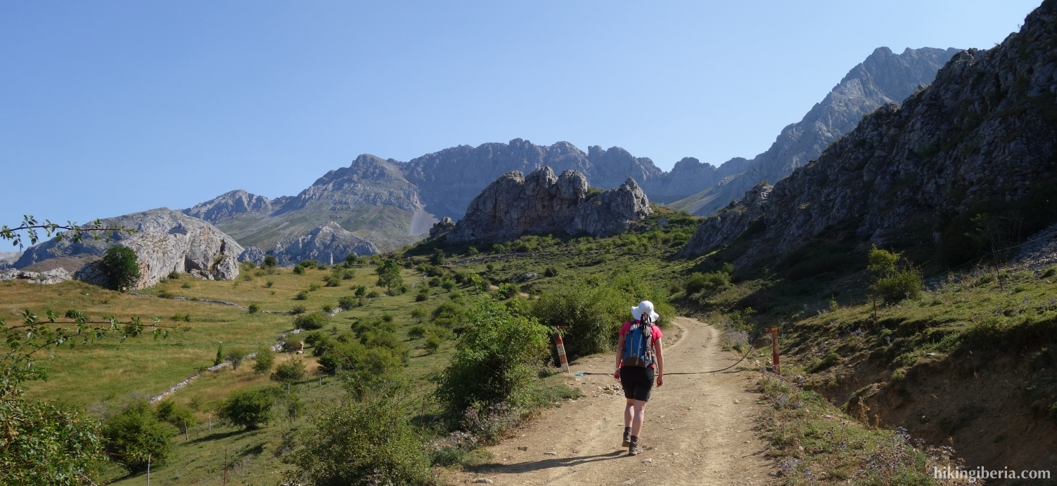
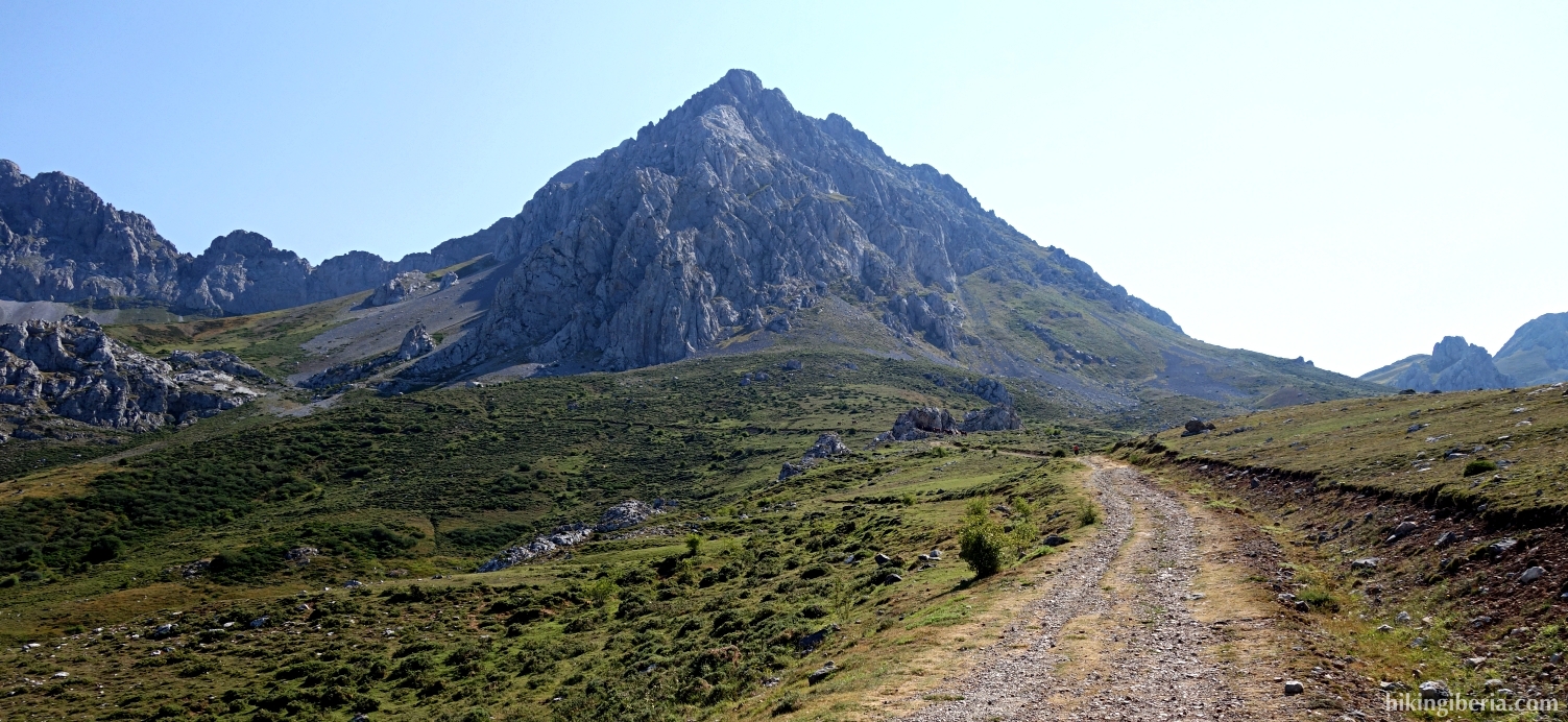
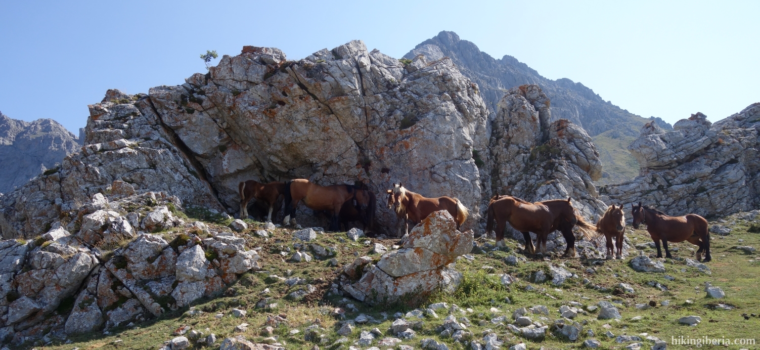
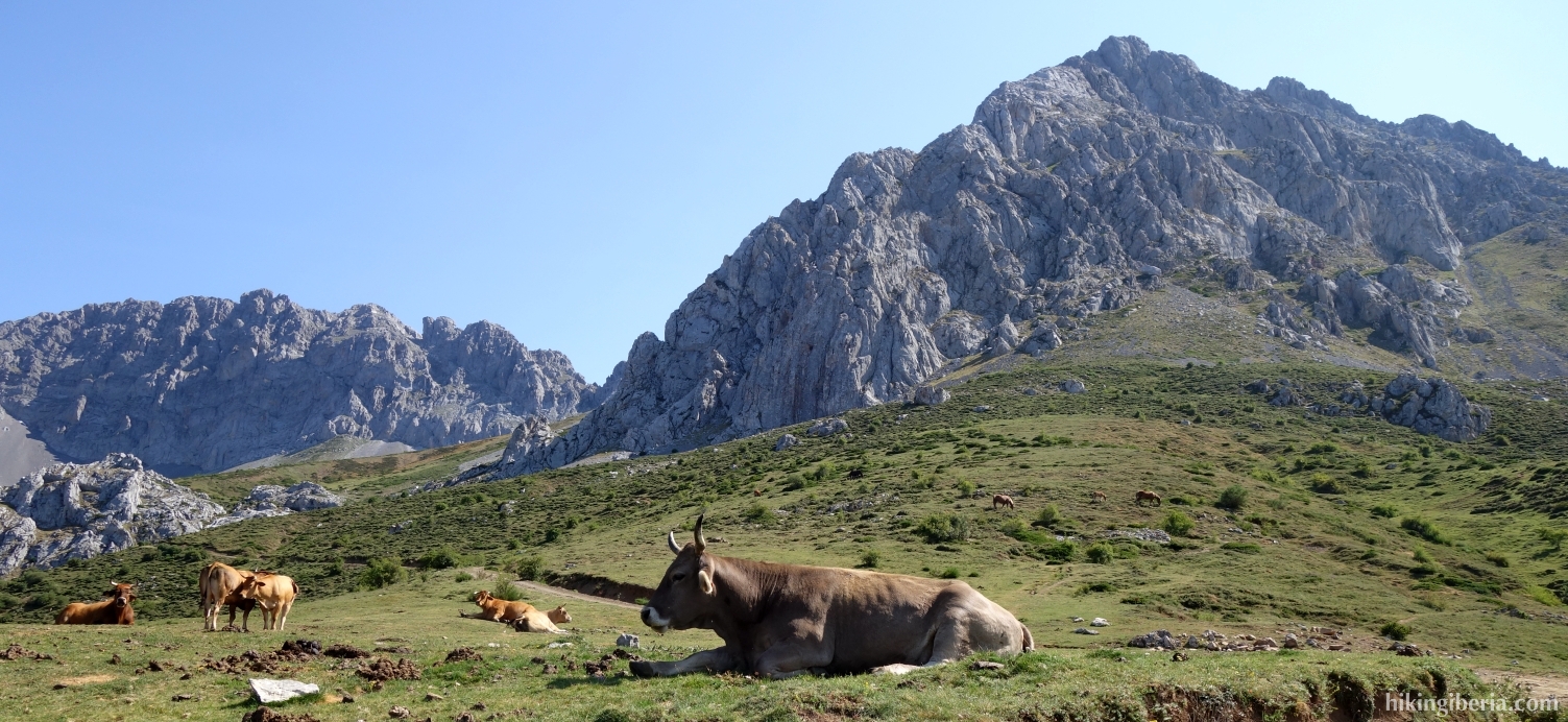
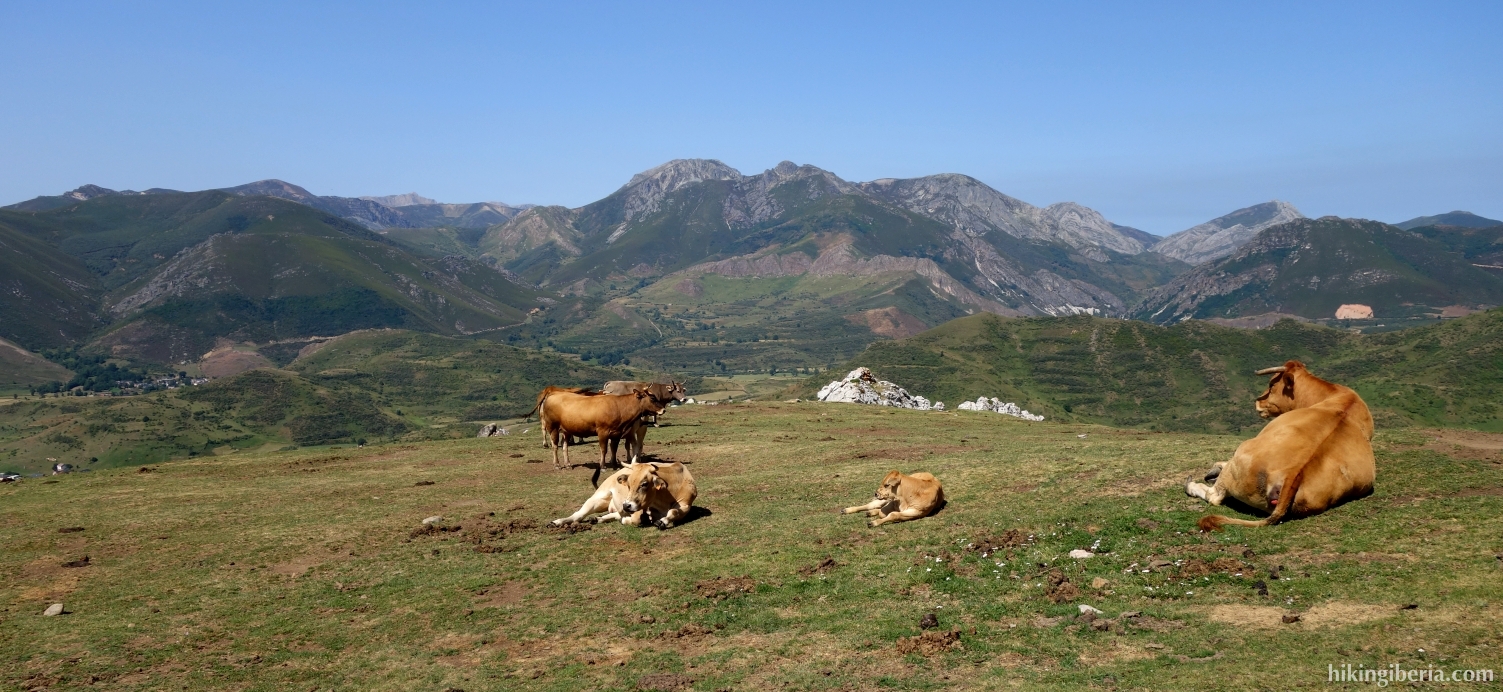
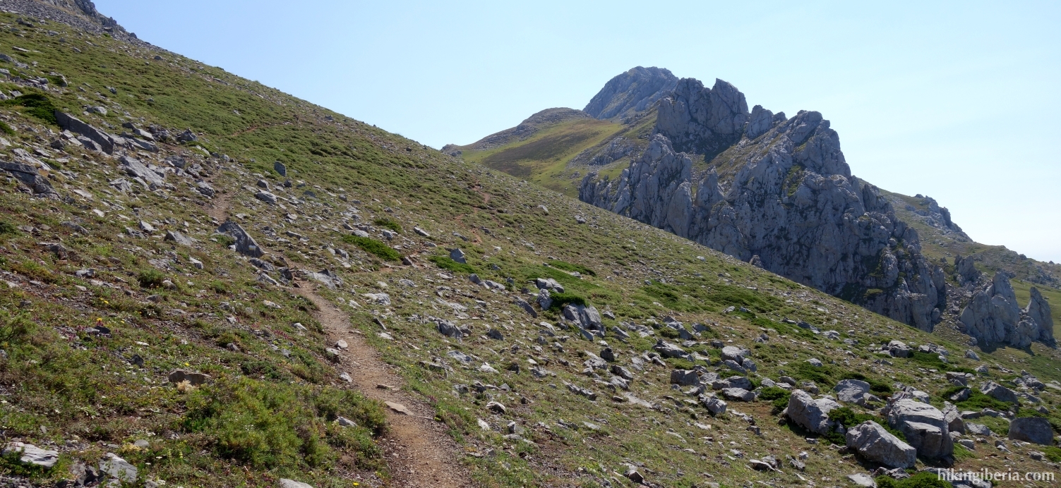
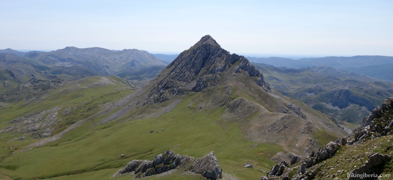
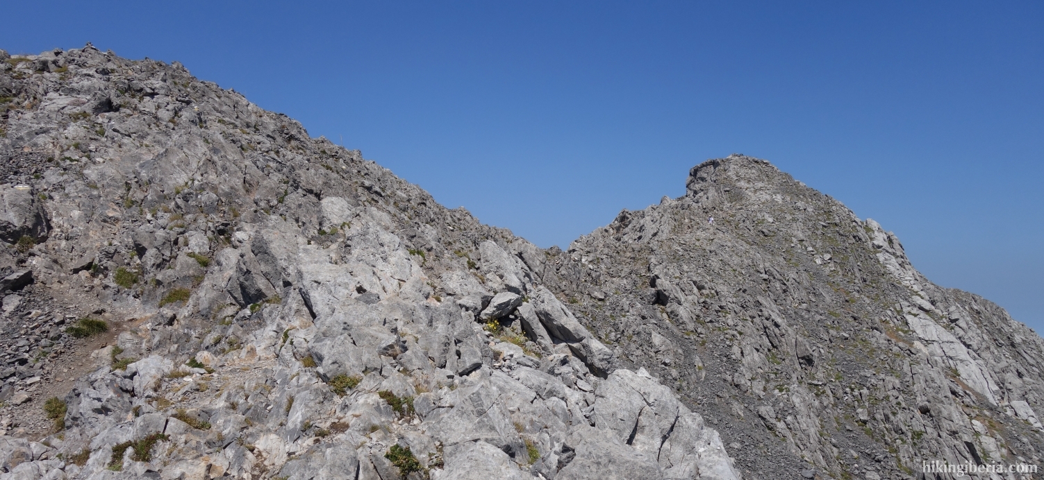
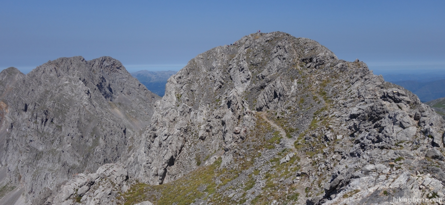
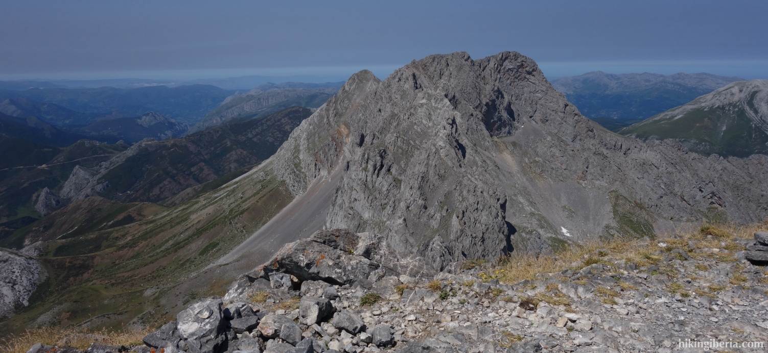
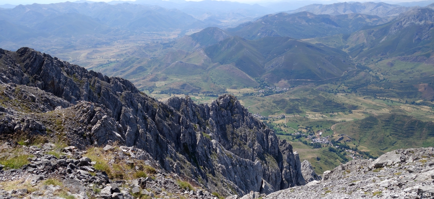
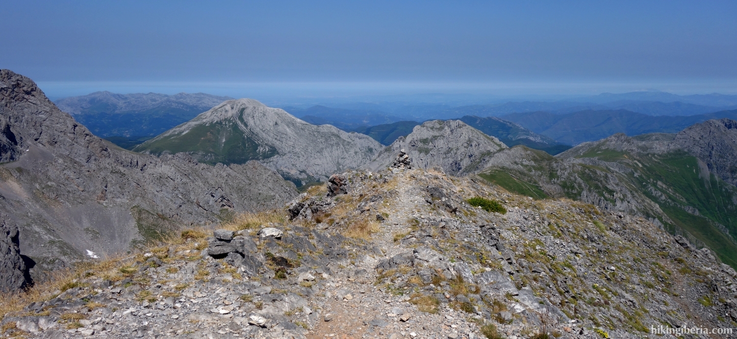
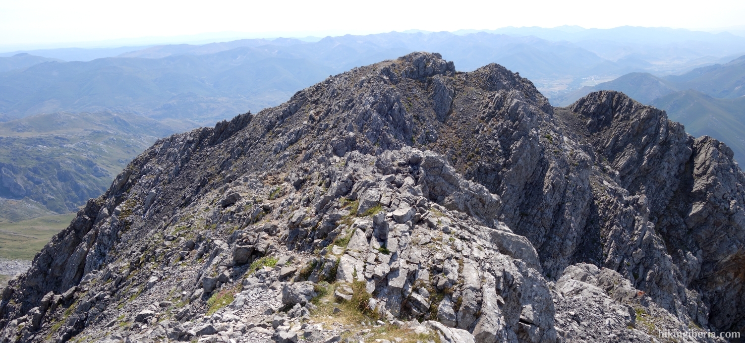
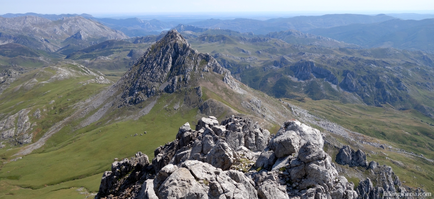
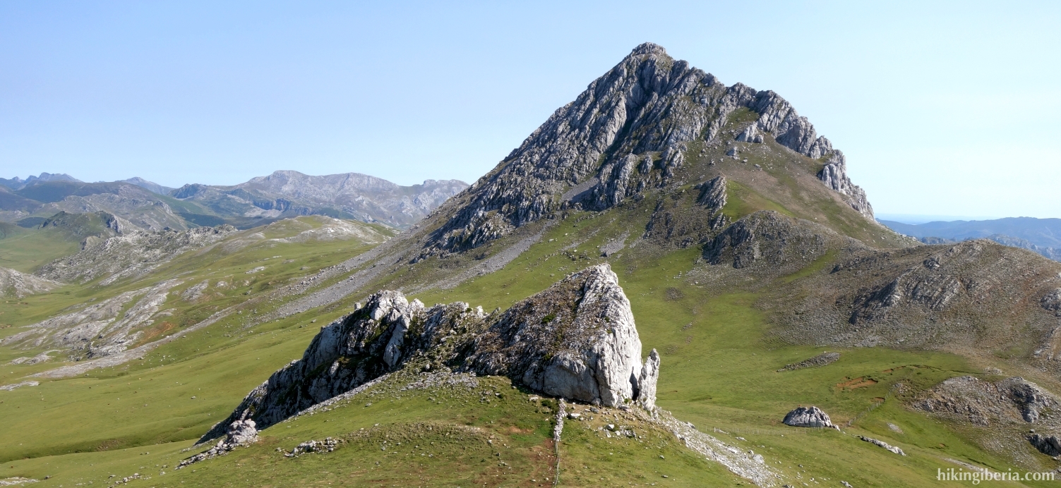
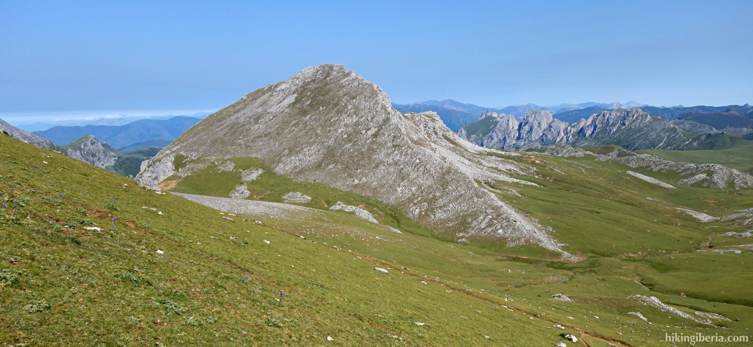
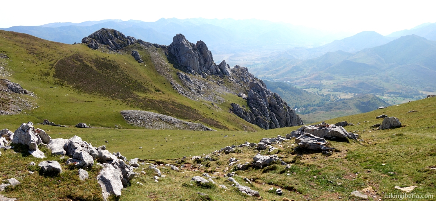
The ascent of the Peña Ubiña, on the border between León and Asturias, is one of the classics in the Cantabrian Mountains. During much of the hike we find ourselves in a rugged and rocky mountain range, one of the most spectacular areas of the Cantabrian Mountains. The views from the top, just above 2,400 meters, are breathtaking. The route to the top is well marked but not recommended with rain, fog or snow, because in poor conditions many lose the orientation here with all the dangers that it entails.


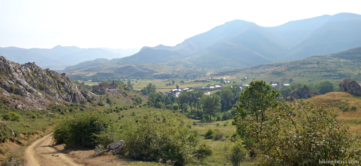
- Continue further on the Calle Casas Nuevas (1) past the well. Walk out of the village, cross a bridge and turn left (2), onto a white-yellow marked path.
- We follow this dirt road for about 45 minutes. The road turns to the left with a bend (3) but we leave the dirt road and go right onto a trail. Pay attention here to not miss this trail.
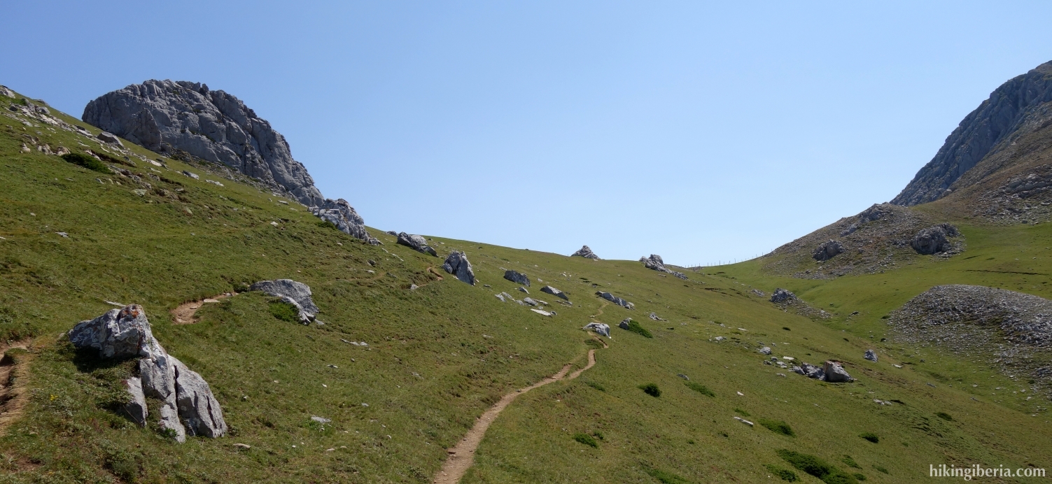
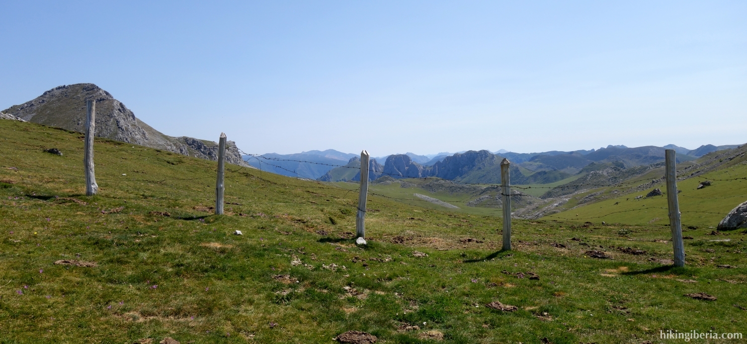
- We follow the white-yellow marking and milestones of this trail. After about 50 minutes we arrive at the pass Collado del Ronzón (4) where we keep left in a northerly direction, clearly towards the Peña Ubiña.
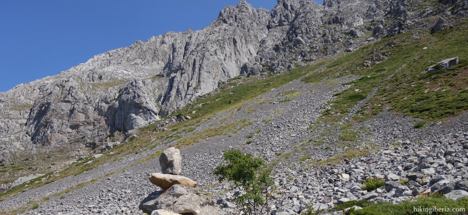
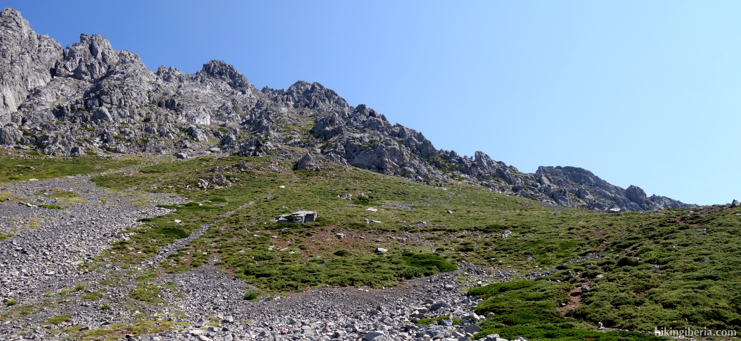
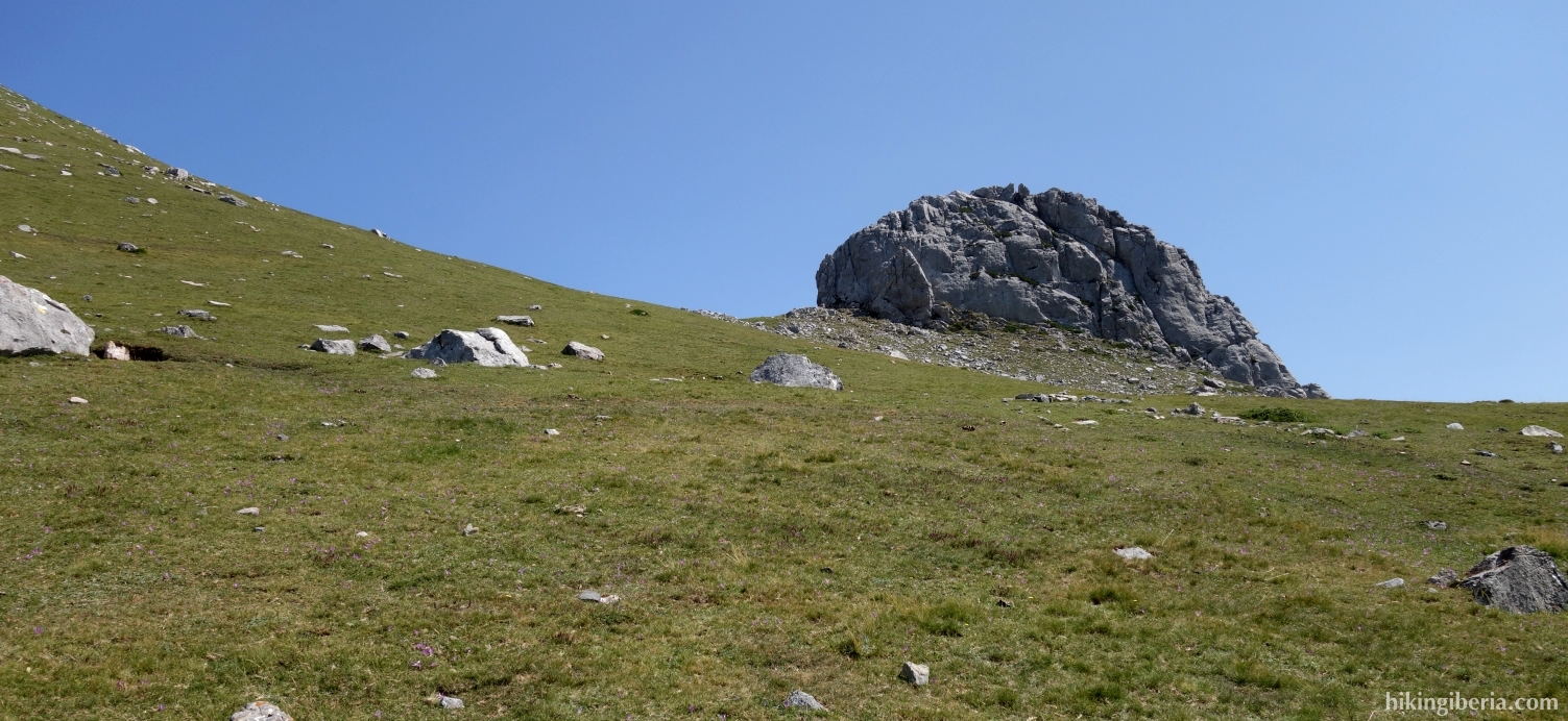
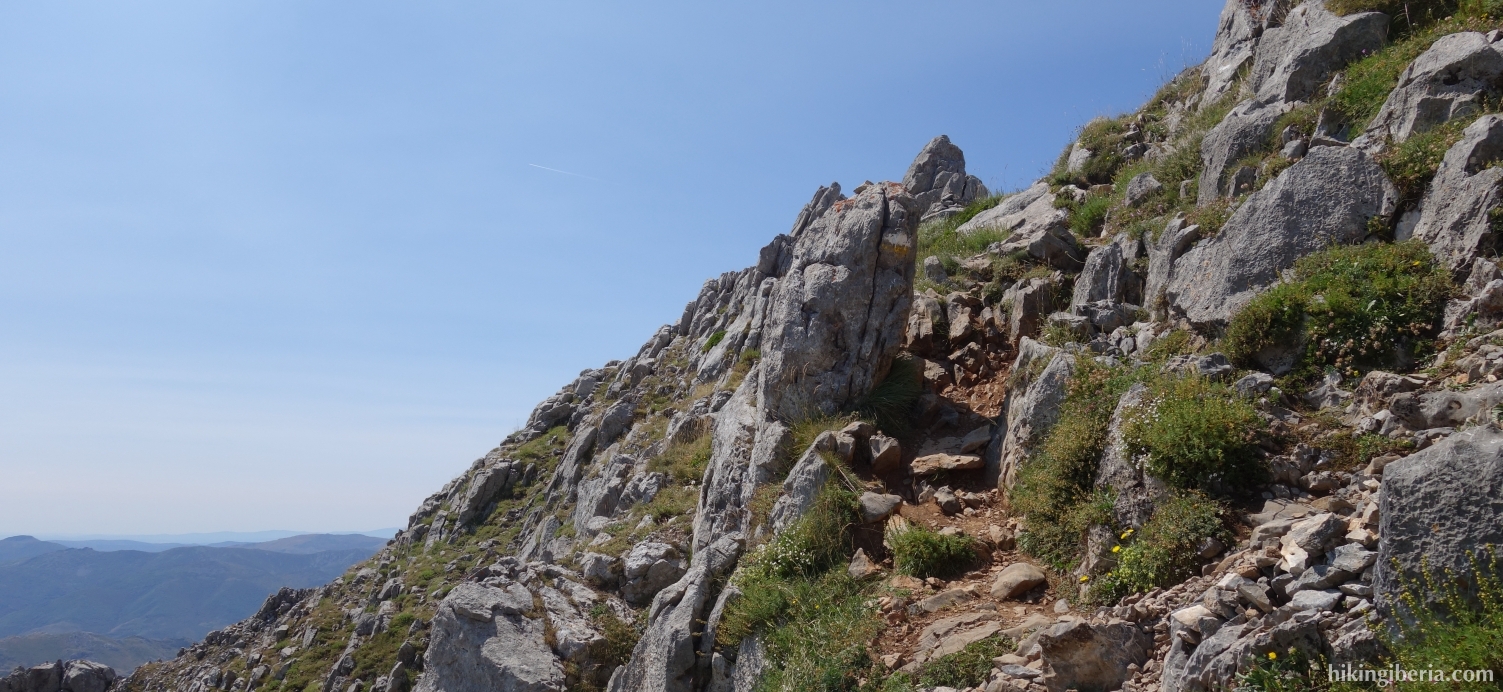
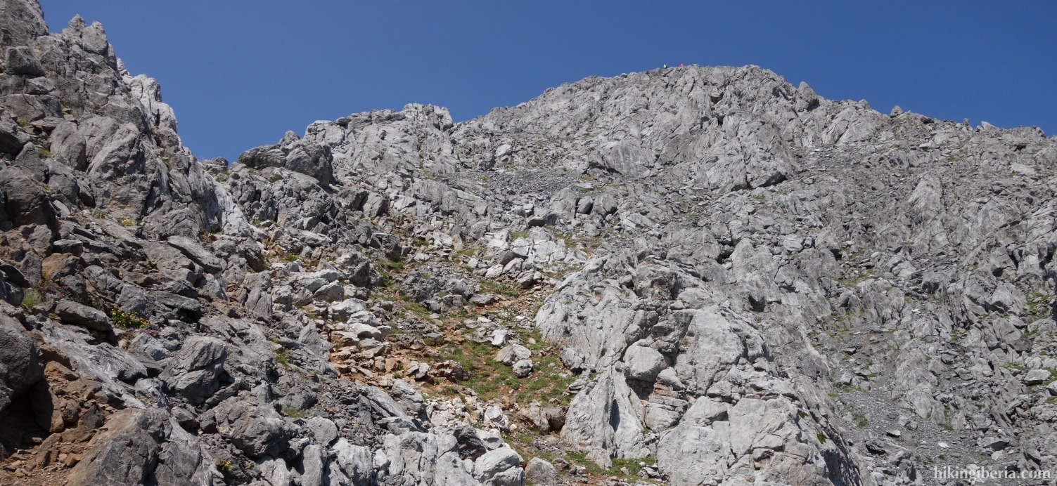
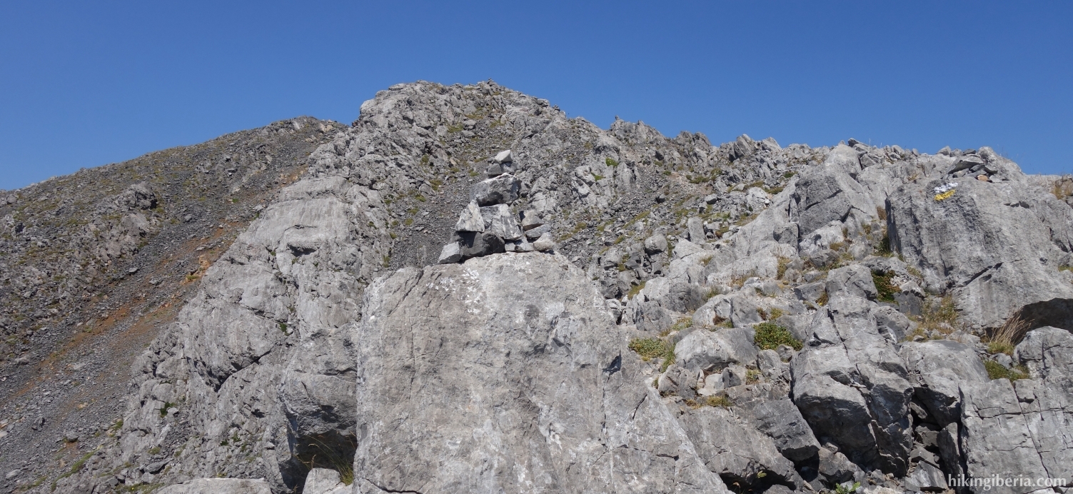
- From here we follow the white-yellow marking and the milestones. Follow these closely to avoid to unnecessarily complicate the route to the summit, as the route to the top runs through a steep and very rocky terrain. The route that is marked with milestones is really the best way to get there.
- In about an hour and a half from the Collado del Ronzón we reach the Peña Ubiña (5).
- The way back is via the same route.