NL
NL  IT
IT  DE
DE  ES
ES  EN
EN 
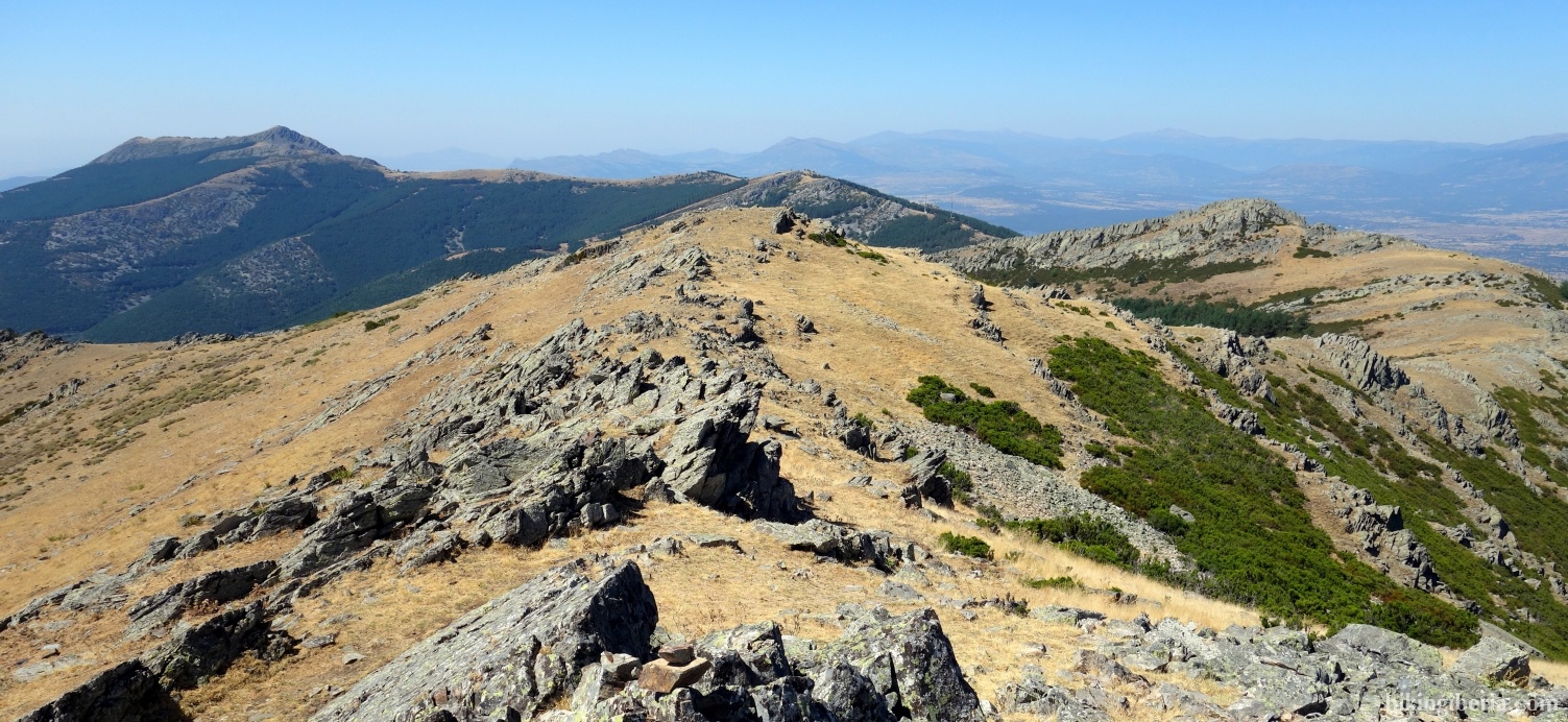
On this hike we visit several peaks in the eastern part of the Sierra Norte de Madrid, including the Porrejón and the Tornera. This part of the mountains is also considered part of the south of the Sierra de Ayllón which does not seem without reason, because the landscape has lots in common with it. The rocky, rugged ridge on which we walk during a large part of the hike, is strongly reminiscent of the rugged landscape of the Massif of Ayllón.
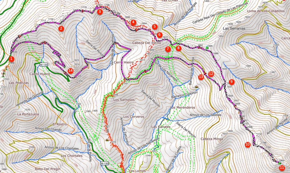
- On the Puerto de la Puebla (1) directly behind the parking lot - in the direction Puebla de la Sierra - lies right down the road a path uphill, that we enter up on the ridge. We ignore the path on our left towards the small building near the pass and follow the path to the right, further along the ridge.
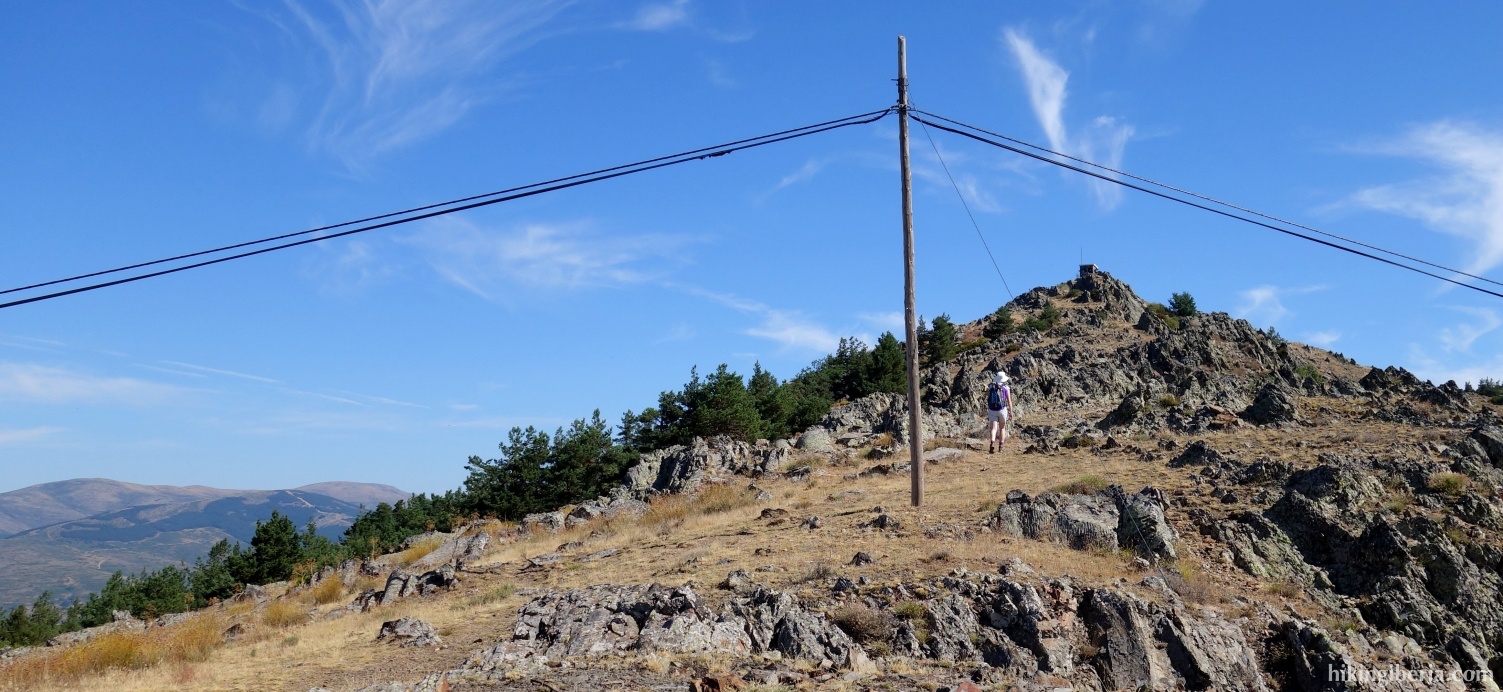
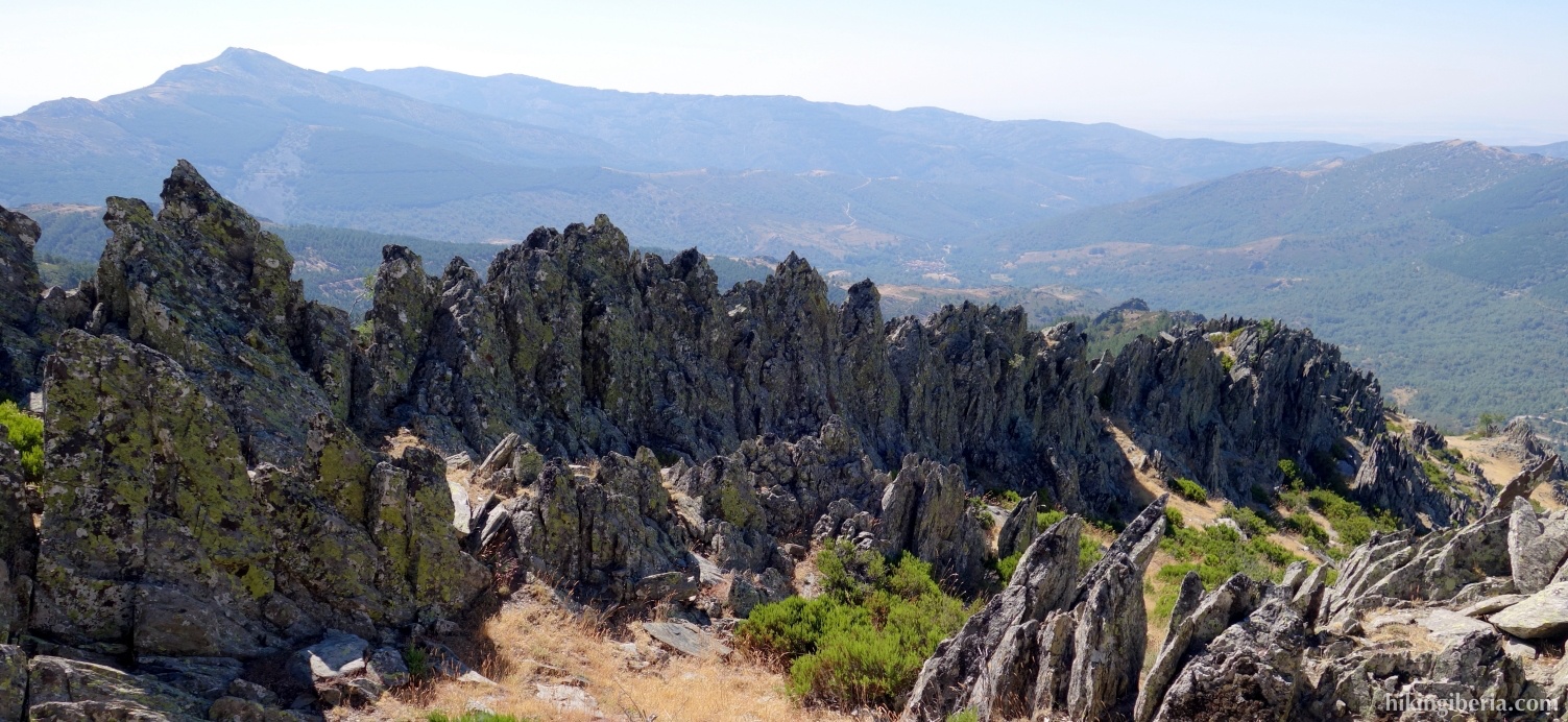
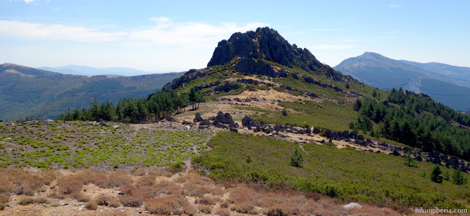
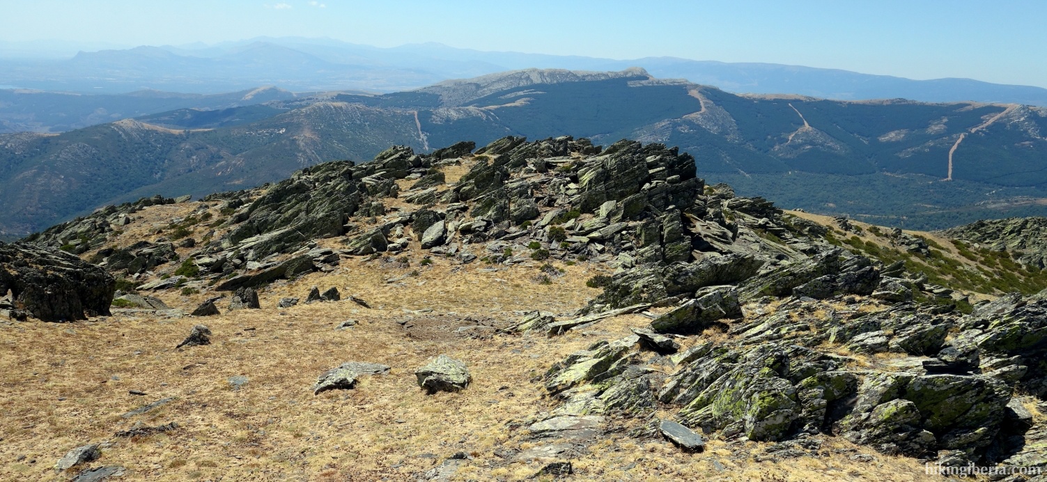
- We go over the Gustarllano, a first peak with spectacular rock formations (2). Behind it the path continues over the ridge.
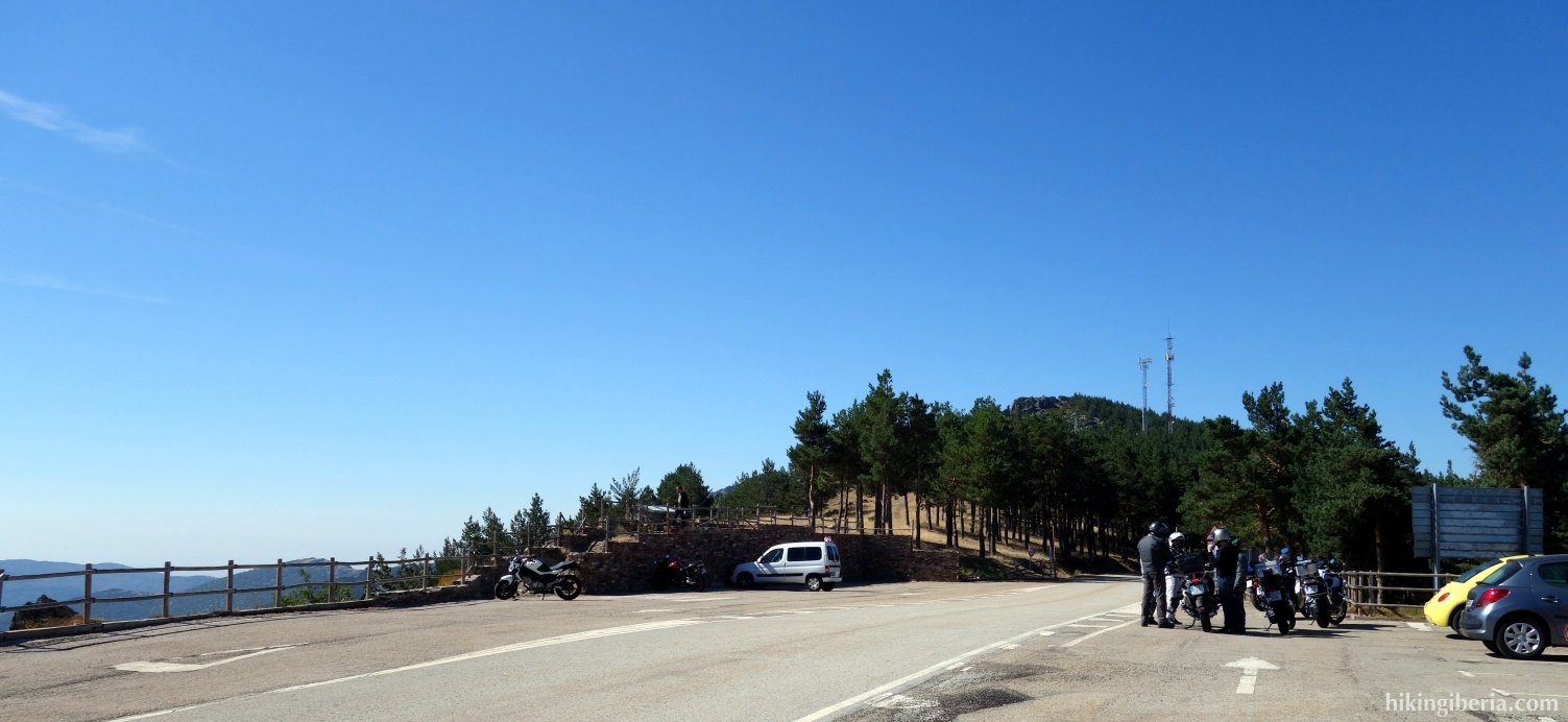
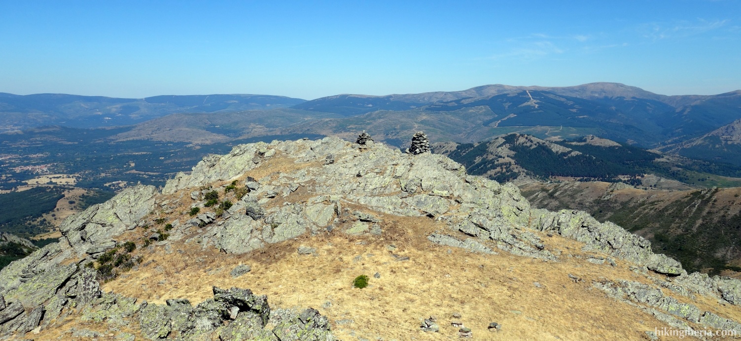
- We continue over the ridge and at some point see the post of the Porrejón in front of us. The trail continues on the right side of the peak, but it is obviously worth it to turn left for a short stretch and visit the top (3).
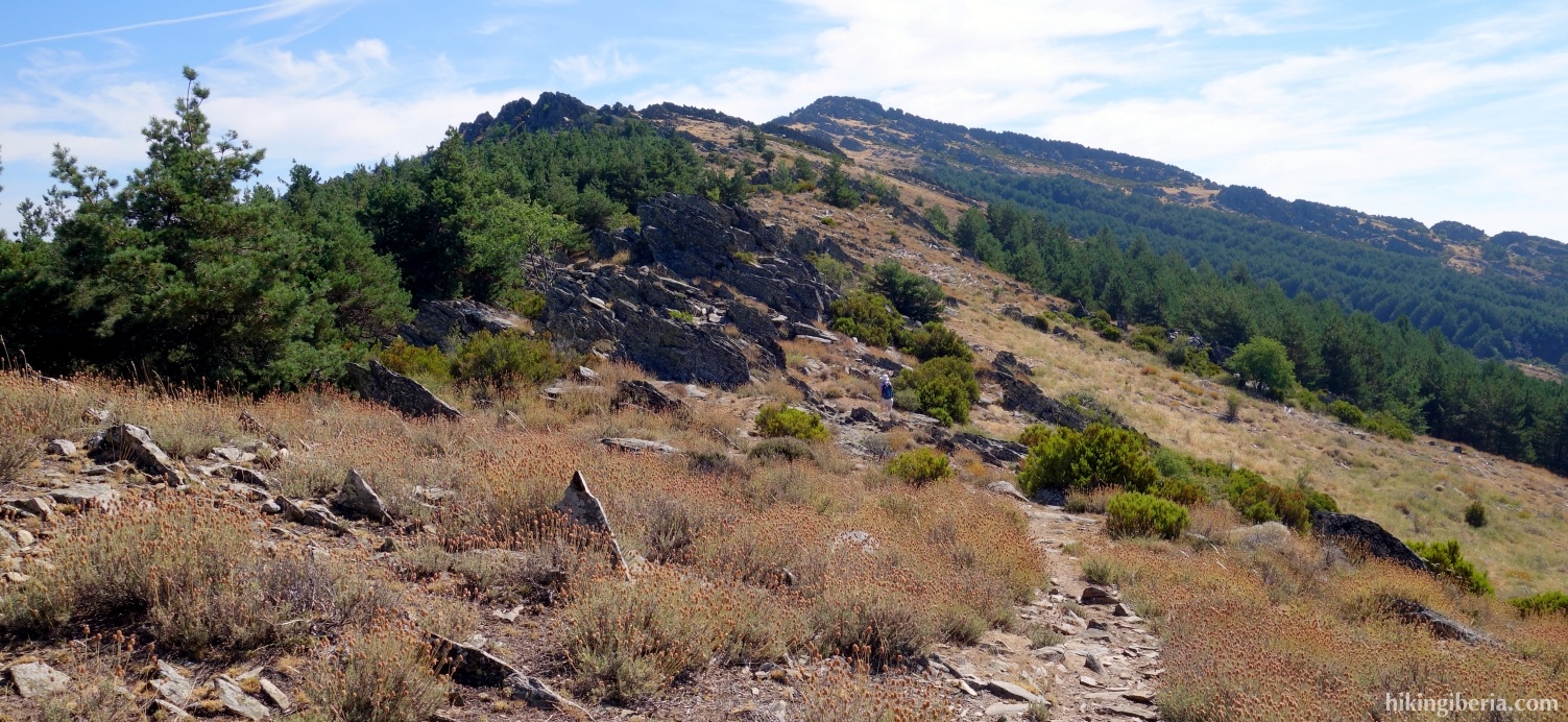
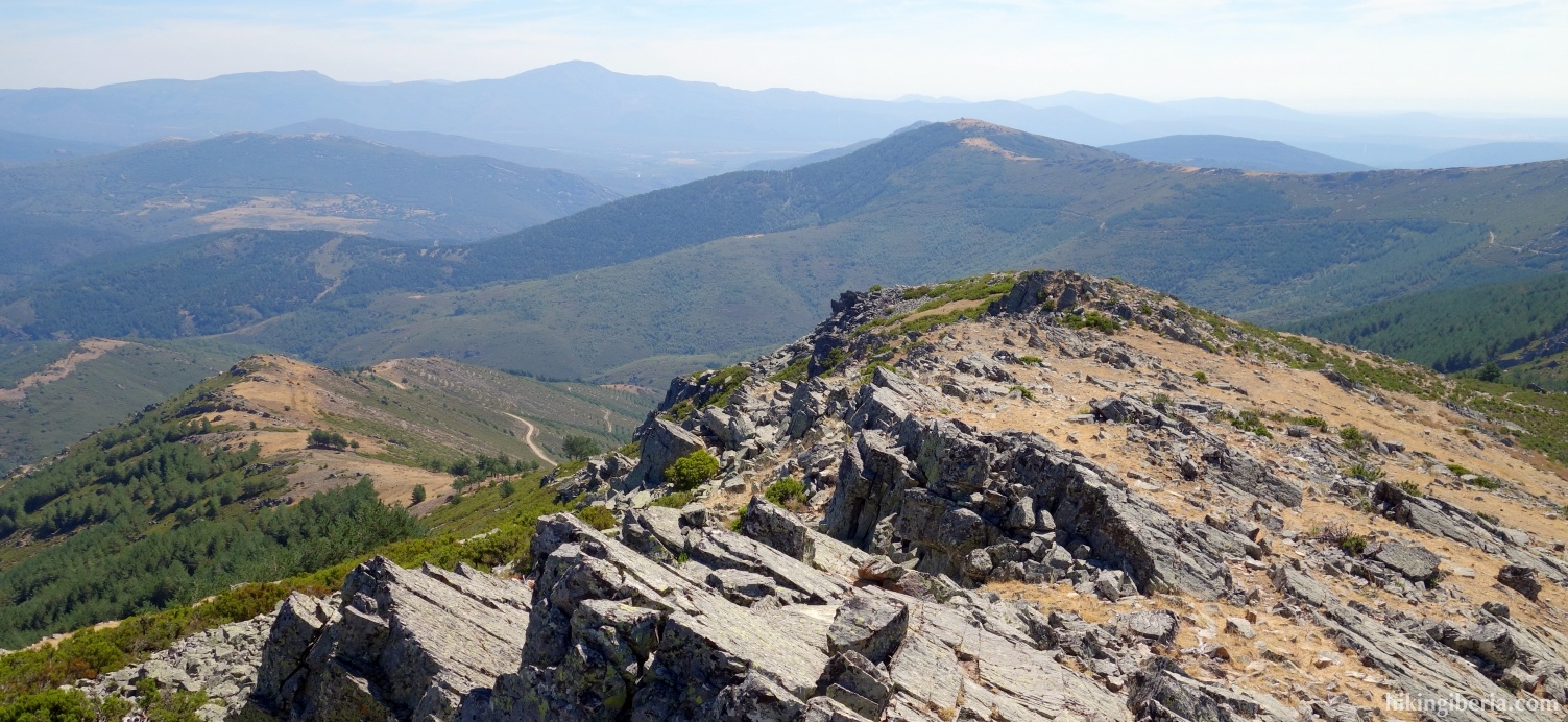
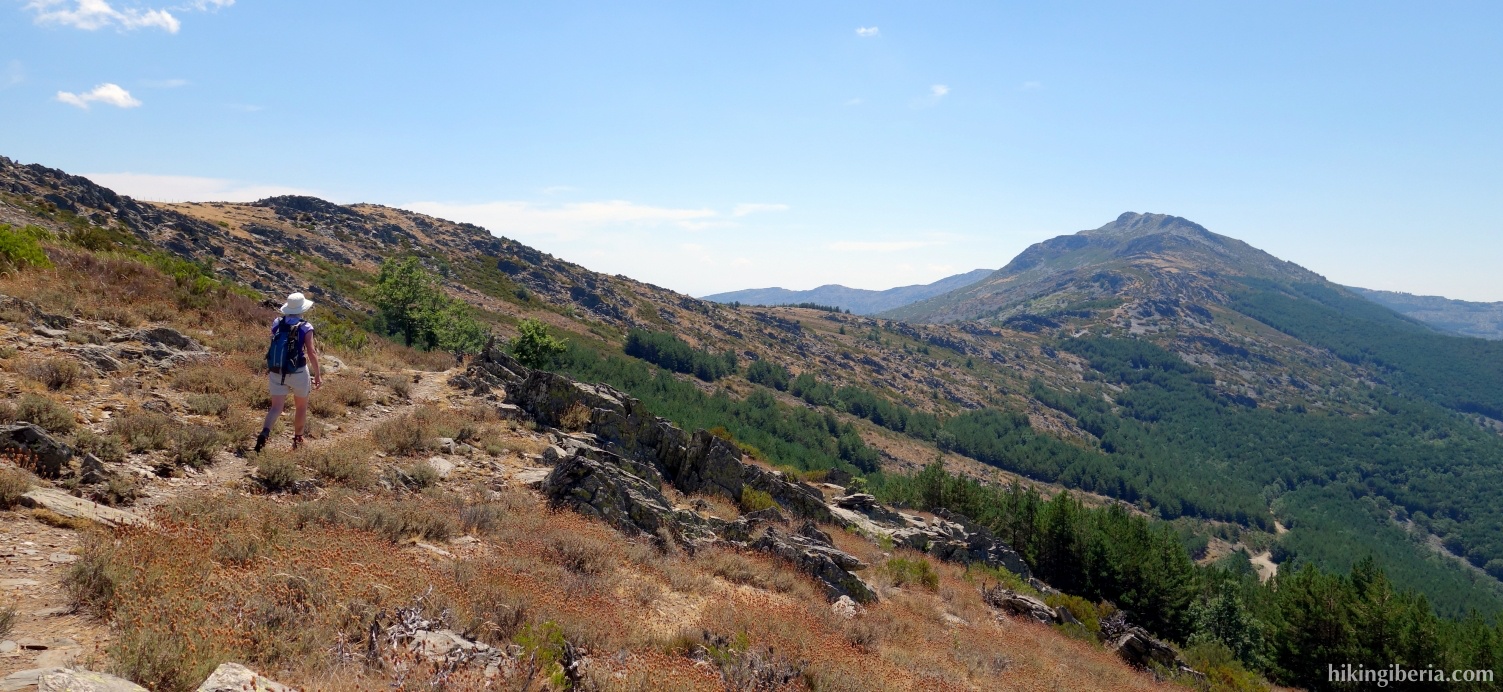
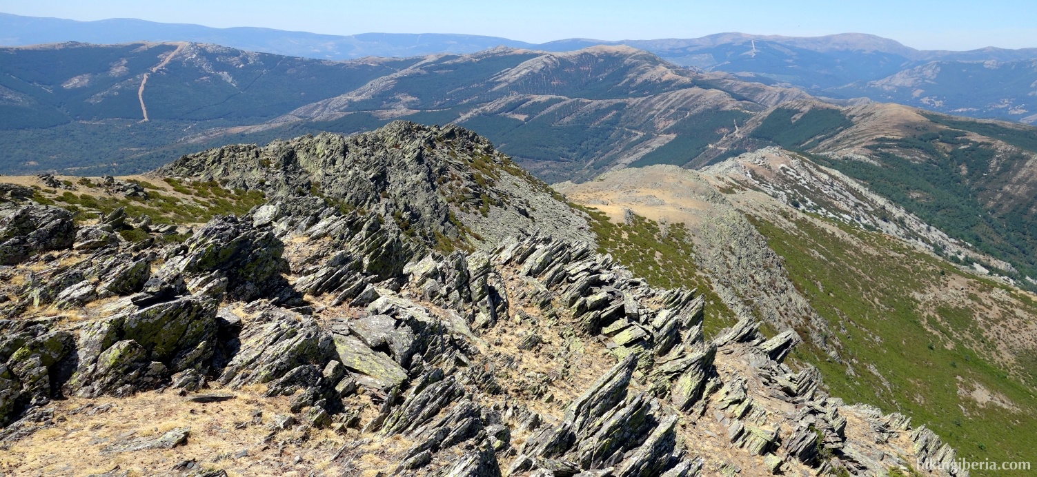
- From here we follow a while the white-red markings of the GR-88. A bit further the trail seems to diverge and we keep left, thus remaining on the ridge. We walk towards the rocky summit of Peña Hierro (4) which we pass underneath at the right side. Quite some time past it we arrive at a firebreak where we turn right (5).
- Immediately after that we arrive at a crossing with another firebreak (6) where we go straight on, thus leaving the white-red markings of the GR-88.
- The path descends to a dirt road (7) where we turn left. Through this way we reach the Collado de las Palomas (8) where we still before the cattle grid and the fence, on the border between the provinces of Madrid and Guadalajara, turn right onto a narrow trail, uphill.
- We follow this path for some time and on the Collado Llano ignore a trail to the right (9).
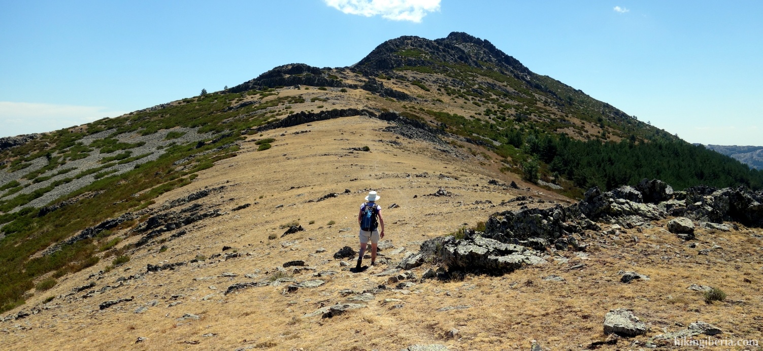
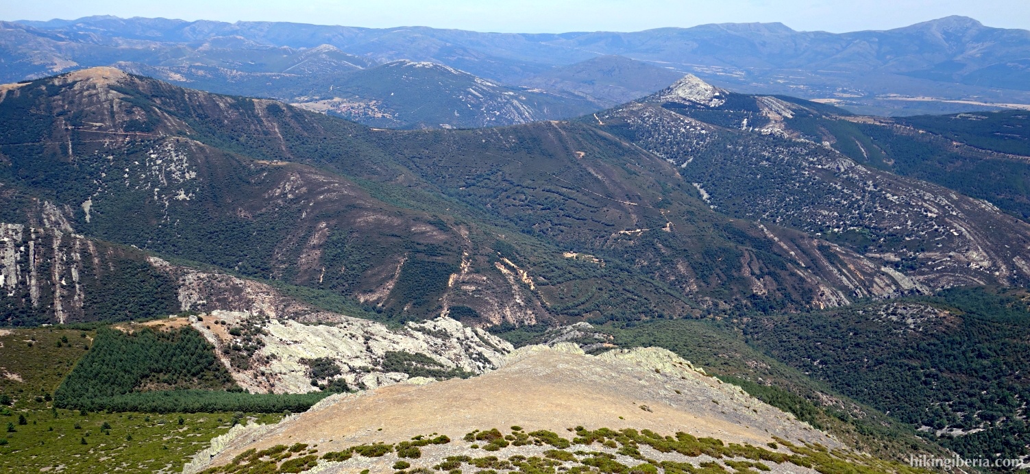
- The path now leads through rocks and stones and is occasionally not easily discernible, but we regularly find milestones. The path eventually goes to the left uphill through a stony terrain for a passage to the other side of the mountain (10).
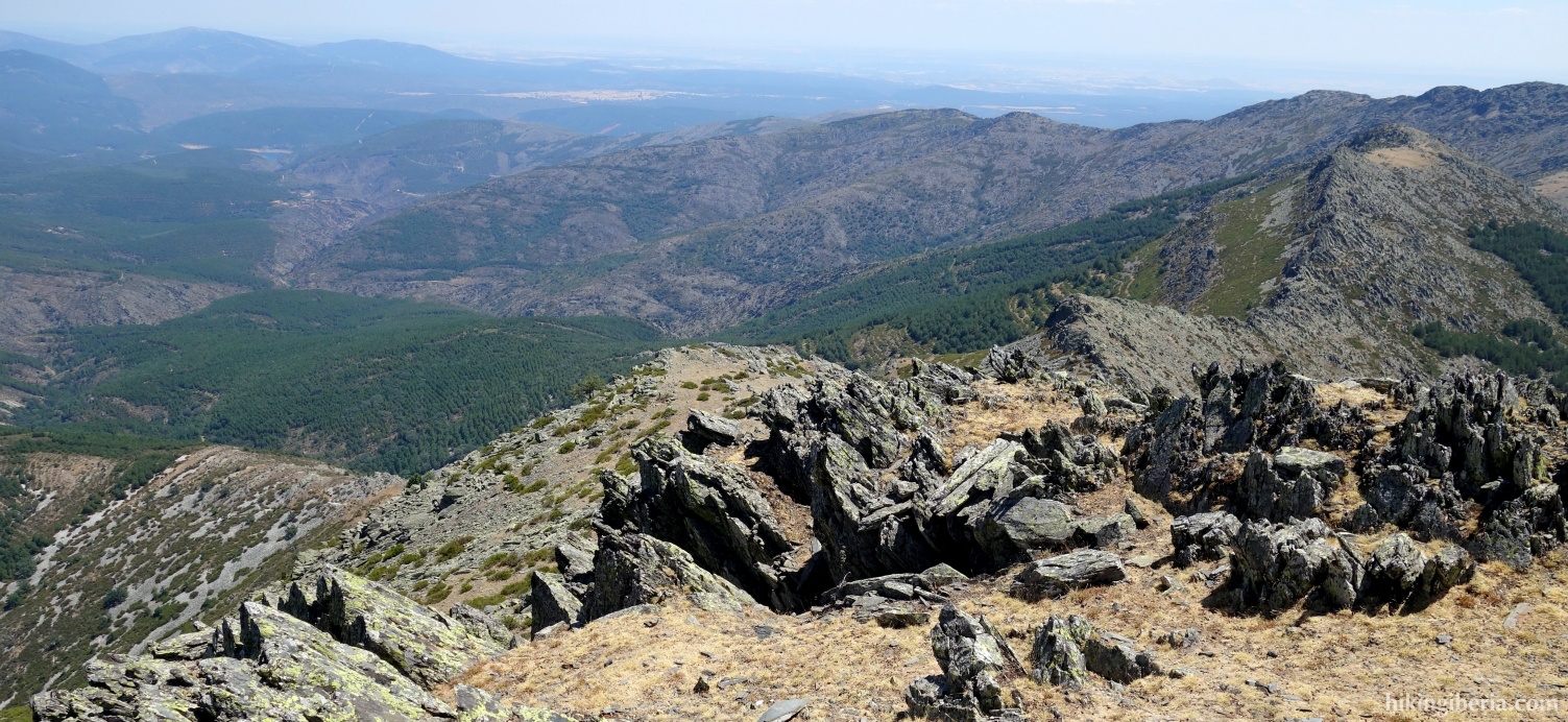
- From here the last stretch of the route to the Carazo Peña goes over the rocks, clearly marked with milestones.
- From the Peña Carazo (11) we walk back to the Collado Llano via the same route. At the path that we previously ignored, we now turn left, downhill (9). We descend a little less than 100 metres and reach a dirt road (12) where we turn right. Directly behind it we turn left at the next fork (13).
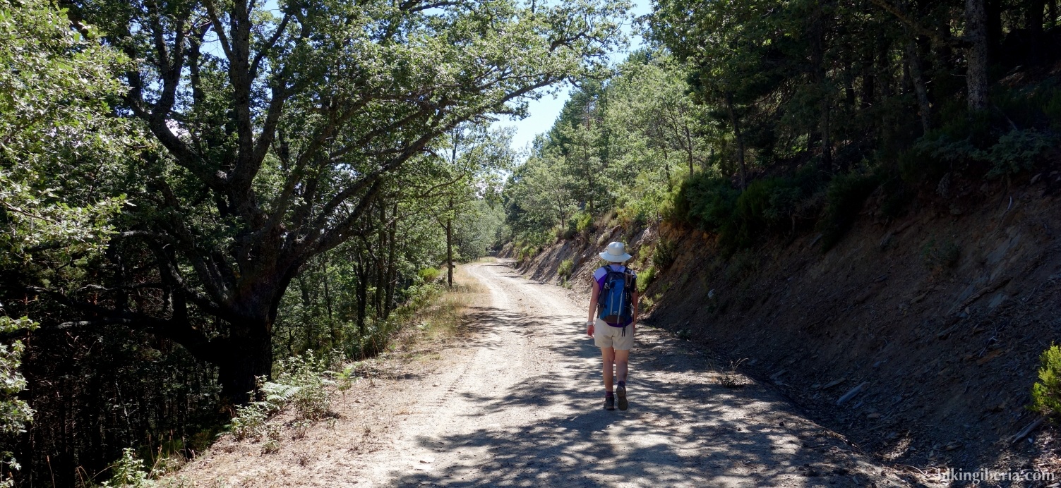
- We follow the dirt road for nearly 5 kilometres and walk almost all the time without ascending or descending, ignoring several side paths. At the end of this road we go downhill to the asphalt road M-130, where we turn right (14). Through this asphalt road we still have to walk about 2.5 kilometres and ascend 150 metres, before heading back to the Puerto de la Puebla (1).