NL
NL  IT
IT  DE
DE  ES
ES  EN
EN 
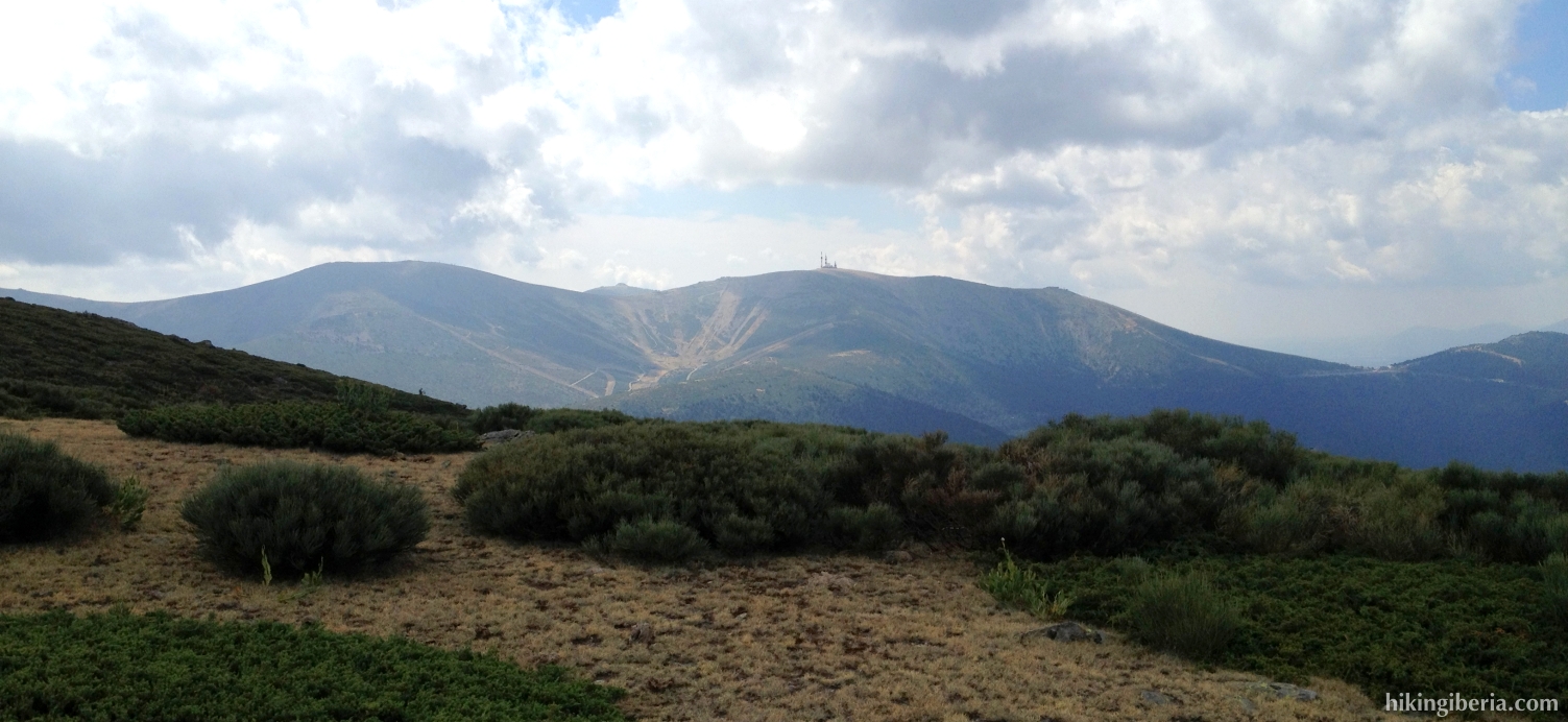
The Puerto de los Cotos is a popular point of departure for hikes to the Peñalara and the lakes near this highest peak of Madrid. On this hike we take another direction though, to the Peña Citores, a fine peak from where we have a view over the south face of the Sierra de Guadarrama with among others the Bola del Mundo. Near this peak we get past some remaning trenches of the Civil War that are still in very good state.


- From the parking lot (1) we first walk a stretch back along the road in the direction of the Puerto de Navacerrada. At the first trail on the right side of the road, at a wooden gate (2), we take the left trail over the wooden sleepers, which is signposted with “otras rutas”. This trail ends at the abandoned building of the alpine club (3) (the left building of the two), to which we walk and where we take the trail on the right side that runs over a staircase of sleepers.
- This trail quickly divides and we go left through the wooden gate (4). This trail is marked with yellow dots.
- A bit further on the trail divides (5). We keep right here, which is clearly marked with a big yellow arrow on a tree. Further on the trail is no longer marked with yellow dots but with milestones.
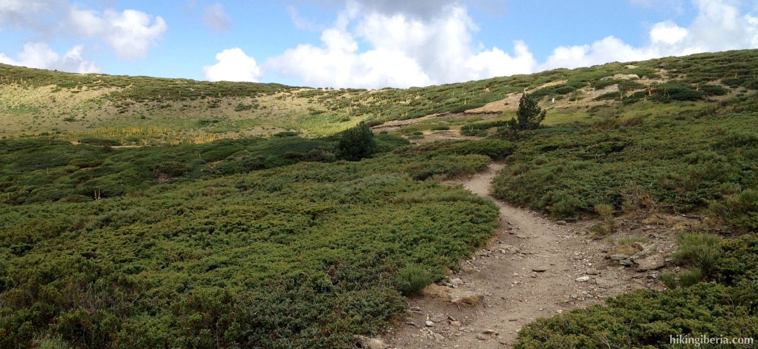
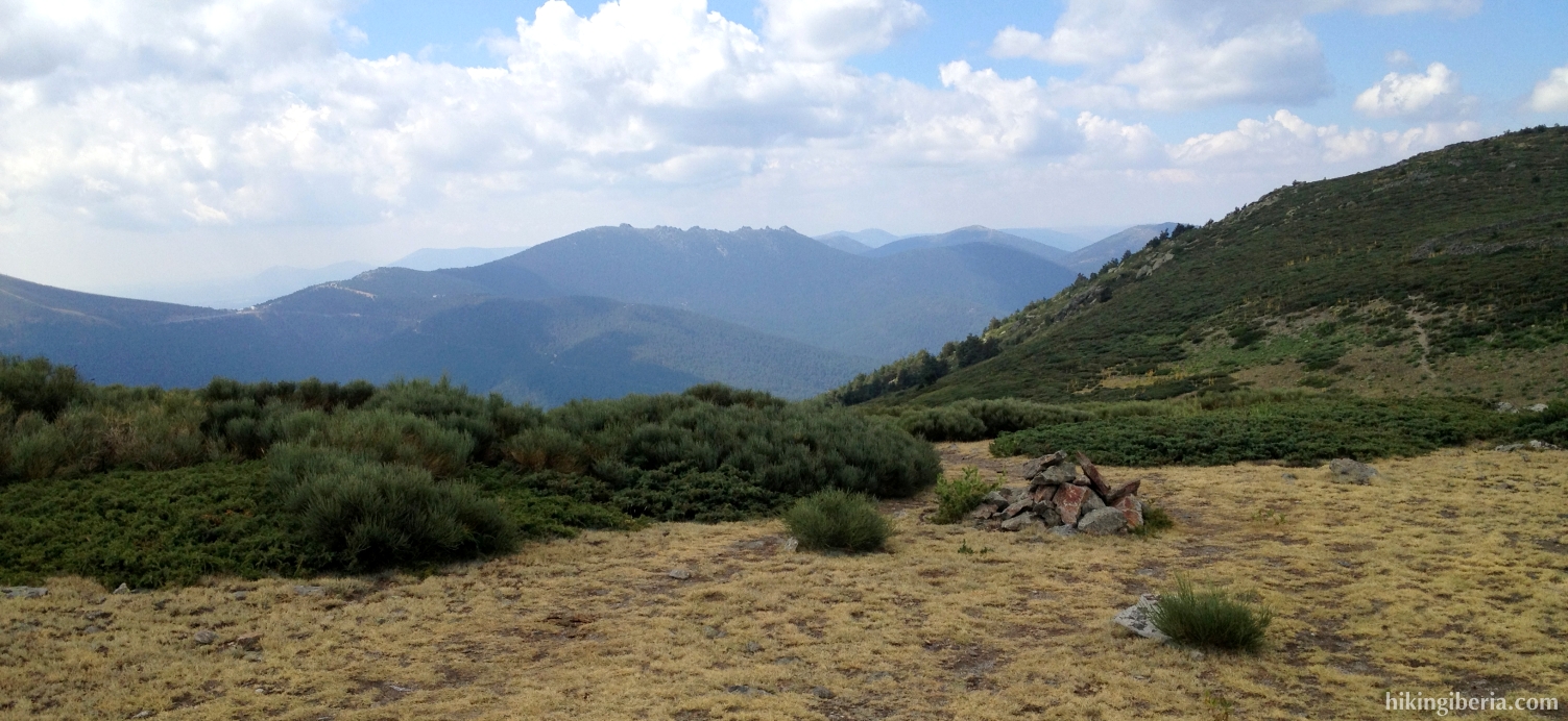
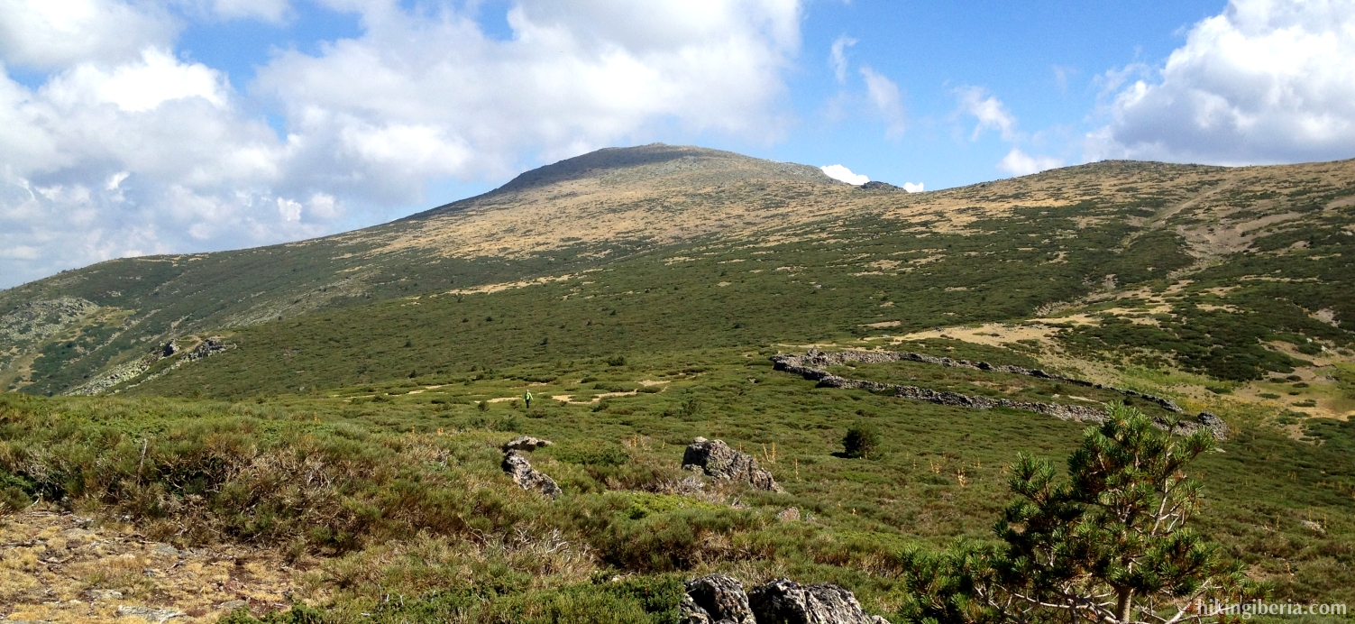
- Just before we reach the highest point of this slope, we need to keep a bit more to the right (6). This point is marked with milestones. This way we eventually reach a crest – with right in front of us the Dos Hermanas – where we turn left (7).
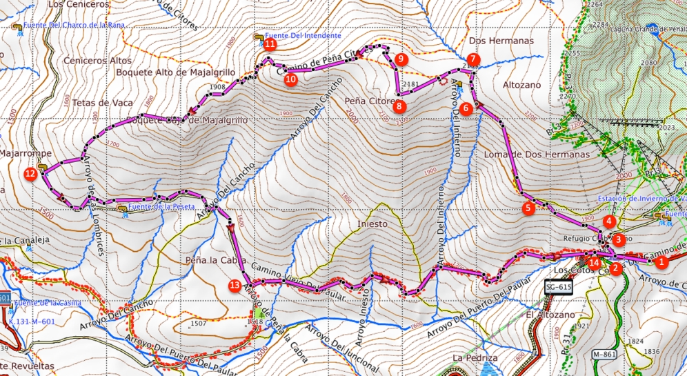
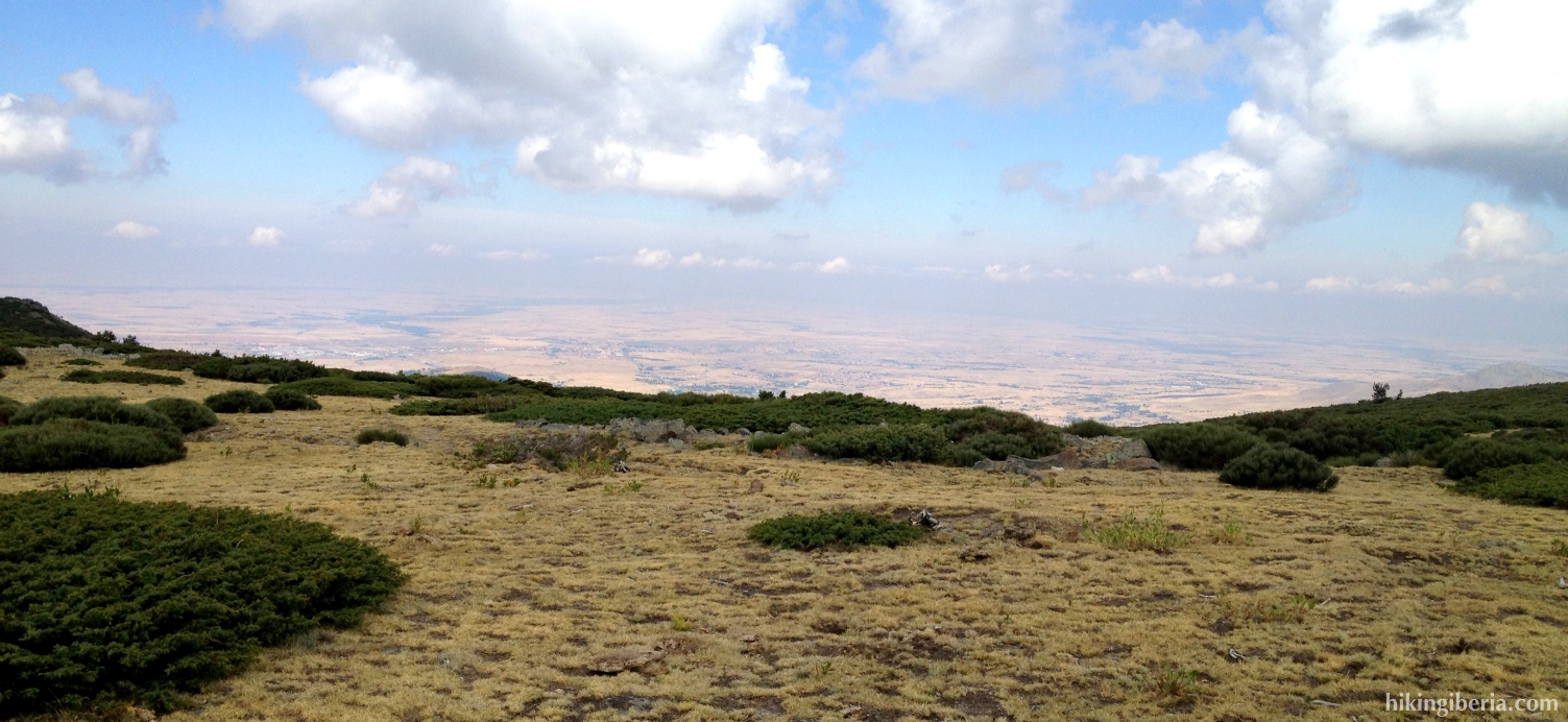
- On this crest we see at our left hand the Bola del Mundo and at our right hand the plain of Segovia. We now keep a bit to the left, off the trail, and in this way eventually at 2,181 metres reach the highest point: the Peña Citores (8).
- From this peak we now walk in an angle of 90 degrees back towards the stones of the trenches of the Civil War (9). Here we find the trail again, marked with milestones.
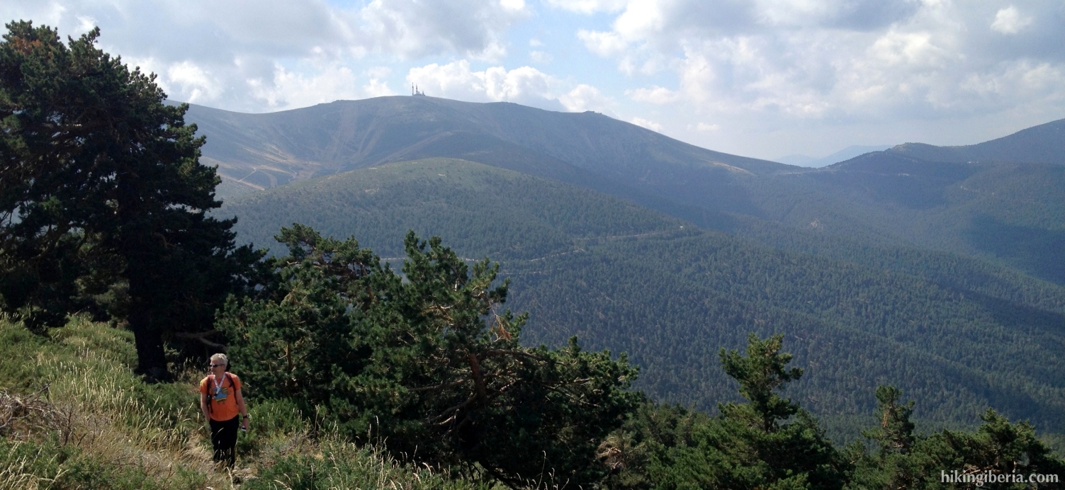
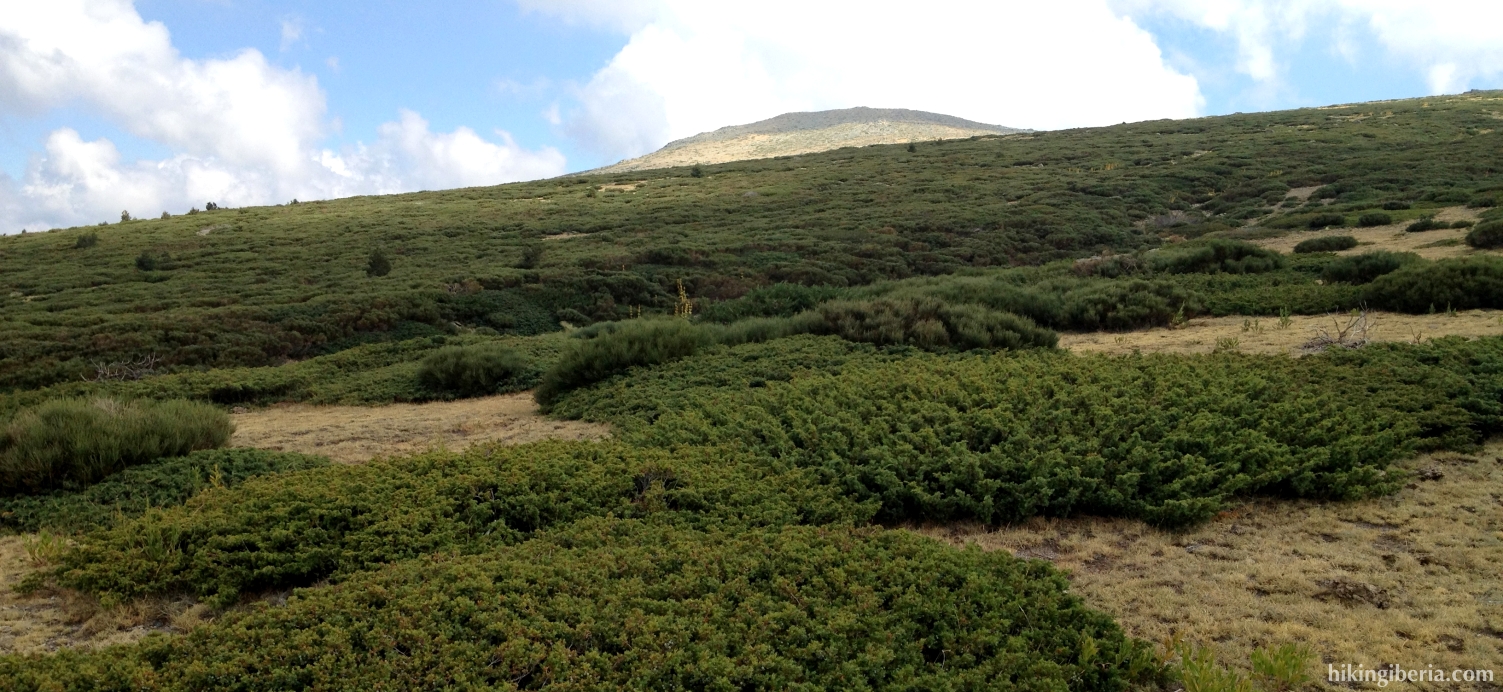
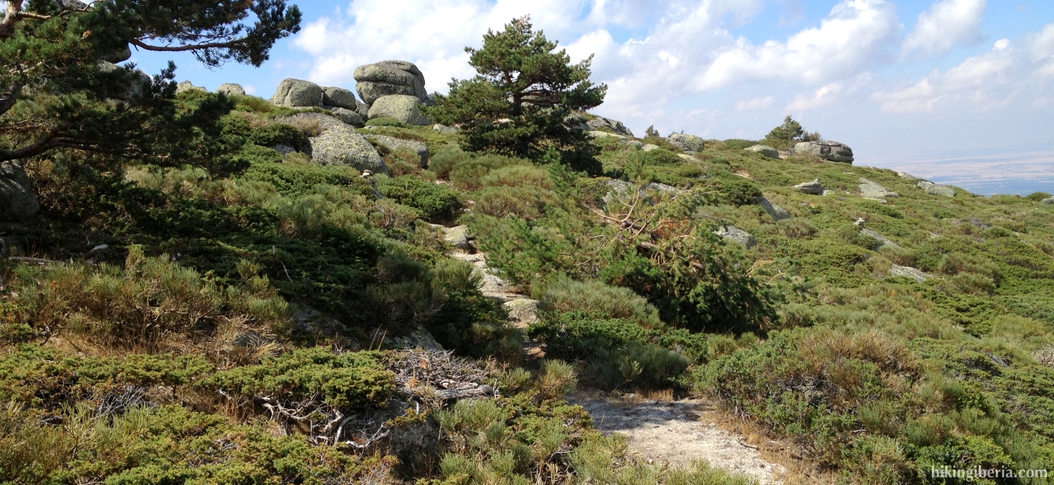
- We now follow this trail over the crest until just before the small refuge of the Mirador del Cancho (10). Here we follow the milestones on the right downhill.
- We walk past a number of big boulders (11) and then descend through the forest. We follow the milestones of the trail, although sometimes we have to look for them. Further on we descend over an open slope where we really have to seek the milestones.
- Further on we walk over a clear trail through the forest. This trail eventually ends in a dirt road (12) where we turn left. This dirt road further on is asphalted and eventually leads to a junction (13). Here we turn left and we now ascend over a dirt road.
- We follow this dirt road, which is sporadically marked with yellow dots on the trees, all the time. We keep climbing and ignore various side trails. Just before the Puerto de los Cotos it becomes a narrow trail and further on it divides. It does not matter though if we turn left or right there.
- The trail eventually ends in the asphalt road SG-615 (14) where we turn left and walk back to the parking lot at the Puerto de los Cotos (1).