NL
NL  IT
IT  DE
DE  ES
ES  EN
EN 
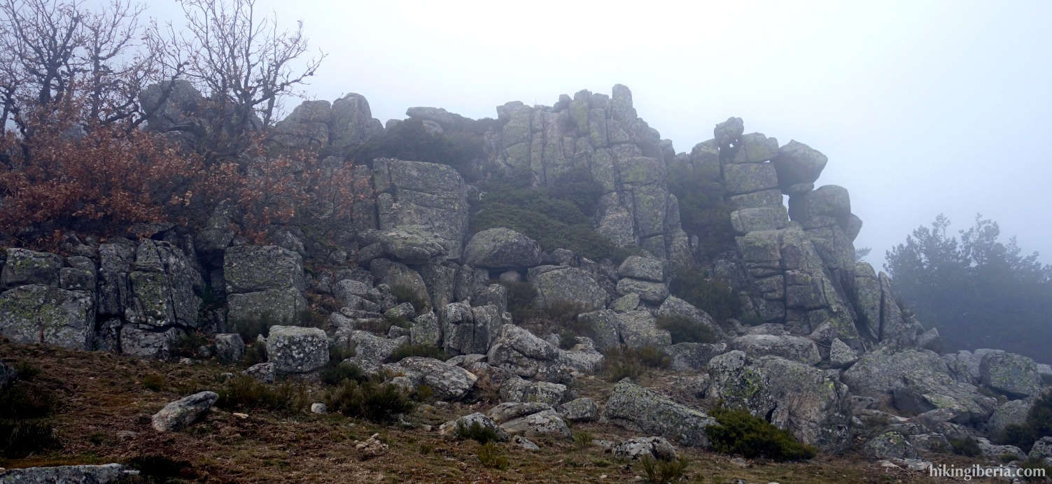
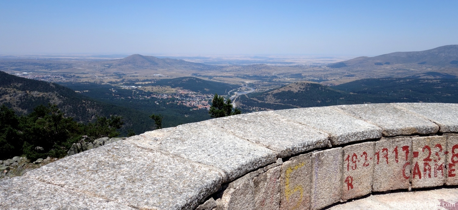
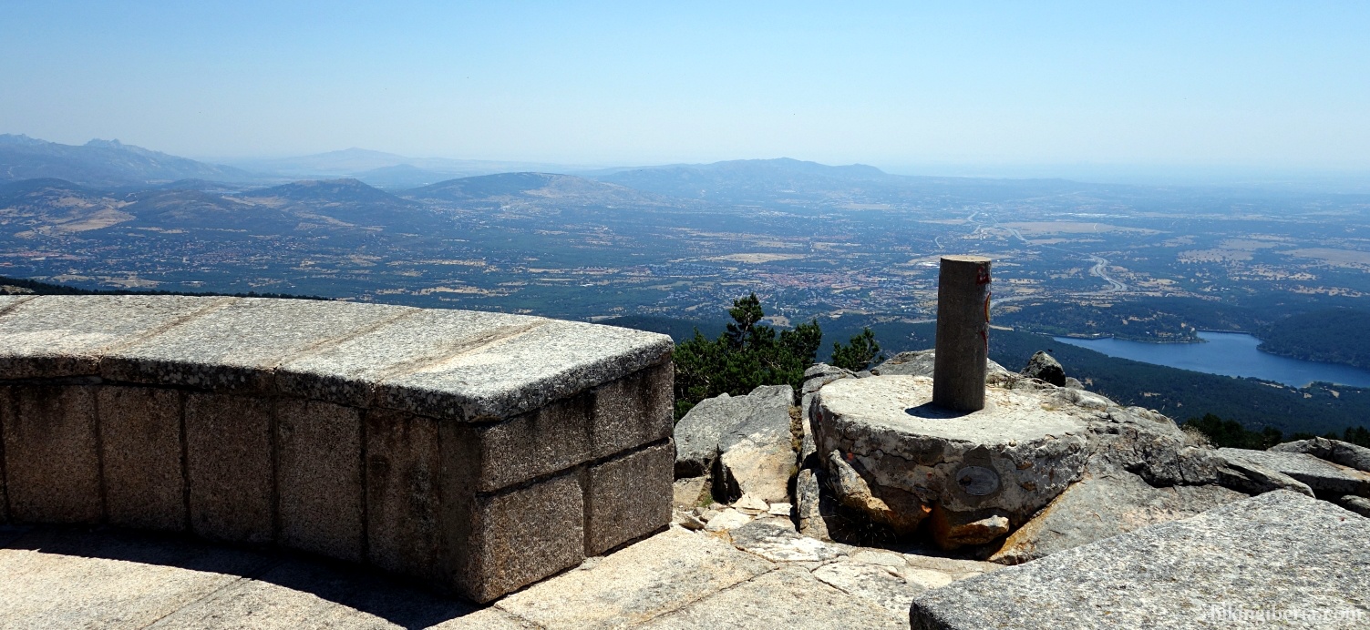
This hike leads from San Rafael to Cabeza Líjar, a peak with a viewpoint that was built on an old bunker from the Spanish Civil War. From the peak we have a wonderful view over the three provinces that converge here: Madrid , Ávila and Segovia. On the way back to San Rafael we follow the course of the stream Arroyo Mayor.
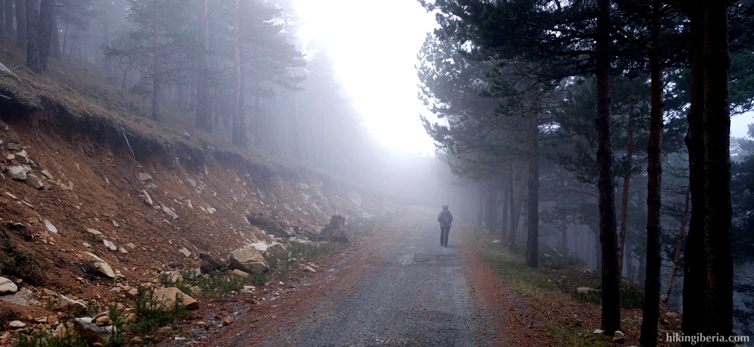
- We continue for a while down the road on which we parked the car (1) and turn left at the first opportunity (2), over a bridge over the Arroyo Mayor. On the other side of this bridge we take the path to the right.
- A bit further down the paths seem to divide, but both the trail on the left and on the right further on end at a green gate through which we go (3). Behind this gate we turn right and walk in between two stone walls.
- A little bit further down the wall to our left hand ends where a little further down you can turn left over the water (4). However, do not turn left here yet but stay on the right side of the water until later the path turns left and now does cross the water (5).
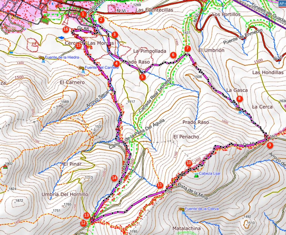
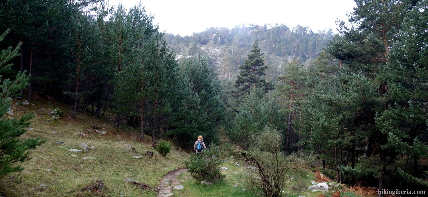
- Through this path we start to ascend. When we arrive just above 1,400 meters at a fork (6) we first keep left and then quickly go right / straight on.
- Through this path, we arrive at a wide path where we turn right (7). On this path follow the orange dots on the trees and the stones.
- We keep following the orange dots, so further on keep left at a junction and then go down to the stream Arroyo de la Gasca (8). We cross the stream and on the other side directly turn right, initially walking parallel to this stream uphill again, following the orange dots.
- We finally arrive at the Collado de Legasca (9). Turn right still before the stone wall (thus do not go through the gate onto the dirt road) and follow the white-red markings of the GR-10.
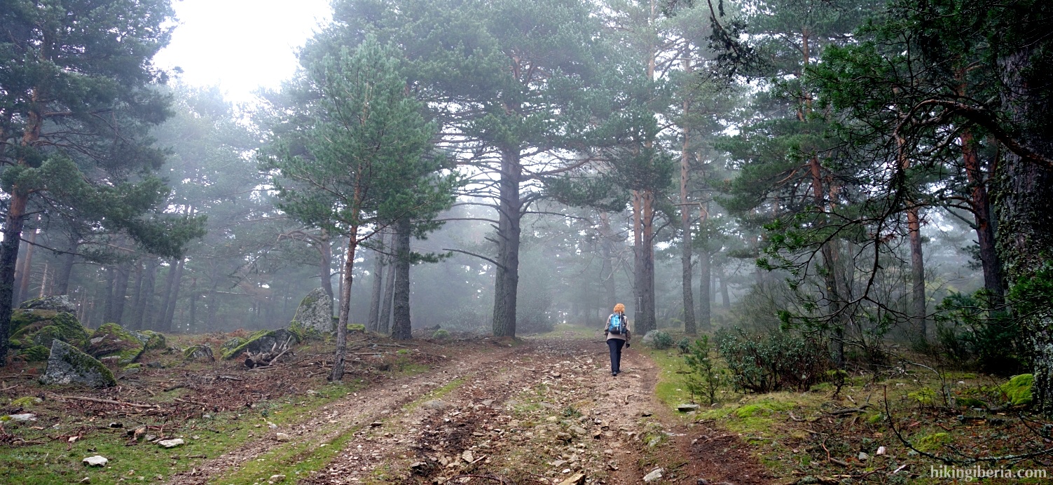
- Through this path we eventually reach the Cabeza Líjar (10). From the summit we follow the white-red markings downhill until we reach the dirt road (11). Here we turn right and descend for a while via the road until just above 1,600 meters we reach the Collado Hornillo (12).
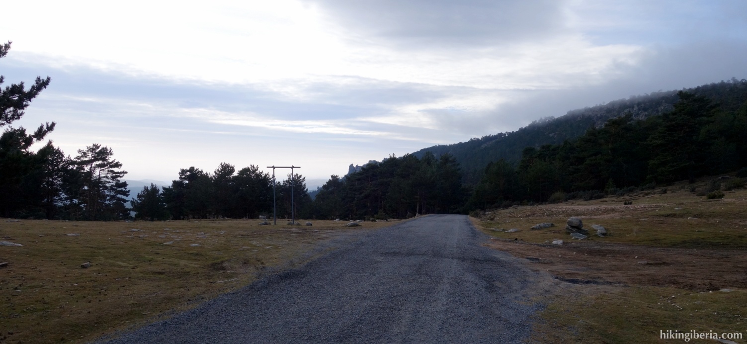
- Here several paths converge. We take the rightmost path and still before the barrier on the dirt road we turn left (13) onto the GR-88. We follow the white-red marking of this GR downhill and follow the course of the Arroyo Mayor.
- We cross a wide path (14) and follow the white-red marking straight on. Further on at a Y-junction we again follow the white-red marking, turn left and further down at a fork we keep left again and cross the water, still following the white-red marking.
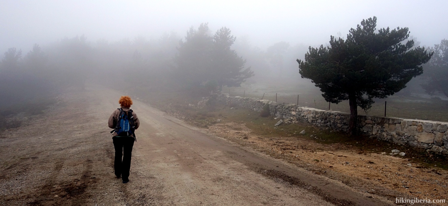
- We now walk with the Arroyo Mayor on our right-hand side on a wide stone path further downhill, still marked white-red. Further on we go through a gate and continue until we reach a property with a large wall around it (Cerca de Las Monjas) (15). Here we walk parallel to the wall, go through a fence and continue a while until we arrive at an asphalt road where we turn right (16).
- We follow this road until the end to return to the car (1).