NL
NL  IT
IT  DE
DE  ES
ES  EN
EN 
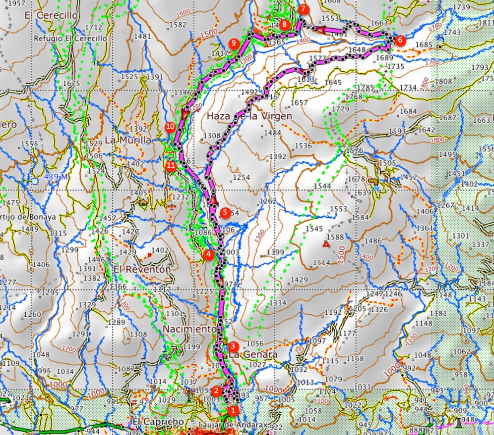
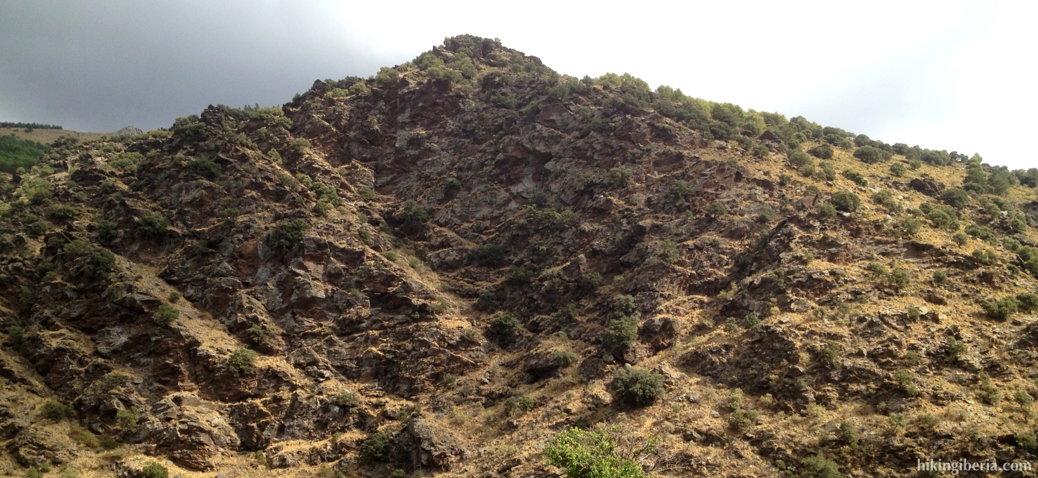
During this hike we follow for a large part the Senda del Aguadero, a varied route along the river Andarax and the gorge of the Aguadero. Most of the route is perfectly marked; only during the part from where we cross the Aguadero we need to search for the trail and follow the instructions of the route description carefully. The biggest part of the route consists of good wide paths – with the exception of the first part from the gorge of the Aguadero – but with more than 900 metres difference in altitude we still have to produce a considerable physical effort.
- Starting at the campsite La Molineta (1) we cross the river Andarax. We follow this trail uphill until we get at the asphalt road (2), where we turn right towards the “Área Recreativa de Nacimiento”. At this recreation park we stay on the road, parallel to the river Andarax. Further on we ignore on the right side the trail PR-A 36, which is marked white-yellow (3).
- Through small bridges we twice cross the Andarax and eventually walk on the right side of the Andarax. Further on, just behind a bend in the road, starts a trail (4) on the right, next to an information panel of the Sendero del Aguadero, the PR-A 37, which we enter. This trail is marked white-yellow.
- We now get past the Era de Chillo, an old threshing floor with a nice view, and next we cross the PR-A 36 (5), where we go straight on at the left, following the signs of the PR-A 37.
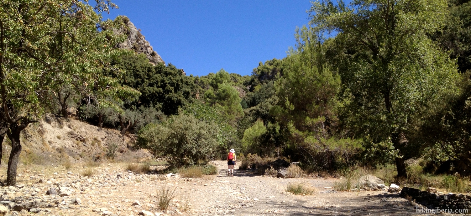
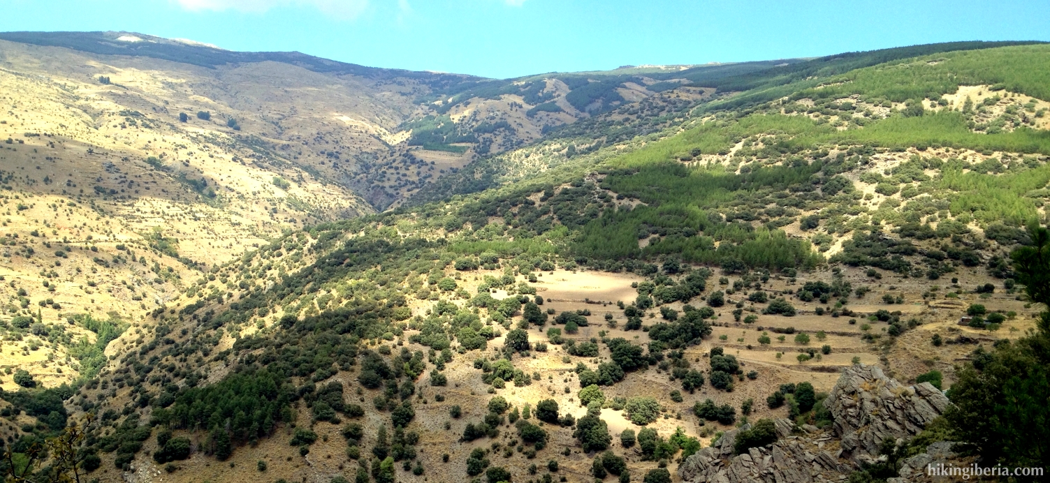
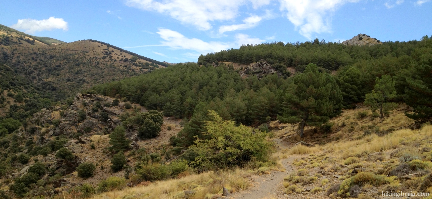
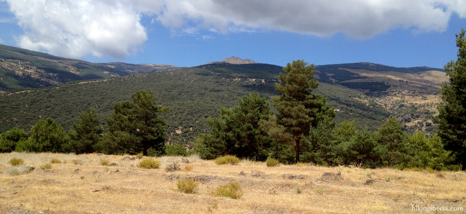
- We now follow all the time this marked trail, sometimes climbing heavily, sometimes more gradually through the forest. Further on we turn more and more towards the gorge of the Aguadero, to which we eventually descend.
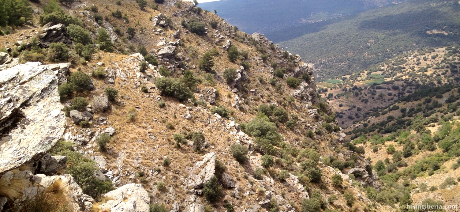
- At the lowest point we cross the Aguadero (6) and then start to climb heavily again. From this point on it is difficult to locate the marked trail. You need to be cautious to not walk too much uphill towards the north, but more to the west, into the direction parallel to the Aguadero. There are various trails and a road that go towards the north, by which we should not let us get distracted.
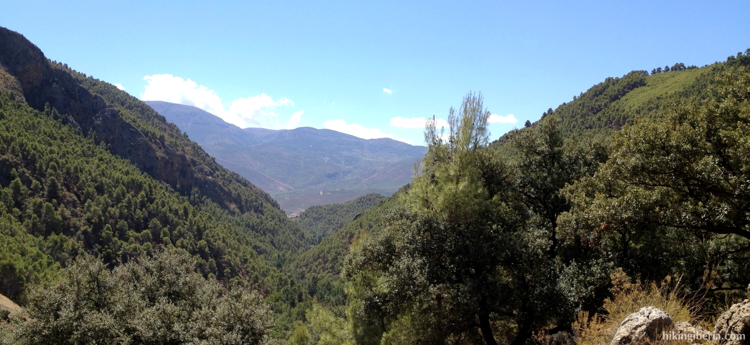
- Towards the west we can eventually find our way through the trees and then descend straight on the slope. When we have better visibility, we can below in front of us, on the other side of the gorge, see a road and just before it, on our side of the gorge, a trail, towards which we descend. On this white-yellow-red marked path we go right and next we cross the stream (Barranco de la Majada de las Vacas) with a wooden bridge (7). We now walk on the right side of this stream.
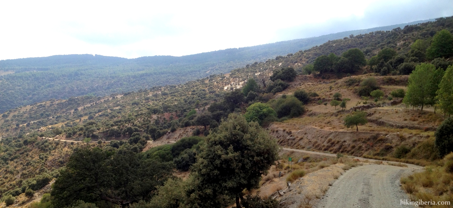
- Further on we get at a dirt road (8), where we turn left, signposted with “Sendero del Aguadero”. Further on at the right there is a crossing (9) with various signposts, but we go straight on. There where further on the road turns left (10), we go straight on, onto a sort of tyre mark, to make a shortcut.
- We now get at the road again and go directly at the other side of the road to the left onto a white-yellow marked trail (11) downhill. A bit further on the trail turns right, which is marked. We now zigzag downhill towards the Andarax, which eventually we cross through a wooden bridge.
- Further on we walk along an old channel (Canal de la Hidroeléctrica Laujareña). This trail returns us to the PR-A 37, to the same crossing (5) we passed on the way out. Now we go right here and follow the same route back to Nacimiento and the campsite “La Molineta” (1).