NL
NL  IT
IT  DE
DE  ES
ES  EN
EN 
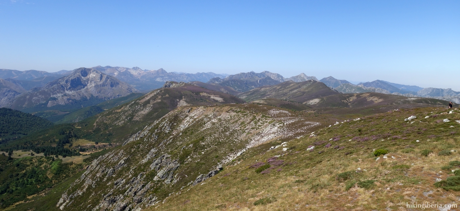
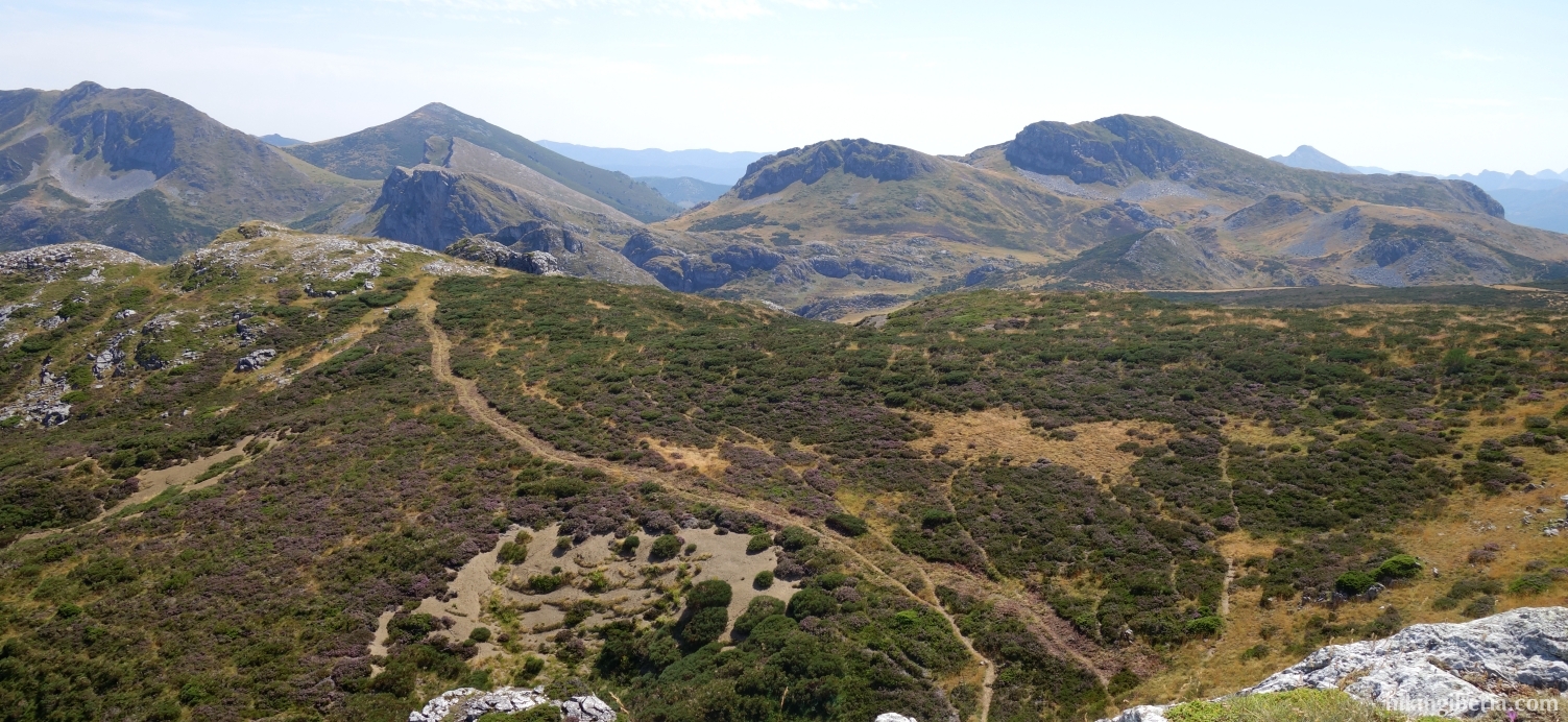
The hike starts on the Puerto de Tarna, on the border between Asturias and León, on the edge of the Redes Natural Park. It is an extremely varied hike that changes in character several times and takes us past several peaks: Pico Remelende, Pico Mongayo, Pico Lago and Pico la Cerra.

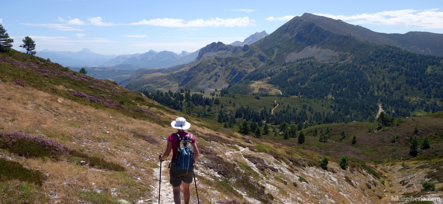
- The hike starts from the Puerto de Tarna (1) on the León side along the LE-331/LE-333, which is thus not the main road to Riaño, but, towards Asturias, the road on the left. Go through the wooden gate on your right (2) and then almost immediately left onto the path, parallel to the barbed wire up the mountain.
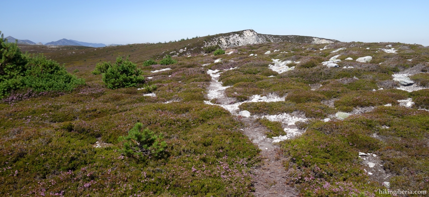
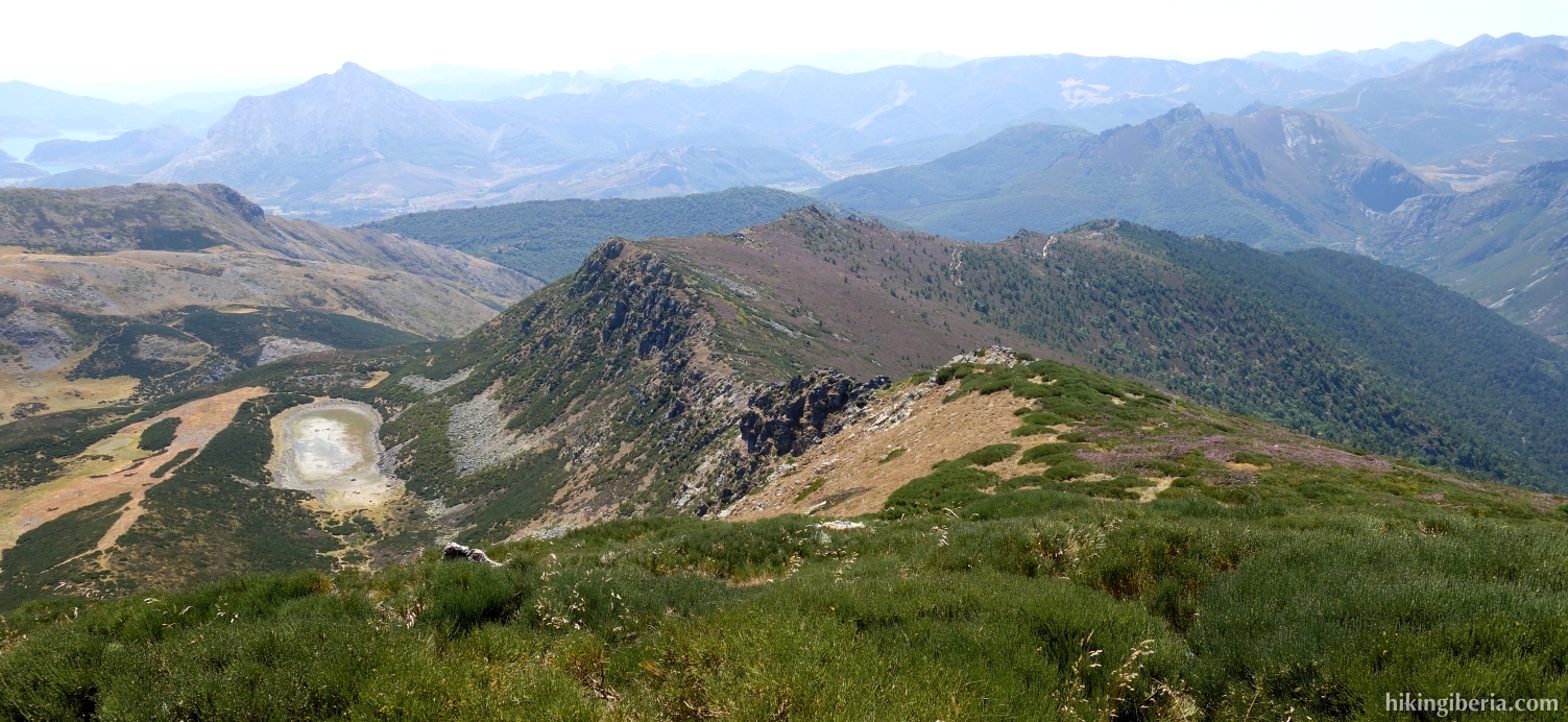
- After about twenty minutes we see various trails (3). Make sure you take the upper trail here. We go through/over barbed wire and a little further (4) we see a mountain ridge on our left. Head south here - without a clear path - up the mountain towards the ridge. Once on the ridge (5), turn right. Soon we reach the Pico Remelende (6).
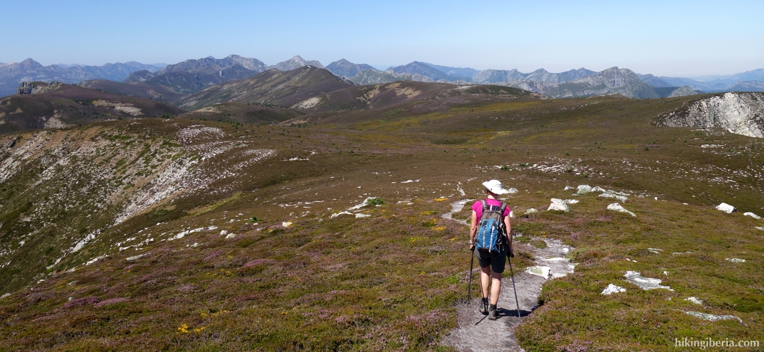
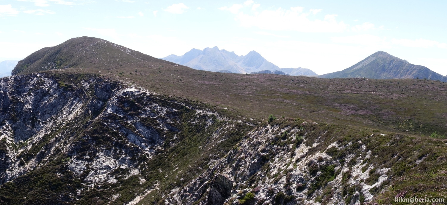
- From the Pico Remelende, the trail continues in a northwesterly direction, over a beautiful plateau. Ignore a path to the left and keep as your orientation the Collado Remelende, which you see right in front of you. Once on the Collado Remelende (7), we continue west towards the flat top of Pico Mongayo (8).
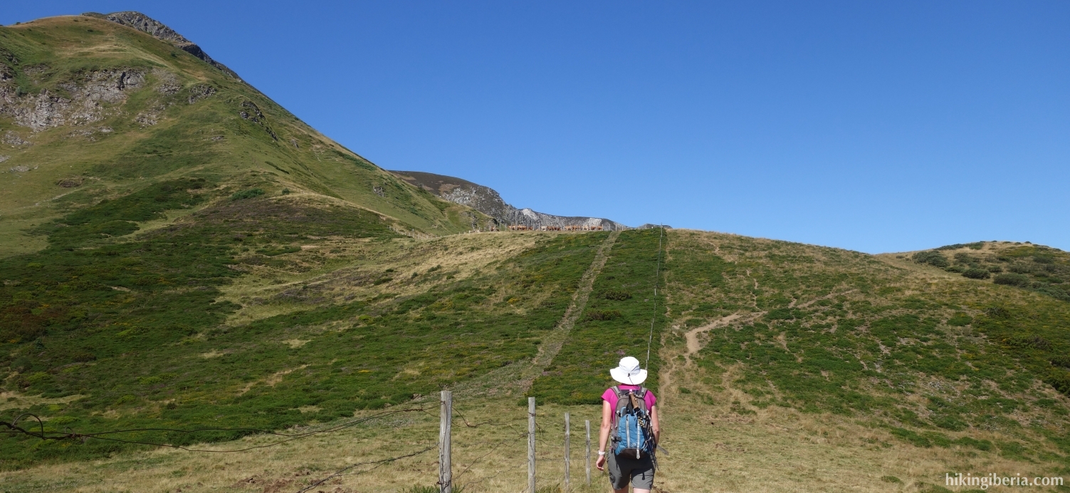
- From the Pico Mongayo we continue the path in a westerly direction. After ten minutes we arrive at a pole with white-yellow marking (8) and we turn left onto the white-yellow marked trail, the PR-AS-60. We follow the white-yellow markings all the time and so also after fifteen minutes we ignore the path to the right and we continue straight ahead.
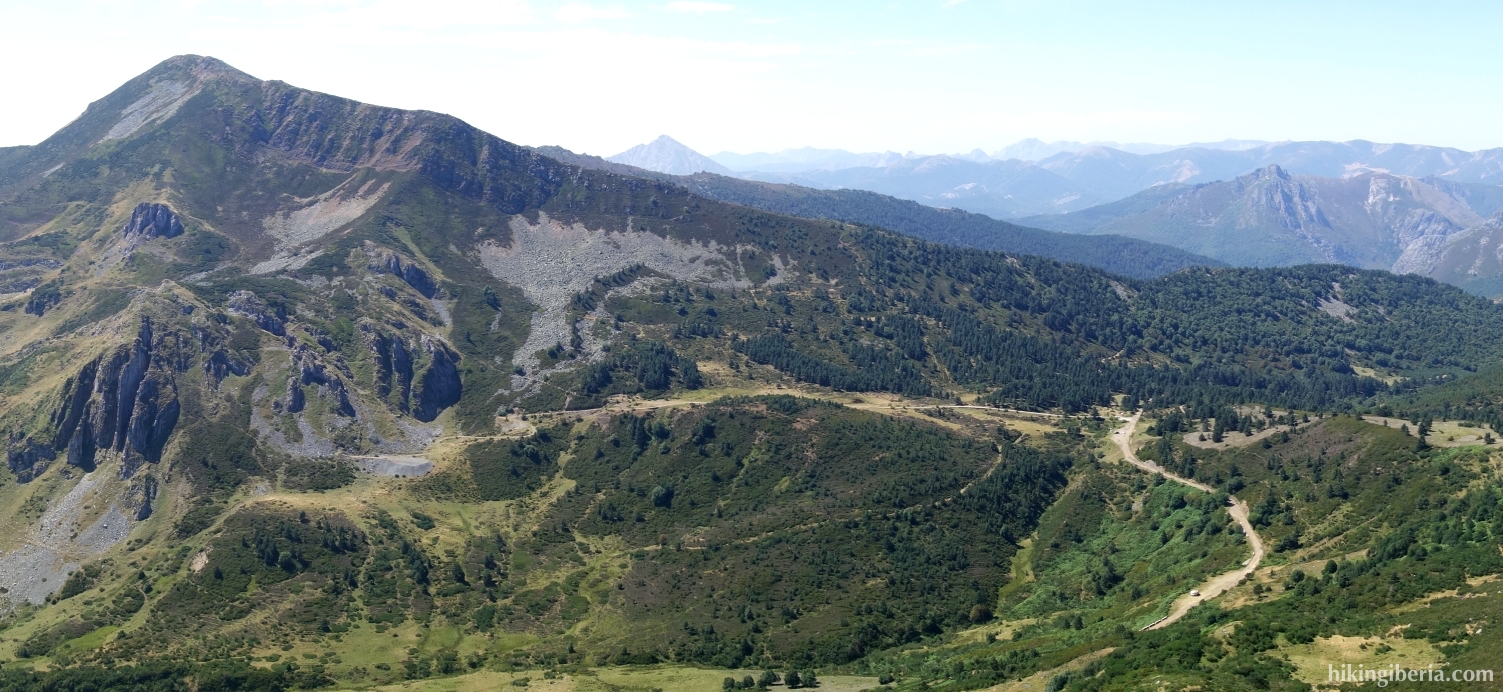
- Another fifteen minutes later we arrive at a wide path (11) and we turn left. Ten minutes later we arrive at the pass Puerto de Las Señales (12) and we first turn right on the asphalt road and then immediately left on the dirt road.
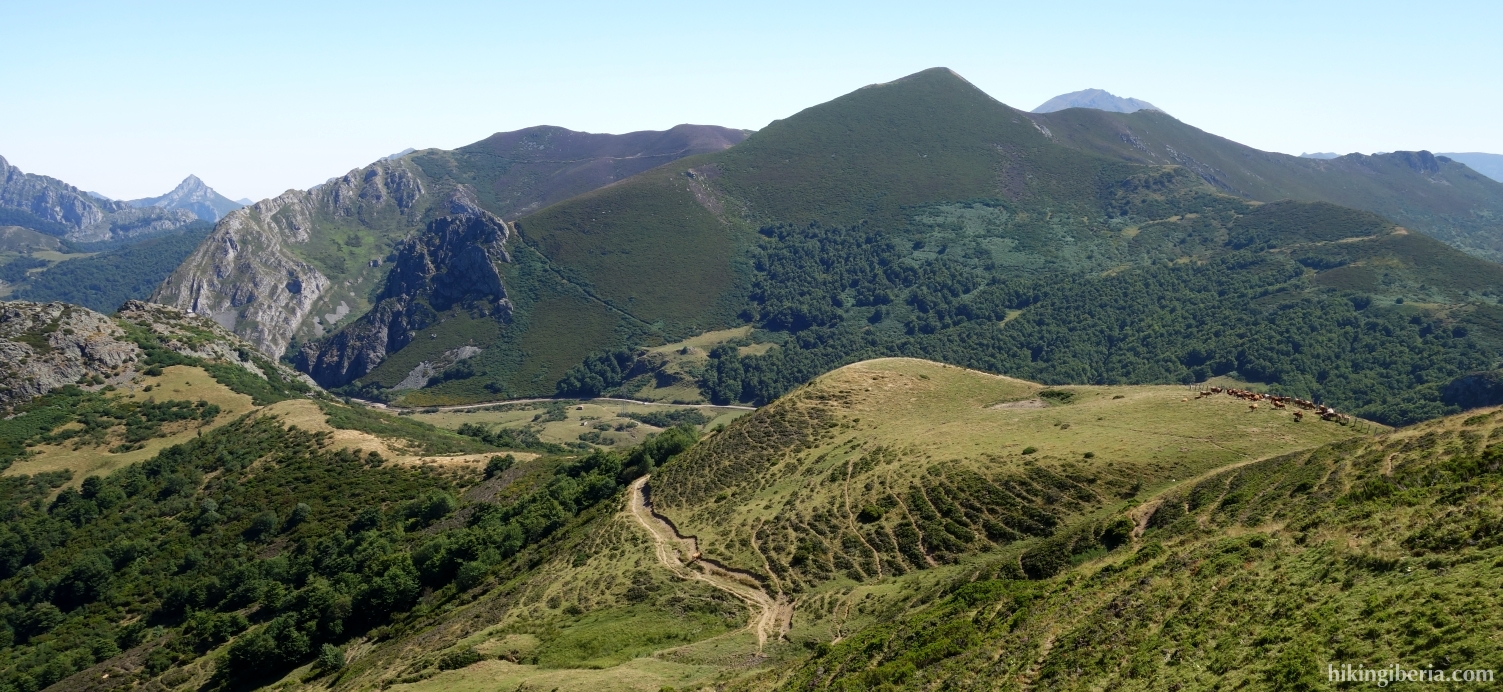
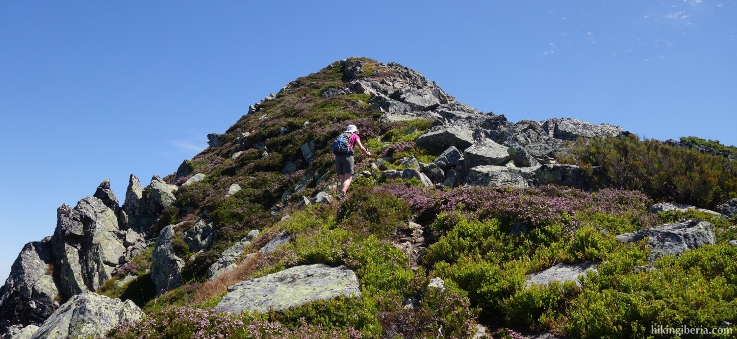
- After a few minutes we turn left off the dirt road onto a narrow path (13). This trail climbs quickly and takes us to the ridge (14) in 15 minutes. On the ridge we turn left.
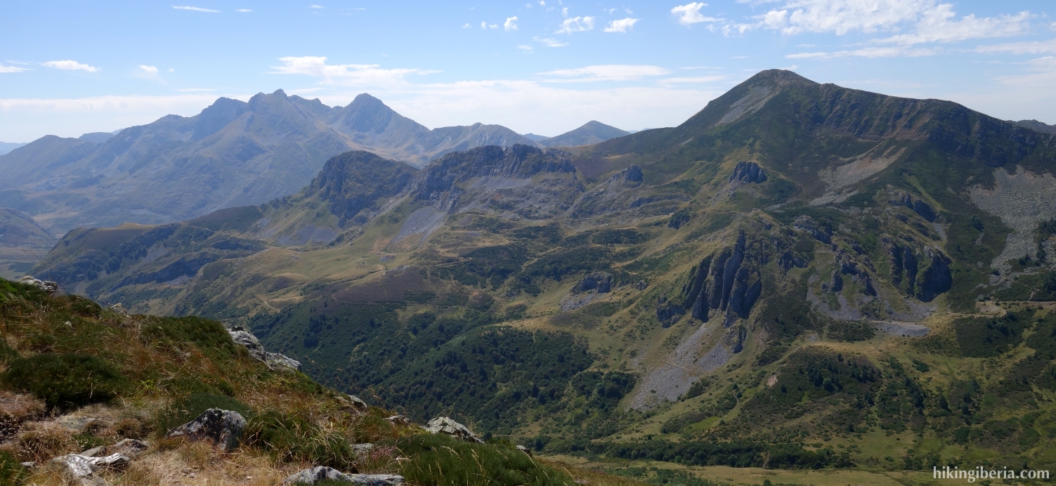
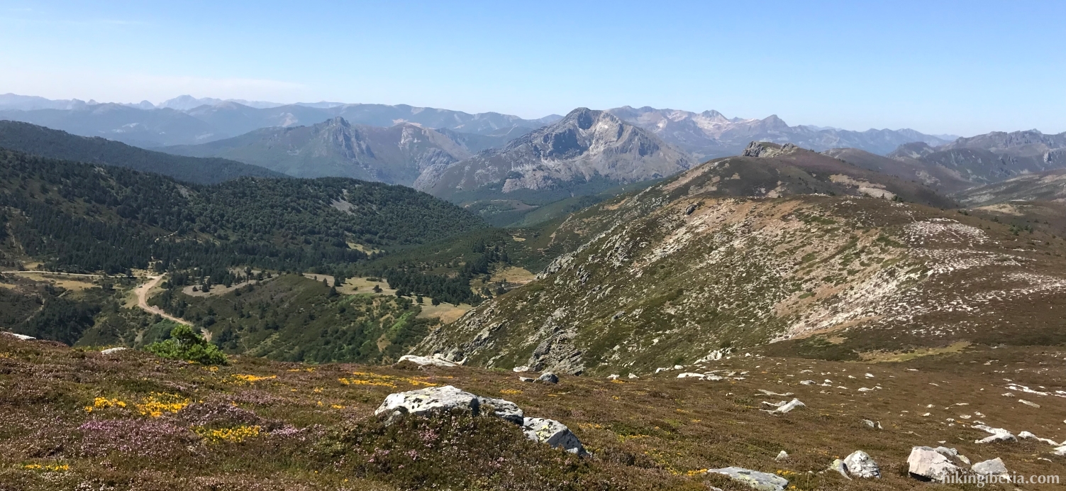
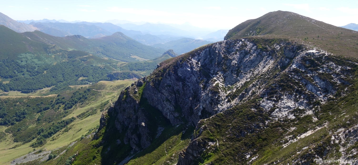
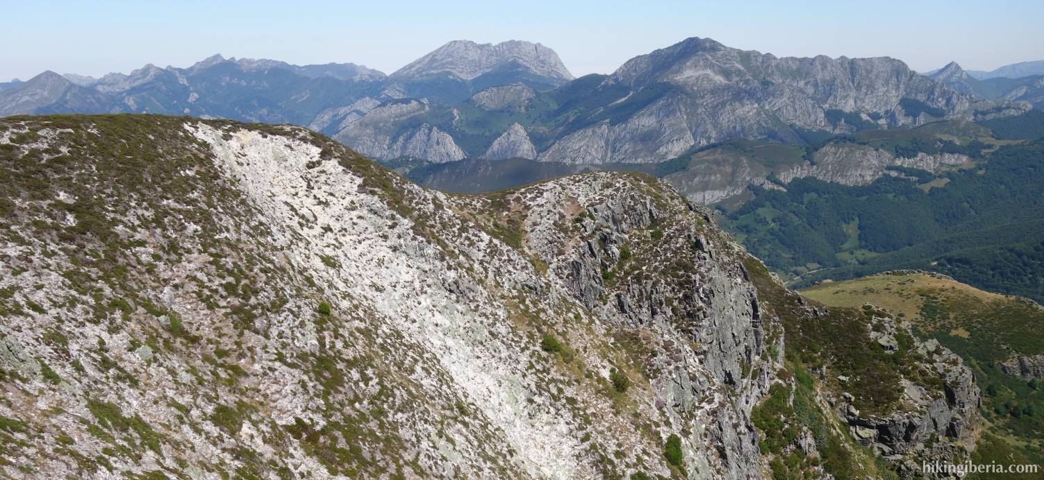
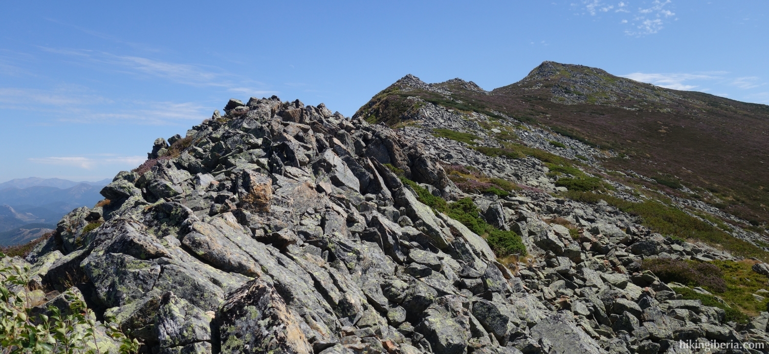
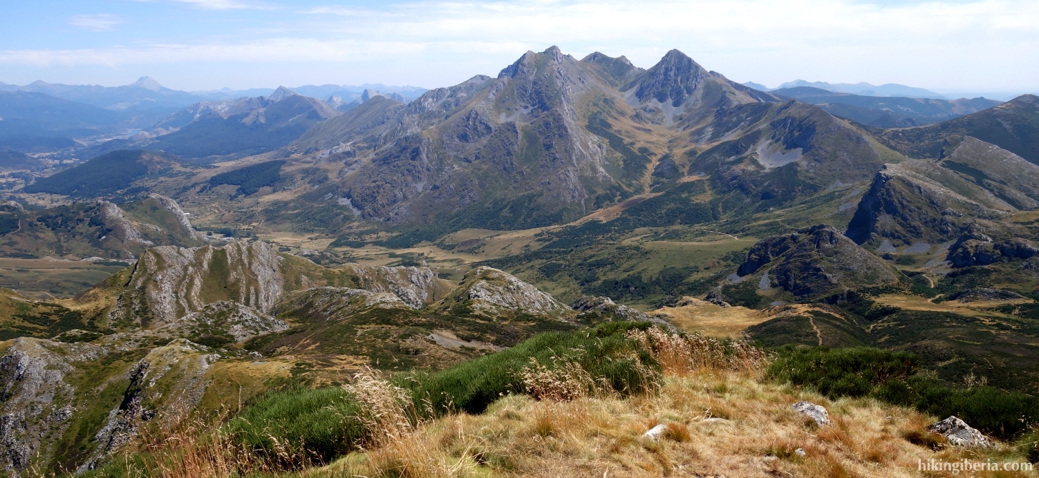
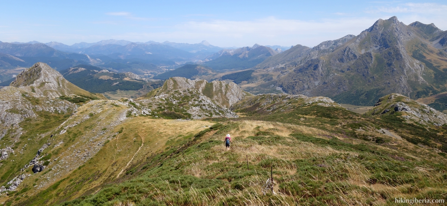
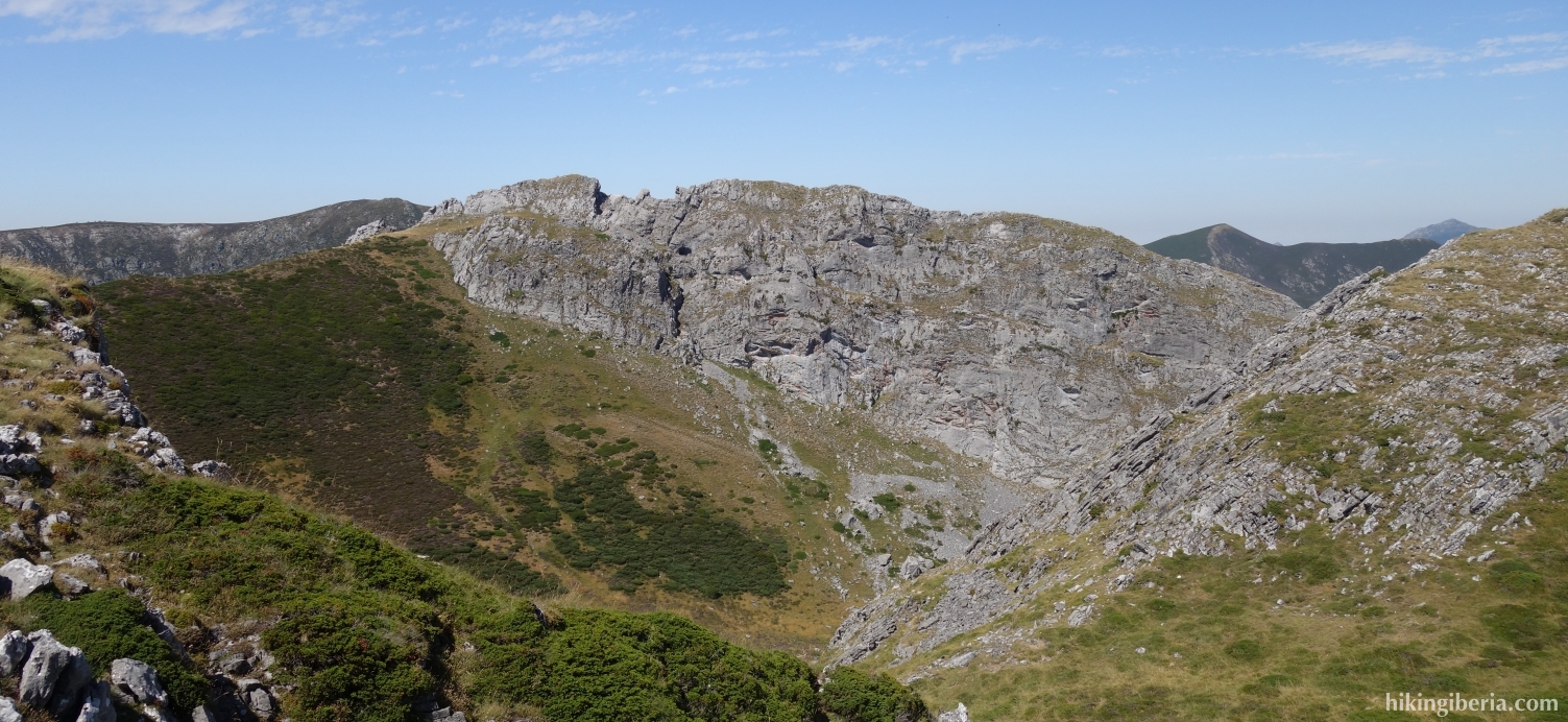
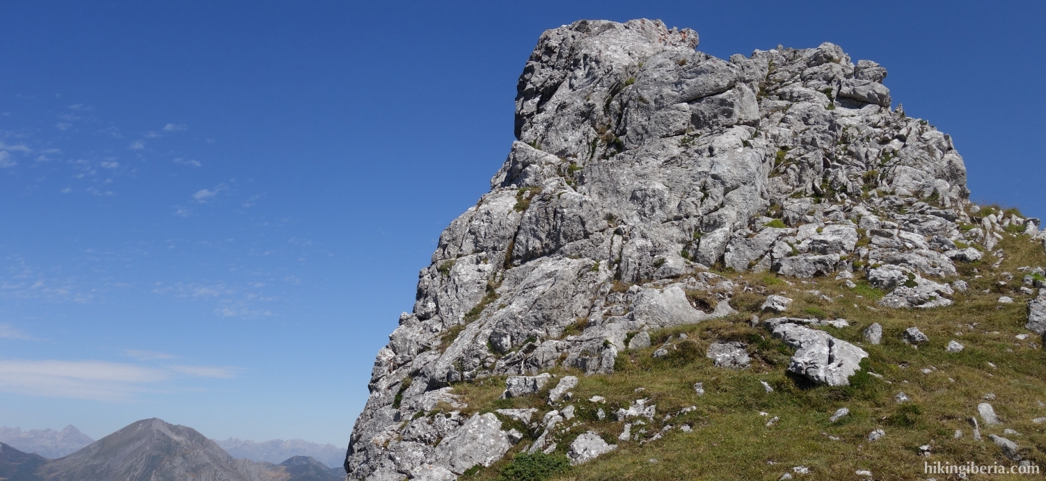
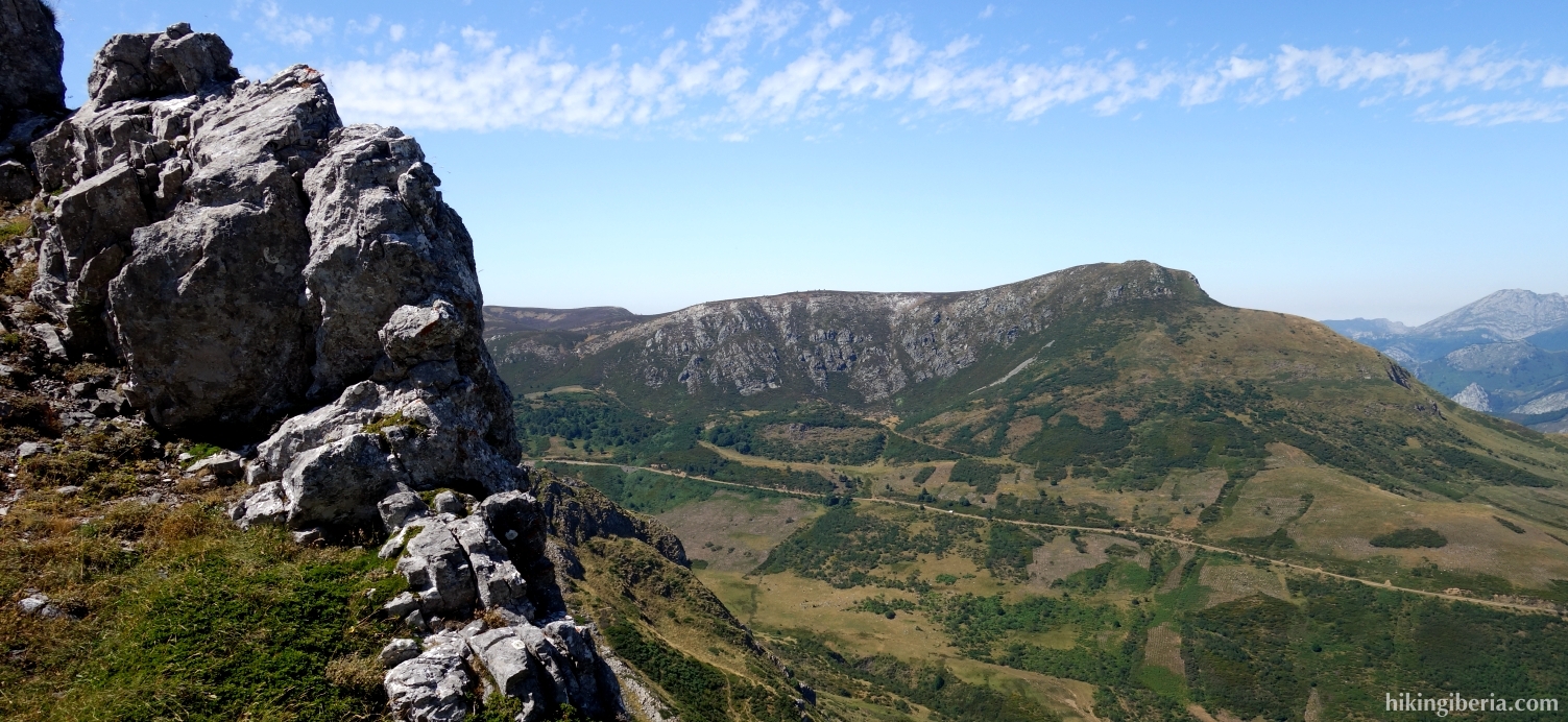
- The path over the ridge is somewhat difficult at various points and takes us via stones and rocks to the Pico Lago (15). From the Pico Lago we continue the route in a southeasterly direction, downhill, without a clear path. In this way we eventually reach the tip of this ridge (16), where we have a nice view.
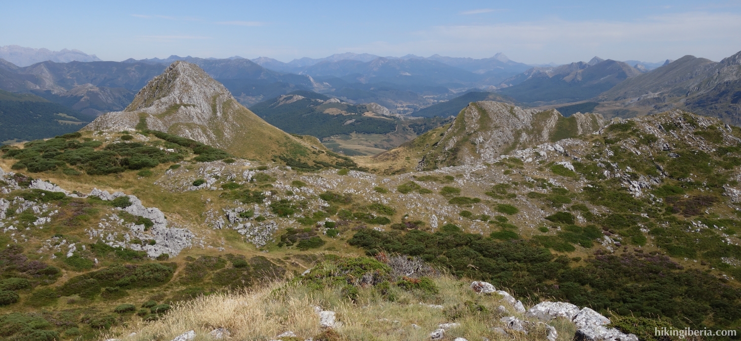
- Walk back a bit over the ridge and turn right onto a path, towards the Collado de Cagüezo (18). From here we go straight for a short while to the spectacular peak of Pico la Cerra (19) with nice views. From the Pico la Cerra we walk back to the Collado de Cagüezo (18) where we turn right.
- After about 10-15 minutes (20), be careful not to miss the trail to the right, which turns northeast and continues down the mountain. Fifteen minutes later at the Y-junction (21), we turn left. A few minutes later, where the path turns to the left (22) we take a narrow path straight ahead.
- After a few minutes we turn left of the path (23) through the open field towards the wide path that we see right in front of us and where we turn right (24). After ten minutes we leave the dirt road and we turn right (25), in the direction of the Ermita de la Virgen de Riosol that we see in front of us.
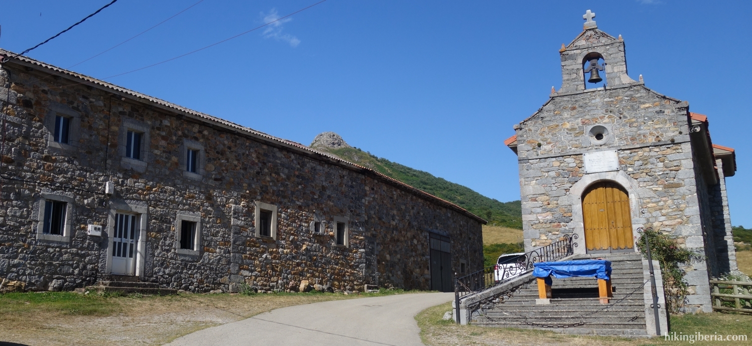
- In this way we eventually reach an unpaved road (26) where we turn left. At the Ermita de la Virgen de Riosol (27) we follow the sign to the Puerto de Tarna, go immediately left through a gate and behind it on the right we find the red and white marked GR-1, which takes us back in one kilometre to the Puerto de Tarna (1).