NL
NL  IT
IT  DE
DE  ES
ES  EN
EN 
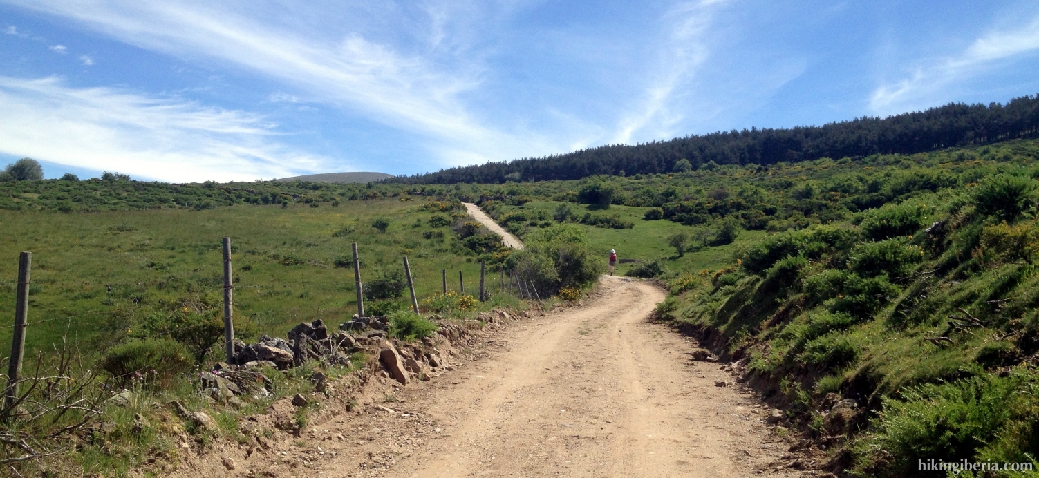
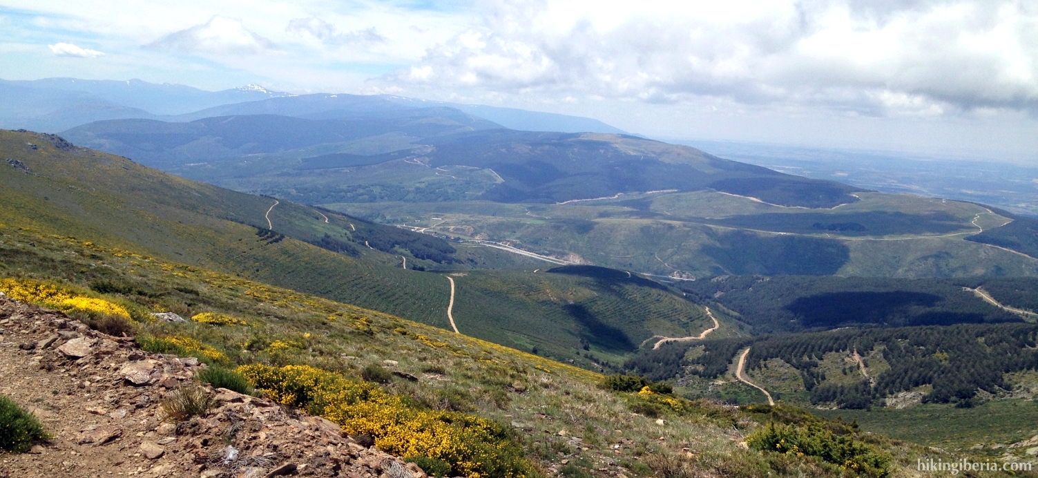
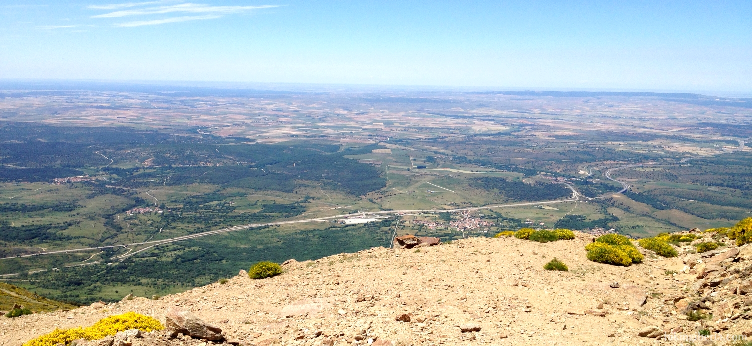
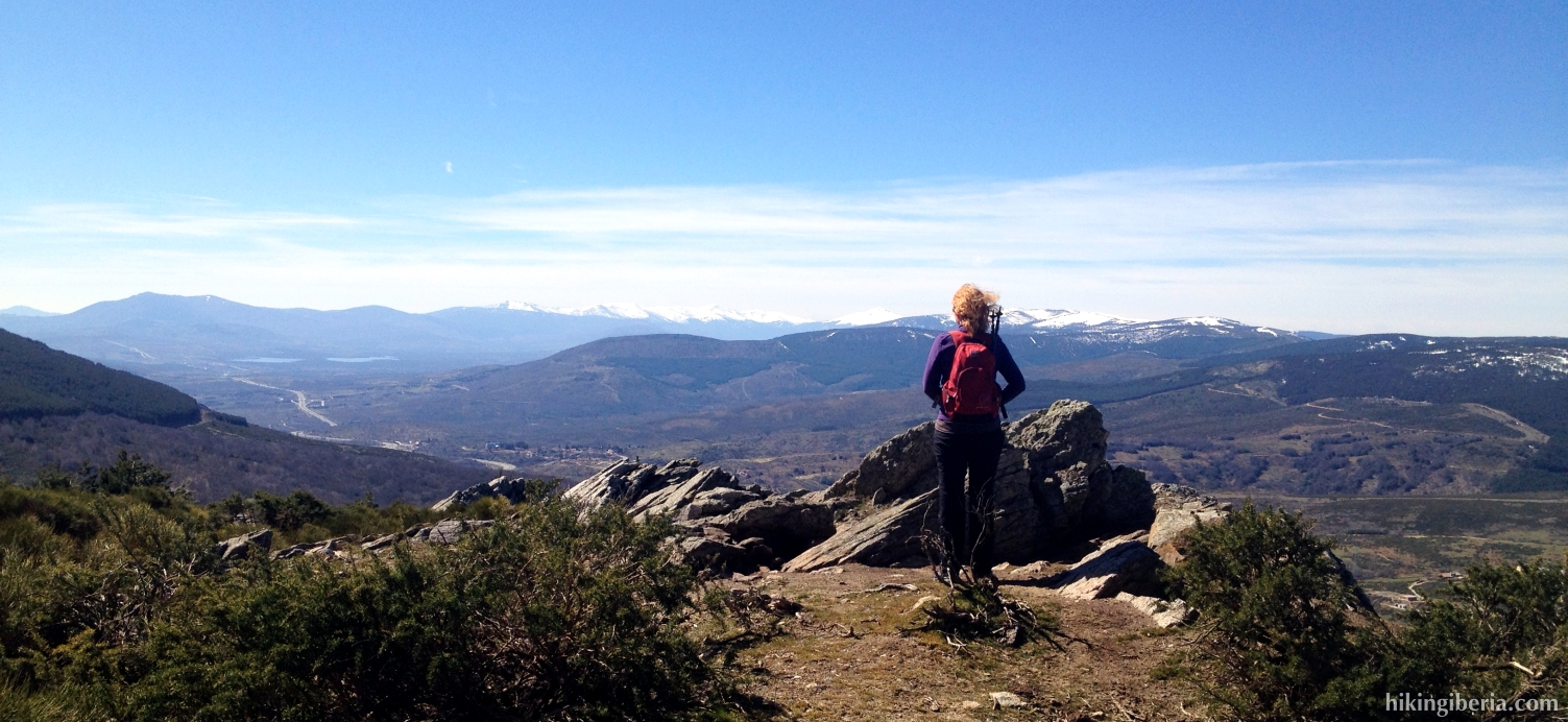
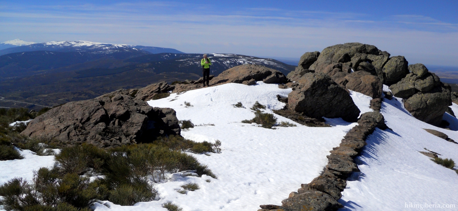
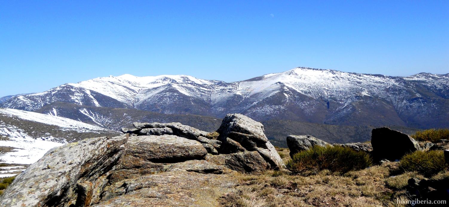
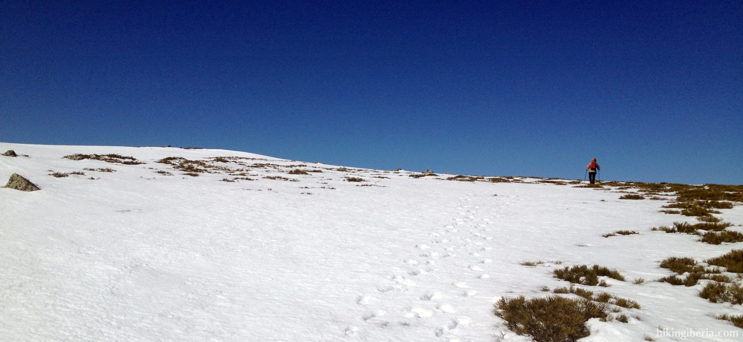
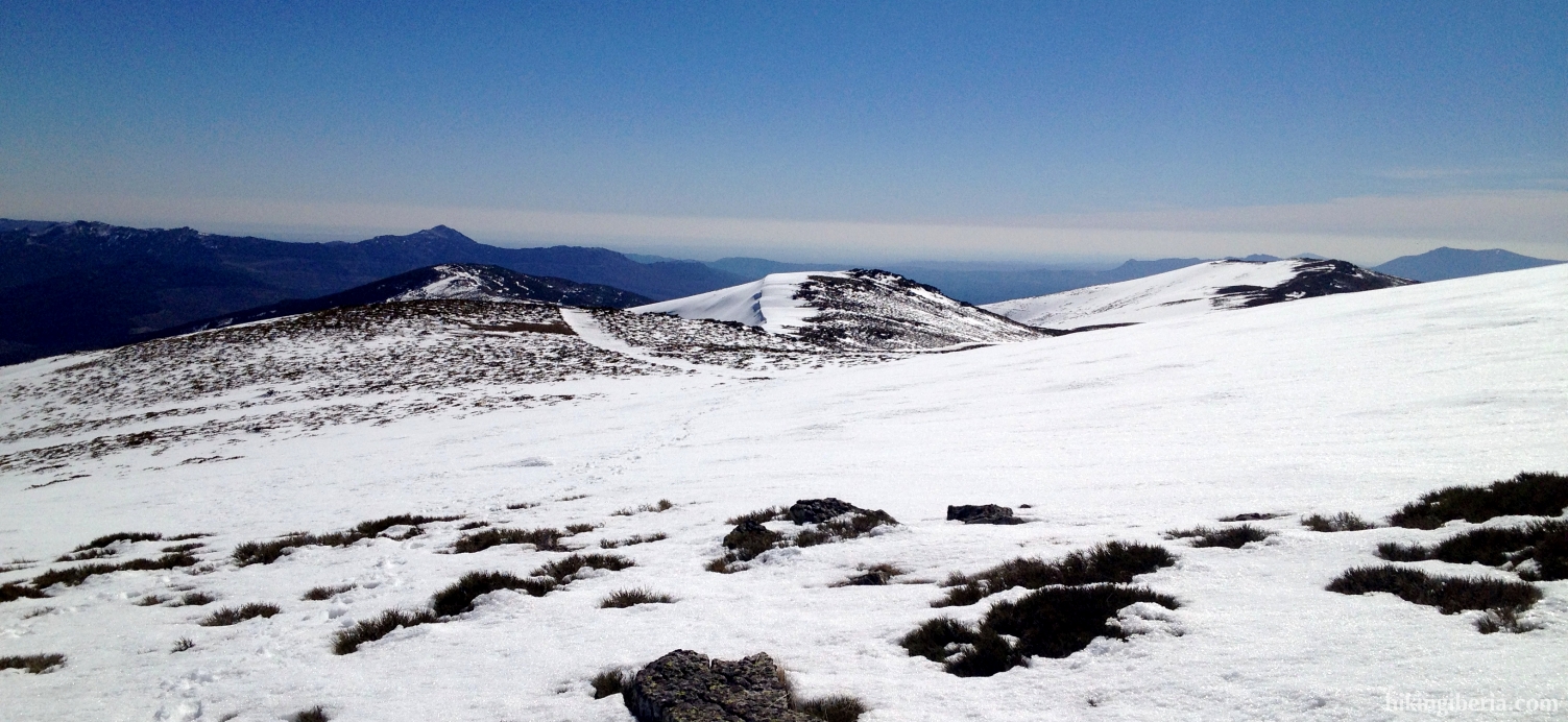
This hike departs from the far north of the province of Madrid, from the Puerto de Somosierra, where the A-1 at 1,444 meter makes it pass-through to the province of Segovia. The route runs to the Pico Tres Provincias, which owes its name to the fact that it is the frontier between the three provinces of Madrid, Segovia and Guadalajara. It is a flat peak that gives a beautiful view on the mountains of Guadalajara and the Sierra Norte of Madrid. On the way back we can optionally visit the waterfalls of the Chorrera de los Litueros.


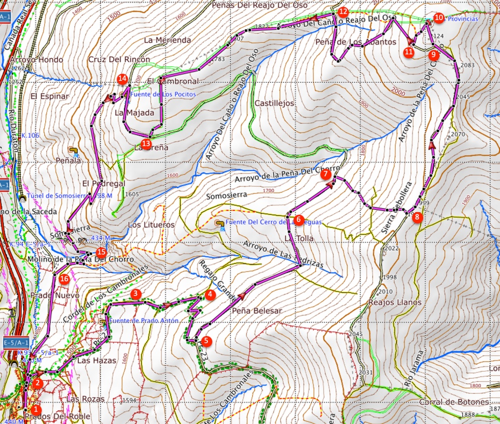
- From the church (1) we walk a bit further along the N-1 to the Puerto de Somosierra, until the gas station (2). Behind the gas station we enter a dirt road at the right and go over a cattle grid. Straight behind this cattle grid at the junction we turn right, onto a road that initially is paved.
- We stay on this partially paved, partially unpaved road and ignore various side-trails. Just above 1,600 metres we get at a Y-junction (3) were we turn left, further uphill. Further on at a Y-junction (4) we keep right, further uphill and then follow the bend to the right.
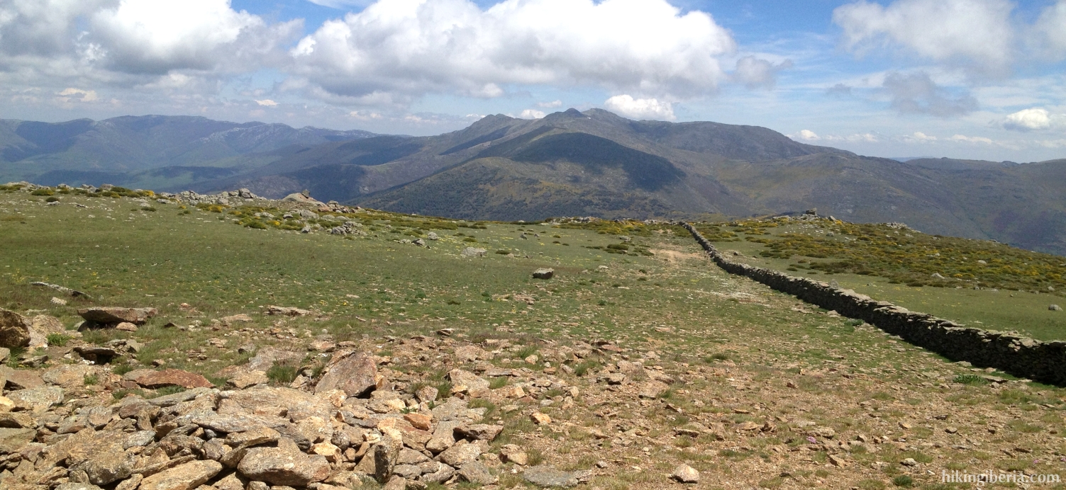
- At about 1,700 metres we reach a T-junction (5) where we turn left. We now walk quite some time horizontally and reach a Y-junction (6) where from the left a trail joins. We stay on the right here and stay on our trail.
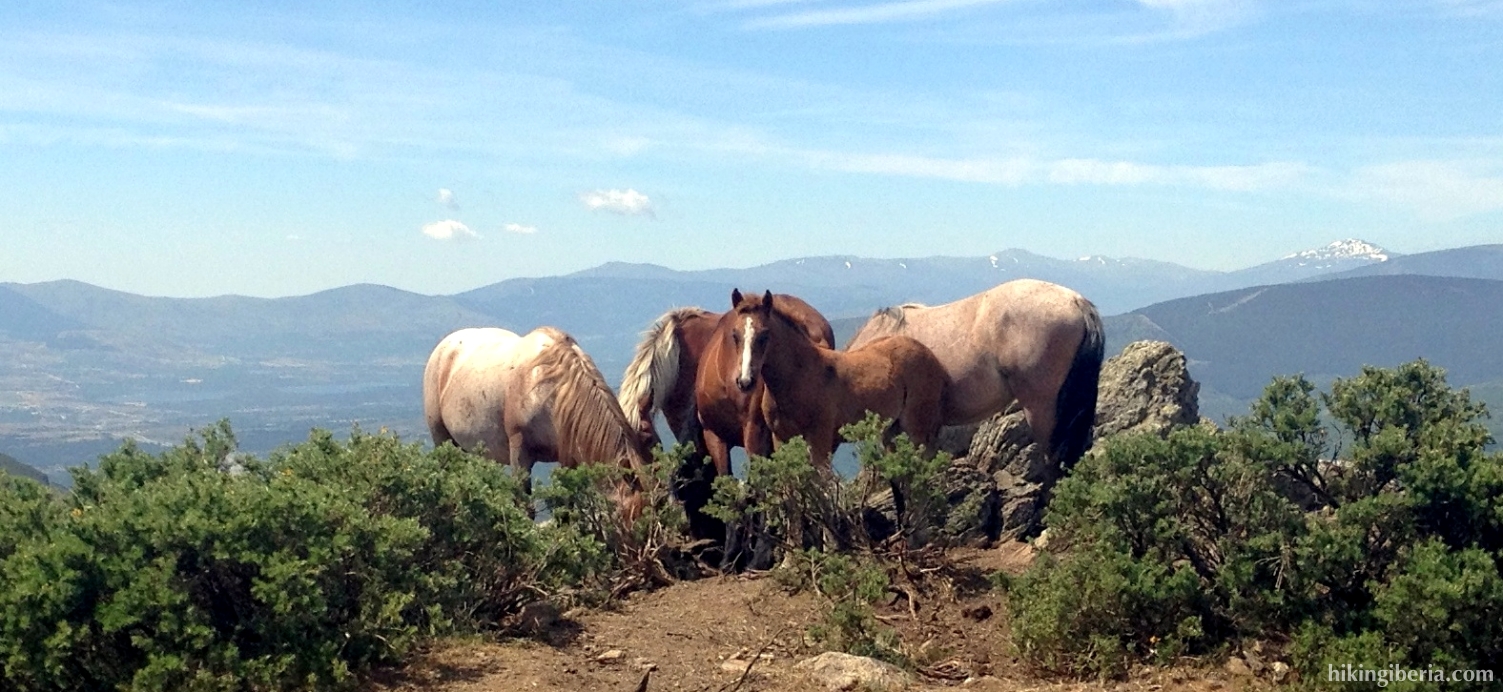
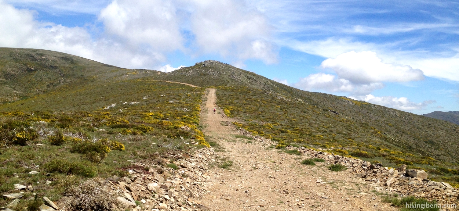
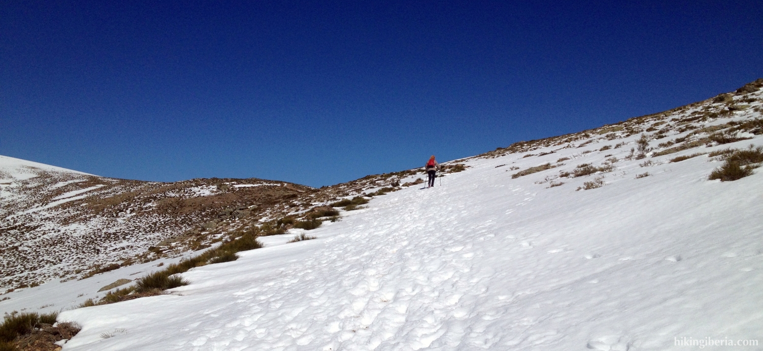
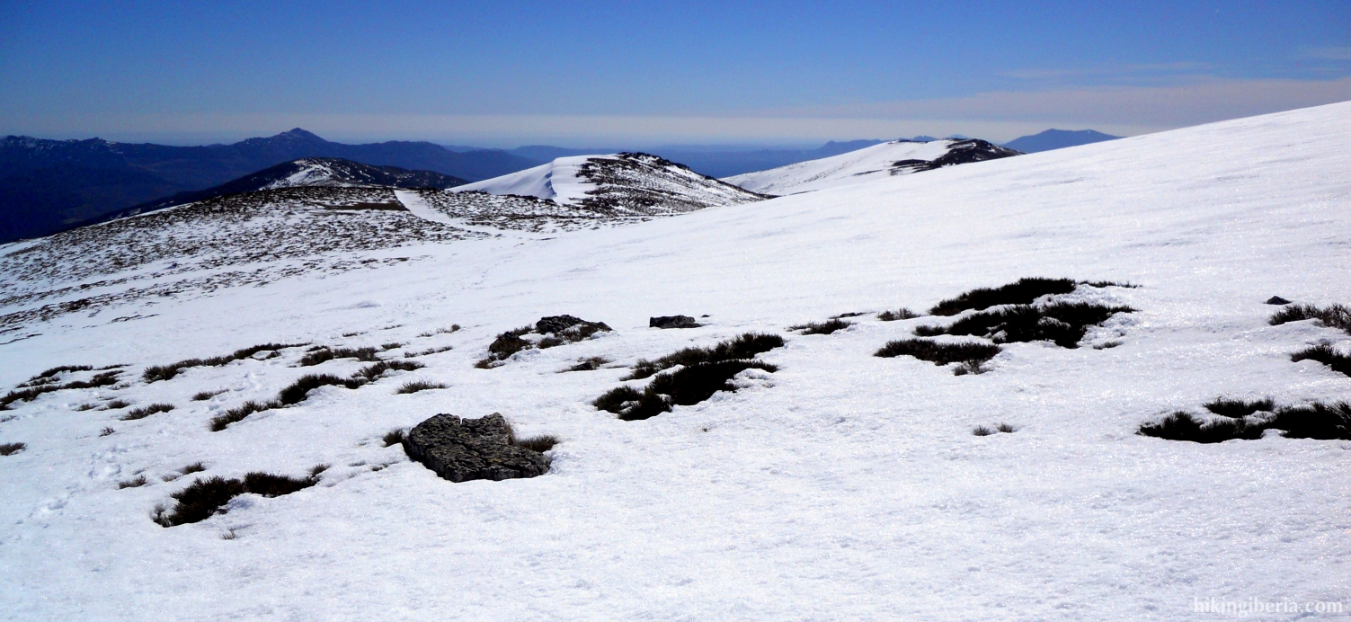
- We keep following this trail for a while and cross a small stream. At a few bends (7) we need to go right without a trail uphill against the slope, finding our way towards the crest. Once on this crest (8), just below 2,000 metres, we reach a dirt road, go left and can see two peaks in front of us.
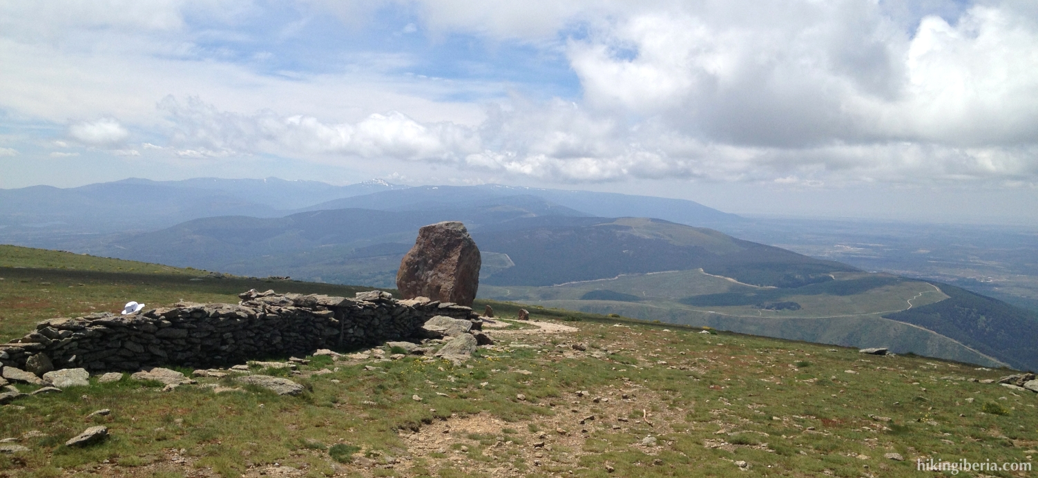
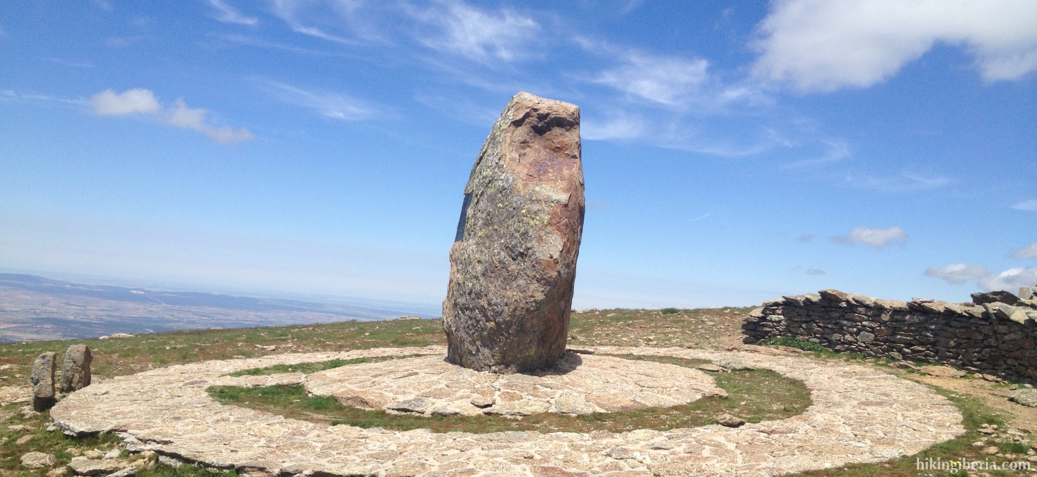
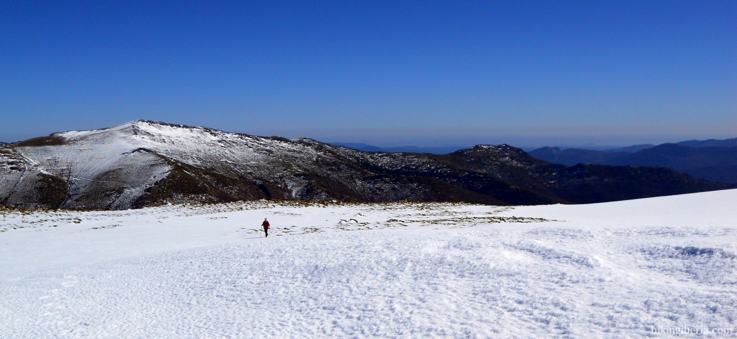
- We stay on this road until we just past the bend reach the highest point of this road (9). We now turn right towards a pile of stones. Behind it we can quickly see the peak of the Pico Tres Provincias and without too much effort we walk towards it.
- From this peak (10) we take the way back, keeping slightly more to the right following a track. This will bring us back to the dirt road (11) where we turn right and immediately start a heavy descent.
- We eventually reach another path (12) where we turn left. We follow this path quite some time until at about 1,700 metres we encounter a cable with behind it a fork (13), where we turn right.
- We follow this trail for a while, go over another cable and continue a short stretch until we turn left onto a trail (14) that lies at right angles with our trail and runs downhill. We now go through a gate and walk further downhill, parallel to the A-1.
- We walk a while on this trail and go over a brooklet (15). Here we can optionally turn left towards the waterfalls of the Chorrera de los Litueros. When we continue straight on we eventually reach the old N-1 (16), where we turn left and then walk back to Somosierra.