NL
NL  IT
IT  DE
DE  ES
ES  EN
EN 
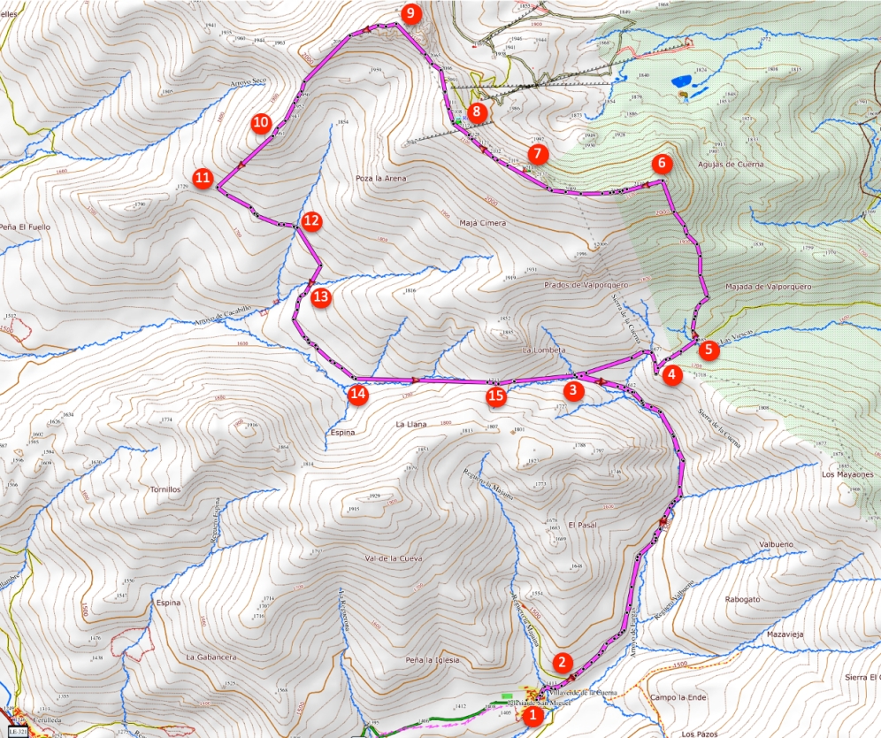
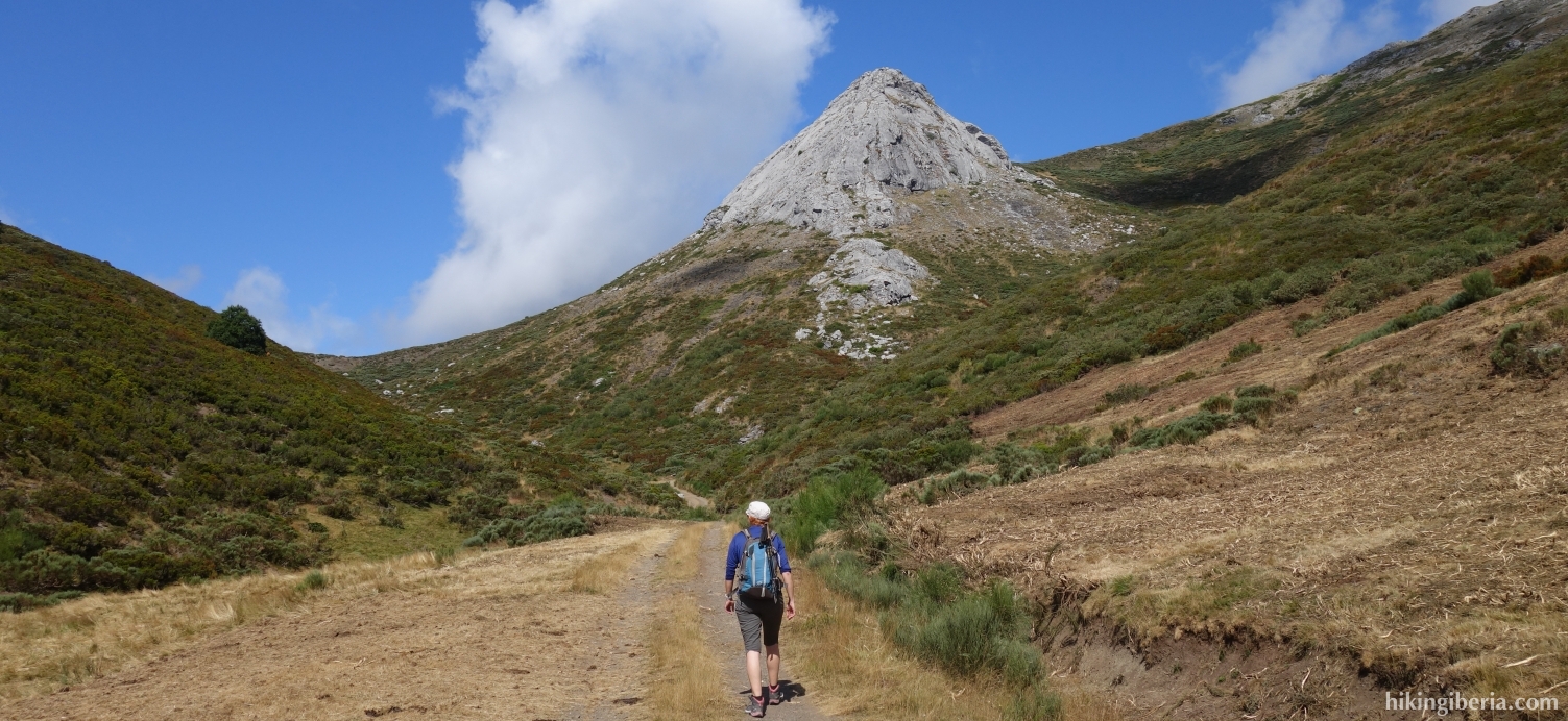
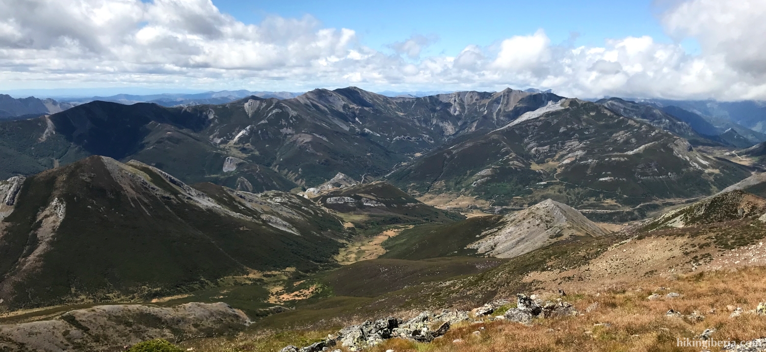
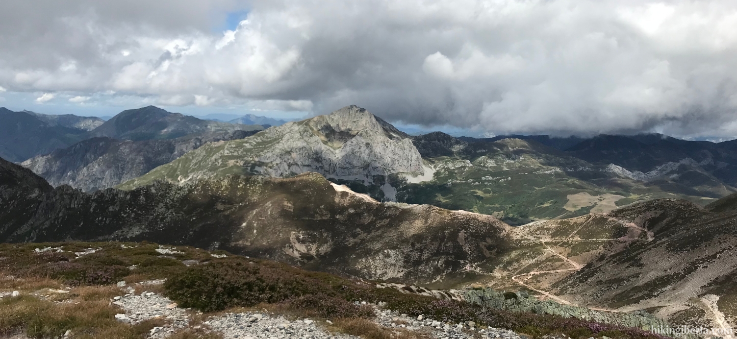
On this route in Los Argüellos, in the Cantabrian Mountains of León, we start from the village of Villaverde la Cuerna, at 1,430 meters one of the highest villages in León. The route leads past the peaks of the Cuerna and the Roldán to the Peña Agujas, a peak at 2,141 meters with beautiful all-round views. The way back from the Peña Agujas is for a large part without a trail and through vegetation, which makes the hike somewhat difficult.
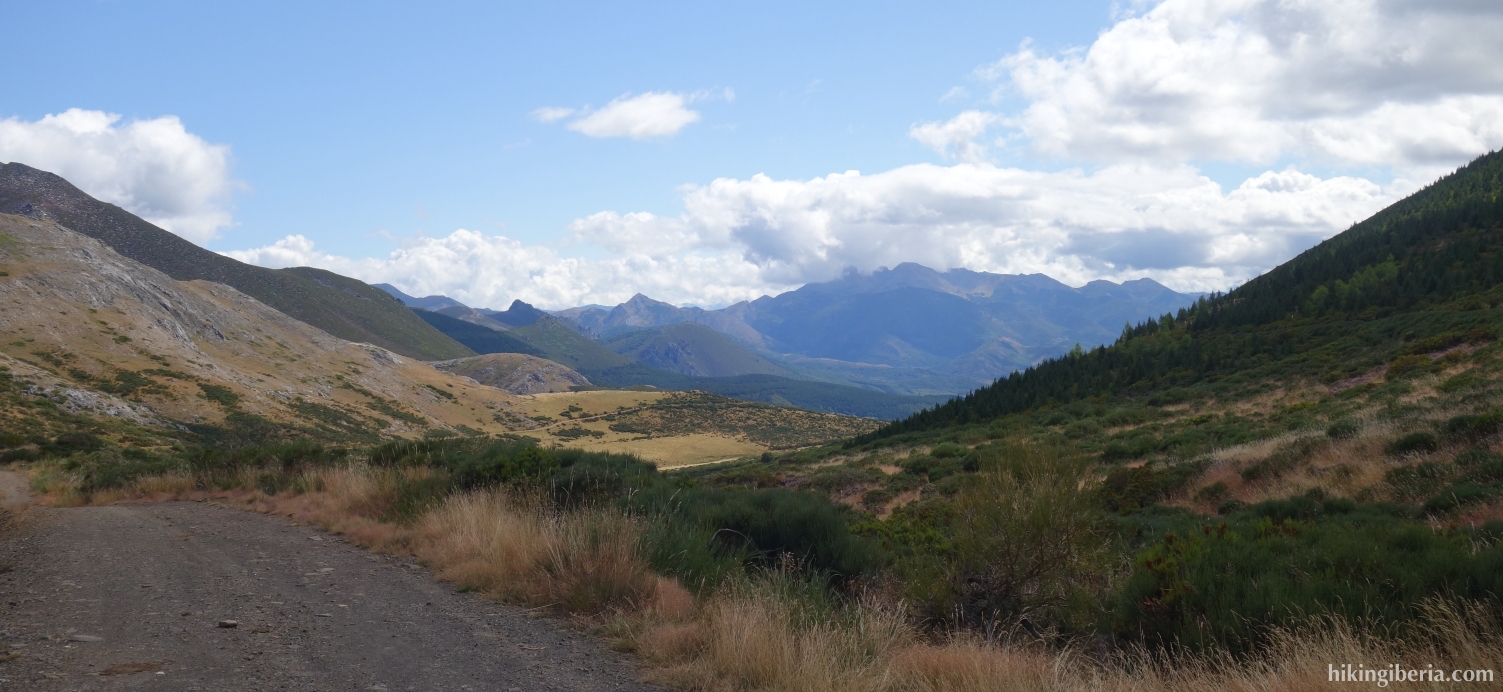
- Walk further out of the village from the central square (1). The road soon becomes unpaved. After a few minutes we see an unpaved road (2) on the left that we ignore.
- We follow this dirt road, which is occasionally paved, parallel to the river Reguero Valbueno. After about 40 minutes in total we see a narrow path in the bend of the road (3) on the left, but we continue here following the unpaved road, with the bend to the right.
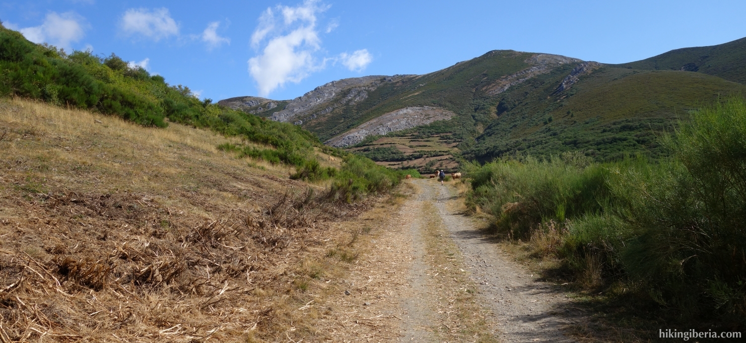
- Further on (4) we go through a gate and the landscape opens up for us, which provides a nice view. Continue straight here and do not turn right onto the path.
- About five minutes later we leave the unpaved road and turn left onto a path (5). We are now walking up the slope. There is no clearly discernible path, so you have to find the route up somewhat on intuition. However, this works without any problems.
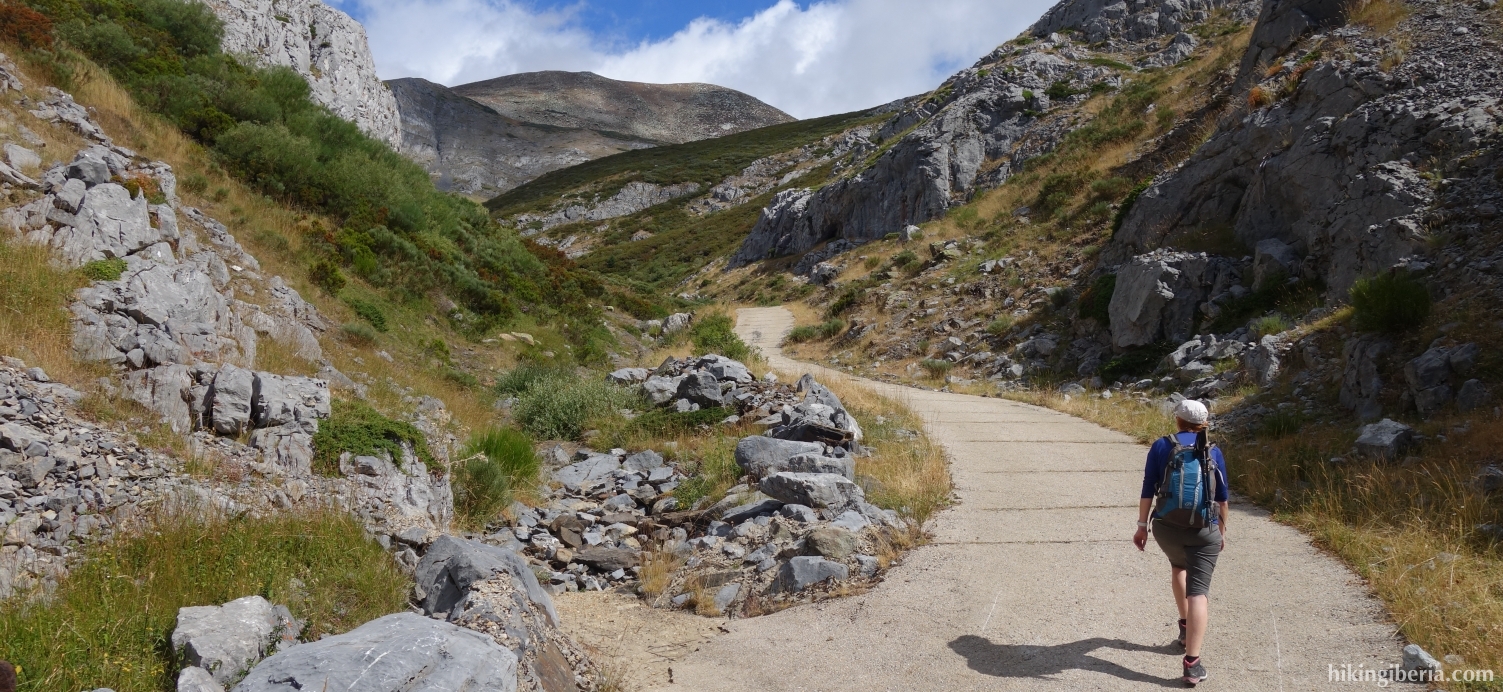
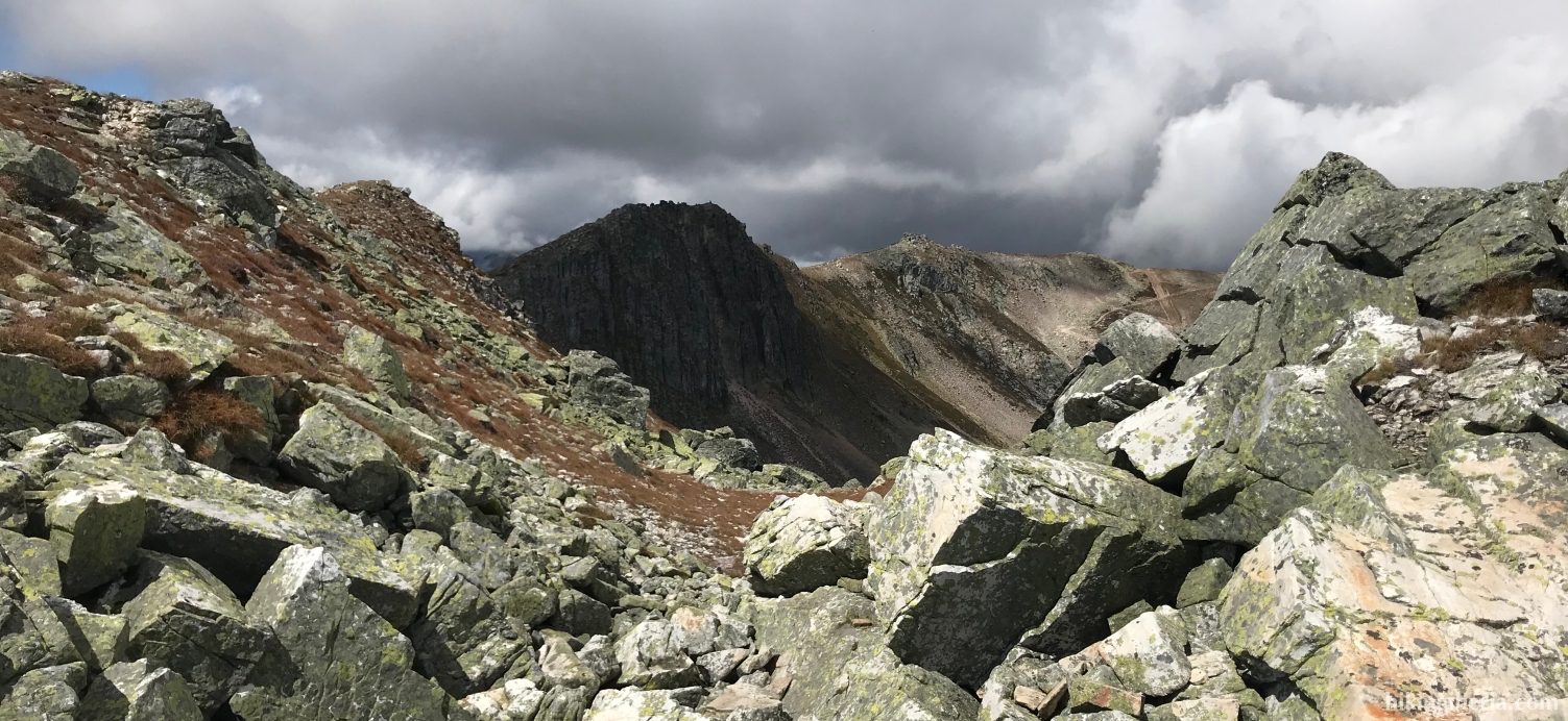
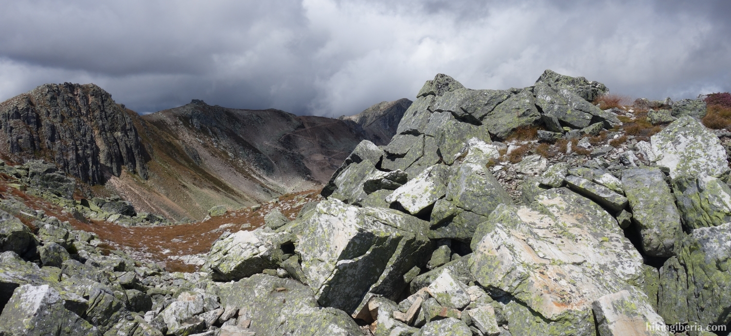
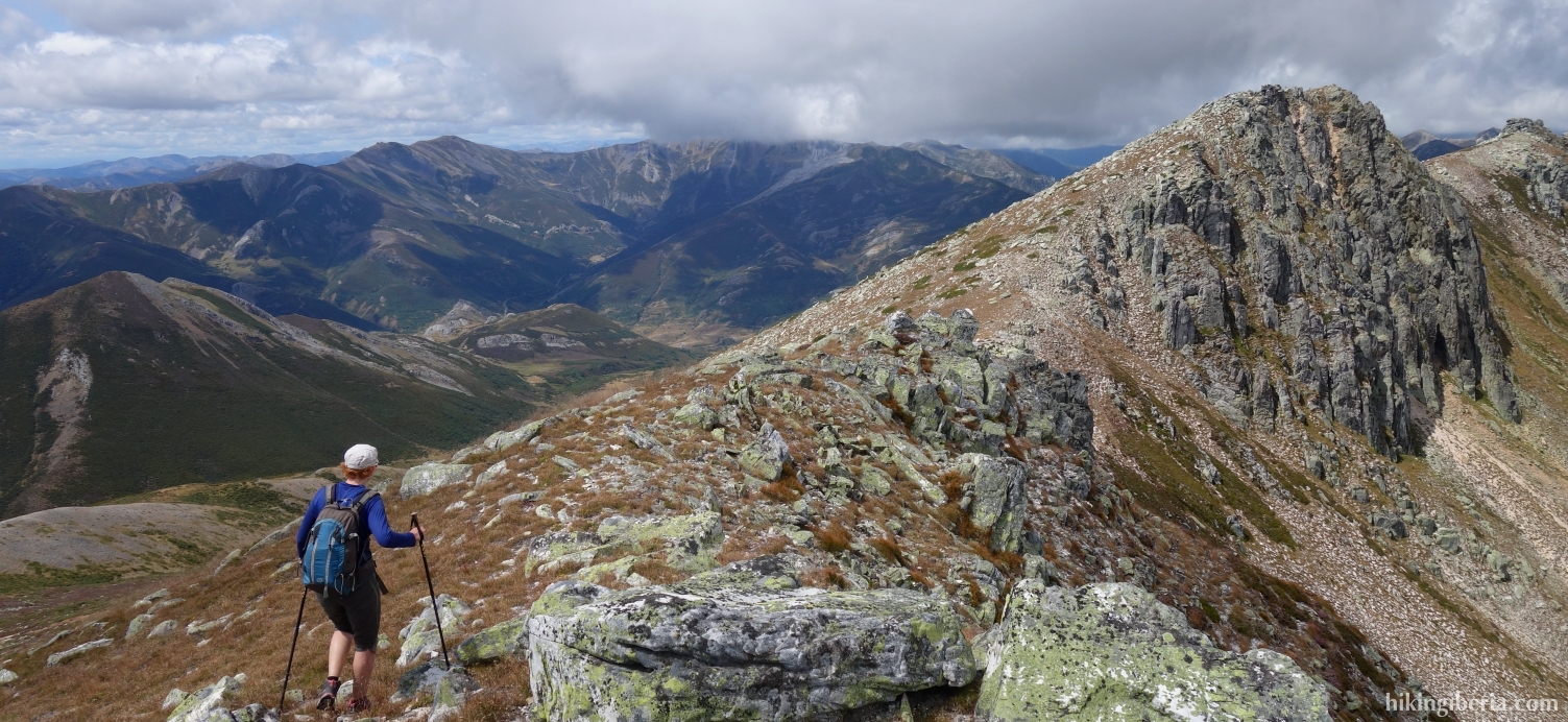
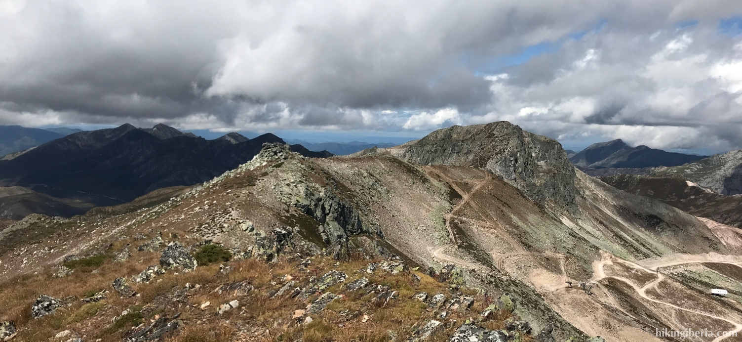
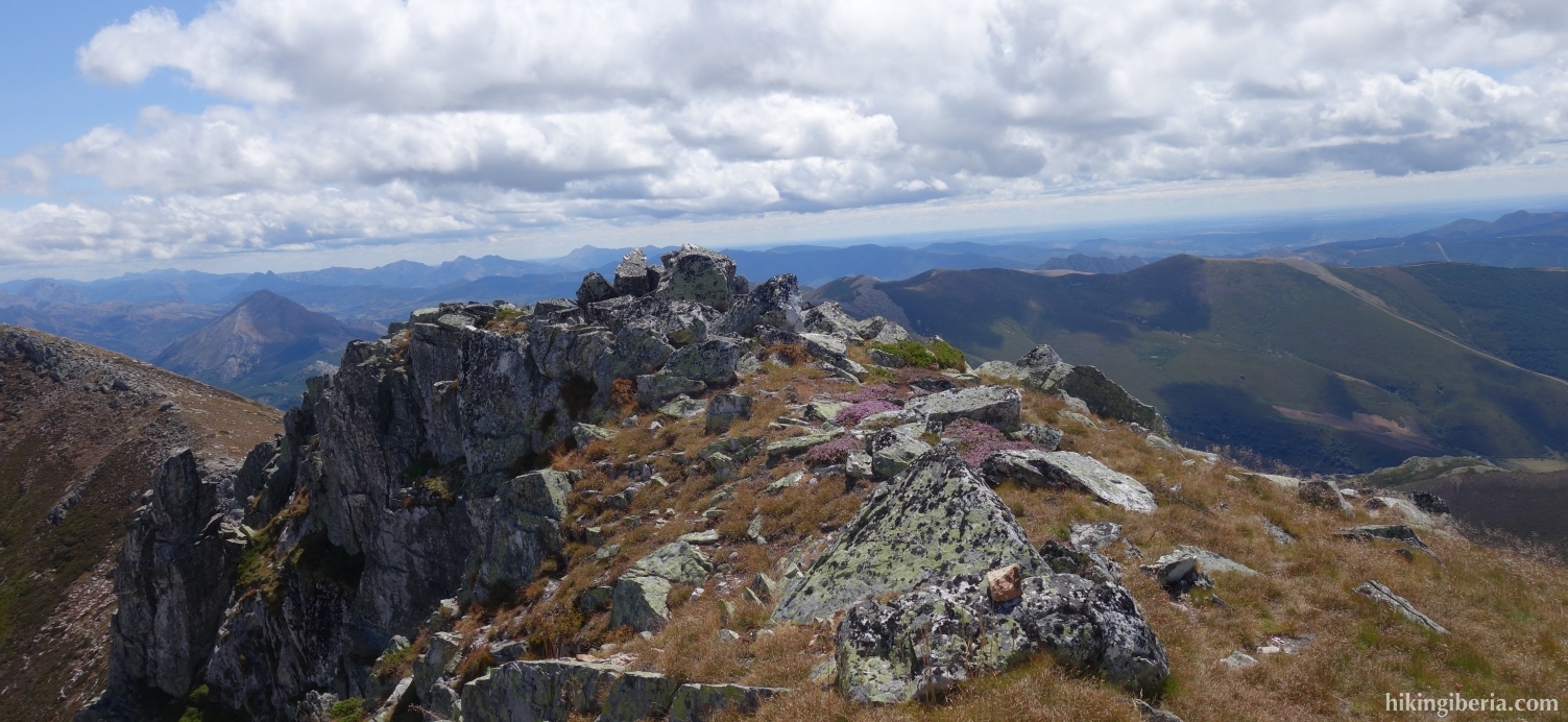
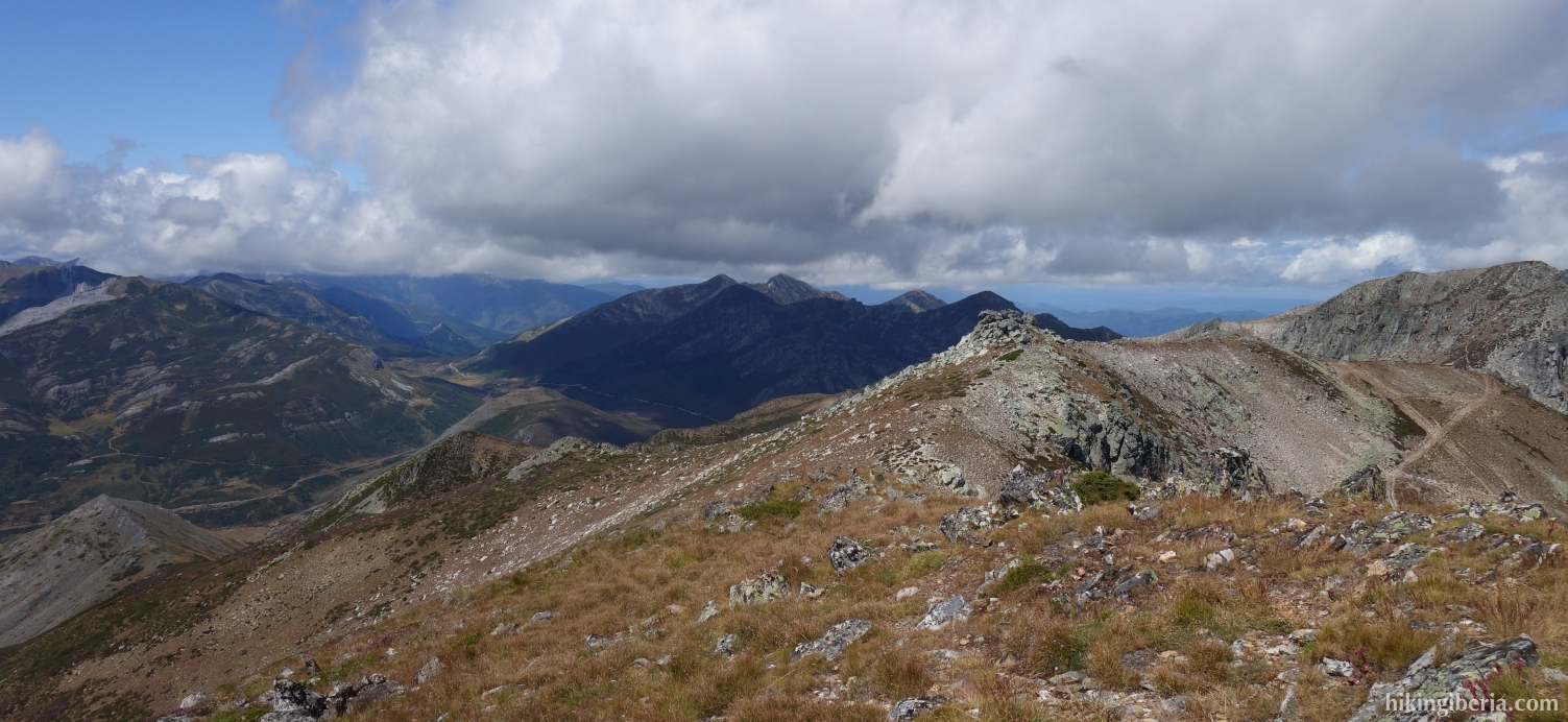
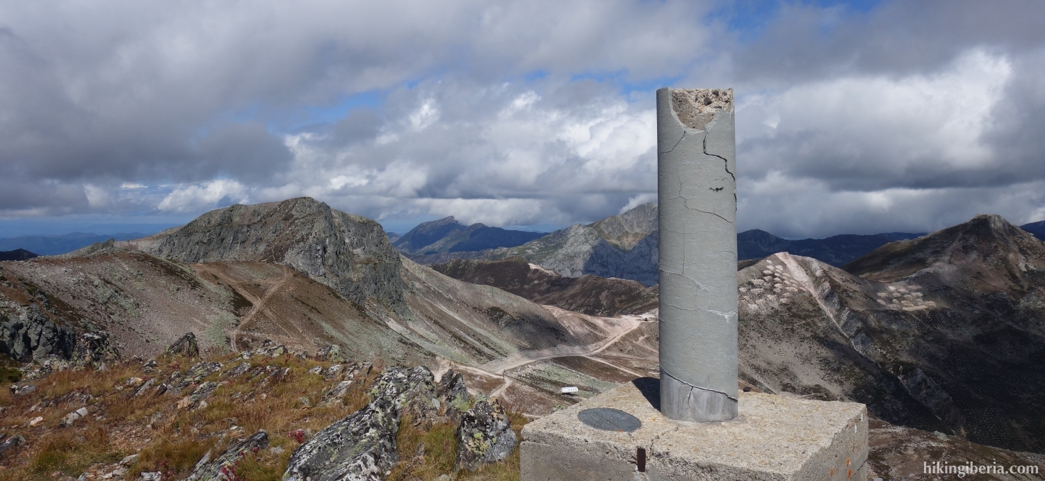
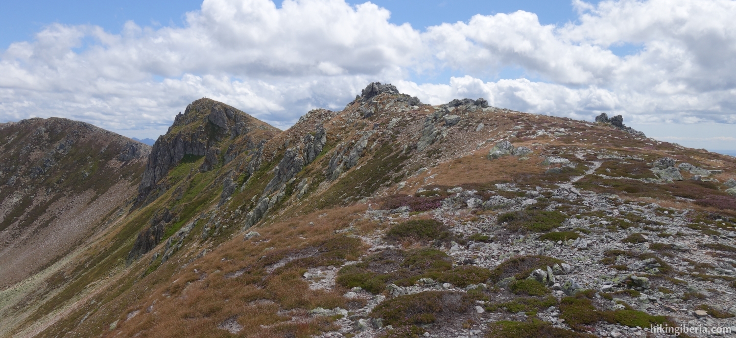
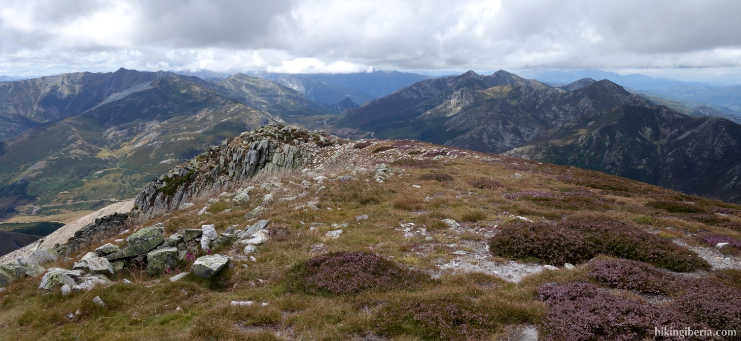
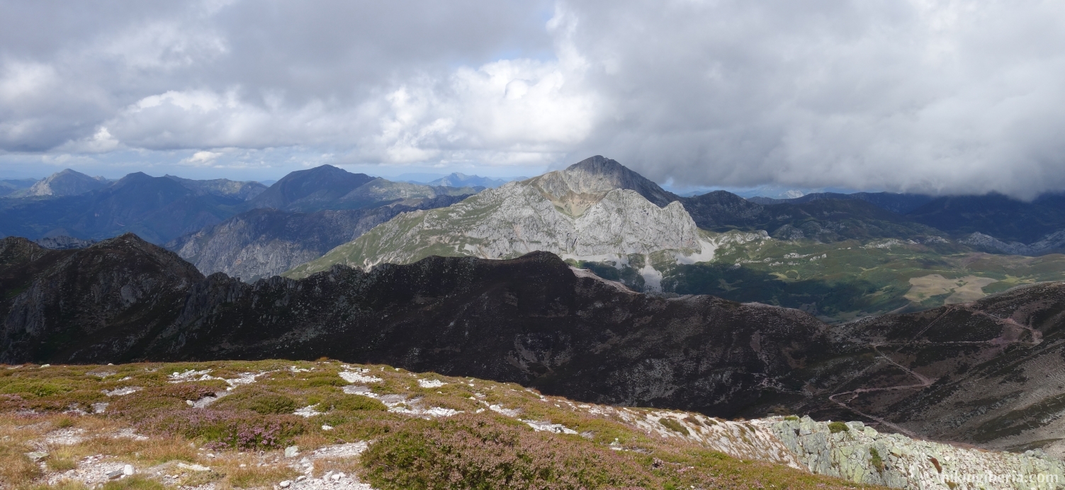
- After about 400 metres of ascending, we reach the ridge at the Pico Redondo (6) where we turn left. We now follow the ridge for quite some time and pass the peaks of the Cuerna (7) and the Roldán (8). After the Roldán, the trail descends for a few tens of metres and then rises again to 2,141 metres, to the peak of the Peña Agujas (9).
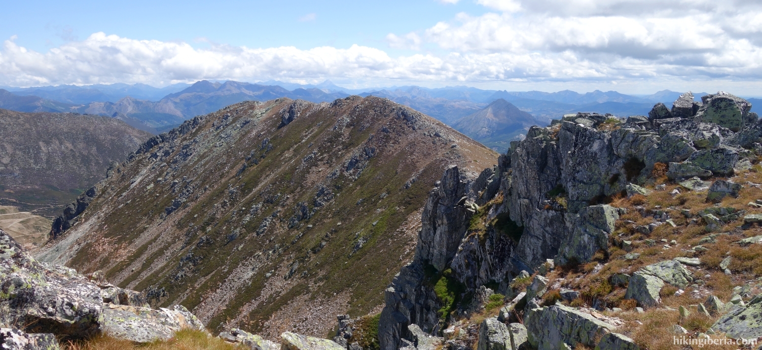
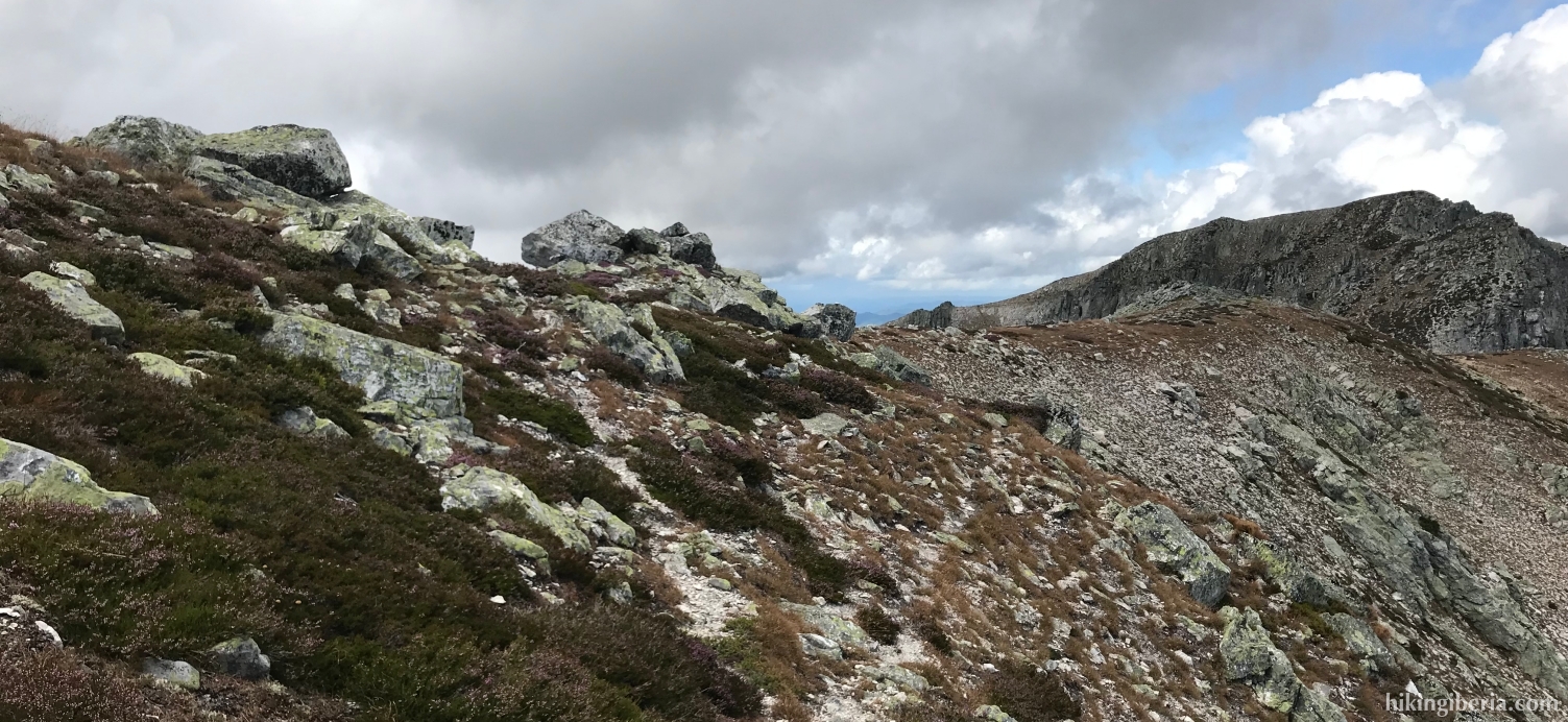
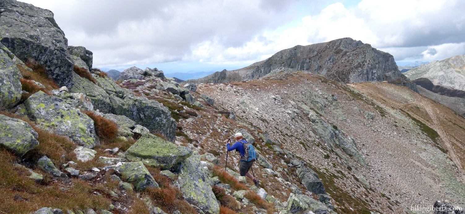
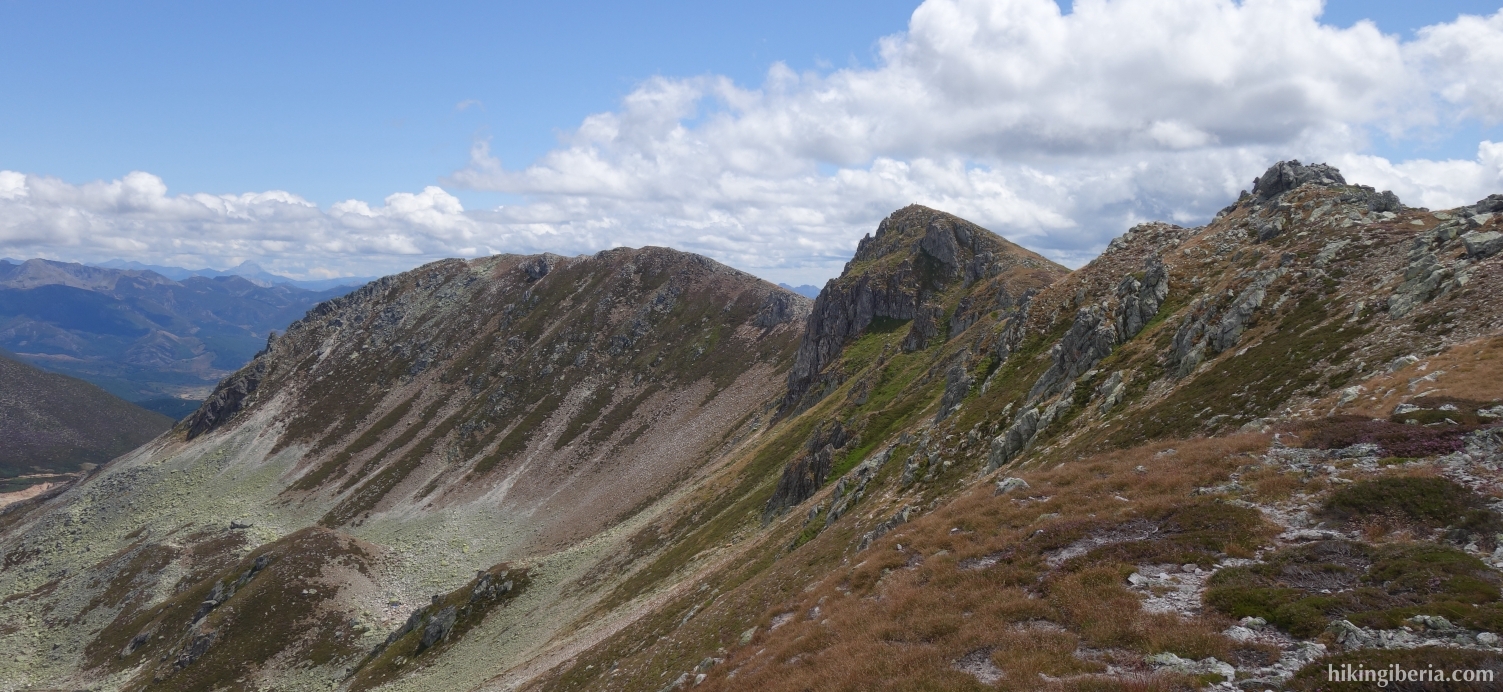
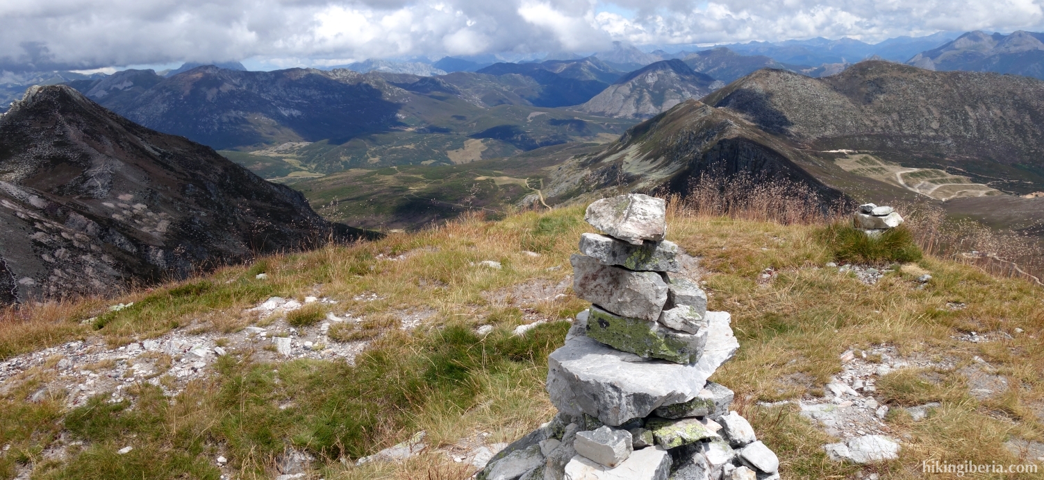
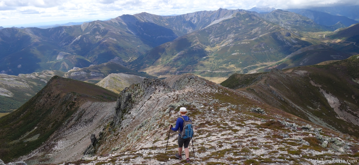
- From the Peña Agujas we walk over the ridge in a northwesterly direction, reaching a peak at 1,961 metres (10) in half an hour. We descend further via the ridge and come through a somewhat difficult part with boulders. Once past these boulders, we continue our way in a northeasterly direction (11).
- Without a path between the vegetation, we continue in a northeasterly direction. After about 25 minutes we cross the stream Arroyo de Cacabillo (12). About fifteen minutes later we cross the Arroyo de Cacabillo again (13) and we see a path on the right, which we follow, in a northwesterly direction.
- Further on, the trail disappears again and we keep going northeast again. We walk out of the vegetation so that we can walk a lot more comfortably (14). We now walk east for twenty minutes and reach the Collado de Valporquero (15).
- Here we go over the barbed wire and descend via a path, back to the dirt road where we already walked on the way out, and now turn right (3) and walk back in half an hour via the same road to Villaverde de la Cuerna (1).