NL
NL  IT
IT  DE
DE  ES
ES  EN
EN 
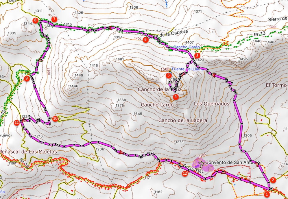
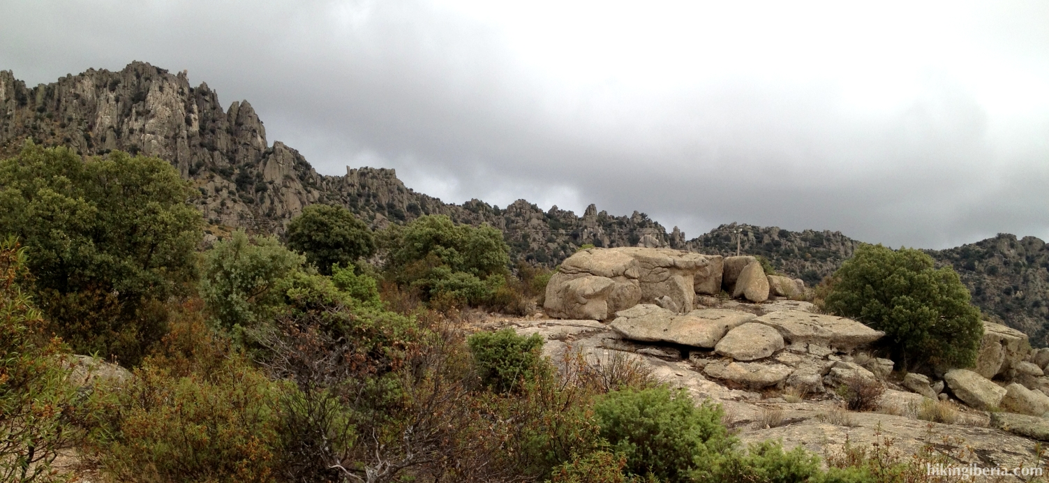
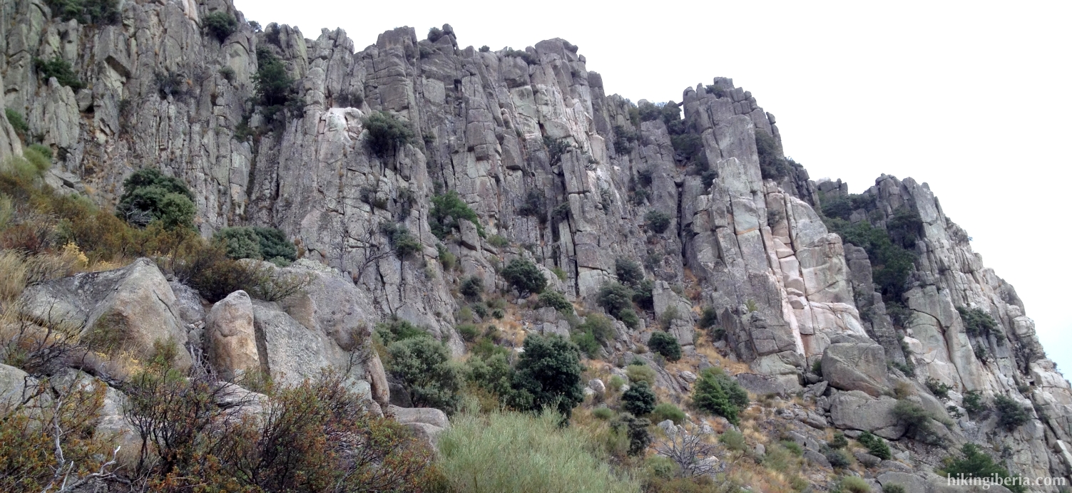
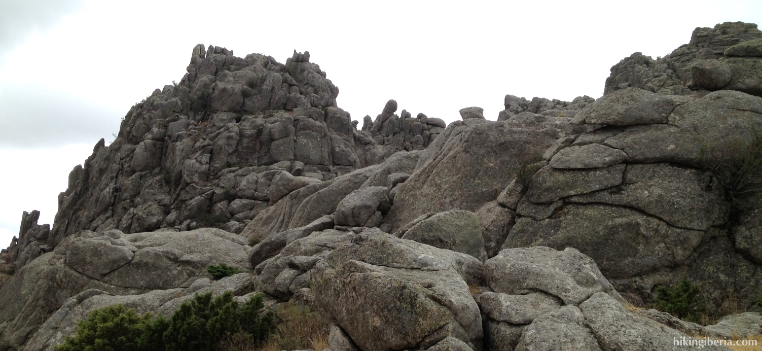
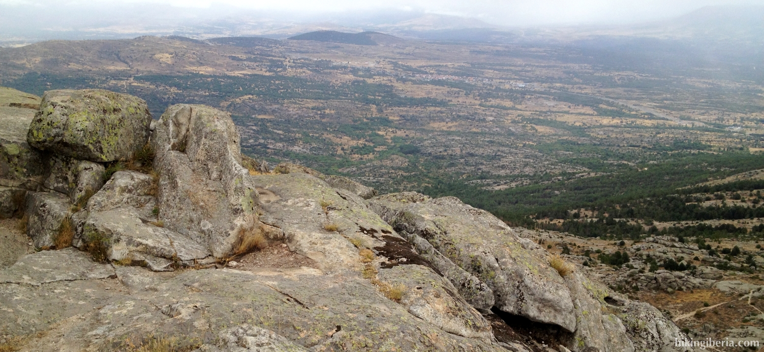
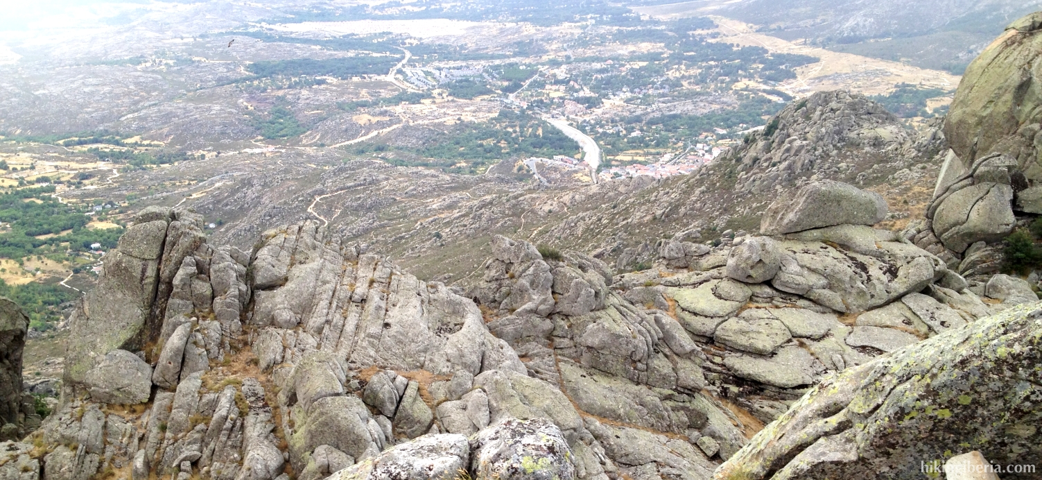
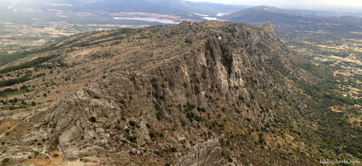
This hike takes us to the Cancho Gordo, the highest point of the Sierra de la Cabrera. The Sierra de la Cabrera is a small mountain range close to Madrid that stands out as a spectacular rocky wall against the surroundings and can be seen from far from the A1 Madrid-Burgos. The hike starts with a strong climb that takes us relatively quickly to the Cancho Gordo, from where we have a spectacular view over the entire Sierra de la Cabrera and the surrounding area.
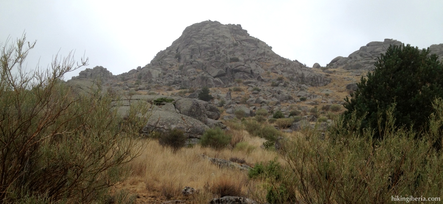
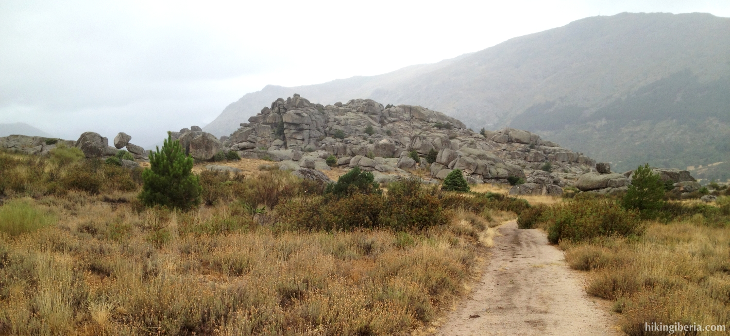
- From where we have parked (1) we take the trail towards the cliff faces of the Sierra de la Cabrera. About 50 meters further on we turn left onto a trail that is indicated with a signpost with “Cancho Gordo” (2). This trail is marked with milestones. A bit further on at a T-junction the path is both on the right and on the left marked with milestones. Here we turn left.
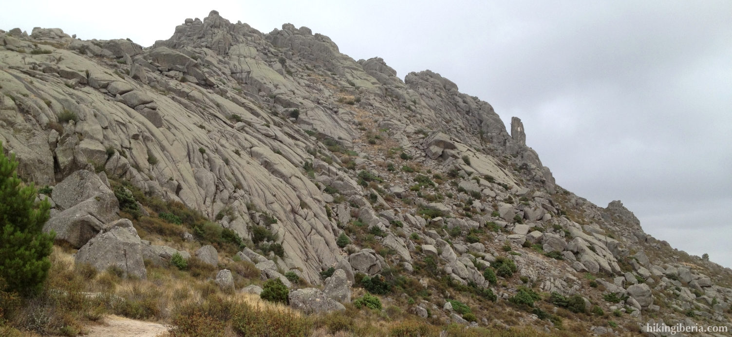
- After a heavy climb we reach the Col of the Alfrecho (3), from where we have a splendid view over the valley on the other side of the mountain. Our trail continues on the left side and quickly turns back in the direction from where we came from the valley. Through milestones this trail takes us to the Cancho Gordo.
- Before we arrive there we first reach a big rock (4). We need to go over it, then to the right to cross a field and on our right hand follow the milestones that over the rocks run on the last part towards the summit of the Cancho Gordo.
- From the summit (5) we follow the same trail back until we reach the Col of the Alfrecho (3). On the Col again we turn left, thus towards the valley on the other side of the mountain. This trail, which is marked white-yellow, quickly turns away to the left. Further on we get at a somewhat wider trail, where we turn left (6). A bit further on in a bend where there is a fork on the right, we keep left, which is clearly marked white-yellow.
- Next we get at a crossing of various paths (7), where we keep right downhill, still following the white-yellow marking. Next at a T-junction (8) we go left, still following the marking.
- At the next trail we turn left (9), uphill, which makes us leave the white-yellow marking behind. We ascend for a while.
- When the path no longer ascends, on the right we see a narrow trail (10), which we take. We descend again until we finally come to a different trail (11), where we turn left.
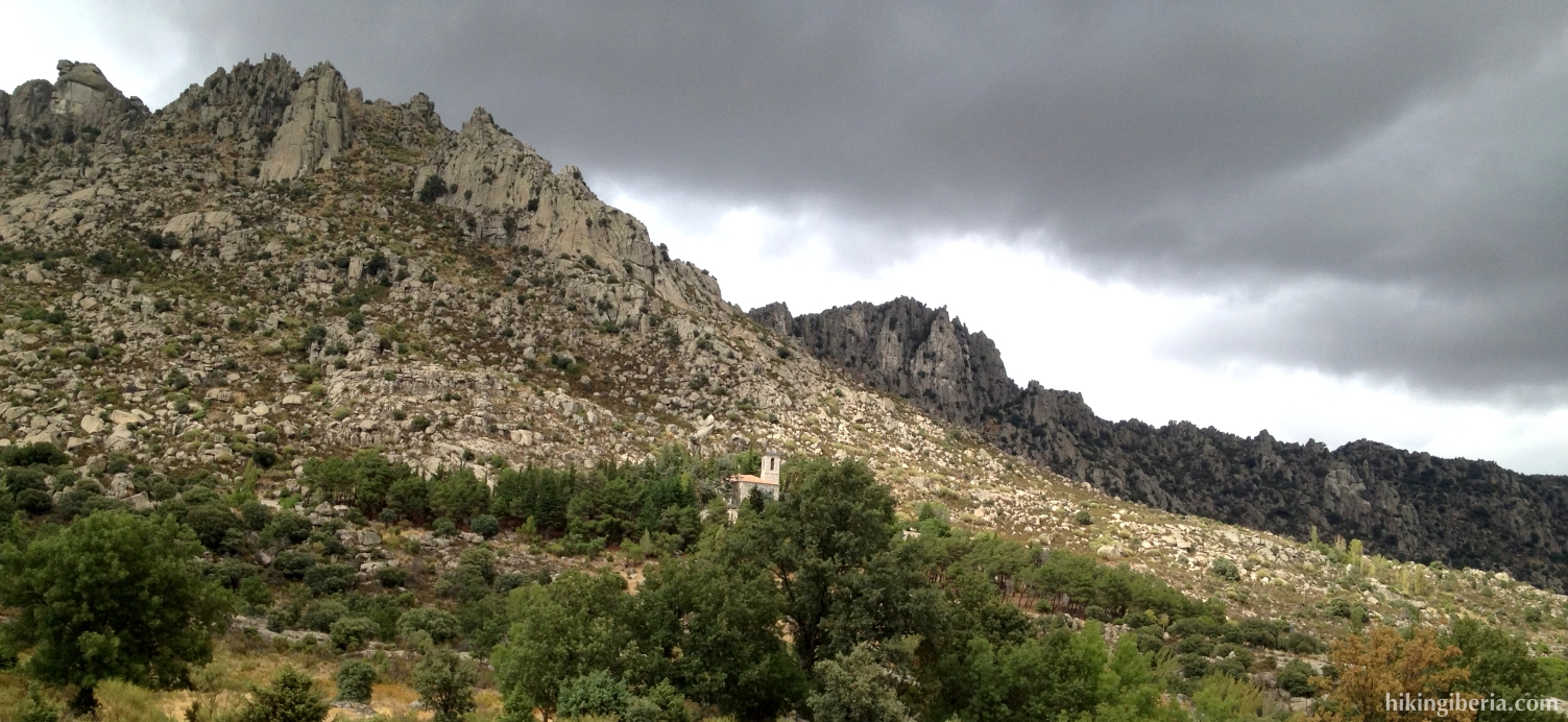
- We pass an antenna and keep left along the antenna without walking to the antenna itself. This path we follow for some time, which makes us eventually arrive at the GR-10 (12), where we turn left.
- Quickly we reach a paved road near the convent of San Antonio. Here we turn to the right and via this road we eventually reach the car park again (1).