 NL
NL  IT
IT  DE
DE  ES
ES  EN
EN 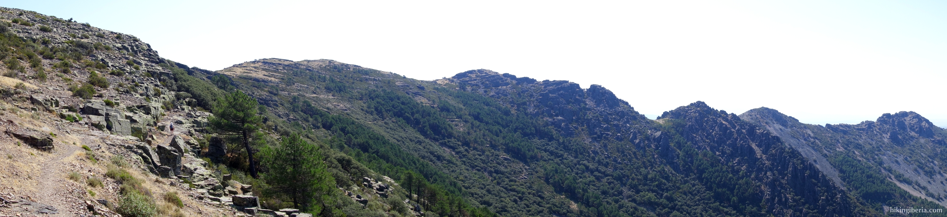

Sierra de Francia
The Sierra de Francia is one of the offshoots of the Central System, located between the Sierra de Béjar and the Sierra de Gata. It is partly located in the north of the province of Cáceres and largely in the south of the province of Salamanca. It is part of the nature park of Las Batuecas-Sierra de Francia, an area declared a natural park on 11 July 2000.
The park is located on the separation between two river basins: the rivers Alagón, Francia and Batuecas flow into the Tagus, while the Agadón flows into the Duero.
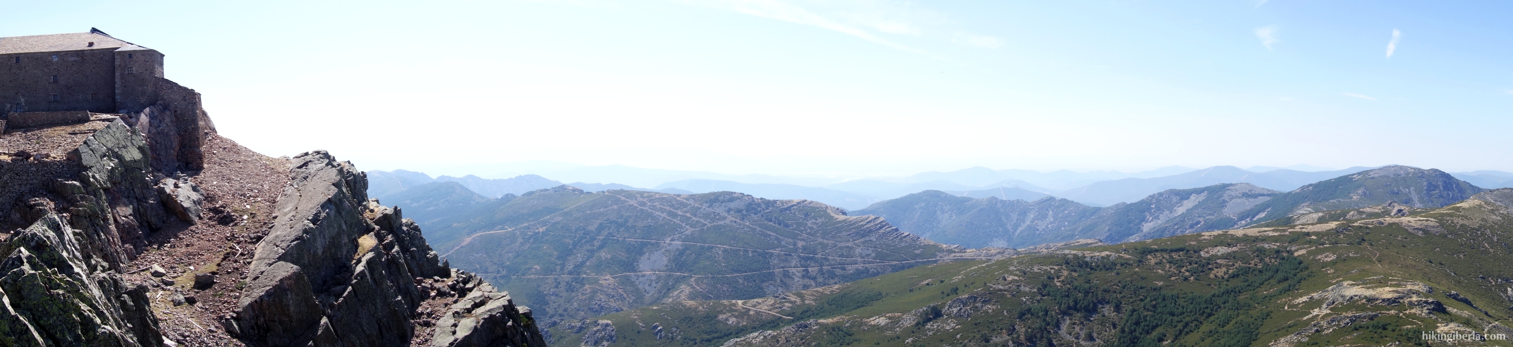
The Sierra de Francia is a relatively low mountain range, with the highest peak being the Pico Hastiala, at 1,735 meters. The best-known peak, however, is the Peña de Francia, at 1,727 meters. The rock is known for the Virgin, Nuestra Señora de la Peña de Francia and the monastery and Sanctuary at the top. Every summer many visitors come here, including many Christian pilgrims.
In the nature park lies also the valley of Las Batuecas, which takes its name from the river that flows there, near the municipality of La Alberca. Here we find a spectacular rocky landscape, at the Risco de Acebos and La Halconera.