NL
NL  IT
IT  DE
DE  ES
ES  EN
EN 
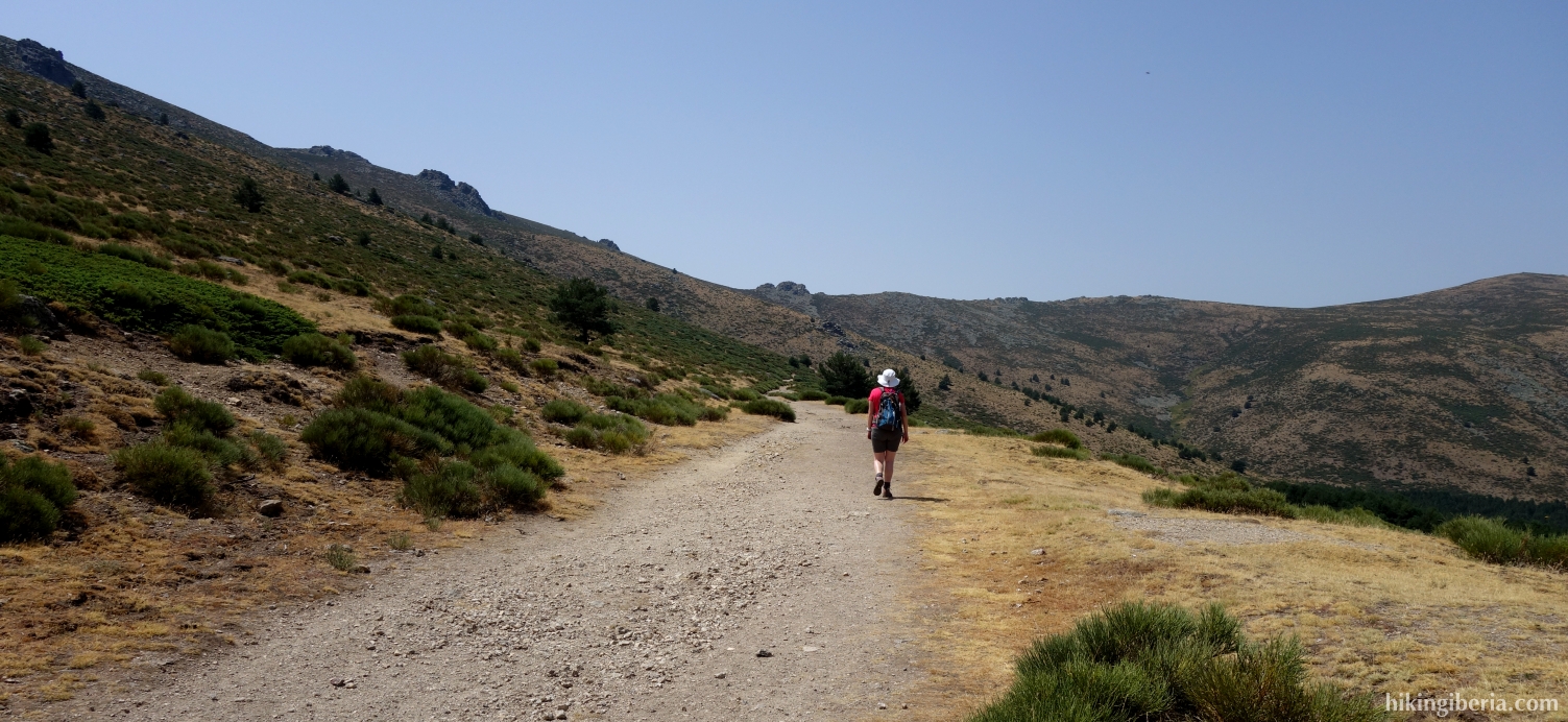
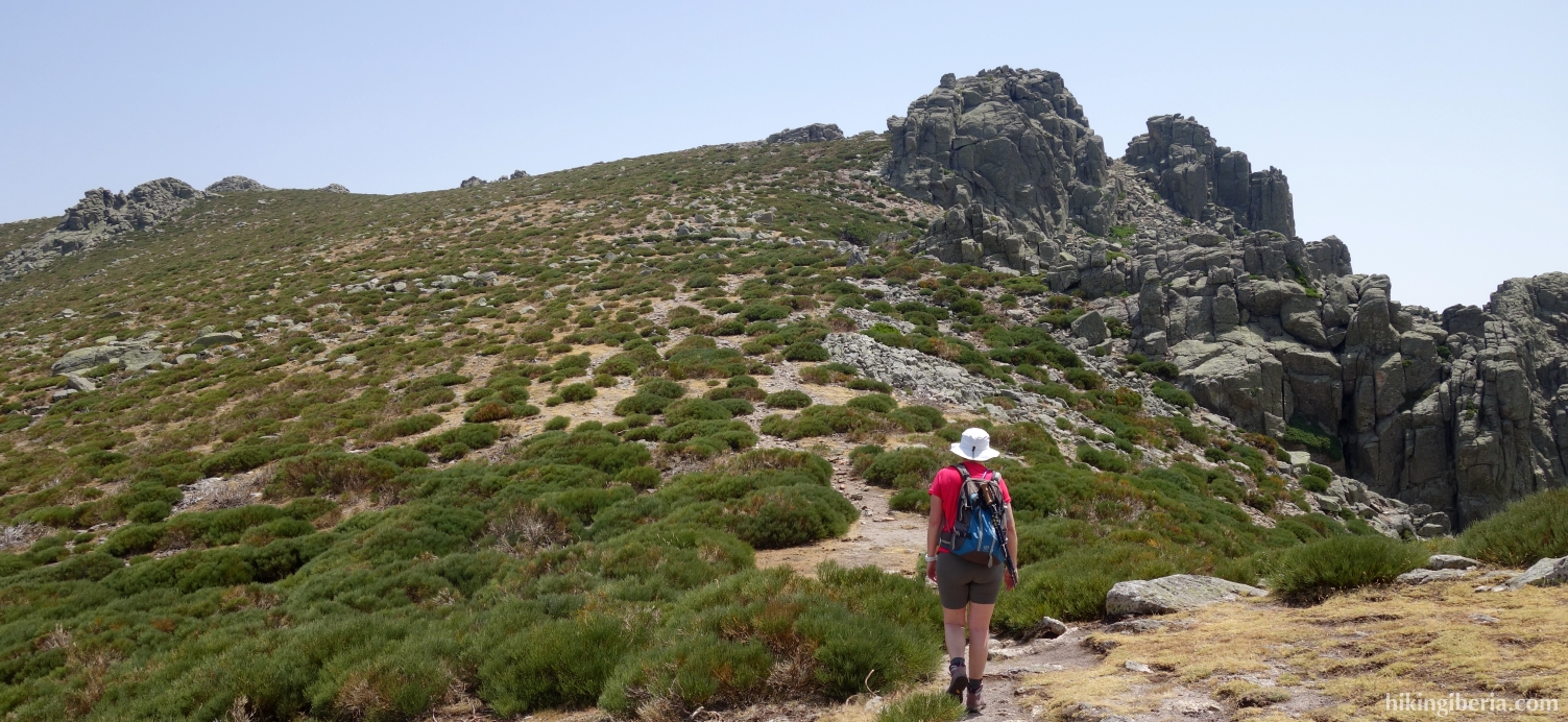
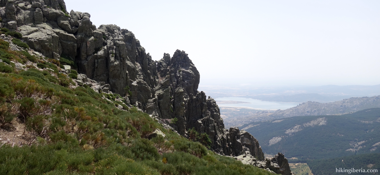
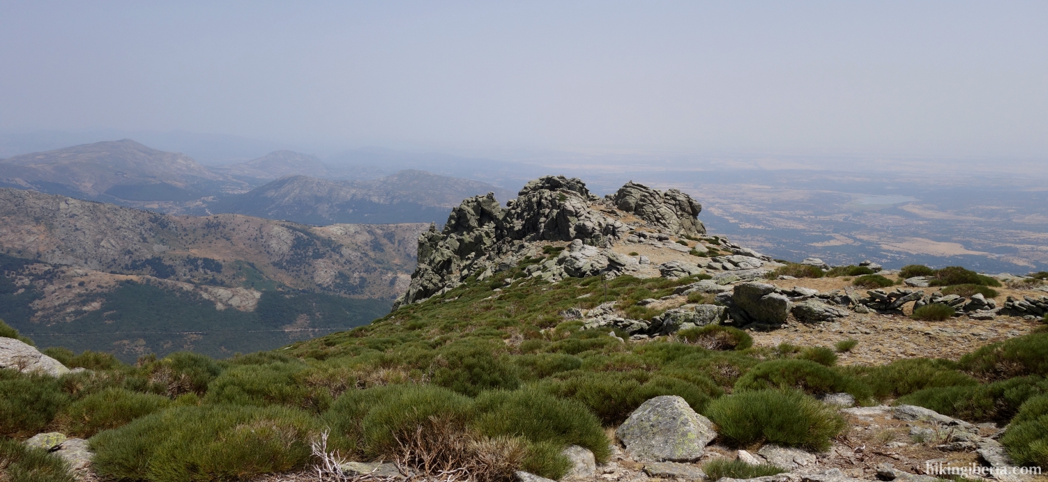
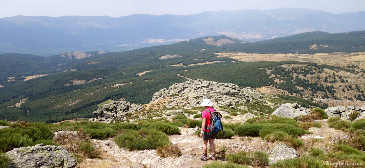
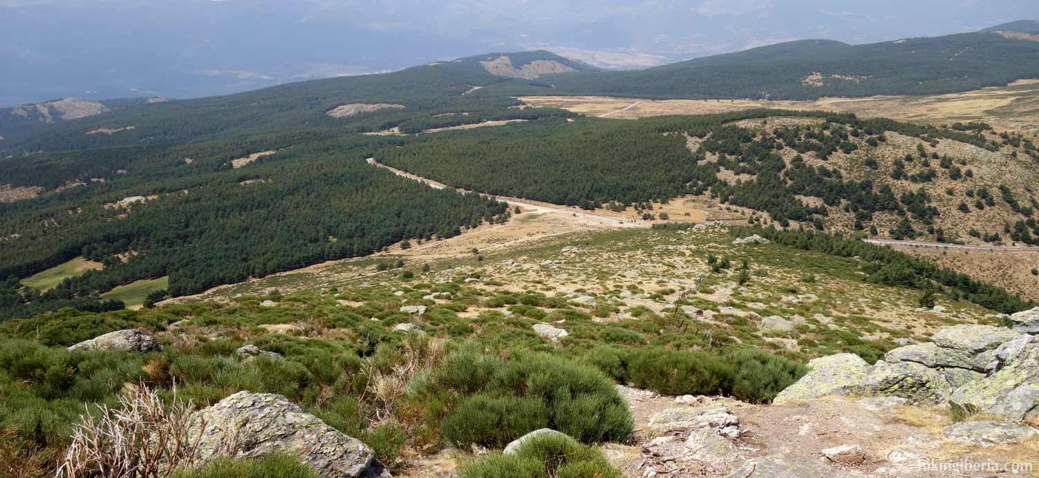
This hike starts from the Puerto de Morcuera at 1,800 meter and takes us without too much effort to above 2,100 meter. It is a typical high mountain hike: little vegetation, rocky and the last part over a ridge, thanks to which we have a wide view in all directions during the hike. From the Col of the Najarra and the peak of the Najarra we have a wide view over the Parque Regional de la Cuenca Alta de Manzanares with the Pedriza and the reservoir of Santillana.
- From the car park (1) we walk a small stretch further uphill towards the Puerto de Morcuera (2).
- On this pass we turn left onto a trail that is closed with a snow fence through which we can go via a gate.
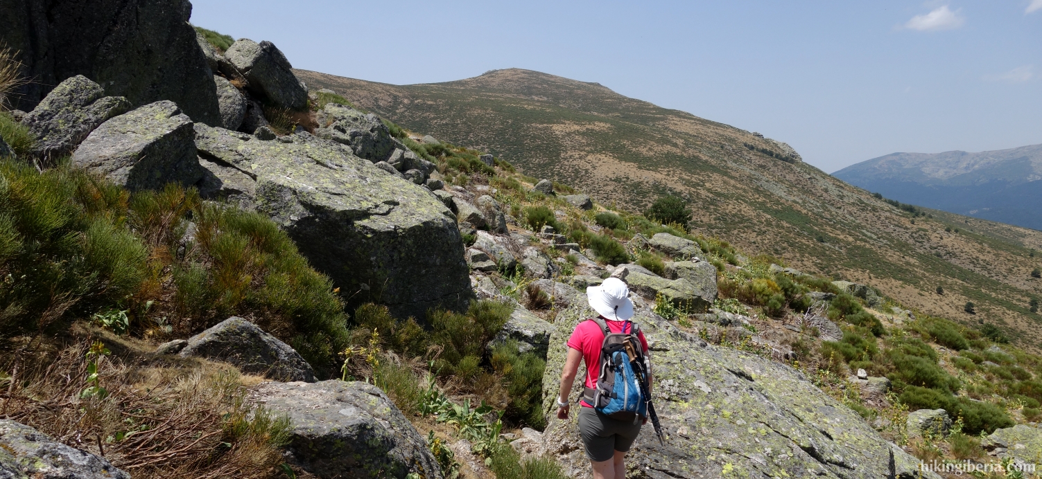
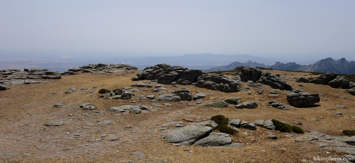
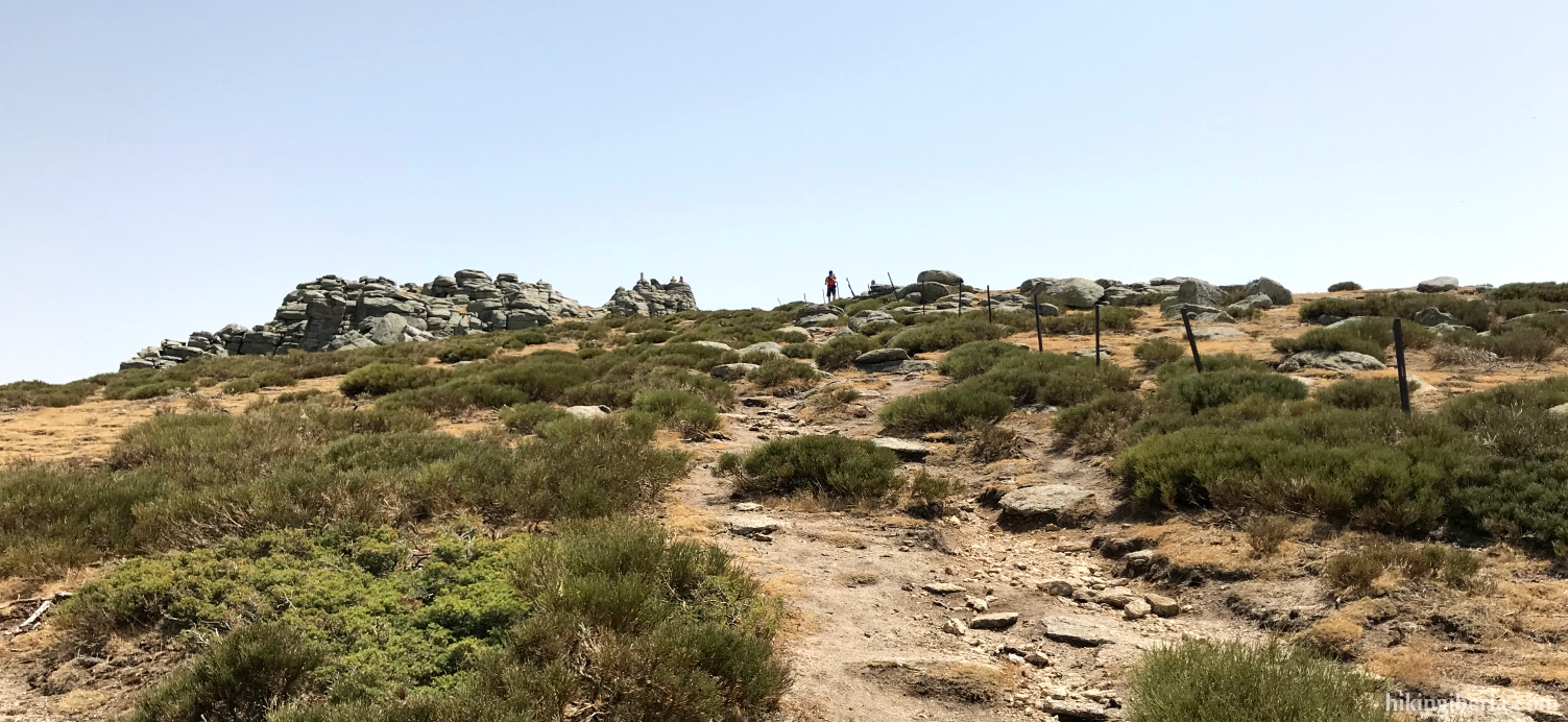
- From here we simply follow the white-yellow marking of the trail. In less than an hour we reach the Collado de Najarra (3). Keep to the left, initially a short stretch through the rocks via milestones until you find a trail marked with milestones.
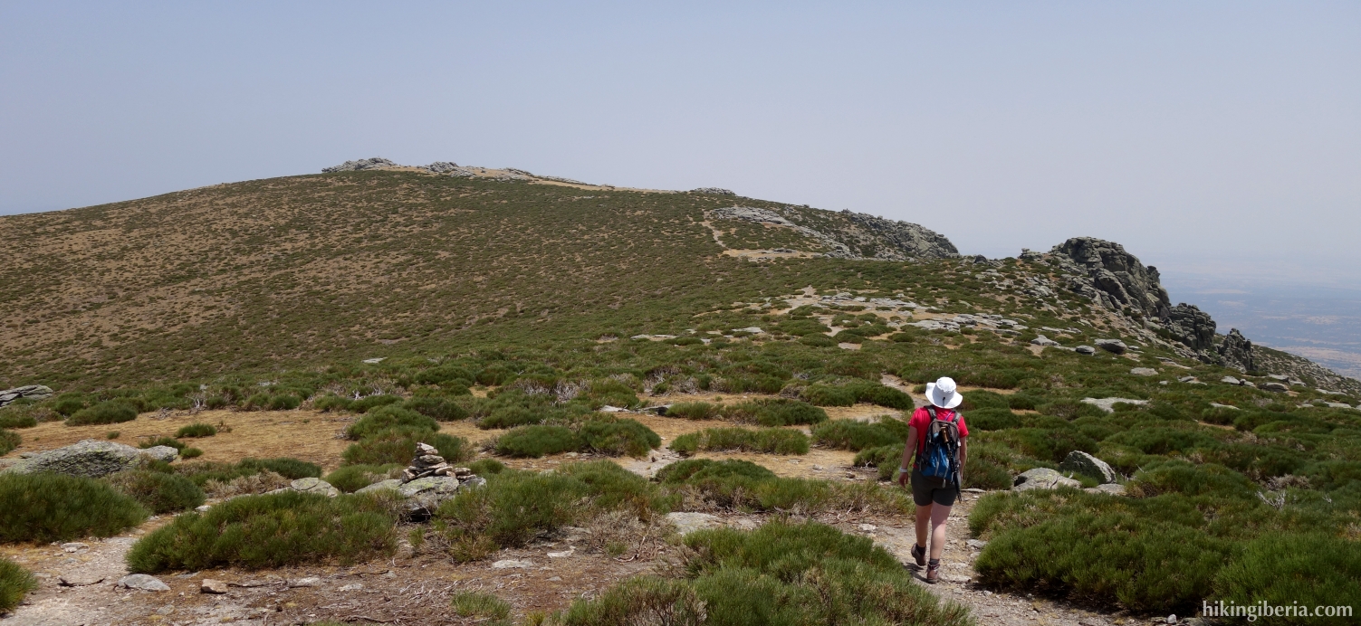
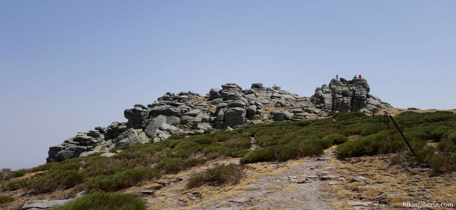
- After about 20 minutes (4) we see a trail with bollards right ahead of us and behind that we clearly see the top of the Najarra, which we reach 15 minutes later (5).
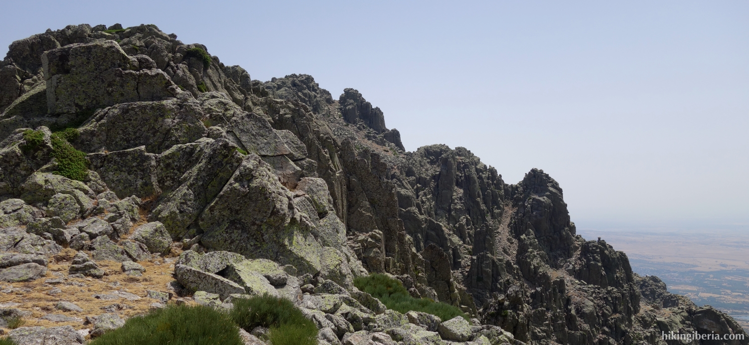
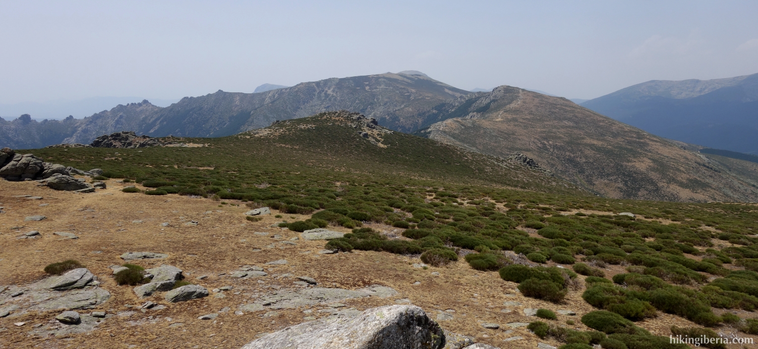
- From the top we walk further north. Further on, the trail runs parallel to the poles of what was once a fence.
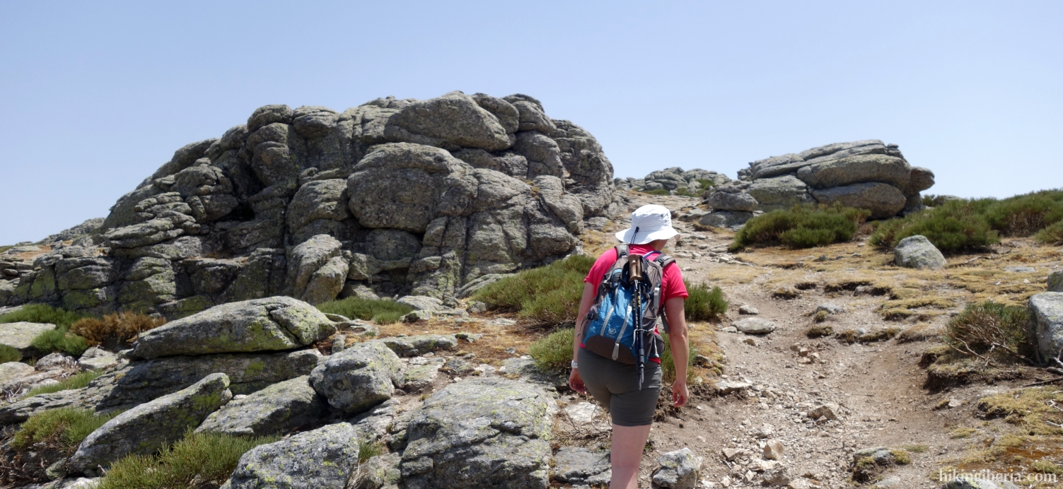
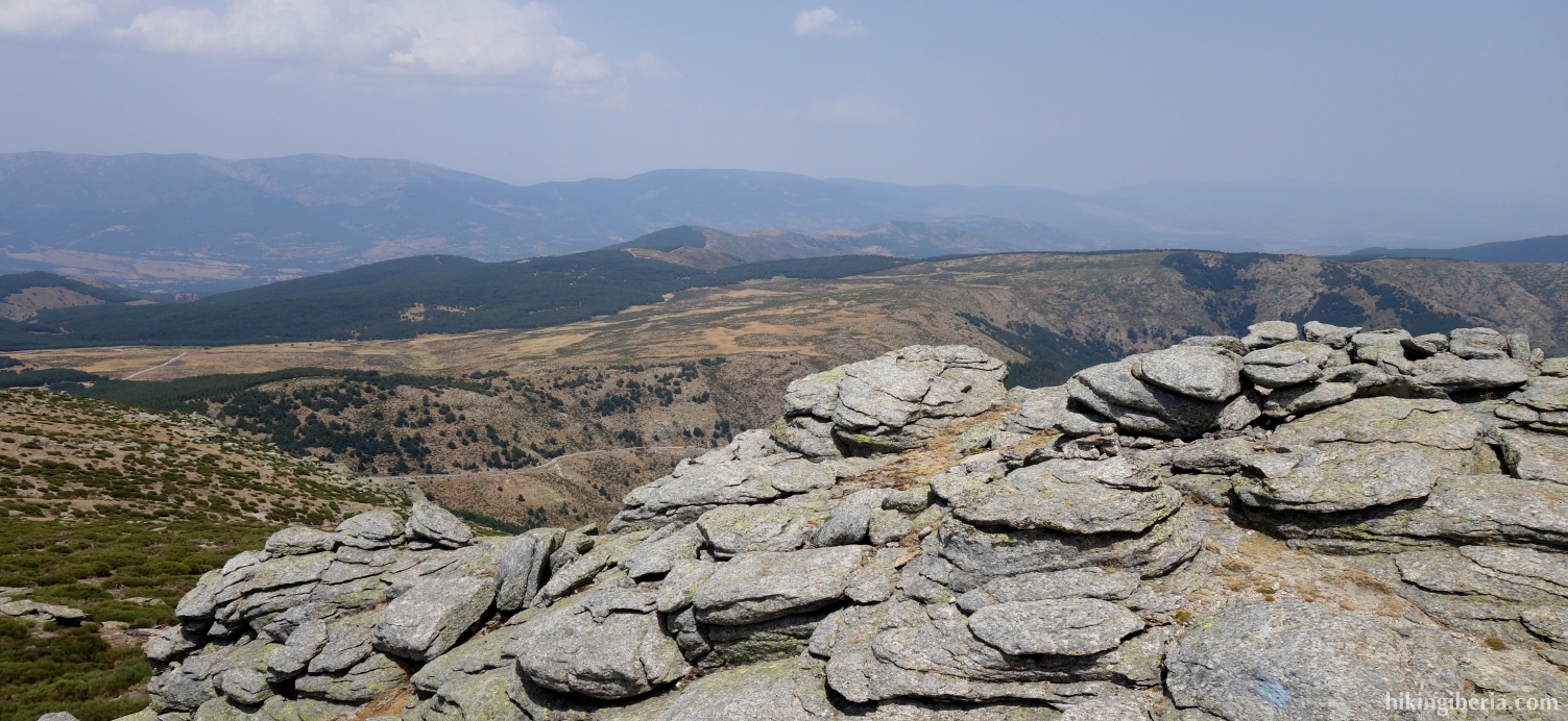
- We pass through a rocky strecth where we simply follow the milestones. Once past these rocks, the landscape opens up and we have a view of the Puerto de la Morcuera, to where we walk through the trail that runs parallel to the fence, and once there (2) we turn right to the parking lot (1).