NL
NL  IT
IT  DE
DE  ES
ES  EN
EN 
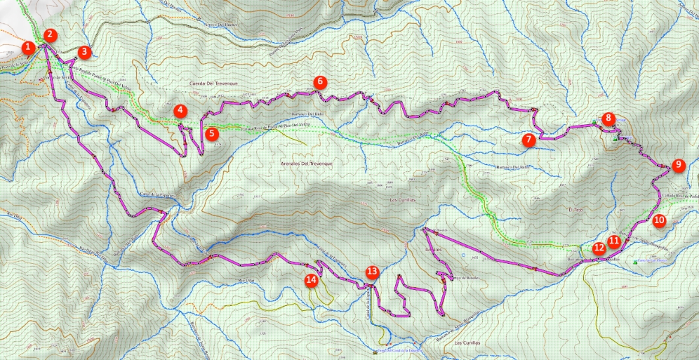
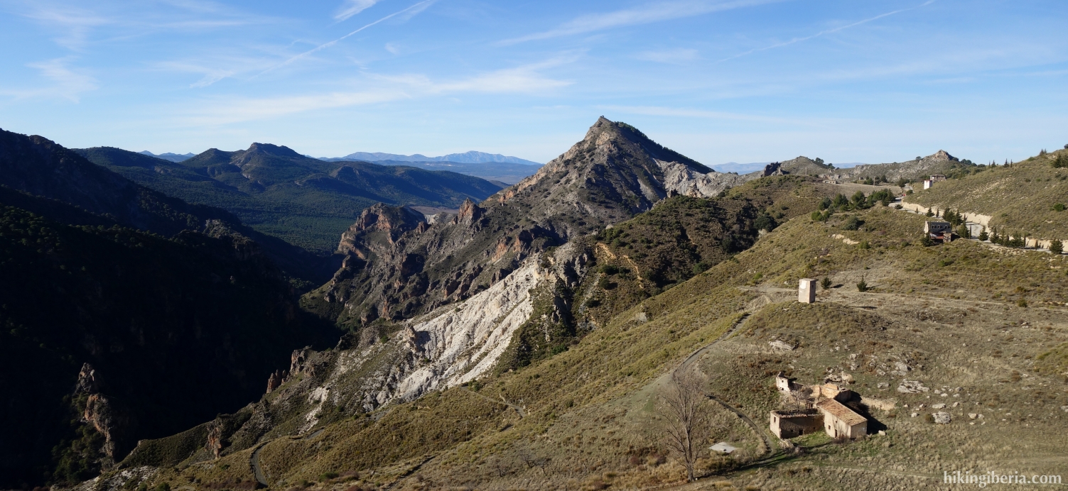
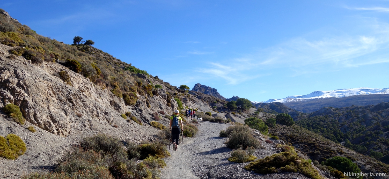
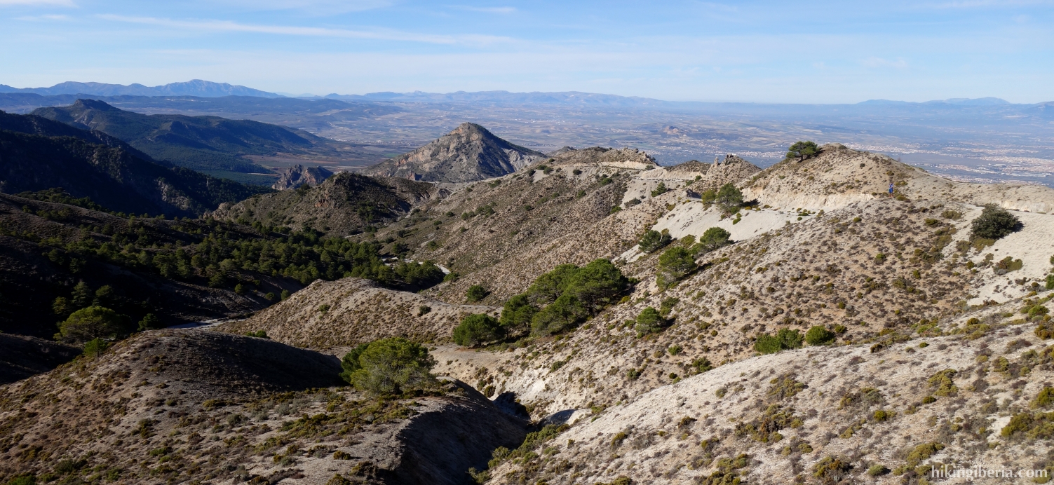
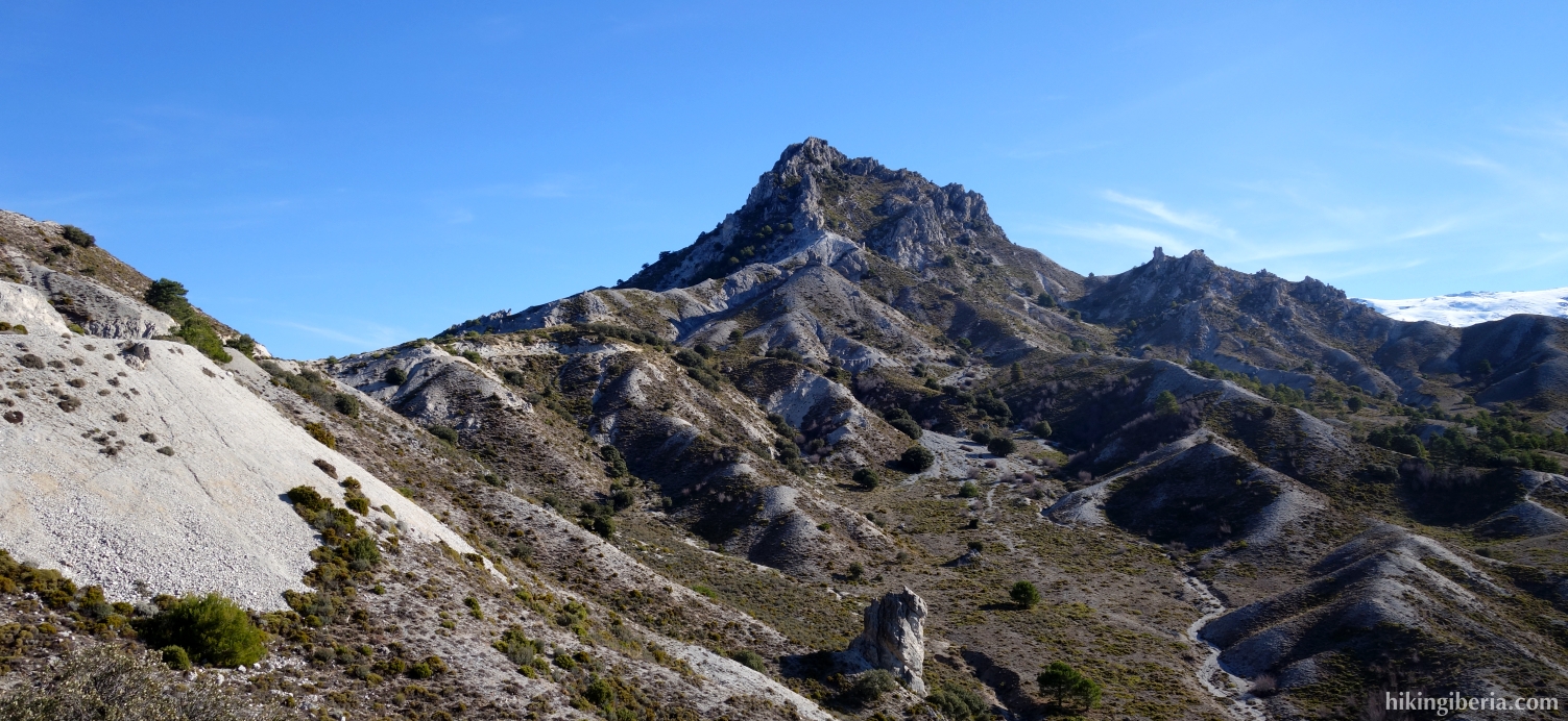
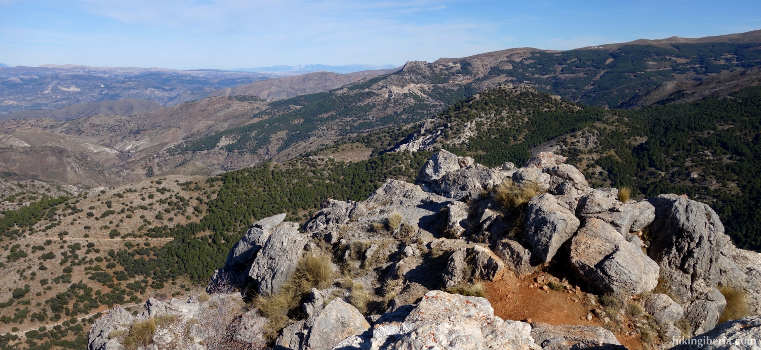
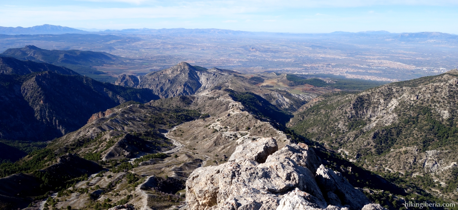
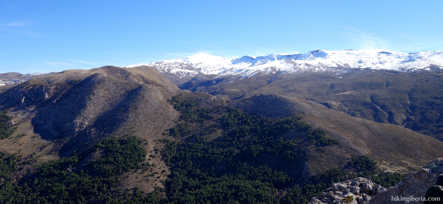
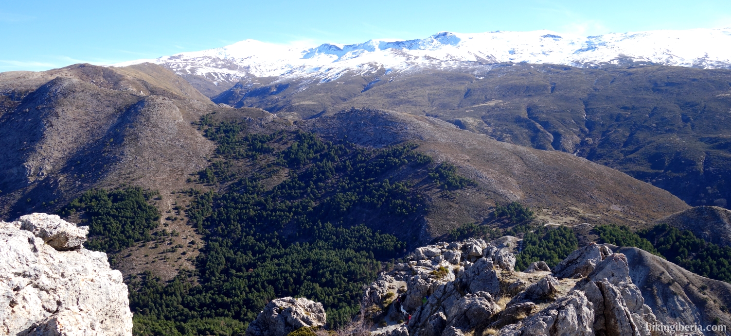
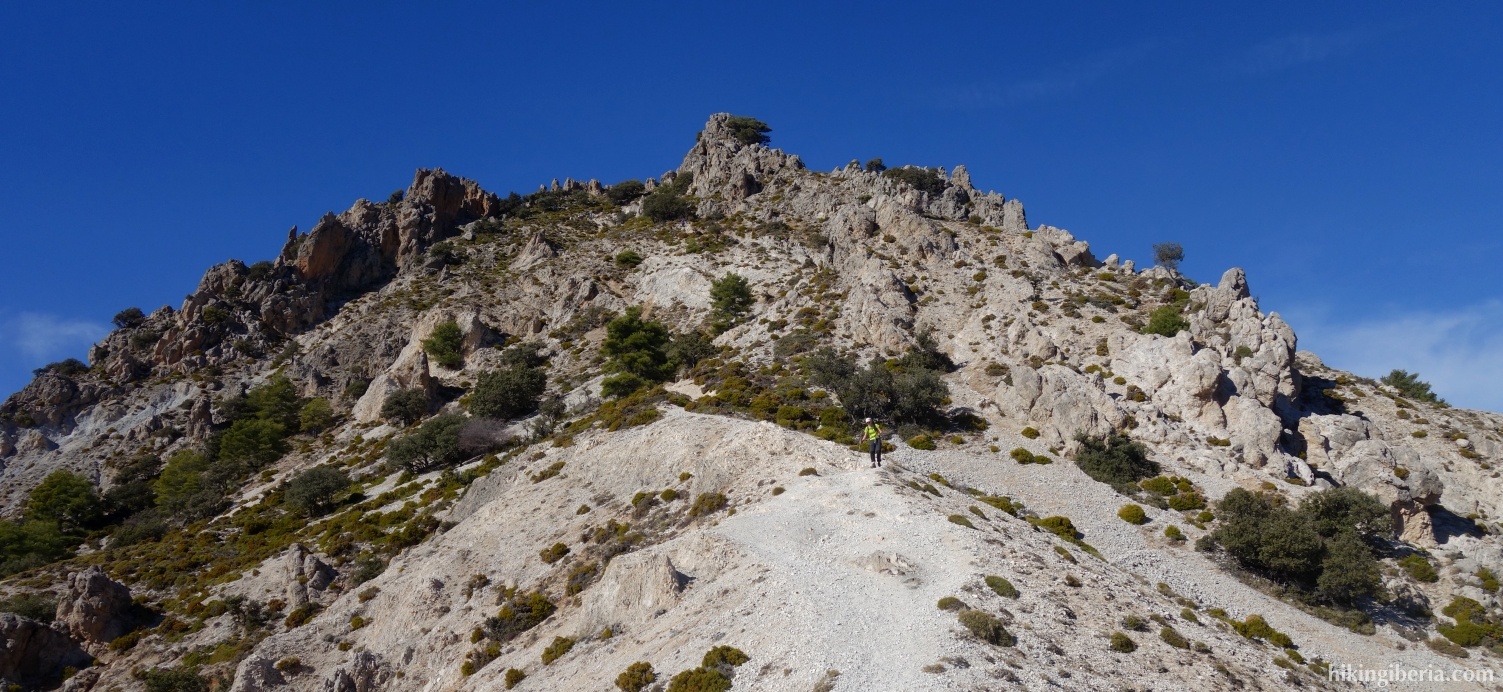
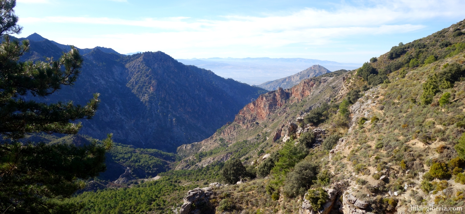
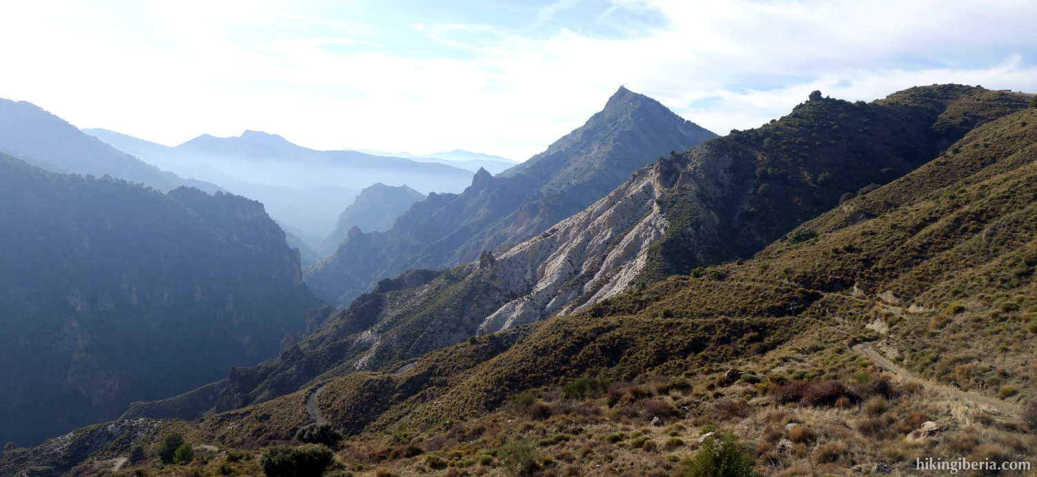
The Trevenque is a peak of 2,079 metres in the Middle Mountains of the Sierra Nevada in Granada and is also known as the King of the Middle Mountains. The summit lives up to its name because of its privileged position which offers a magnificent view of the snow-capped peaks of the Sierra Nevada above 3,000 metres and also because of its alpine character on the final 250-metre climb, which leads through a somewhat steep and rugged terrain with loose surface.
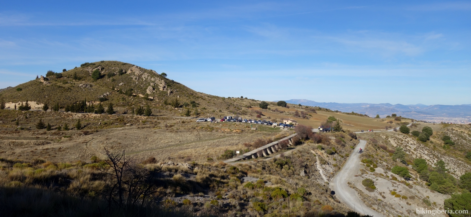
- On the Collado Sevilla (1), walk east for a few tens of metres to the information board of the path "Cerro Huenes y Canal de la Espartera - Arenales del Trevenque" (2), where the white-yellow marked PR-A 21 begins. Do not take the dirt road that lies slightly lower.
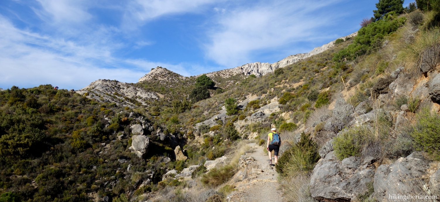
- After a few minutes (3) the PR-A 21 continues straight ahead, but we turn right with the bend uphill, past the pole with the white-yellow cross. Ignore some side trails and after about 25 minutes we reach a fork (4) again at the white-yellow marking which we follow for a short while, to the right. A little further on we ignore the white-yellow marking on the left and keep walking on the wider path. A little less than ten minutes later we cross the white-yellow path again (5) and we continue straight ahead.
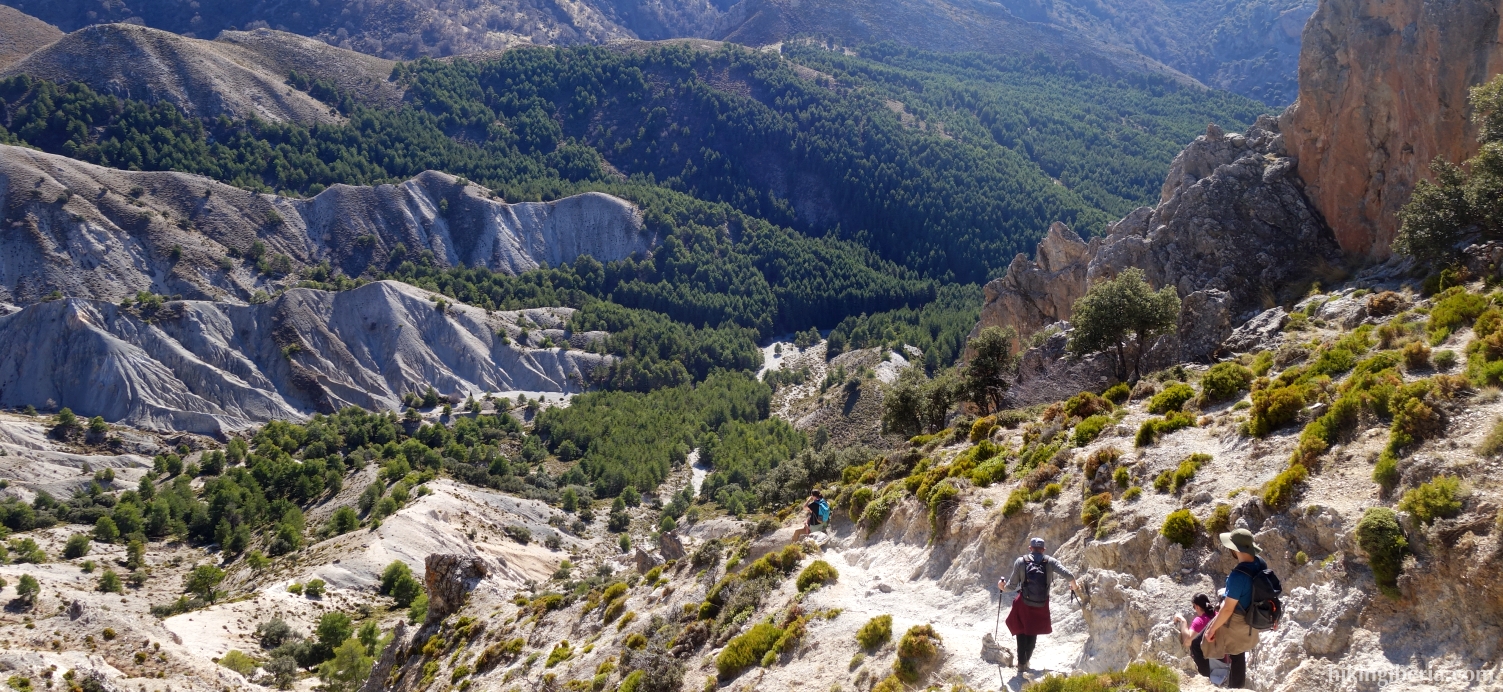
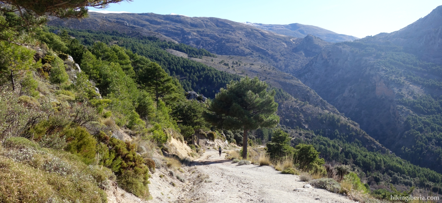
- Fifteen minutes later we ignore the path on the left (6) and continue the route on the wider path. Half an hour later we arrive at the foot of the Trevenque and we leave the wider path, onto a narrower path that leads to the top of the Trevenque (7).
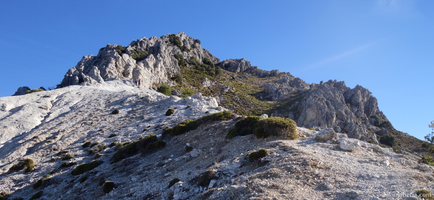
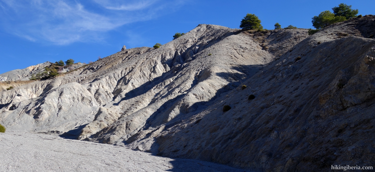
- This path is somewhat steep and leads over a terrain of loose surface, but can be done with caution. In about 25 minutes we reach the peak of the Trevenque (8).
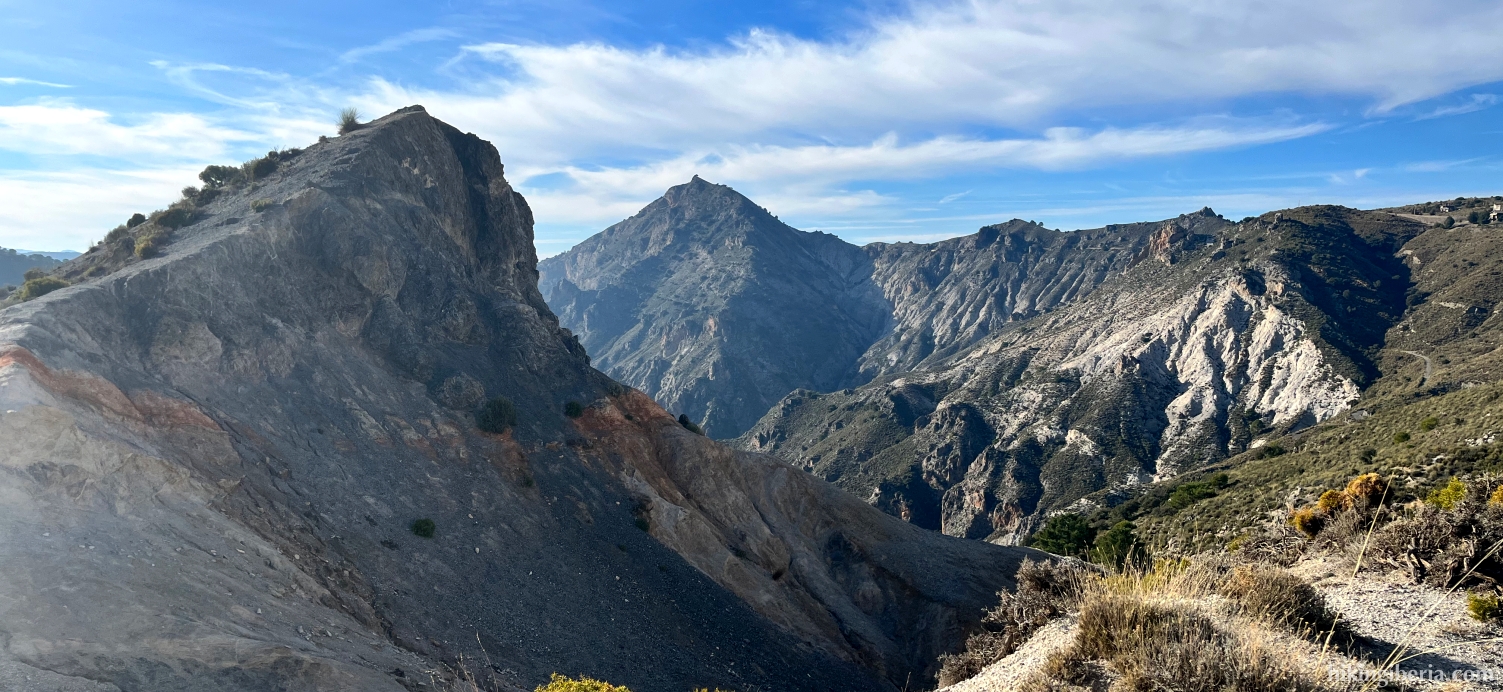
- We descend from the top, the first metres via the same path, but soon keep the south-east direction. After about 20 minutes of descending, with the sandy mountains surrounding the Barranco de Aguas Blanquillas straight ahead, we turn southwest (9), towards a trail that crosses the ridge to our right. Once at this path, continue straight ahead until you reach a narrow path. From here simply follow the narrow path. The orientation from the top of the Trevenque to here is somewhat tricky, and it's best to use our GPS track.
- About ten minutes later we reach a wide strip of gravel (10) and we turn right. A few minutes later we reach a stream in the Barrando de Aguas Blandillas (11) and continue on the path on the other side, turning right. Immediately behind this, turn left at the Y-junction (12).
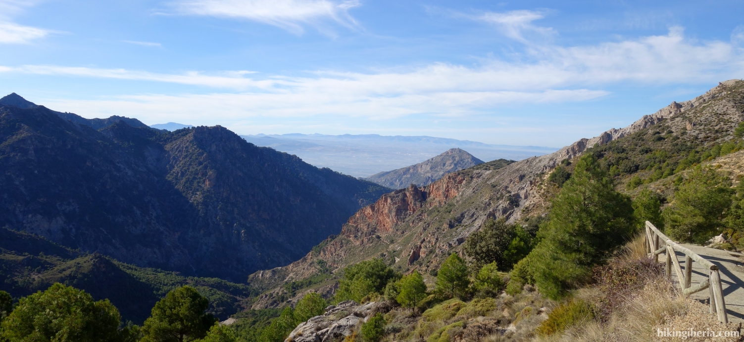
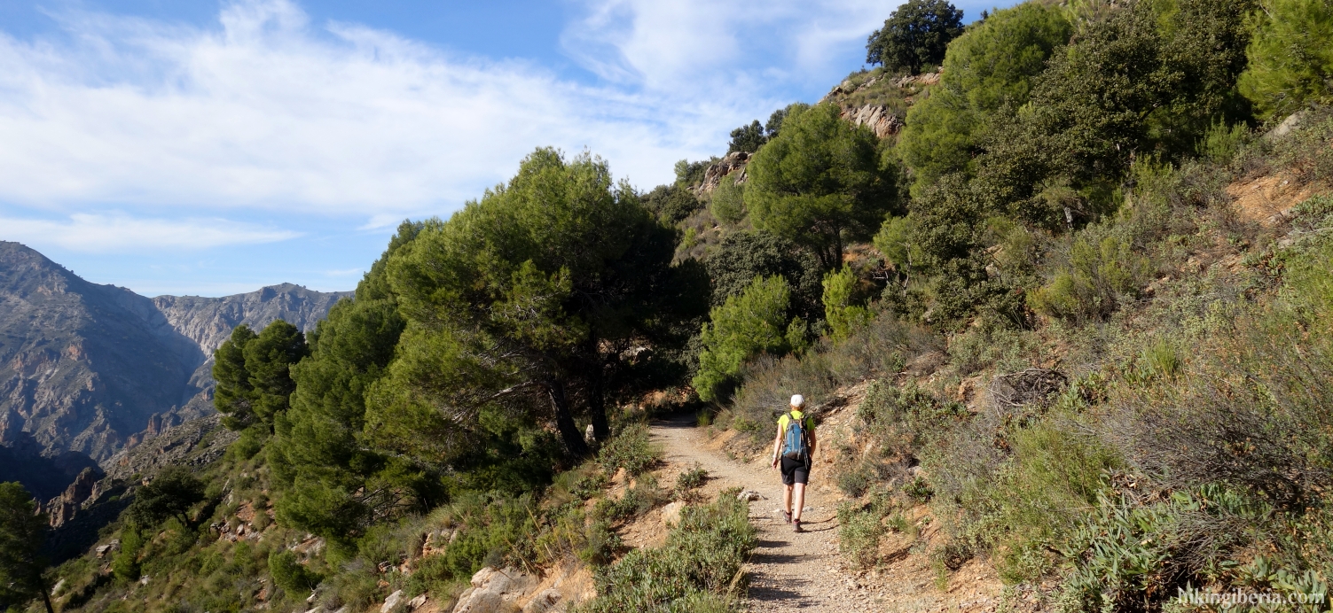
- We now follow the white-yellow markings again, on the dirt road. After 45 minutes at the fork (13), however, we ignore the white-yellow marking and continue straight ahead. More than five minutes later we arrive at the white-yellow marking again and we turn right at the fork (14), following the signposts towards the Collado Sevilla.
- From here we follow the white-yellow marked trail for about three kilometres and in about 45 minutes we reach the Collado Sevilla (1).