NL
NL  IT
IT  DE
DE  ES
ES  EN
EN 
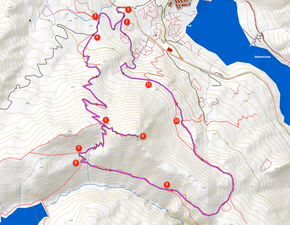
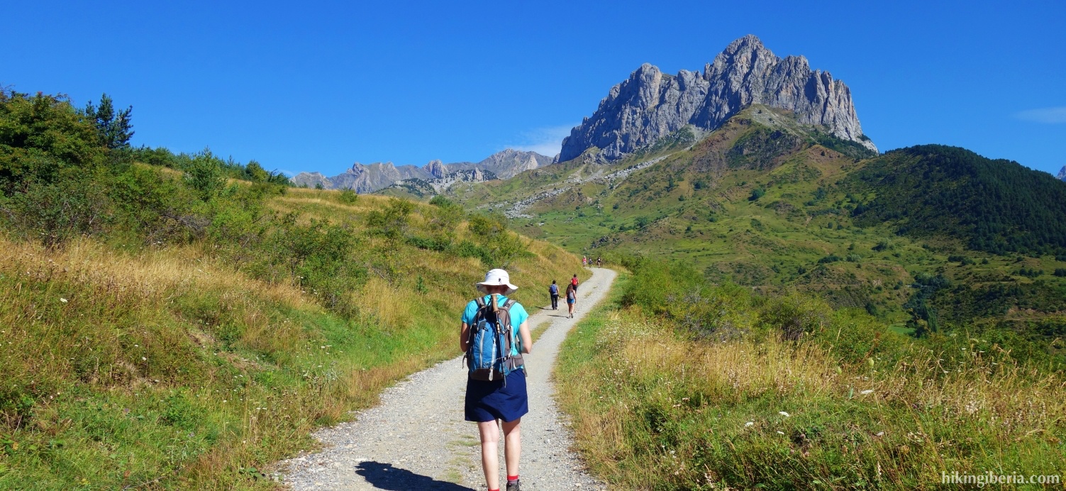
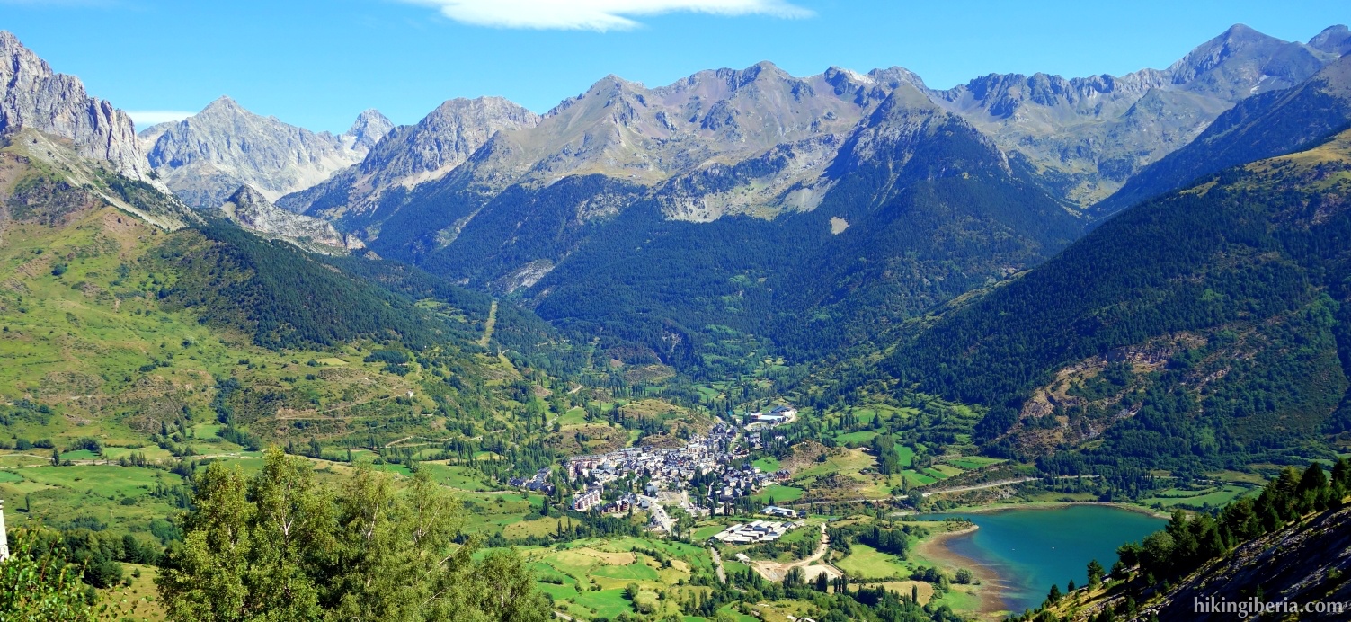
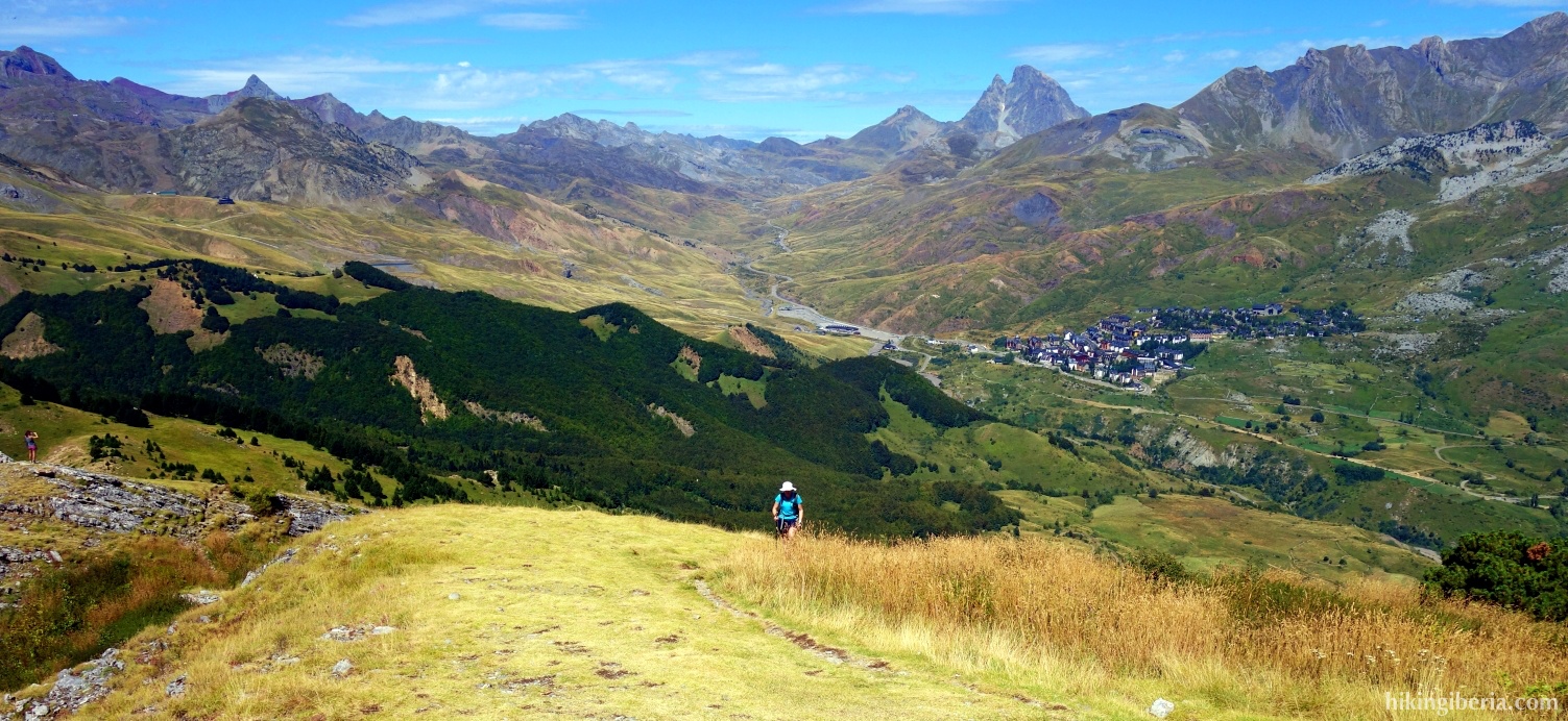
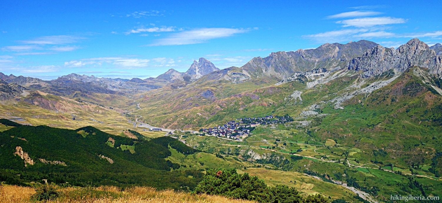
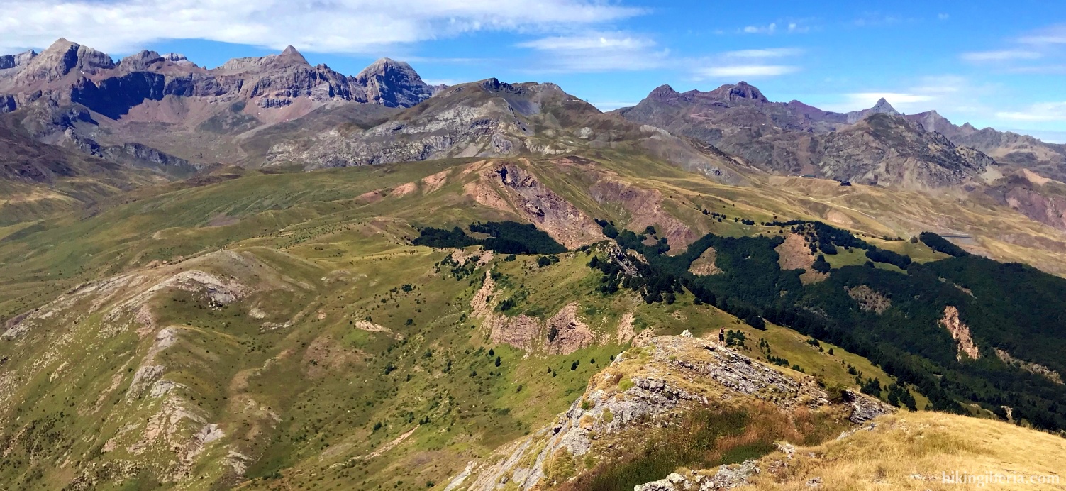
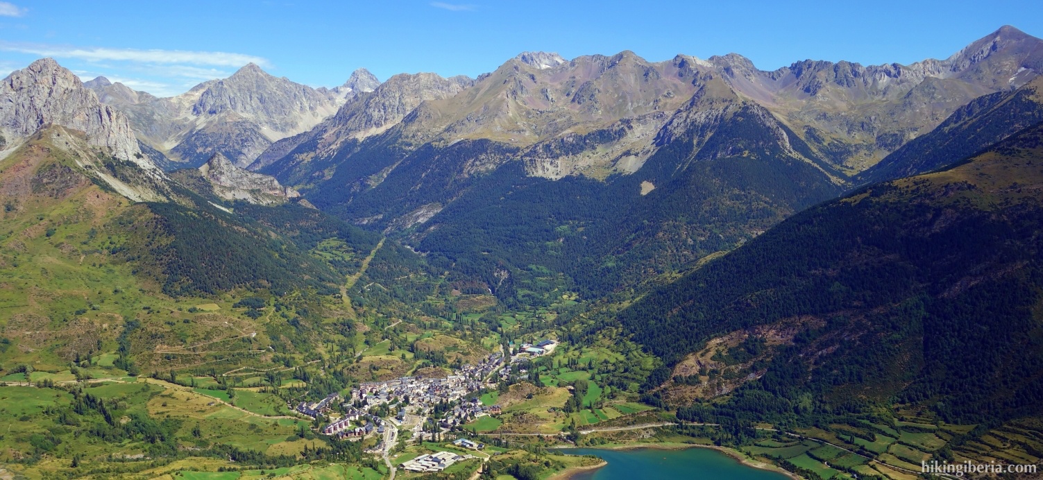
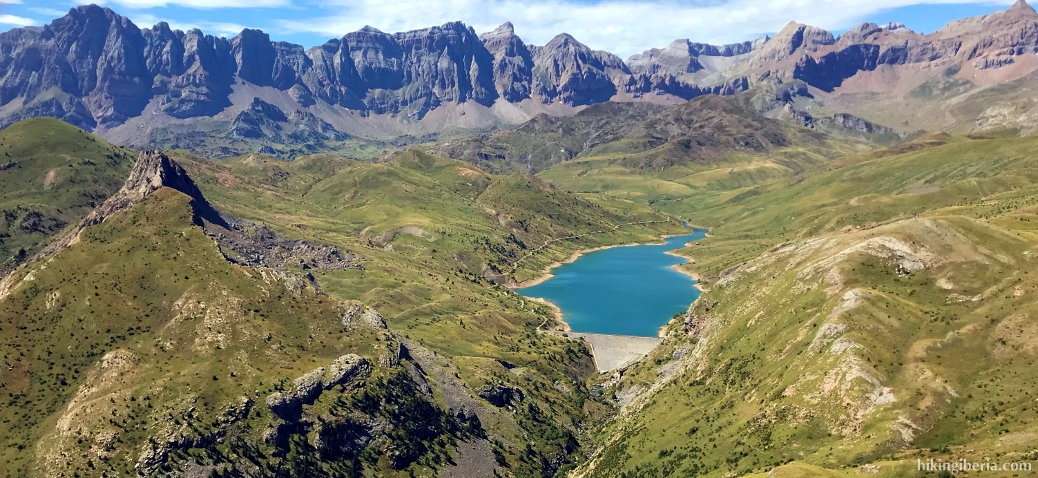
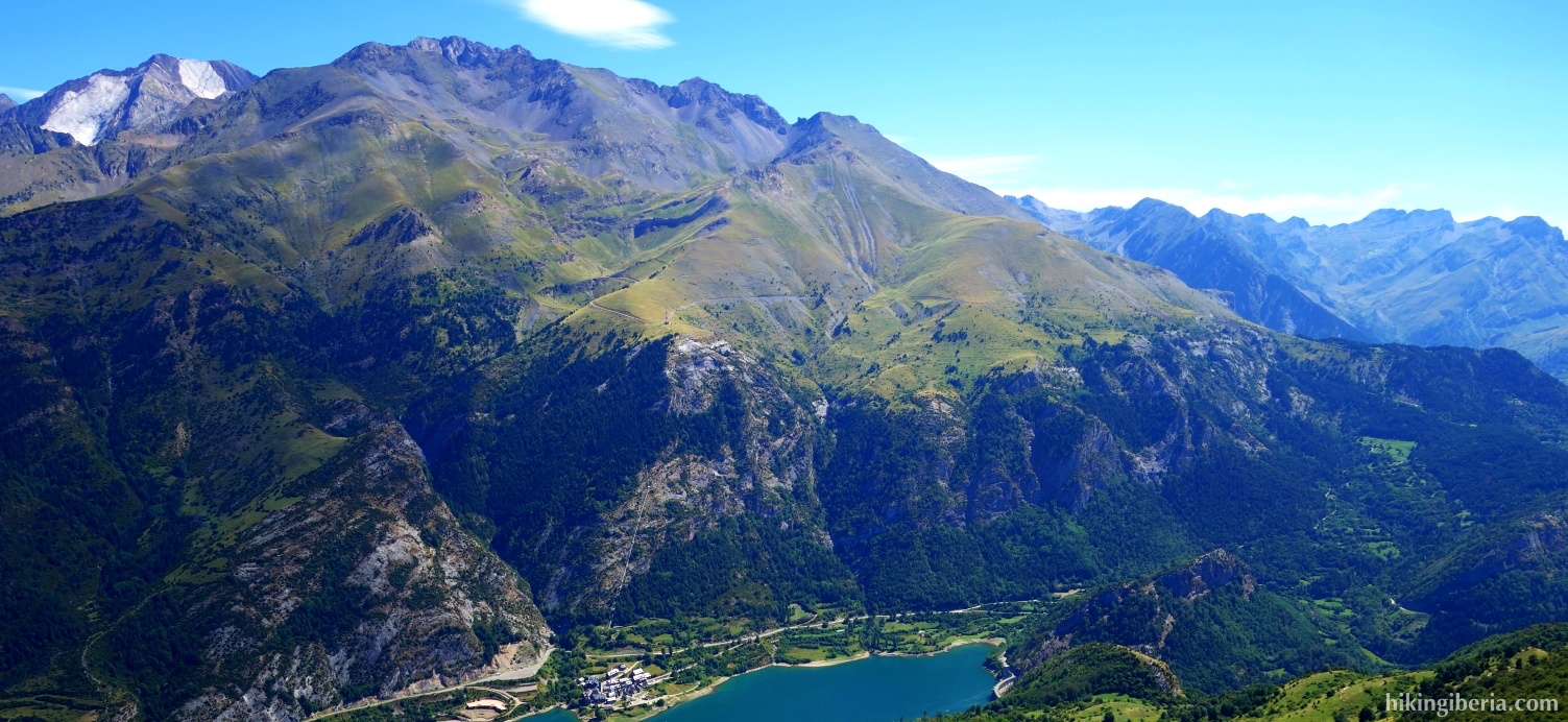
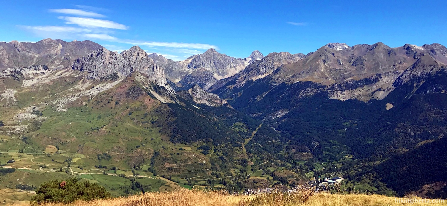
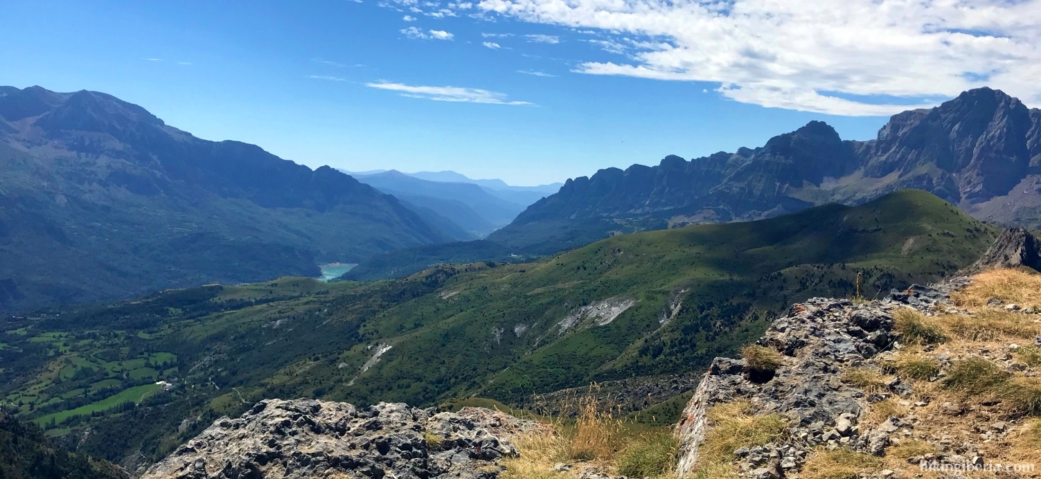
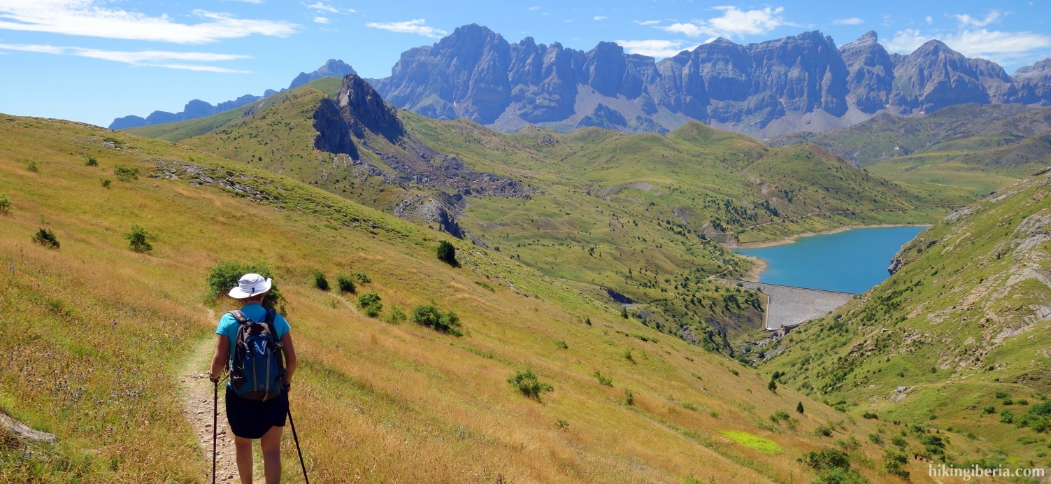
Punta Pacino is a low peak of under 2,000 meters in the middle of the Tena Valley, which is easily accessible from the A-136 towards Formigal via trails in excellent condition. Thanks to its central location, it is a wonderful viewpoint on the Valley of Tena and a balcony on the surrounding high peaks of the Pyrenees.
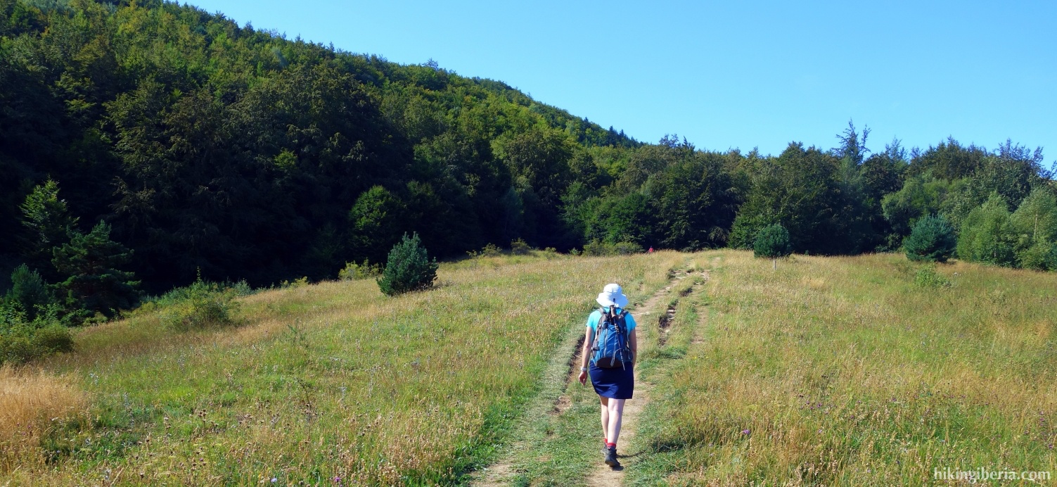
- From where we parked (1), continue further on the dirt road. After five minutes ignore the path on the left (2) and go straight ahead.
- More than ten minutes later, ignore the small road on the right (3) and go straight ahead. A few minutes later we leave the dirt road and follow the sign "Collado Pacino" on the left onto the trail (4).
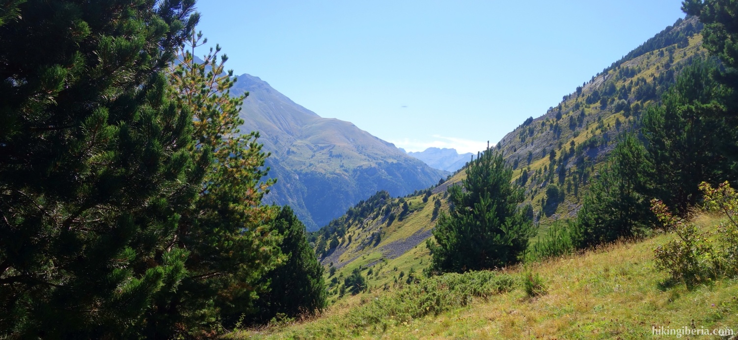
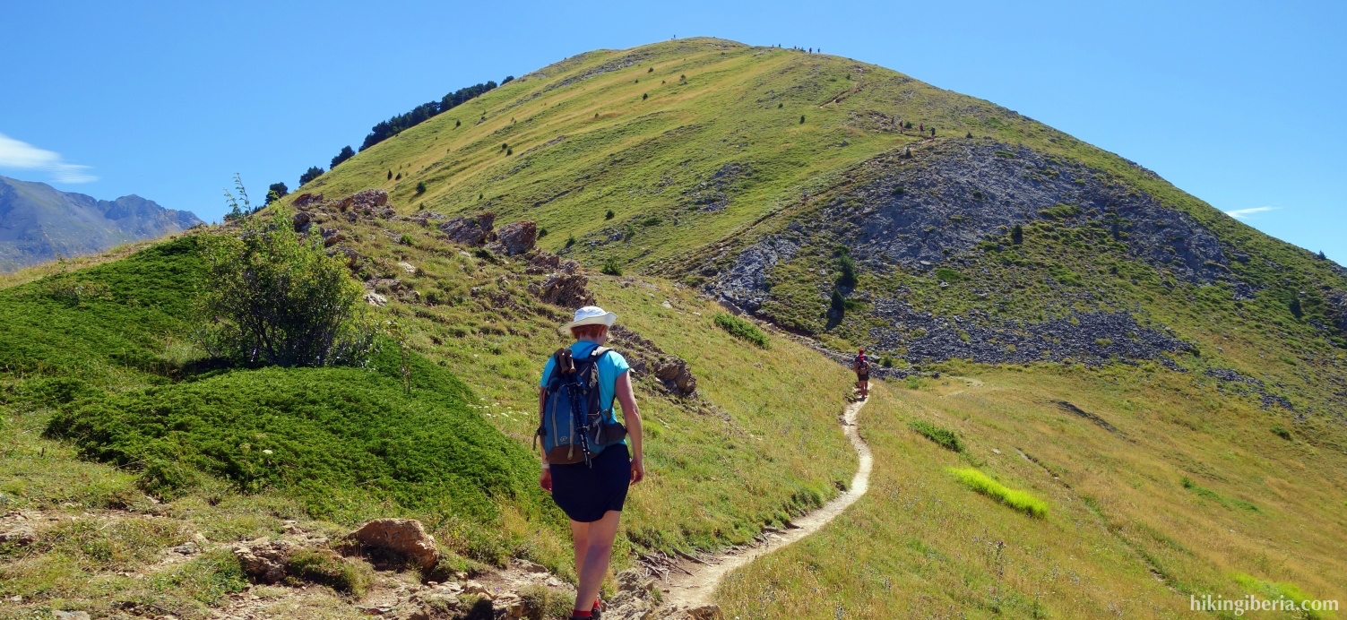
- Via this trail we reach the Collado Pacino (5) in about 45 minutes, where we keep left, on the trail towards the Punta Pacino, which we reach more than twenty minutes later (6).
- From the peak we walk back to the Collado Pacino. Just before we reach the Collado Pacino, we turn left onto a narrow trail (5).
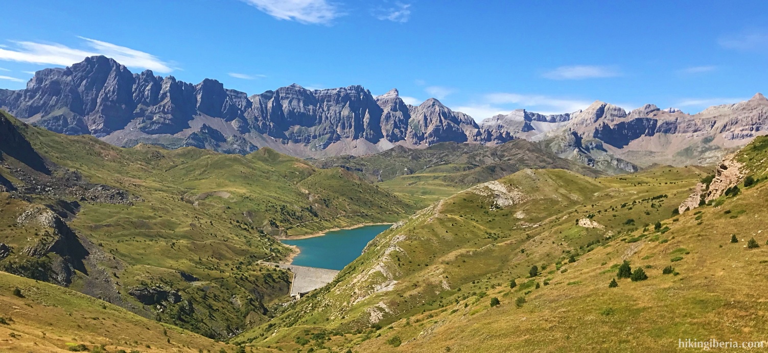
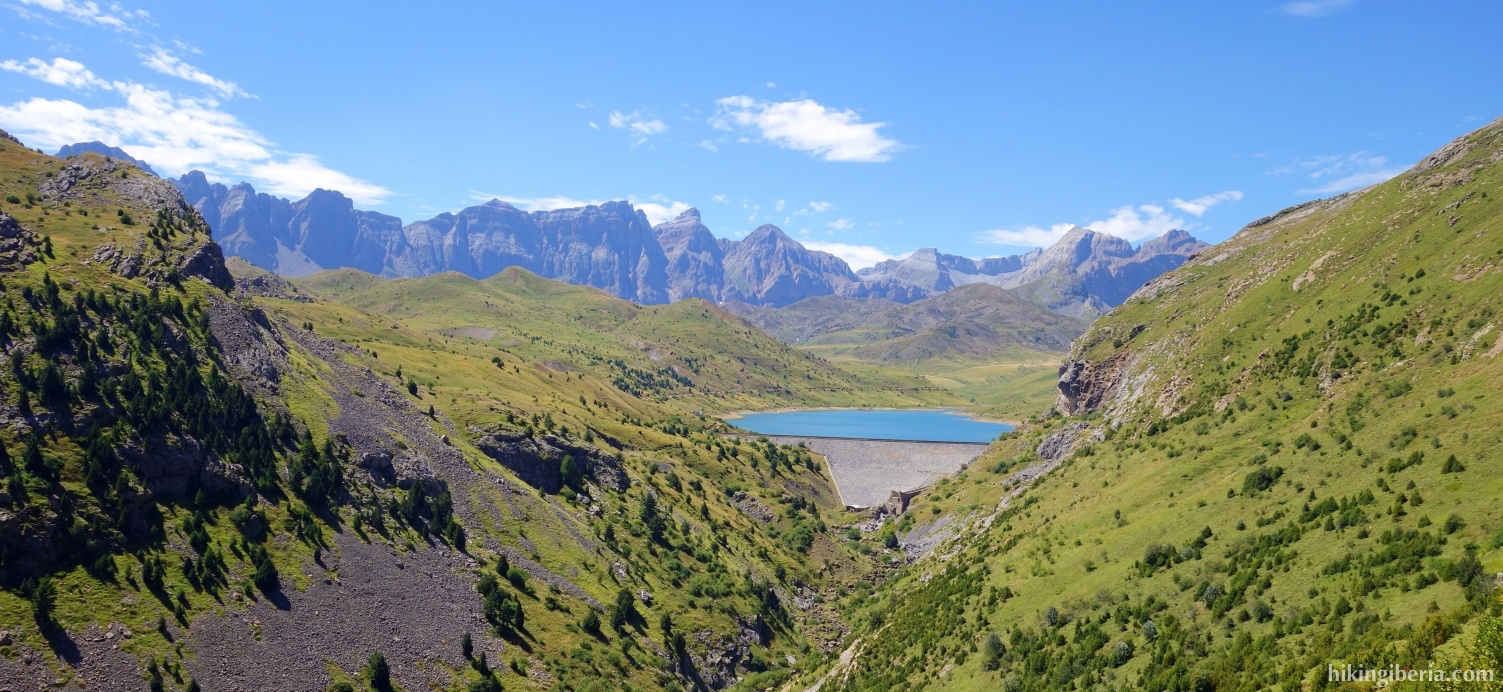
- We now walk in the direction of the Embalse de Escarra. Keep to the left twice (7) (8) and do not take the trail towards the reservoir.
- Twenty minutes later we keep left / straight on at the fork (9), on the PR towards Sallent, marked white-yellow.
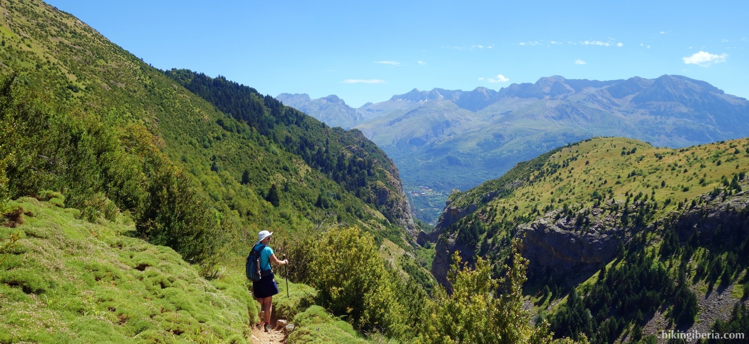
- More than half an hour later, ignore the white-yellow marking to the right and go straight ahead onto a blue-white marked trail (10).
- Fifteen minutes later, take the upper path to the left (11).
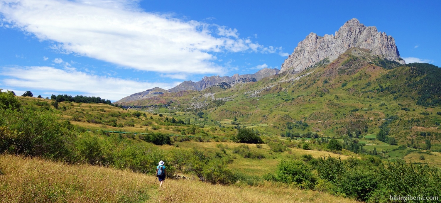
- 25 minutes later we reach the dirt road again (2) where we turn right and walk back to the car.