NL
NL  IT
IT  DE
DE  ES
ES  EN
EN 
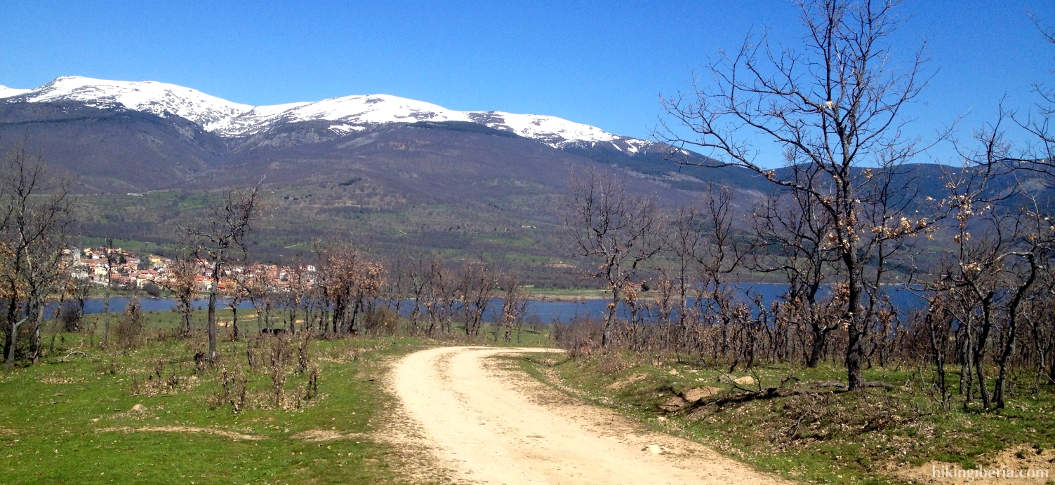
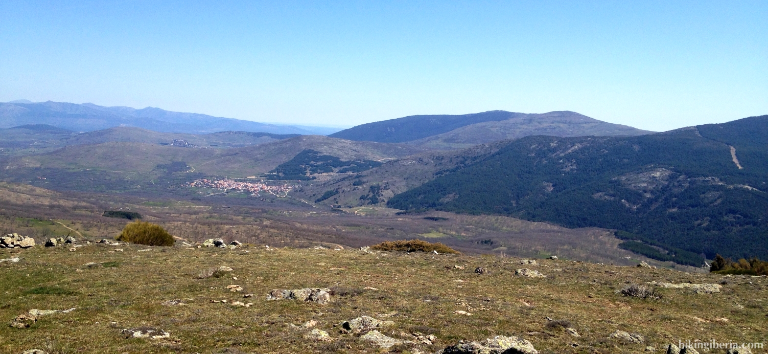
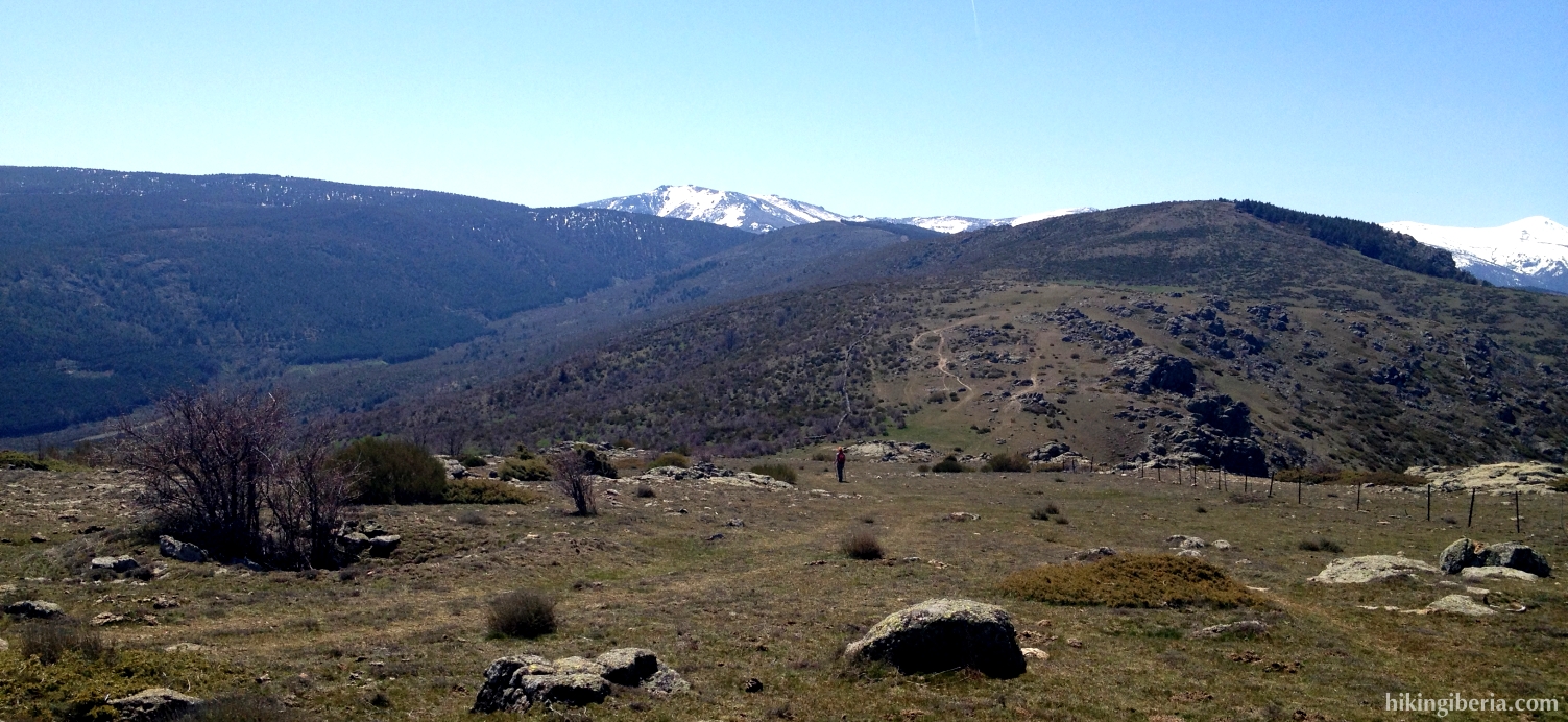
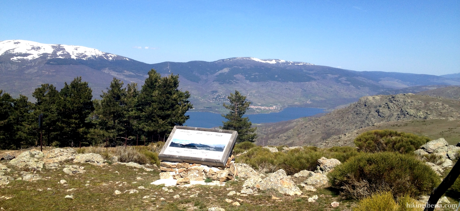
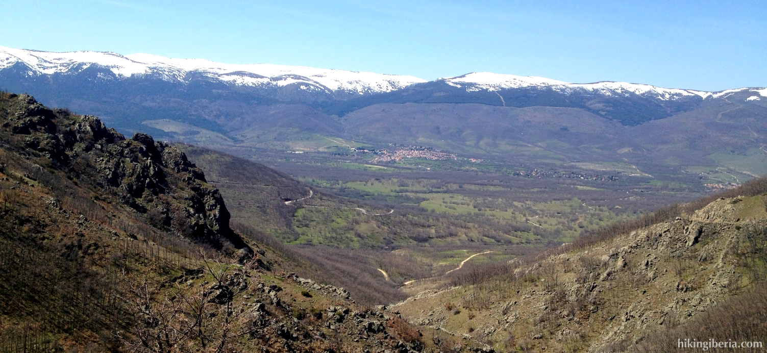
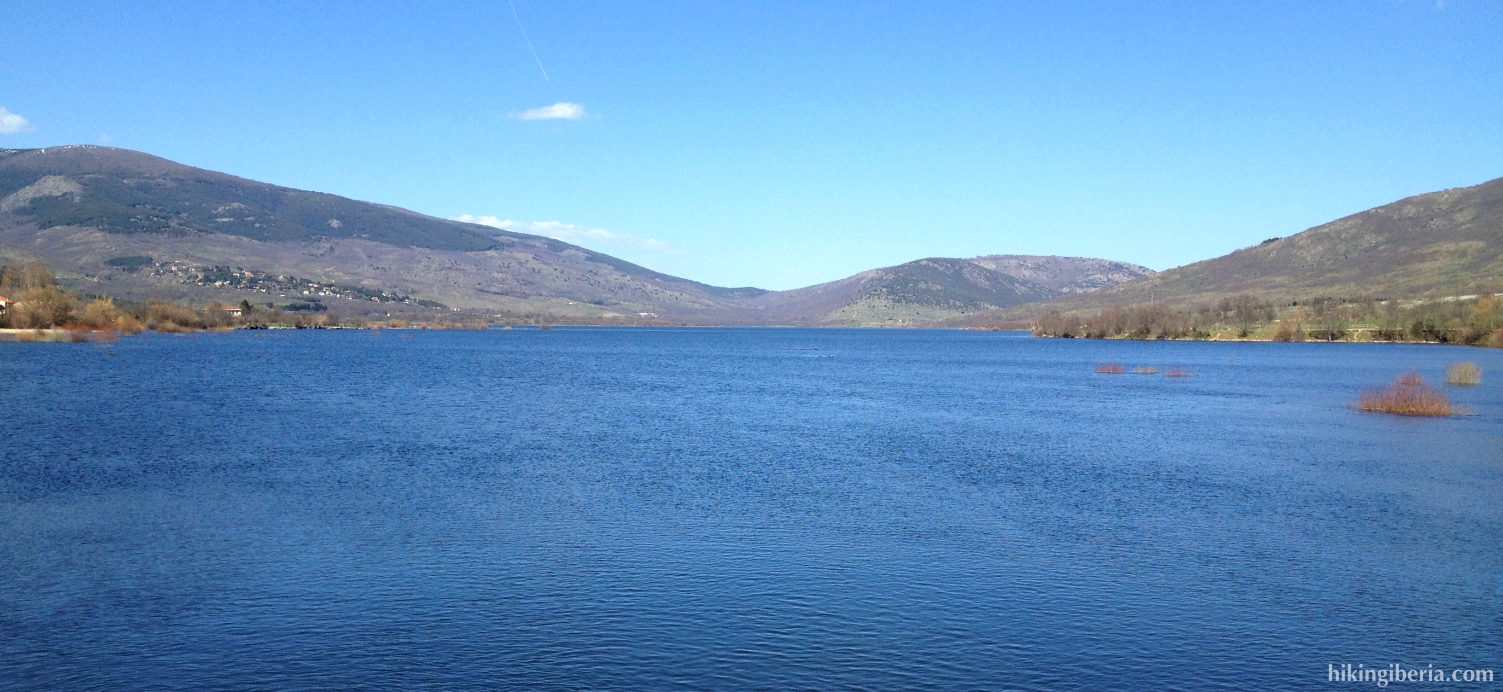
The Pico el Espartal is with its 1,733 metres the highest peak of the Altos del Hontanar, a mountain that stands out high above the valley of Lozoya. From the peak we have a spectacular view: on the valley of Lozoya and the reservoir of Pinilla (from where the hike departs), further on the background the peaks of above 2,000 metres of the Sierra de Guadarrama such as the Peñalara and towards the east the foothill of the Sierra Norte de Madrid. The way back runs via the village of Alameda del Valle to return us to the reservoir of Pinilla.
- From the car park (1) at the reservoir of Pinilla we take a path that sort of runs straight on from the direction of the bridge that we came over by car, although keeping slight to the left. Beware to not take the path that runs parallel to the reservoir.
- We quickly reach a couple of gates (2), where we go through the one most left, which brings us onto a wide trail. Further on where on the left a narrow trail forks (3) we stay on the wide trail, following the bend further uphill. Next at a big junction (4) we go straight on/to the right.
- We now ignore a trail on the right, then cross another trail where we keep walking straight on at the wide trail, following the bend to the left (5). Further on at the left we ignore a downhill road (6) and then further on at the right we again ignore a narrow uphill trail.
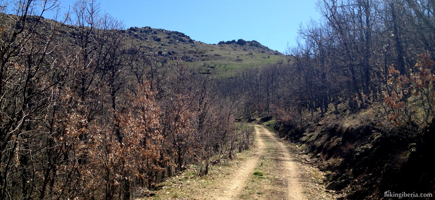
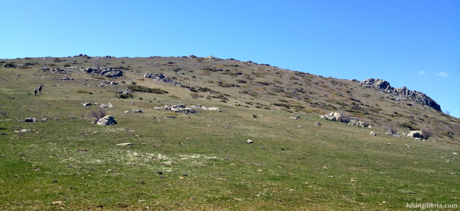
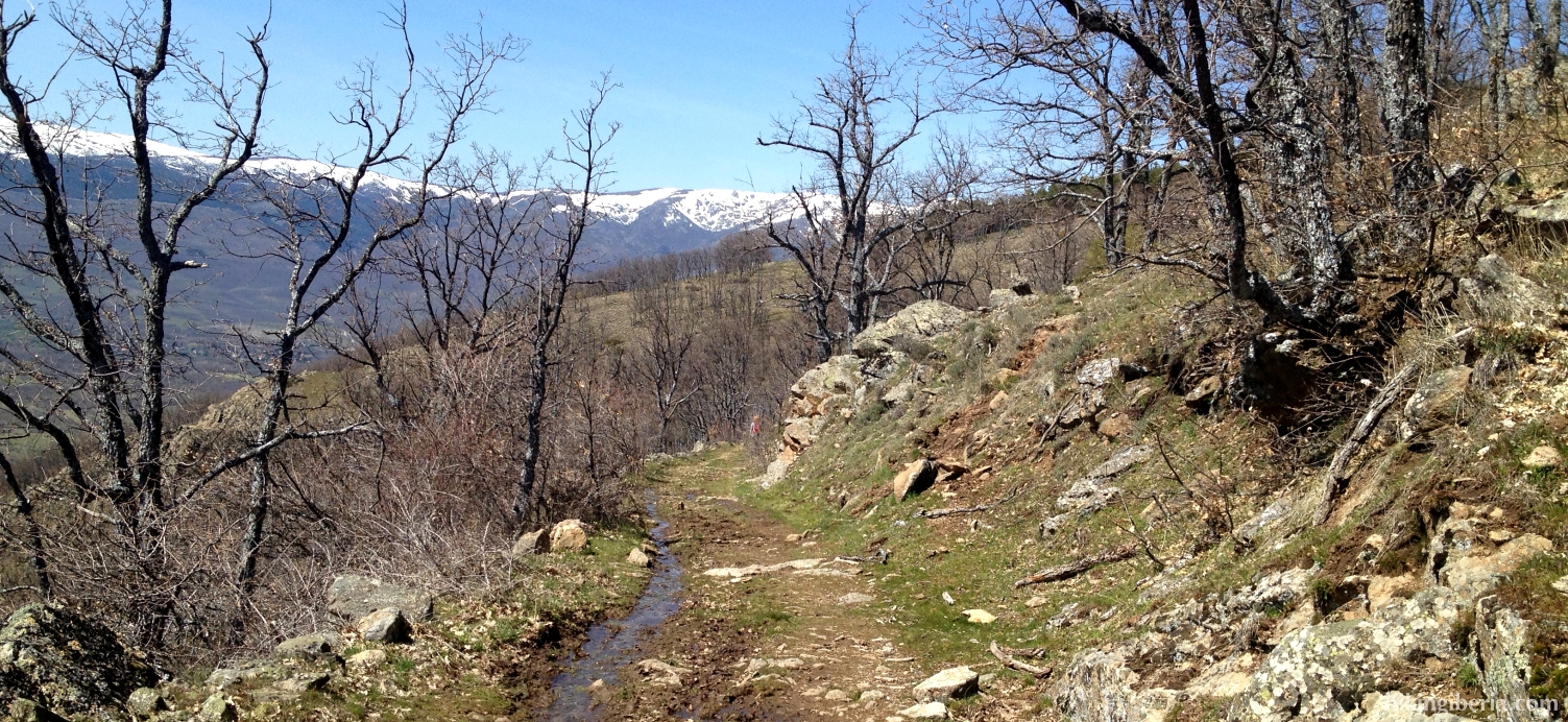
- At a given moment this wide path ends and converts into a narrower trail (7), after which it turns back to the right. We climb for a while and reach an open space/pass. At the end of if we reach a small wall (8) where we turn right, via a wide track.
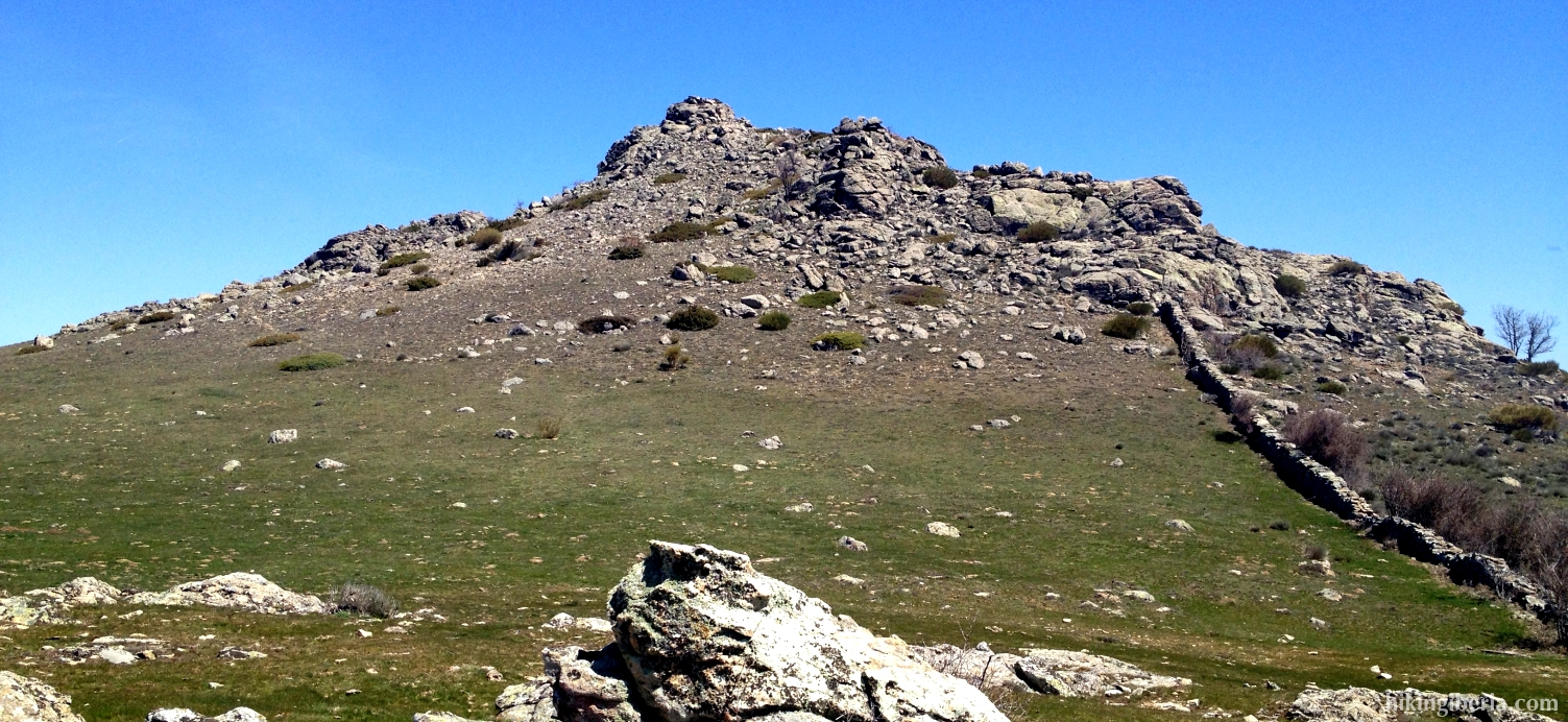
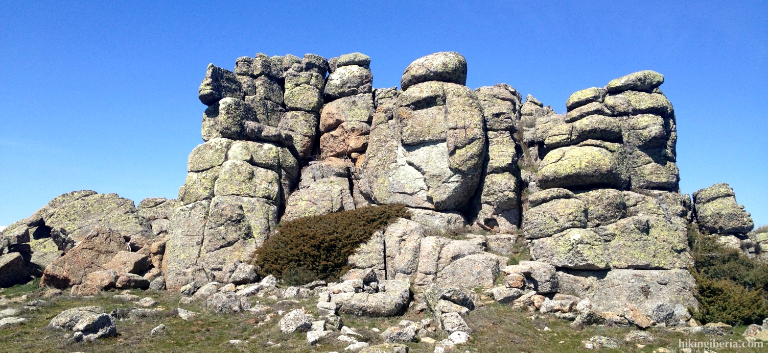
- Via this trail we reach the Cerro del Águila at 1,662 metres (9). From here we now keep left to continue the trail to the Pico el Espartal (10), which we can see lying in front of us.
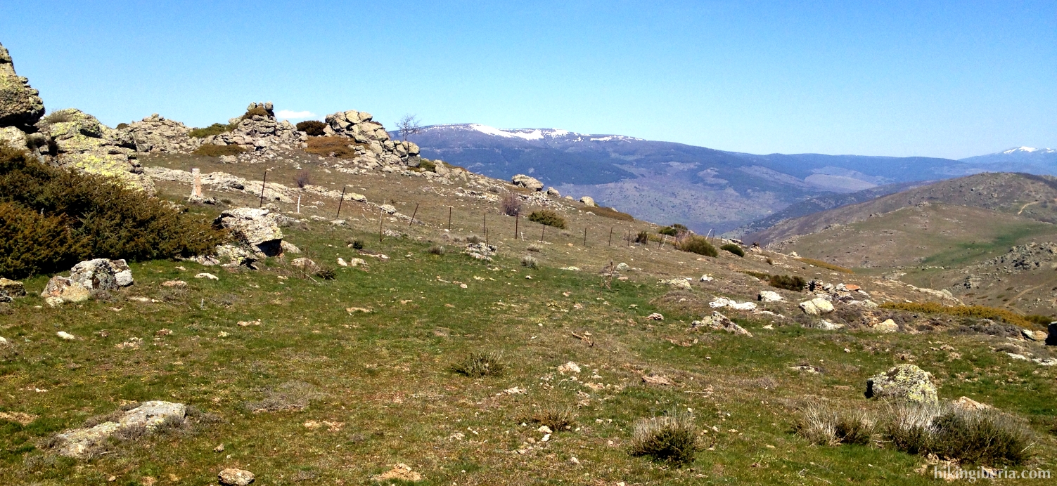
- From this peak we now continue straight on, having all the time a fence at our right hand. After a good time of walking we encounter an opening in the fence, behind which a downhill trail starts (11), which thus makes us turn to the right.
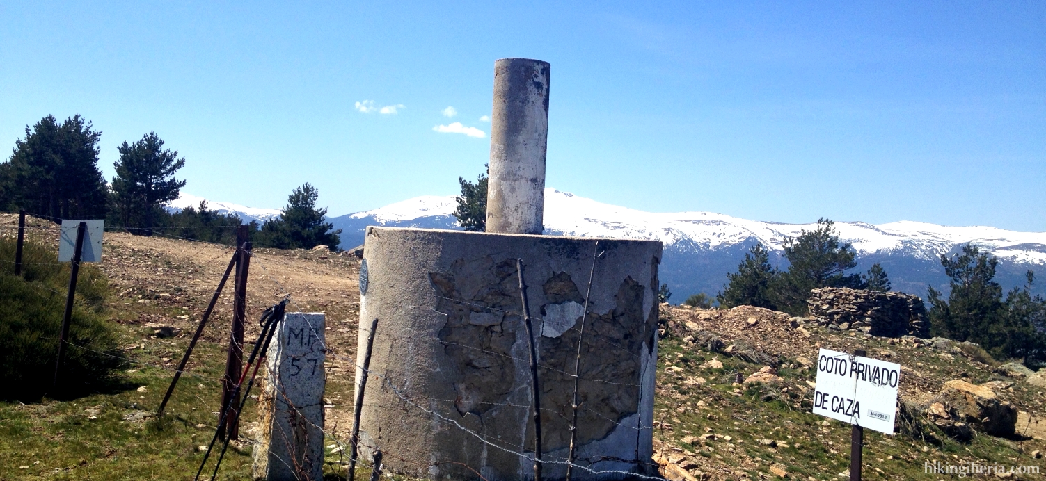
- Via this trail we now descend until about 1,600 metres until a refuge, the Majada del Cojo (12), where we turn right. After a few dozens of metres of descent the wide trail turns to the left (13), but we take the narrower trail on the right.
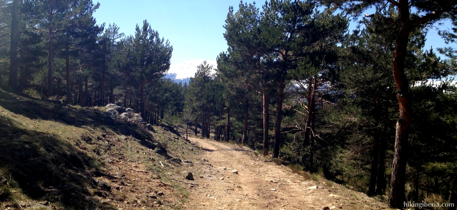
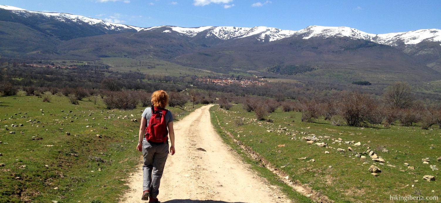
- On this trail we now ignore a number of crossings and side-trails until we reach a small farm with some fences (14). Here we turn left towards the village of Alameda Del Valle, which we can now observe in front of us.
- Via this dirt road we eventually reach Alameda, where we cross the river Lozoya via a bridge (15). Just behind the bridge, just before the village, we turn right, following the signpost to Pinilla Del Valle.
- We walk a bit through the village over a paved road. A bit further on (16) we follow another signpost to the right to Pinilla Del Valle, which makes us cross a little bridge.
- We now follow this path until we get close to the reservoir of Pinilla (17). Here we turn right and next go over the bridge, which returns us to the car park (1).