NL
NL  IT
IT  DE
DE  ES
ES  EN
EN 
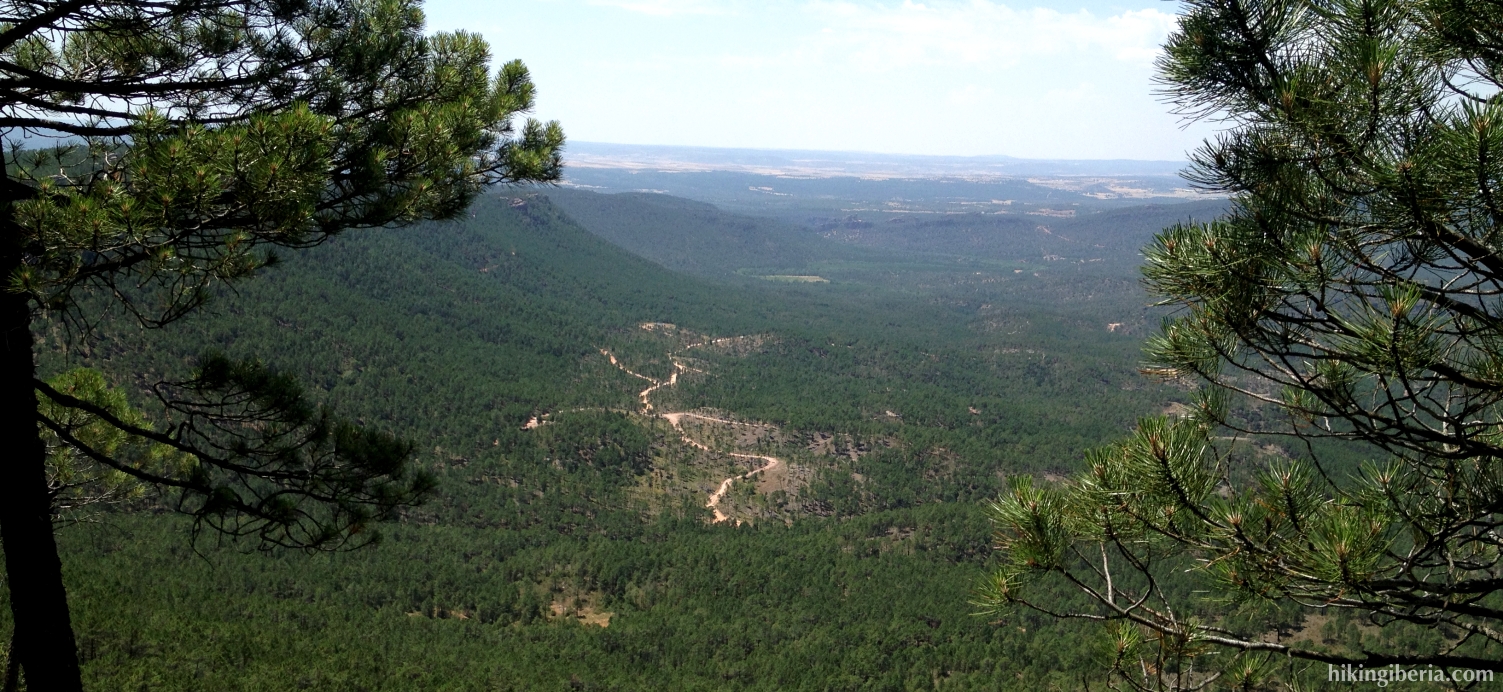
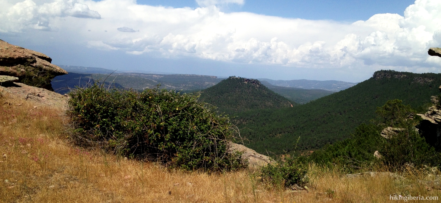
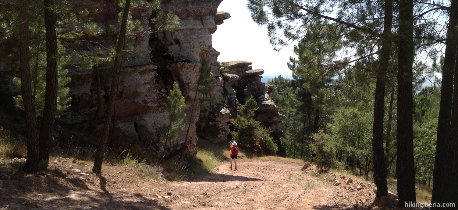
During this hike we visit the Sierra de las Cuerdas, a mountain range in the far southeast of the Serranía de Cuenca. On the first part of the hike we walk via wide trails to the Alto del Telégrafo, a peak where the surrounding mountains in the west, surrounded by a sea of pine-trees, literally lie at our feet. After that we continue to the Pico de la Zorra where we get past a number of very remarkable sandstone formations.
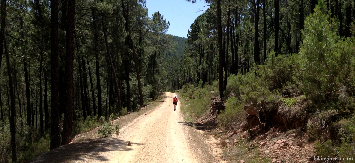

- From the junction (1) where we parked the car, we take the road on the right further uphill. We follow this road quite some time until a Y-junction (2) where we keep left. Further on we ignore a path on the right (3); through this path we will later return.
- Further on at a Y-junction (4) we keep to the right, signposted as PR-CU66 (La Presa). Directly behind it at the next Y-junction (5) we turn right again.
- Further on at about 1,260 metres we reach a junction (6). At the left lies another dirt road, but we follow the bend to the right further on this dirt road.
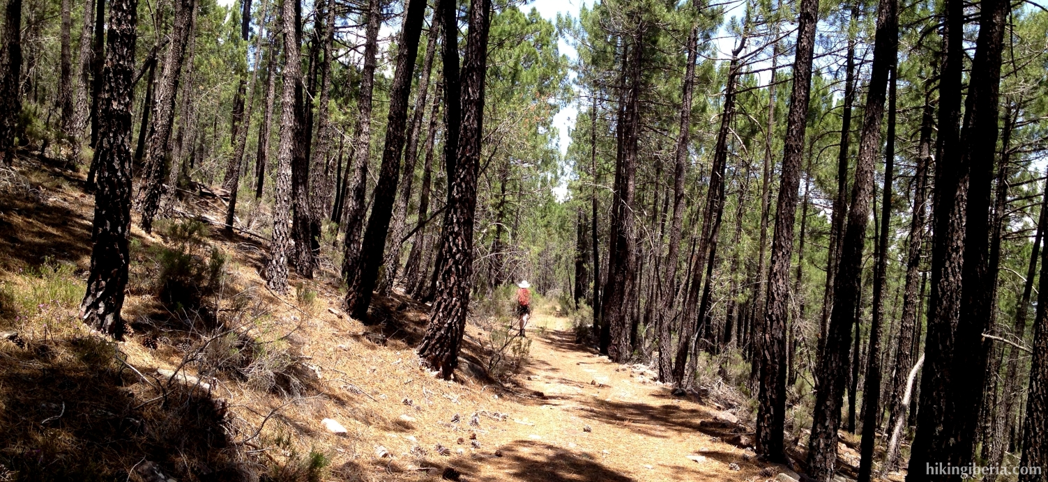
- Further on at about 1,315 metres we walk over the altitude line and the bend turns to the left. Just before this bend we take a trail on the right (7). This trail brings us to the Alto del Telégrafo (8). After having enjoyed the tremendous views from here, we follow the trail back to the dirt road (7) where we now turn right, further following this road.
- At the next Y-junction (9) we turn right, onto a forest trail. At the next T-junction (10) we turn right again.
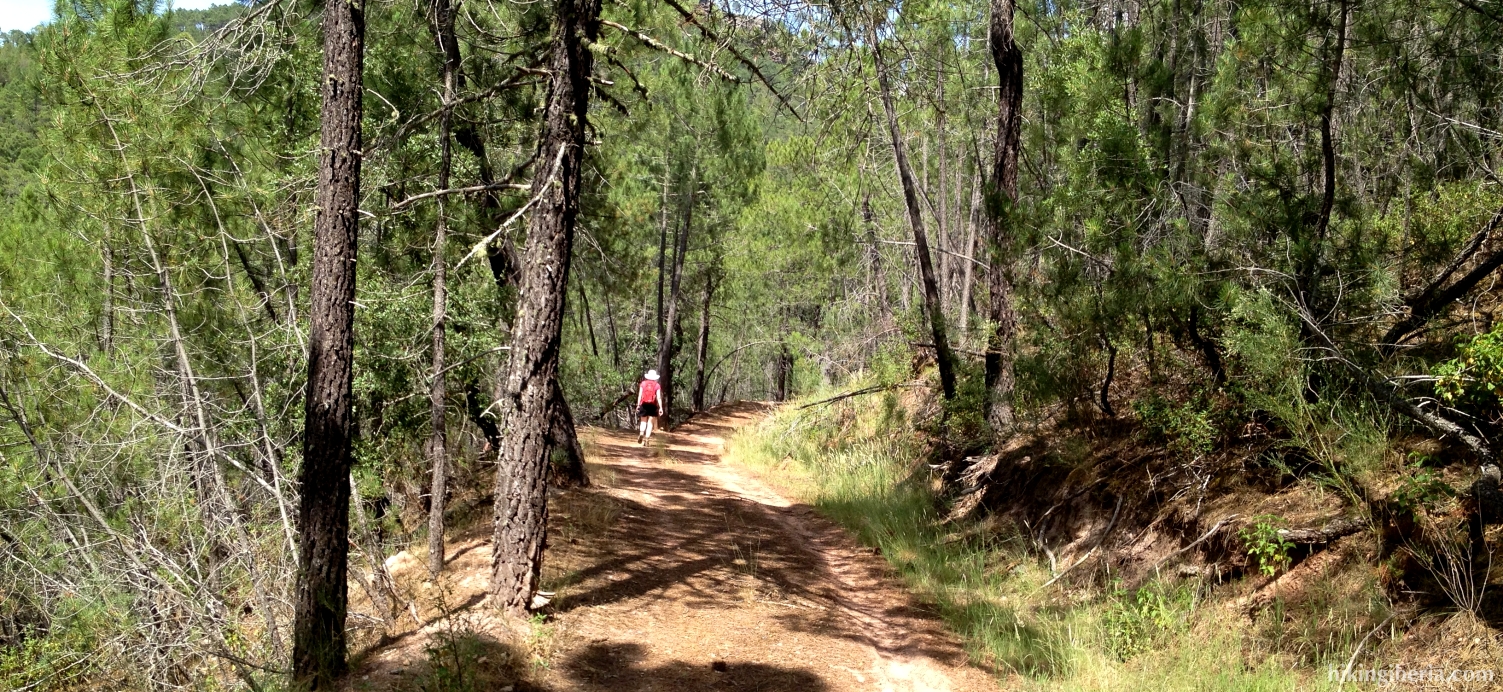
- We now keep following this trail the entire time, which will take us over the Pico de la Zorra (11) with its remarkable sandstone formations and a telecommunications mast. From the Pico de la Zorra we now further descend to a Y-junction (12) at about 1,250 metres, where we keep right further downhill.
- We now descend for a while and turn right at the T-junction (13). We further descend to approximately 1,130 metres and turn right on the trail (14) where our trail ends up. Further on we cross another trail (15) and go straight on.
- We now follow this trail for quite some time and at the end need to face another descent. The trail ends up at another trail (16) where we turn right. Almost directly we reach the dirt road (3) where we already walked on the way out. We turn left and walk via the same route back to the car.