NL
NL  IT
IT  DE
DE  ES
ES  EN
EN 
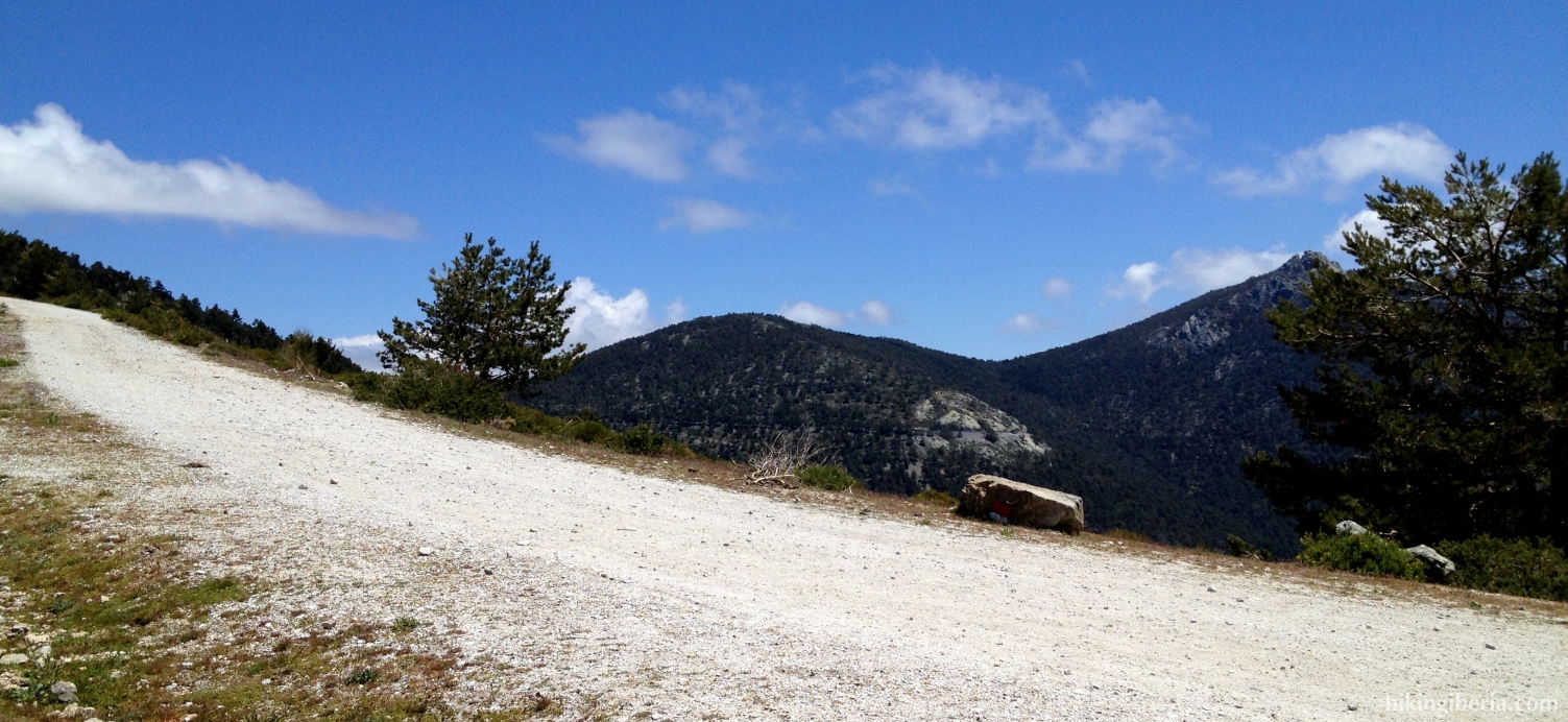
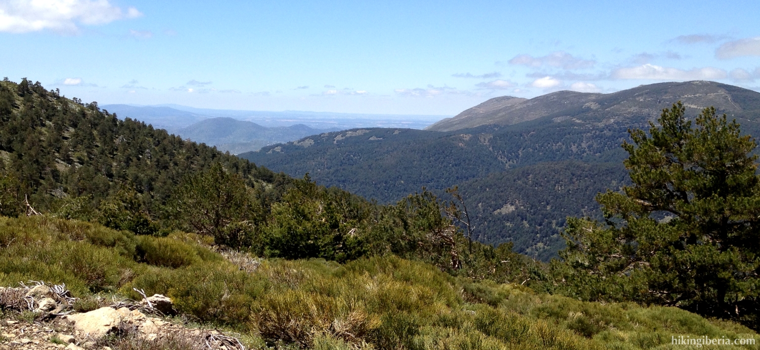
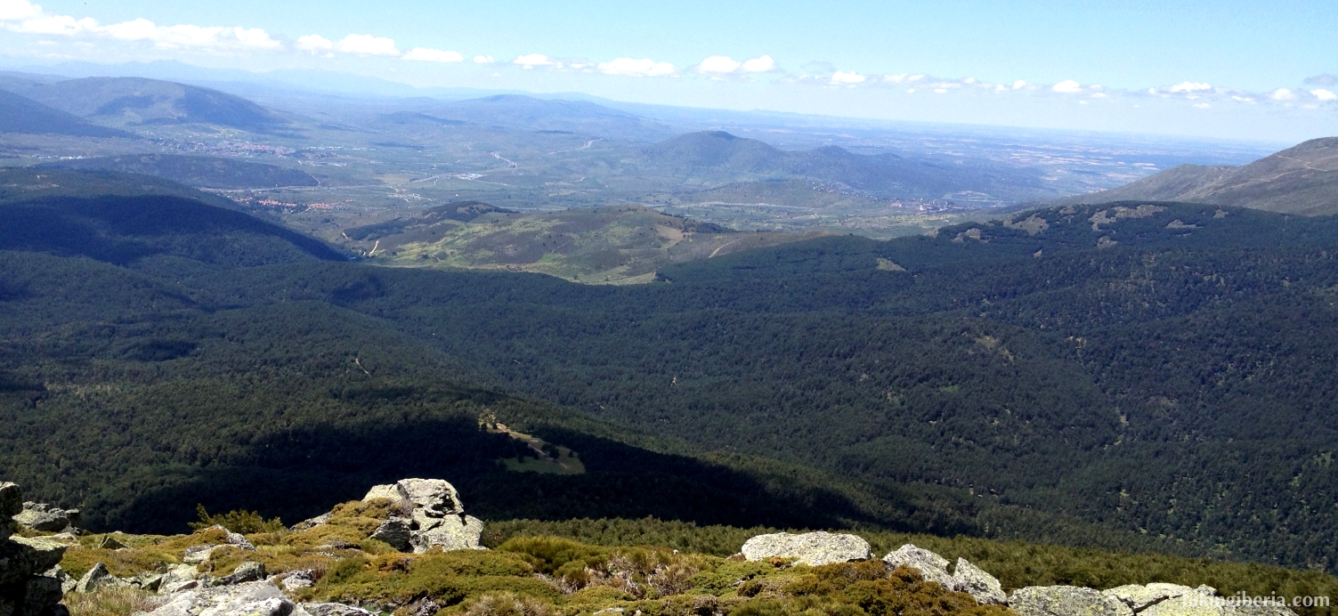
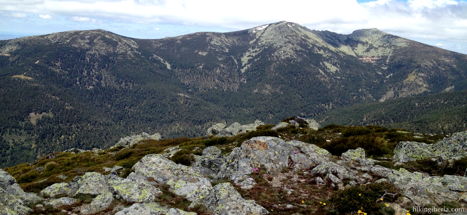
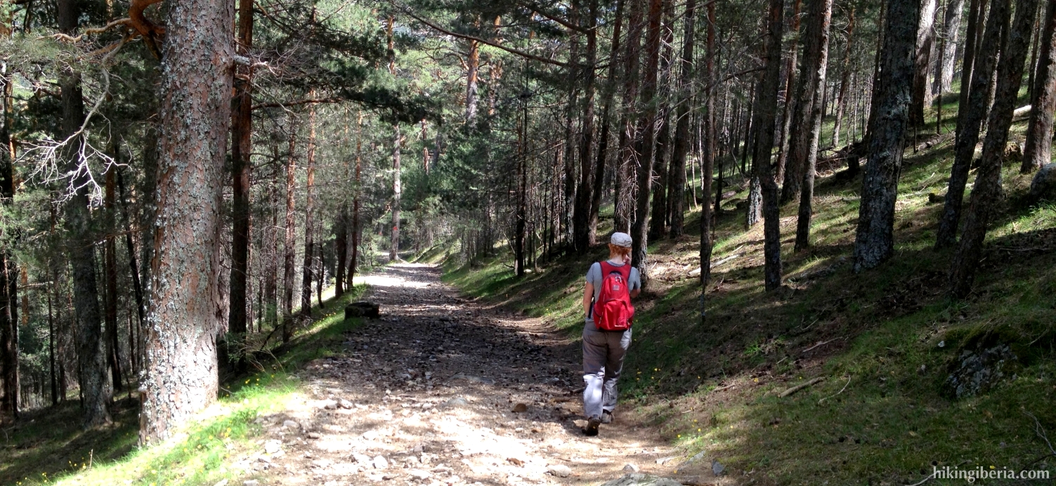
This hike in the neighbourhood of Cercedilla takes us via the old Camino de Segovia to the Collado de Marichiva, from where we take the GR-10 via a crest that brings us to the Cerro Peña del Águila, at about 2,000 meters. From this crest we have a lovely view: on the right on the valley of the River Moros, on the left on the valley of the Fuenfría. On the way back we make a quick descent through the forest in the neighbourhood of the Arroyo del Infierno, to return to the point of departure via the old sanatorium of Fuenfría.


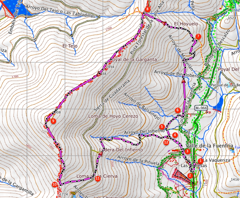
- From where we parked the car (1) we walk back a stretch towards the information centre (2). Here on the right side of the road, across the information centre, lies a trail with a staircase, marked with red dots. We enter this trail.
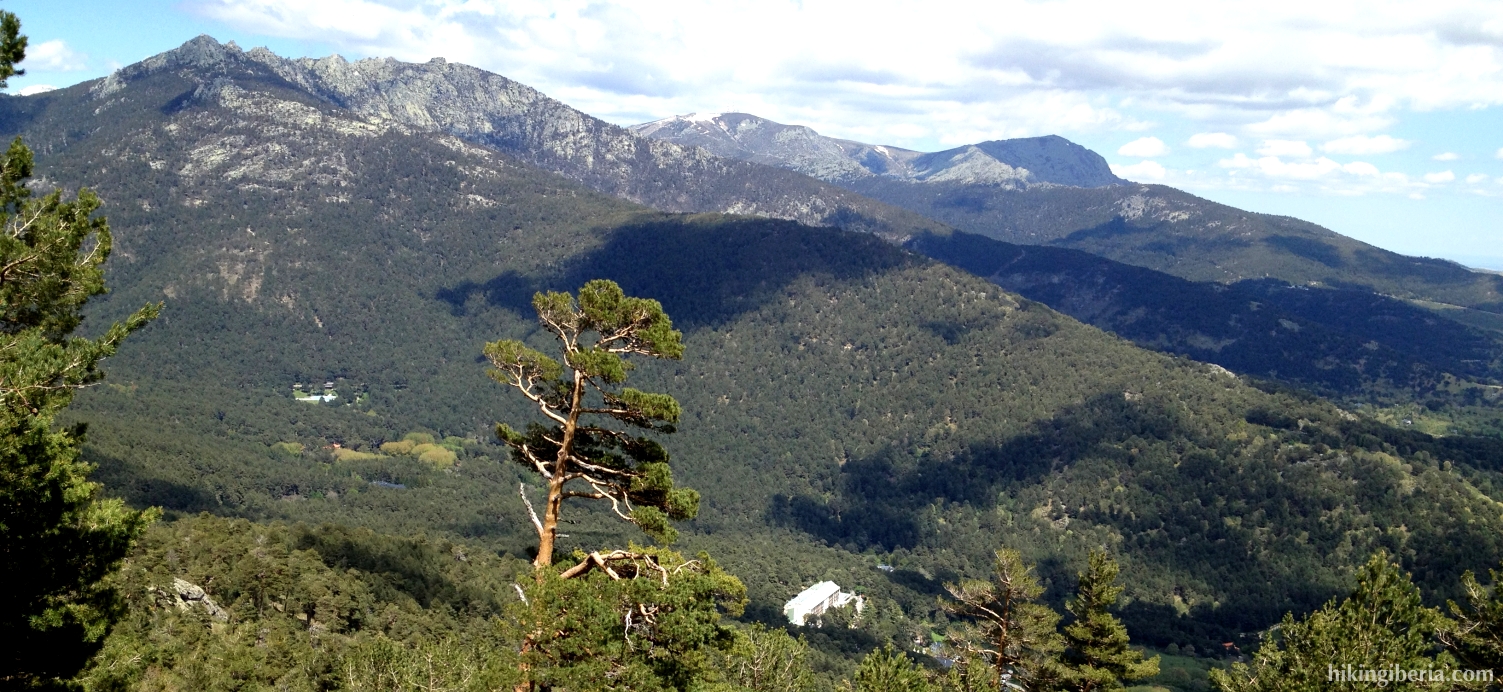
- Above these stairs we turn right, following the red dots. This trail ends at an asphalt road at the hospital of La Fuenfría (3). Here we turn right and then keep left, towards a path on the opposite, which is again marked with red dots.
- A bit further on above in a bend we enter a trail on the right, which is marked with red dots (4). Further on we go through a gate and further on at a crossing of trails we turn right a bit downhill, still marked with red dots. Further on we cross a trail (5) and go straight on.
- We twice cross a brooklet, go through a gate, then turn to the left and walk past a house (6). We now walk parallel to an asphalt road. We get through another gate and walk a stretch uphill through the forest.
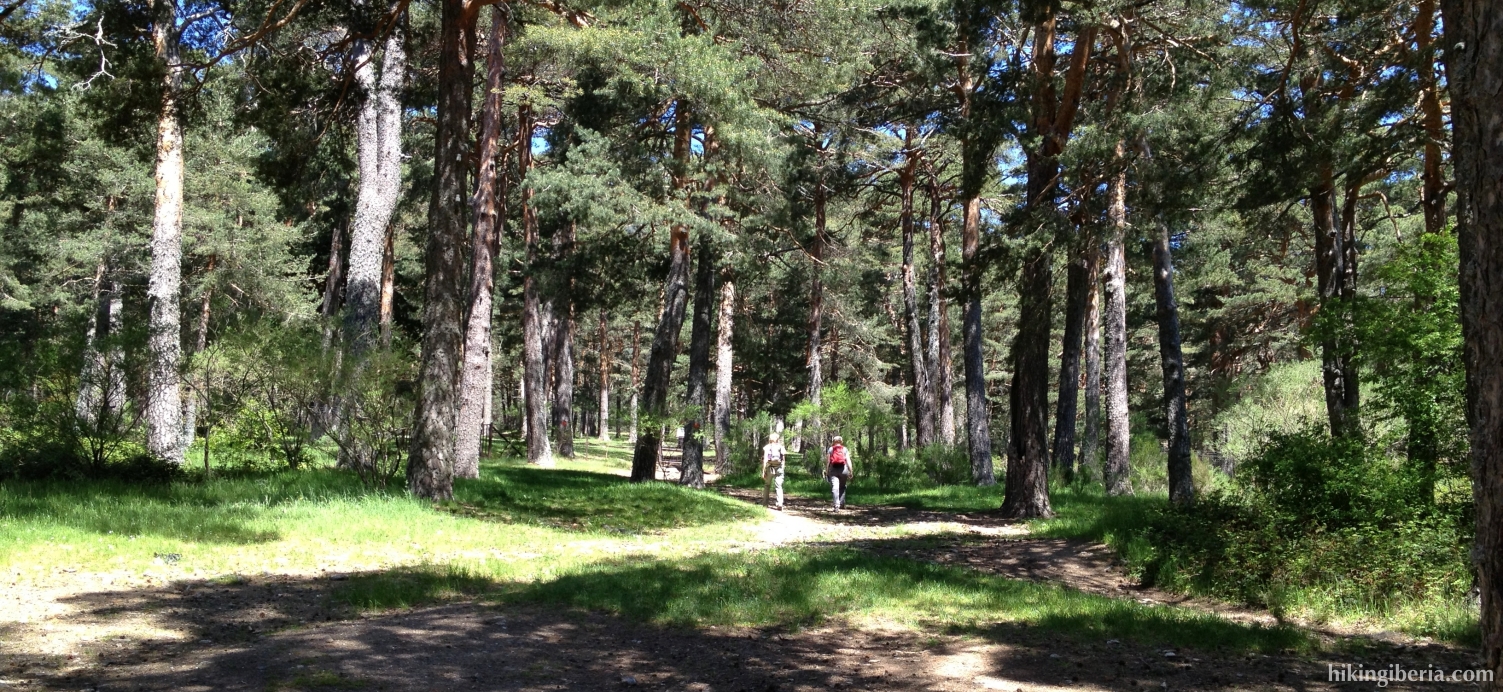
- Further on in a bend we reach a crossing with another gate (7). Here we follow the bend turning to the left further uphill, still following the red dots. Further on we walk parallel to the Arroyo de Marichiva that runs below us further to the right. This trail - the last stretch a bit steep and full with stones - bring us to the Collado de Marichiva (8).
- We cross the wide path, go through the gate and next turn to the left, onto the red-white marked GR-10, further uphill.
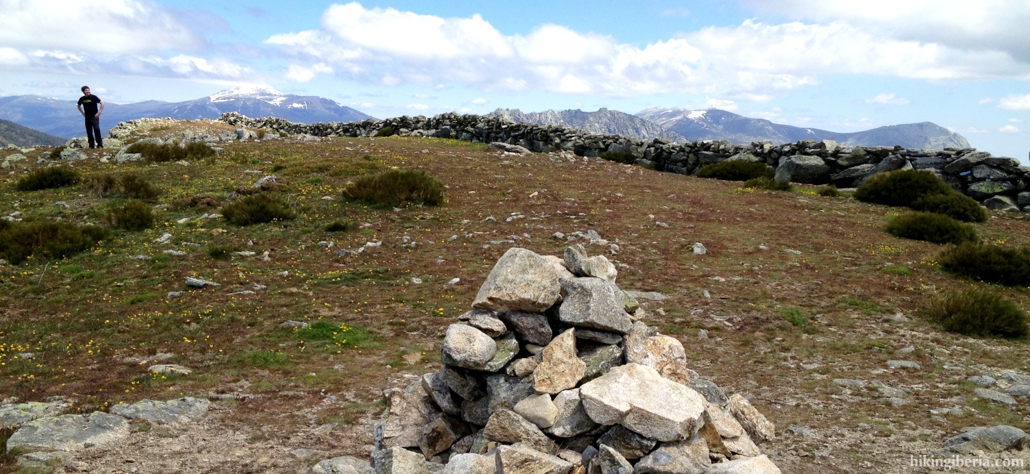
- This trail we follow until the top, the Cerro Peña del Águila (9). A bit past the top we go over the low brick wall and continue the trail at the left side of the wall. We now continue over the crest with still the wall at our right hand and descend to about 1,780 metres (10). There at the right we see a gate in the wall and at the left a trail, which we enter, thus leaving the GR-10.
- After a good descent we reach the same dirt road (11) we already crossed on the Collado de Marichiva. We cross this road and continue further to the left downhill onto a trail with red dots and a signpost “Vereda de la Piñuela”.
- After having followed this trail and the red dots for a while we reach a junction with on the left another trail (12), which we entered on the way out. We now go straight on here, still following the red dots.
- We now reach the hospital (3) again, cross the road and on the other side of the road on the right we enter the same trail downhill, which will return us to the information centre.