NL
NL  IT
IT  DE
DE  ES
ES  EN
EN 
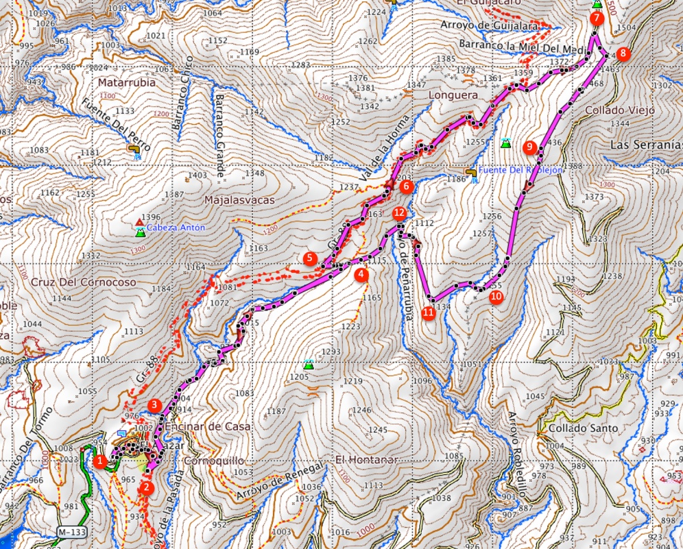
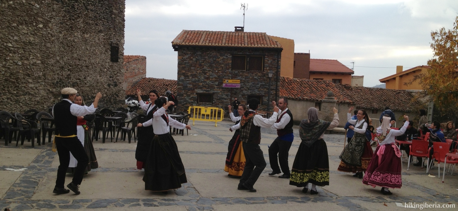
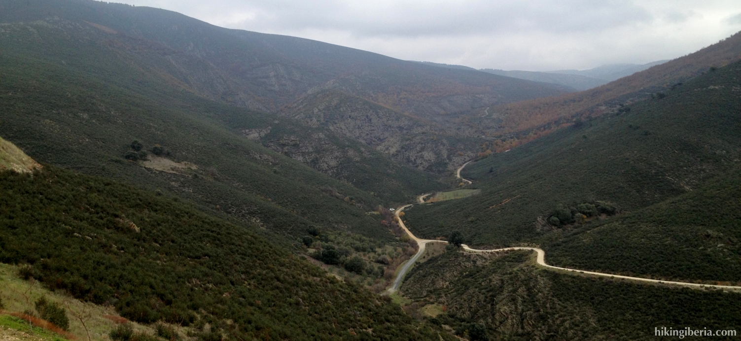
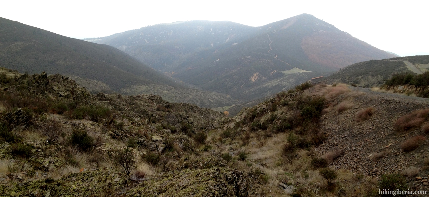
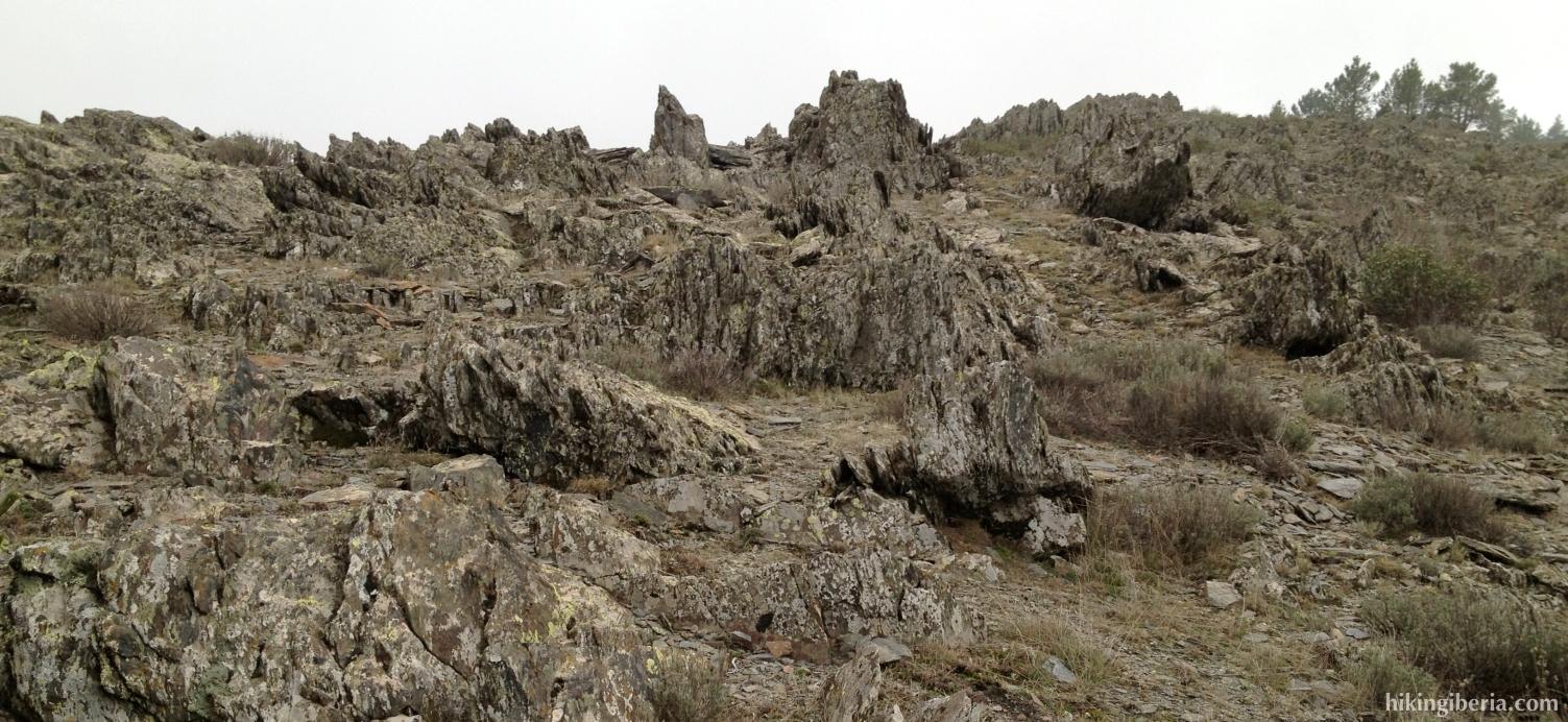
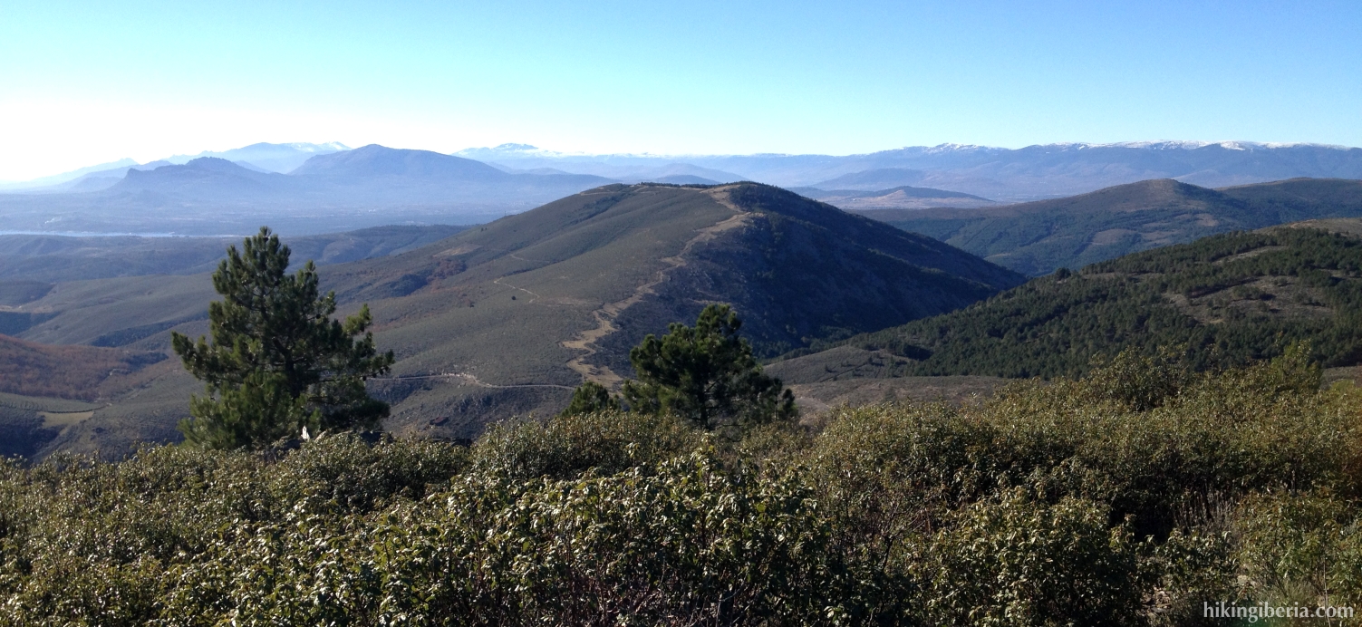
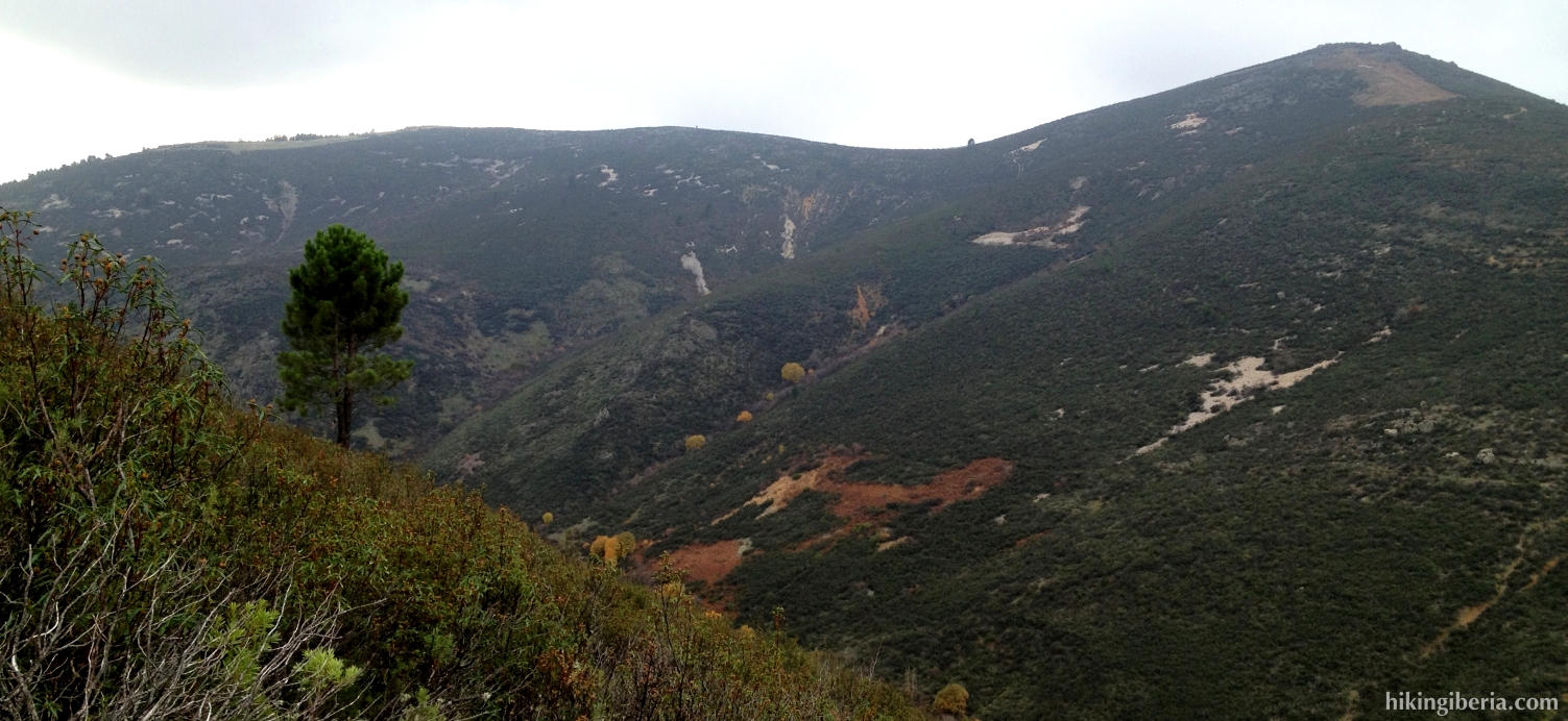
This hike takes us through the surroundings of the village of El Atazar, through one of the least known areas of the Sierra Norte de Madrid. Because of the deforestation that has taken place here, the area is now very dense with lower vegetation, which makes it appear different to us than other parts of the Sierra Norte or the Sierra de Guadarrama. The route runs via the Collado de la Pinilla and the peak Pico Somosierra, from where in clear weather we have a nice view on the peaks of the Sierra of Madrid.


- From the Calle Eras (1) walk downhill, back to the main street (Avenida Presa del Atazar). Walk further into the town and walk via the Plaza de la Constitución past the church on the right side of it. We now reach the Calle Cuesta into which we turn right, downhill.
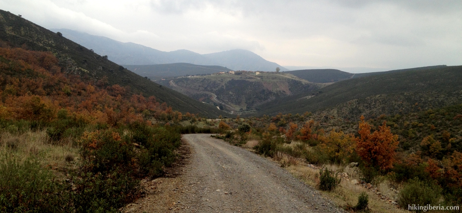
- We follow the Calle Cuesta until its end and continue in the same direction until we walk past the cemetery. Just past the cemetery we get at a fork (2), where we turn left, downhill, onto the dirt road.
- We now descend for quite some time, eventually reach a bridge and just behind it we reach a Y-junction (3), where we keep left.
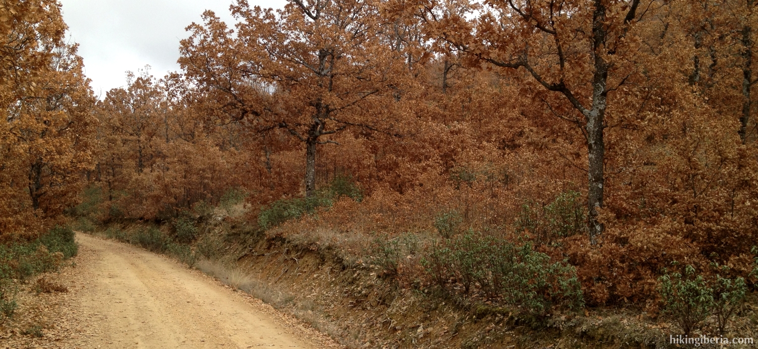
- We go through a gate and stay on this wide path for a long time, which ascends rapidly. After a long time we go through another gate with just behind it a Y-junction (4), where we turn left, uphill. Through the trail on the right side we will later on the hike return.
- Through the bend we turn left further uphill and quickly get at a bend that turns to the right. We ignore the trail that goes straight on here (5).
- After quite some time we get past a broad path on the right side of our path, closed with a chain (6), which we ignore. Thus we just continue straight on.
- Further on the path is closed for traffic with a barrier, behind which is a Y-junction (7). Here we turn right further uphill. Quickly we reach another Y-junction (8) where on the left the wide path continues and is closed with a barrier. We turn right here onto a trail that quickly narrows.
- A bit further on we need to pay attention. The trail continues to the left, but to the right there is an even narrower trail onto which we need to go.
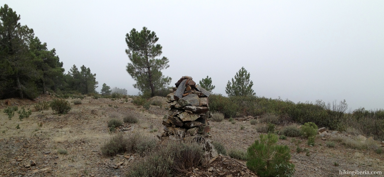
- From the Pico Somosierra (9) we continue the trail straight on, which now starts to descend heavily on a loose surface. At the point where the trail becomes less steep, both from the right and the left a trail joins ours (10), but we just continue straight on here.
- We now walk a couple of minutes past a row of pine trees until at the right side we see a narrow trail (11), onto which we go.
- We now start the descent to the Arroyo de Peñarrubia, which we reach after quite some time and cross through some stones (12). At the other side of the brook we keep left, start to ascend again until we reach the Y-junction (4) that we already passed on the way out. We now turn left and walk back to El Atazar and the Calle Eras (1) via the same route.