NL
NL  IT
IT  DE
DE  ES
ES  EN
EN 
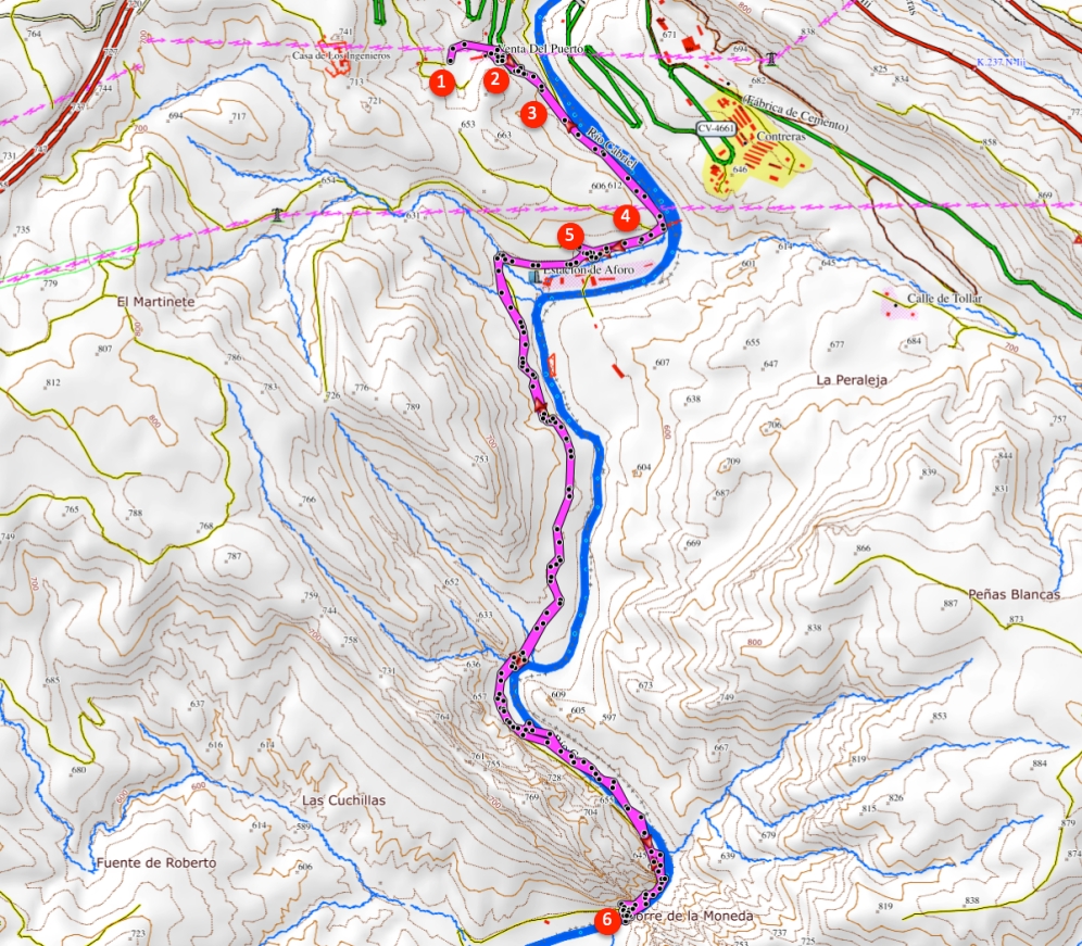
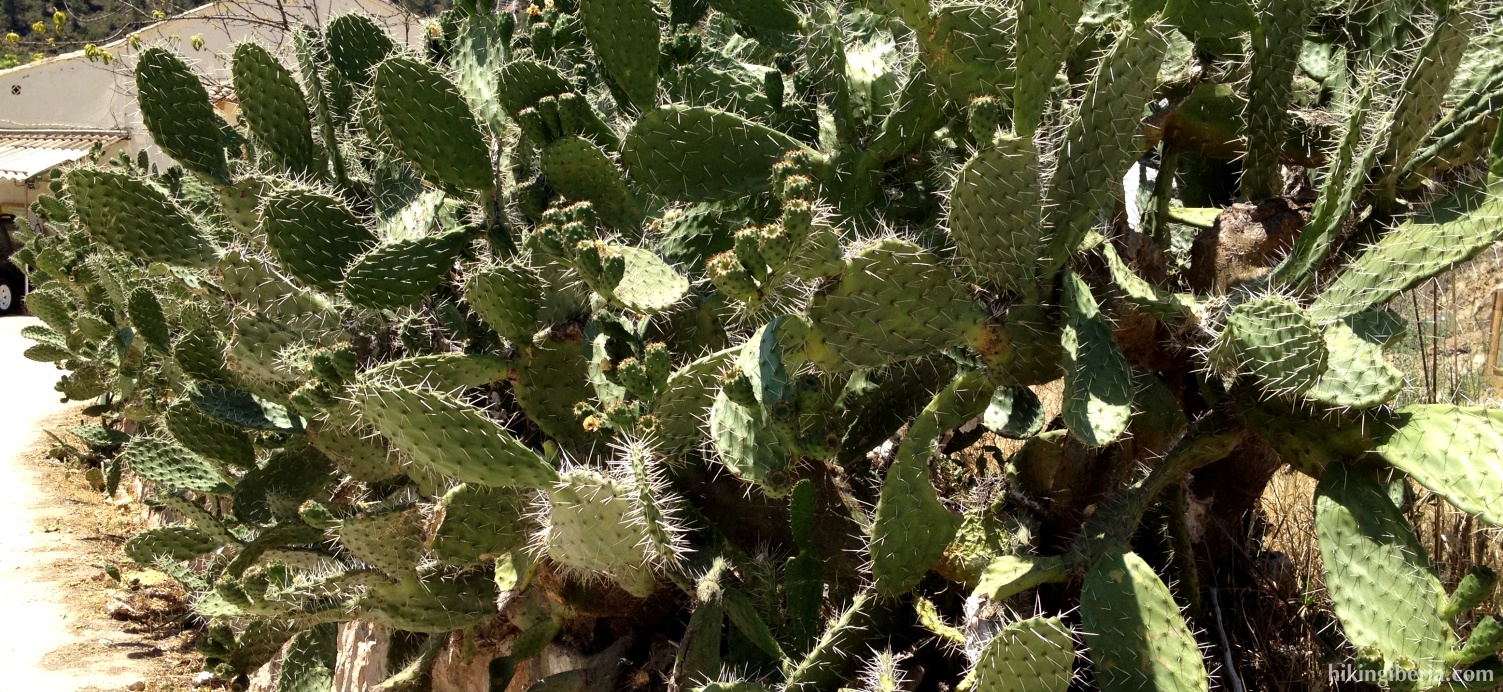
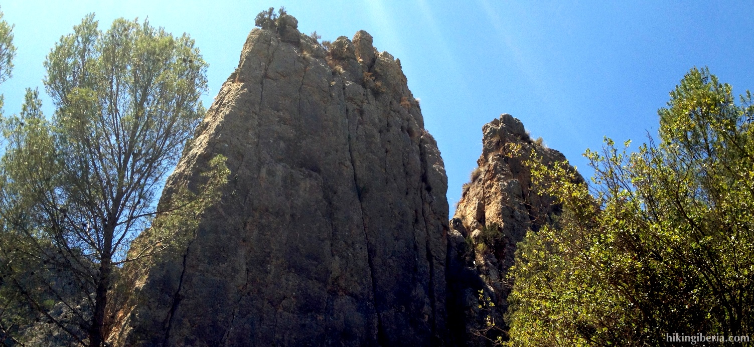
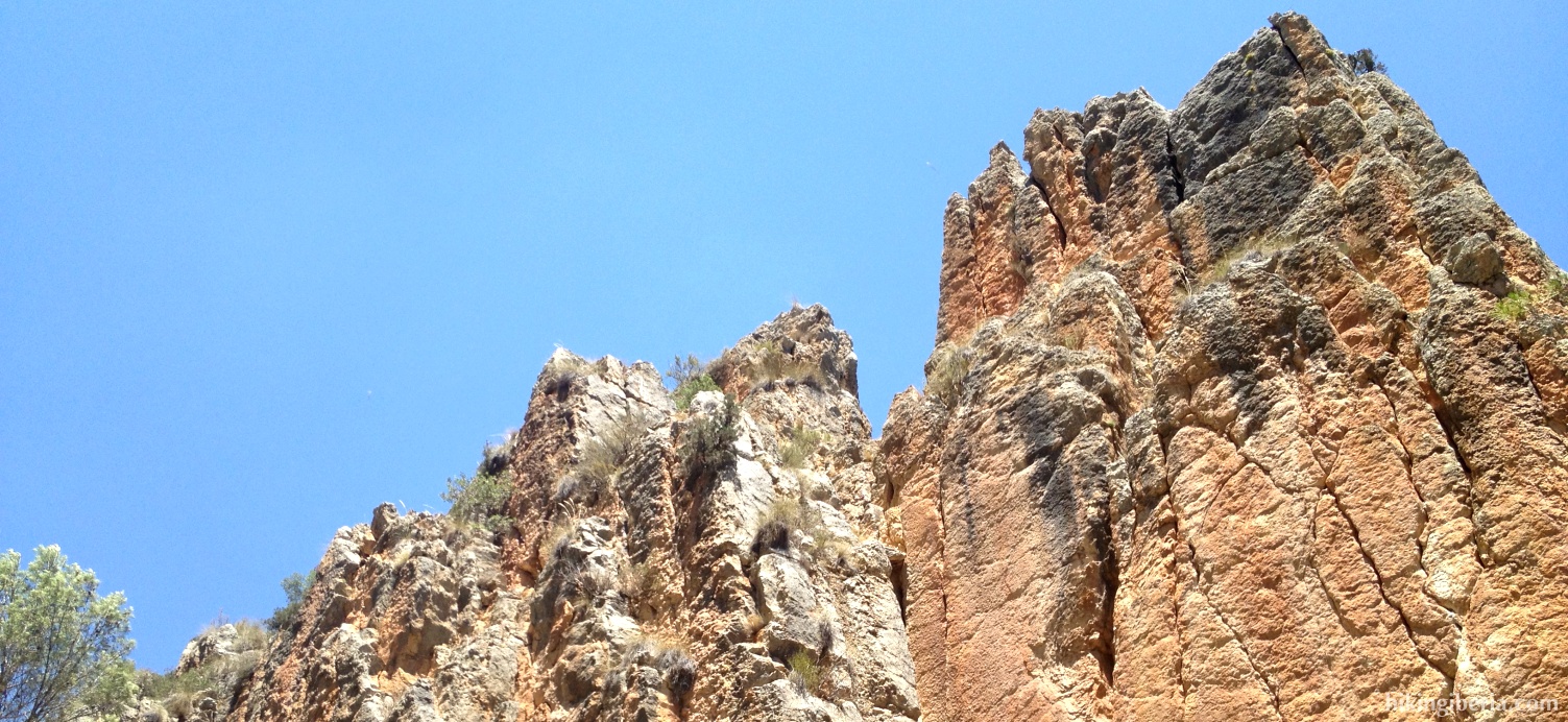
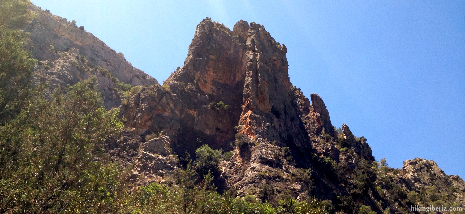
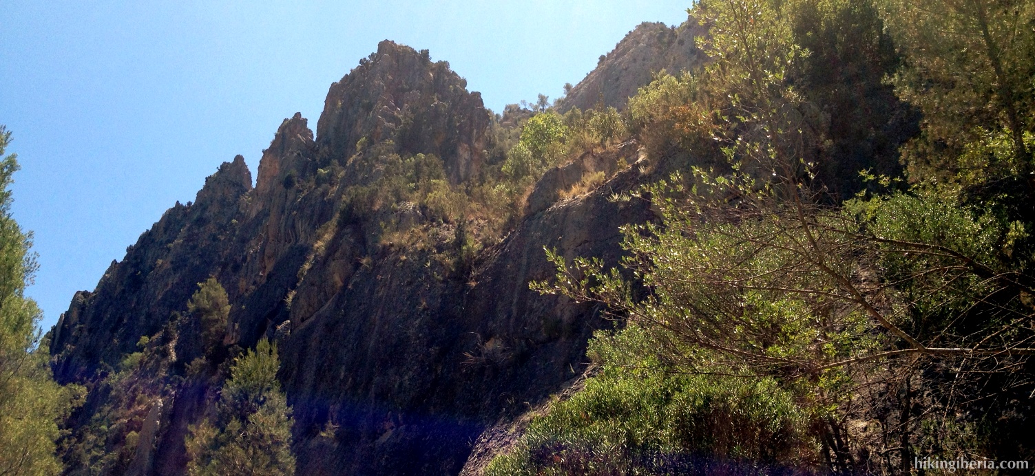
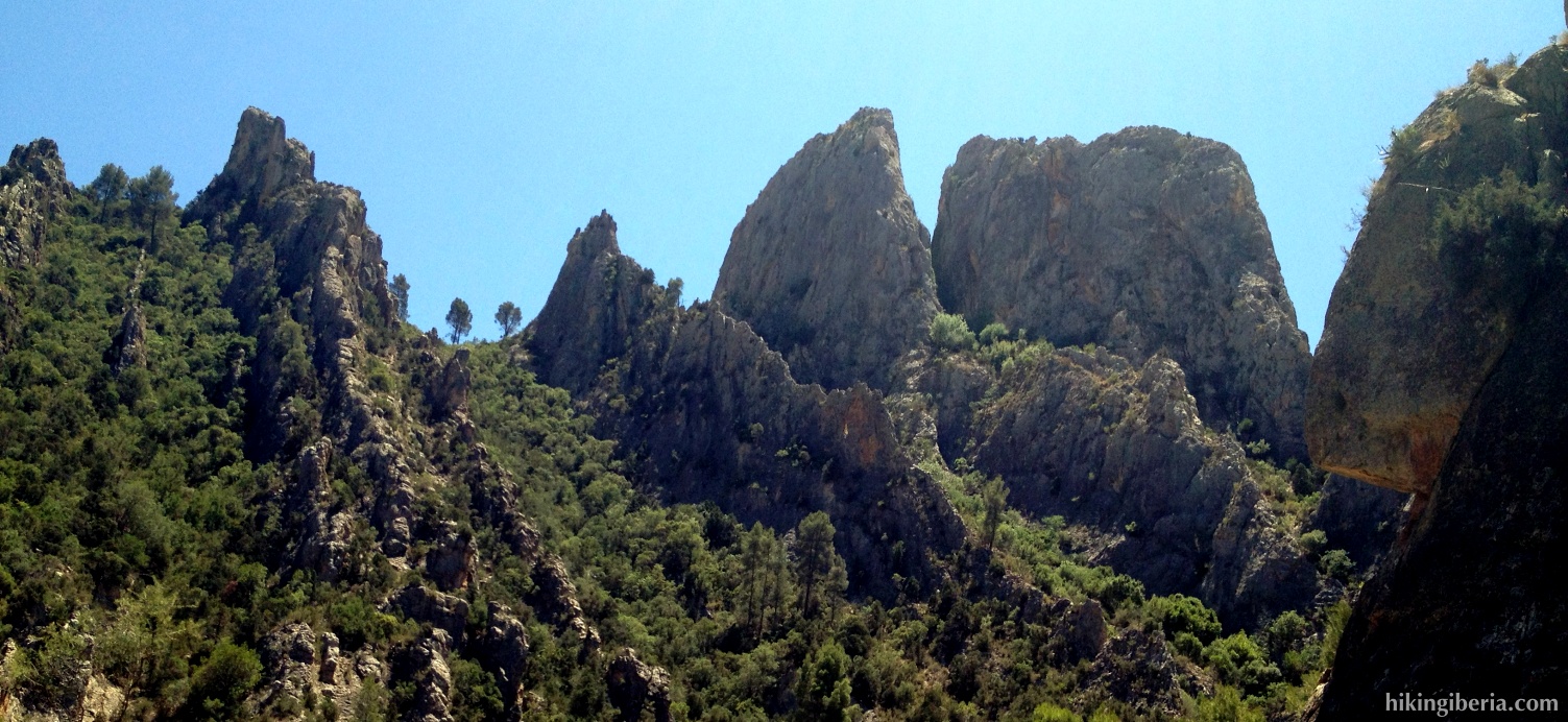
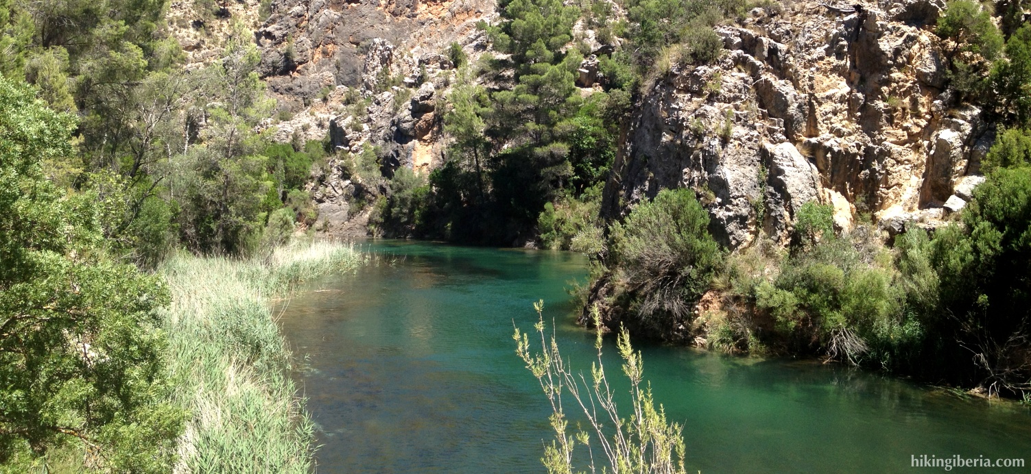
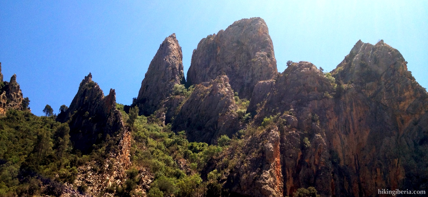
The route takes us through the natural park of Hoces de Cabriel and ends at the Cuchillos of Contreras. Cuchillos is the Spanish word for knives, but also stands for a phenomenon in geomorphology in which a mountain ridge is formed as a result of the play of the wind, water and chemical processes. The Cuchillos of Contreras are a beautiful and fascinating example of this natural phenomenon.

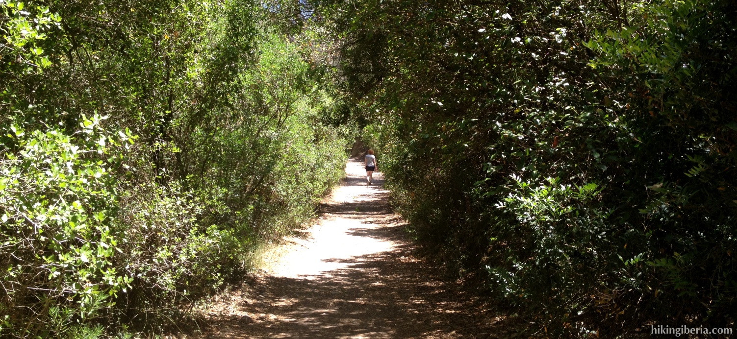
- We leave from the campsite Venta de Contreras (1) and take the trail that in a bend just past the camping goes downhill via some stairs (2).
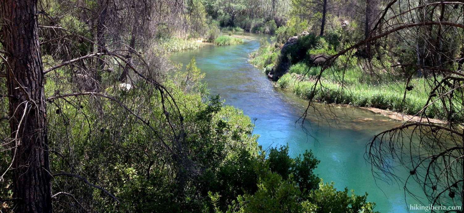
- Down at the end of this trail we end at a road (3) where we turn right. We follow this path along the river Cabriel and get at an electricity building (4). Here we go left following the bend to the right past an activity complex.
- A bit further on lies the visitor centre of the park (5), which we pass on the right. We ignore the path on the right and keep straight on.
- Further on at a Y-junction we keep right and keep further straight on staying on this trail, following the signpost.
- From here on it is impossible to lose track. We just follow this path to automatically encounter the Cuchillos.
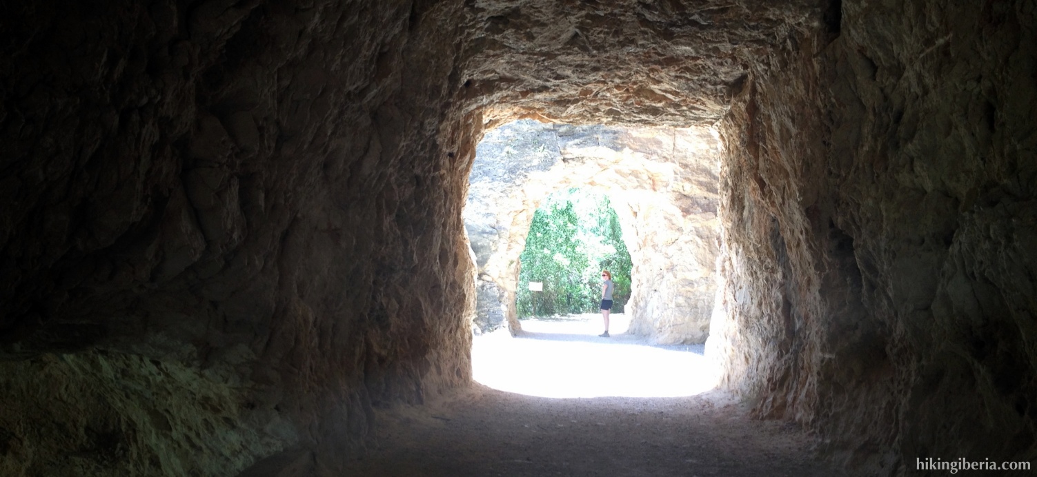
- Just before the end of the route the trail runs through a small tunnel through the rocks; just behind it there is an indication that the trail ends here (6). From here we walk through the same route back to the campsite.