NL
NL  IT
IT  DE
DE  ES
ES  EN
EN 
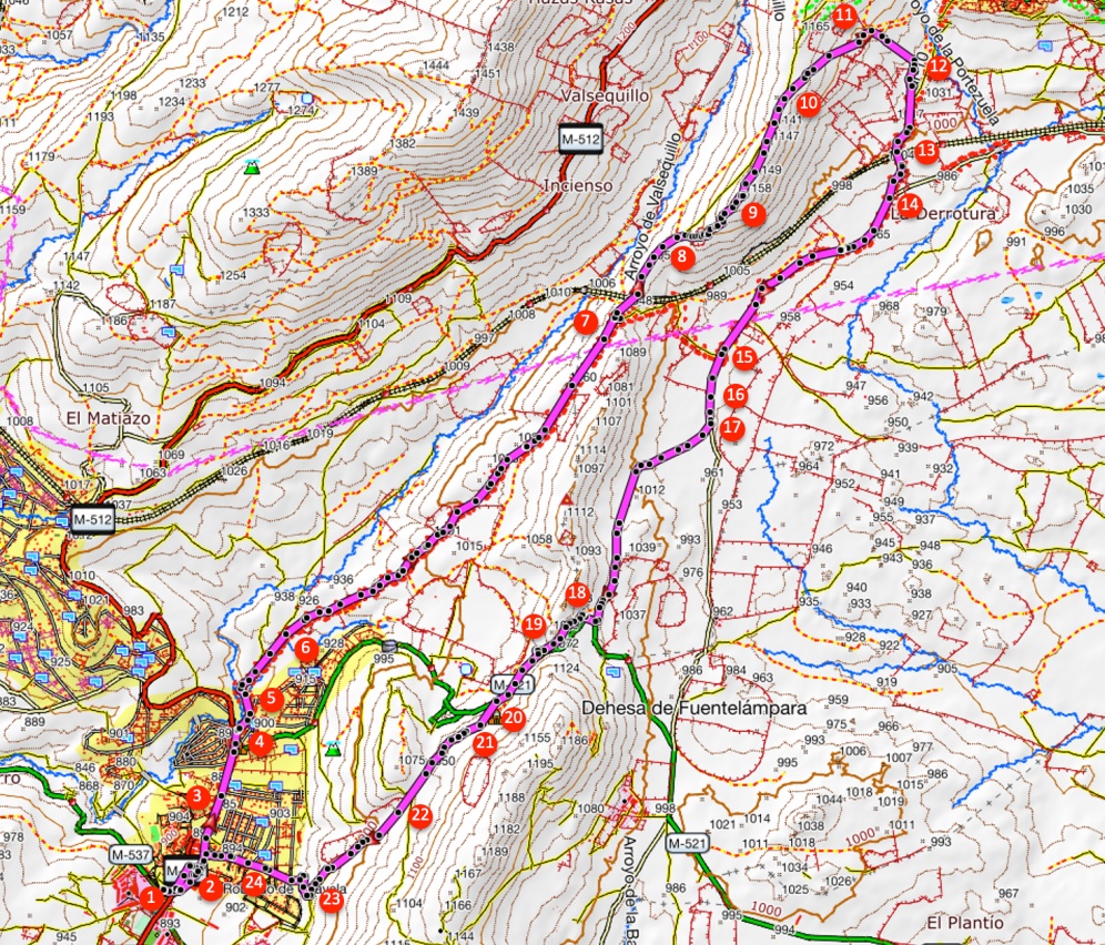
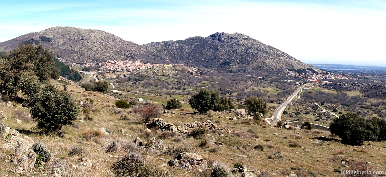
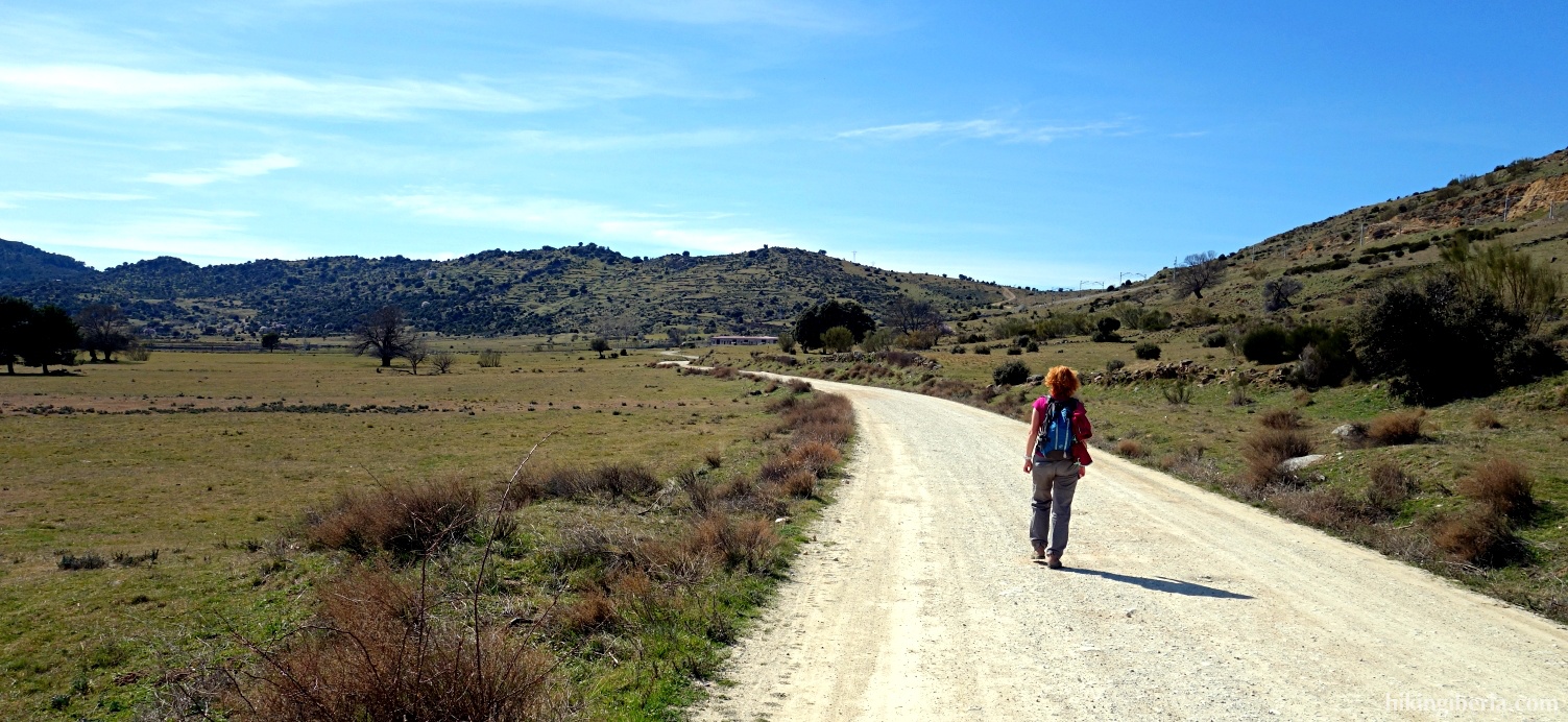
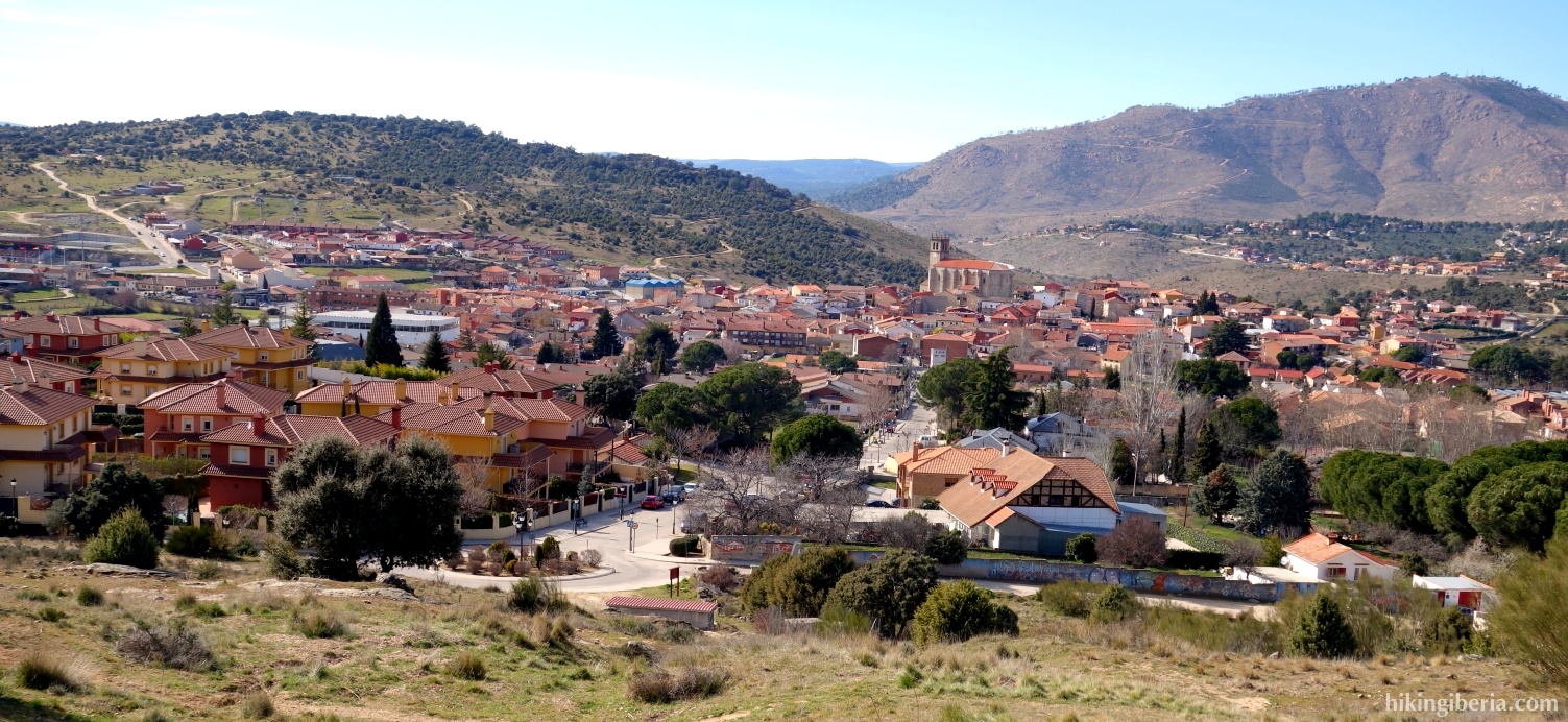
On this route we make a hike without too much effort through the surroundings of Robledo de Chavela and Zarzalejo, through the rolling hills of the Sierra Oeste de Madrid. From the highest point on the Prado Pellejero we have a nice view on Robledo, the valley of the stream Arroyo de Valsequillo and the Machotas near El Escorial.


- When you are on the main road M-512 with the gas station (1) on your left, take the first street to the right, the Calle Traspalacio (2). This street leads to the Calle de la Concepción (3) where we turn left and next we turn right into the Paseo de la Antigua.
- We follow the Paseo de la Antigua / M-512 for a while and turn right just before the bridge, into the Calle Dr. Perez Suárez (4). Quickly, at a fork (5) we turn left into the Calle Valsequillo, at the sign "Camino de San Lorenzo".
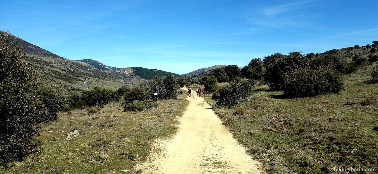
- The Calle Valsequillo quickly changes into a dirt road. At the Y-junction (6) of two wide trails we keep right and we start to ascend slightly.
- After more than an hour of walking on this path we reach a fork (7), where the white-red marking of the GR-10 leads to the right. We follow the GR-10 here and continue straight on the path with a white-red cross.
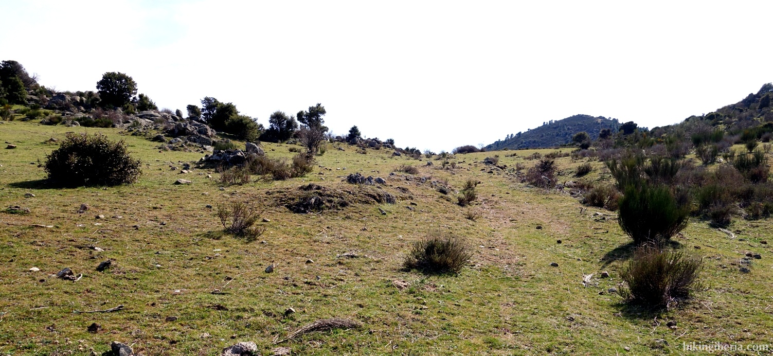
- Once we are on the other side of the train track we keep right at the Y-junction (8) and ascend to the highest point of the Prado Pellejero (9). We continue on the trail, now downhill and reach the path we earlier left. We continue straight on for a while and ascend slightly. Once the path begins to descend a bit, we turn right leaving the trail (10).
- We start to descend and see the village of Zarzalejo in front of us. Further on we walk parallel to a wall with a fence on top of it and where the wall turns right, we also turn to to the right (11). We now descend steeper, still parallel to the wall. The path further turns to the right (12) and finally leads to a bridge over the train track (13).
- We follow the wide path and ignore further on a path at the left (14). A bit further in a bend the GR-10 is indicated to the right with a white-red marking (15), but we go left / straight on here, continuing on the wide trail. Further on we ignore the first path on the right (16), but on the second occasion do turn right (17), onto a narrow path that later turns into a small trail that is easy to follow.
- This path eventually leads us to the asphalt road M-521. Just before this road we turn right (18) and we follow a not too clearly discernible path up the hill. This path runs along the M-521 above it. A little further we keep right again.
- We go through a makeshift fence and arrive at a view point on the M-521 (19). We walk a short distance straight ahead on the asphalt road until we can leave it on the left (20), signposted towards the "Ermita de San Antonio de Padua." This path further on turns left towards the Ermita; we turn right here (21).
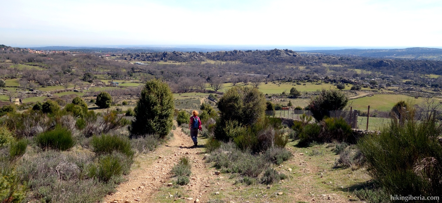
- Further down the path is divided into three (22) and we go straight on the middle path, and begin to descend towards Robledo de Chavela. When we see the houses of Robledo at our right hand, we turn right on a path (22) and walk into the village. At the roundabout we go straight on, walk through the asphalt road further into Robledo and keep left at the end (24), into the Paseo de San Antonio de Padua.
- We turn left at the next street and walk back to the crossroads at the gas station (1).