NL
NL  IT
IT  DE
DE  ES
ES  EN
EN 
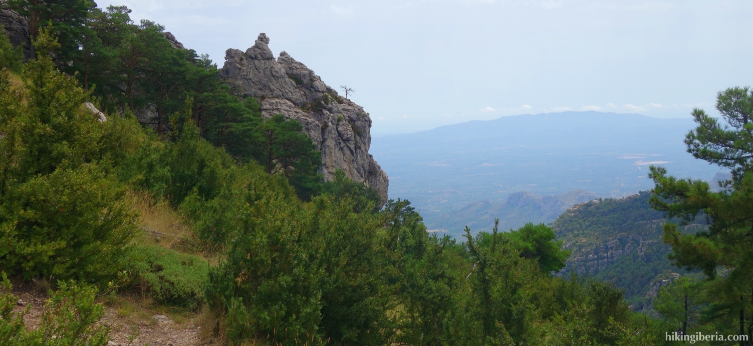
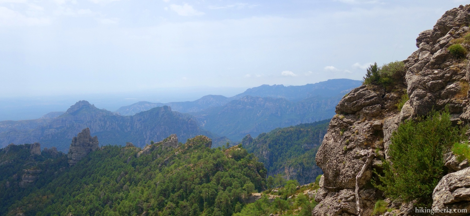
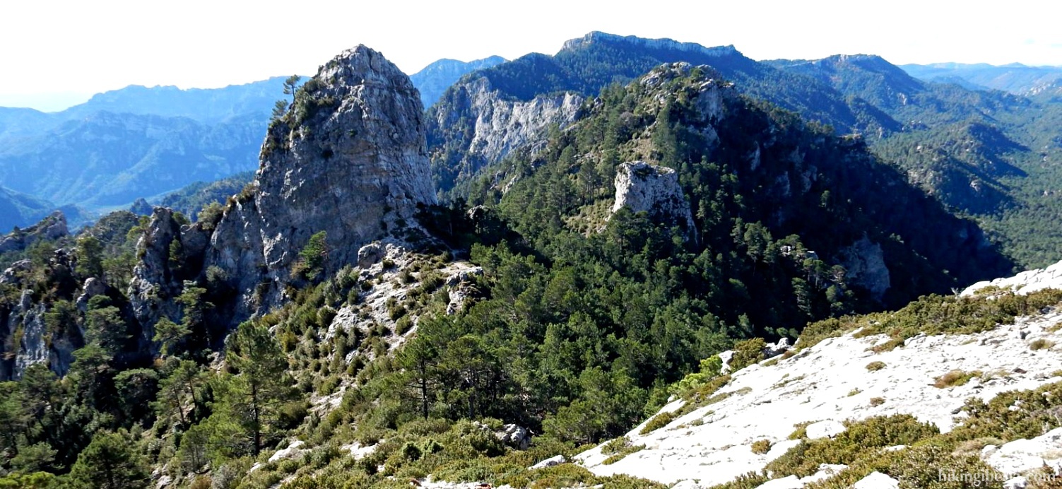
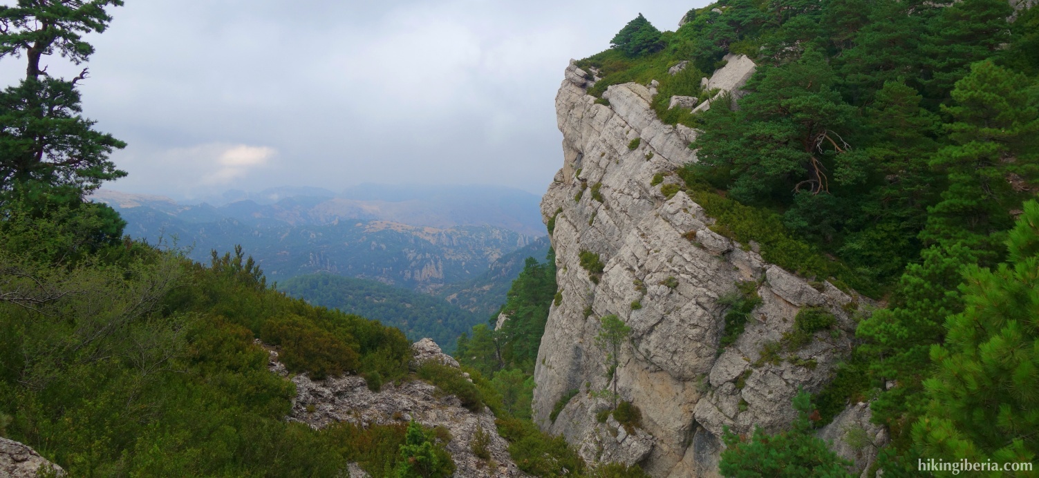
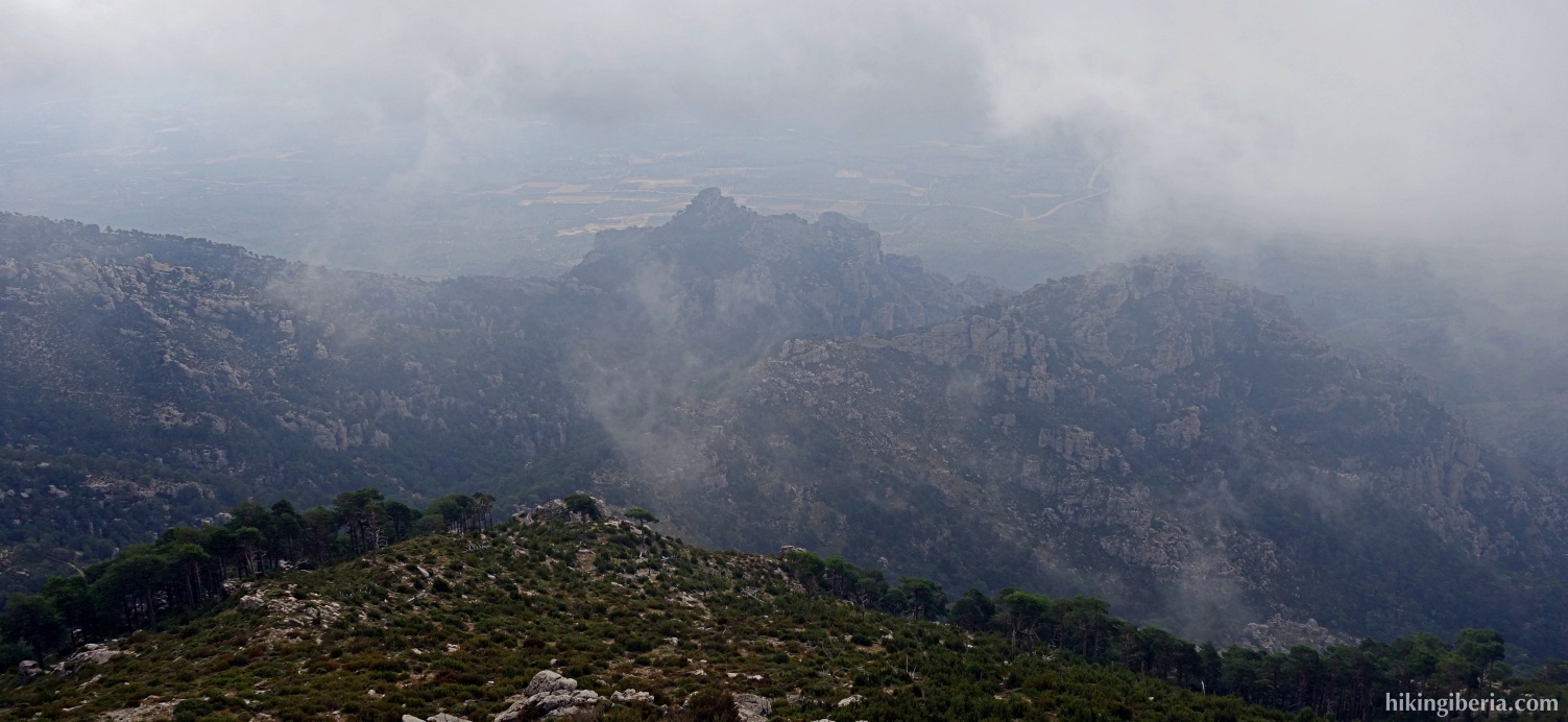
At 1,441 metres, Mont Caro is the highest peak of the Parc Natural dels Ports and also of the Catalan province of Tarragona. An asphalt road also leads to the top, so you likely won't be alone here. Although we are in a low mountain range, the hike takes us along a number of steep and rocky passages. We combine the hike with a visit to the top of La Barcina.


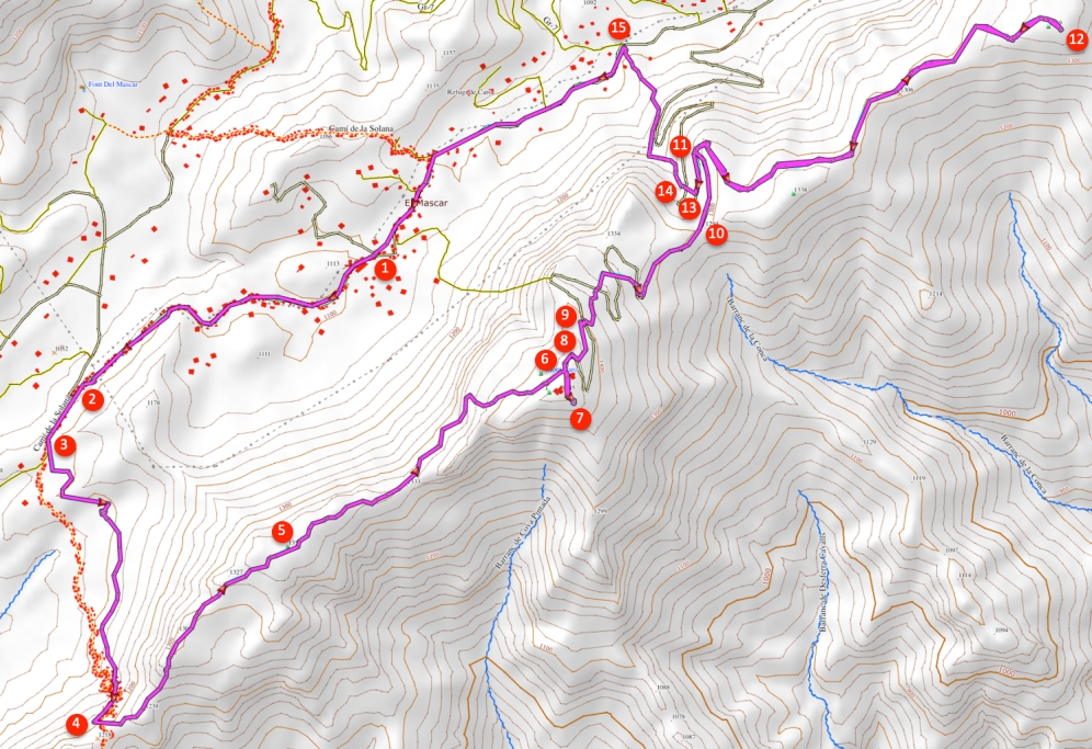
- From the Restaurant del Port (1), follow the signpost to Coll dels Pallers, the asphalt road along the restaurant.
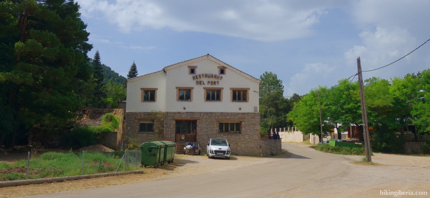
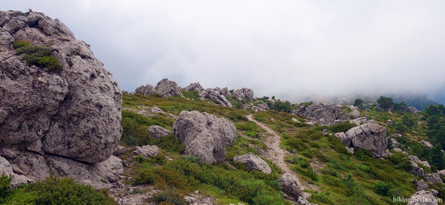
- After about 1,300 metres the asphalt road splits and we keep to the left (2), towards the Coll dels Pallers. About 300 metres further on, a red-white marked trail (3) starts on the left of the road, the GR-7 to the Coll dels Pallers, which we thus enter.
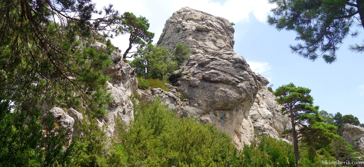
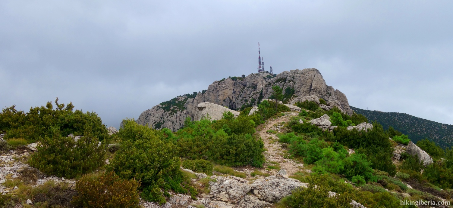
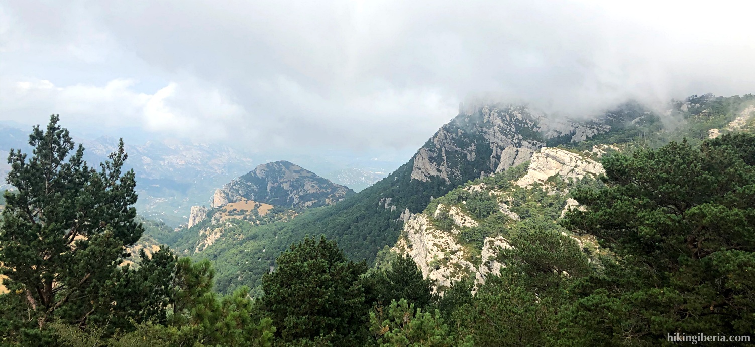
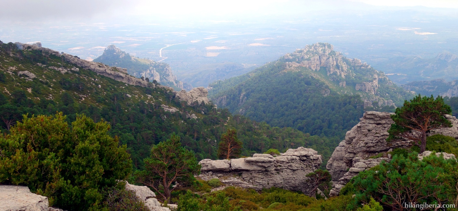
- After about half an hour we arrive at the Coll del Pallers (4) where we already have a nice view. We turn left, towards the Cim de Caro. From here the trail is steep at times and well marked with both white-red and milestones. After about half an hour we arrive at a small plateau (5), where we have the antennas of the Mont Caro right in front of us.
- Another half hour later we arrive at an asphalt road (6) at the Mont Caro, where we of course turn right and walk the last stretch to the top (7).
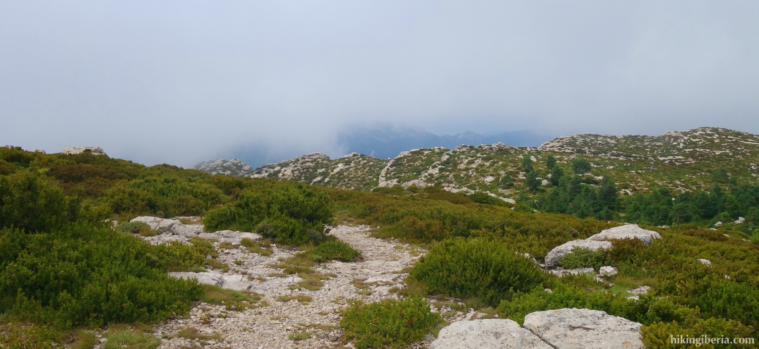
- From the top (7) we simply follow the asphalt road downhill. After about five minutes (8) we turn left off the asphalt road, onto a trail towards the Coll de Vicari. After a few minutes (9) we cross the asphalt road and the trail continues on the other side.
- We eventually arrive at the asphalt road again and after more than 10 minutes at a fork (10) we continue straight on to La Barcina. A little further in the bend of the road at a large sign (11) we take the path on the right to La Barcina. Via this trail, which is marked with milestones, we walk without too much effort to the top of La Barcina (12).
- From La Barcina (12) we walk back via the same trail to the asphalt road (11) where we initially go straight, downhill.
- Soon we find a trail on the right (13) and we leave the asphalt road. We cross the asphalt road again (14) and go down a somewhat steep trail. After almost fifteen minutes we arrive at an asphalt road (15) where we turn left, following the signposts to the refugio.