NL
NL  IT
IT  DE
DE  ES
ES  EN
EN 
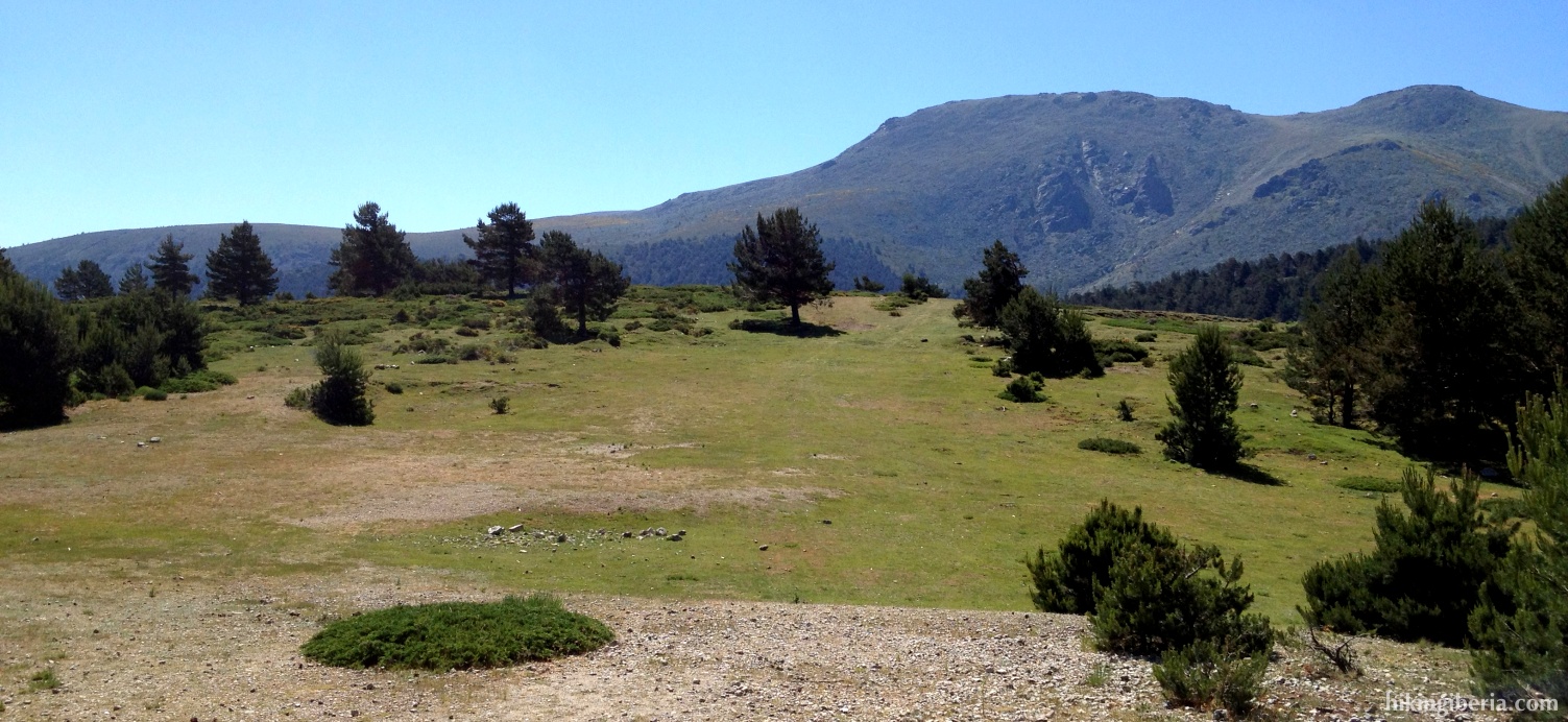
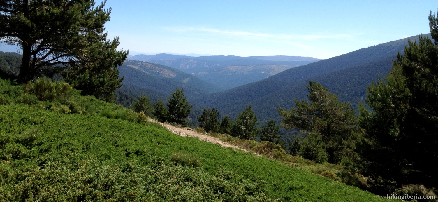
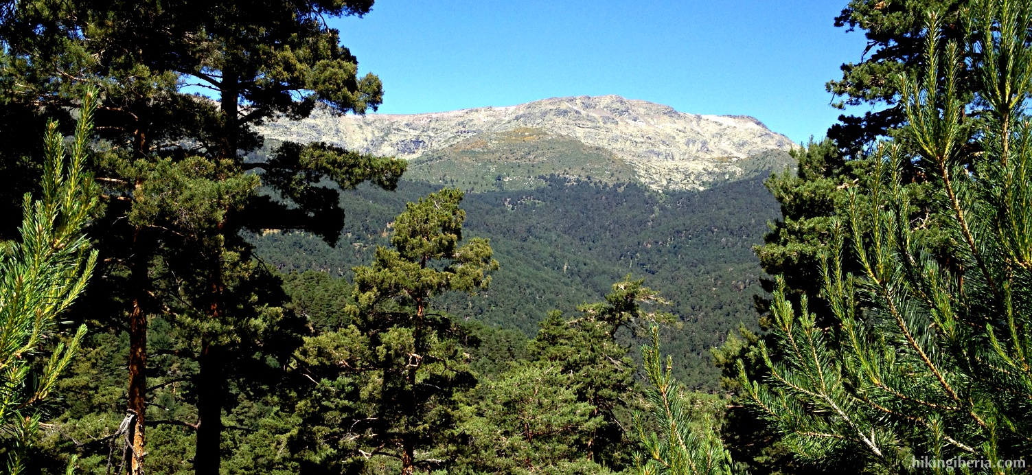
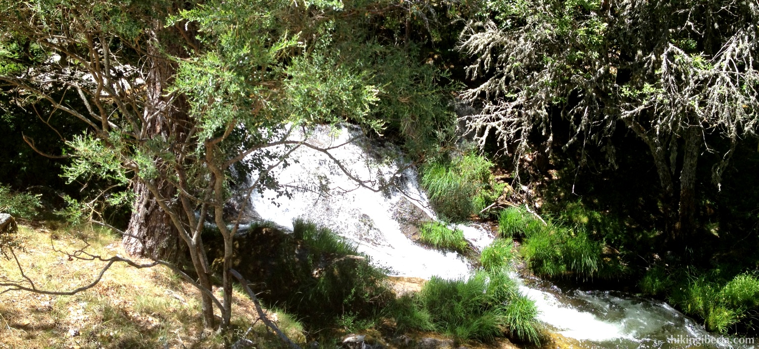
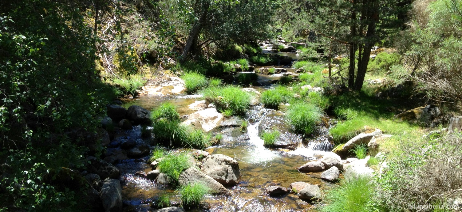
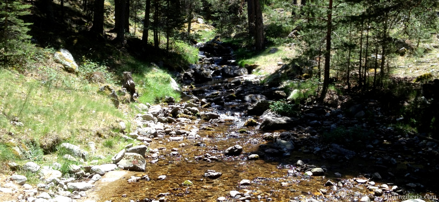
This hike leaves from Cotos, popular because of the fact that from here the climb to the Peñalara, the highest mountain of Madrid, can be done. We on the contrary go in the other direction, for a hike through the high valley of Lozoya and the basin of the Angostura and its branches. The quantity of water that flows through this area is remarkable for Madrid standards. Because at the end of the route, when we follow the Angostura, the path through the forest cannot always be easily found, the hike ends with more difficulty than appears at the beginning.

- From the car park (1) we walk a short way back towards the Puerto de Navacerrada. Next we take the road on the left towards Valdesquí (2).
- We follow this road for a while until in a bend we get at a number of parking places. Here on the left side we see a path that is closed with a barrier and that has a signpost towards the youth hostel “el Pingarrón” (3). We enter this path.
- At the youth hostel (4) we follow the bend to the right going down.
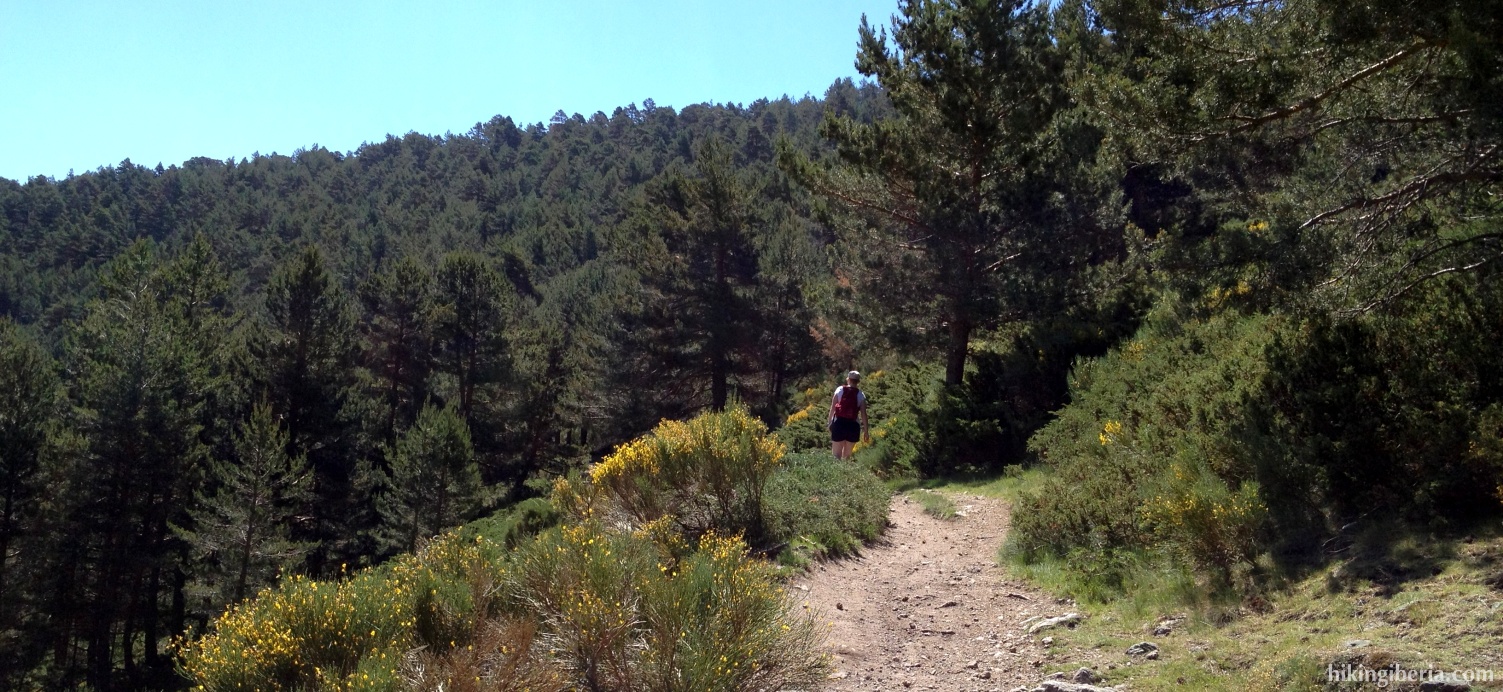
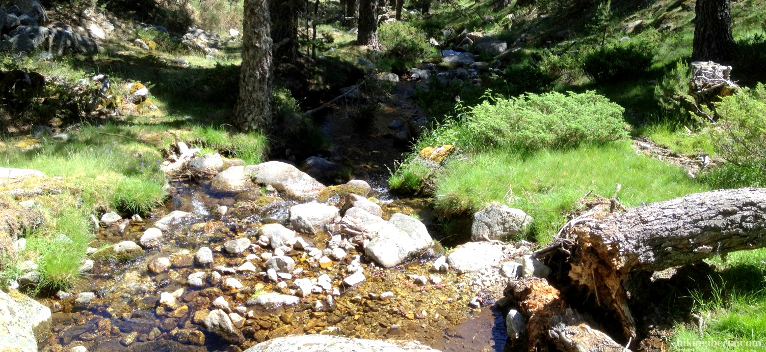
- This trail zigzags down with various bends until we get at the stream the Arroyo de las Guarramillas (5), which we cross through the small bridge. At the other side of the bridge we keep left to start a considerable climb. After the climb we take the first fork to the right (6).
- This trail ends at the Arroyo las Cerradillas, which we cross via a small bridge (7). Next we ignore a junction to the left and at the following junction we turn right (8). A bit further on at a Y-junction we keep right (9).
- Next we cross three small bridges. After the third bridge we keep left onto the wider trail (10) and next at a Y-junction (11) we turn left, further downhill. At two junctions just behind each other we keep straight on and next we turn left; so here do not cross the bridge over the Angostura (12). From here on we follow again the marking of the R.V.1.
- Next at a Y-junction (13) we turn left further downhill. After two bridges we get at a road on which we turn left, uphill. Ignore a trail on the left that goes downhill (14) and next ignore the path with the signpost R.P.6 (15).
- Next at a Y-junction on an open area we ignore the marking R.V.1 to the left and turn rights instead (16). At the next Y-junction keep left (17).
- We now walk parallel to the Angostura through a trail that is not always clearly visible. A bit further on the trail divides into various paths, here we need to be cautious to not walk downhill, but walk uphill past the rocks. Over these rocks we do go down towards the stream. The path sometimes runs on the left side and sometimes on the right side of the water. But if we stay close the water, we will keep track.
- Further on the path improves again and we get again at the bridge of the beginning of the hike (5). But now we keep straight on, parallel to the stream on the right side of it. Further on we keep right, walking away from the stream (18) and we walk through the open field in the direction NW until we end at a road (19). Here we turn right and walk over the same road as on the way out back to the car park.