NL
NL  IT
IT  DE
DE  ES
ES  EN
EN 
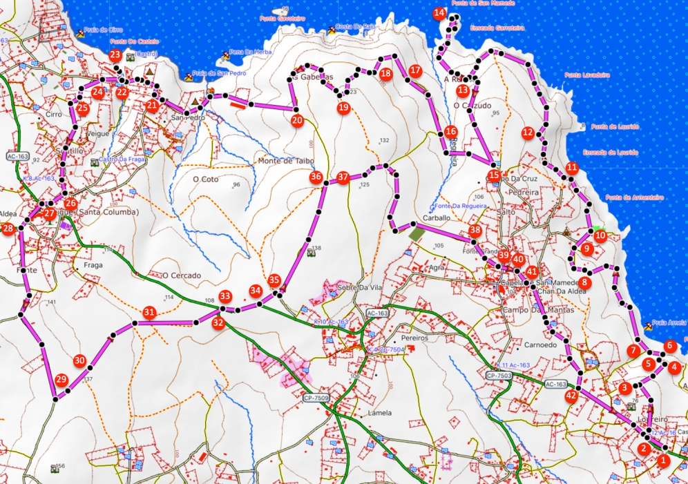
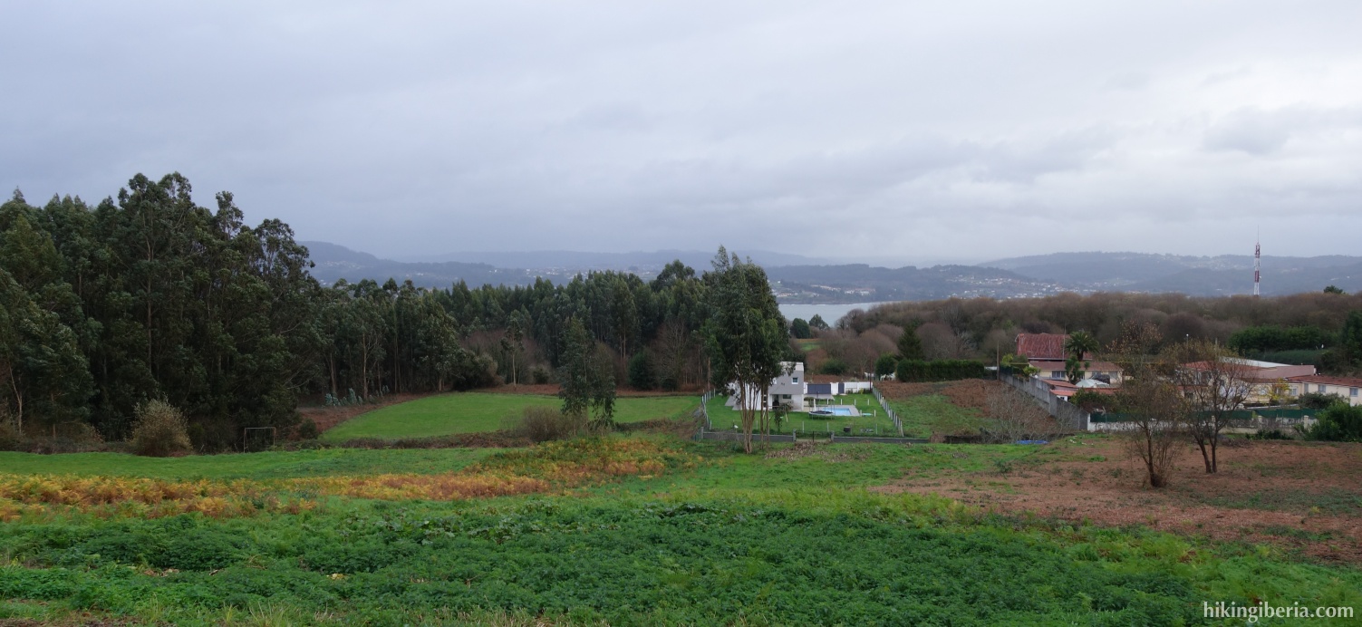
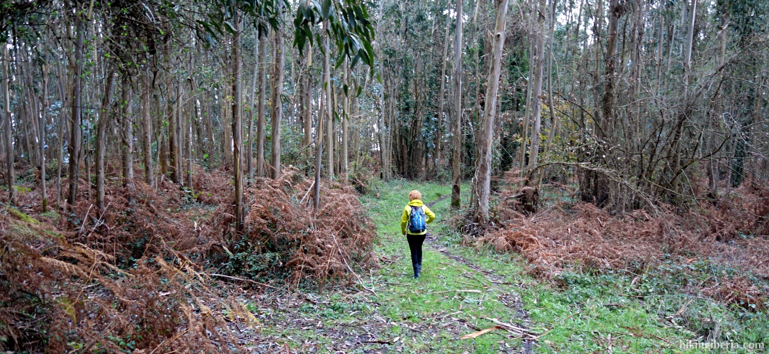
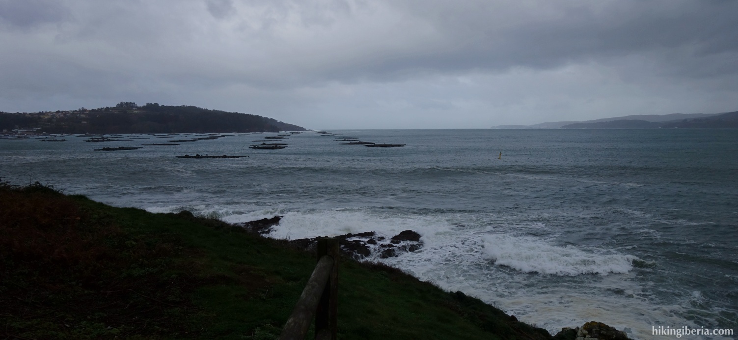
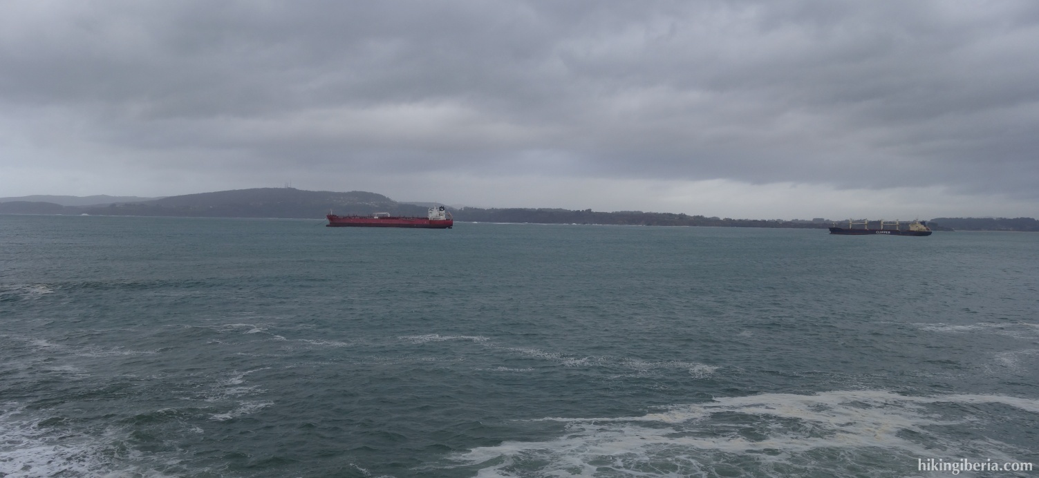
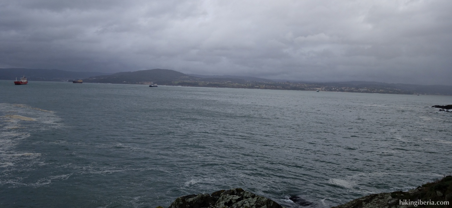
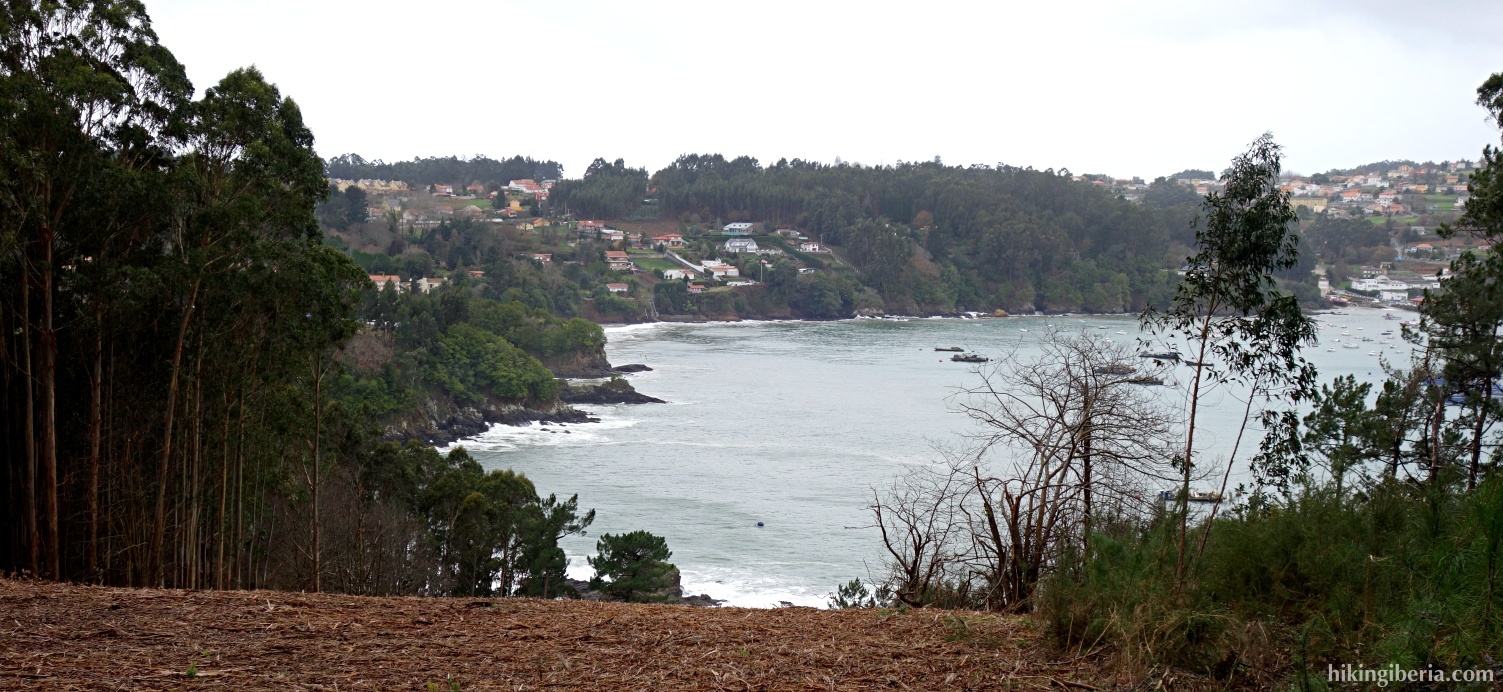
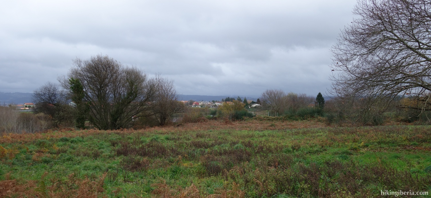
This hike runs through the surroundings of Sada, a village in the province of A Coruña in Galicia. In the first half of the hike we walk near the coast and have beautiful views over the Ria de Betanzos and the Ria de Ares, especially from Punta de San Mamede and Punta Do Castelo. The way back is done through the interior with forests and green fields, farther from the coast.
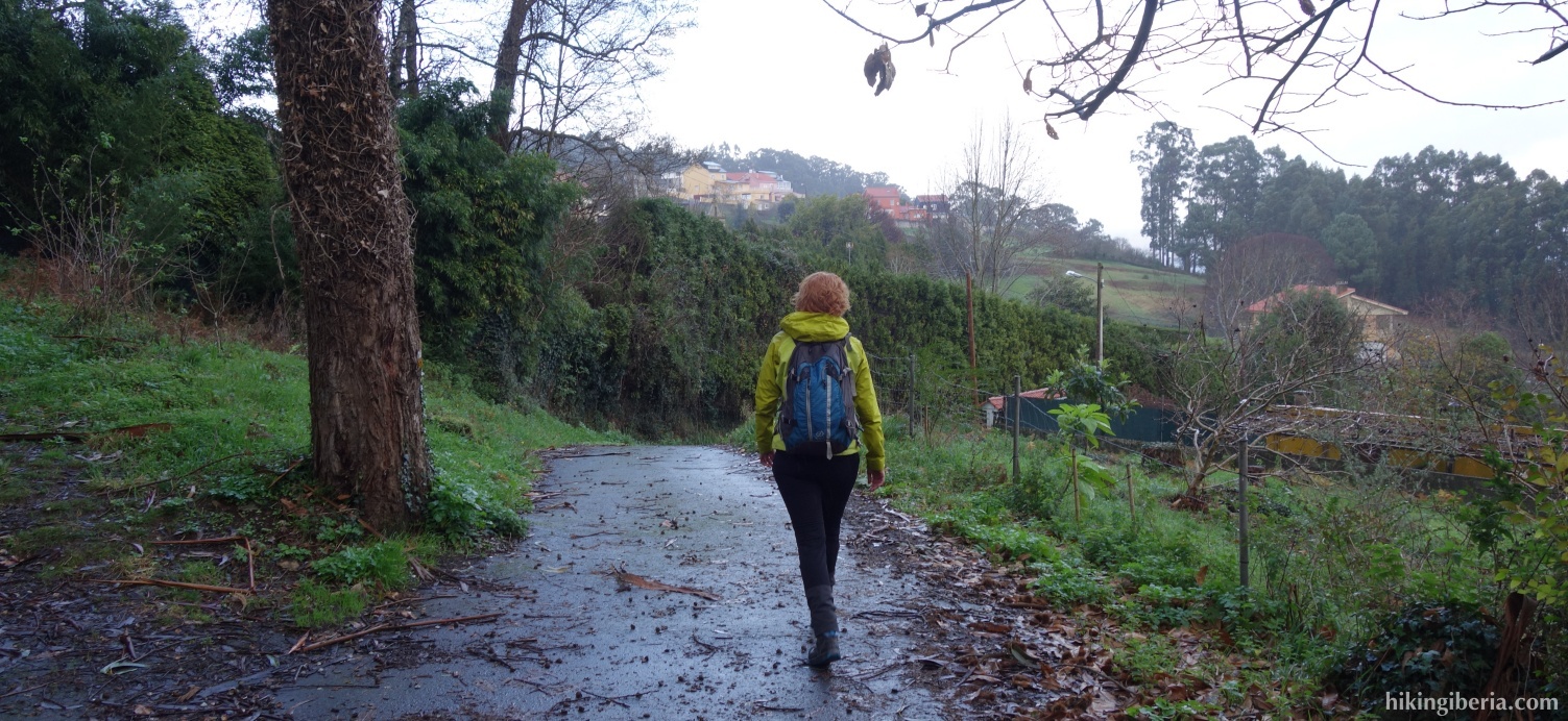

- From where we leave the car (1) we walk back in the direction from where we arrived for about 120 meters. We turn right next to a pink house with number 81/94 (2) into a street that quickly turns into a dirt road.
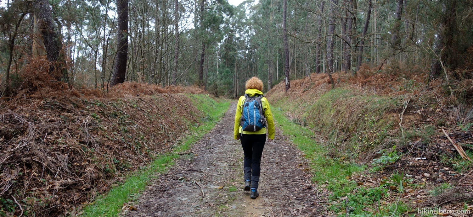
- In about 10 minutes we arrive at an open field (3). Here we have to look for a path that starts on the right side between the trees. In about 5 minutes we come out on a fairly wide path and go left. Quickly we see a post with a white-yellow cross (5) where we turn right, descending a bit and then in the curve we turn left (6). We ignore a small trail to the right and follow the white-yellow marks.
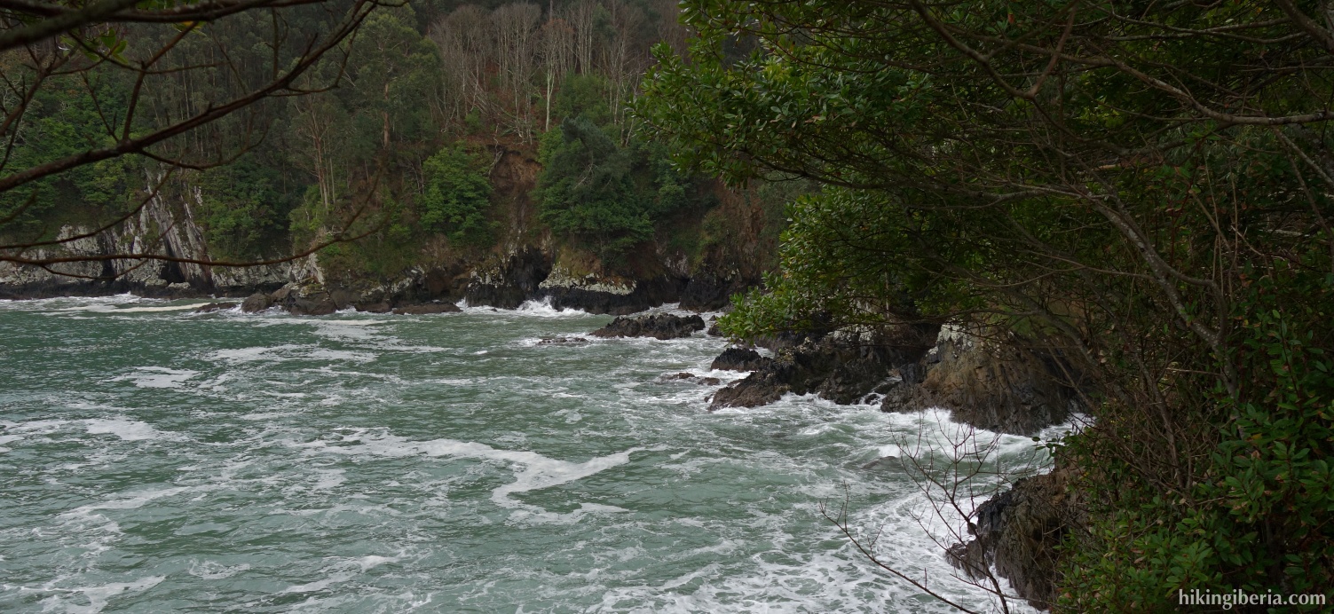
- From this trail we see the Ría, we pass a picnic table and a little further on (7) we ignore a trail to the left. We follow the white-yellow markings, ascend a bit, and in about 15 minutes we come out in a street (8) where we turn right following the markings. In about 5 minutes we arrive at the village on a paved street (9) where we continue to the right, ignoring the white-yellow marks.
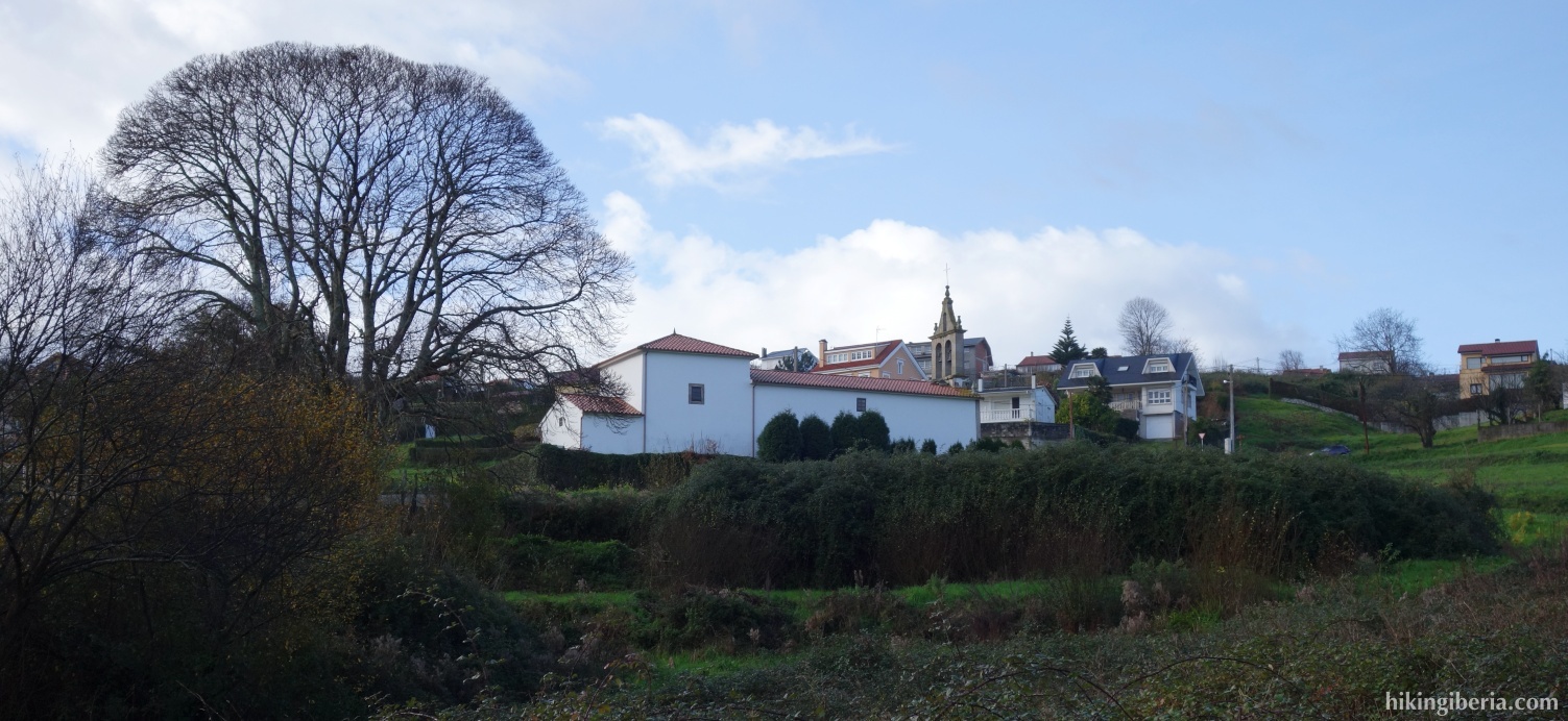
- A little further near the cemetery (10) we turn left on a path through the field. In about 5-10 minutes we come out on another path where we turn right, where we see again the white-yellow marks. A little further on we ignore the path to the beach, and follow the marks. In about 10 minutes we come out on a dirt road (12) and turn right, ignoring the white-yellow markings.
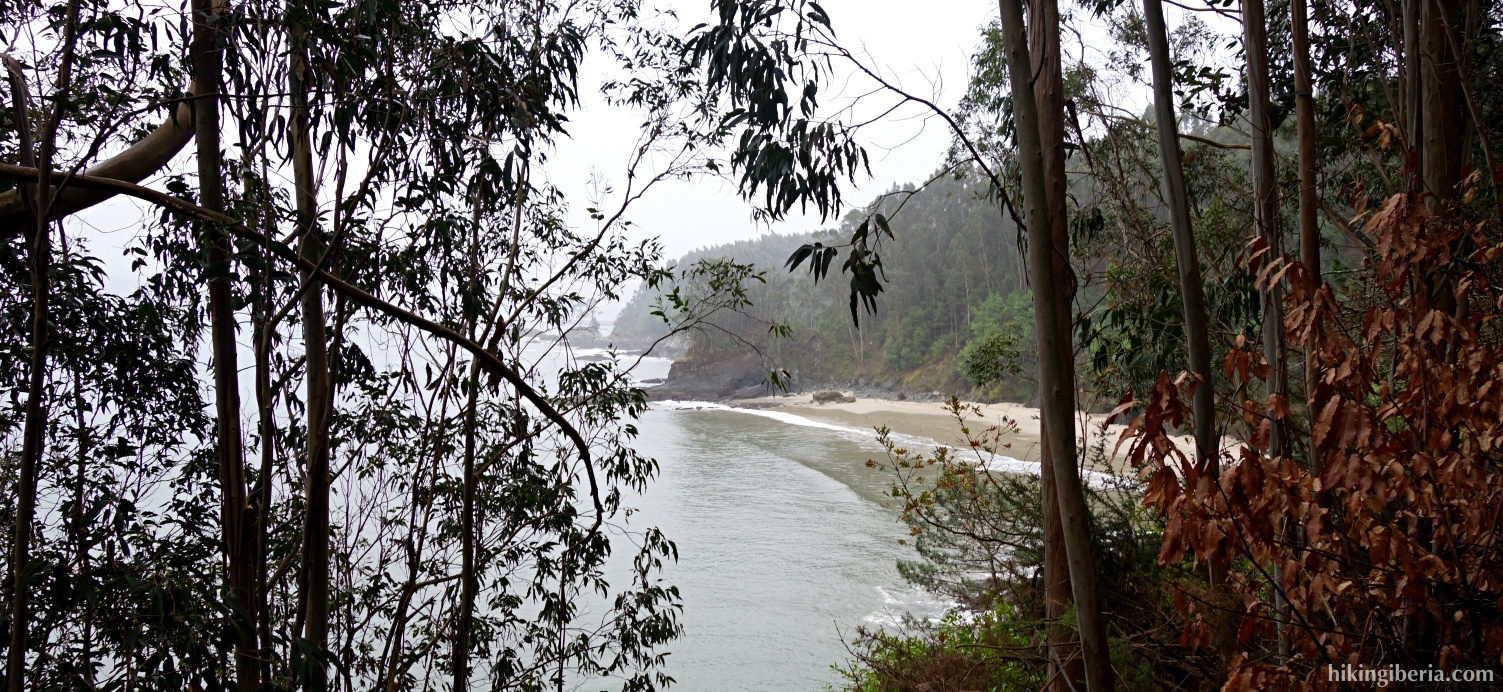
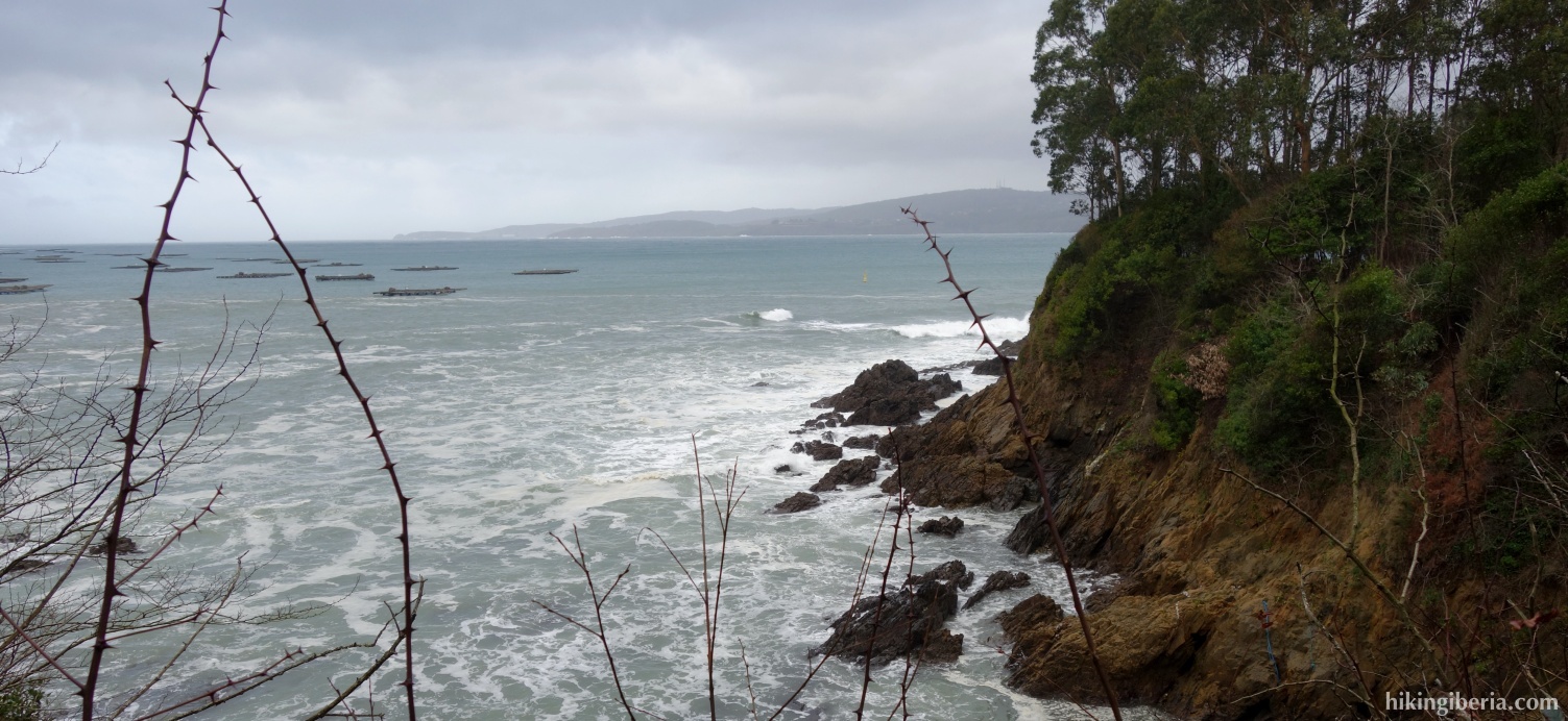
- In about 20 minutes we come out on a dirt road (13), turn right and then directly at the fork we continue to the right in the direction of the signpost "Punta de San Mamede". In less than 10 minutes we reach the Punta (14), which is a privileged viewpoint of the Ria de Betanzos and Ría de Ares. We return via the same path and then at the fork (13) turn right.
- In about 10 more minutes we reach a fork (15), just before we reach the village, and we turn right towards PRG-96 Playa de San Pedro. Here we see again white-yellow markings. In about 5-10 minutes we go right at the fork (16) and thus leave the PRG-96. About 5 minutes later we ignore a trail to the right (17). In about 5 minutes further we come out on another path (18) and turn right.
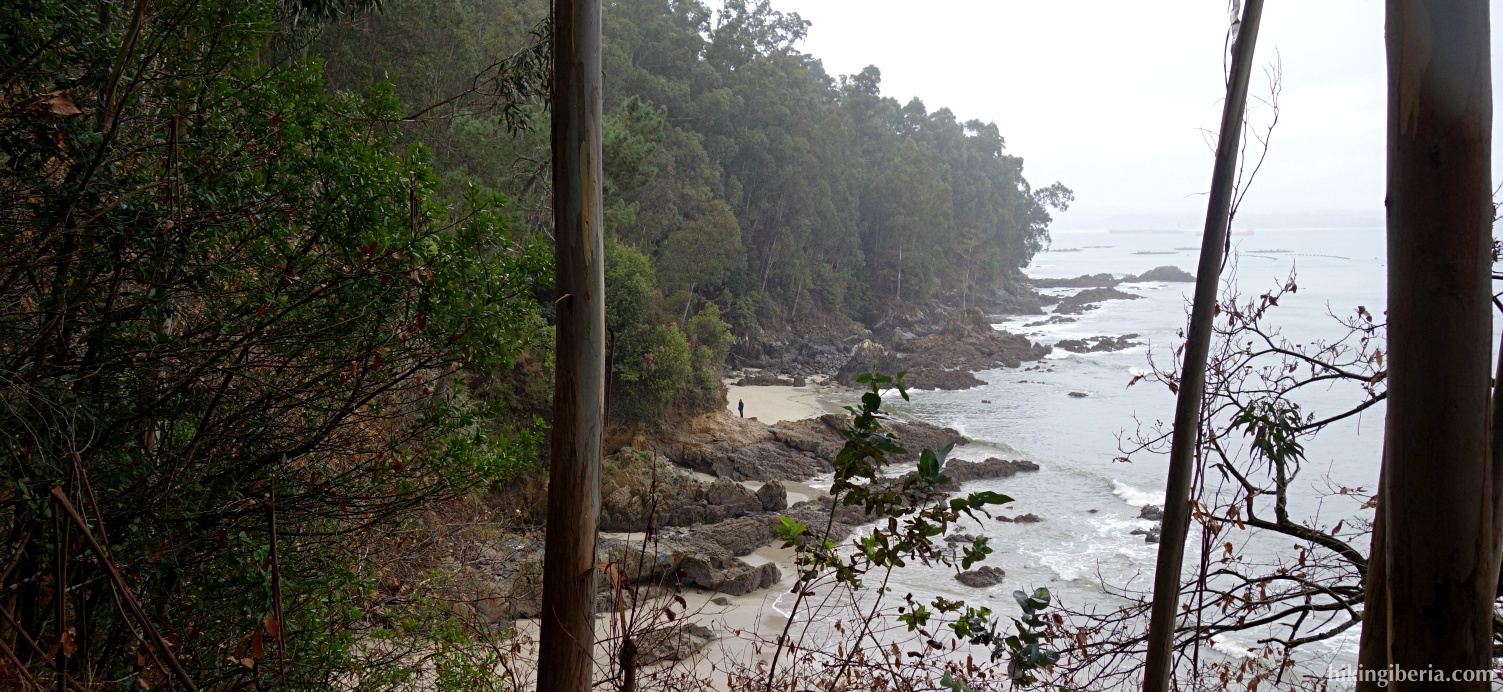
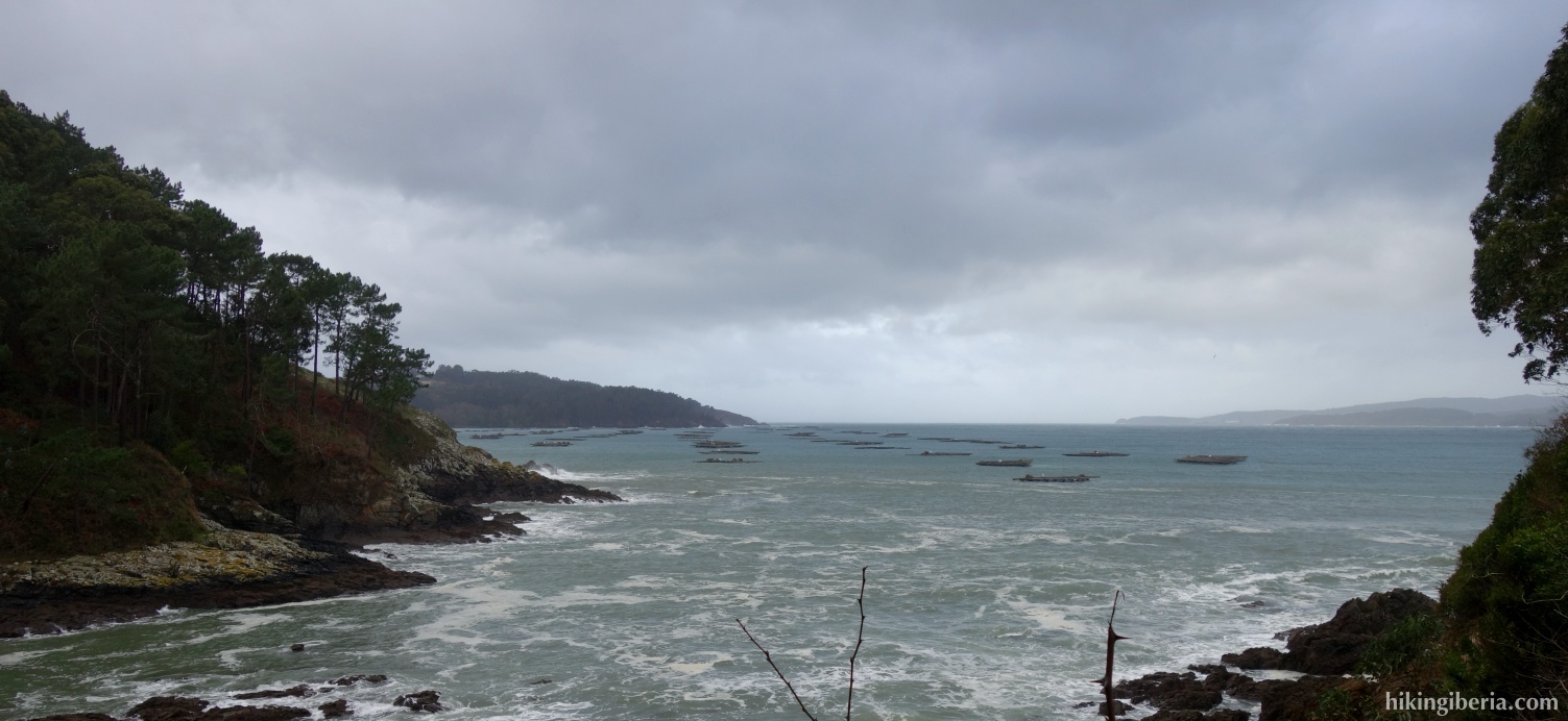
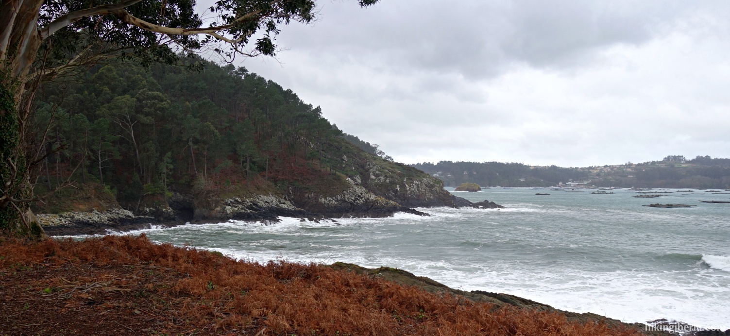
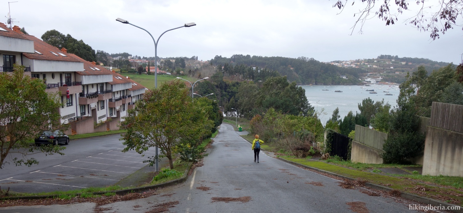
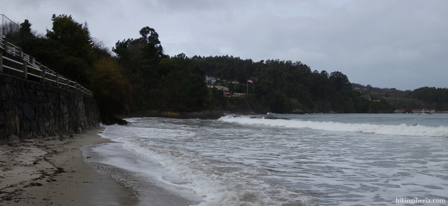
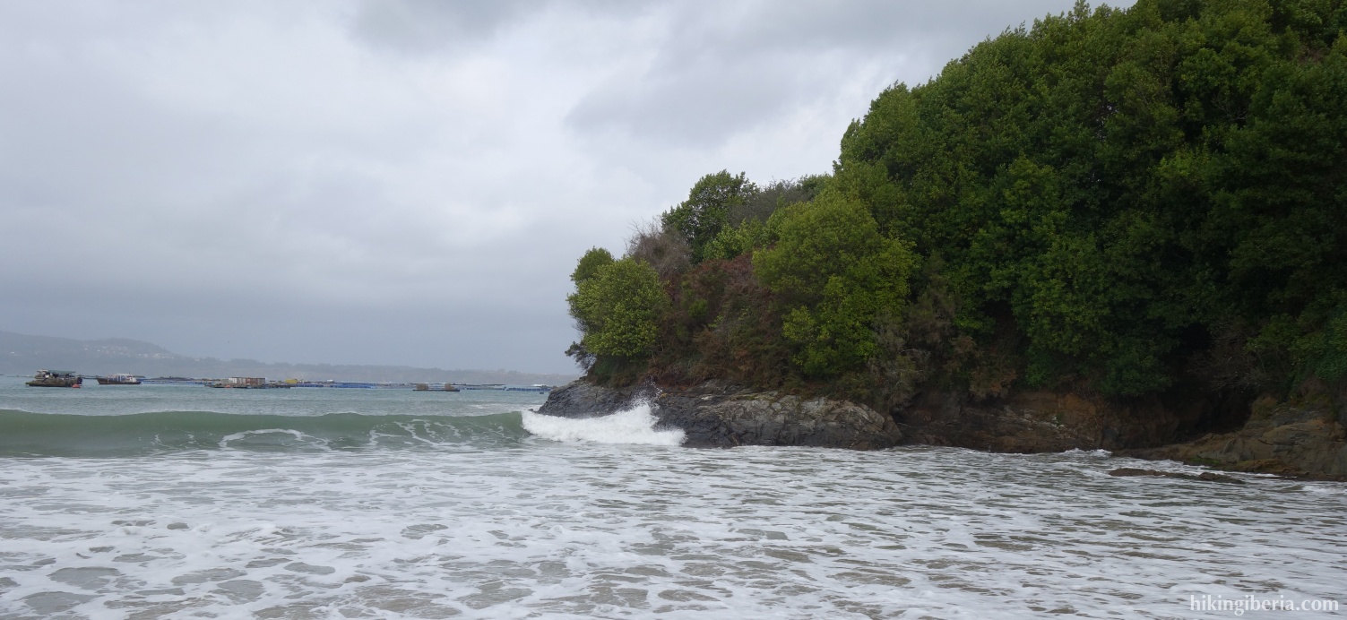
- About 5 minutes later we come out on another path (19) where we turn right. In about 10 minutes we reach a paved street (20) and turn right, descending. We pass through the village, follow the white-yellow markings, pass a campsite and we come out on another paved street (21), where we turn right, going down. It is signposted as PRG-96, Playa de Cirro. In less than 5 minutes we turn right (22), to descend to Punta do Castelo (23) where we can enjoy the beach and the views over the Ría.
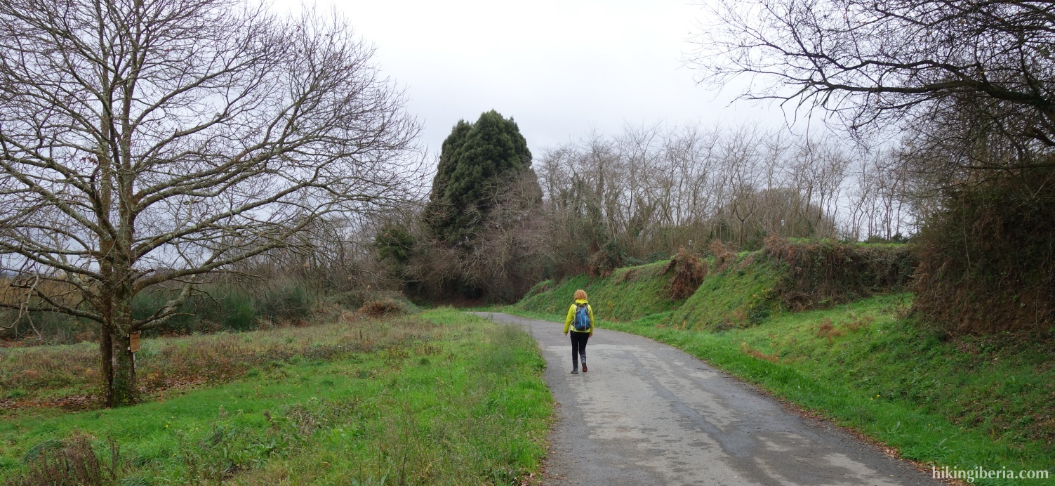
- We go up again and turn right (22) into the paved street. We ignore a narrow paved road on the left. A little further on next to a white-yellow cross (24) we turn left, going up. A bit further on (25) we ignore a paved road on the right and go straight ahead. In about 5-10 minutes we come out on another paved street (26) and turn right. A little further on (27) we come out on the asphalt road AC-163 where we turn right and then directly left towards Mera and Maianca, via the DP-5815.
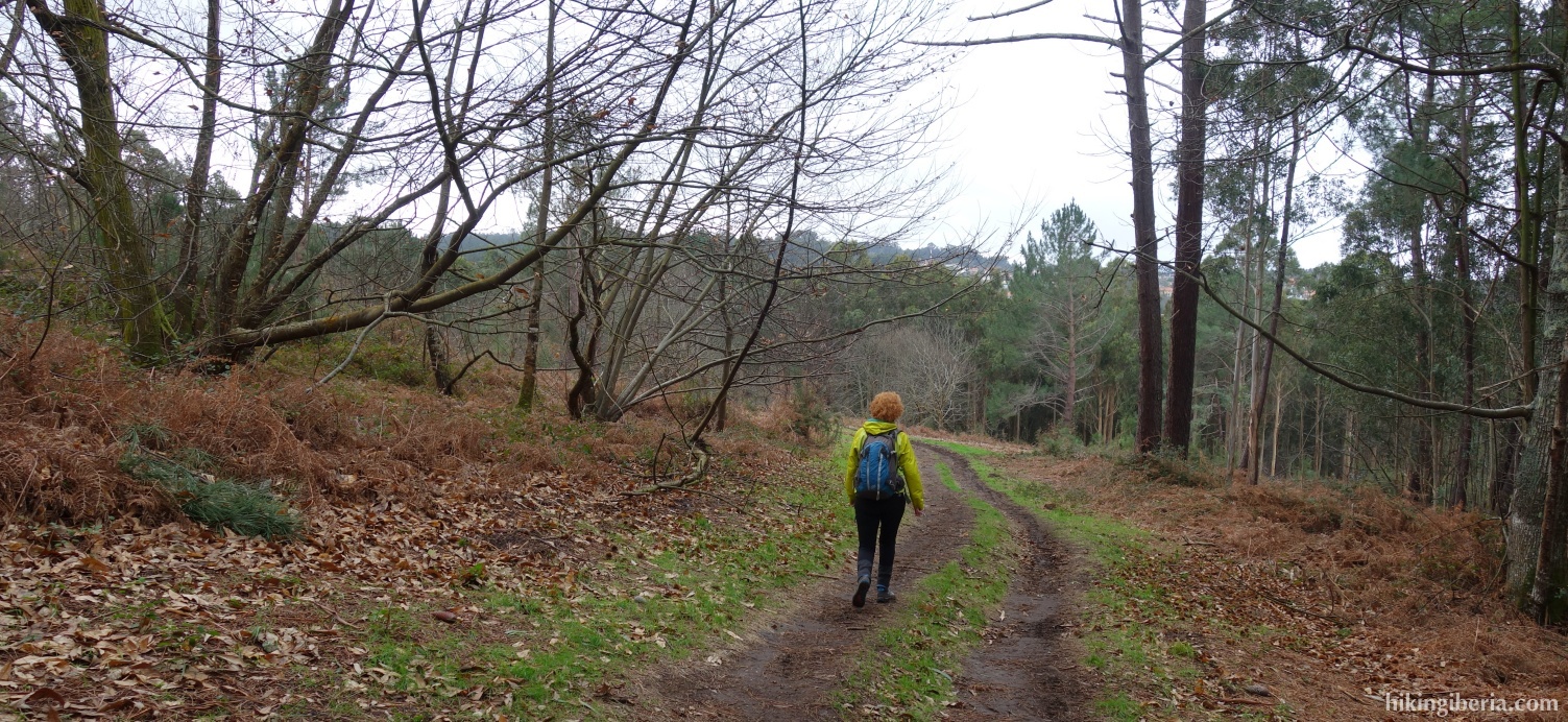
- At the next fork (28) we turn left towards Meiras/Osedo. We follow this road for about 15 minutes until we find a black mud track on the left (29), which we enter. A little further on at a crossroads (30) we continue straight on, via the wide path. In about 10 minutes we reach another crossroads (31) and continue straight ahead. We ignore a few crossroads and in about 5 minutes we reach a paved road (32) where we turn left. It takes us back to the AC-163 (33) where we turn right.
- In a few minutes in a curve (34) we enter a path on the left, marked as R6/PRG-96 towards Sada. Within nothing we come out on a path (35) where we turn right and then left, following the sign of the R6. In about 10 minutes at the fork (36) we turn right. In no time we arrive at a paved street (37) where we continue straight ahead. Then we ignore two paths on the left.
- We arrive at the village (38) and turn right. A little further on at a crossroads (39) we continue straight ahead. A little further on we come out on a street (40) where we turn right. A little further on we come out in another street (41) where we turn left, going down. We go straight on, further downhill. So we get to the AC-163 (42) where we turn left, back to where we parked the car (1).