NL
NL  IT
IT  DE
DE  ES
ES  EN
EN 
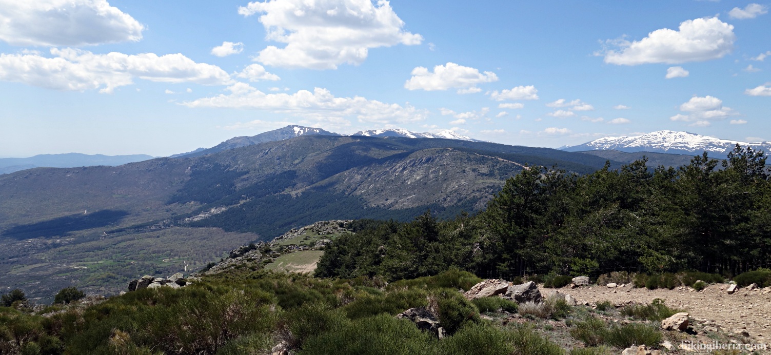
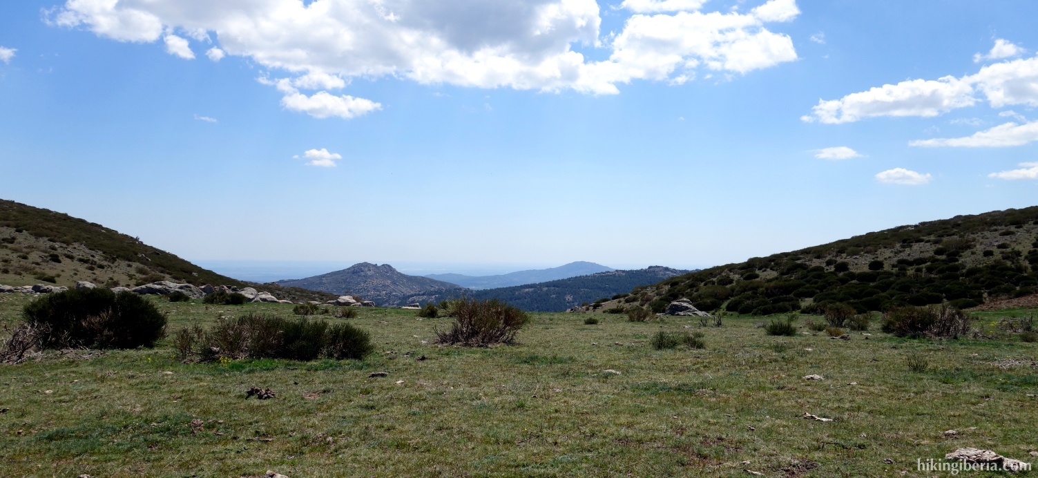
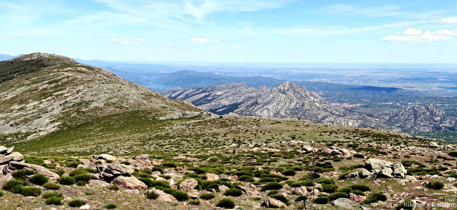
During this hike we ascend the Mondalindo, a peak of 1,831 metres near the town of Bustarviejo in the Sierra Norte de Madrid, one of the better known and popular peaks of the southern part of the Sierra Norte. Usually the Mondalindo is ascended from Bustarviejo, but on this route we depart from the Puerto de Canencia and walk via the beautiful plateau of the Sierra Norte of Bustarviejo to Mondalindo.


- If we parked along the road (1) we walk a bit further along the road to the parking lot at the recreation park (2) which we enter. We walk to its end where we walk past a gate with a cattle grid (3), onto a wide trail.
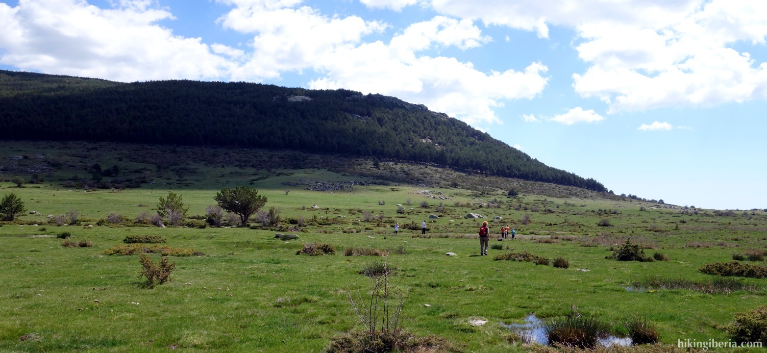
- We follow this trail for a while. Further on the trail turns slightly to the right and then with a bend to the left (4). Here we leave the trail onto the open field, which we cross in the direction southeast. At the other side of the field, at the border of a forest (5), we cross a small brick wall and start to climb the hill. Here there is not really a clear trail, but we do see various milestones that we follow.
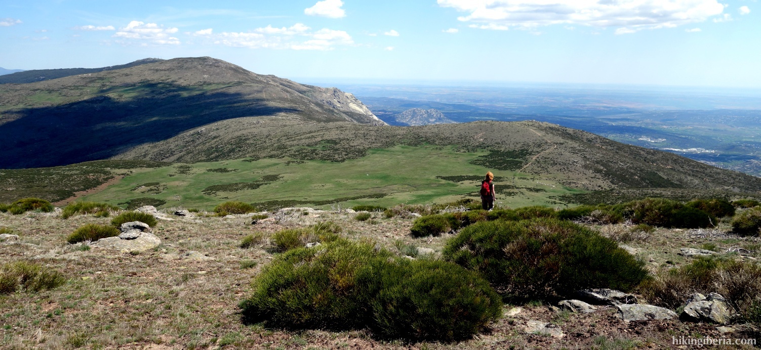
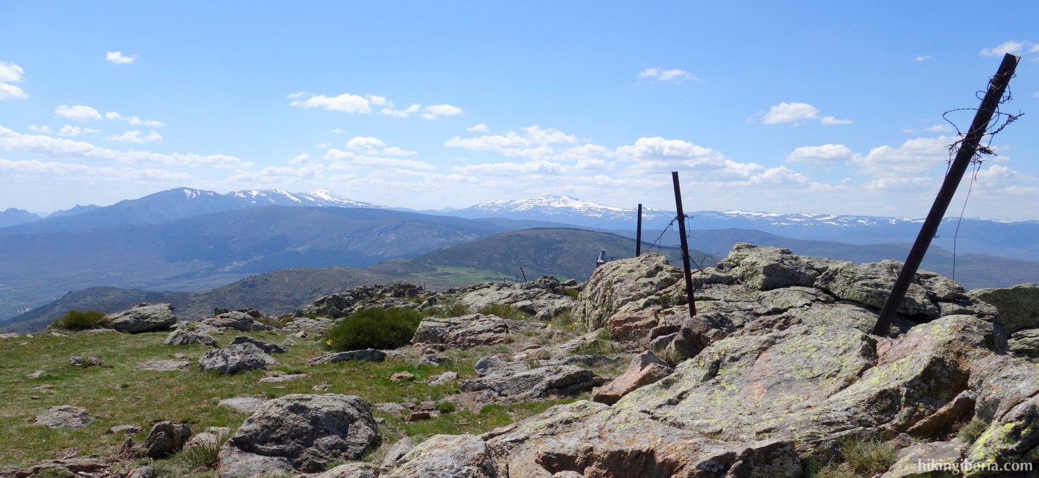
- After some time of ascending we see a fence (6) at our right hand, which we have to go over/past, behind which we continue our route to the left via a wide path. A bit further on we leave the path for a short while to go left to the Cabeza de la Braña, at 1,772 metres, which can be recognized by an antenna (7). To get here, again go over/past the fence.
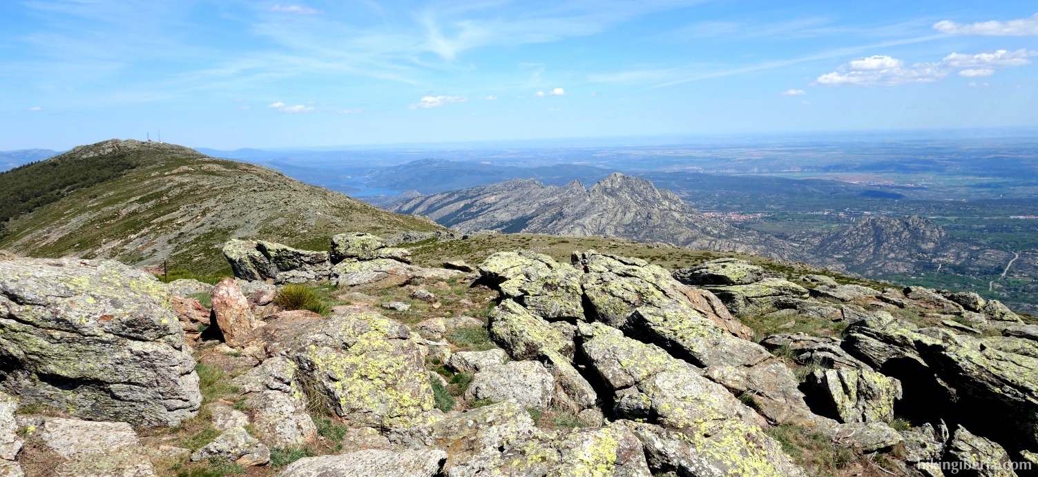
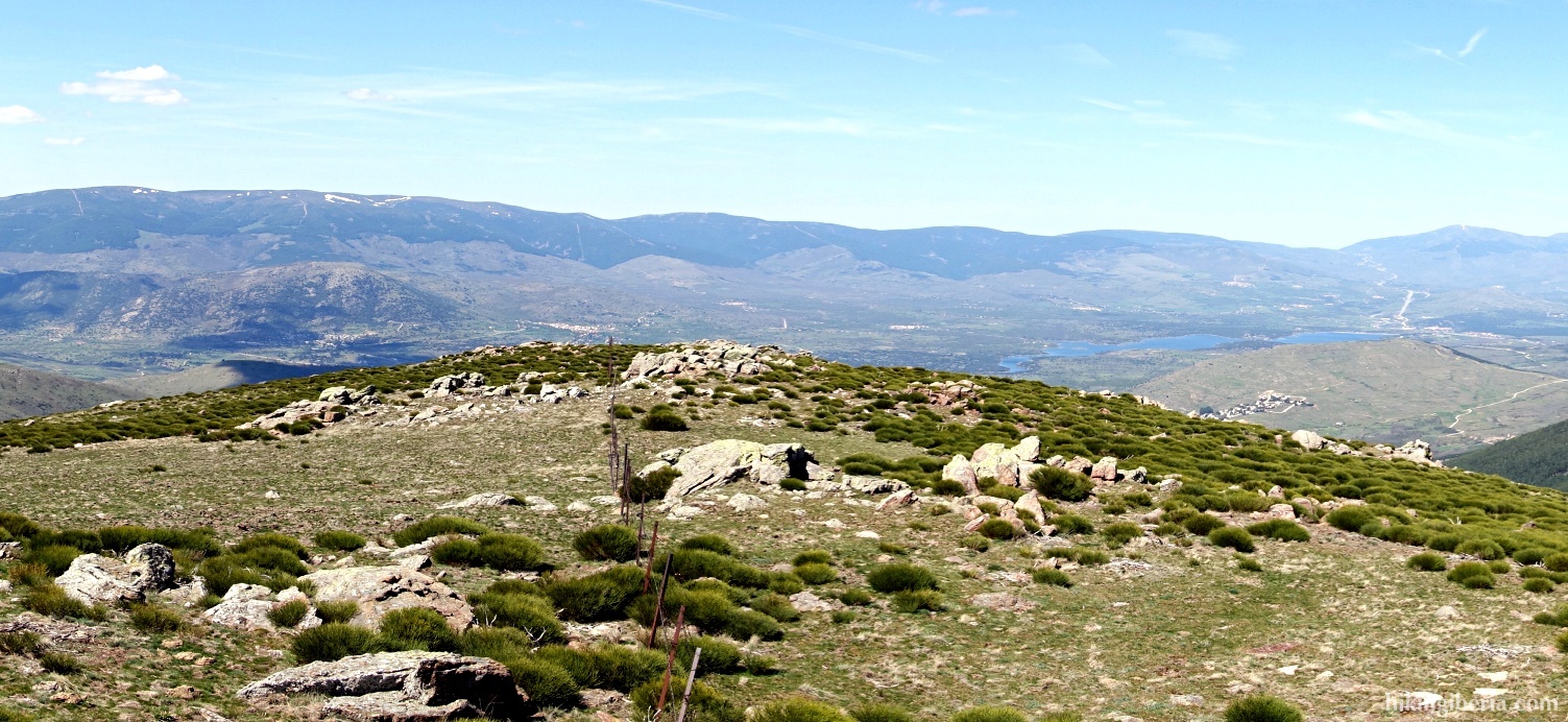
- After the Cabeza de la Braña we return to the wide path, which we keep following all the time to the Mondalindo. Further on the trails narrows and we ignore various side trails. After the Mondalindo (8) we return and almost inmediately we turn right through/over the fence through the open field, descending towards the west.
- This way we descend towards the stream Arroyo del Ortigal (9) - the last stretch somwhat narrower - and we cross the stream. From here we start to ascend again and further on the navigation becomes more complicated. Further on (10) keep left to the south and further follow the slightly overgrown trail further uphill.
- When we further on reach a somewhat opener zone (11) we no longer follow the wider trail to the left but instead keep right and make sure that we keep the antenna of the Cabeza de la Braña at our left hand. Further on we cross the stream Arroyo de Matallana (12). Now keep the direction northwest (somewhat to the right) by still maintaining the antenna of the Cabeza de la Braña at your left hand.
- This way we reach the next stream (13), which is a branch of the Arroyo de Matallana. We cross the stream and follow the trail on the other side, which is easy to find. Ths trail takes us to to a wide trail (14) where we turn left, further uphill.
- This trail further on continues as a wide path through the forest. At the firebreak (15) we go straight on and further on at the Y-junction (16) we keep right. Further on we ignore a path on the left (17) and eventually reach another path (18) where we turn left/straight on, which returns us to the recreational park and brings us back to the car.