NL
NL  IT
IT  DE
DE  ES
ES  EN
EN 
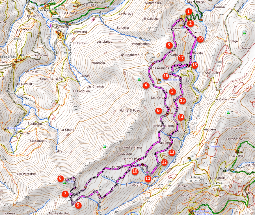
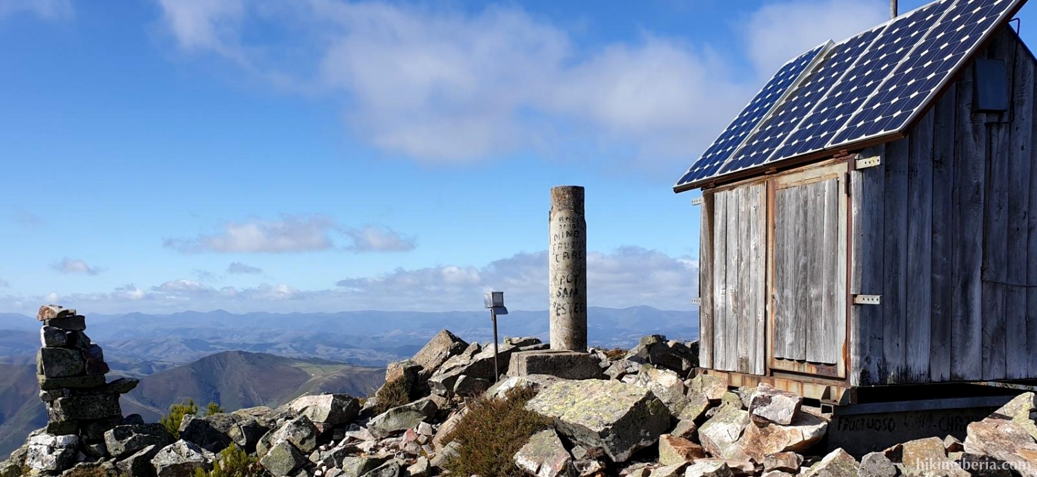
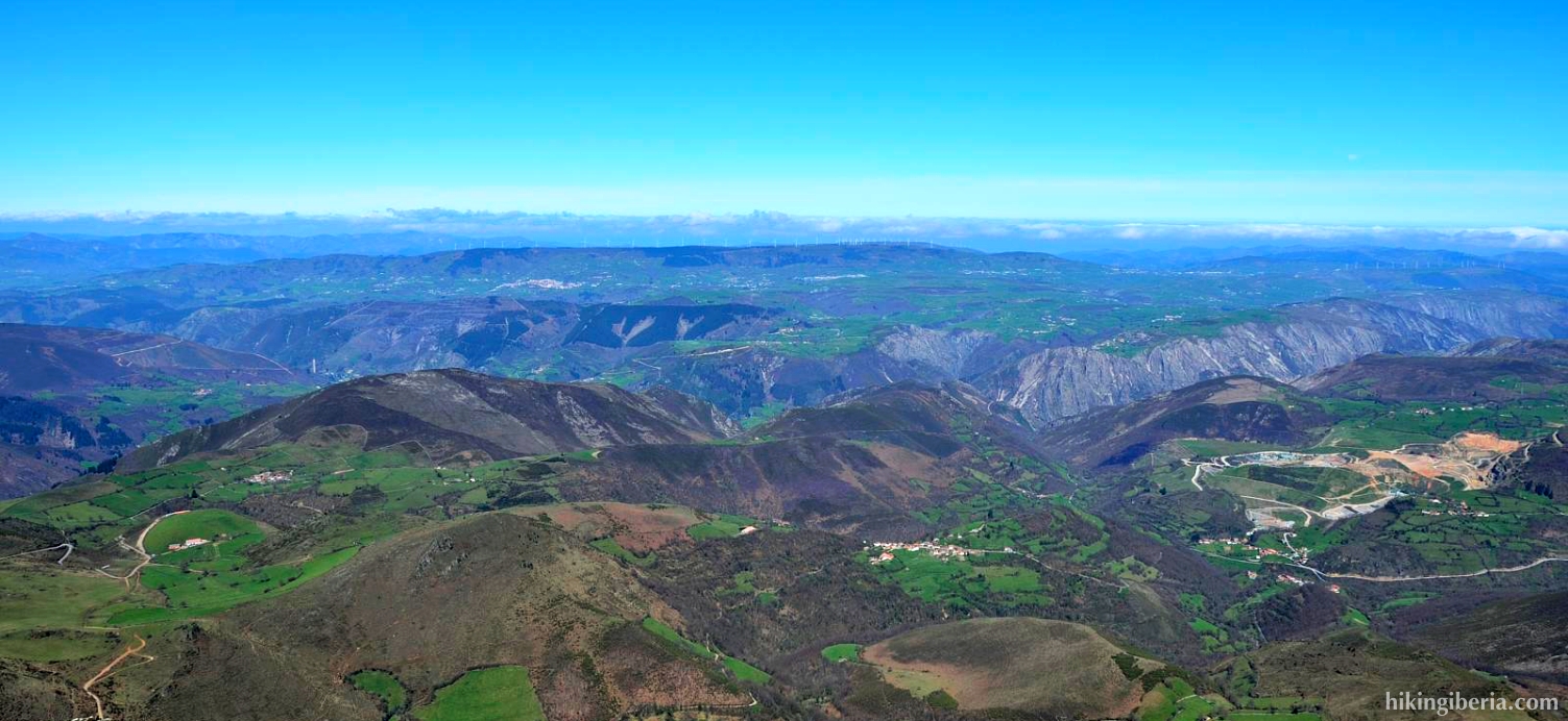
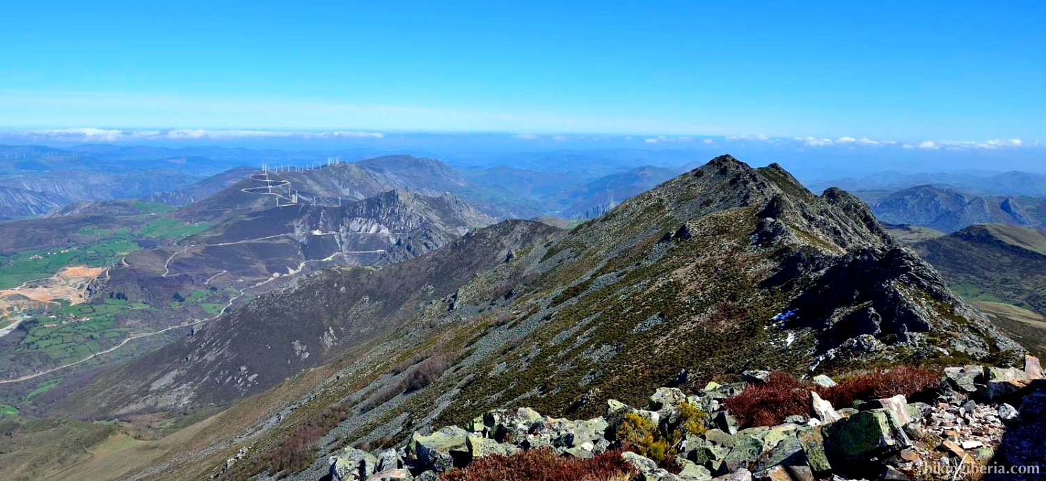
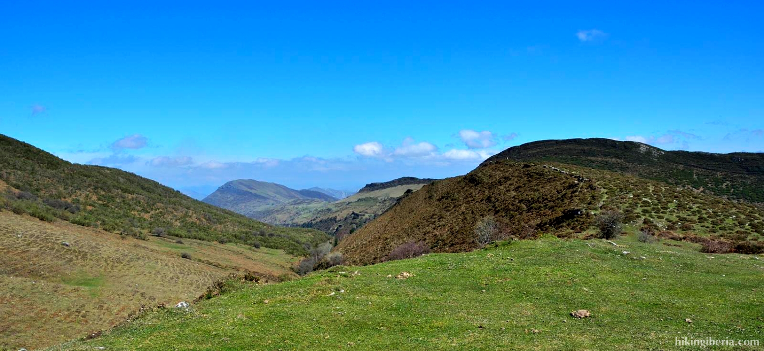
This hike takes us to the Peña Manteca, the highest point in the Sierra Manteca, a beautiful green mountain range where we see many ruins of traditional peasant life. From the peak we have views of both the nearby Parque Natural de Somiedo, as well as the Cantabrian Sea. The route is quite overgrown on various spots, which makes both the orientation and the walking itself considerably more difficult.
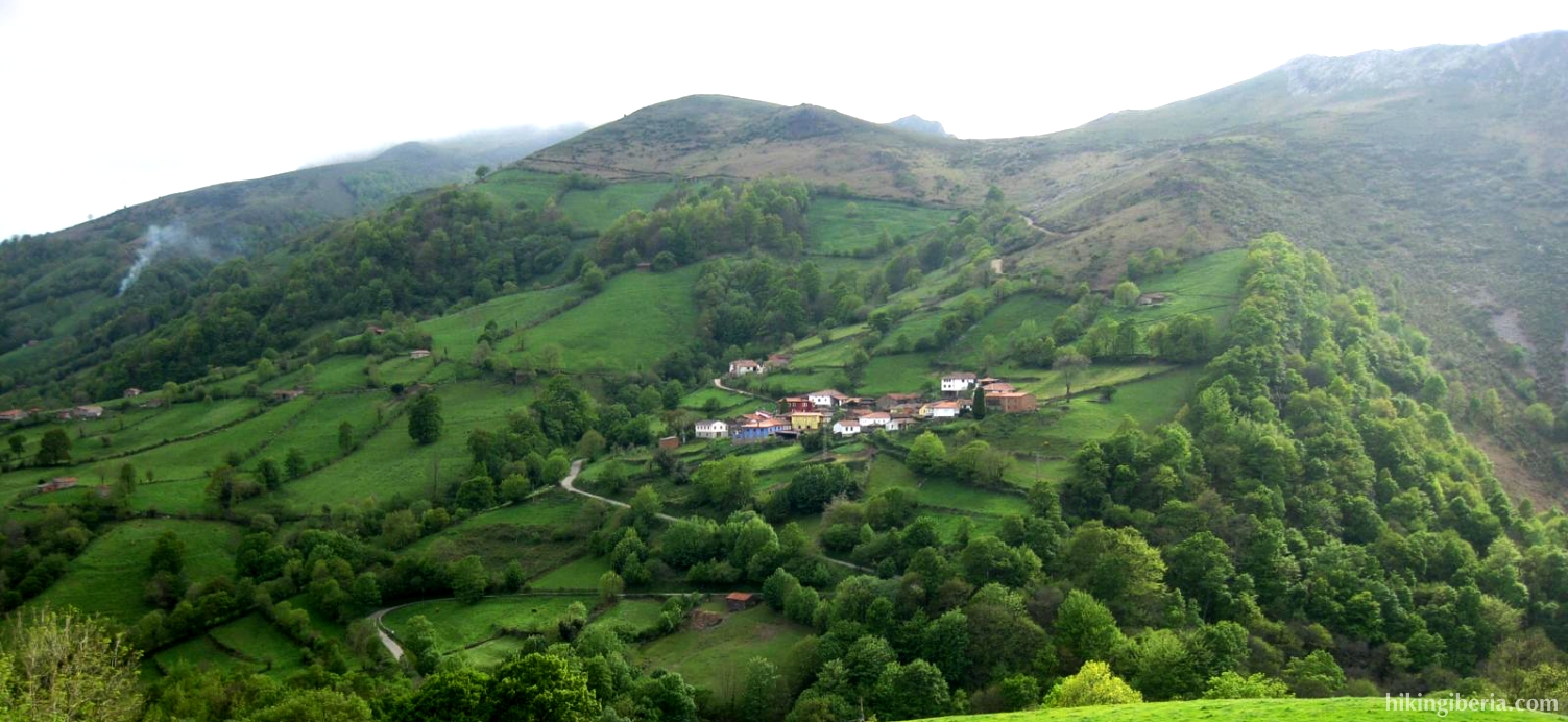
- We leave Balbona (1) and go up a narrow paved road. At the first junction we turn right (2) onto a paved road for a firm ascent. This road quickly turns into a dirt road.
- Just above 900 metres we arrive at a Y-junction (3) where we turn right.
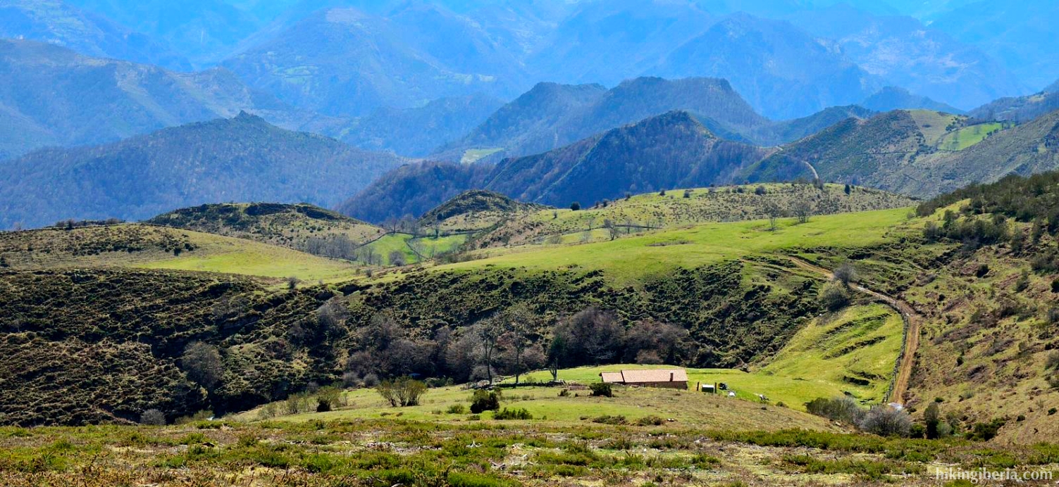
- At about 1,050 metres the path seems to split into a Y (4) and we keep left. We further follow this path and reach a barbed wire near a number of peasant huts.
- We walk through a number of trails and tracks made by the cows right up the slope and ultimately arrive at a wide path, where we turn left (6).
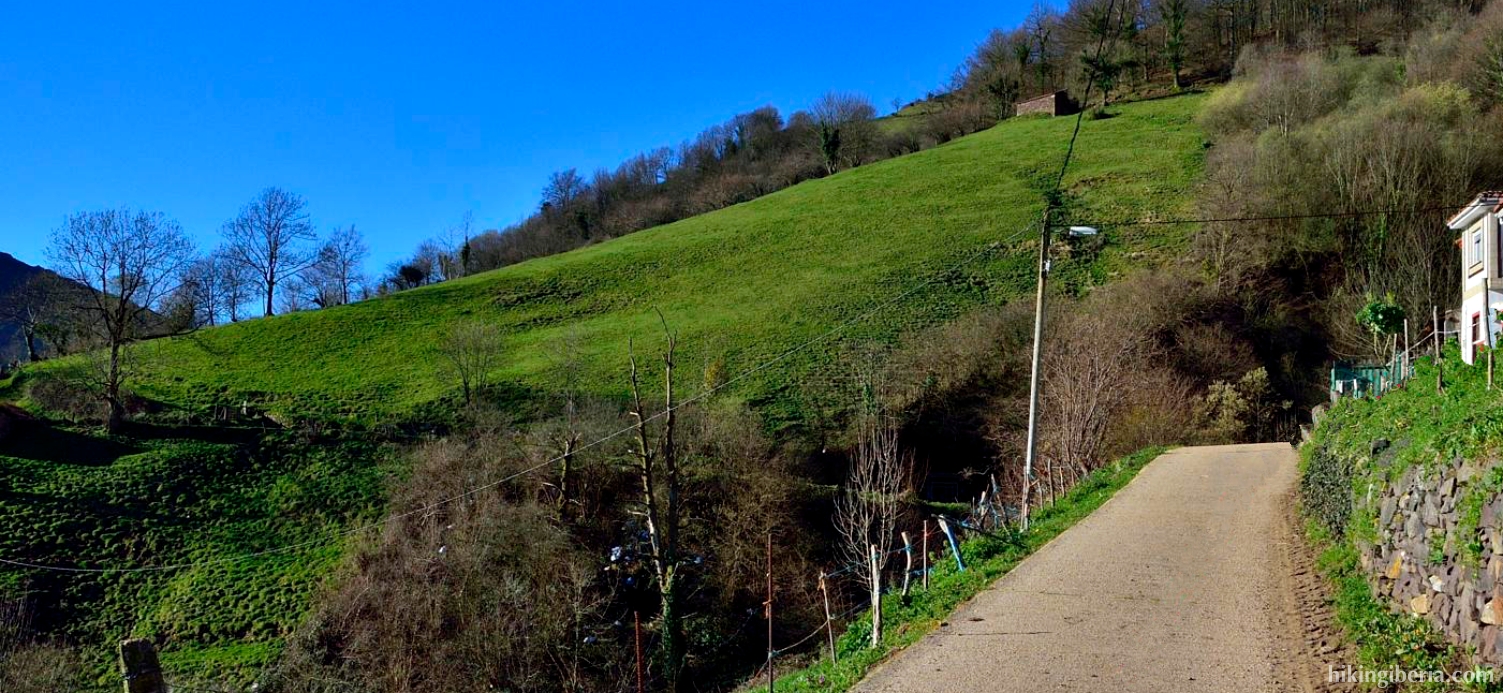
- We walk across an open field with at our right hand all the time a rocky ridge. Sometimes there is a clear path, sometimes not. We simply walk straight ahead and keep the ridge to our right.
- We keep following this direction and see more and more clearly the Peña Manteca lie at the end of the ridge, with a small building on it. The last stretch is pretty overgrown and there are various tracks that we can follow.
- More or less below the top we turn right to go up the slope. Here it is quite overgrown and we have to constantly look out for the path.
- From the Peña Manteca (8) we first follow the same path back down. Once at the bottom of this mountain we turn left and we keep slightly more to the right than on the way out (9).
- We walk much lower than on the way out and when we walk at about 1,150 metres of altitude to our right we see, on the other side of the valley, a narrow road and several brick walls on the slope. At this moment we keep right and walk over the ridge to the east (10).
- After a short descent, do not keep too much to the right, but follow the tracks more or less straight on. This is a not very comfortable descent that finally brings us to a path where we turn left (11).
- This path ascends a bit and we follow the path until it disappears into the trees (12). Turn left here and then immediately to the right. A bit further on we reach a peasant hut at a small wall, which we pass and then follow the path straight ahead.
- The path terminates onto another path, where we turn left (13). We follow this path a time until it also terminates onto another path, where we turn left again (14).
- Just before the ruins of an old barn, the path forks into a Y (15) and we keep right. After some time, the path ends onto a wider path, where we turn right (16), further downhill.
- At the time this wide path starts to ascend again, we turn right (17) onto a path that descends firmly for a while, until it ends on another path, where we turn left (18).
- This path eventually leads to an unpaved road, past the first houses of Balbona (19). Via this road we further on again enter the village, where we have our car (1).