NL
NL  IT
IT  DE
DE  ES
ES  EN
EN 
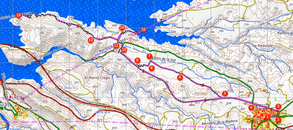
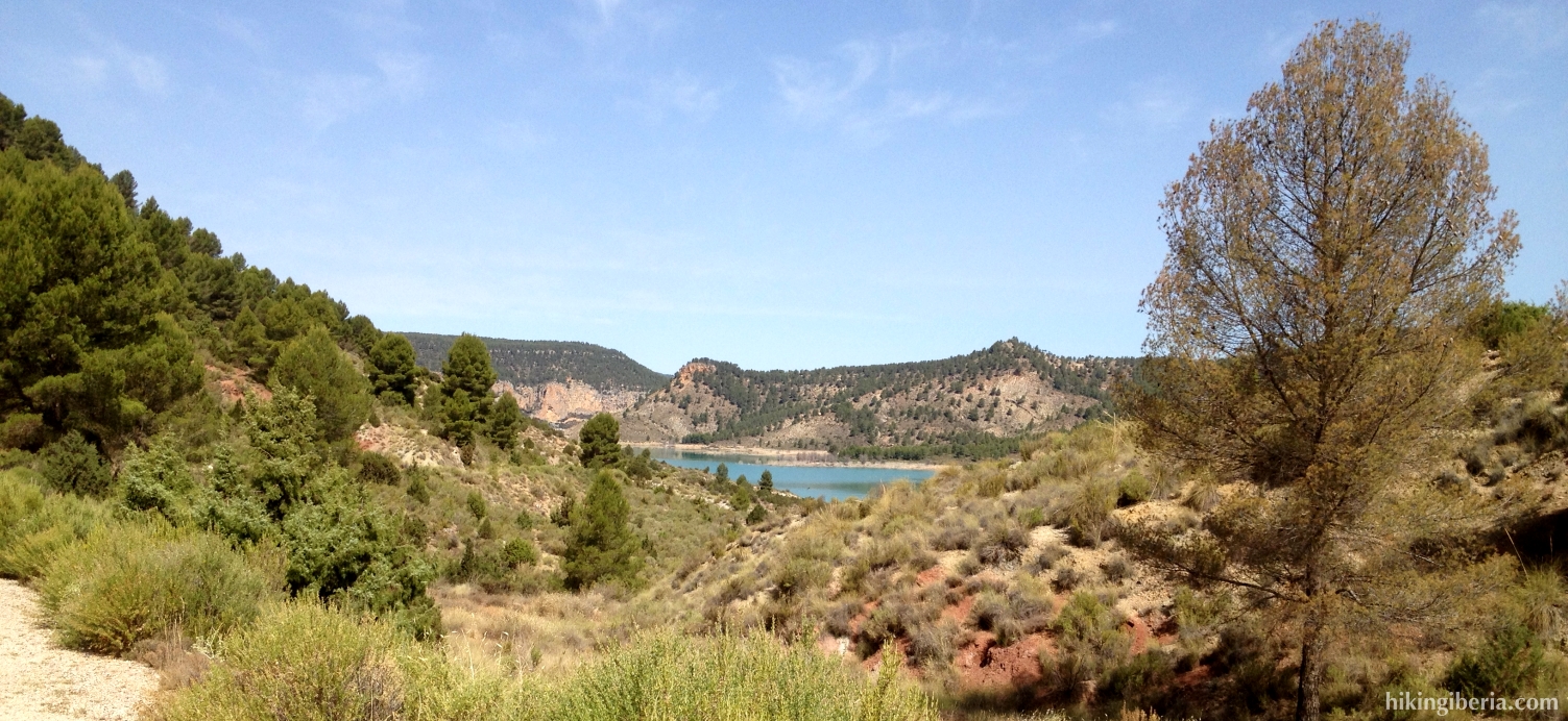
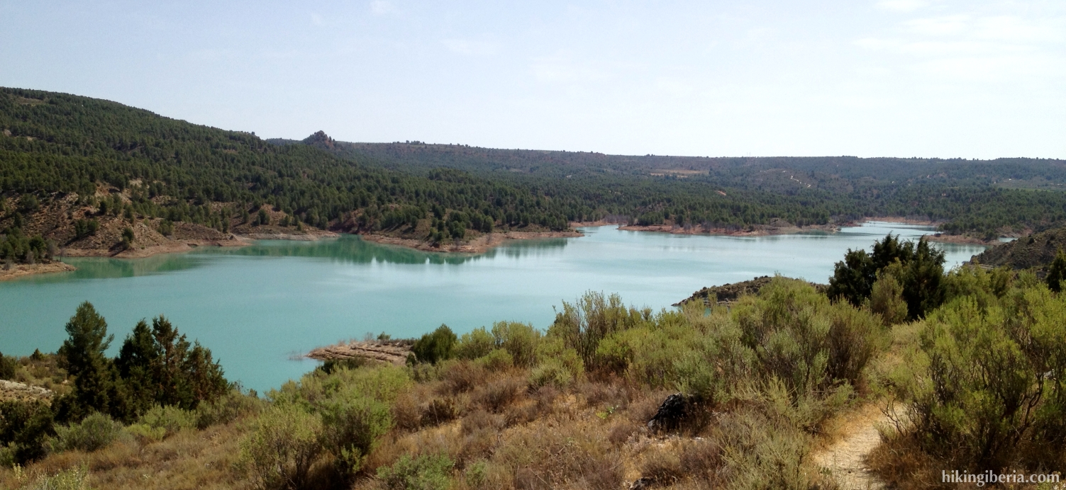
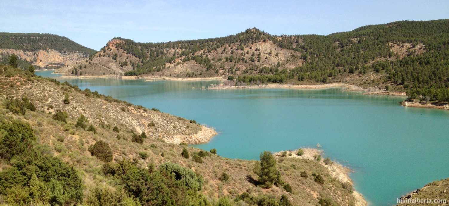
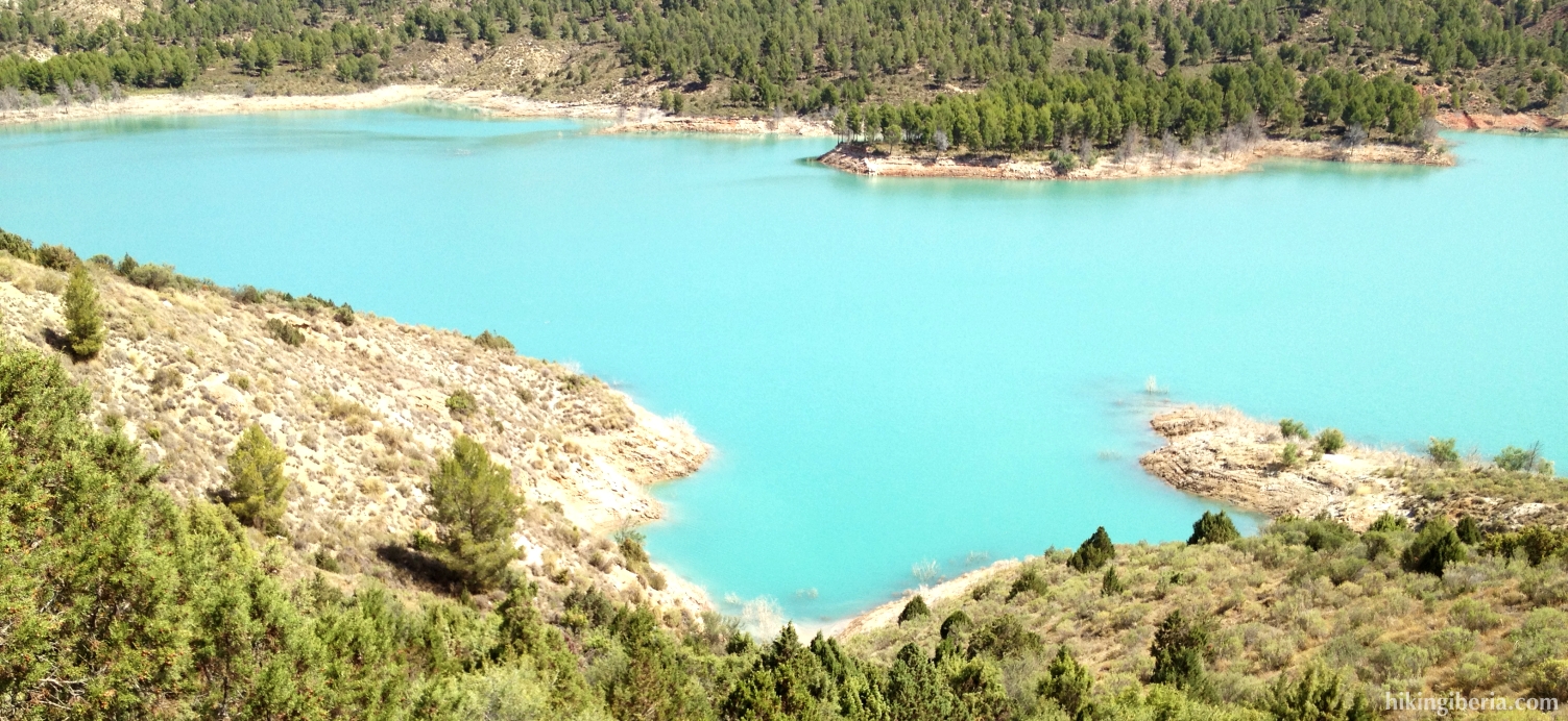
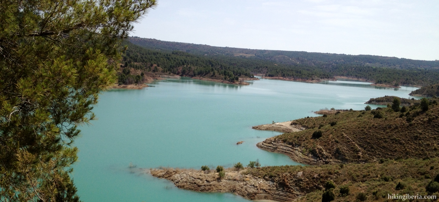
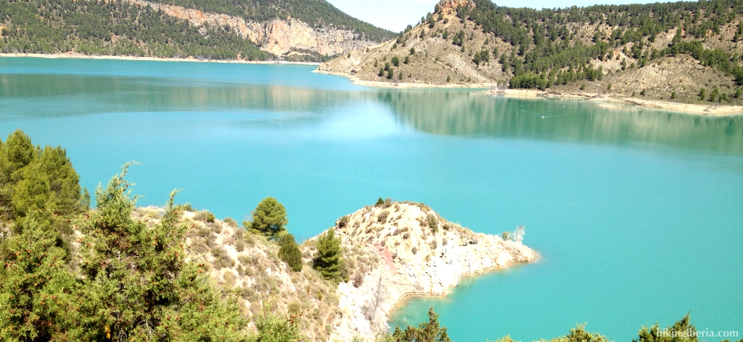
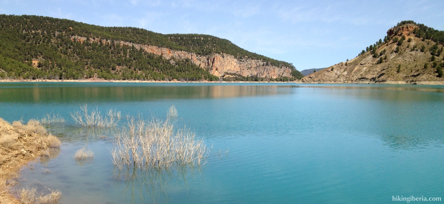
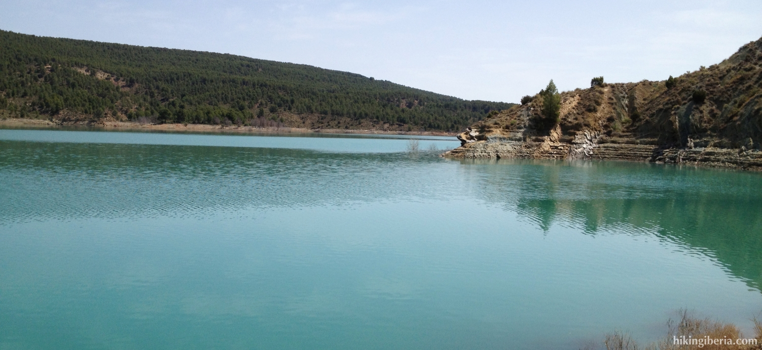
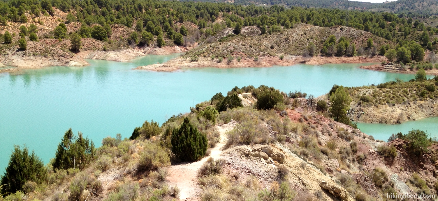
The reservoir of Contreras lies between the villages of Villargordo del Cabriel in the province of Valencia and La Pesquera, Enguídanos and Minglanilla in the province Cuenca and has been created in the confluence of the rivers Cabriel and Guadazaón, at the edge of the natural park Hoces del Cabriel. The hike starts in Villargordo del Cabriel and takes us over hills and through vineyards to a path that runs high along the reservoir and gives us a splendid view on the blue-green water.
- From the car park (1) we walk a bit further onto the Carrer de la Carretera until the first street on the left, towards the CV-474 to Fuenterrobles/ Camporrobles (2). Next we turn left into the second road on the left to the Embalse de Contreras (3).
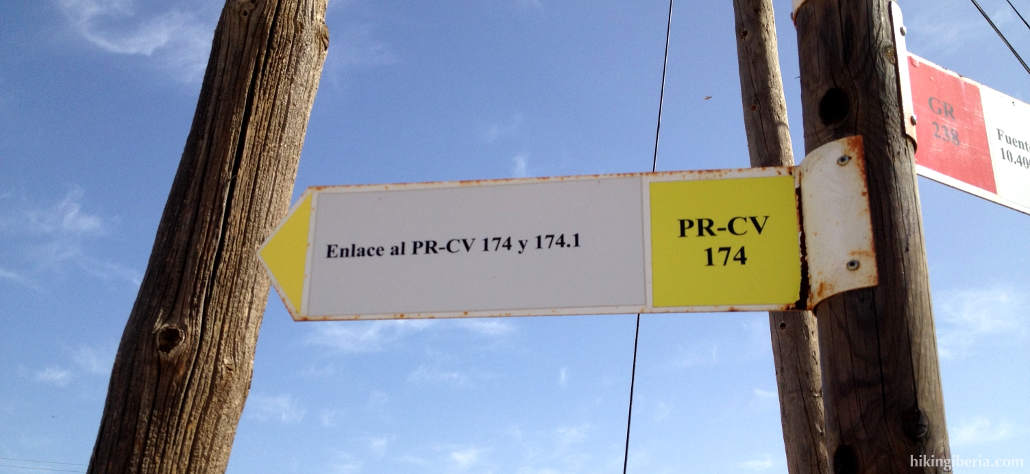
- Where the asphalt road turns right, we keep straight on onto the dirt road, following the signposts of the PR-CV 174 (4). At the next junction (well marked) we turn right onto the small trail downhill (5). At the next Y-junction (6) we keep left and further on we ignore a path on the right.
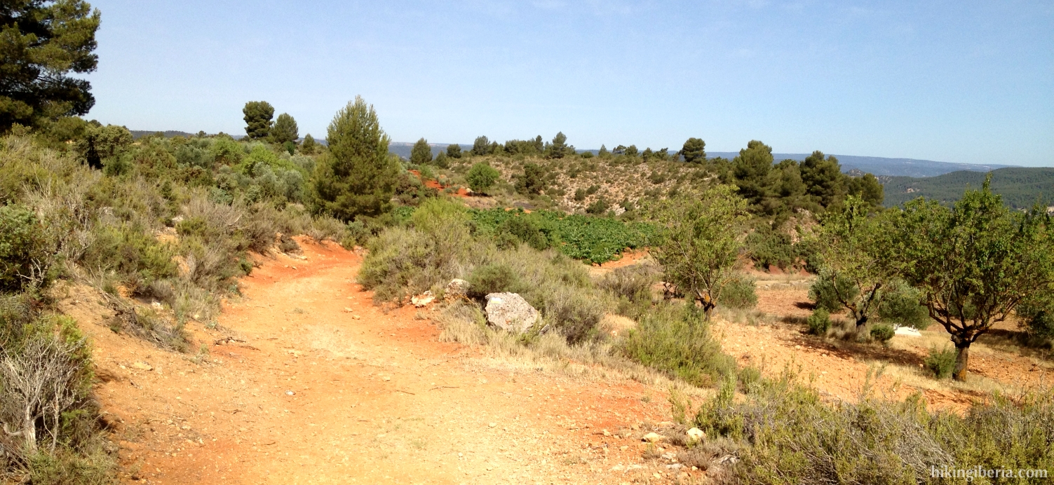
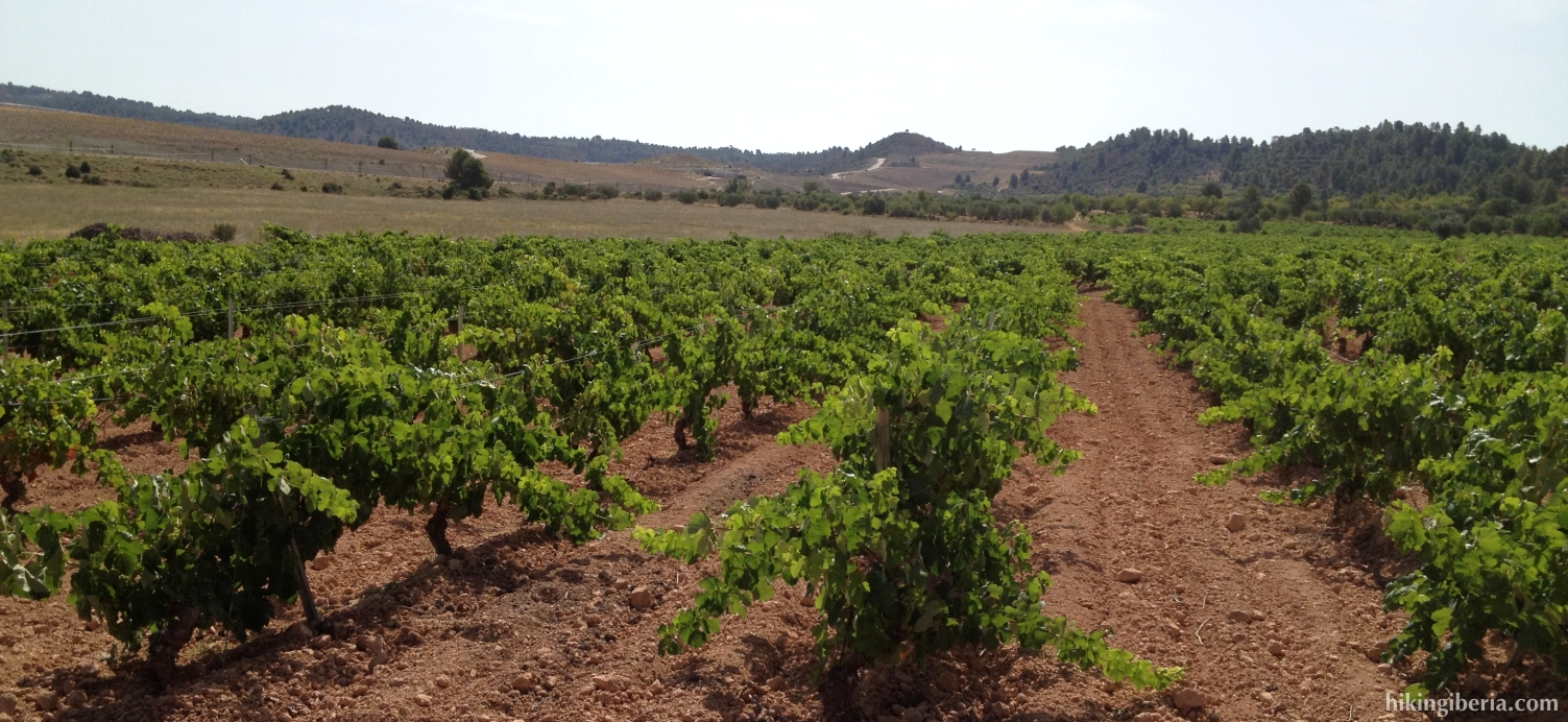
- Now we ignore a number of trails on the left and the right until we walk past some wine fields. We get past a trail on the right, which we ignore. Directly behind it we turn left at a Y-junction (marked) (7). Next we turn right with a square bend (8), further uphill along the wine fields.
- Now we walk in a slanting direction uphill to the road that we can observe further above (9). Arriving here we turn right. We walk this road to the end, and turn right at the asphalt road (10) and then go over the bridge over the train rails.
- At the other side of the rails we follow the bend to the right and end at a dirt road (11) where we turn left, still following the marking of the PR-CV-174.
- We follow this dirt road for a while until we turn left onto a small trail (marked) uphill (12). This trail initially takes us high along the reservoir and then slowly descends until almost the surface of the reservoir. Here the trail ends and thus we return (13).
- Now we walk the same route back until the crossing at the rail bridge (11). Now though we turn left towards the campsite, following the marking of the PR-CV-174.1. Just before the campsite we follow the marking to the right through a fence, we walk along the fence of the campsite and past this fence we turn left again. A bit further on we find a marking to a path from where we have a very nice view on the reservoir (14).
- The path now heavily descends towards the reservoir (15). With low water there is the possibility to, at the bottom of the rock, cross the water and continue the PR-CV-174.1 at the other side to Villargordo del Cabriel. We though continue the route back to the rail bridge, cross it, and then at the crossing (10) go left again onto the same dirt road as on the way out.
- Now we stay all the time on this road that will take us back to Villargordo del Cabriel.