NL
NL  IT
IT  DE
DE  ES
ES  EN
EN 
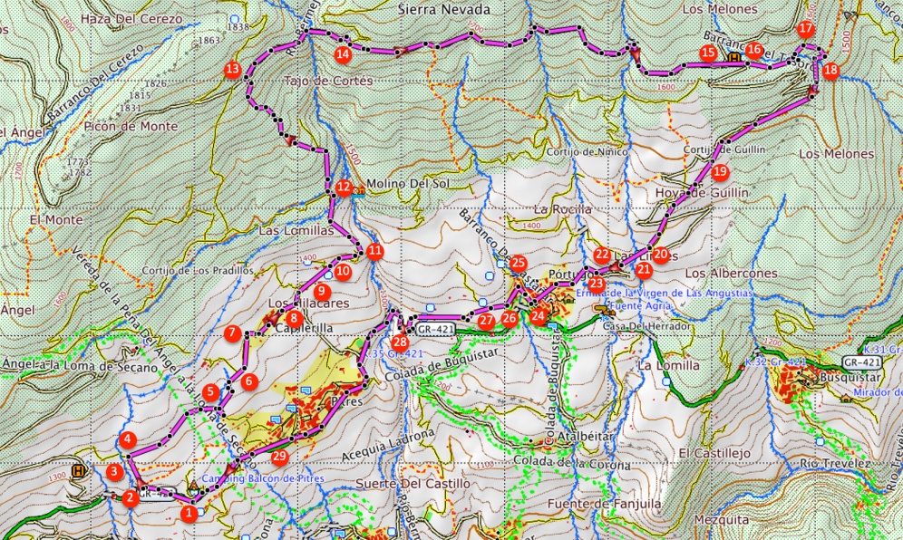
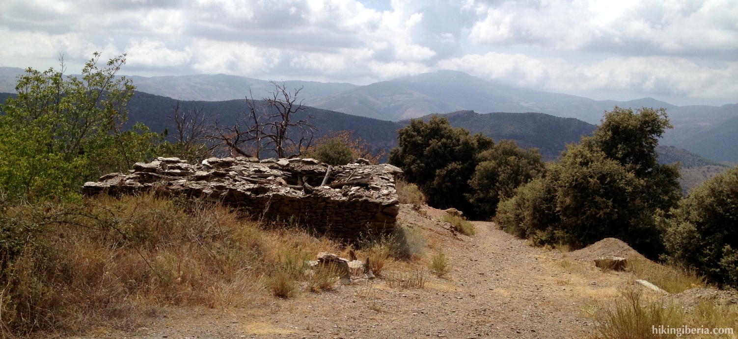
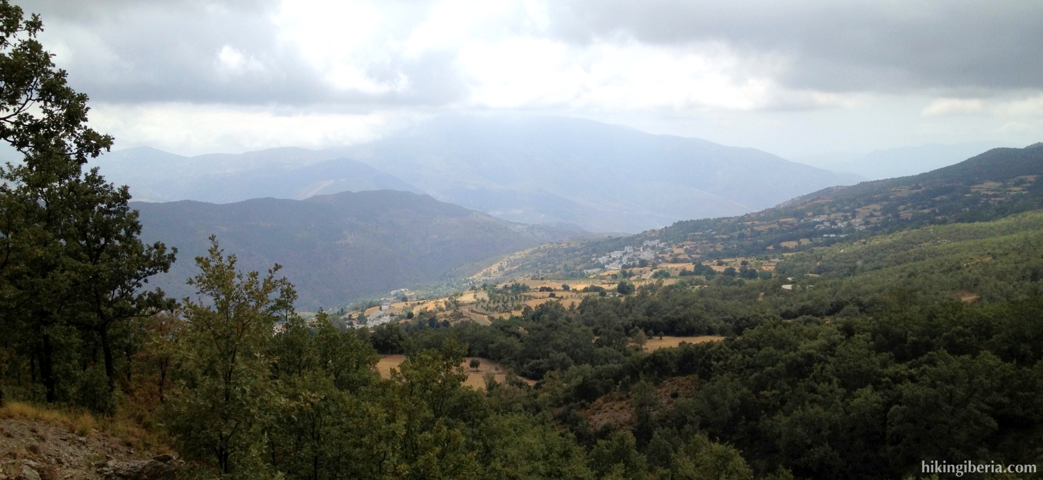
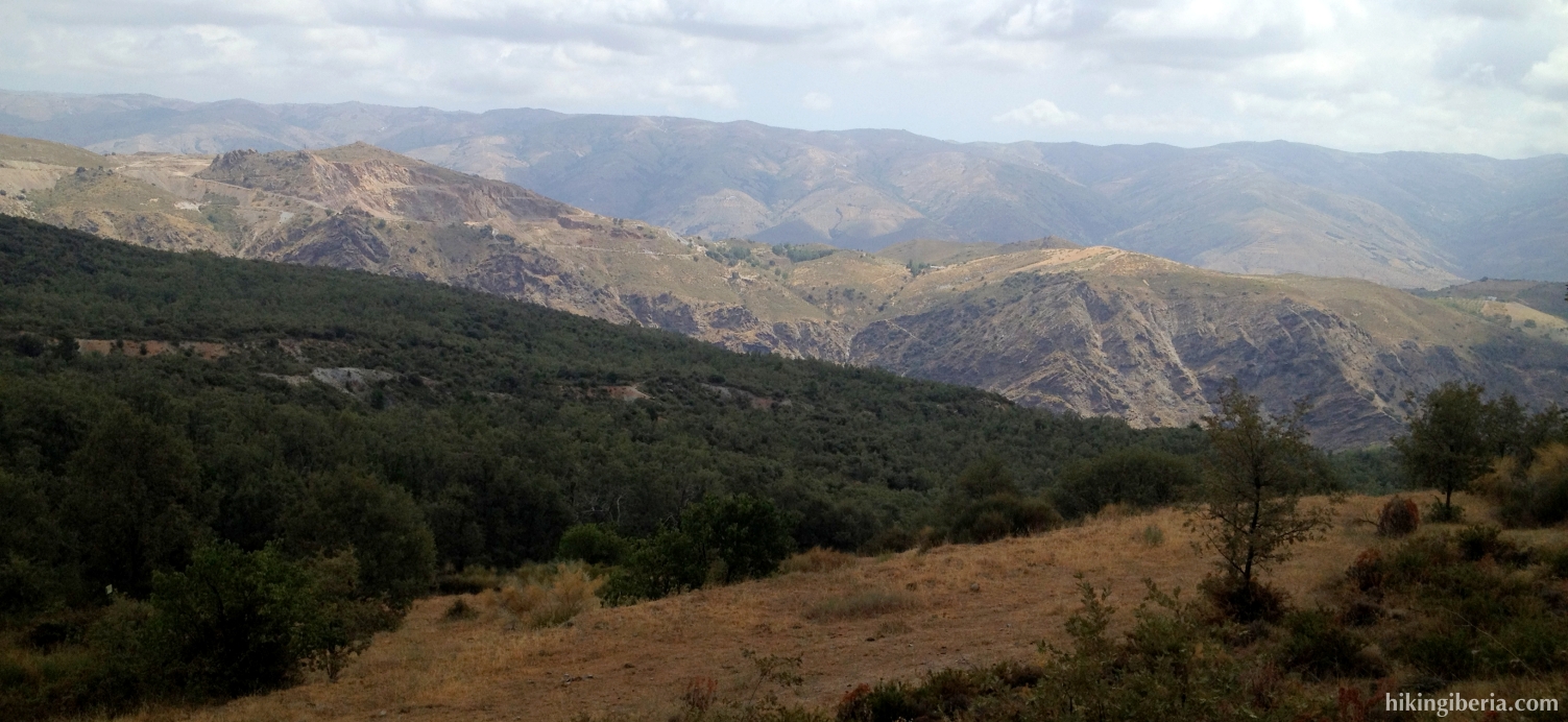
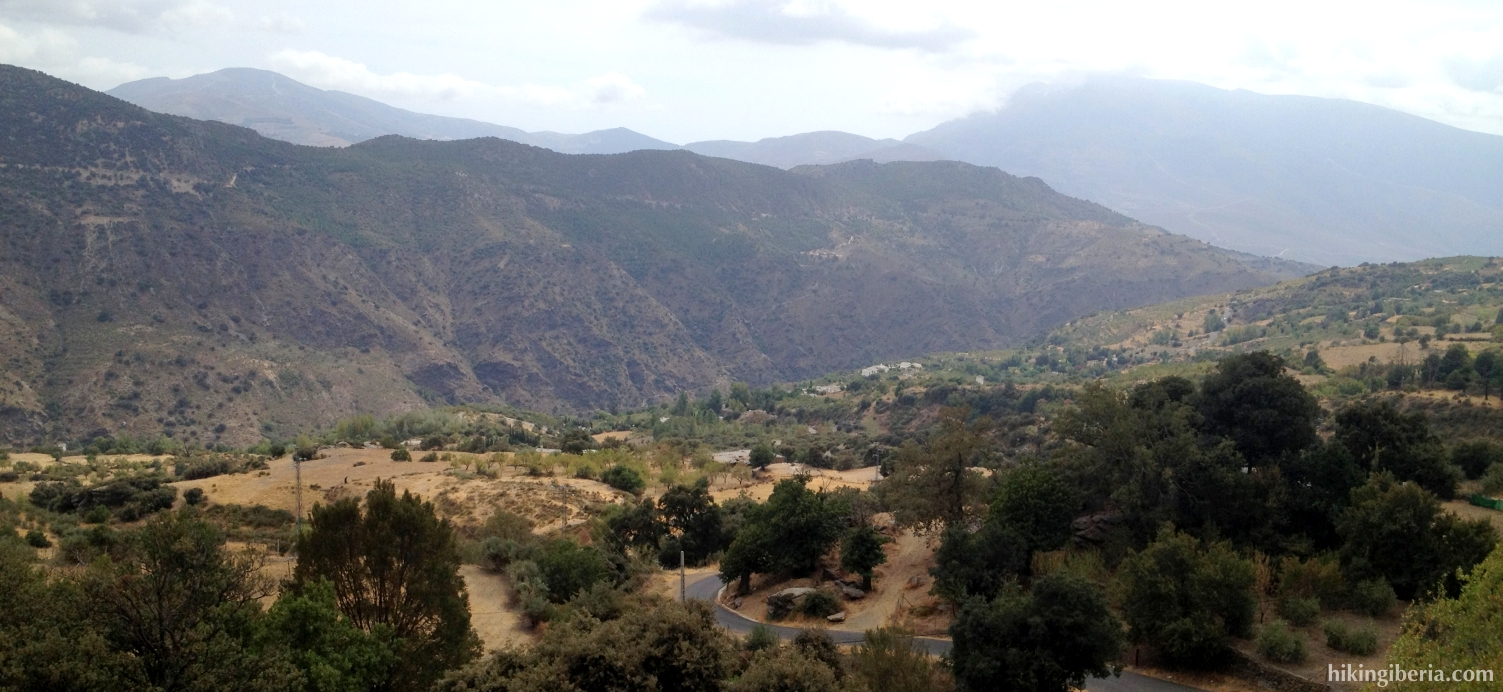
On this hike we make a round through the central part of the Alpujarra of Granada and the towns of La Tahá, a hike with a different character than the typical climbing of a peak of the Sierra Nevada. From Pitres we walk to the charming town of Capilerilla from where we start an intense climb over the Loma de las Tonadas. Next we walk a couple of kilometres horizontally with a nice view over the valley of Pitres, Pórtugos and Busquístar. Through the forest we descend to Pórtugos from where we walk the last part back to Pitres.
- From the exit of the campsite “El Balcón de Pitres” (1) go to the right onto the asphalt road (in the direction Pampaneira). A couple of hundred metres further on, in a bend of the road, we enter a dirt road on the right (2). A bit further on, the road is closed on the right with a chain; we turn left here onto the trail.
- This trail climbs intensely. We get past a trail on the right (3), which we ignore. Next we get at a dirt road (4) where we turn right. We ignore various side-paths both left and right until the road becomes paved, starts to descend and ends at another asphalt road with a junction (5). Here we go onto the road most on the left that ascends lightly.
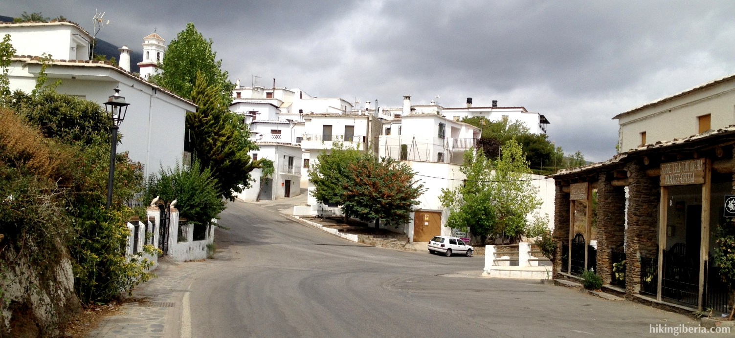
- We get past a narrow dirt road on the left (6), but go straight on the asphalt road, which brings us to Capilerilla. We walk a small stretch through the village and get at a junction where on the left is signposted “GR-7 Bubión” (7); we turn to the right though, further into the village. We walk through a narrow street and at the end of it turn left, under the balconies of the houses, and walk out of Capilerilla again.
- At the town frontier, where the asphalt road turns right downhill (8), we take the road to the left, past the Fuente de las Pocillas. Further on at a Y-junction (9) we turn right. Further at a trail on the right, signposted with “Pórtugos” we continue straight on. Further on we ignore a side-path on the left (10). At the next Y-junction (11) we do turn left, onto a trail signposted white-yellow.
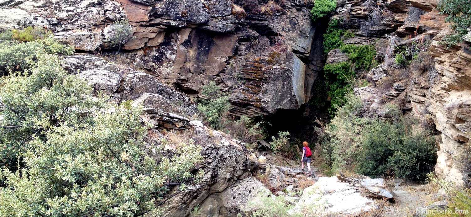
- We now follow this marked trail, the PR-A 29, for quite a while. It is a narrow trail through the forest that makes us ascend heavily. When we are out of the trees for a while at a fork (12) we turn right, following the signpost to “Área Recreativa de Pórtugos”. We keep following the white-yellow marking trough this narrow and steep trail until we reach a broad dirt road (13). Here we turn right towards the “Área Recreativa de Pórtugos”.
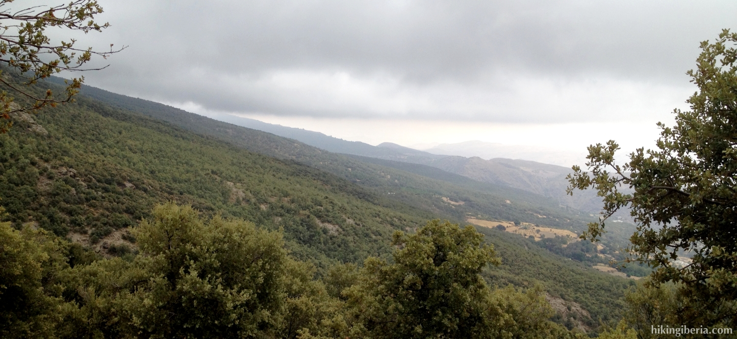
- We stay for about 2.5-3 kilometres on this road and ignore various side-paths, thus also at a bridge (14) where there is a side path at the left, we stay on this road, towards Pórtugos. After about 3 kilometres having walked on this road we get at a Y-junction (15) where we turn right, towards “Pitres-Pórtugos”. A but further on where the road turns left with a sharp bend, lies just in the bend on the left a trail downhill (16), which we enter.
- This path turns left in a bend and descends further. At the next junction we go straight on. Further on in a bend we leave the path forking to the right, onto a narrow trail (17). This quickly brings us to another trail (18), where we turn right.
- Finally we get at the dirt road again (19), where on the other side of it, on the right, our trail continues. We cross the road another two times. When we get at the road for the fourth time (20), we turn right onto the road and over the bridge.
- At the next Y-junction (21) we keep left towards the paved road downhill. Below in a bend we follow the arrow straight on, onto the trail again (22). Further on we reach the paved road again (23) and turn left.
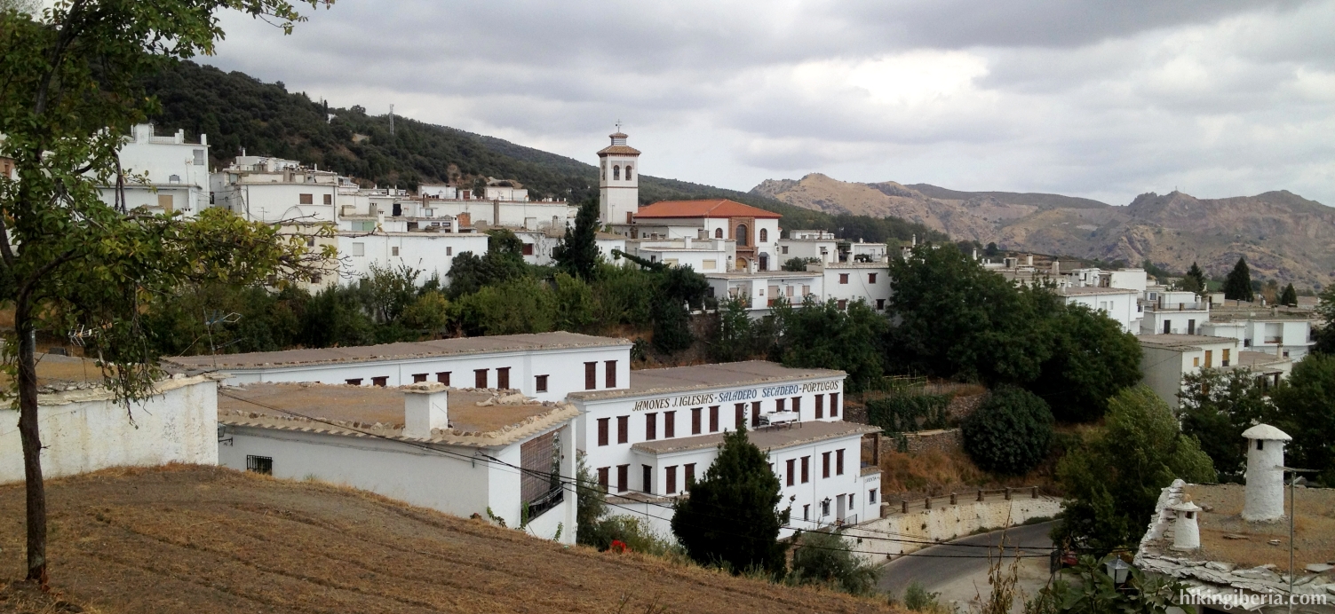
- We now reach Pórtugos, keep left and then right and get at the Plaza Nueva. We keep straight on and get at an alley (24) where we turn right. We now reach the Plaza de Churriana (25), where we turn left, into the Calle del Rosario. At the end of the Calle del Rosario, at a Y-junction (26) we turn right, a short stretch uphill, out of the village. At the next Y-junction (27) we keep walking below to the left.
- This trail eventually ends at an asphalt road (28), which will take us back to Pitres (29).