NL
NL  IT
IT  DE
DE  ES
ES  EN
EN 
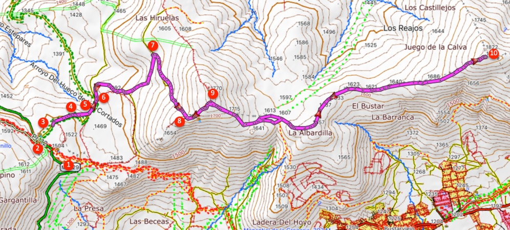
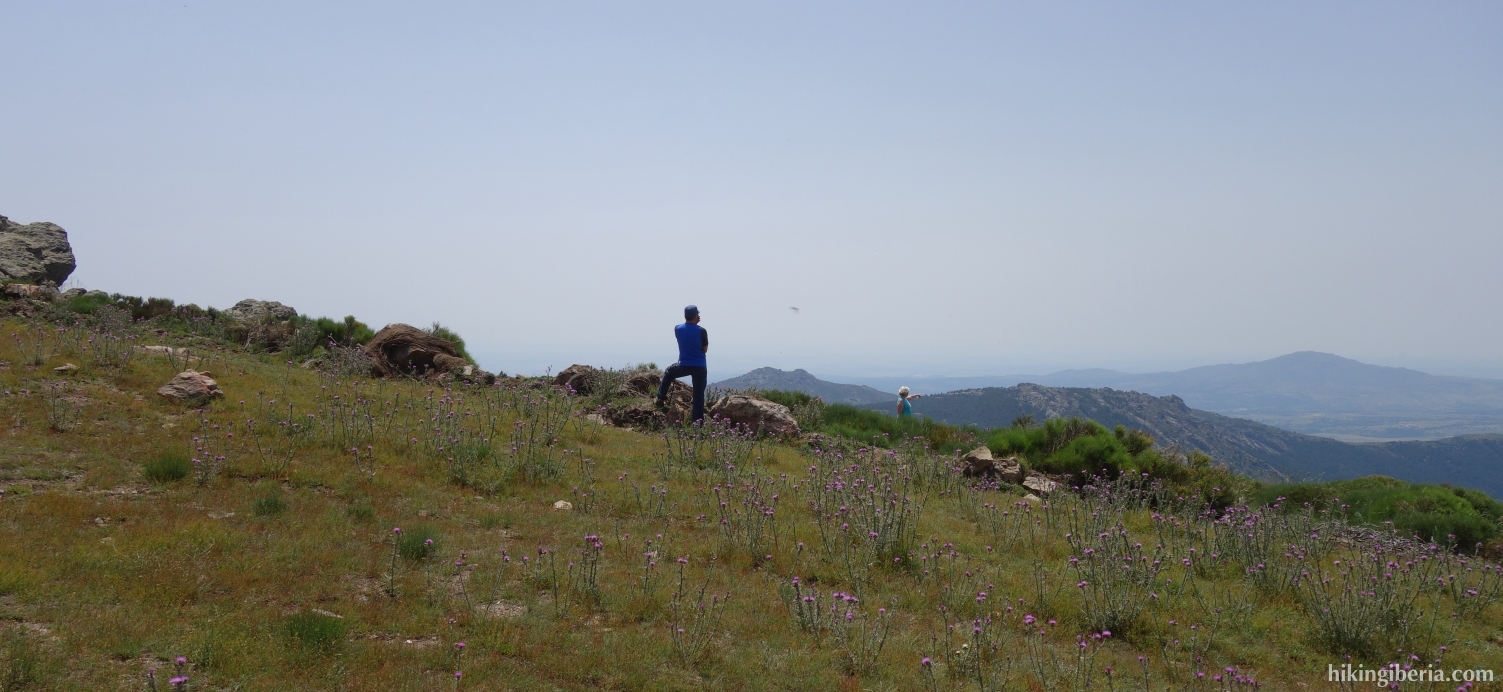
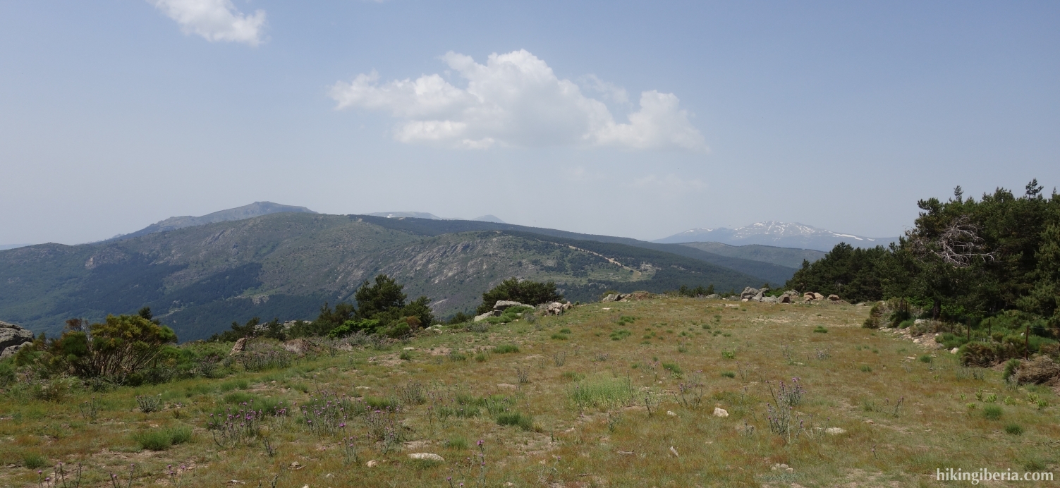
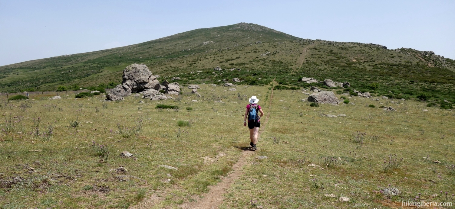
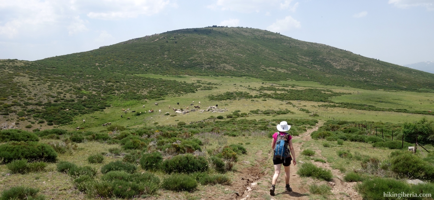
During this hike we ascend the Mondalindo, a peak of 1,831 metres near the town of Bustarviejo in the Sierra Norte de Madrid, one of the better known and popular peaks of the southern part of the Sierra Norte. Usually the Mondalindo is ascended from Bustarviejo, but on this route we depart from the Puerto de Canencia and walk via the beautiful plateau of the Sierra Norte of Bustarviejo to Mondalindo.
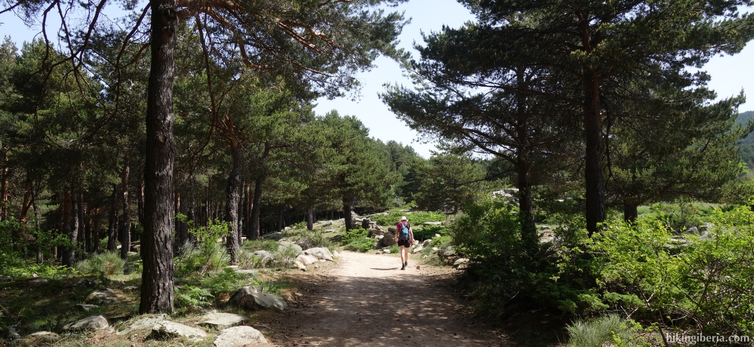
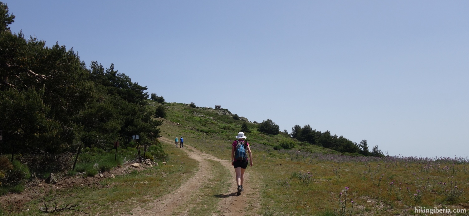
- If we parked along the road (1) we walk a bit further along the road to the parking lot at the recreation park (2) which we enter. We walk to its end where we walk past a gate with a cattle grid (3), onto a wide trail.
- After about 5-10 minutes on the dirt road we take a shortcut to the left (4) and then return to the dirt road (5).
- A bit further down the road forks (6) and we continue straight ahead, although here we see a yellow cross on the tree.
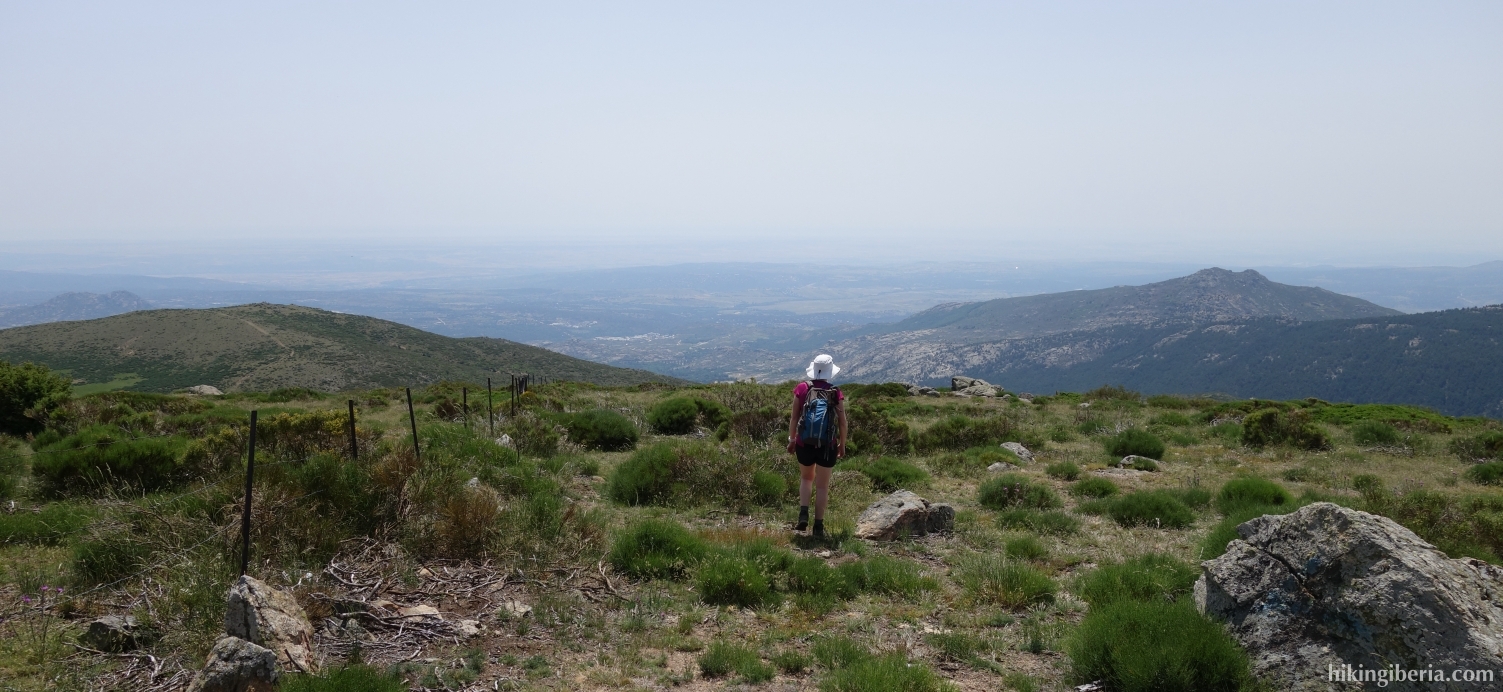
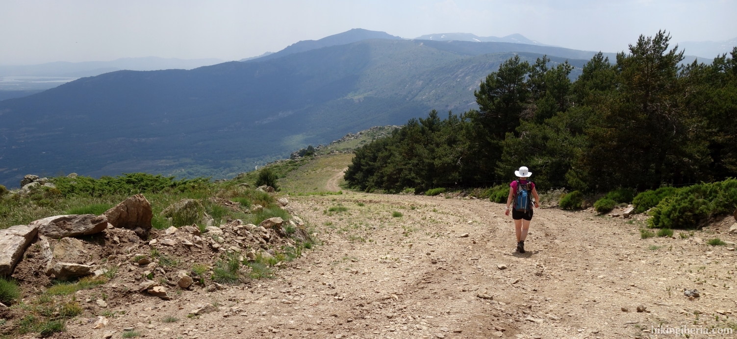
- We stay on the dirt road and after about 20 minutes in a curve we see another path on the left (7). However, we continue on the dirt road to the right.
- After another 20 minutes the dirt road ends (8) and we have to go through a provisional gate and then turn left.
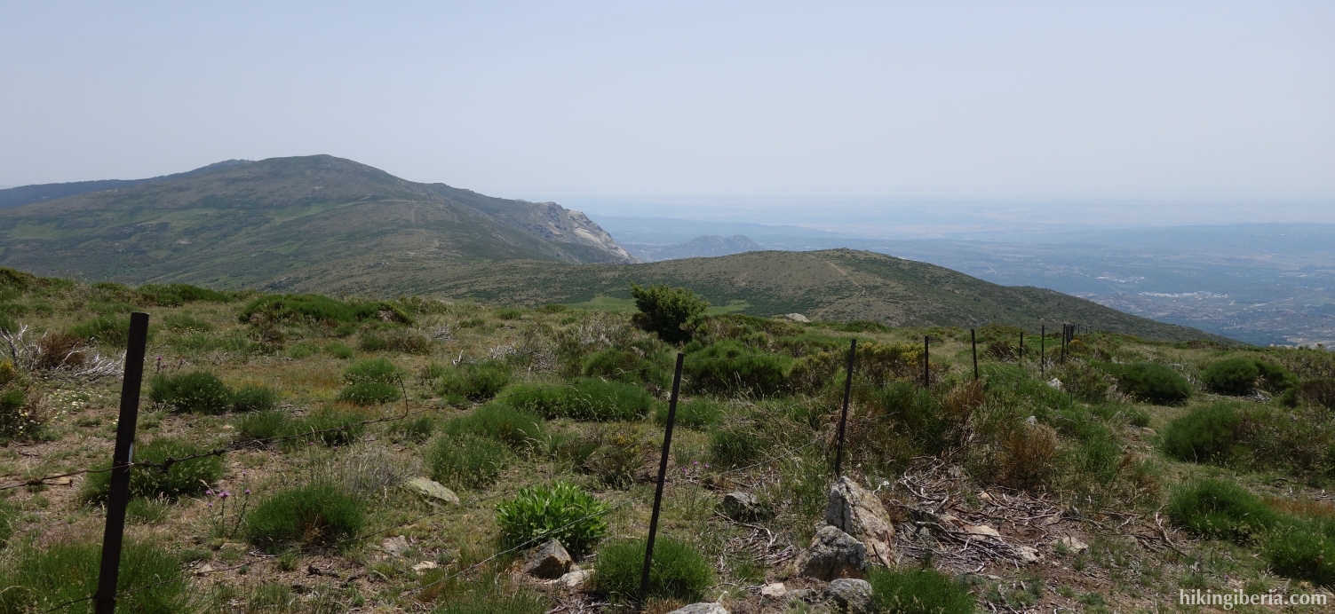
- After about 10 minutes we see on the left a path (9) towards the Pico Cabeza de la Braña, at 1,772 meters, recognizable by an antenna. However, the path for Mondalindo is straight ahead.
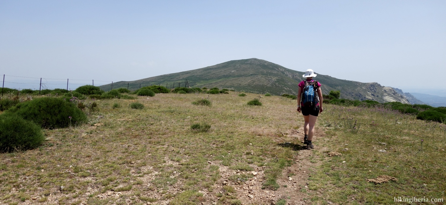
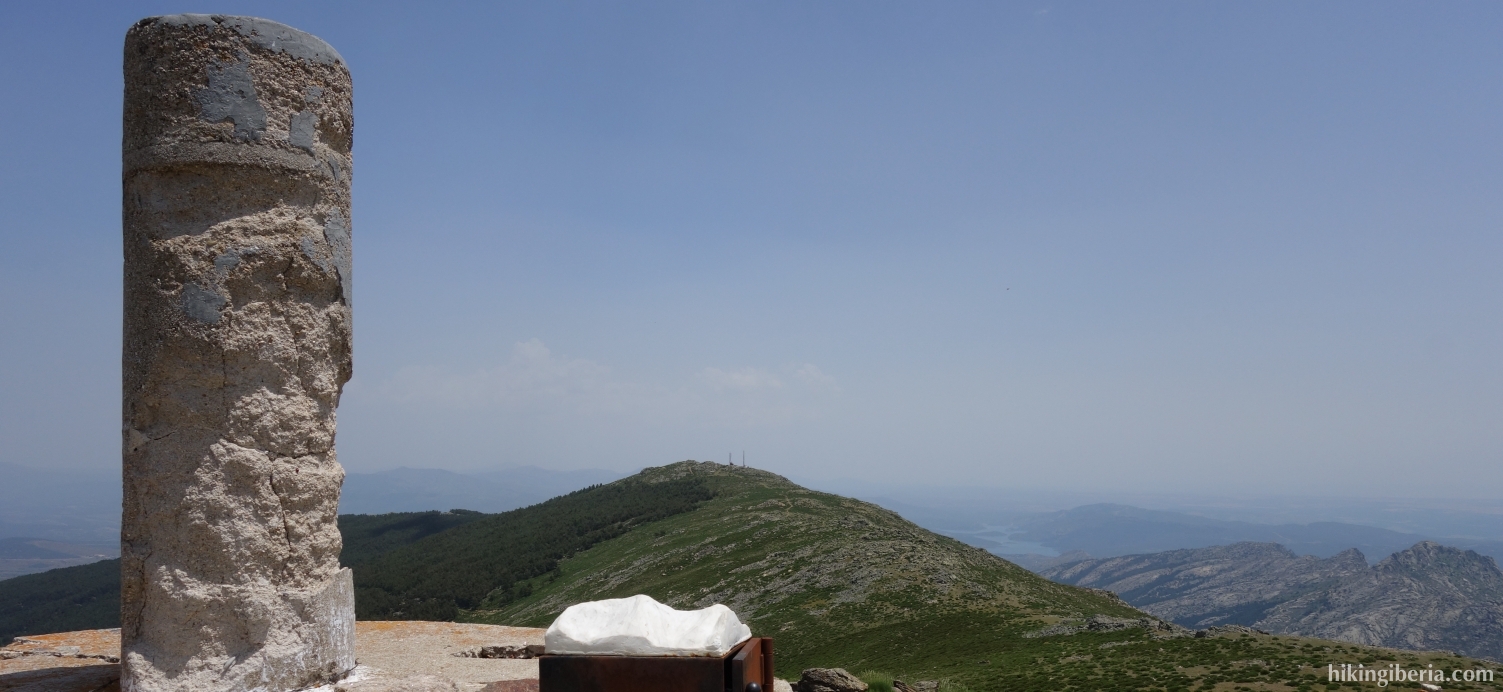
- Later the trail narrows and we ignore various side-trails, and so reach the Mondalindo (10).
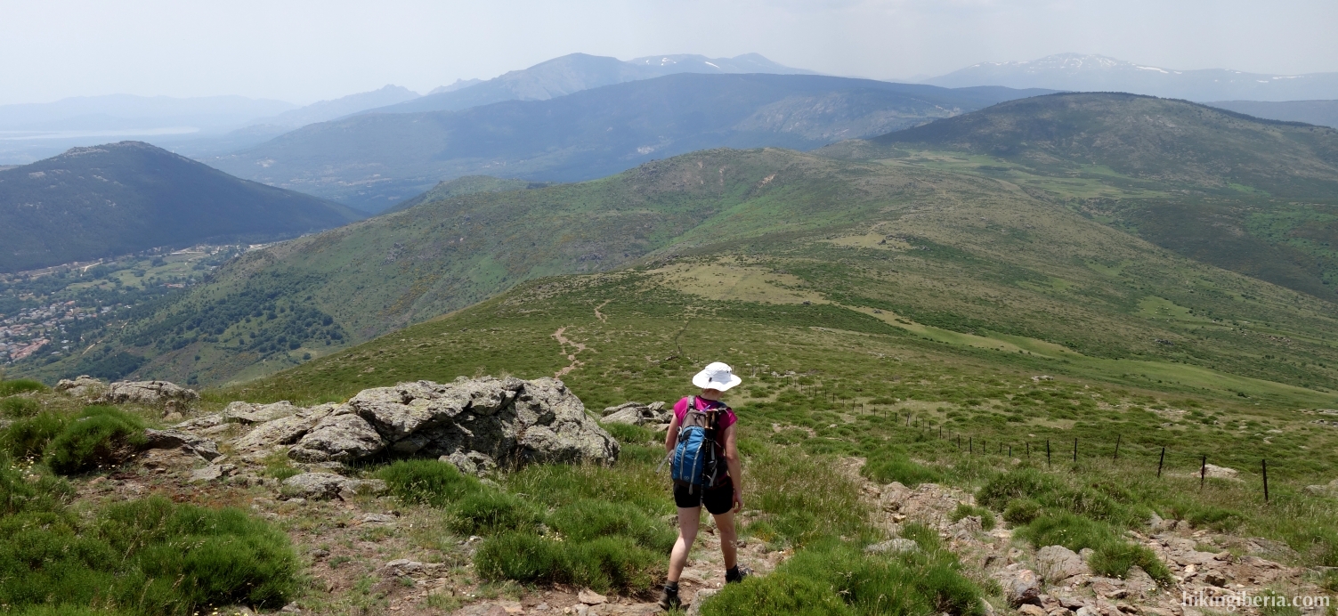
- The way back is via the same route.