NL
NL  IT
IT  DE
DE  ES
ES  EN
EN 
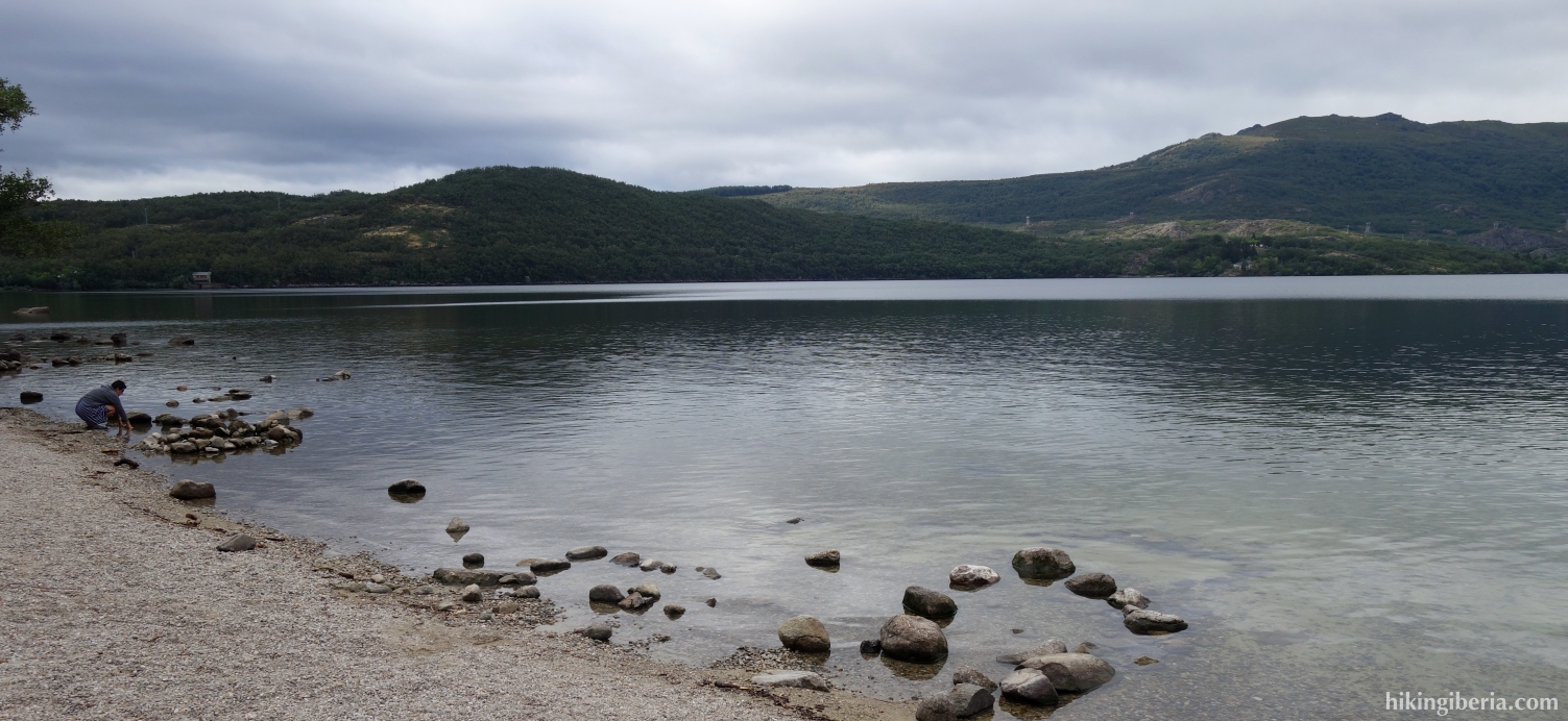
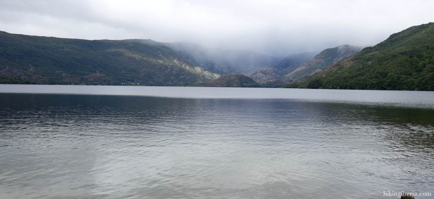
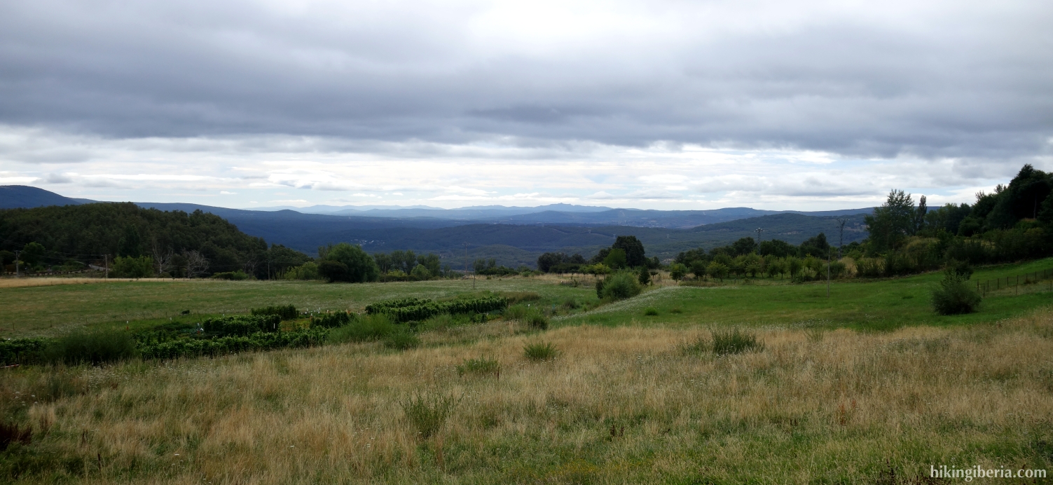
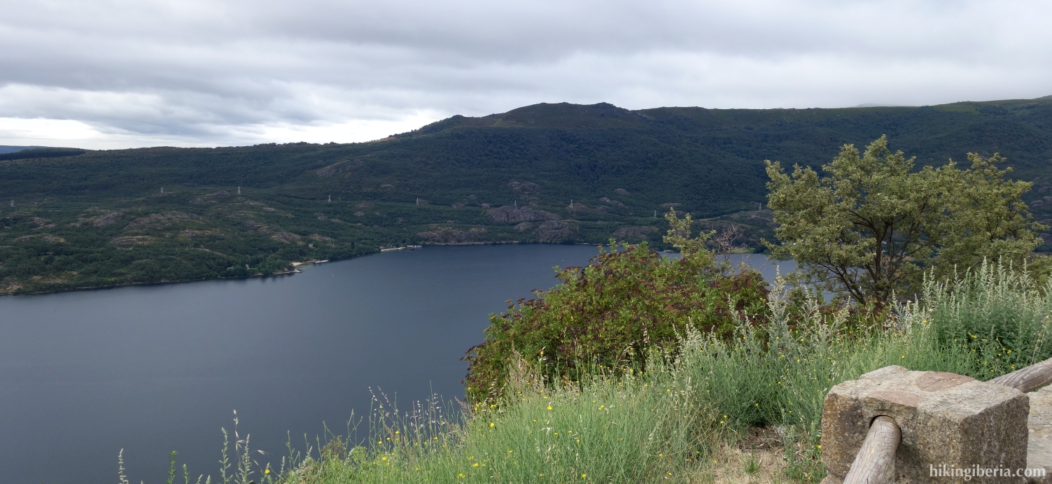
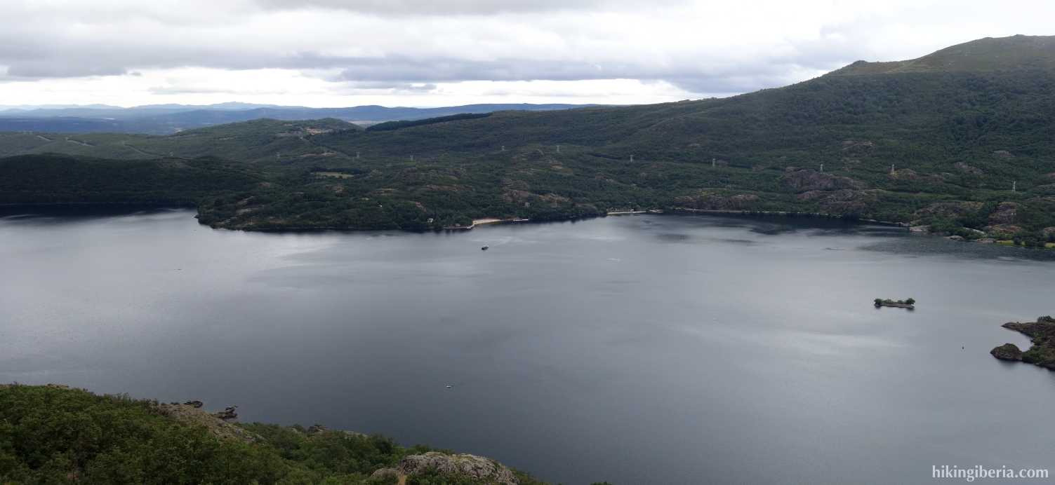
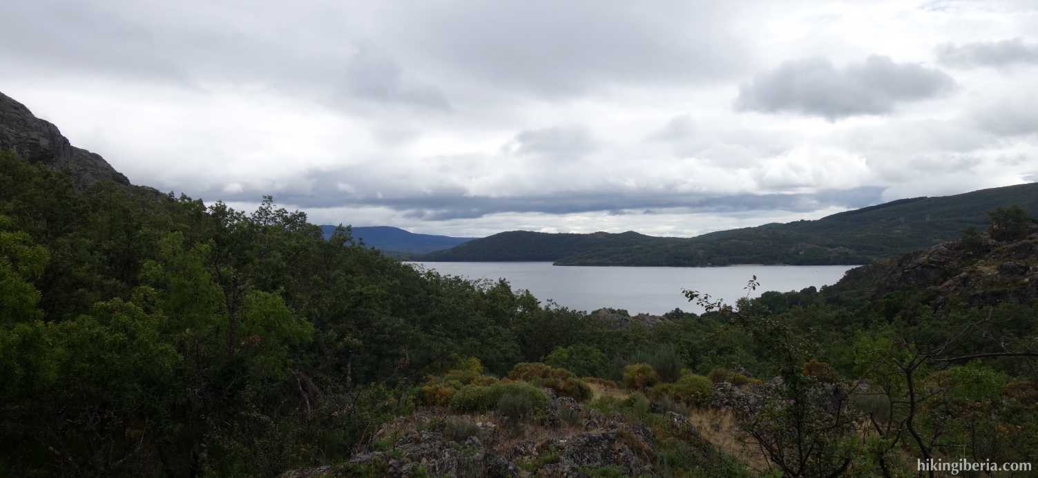
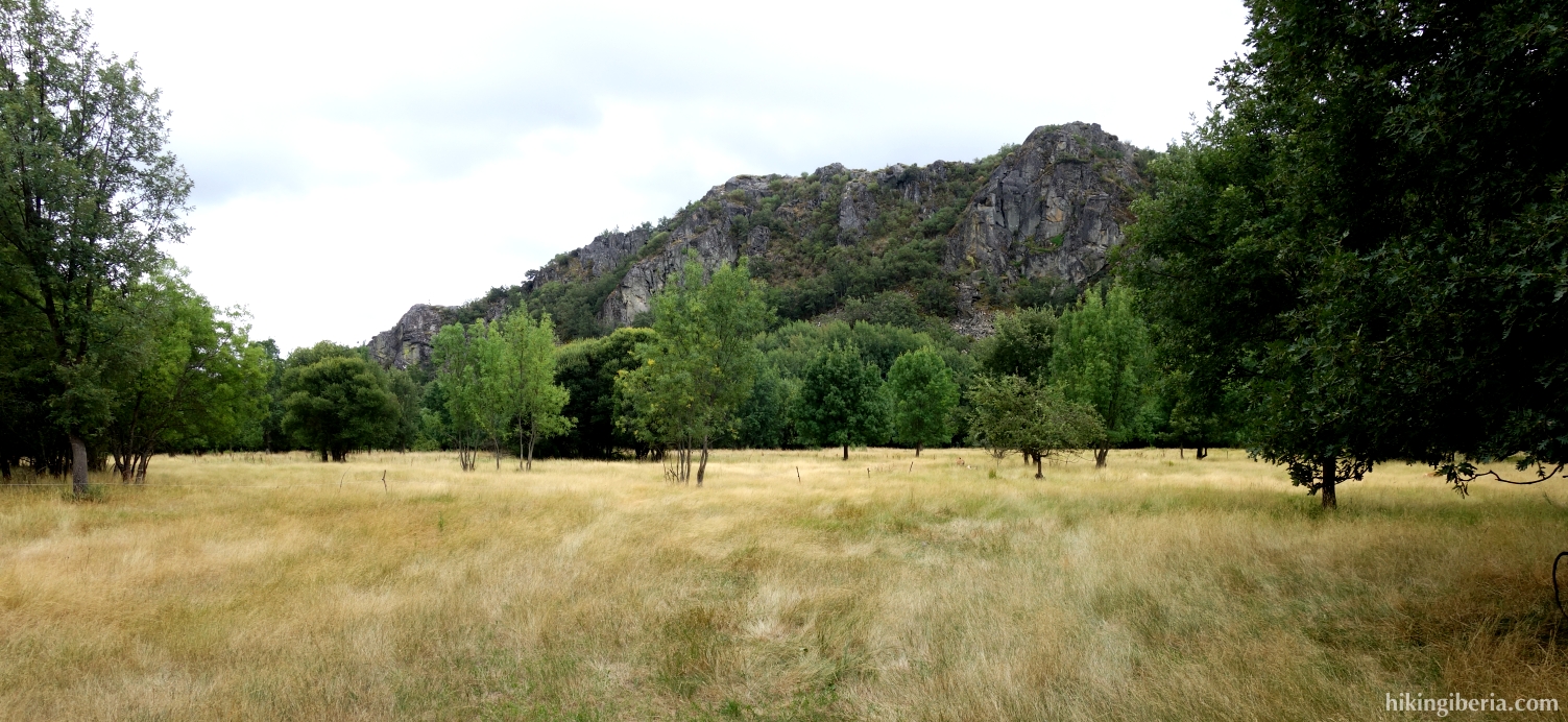
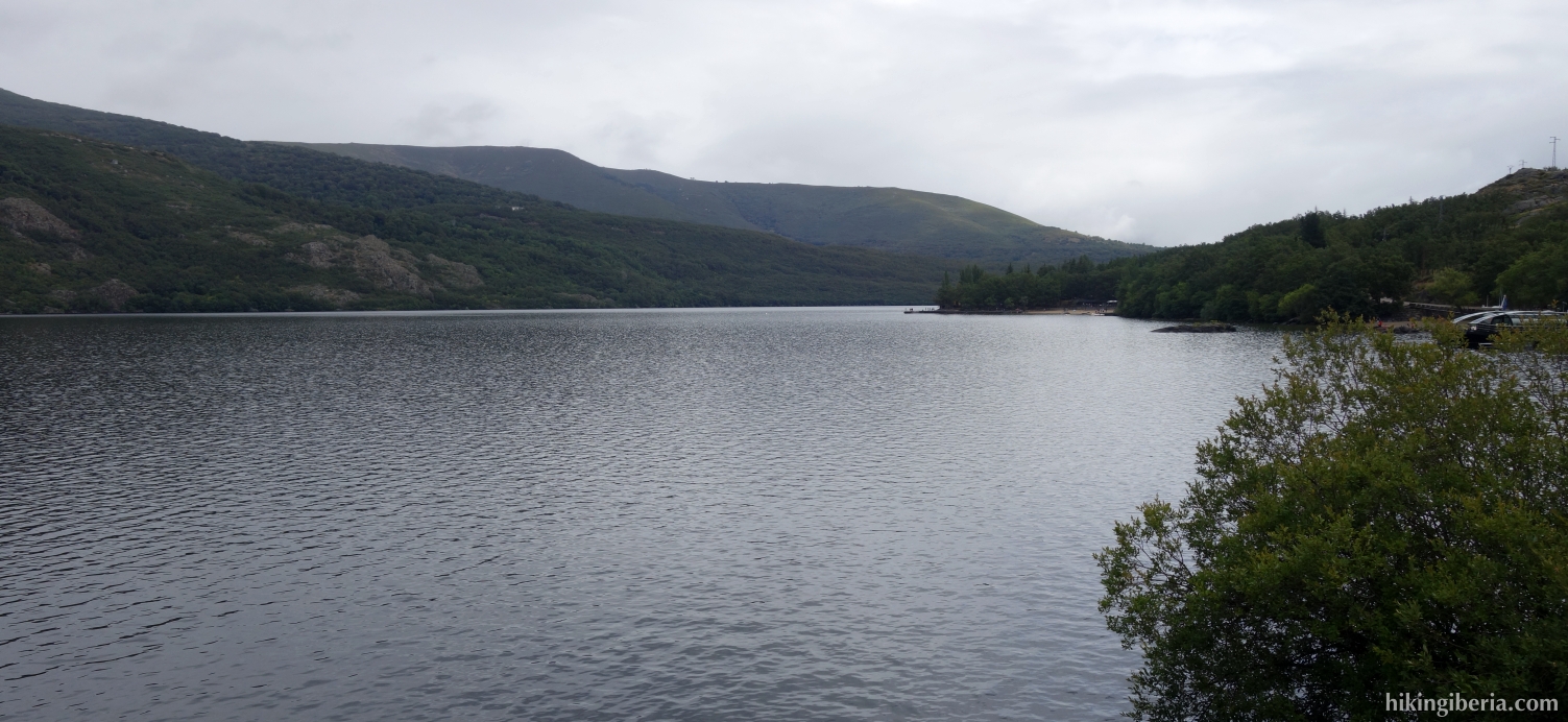
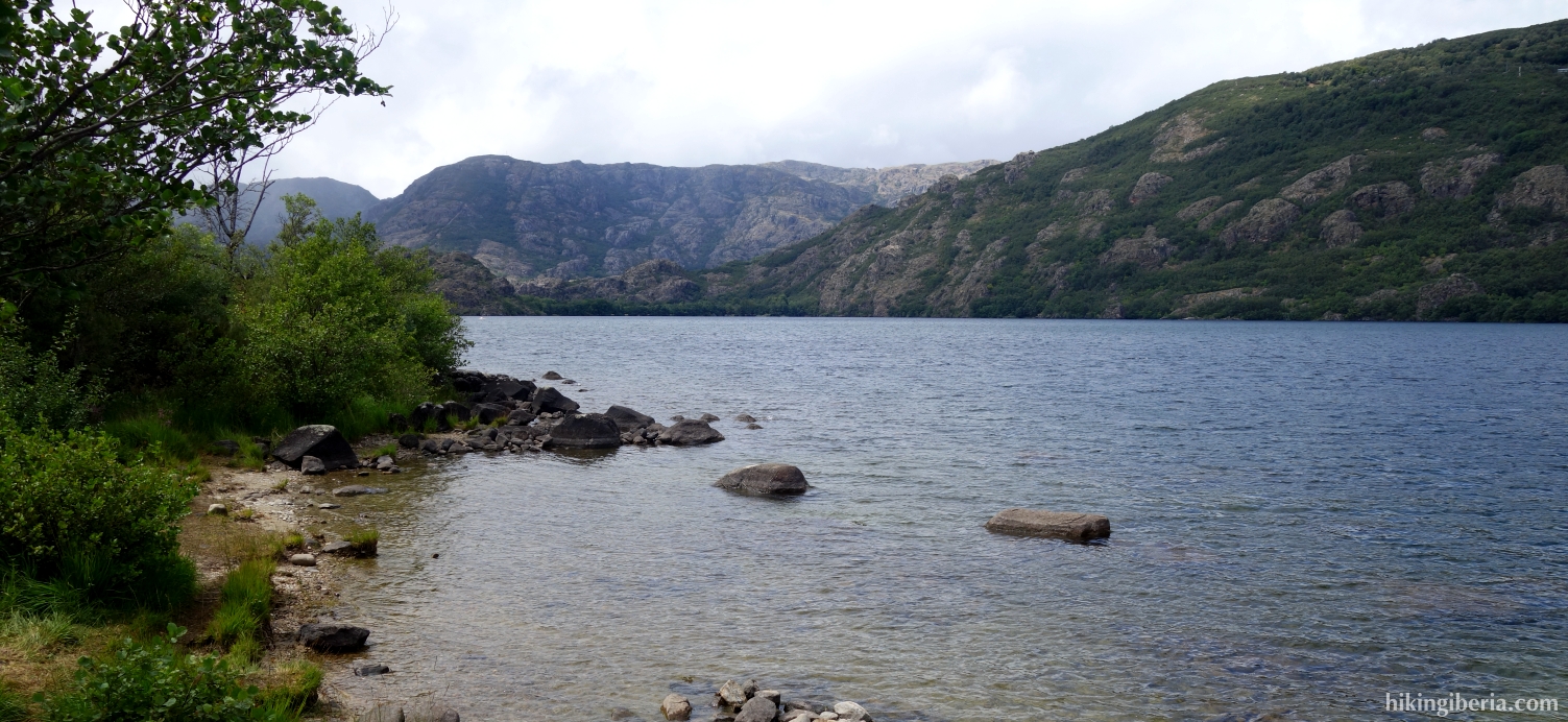
During this hike we go in a route of about 14 kilometres all the way around Lake Sanabria, the largest lake of natural origin of the Iberian Peninsula and the largest glacial lake in Europe. During the hike we can see the lake from all possible perspectives. Because of the mountains around the lake, the hike still takes on a somewhat mountainous character and we still have about 400 metres of height difference.
- From the car park of the beach of El Folgoso (1) we walk past the barrier at the end of the road where a trail begins, at a post with a blue sign of route 1 and the indication "Senda del Lago y los Monjes".
- After a few minutes we pass two trails to the left (2) that we ignore and we keep right, perfectly marked with a post and an arrow. Ten minutes later we cross a path (3) and follow the marking straight ahead.
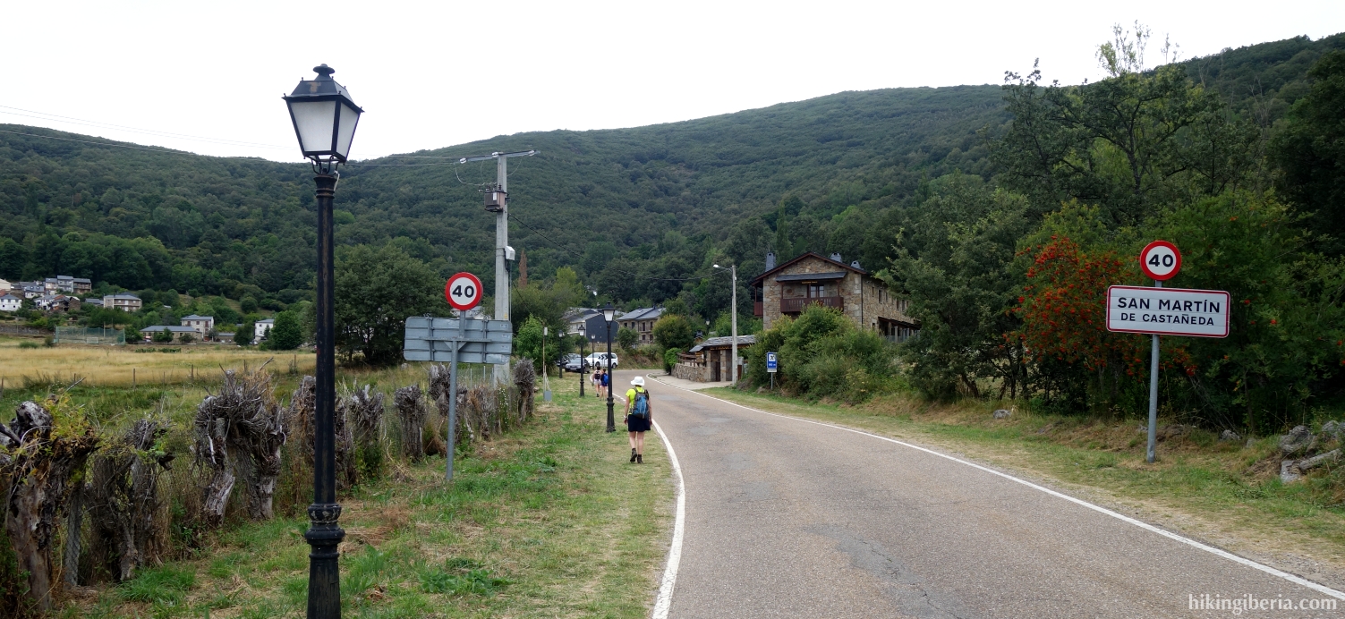
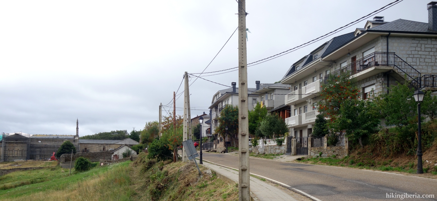
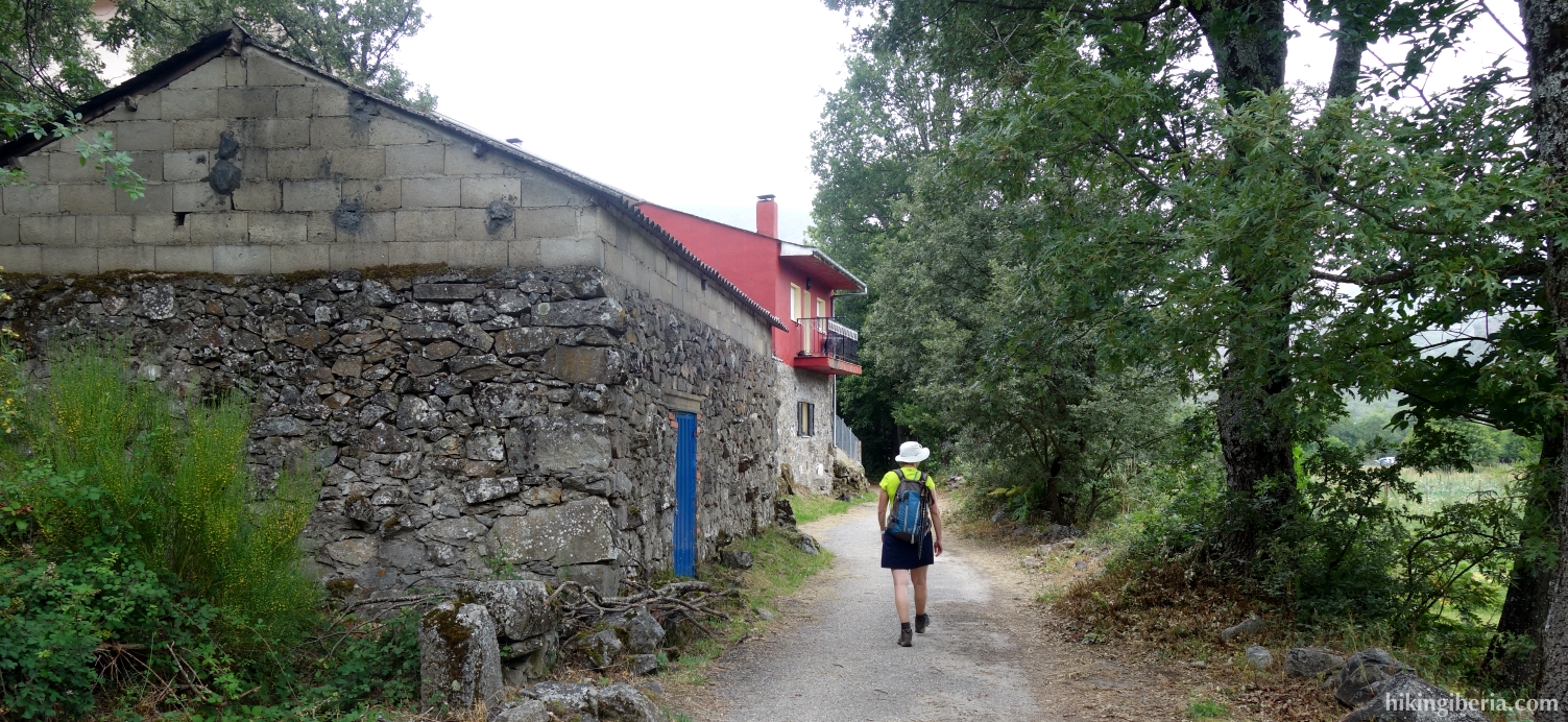
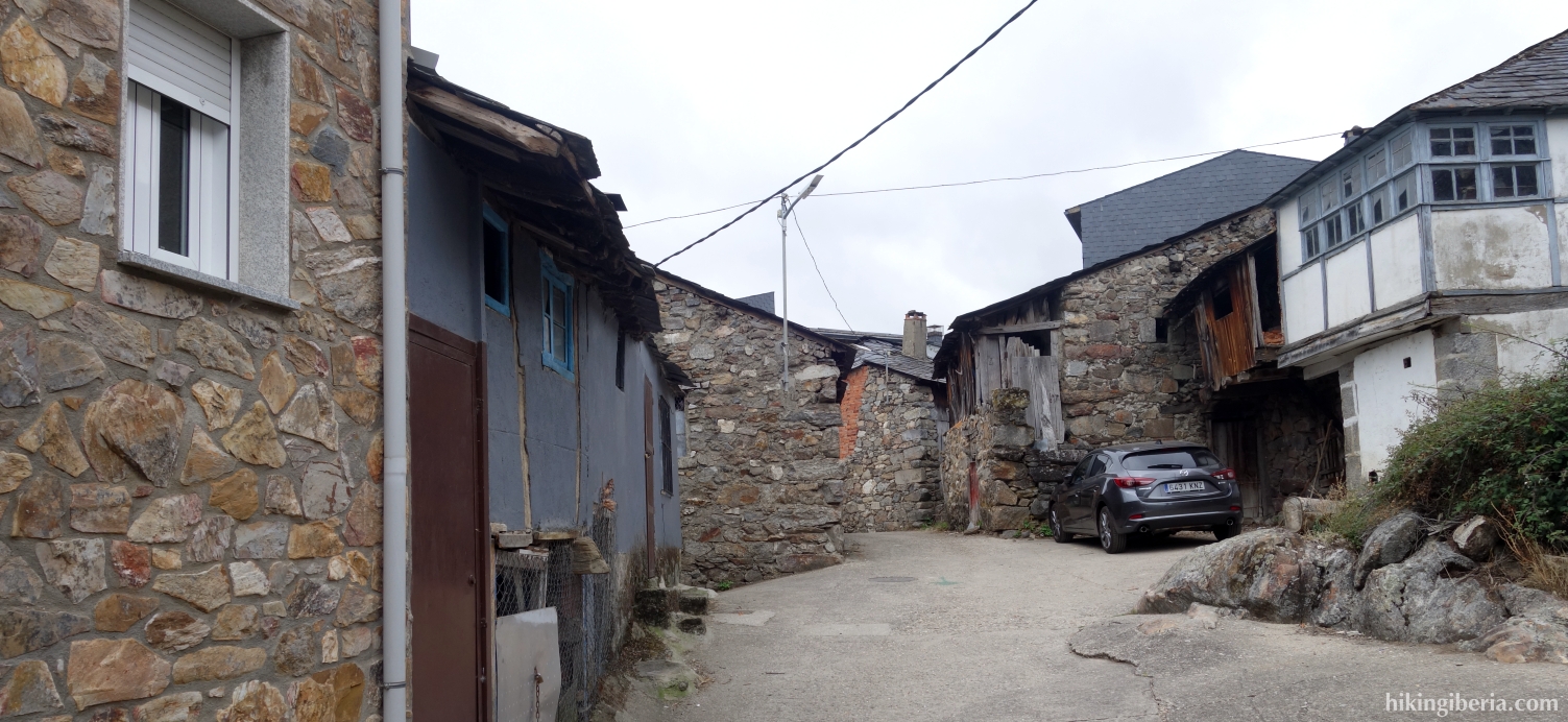
- After 15 minutes, a trail comes in from the right (4) but we keep to the left on the trail and quickly end up on the ZA-122 asphalt road where we turn left, and walk into the village of San Martín de Castañeda. We pass the church and monastery of San Martín de Castañeda (5), which is definitely worth a stop.
- We further follow the asphalt road and walk out of the village. In a bend we reach the viewpoint "Mirador de los Peces" (6) from where we have a very nice view over the lake. We now ascend about 50 metres via the asphalt road, walk past the place sign of San Martín and about 450 metres further (7) we leave the road on the right and then walk underneath it via a tunnel, again marked with a signpost of the route.
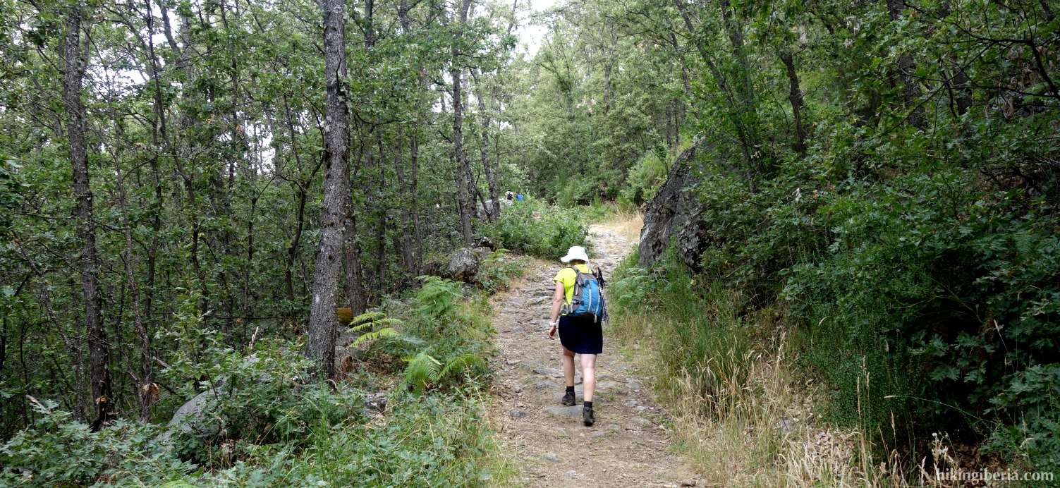
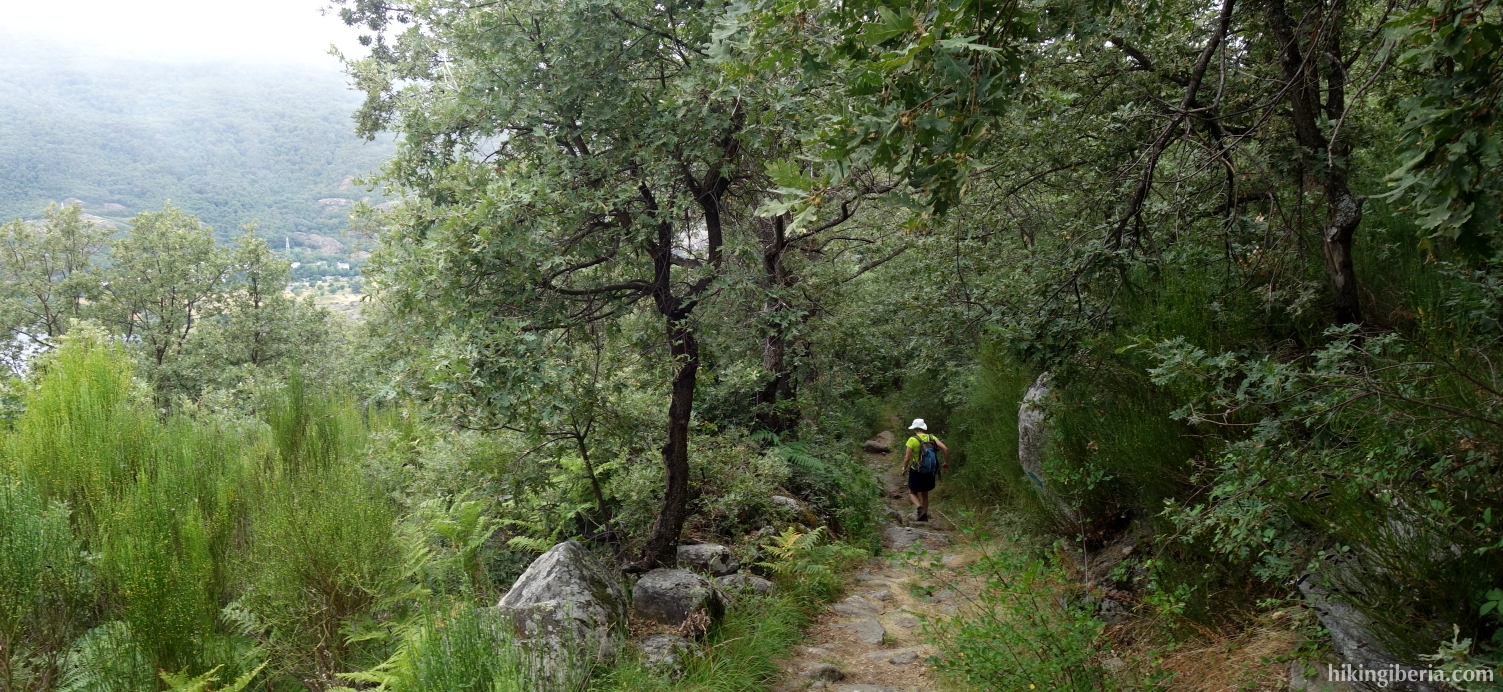
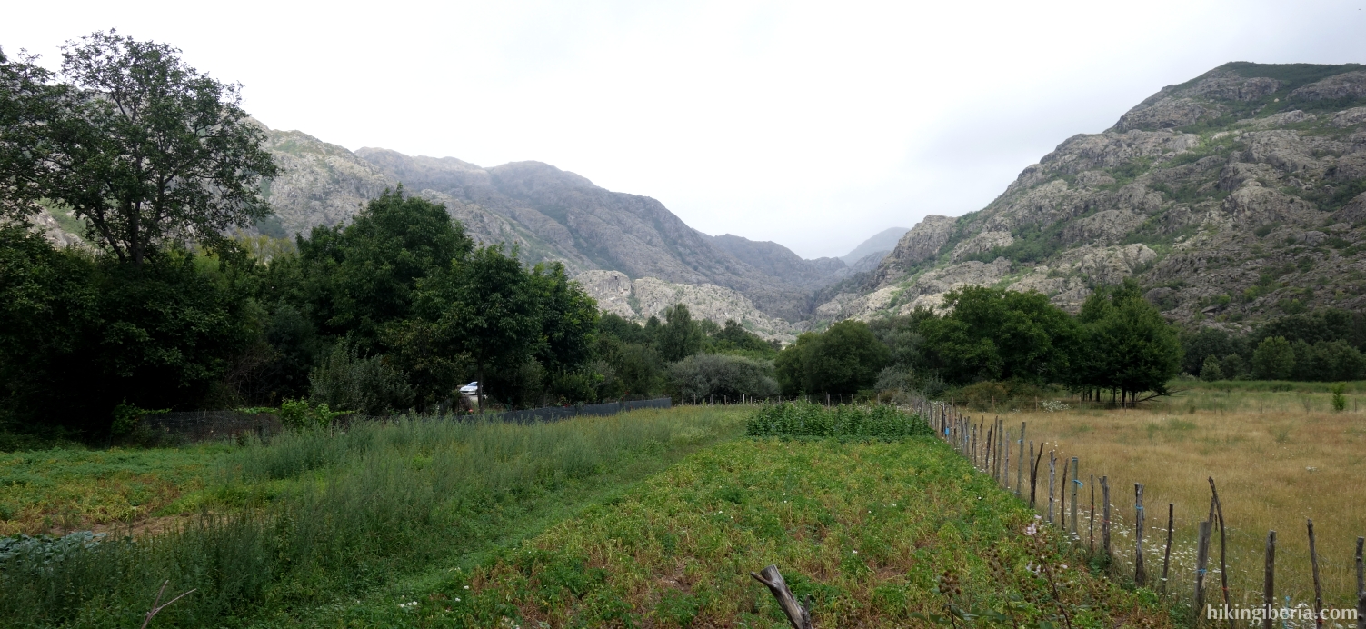
- The trail descends rather quickly and after about 45 minutes we end up at a bridge and some buildings (8) where we go straight ahead, further following the signs of the route. Five minutes later we turn right at the marking (9).
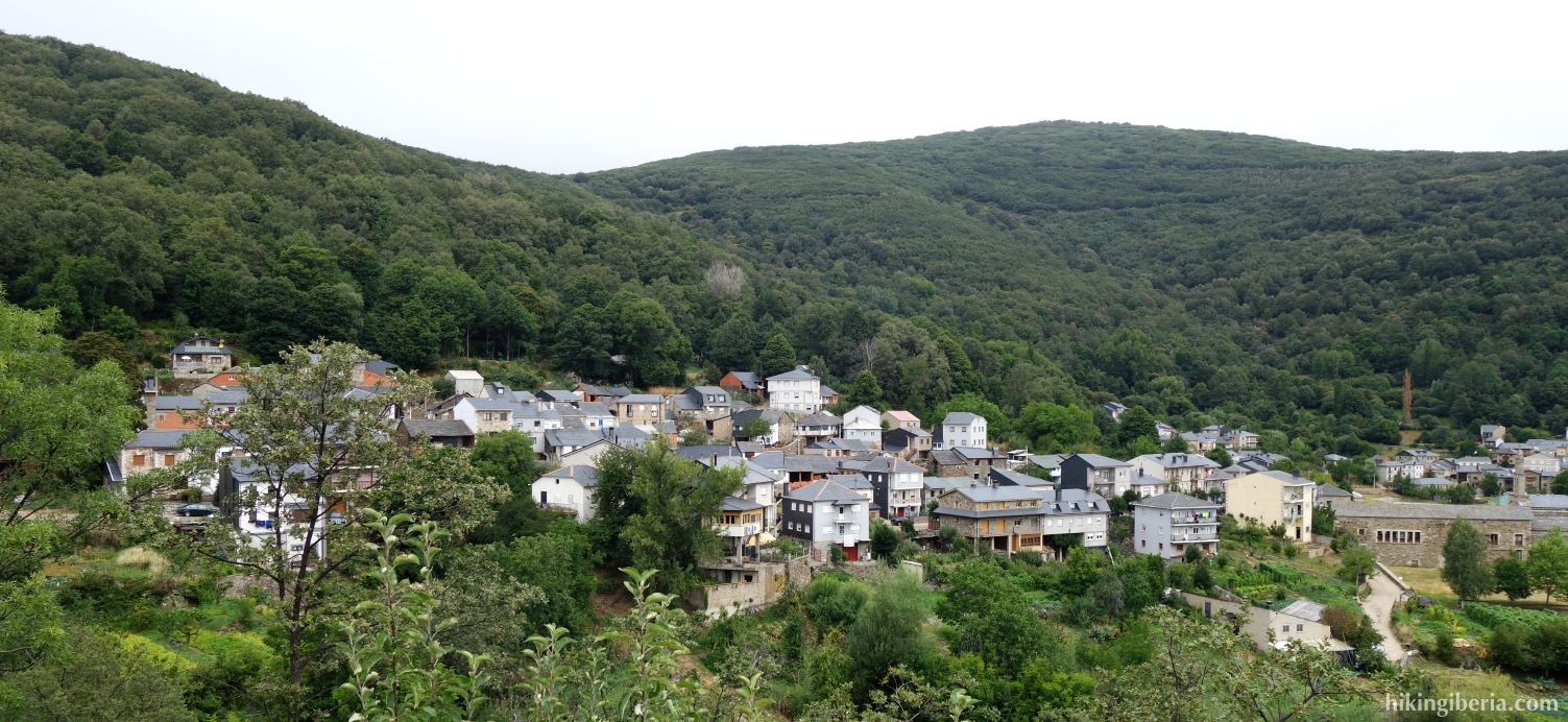
- After 10 minutes we walk into Ribadelago (10). We initially walk through the village and a little further at a fork (11) turn right. Further on we pass a memorial for the flood of 1959 and then turn left (12).
- We follow some green arrows on the road surface and walk out of the village again. After about 10-15 minutes we go via a bridge over the water (13) and we keep obliquely to the left, through the new part of Ribadelago. We come out at the asphalt road ZA-104 (14) and turn left.
- We walk parallel to the asphalt road for some time, at one point crossing the asphalt road to continue the trail on the other side.
- More than two kilometres past Ribadelago we see on our left hand, on the other side of the road, a signpost to a restaurant where a path begins that we enter (15). A little further on, we ignore a path with an arrow to the left, downhill.
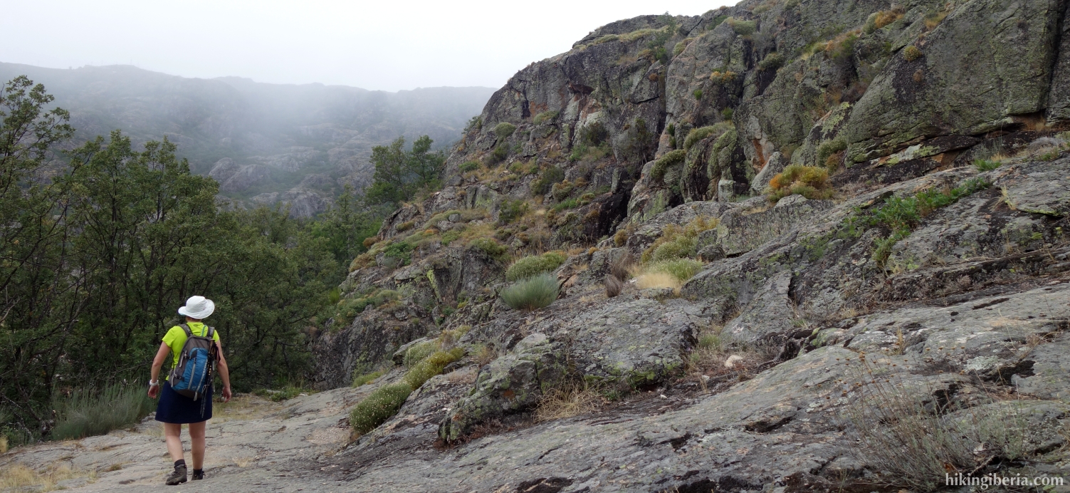
- We now walk on a trail right along the lake and after about 20 minutes at a small fork (17) we keep left and follow the marking. The trail goes up and down between the trees and after 15 minutes we end up at the asphalt road (18), along which we continue.
- We walk a few hundred metres along the asphalt road and turn left at the first turn (19), towards "Playa Arenales de Vigo". A little further on we go via a bridge (20) over the River Tera.
- Five minutes further we arrive at the car park of the beach of Los Enanos (21). We go left here on the beach and then directly right onto a narrow path on that runs parallel to the beach and the lake.
- We follow this path for about ten minutes and come out again at the Playa del Folgoso (1).