NL
NL  IT
IT  DE
DE  ES
ES  EN
EN 
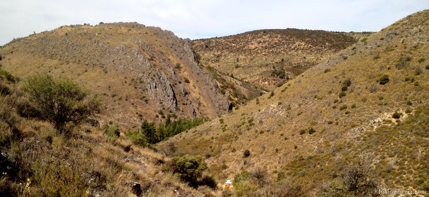
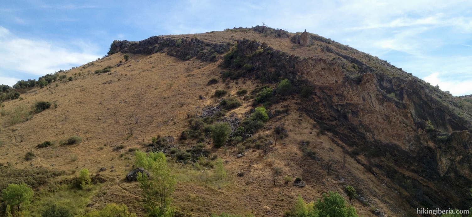
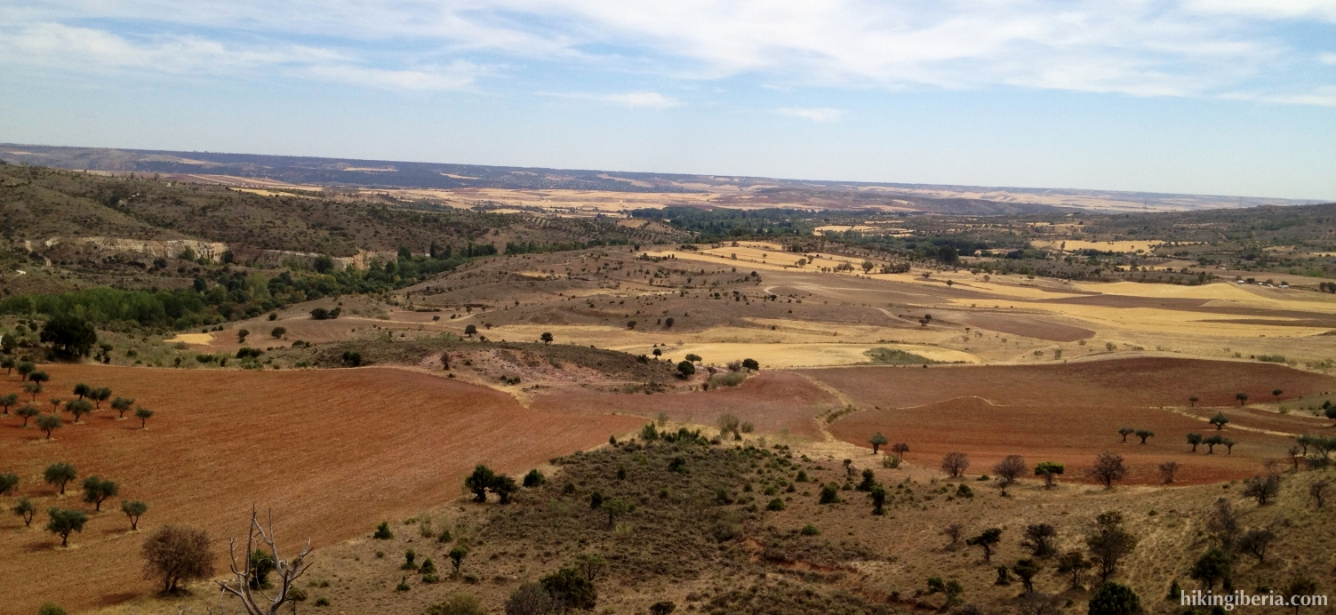
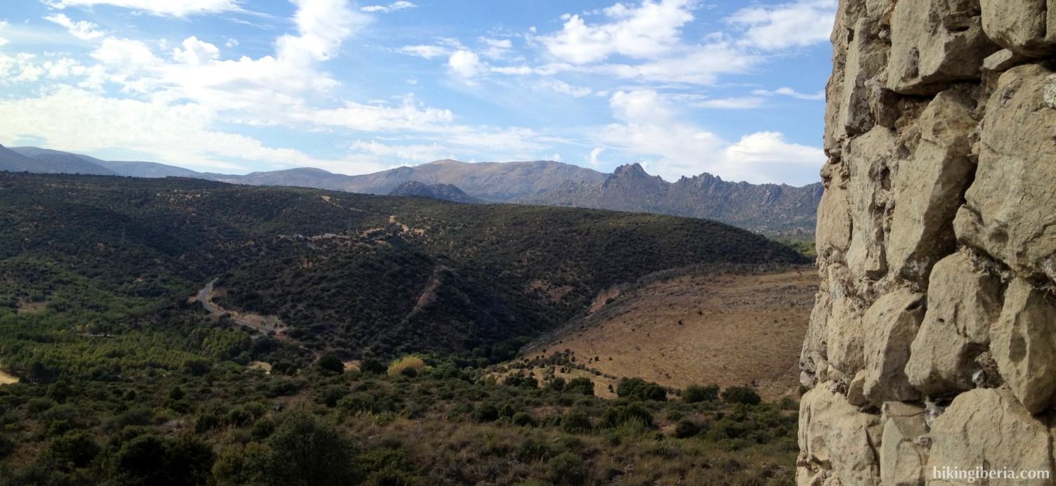
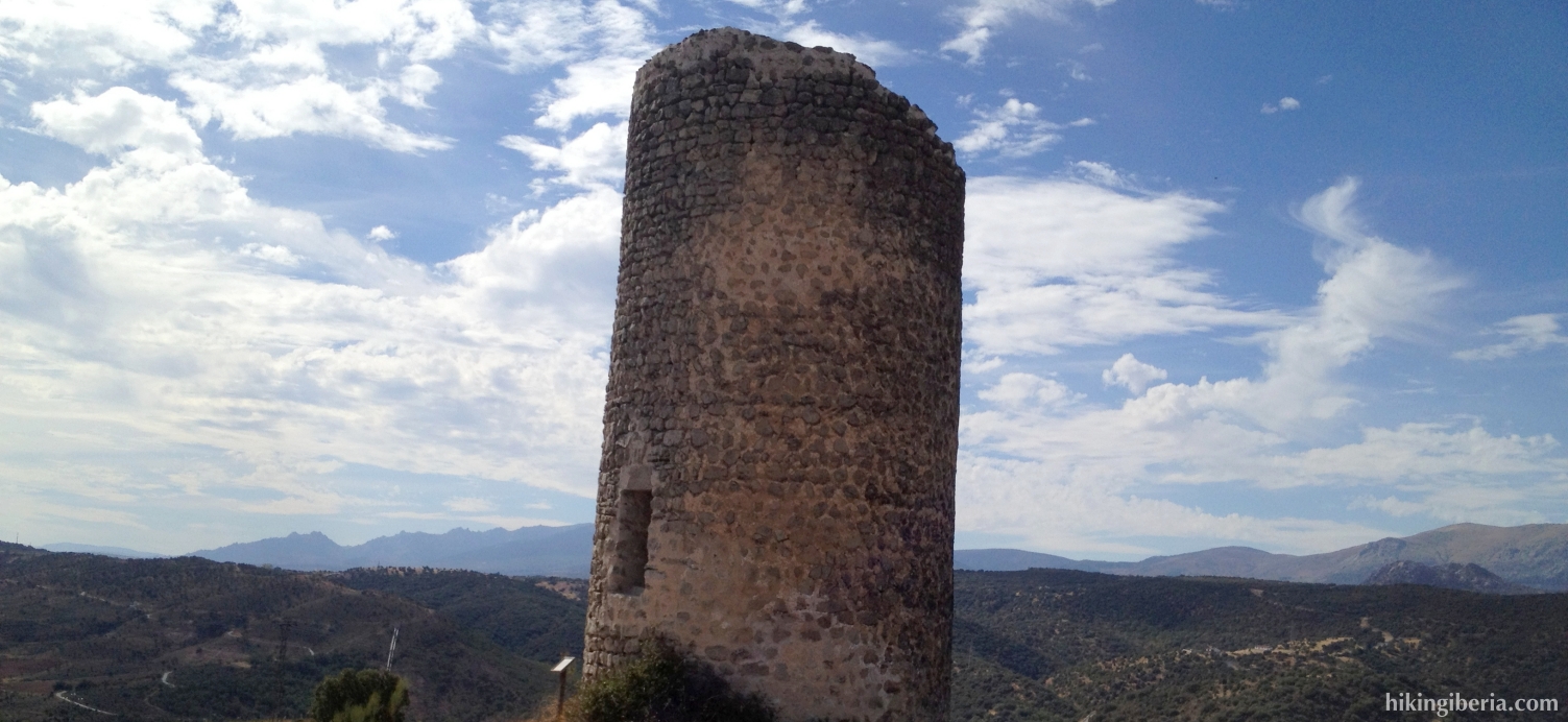
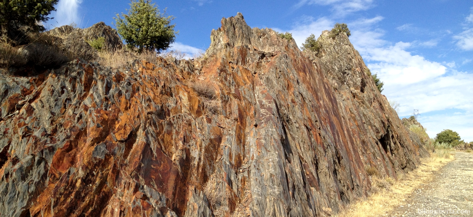
On this route we walk through the lower part of the Sierra Norte de Madrid, but because of the course of the route, we still need to cover some difference in altitude. On the first part we get past the remarkable rock formations of the Cuchilleras. Next we walk through a long road past the installations of Canal de Isabel II to Redueñas. From here we continue the hike through wide arable land. Before we finish the hike, we walk past the historical Atalaya de Arrebatacapas, a tower that was constructed in the tenth century by the Muslims, from where we also have an interesting perspective on the Sierra de la Cabrera.
- From where we have parked the car (1), we further walk onto the dirt road. Initially we walk between the fences of a private property, on both sides of the road. Further on we get at a T-junction (2), where we turn right, towards the M-131, the road on which we drove before.
- We cross the asphalt road and take the trail at the other side of the road, just on the right (3) and further descend. Further on near a ruin of a small construction we take the trail most on the right straight on, parallel to a fence.
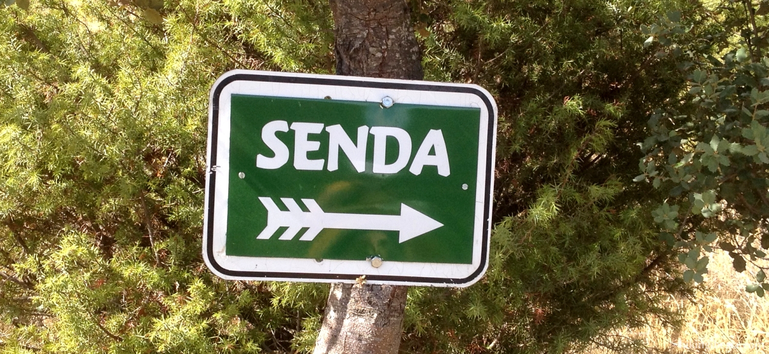
- Further on we get at a junction with the signpost “Senda”. Here we follow the trail most on the right. It is a small trail that descends quickly, initially via rocks and stones and later it turns into a forest trail. We now cross a stream, the Arroyo de San Vicente (5). Behind it we have to keep left to climb out of the valley again.
- After we have climbed out of the valley, in a bend, a white-red marked path joins our trail from the right (6). We keep left here. We keep following this trail and ignore various side paths, until we reach a T-junction (7). Here we turn right. We reach a picnic area. We keep right, turn left onto a dirt road and follow it until we reach an asphalt road (8) - the M-124 – where we turn left.
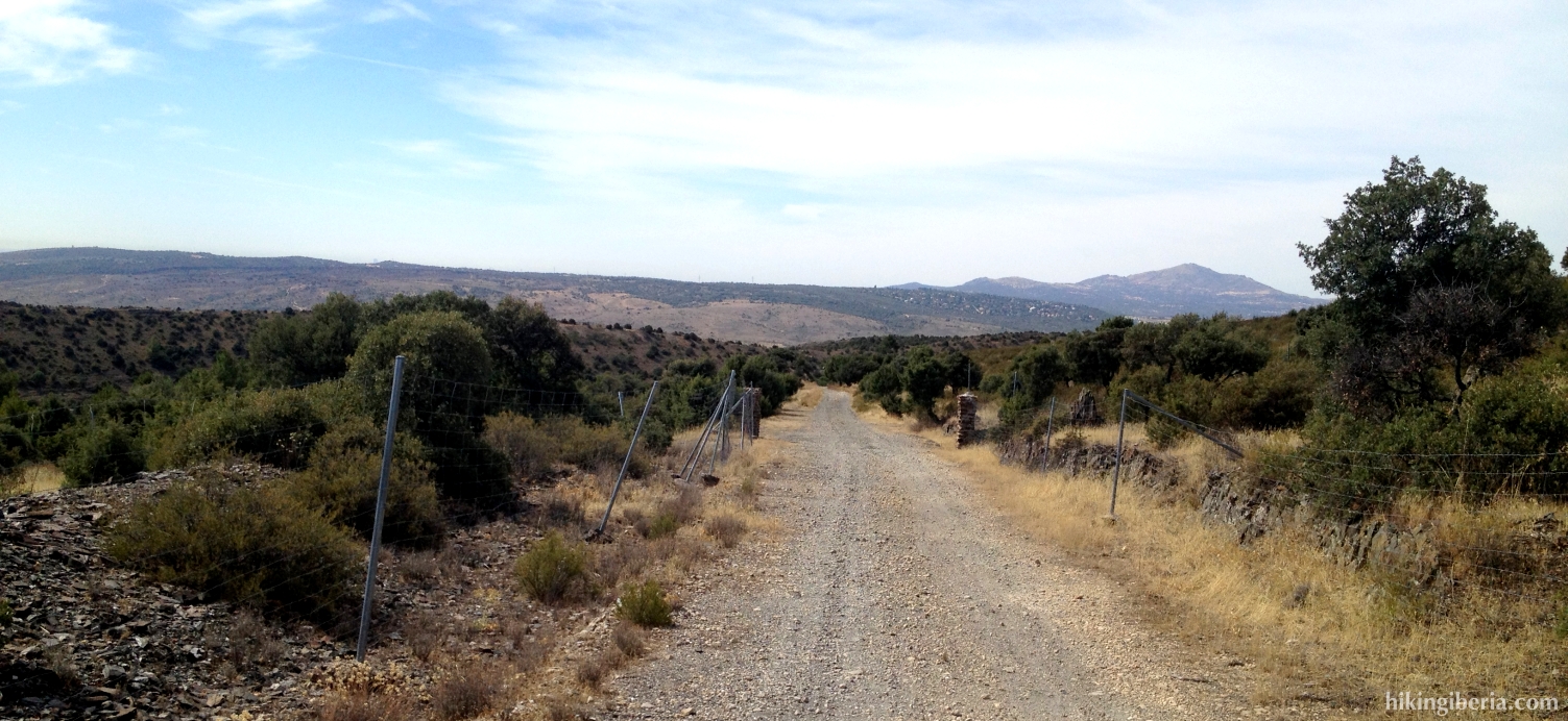
- We follow this road for a while, pass under a water pipe and at km. 5 we turn right onto a paved road (9), which is closed with a green fence. This road zigzags uphill and we can take a shortcut at various spots through the intermediate trails. When we stay in front of a steep slope, towards a construction of the waterworks of Canal de Isabel II (10), we should not further ascend, but keep left and stay on the road.
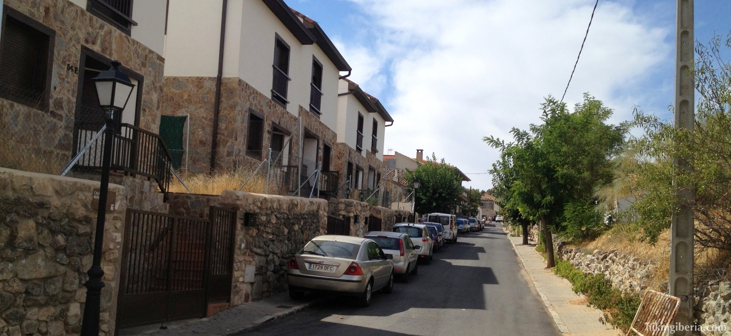
- We follow this road, from where we have a nice view over the valley, for quite some time. Eventually we reach the asphalt road M-911 (11), where we turn left towards Redueña. We enter the valley through the Calle Mayor, which we follow until past the church. At the crossing behind the church (12) we keep left/straight on (thus not completely to the left), which makes us leave the village. At the cemetery the road becomes unpaved again.
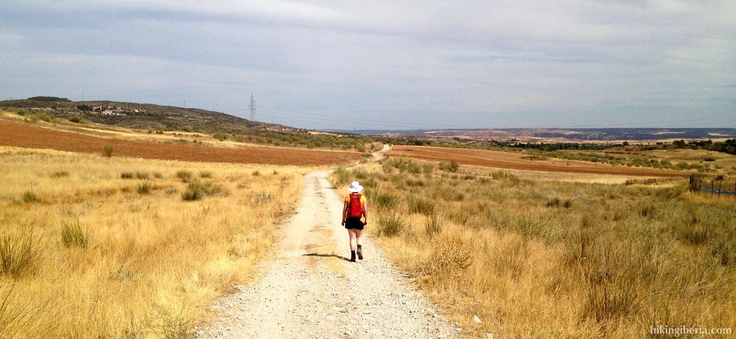
- We follow this road until the end and ignore various side-paths. We now reach the asphalt road M-124 again, where we turn right. We now cross the bridge and continue the path at the other side of the road. Here we take the dirt road to the right.
- Further on in a bend on the left we see a path (14). We keep right/straight on the dirt road. We follow this road until we reach a big building of the water works of Canal de Isabel II (15), where we turn left.
- When we have the tower of the Atalaya de Arrebatacapas on our right hand (16), we turn right, crossing the field, towards this tower. We cross the path that we left before and keep right for a short stretch until we get at a fence of Canal de Isabel II. Here we turn left and walk parallel to the fence.
- We now get at the same path again (17) and can see the tower lie near to us, just in front. We take the trail on the last stretch of the slope towards the Atalaya (18).
- Past the Atalaya at the right we see a wide path in front us, which unfortunately has been closed with a big fence. The easiest is to walk a short stretch to the left, where we can go past the fence. We now follow this path and turn right at a junction. At the next junction we turn left.
- We now reach a fence again, and there is no other way past it then climbing over it. Behind the fence we turn left and at the asphalt road left again (19). We now walk on the M-131 again, where further on at the right we reach the trail of the way out again (2), which we follow back until the car.