NL
NL  IT
IT  DE
DE  ES
ES  EN
EN 
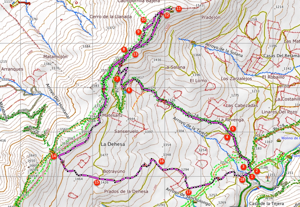
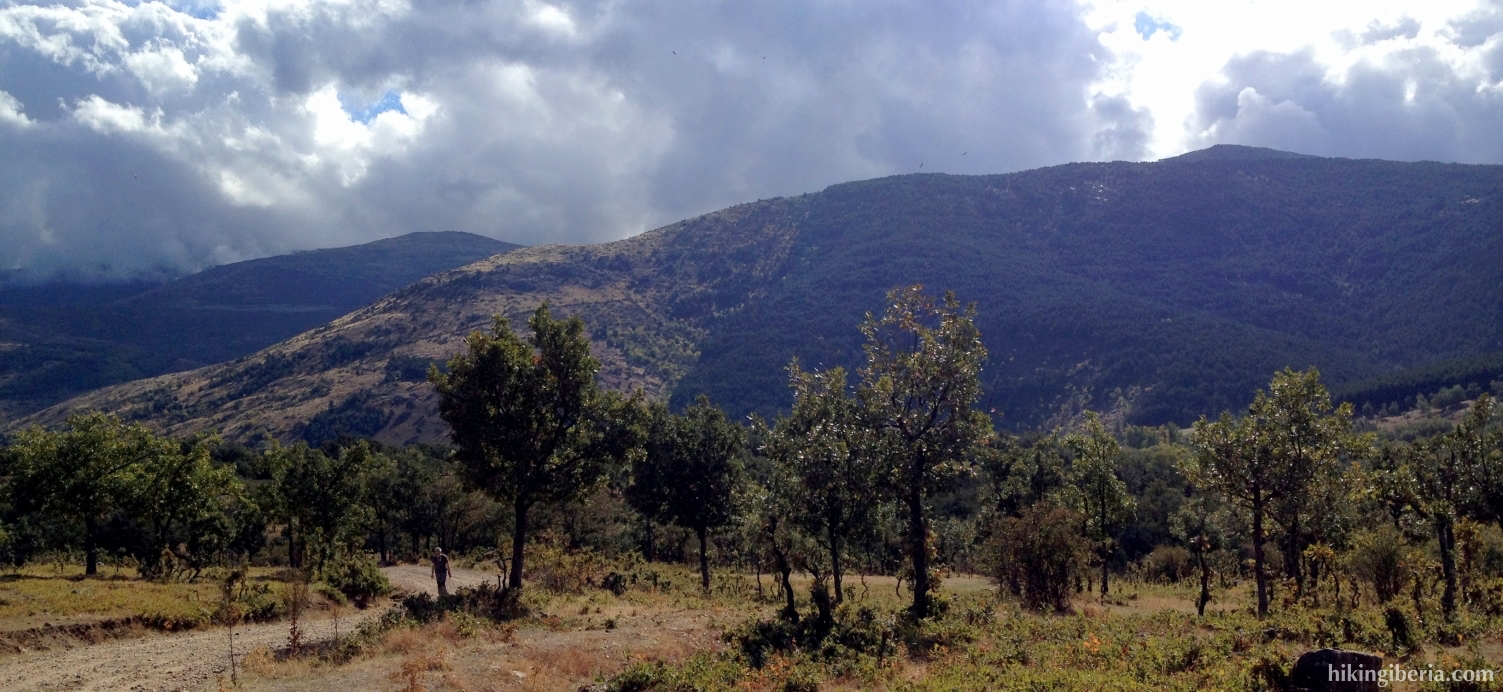
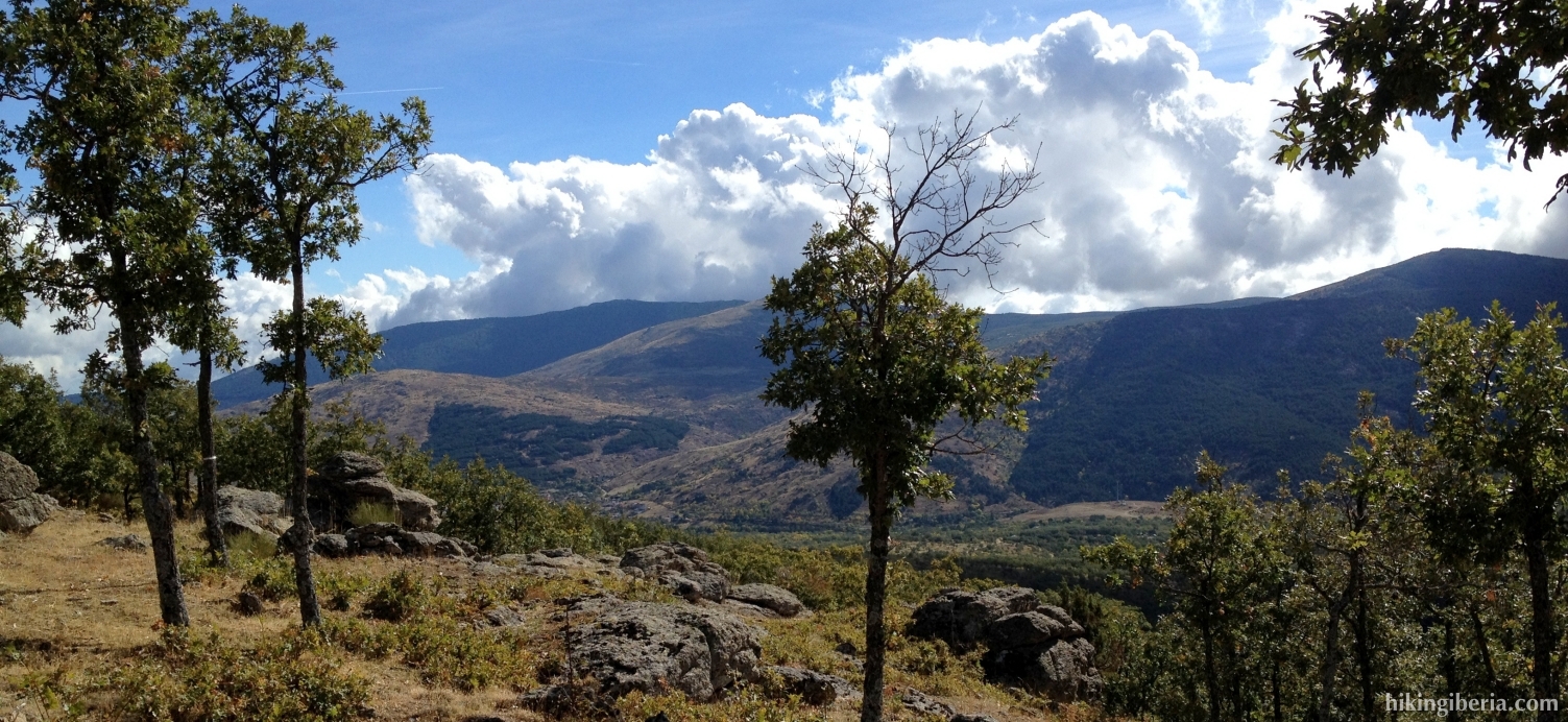
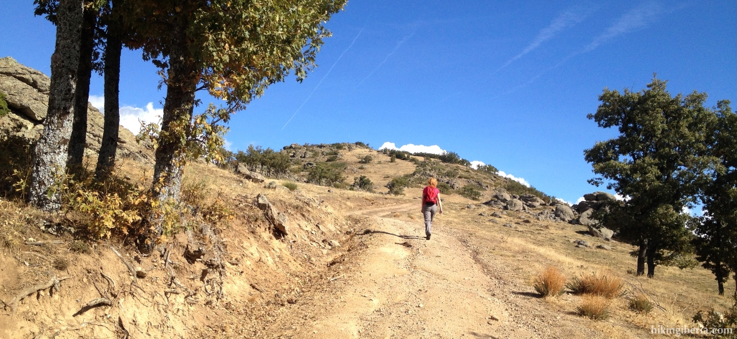
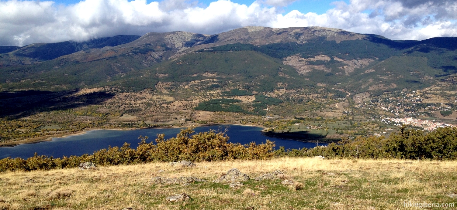
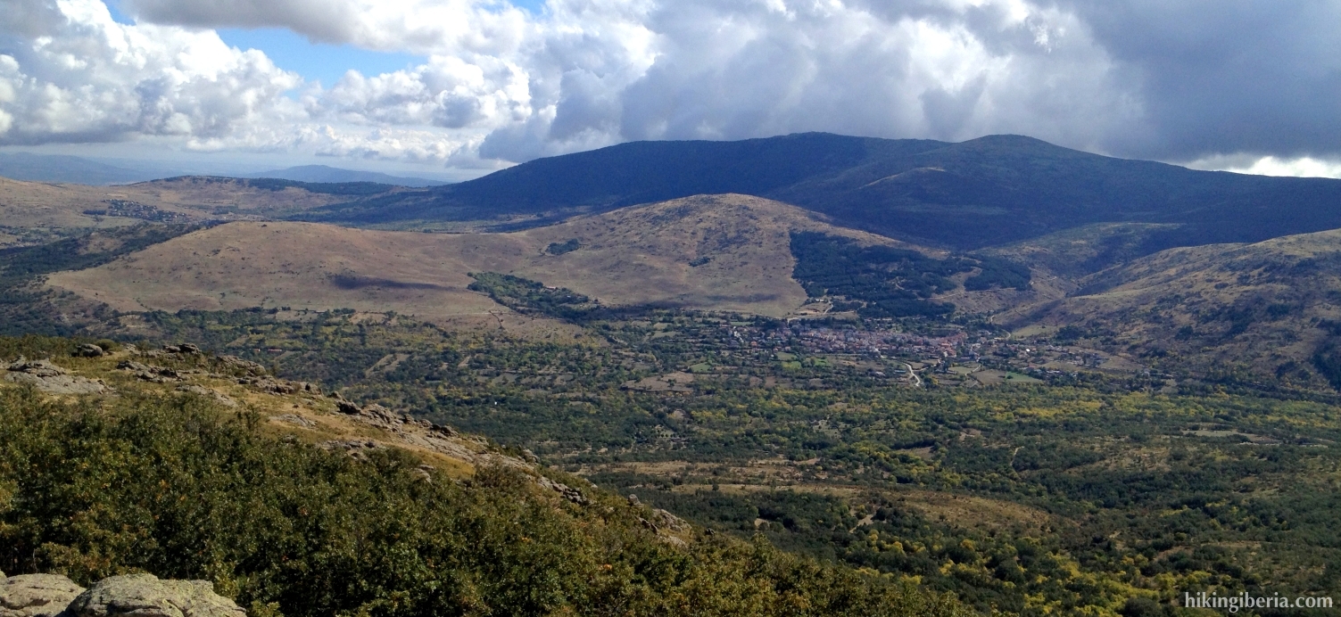
This hike takes us to the Cachiporrilla, the most northern peak of the Altos del Hontanar, a mountain range situated between the Valley of Lozoya and the Valley of Canencia. From this small peak, to which we walk without too much effort, we have a nice wide view over the Reservoir of Pinilla and the north of the Sierra of Madrid.
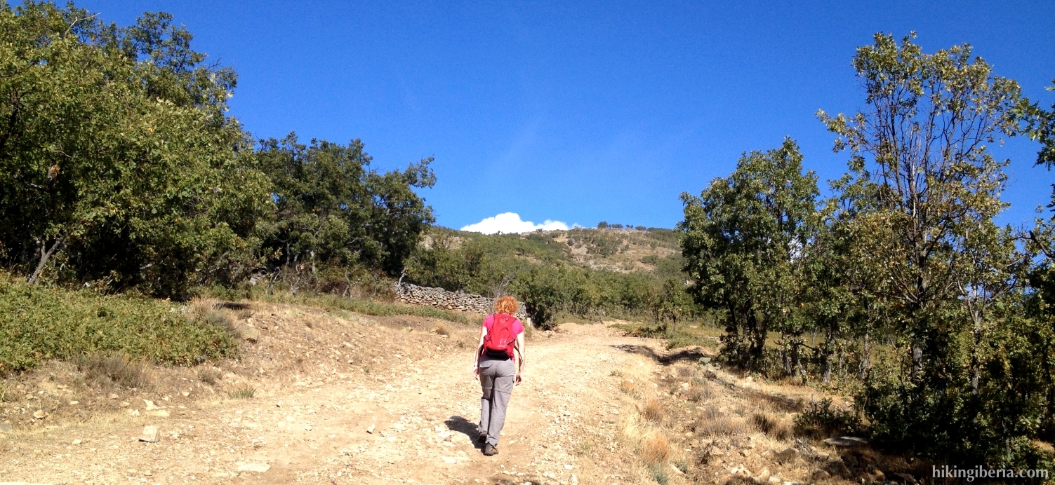


- From where we parked the car (1) we continue a while over the dirt road until the dirt road on the left (2), in which we turn. Next at the Y-junction next to the well (3) we keep left.
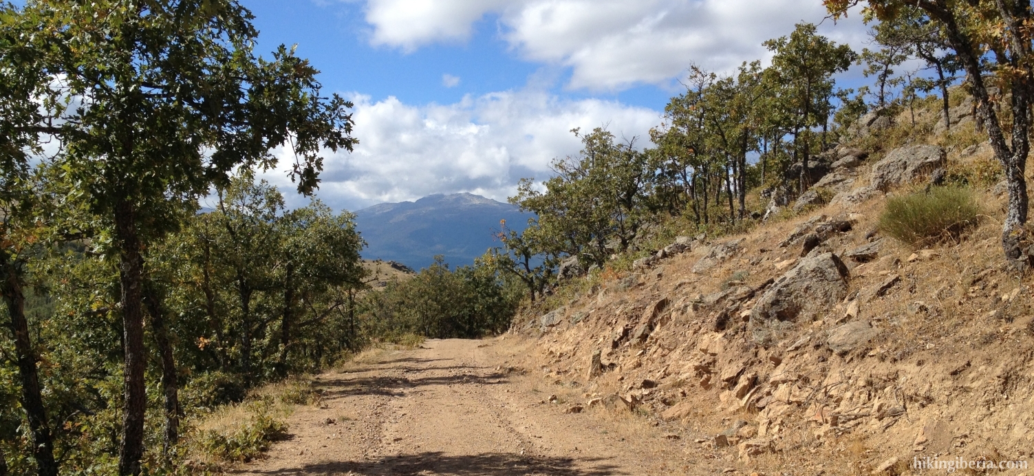
- We now follow this dirt road quite some time and ignore various side-trails. After quite some time - at about 1,240 metres of altitude (4) – a trail joins from the left. We go straight on here. A bit further on a narrower trail separates at the right, but we continue to the left, following the bend (5). This is indicated with a post of the droveway (vía pecuaria) with a red arrow on it.
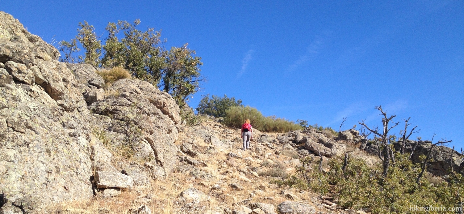
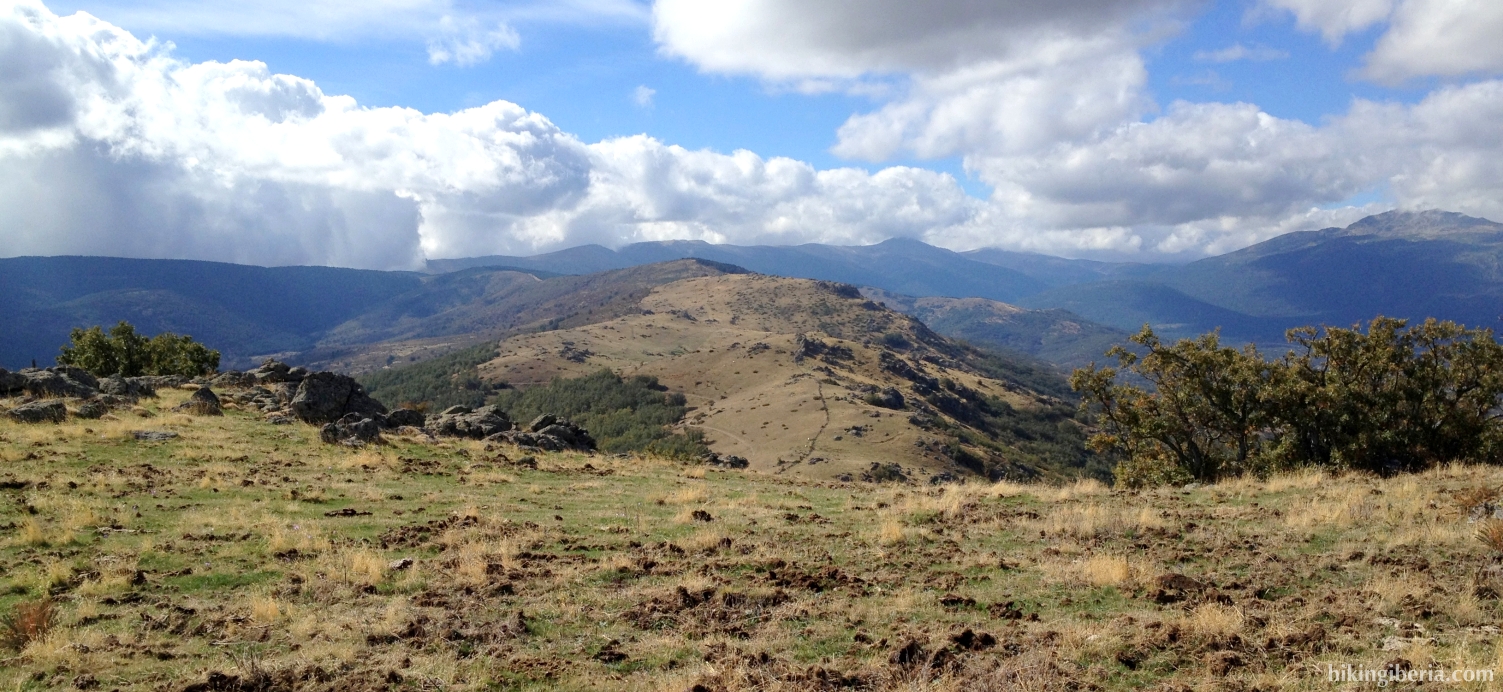
- Much further on the trail divides in a bend (6). Here we turn to the right following the bend further uphill. At the next junction (7) we ignore the post of the droveway and turn right, further uphill, onto a somewhat narrower trail, with the Cachiporilla now clearly in front of us.
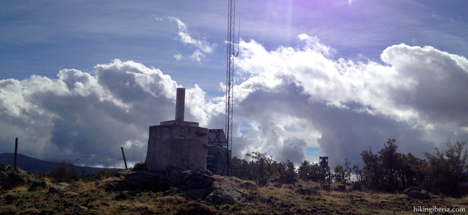
- Further on, just before the wide trail turns to the right with the bend (8), we keep left, towards a narrow trail that lies between the wide trail and the fencing. This trail now ascends towards the Cachiporilla. Just before this peak we go through the fencing via some rocks (9) and continue the last metres to the peak (10) at the other side (10).
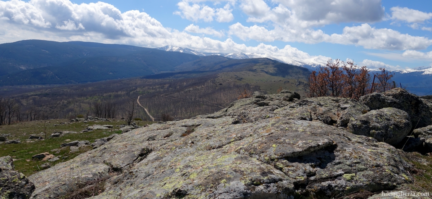
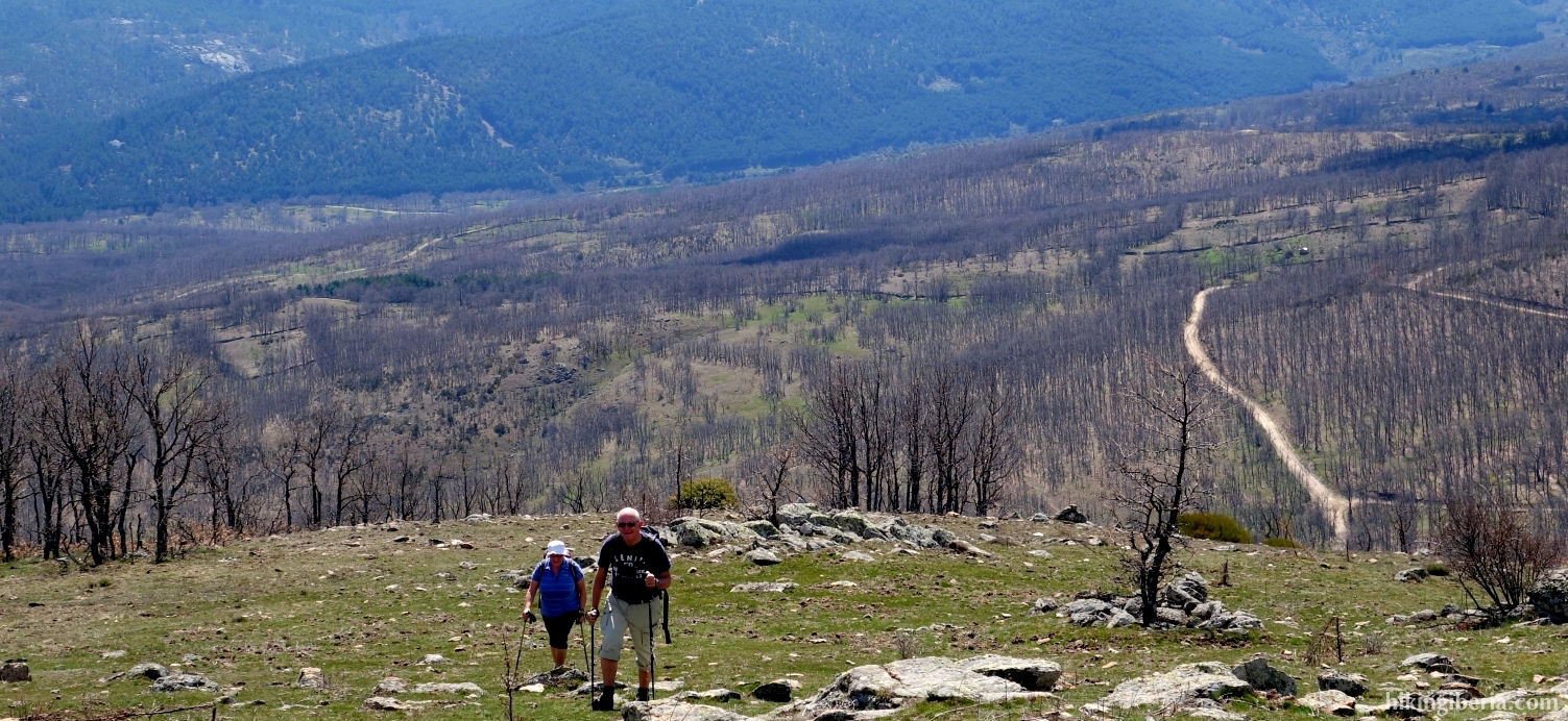
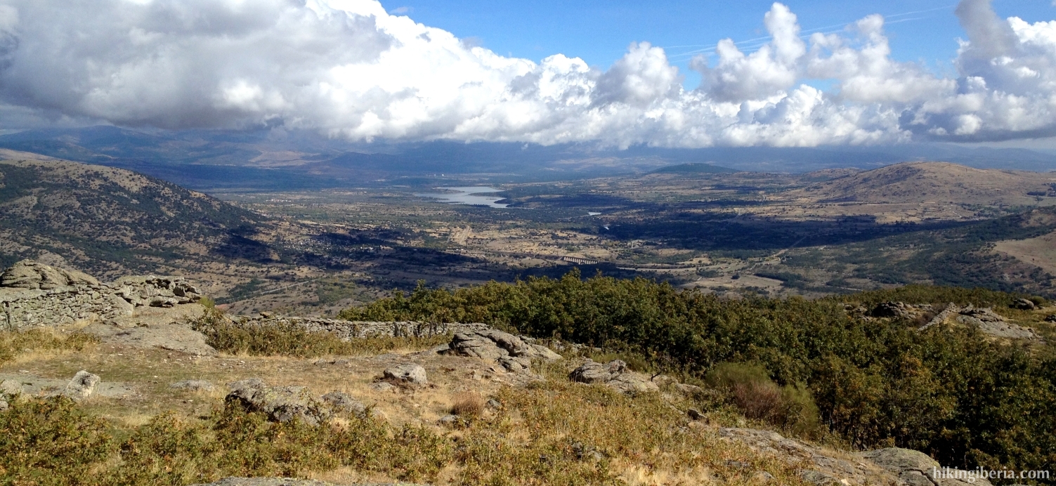
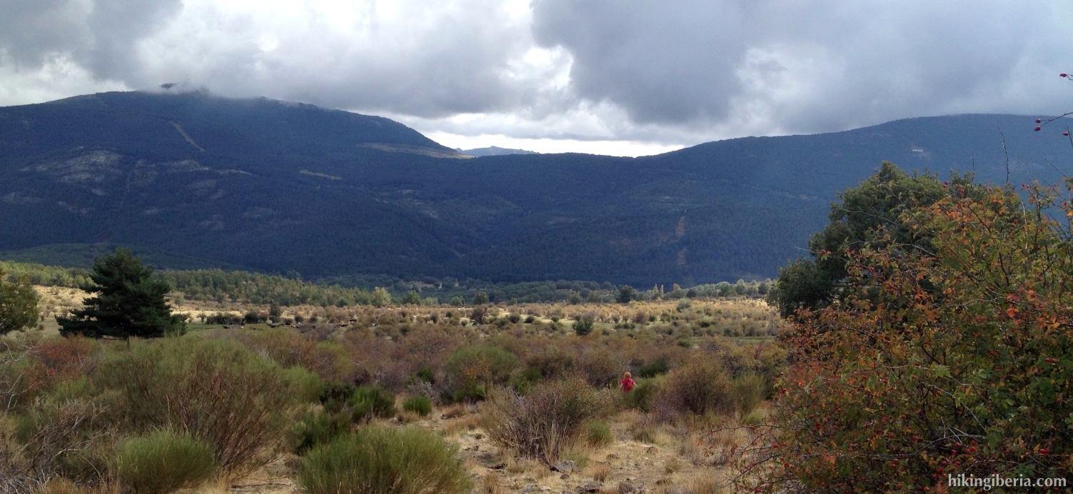
- We return to the fencing (9) and now turn left. We now follow the trail towards the small building at the end of the crest (11), where we have a beautiful view over the northern part of the Sierra of Madrid. We now return and a bit further on keep left (12), taking the wider lower trail.
- At the point where we before left this wide path (13) we now turn right, to the same narrow trail, but now in the other direction.
- We now follow this trail quite some time. We ignore a trail on the left downhill and further on go through a brick wall. From here on the trail becomes much narrower.
- At about 1,550 metres we reach the pass Collado del Hontanar (14). At the right we see a passage through the wall, but we turn left onto a narrow trail downhill. Further on the trail is no longer visible and we can only see some tracks formed by the cattle. Keep a bit to the left here but keep descending. Further on below at the left you can observe a bend of a trail; walk towards it.
- Once at the bend of this trail (15) we turn right onto this trail. This is again indicated with a post of the droveway. We now follow this trail all the time and ignore a number of side-trails.
- Further on at a Y-junction (16) we turn left and again further on we reach another path where we turn left (17), again following the post of the droveway. We now follow this path all the time and ignore various side-trails. This eventually brings us to the bend of the asphalt road M-629 (18). We go through the gate, turn left and go a short stretch over the road and then left onto the dirt road, which brings us back to the car (1).