NL
NL  IT
IT  DE
DE  ES
ES  EN
EN 
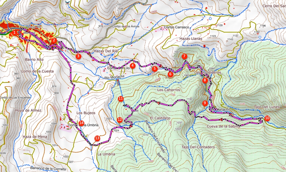
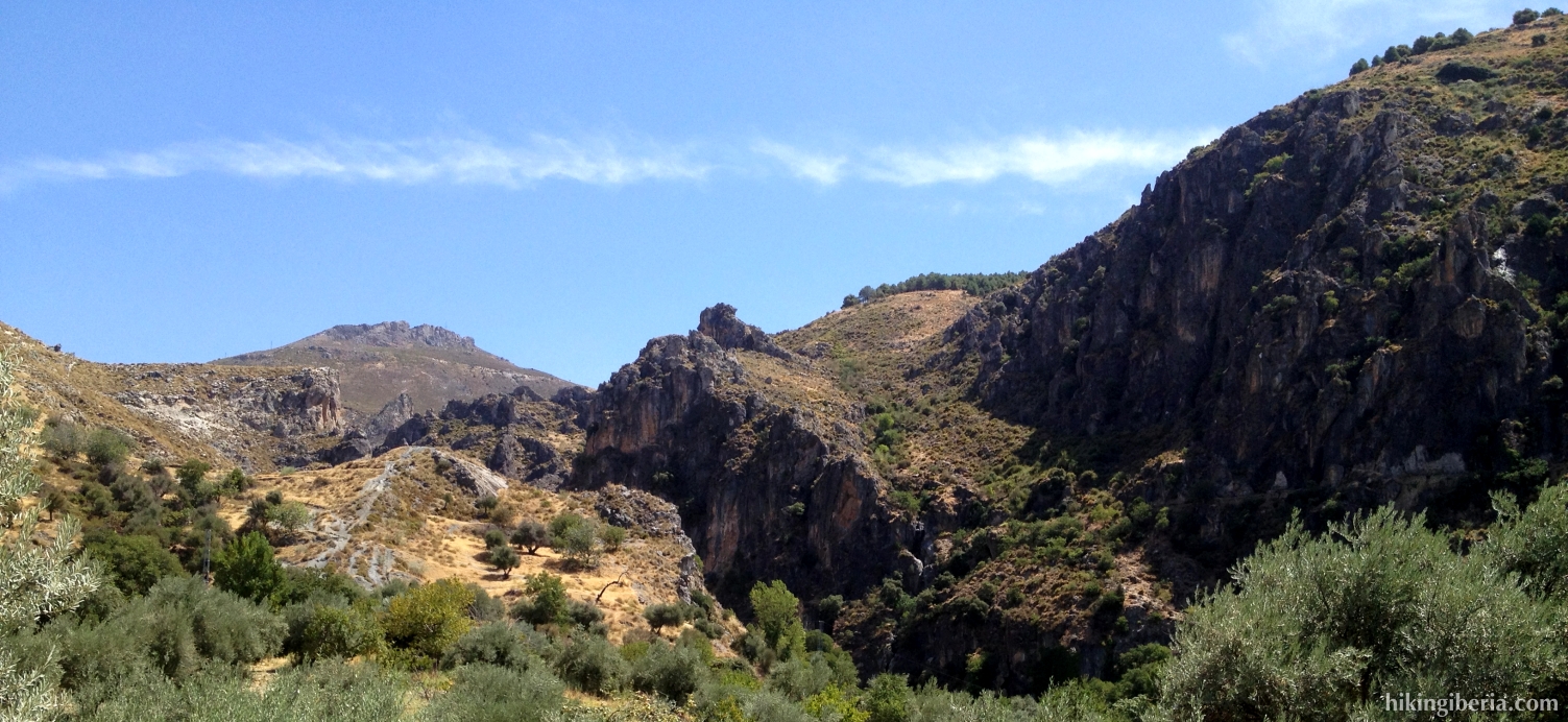
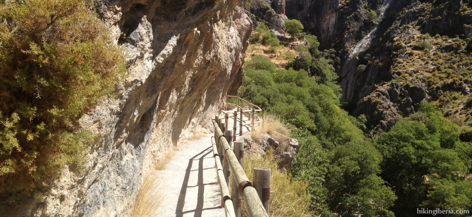
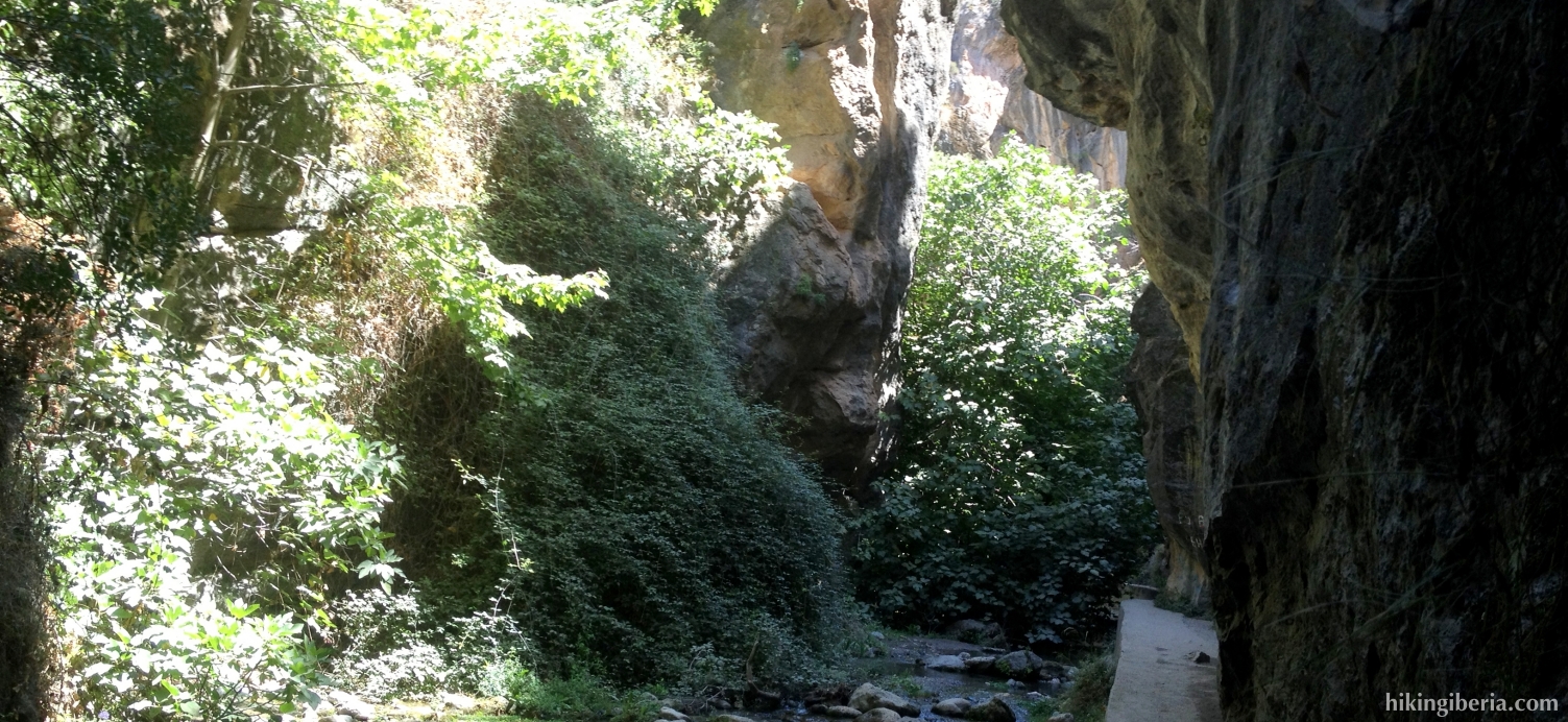
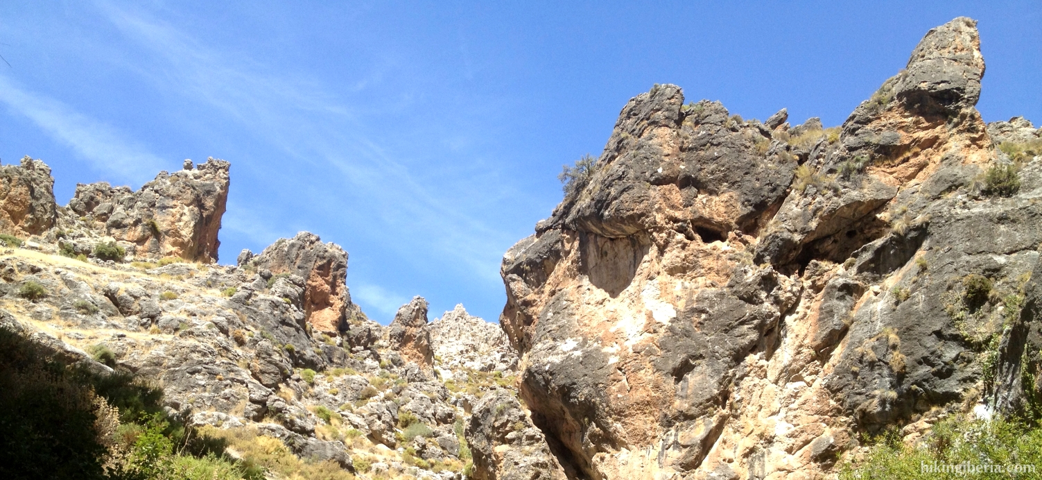
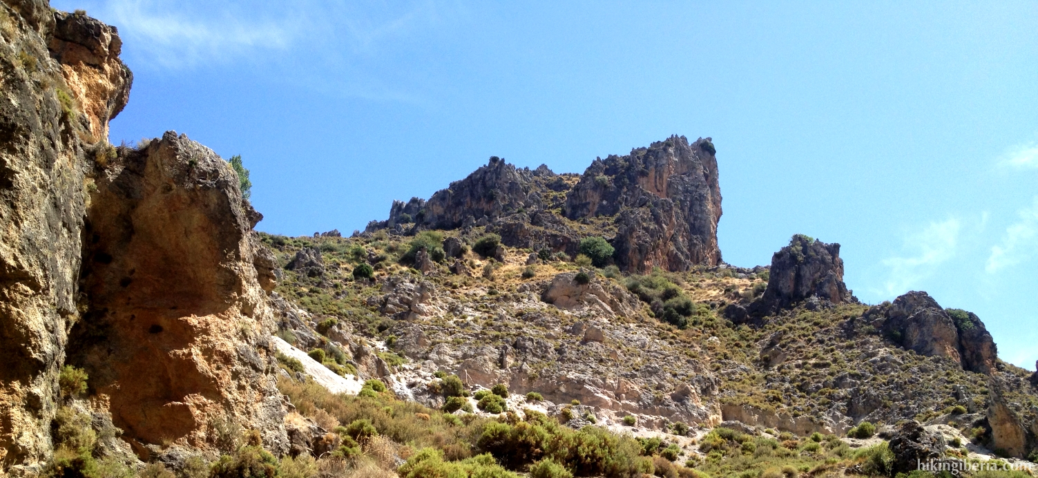
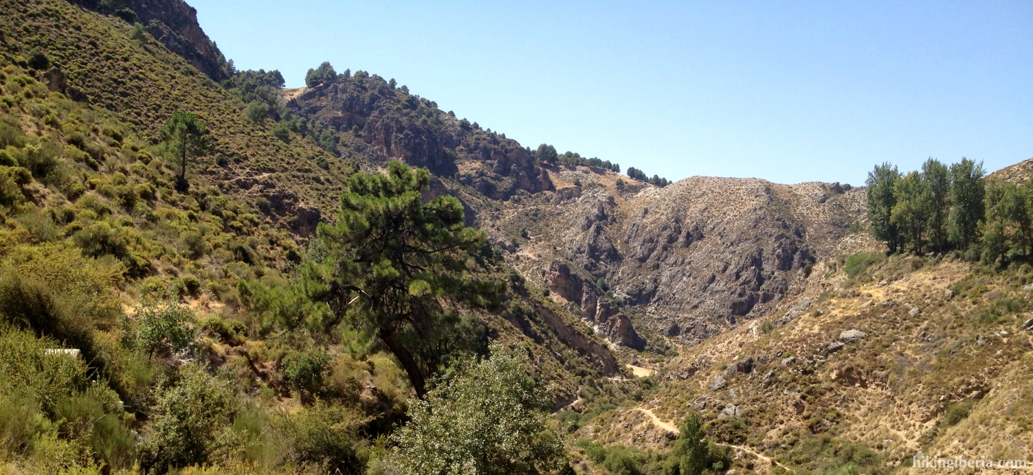
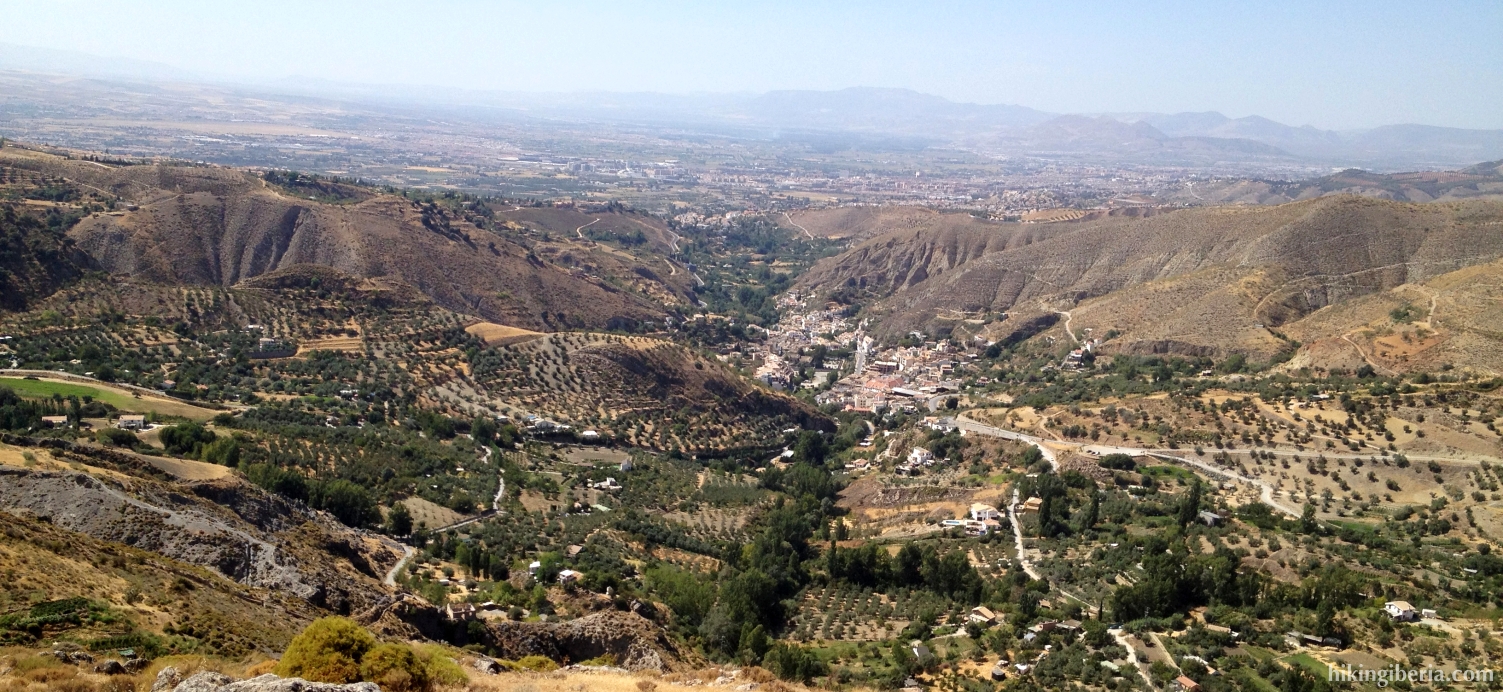
The hike takes us through the gorge of the river Monachil, during a part though a small space along steep cliff faces, which causes a spectacular experience. This first part of the hike is very popular, also because of the proximity of the city of Granada. Once out of the gorge we return to Monachil via the higher situated limestone rocks. From here we have a very nice view on Monachil and directly behind it Granada.

- Walk from the Plaza de la Alta (1) past the Parish of La Encarnación and turn left, into the Calle de Don Luis. At the end of this street we turn right and cross the bridge. Over the bridge we turn right again. We now walk along the River Monachil and leave the town. We enter the asphalt road and follow the bend to the left. After the bend we go up on the steep road on the right (2).
- We walk past a bar and get at an asphalt road. Do not enter this asphalt road though but turn right directly, onto a dirt road (3).
- Now we stay for quite some time on this road, where the direction is indicated with “Los Cahorros”. After a while, at a bar/restaurant, the road ends (4). Here we turn right onto a narrow trail, which is indicated with “Los Cahorros de Monachil”.
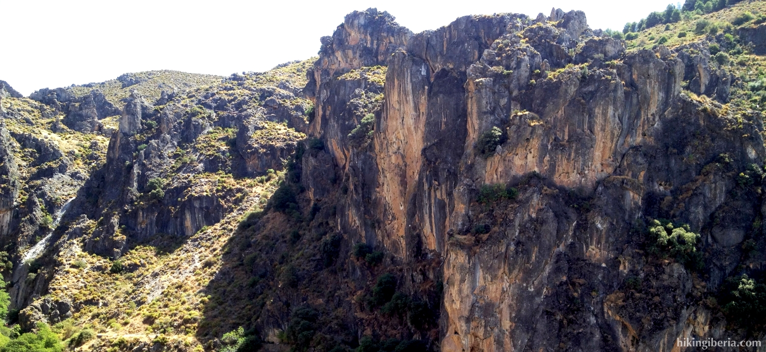
- Further on at a crossing of trails (5) we take the trail that is most on the left and goes uphill steeply and has been constructed with stairs on the rocks. We now reach the Era Renegrales (6), from where we have a nice view. We keep left again, into the gorge towards the Cahorros.
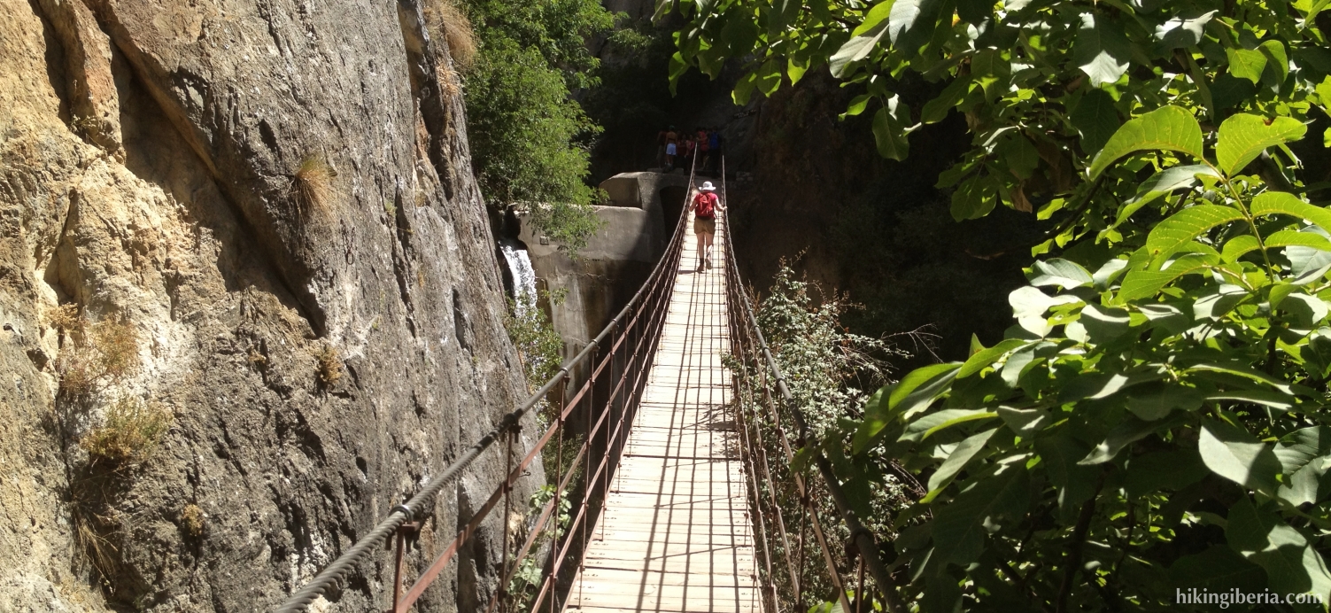
- We cross the hanging bridge (7) and now walk through a narrow space between the cliff faces of the Cahorros de Monachil. When we are out of this narrow space again, we cross the river via some stones (8). On the right we enter a wide trail until another hanging bridge on the right (9), which we cross. On the other side of it we turn left.
- We follow this trail for quite some time until a crossing of trails with various signposts (10), where we turn right uphill - indicated with “Cno. Solana” – and next to the right again, to the direction indicated with “Hoya Romero” and “La Sabina”.
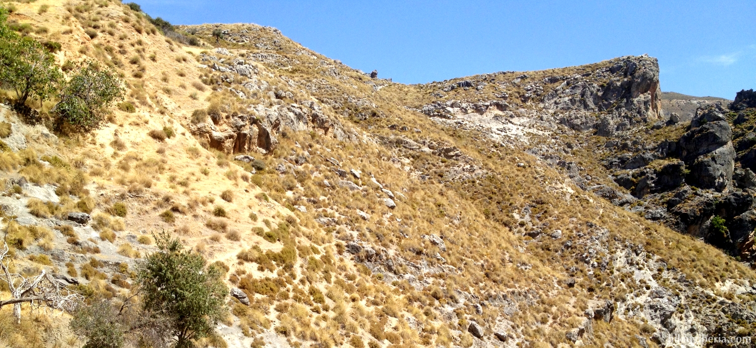
- We follow this trail for quite some time – at its end it ascends heavily with zigzag bends – until we reach the highest point (11), where we take the trail to the left. At the next Y-junction we keep right, towards “Camino Umbría”. We now zigzag steeply downhill until a crossing (12), where we keep left, through a fence.
- At the next crossing (13) we go straight on and follow the signpost “Camino Umbría”. At the next junction on the left (14) we also go straight on. We get past various side trails that we all ignore, staying on the road that later turns into a paved road and takes us back to Monachil.
- Via this road we reach again the river Monachil. We walk along the river to eventually return to the Plaza de la Alta (1).