NL
NL  IT
IT  DE
DE  ES
ES  EN
EN 
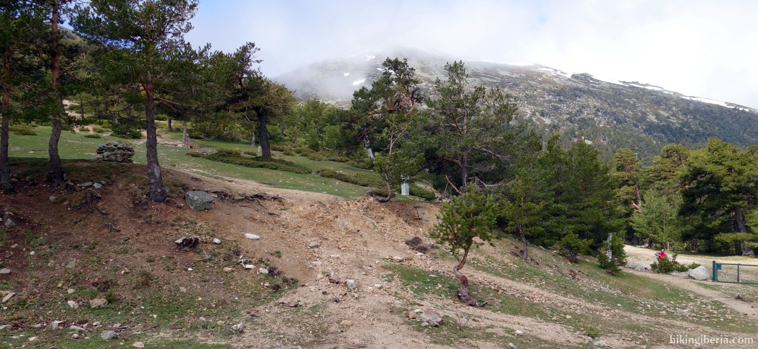
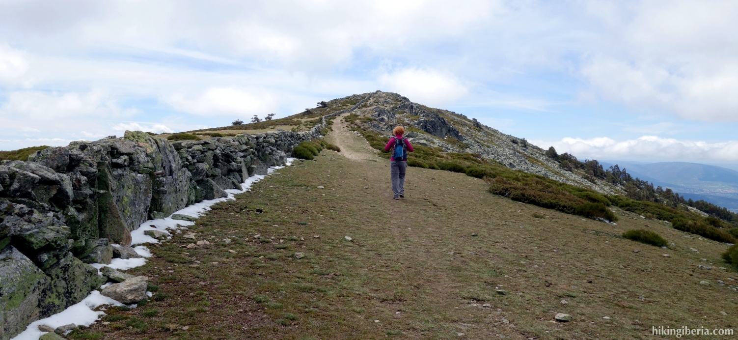
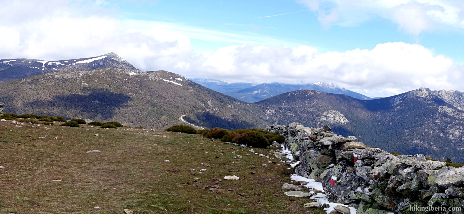
This hike in the neighbourhood of Cercedilla takes us to the Collado de Marichiva, from where we take the GR-10 via a crest that brings us to the Cerro Peña del Águila, at about 2,000 metres. From this crest that is nicely located on a central spot in the Sierra de Guadarrama, we have a lovely view: on the right on the valley of the River Moros, on the left on the valley of the Fuenfría and further away on the higher peaks of the surrounding mountains.

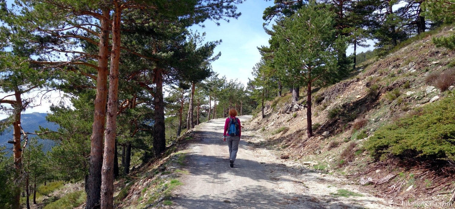
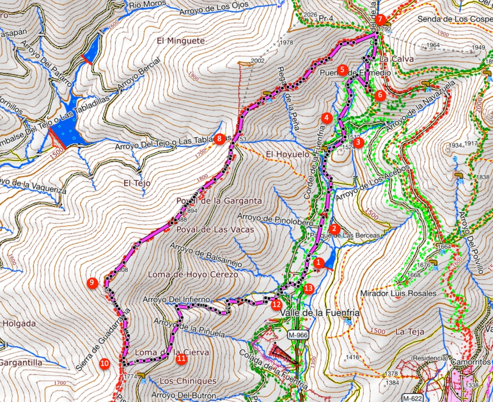
- From the car park at the Casa Cirilo (1) we walk a bit further down the asphalt road until we get at a barrier (2). We follow the partially paved/partially dirt road behind this barrier.
- After we have walked for a while on this broad Roman path, we reach an open space between the trees (3). Here we follow the yellow arrow, keep left in a slanting direction, cross the road and continue the slightly stony path on the other side of the road. A bit further on the marking becomes white-yellow.
- After a short ascent, this path ends at a T-junction (4). Here we turn right and start a steep ascent. Through this path, we reach the bridge "Puente de Enmedio" (5). Here it is possible to continue straight on through a narrow trail, but the easiest is to cross the bridge and then further follow the path that in a bend turns left uphill (6). This path is marked with green dots.
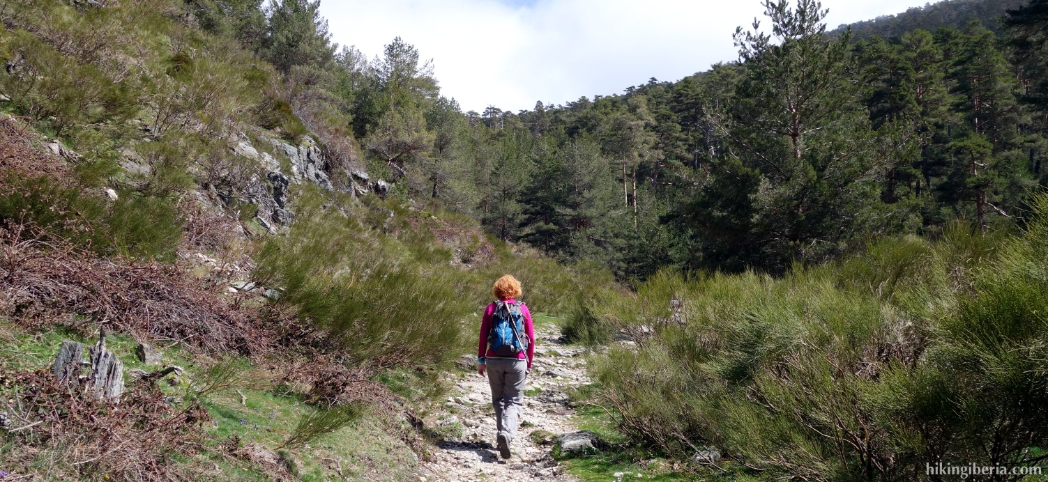
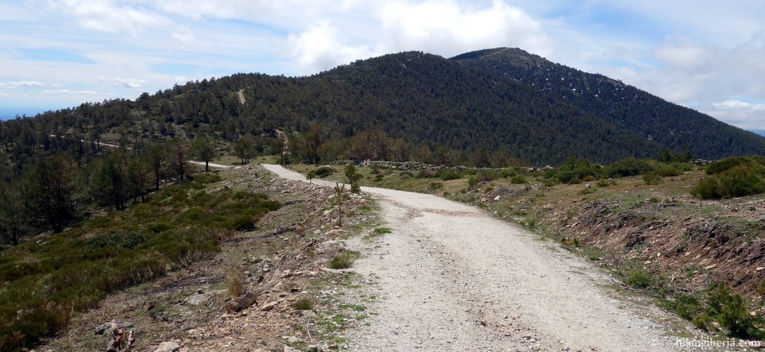
- This way we eventually reach the Puerto de La Fuenfría (7). Here we take the wide path on the left, onto the white-red marked GR-10. Via this path after some walking we reach the Collado de Marichiva (8), where we go through a gate on the right and keep following the white-red marking of the GR-10.
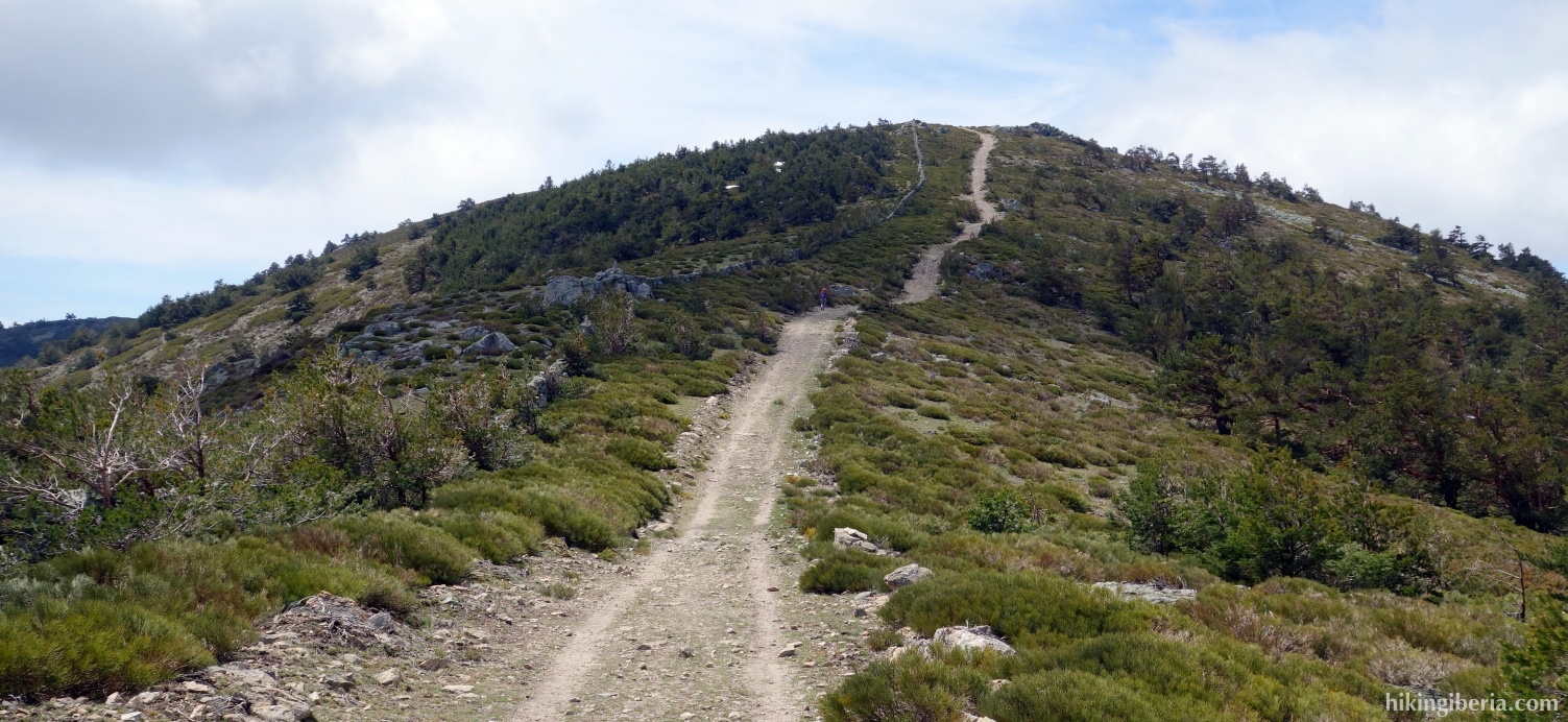
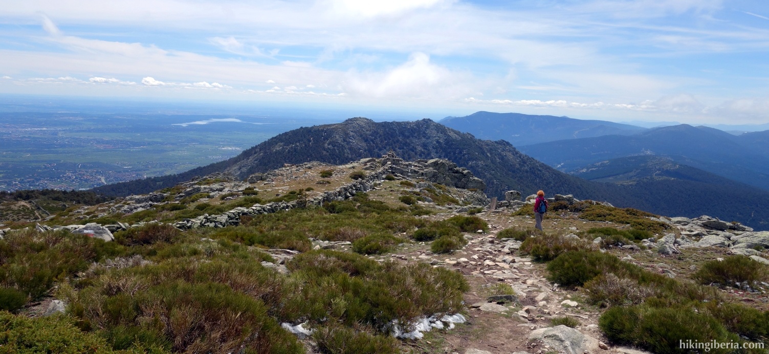
- This trail we follow until the peak, the Cerro Peña del Águila (9). A bit past the top we go over the low brick wall and continue the trail at the left side of the wall. We now continue over the crest with still the wall at our right hand and descend to about 1,780 metres (10). There at the right we see a gate in the wall and at the left a trail, which we enter, thus leaving the GR-10.
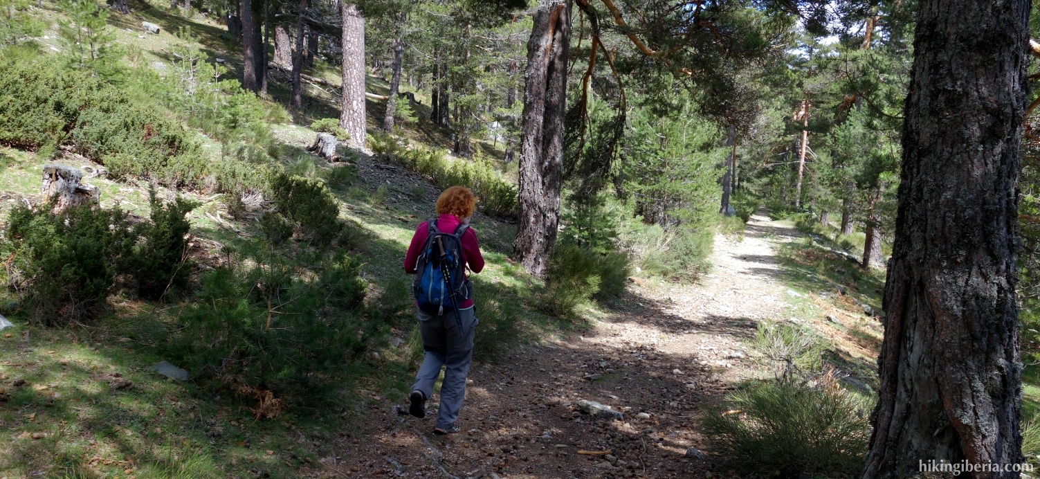
- After a good descent we reach the same dirt road (11) we already walked on the Collado de Marichiva. We cross this road and continue further to the left downhill onto a trail with red dots and a signpost “Vereda de la Piñuela”.
- After having followed this trail and the red dots for a while we reach a junction with on the left another trail (12). Both the trail straight on as well as the trail to the left are marked with red dots. We turn left here.
- Then almost immediately we turn right and then at a white-yellow cross we can somewhat lower see a gate with a passage. We go through it and reach a paved road where we turn left. A little further on at the right we see a narrow trail. This trail leads us to a wider path where we turn right again.
- This path takes us to an asphalt road (13). Here we turn left and walk the last stretch back to the car (1).