NL
NL  IT
IT  DE
DE  ES
ES  EN
EN 
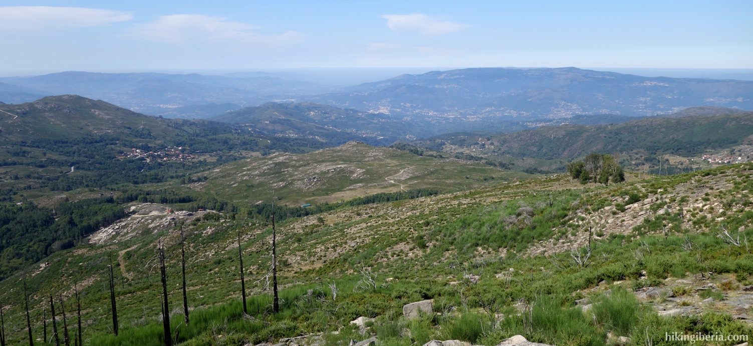
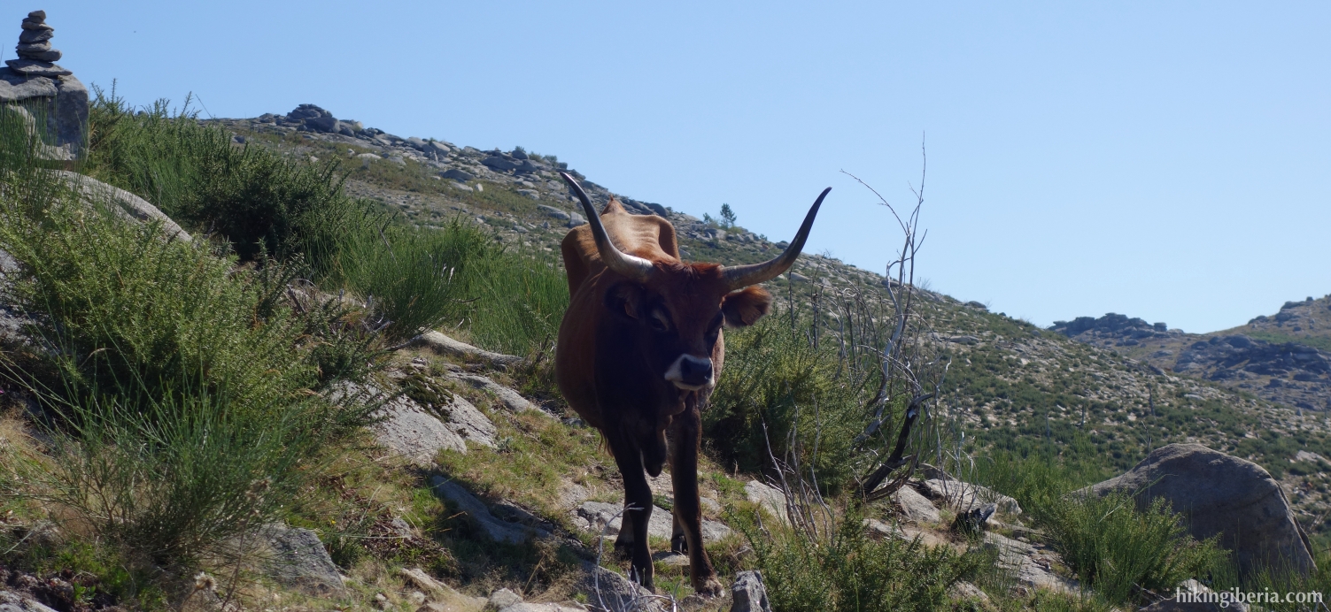
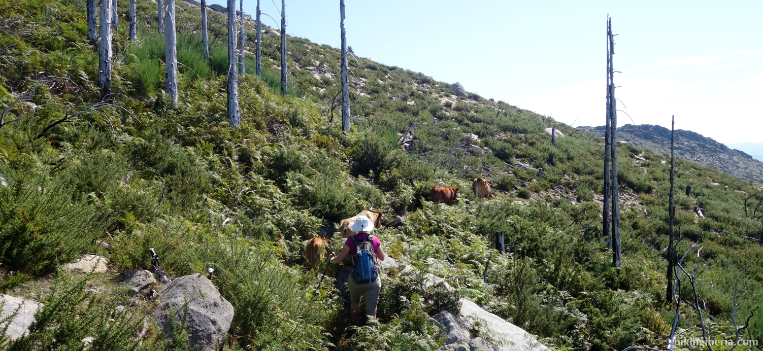
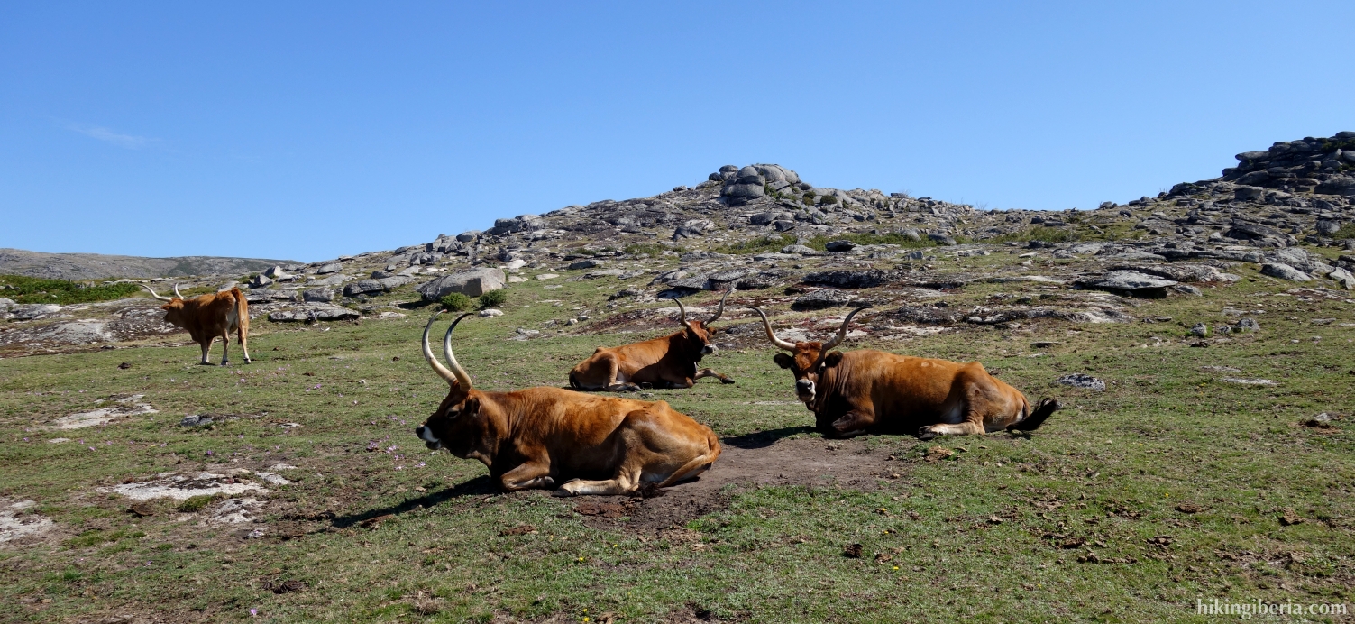
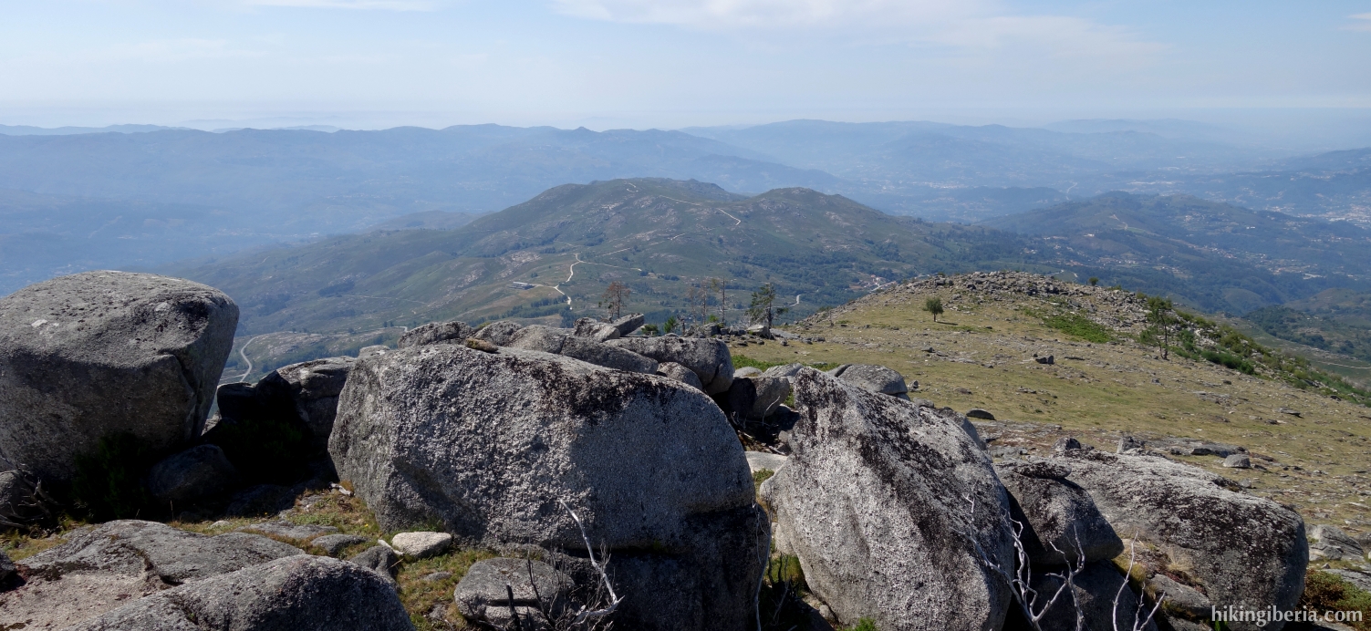
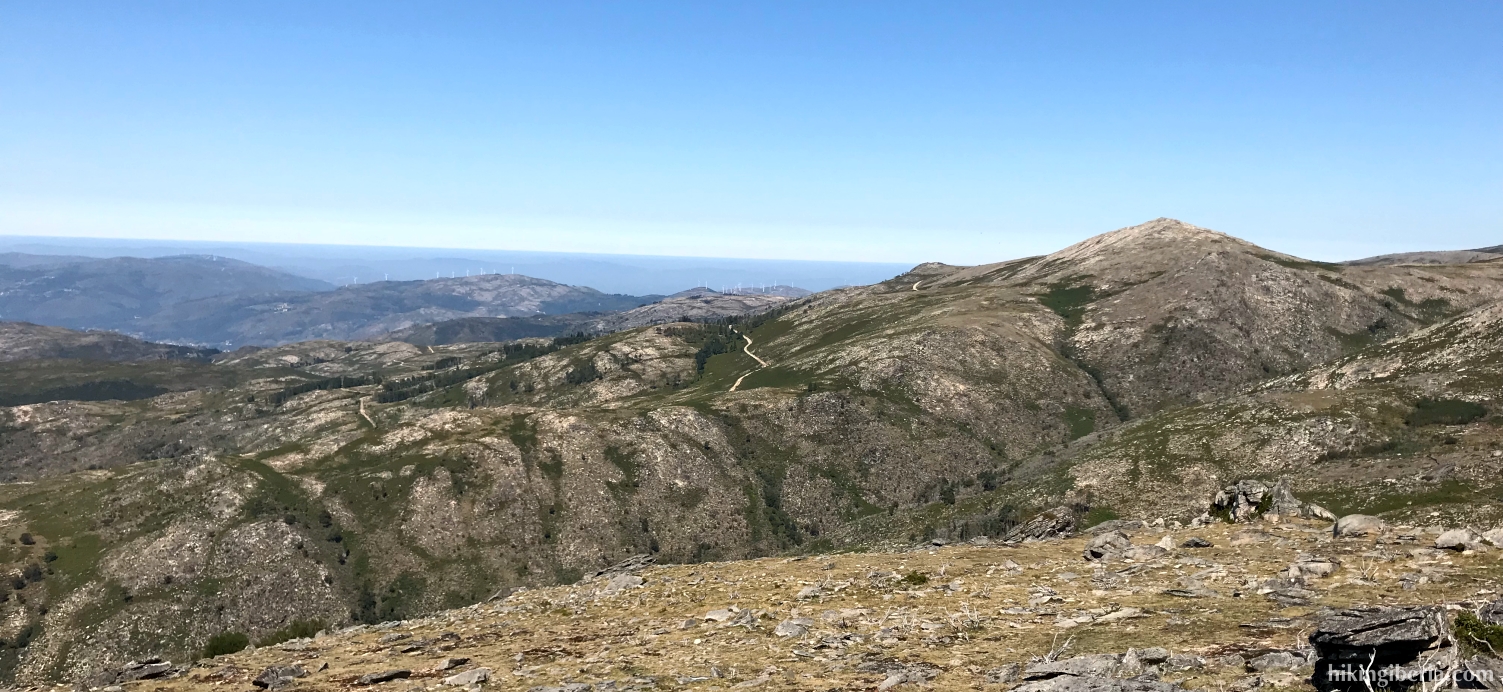
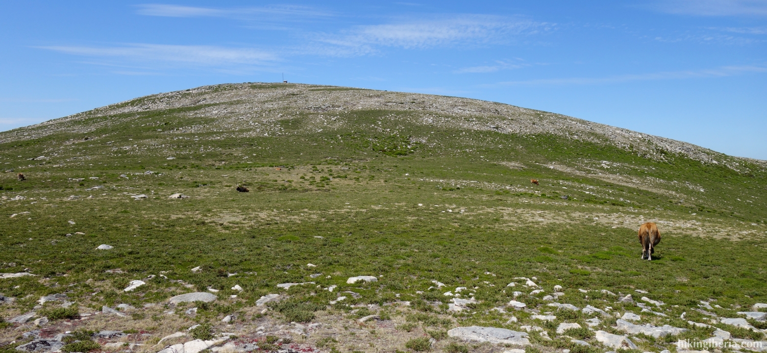
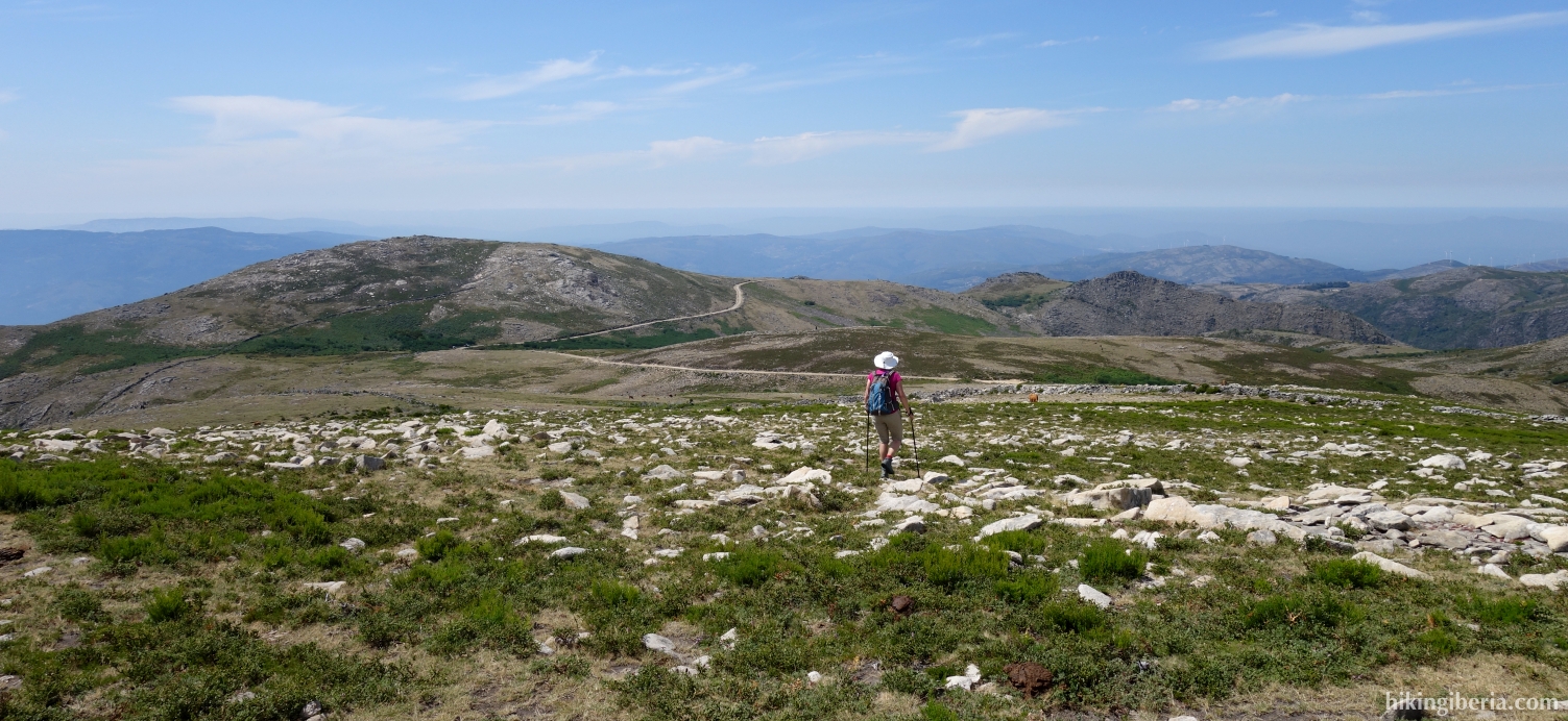
The Pedrada is a top of 1,416 metres altitude in Portugal's only national park, the Peneda-Gerês. The summit is the most prominent of the surroundings in the Serra do Soajo, which means that we obviously have a very wide view from this flat top. The way to the top is a very varied hike where there is a good chance that we will encounter Cachena cows, remarkable because of their big horns. Halfway through the route to the Pedrada we pass another, lower, top, the Guidao.

- From the parking lot at the campsite (1) we go the right on the stone path. Then we keep left twice and walk uphill on a short stretch via a meadow.
- At the top of this meadow we go directly to the right, onto a wide path (2). After five minutes, this wide path turns to the left (3), but we go straight ahead.
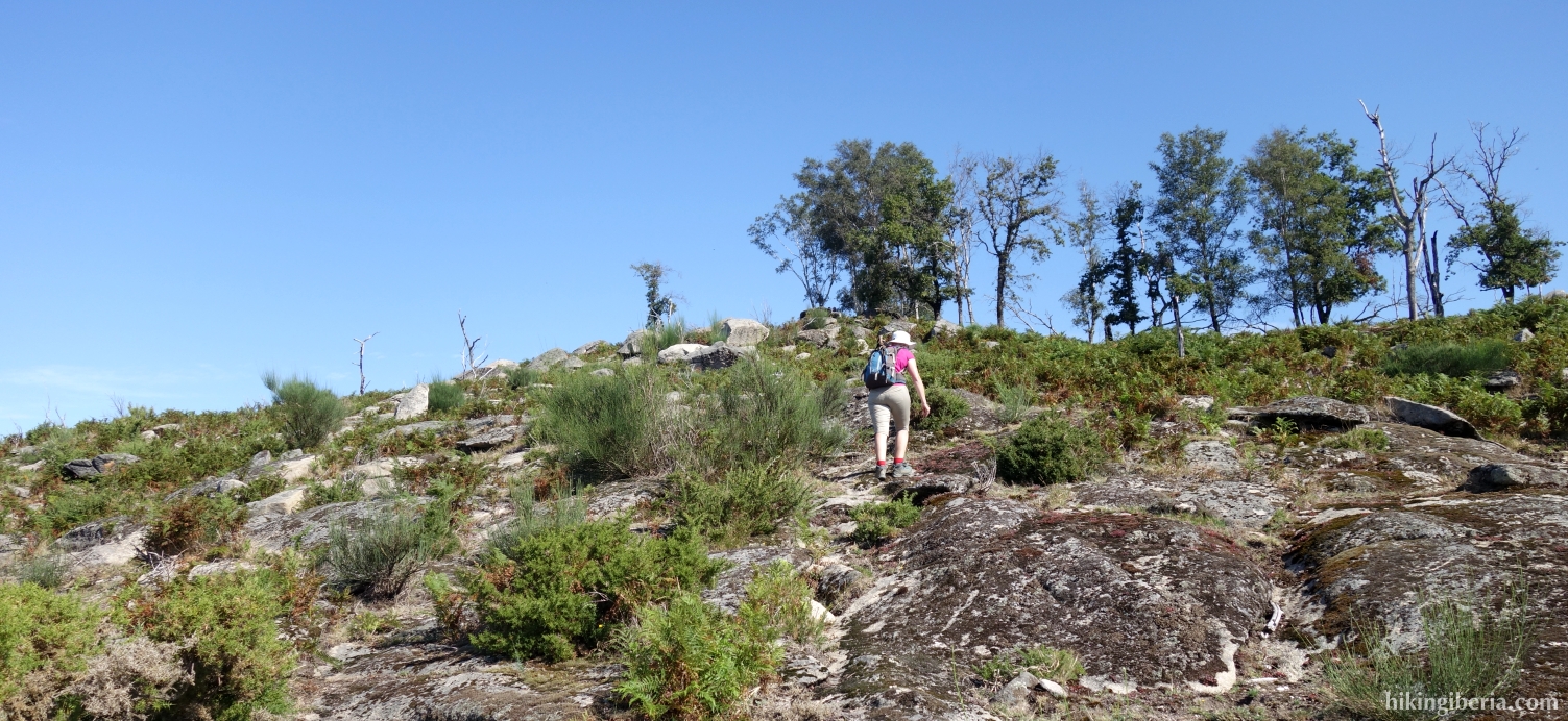
- Ten minutes later on the wide path we see a milestone (4) on the left. Here, go left up against the mountain and leave the wide path. Five minutes later (5) the path turns to the right and we follow the milestones. The path is not always easy to follow. As an orientation, apart from a sporadic milestone, find a pole that you can observe in the east.
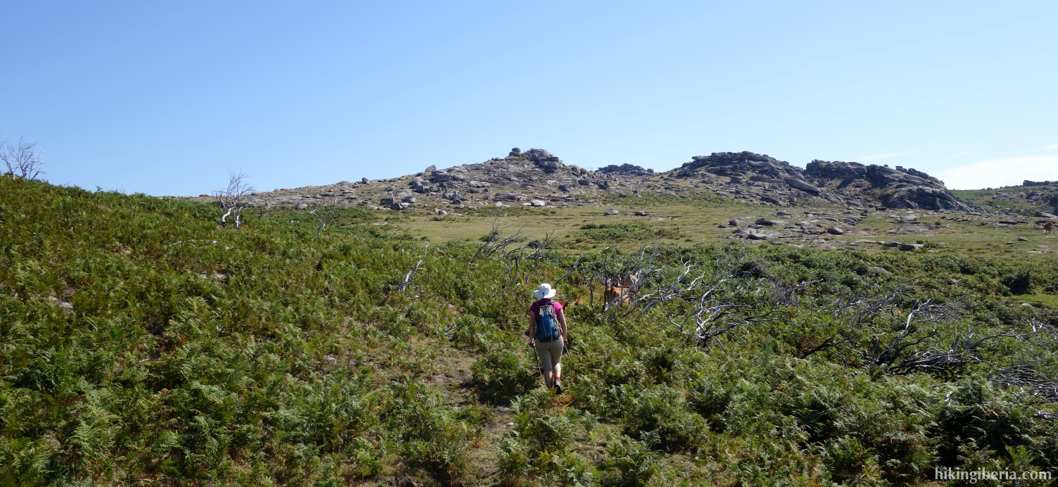
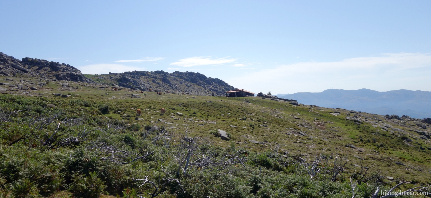
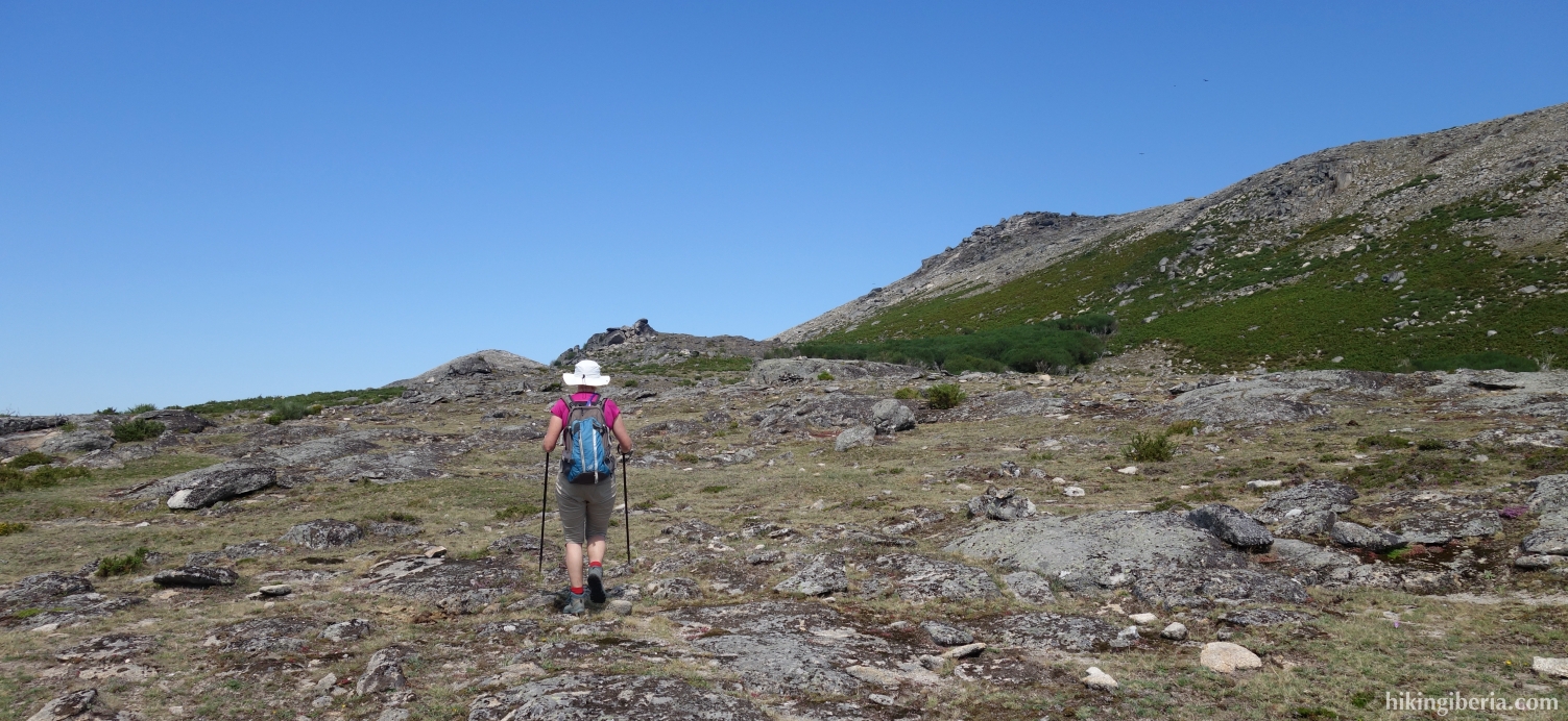
- From the pole/viewpoint (6) the path is well visible and we follow it until we reach the mountain refuge of Branda da Urzeira (7) after more than half an hour. From here we go in a north-westerly direction with no clear path up against the mountain, until we observe the pole of the top of Guidao (8) in a westerly direction, which we reach in half an hour from Branda da Urzeira.
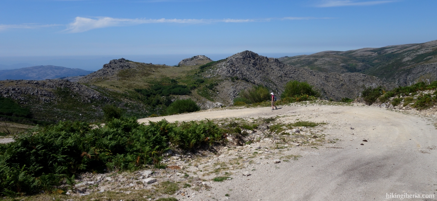
- From the top of Guidao we continue the route down, northwards. After 10-15 minutes we find a stone wall (9) on our left hand, bend slightly to the right and cross the field in a northeast direction. Further on, we cross a trail.
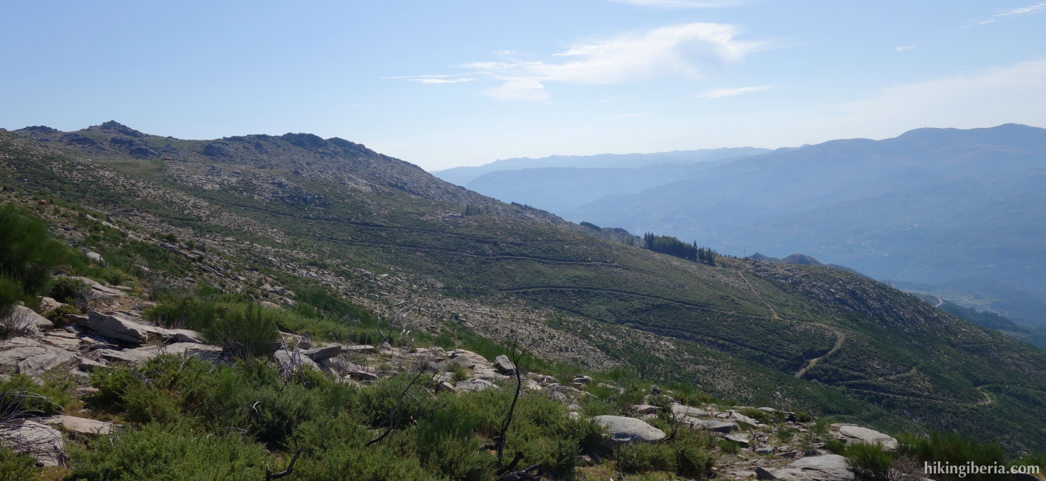
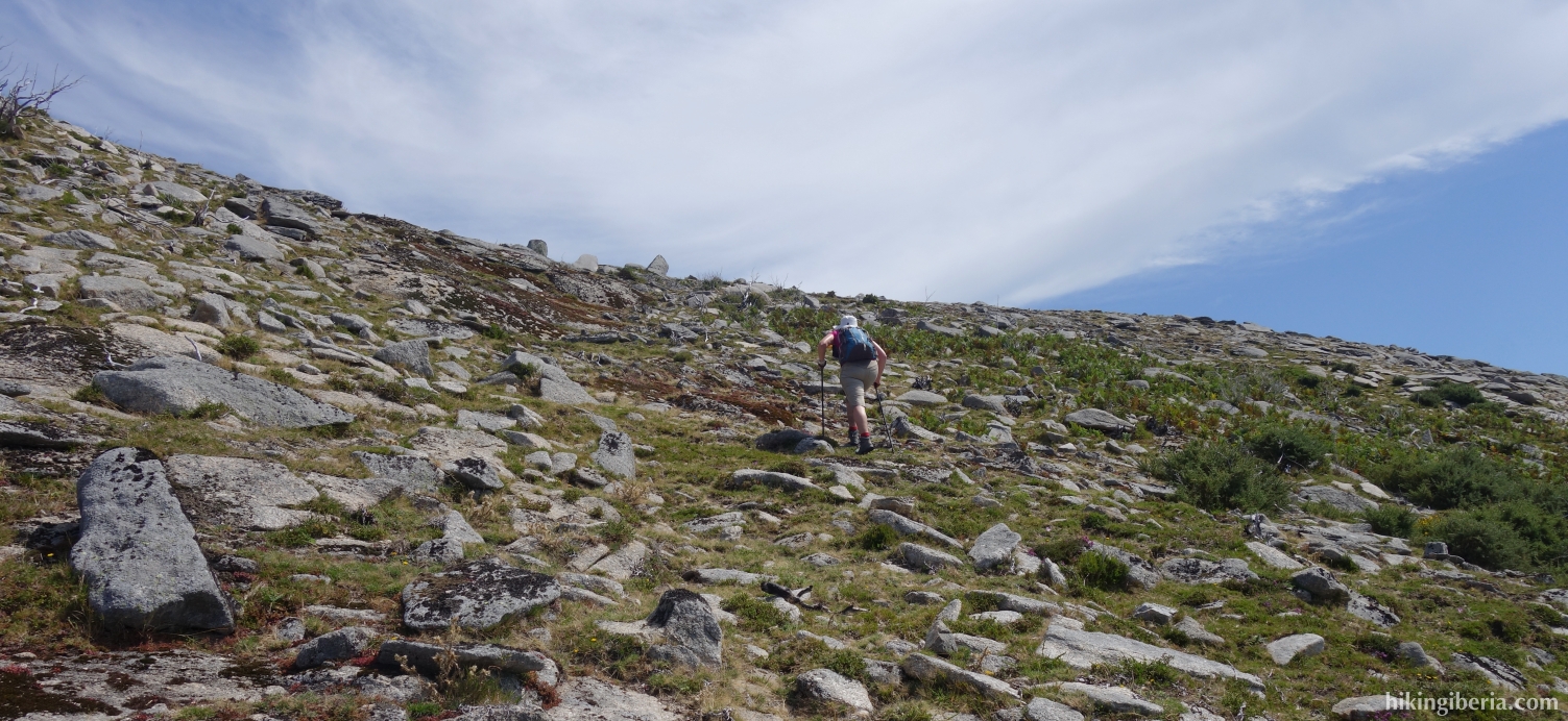
- As we walk back in the northwest direction we see another milestone in front of us and find again a clear path to follow. About half an hour after Guidao, the path turns to the northeast and we go up against the mountain fairly steeply (10), via a path marked with milestones, poles and red-white.
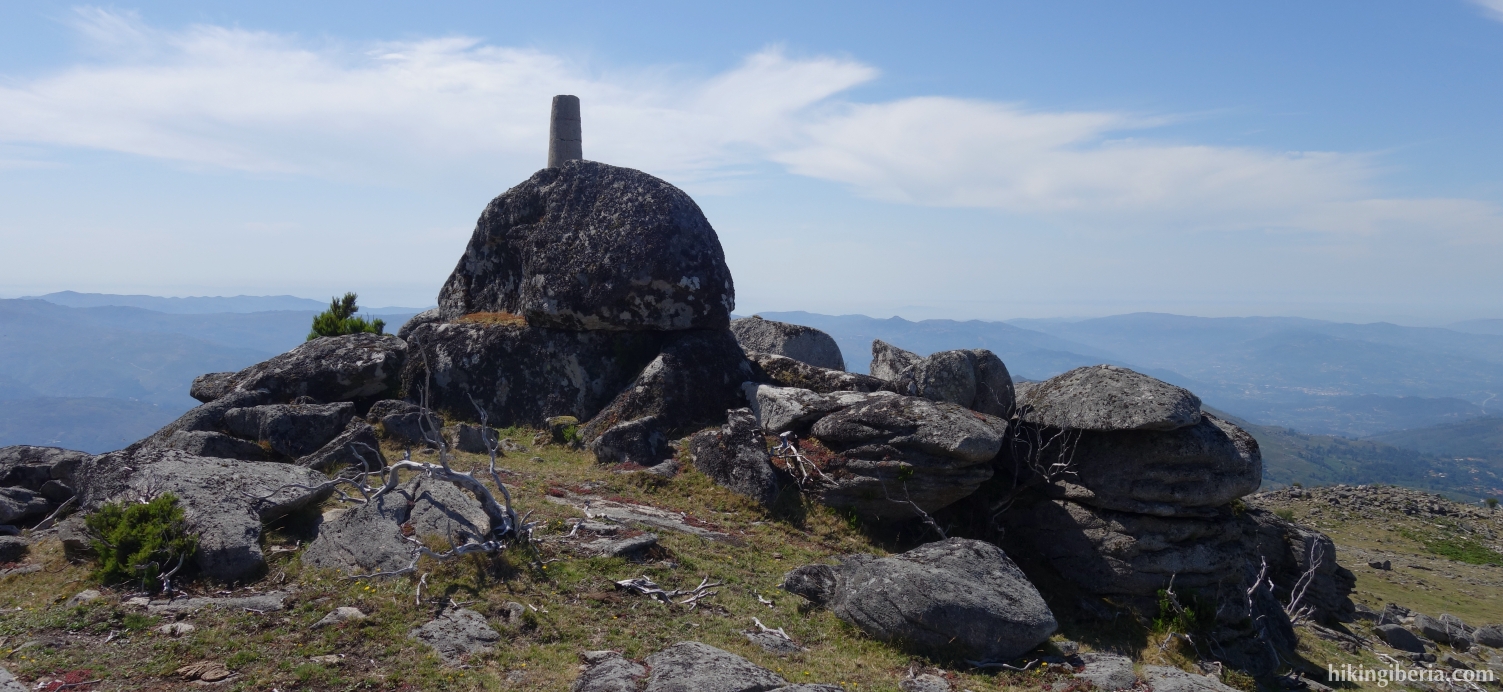
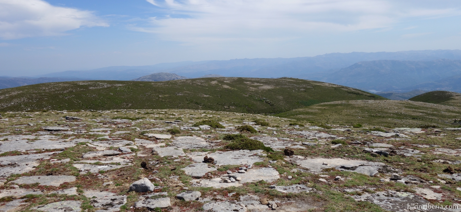
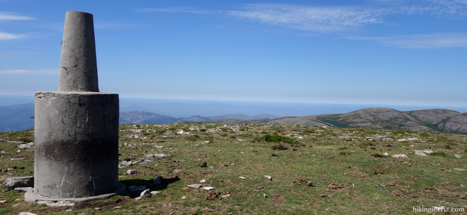
- On the last part stretch near the Pedrada there is no longer a clear path, but the top of the Pedrada can be clearly identified on our left hand, through the hut and the antenna mast that are on it.
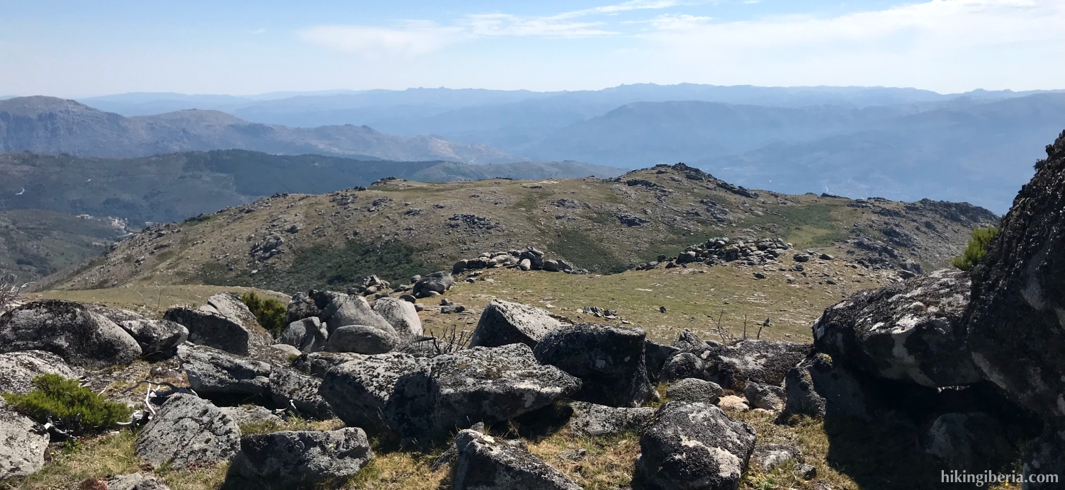
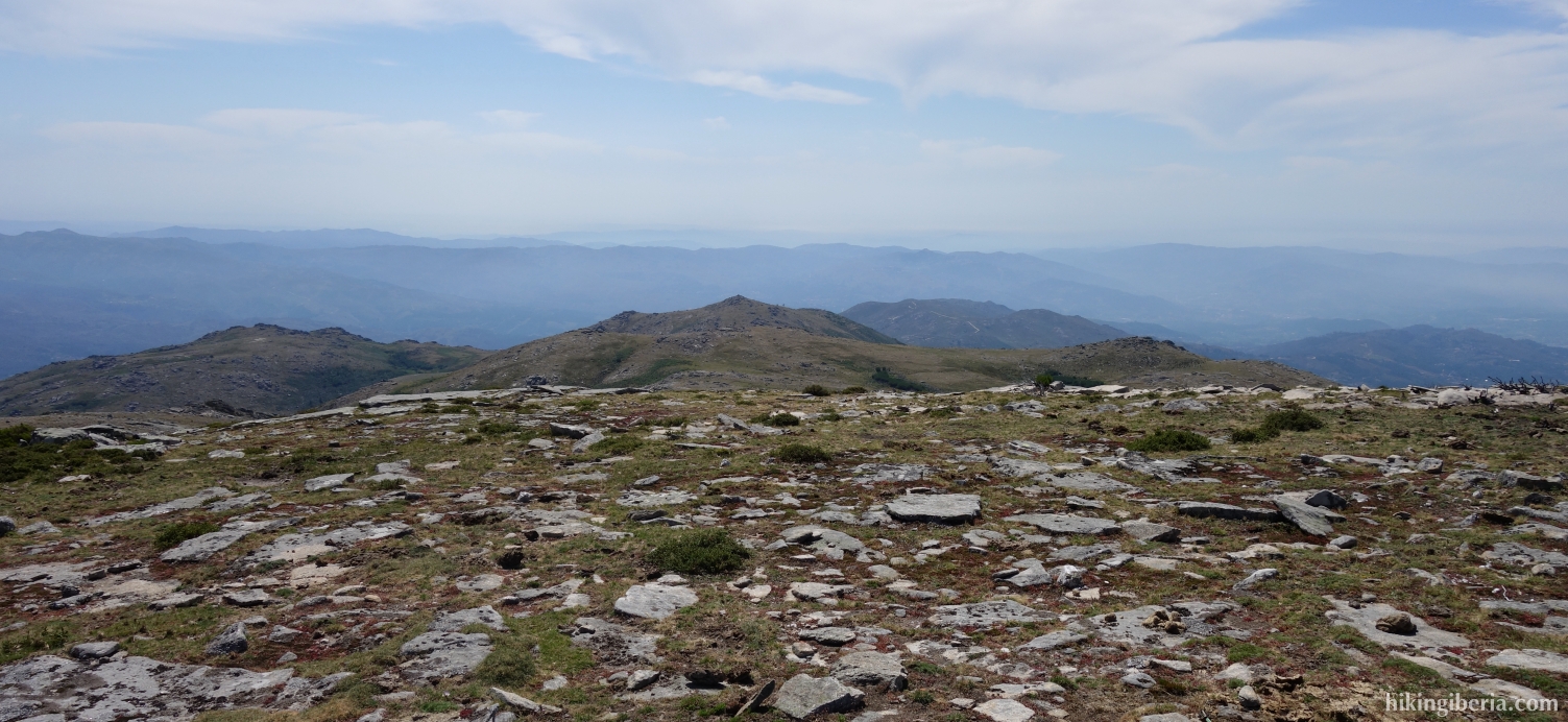
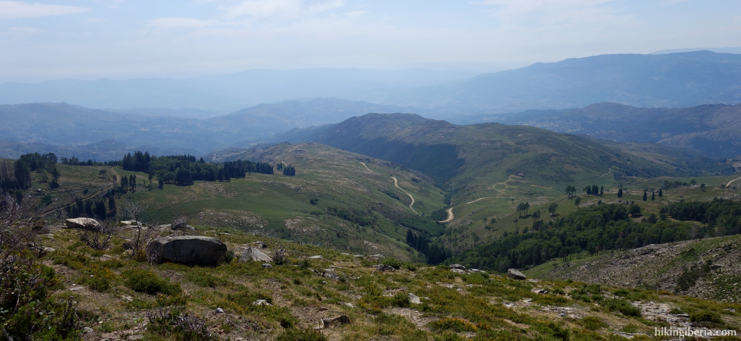
- From the Pedrada (11) we descend in a southwest direction towards a ridge, with no clear path. When on the ridge (12) we keep to the right, in a westerly direction. At some point we go through a wall (13) and continue the route in a western/north-westerly direction until we reach a dirt road (14), where we turn left.
- We follow this dirt road for a long time. After more than an hour, the dirt road splits (15) and we keep left.
- We follow the dirt road for another half hour to walk back to the parking lot near the campsite (1).