NL
NL  IT
IT  DE
DE  ES
ES  EN
EN 
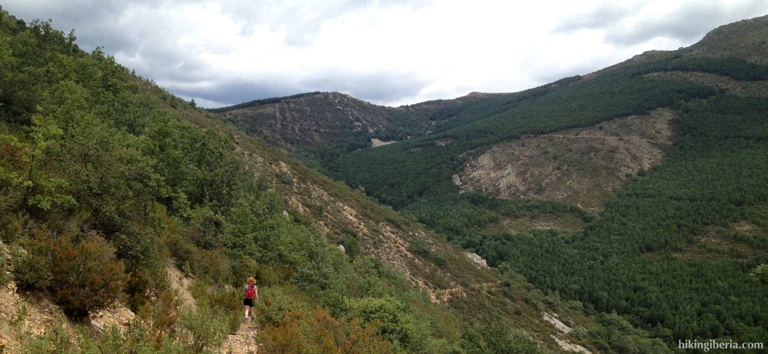
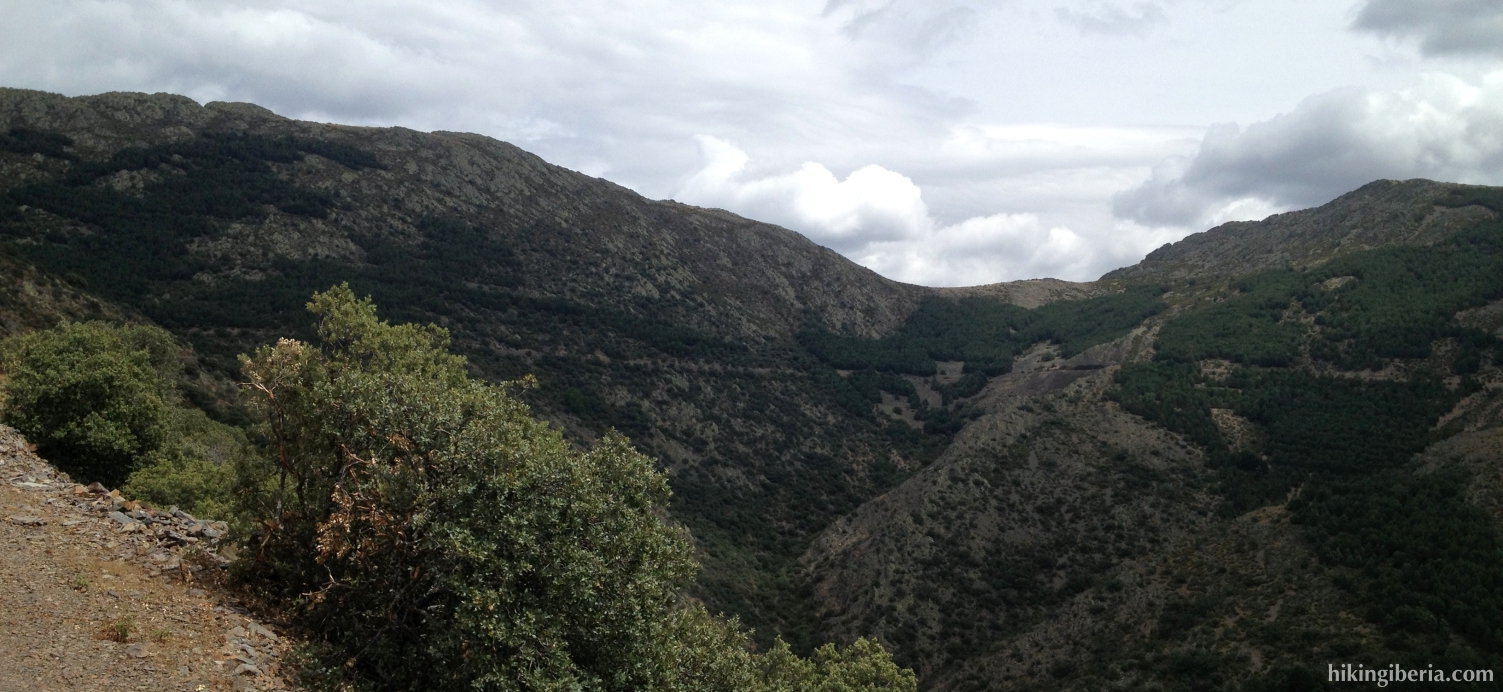
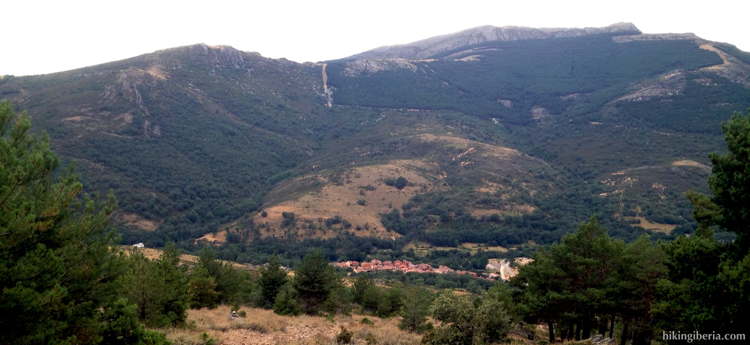
This hike lies in the far east of the Sierra Norte de Madrid against the province of Guadalajara, in the Sierra del Rincón. It is one of the most remote parts of the Madrid mountains and makes a different impression than the rest of the Sierra Norte de Madrid and the Sierra de Guadarrama, because of its relief and diversity in vegetation. During a large part of the hike we have a spectacular view on the valley of La Puebla. Because of its length, total difference in altitude and because the trail that descends to the Arroyo Valluengo is rather overgrown and also because the climb from the Garganta del Portillo to the Pico Centenera takes place through loose stones and rocks, it is a relatively difficult hike.


- From where we parked the car (1), we walk back to the cemetery (2). Here at the other side of the road (on the right) we enter a wide path that runs uphill. After a short climb we reach a junction of three trails (3). Here we need to take the trail that lies at the right just a bit lower.
- Further on at a Y-junction (4) we turn left, onto the trail that runs steeply uphill. We now climb intensely for a while until we reach another path (5). We need to continue on the opposite side of the path onto a trail that on the left in a slanting direction runs downhill. This trail is not very well visible because of the vegetation.
- This trail, which is slightly overgrown, descends to the stream Arroyo Valluengo. At the lowest point (6), at about 1,270 metres, it turns to the right and crosses the stream. Because of the vegetation this spot is difficult to find, thus it is important to pay attention here.
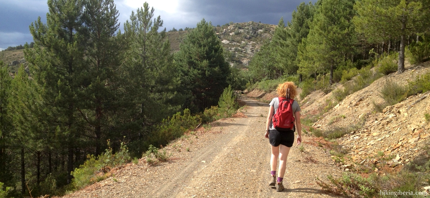
- From here the trail, which is rather overgrown, runs steeply uphill. Eventually at about 1,400 metres we reach a dirt road (7) and turn right.
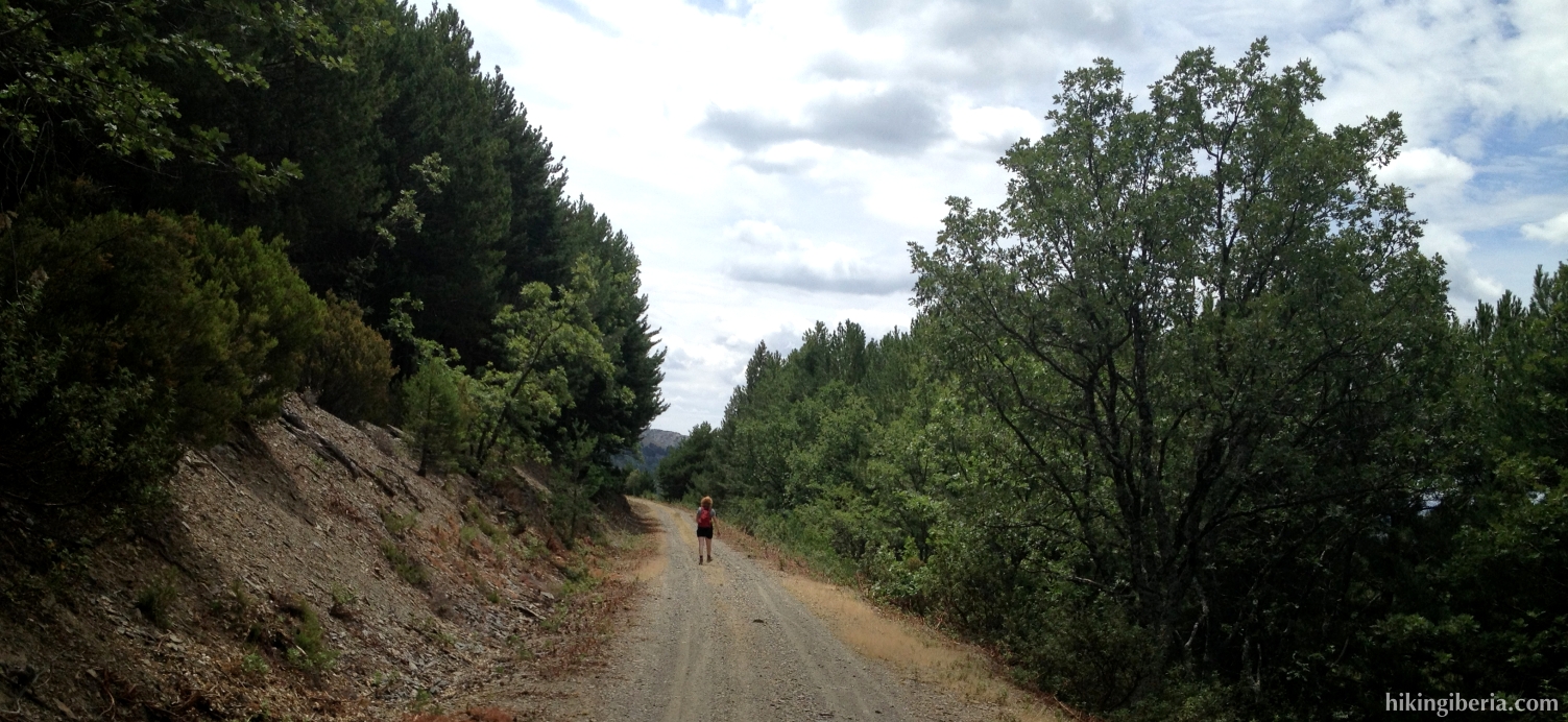
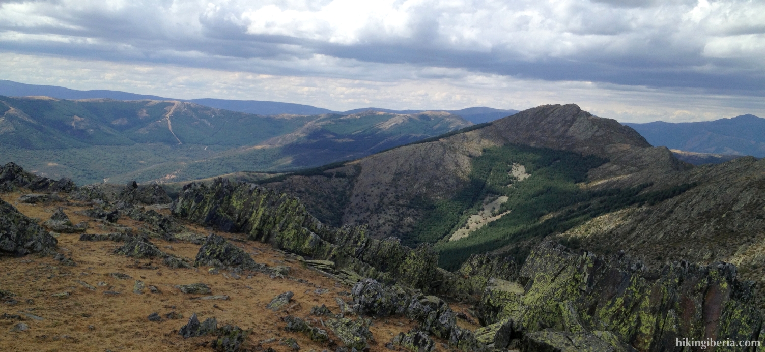
- We now walk over the altitude line for a while, via this comfortable dirt road. Further on the road turns to the left with a big bend (8), which will give us a view on the Pico Centenera right in front of us. Further on the road turns to the right with a big bend (9) and we walk in the direction of the Garganta del Portillo (10).
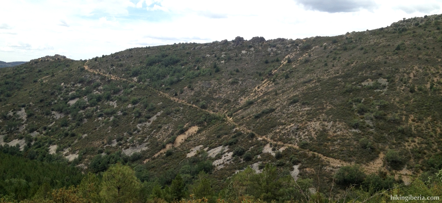
- At the Garganta del Portillo (10) where the road turns to the right with a bend, we see at the left side a slope with planted pine-trees. We go onto this slope and find our way through the loose stones. Try to walk as much as possible on the open spaces to avoid the dense vegetation between the trees.
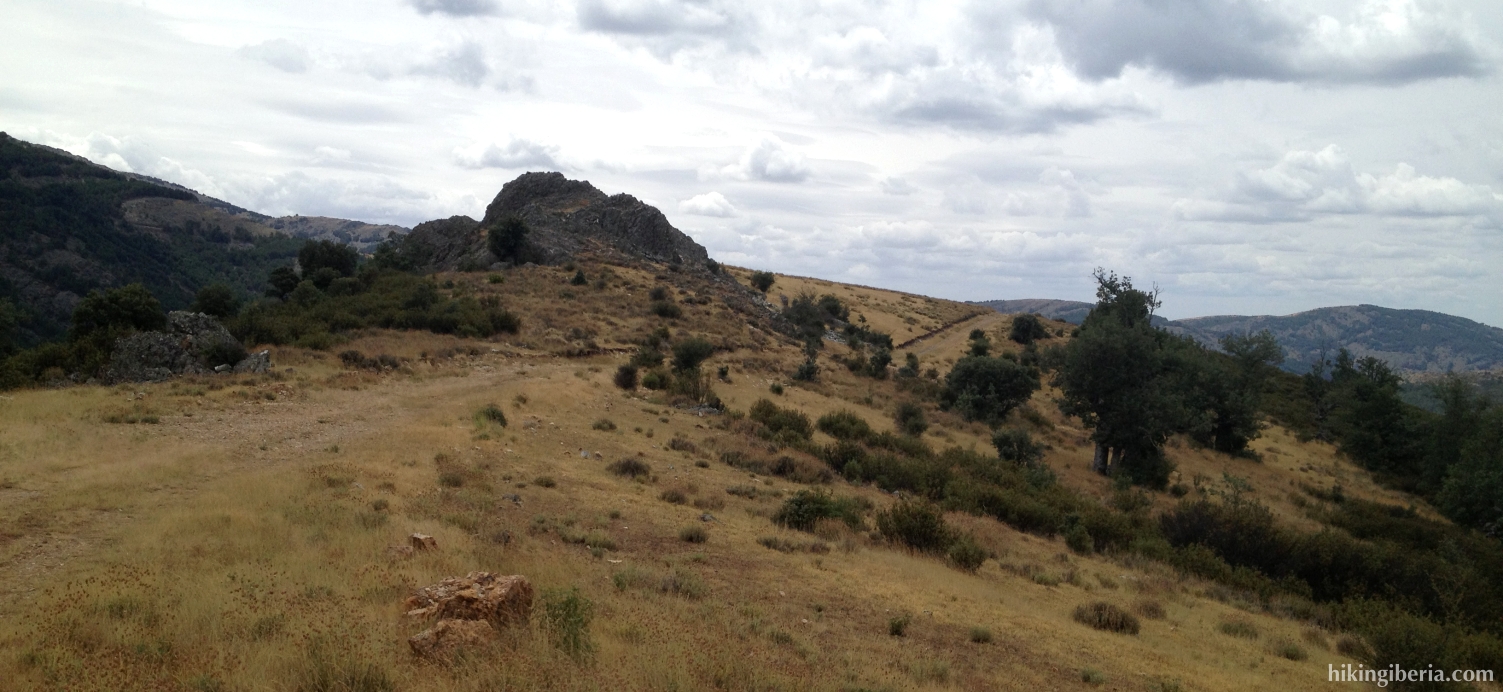
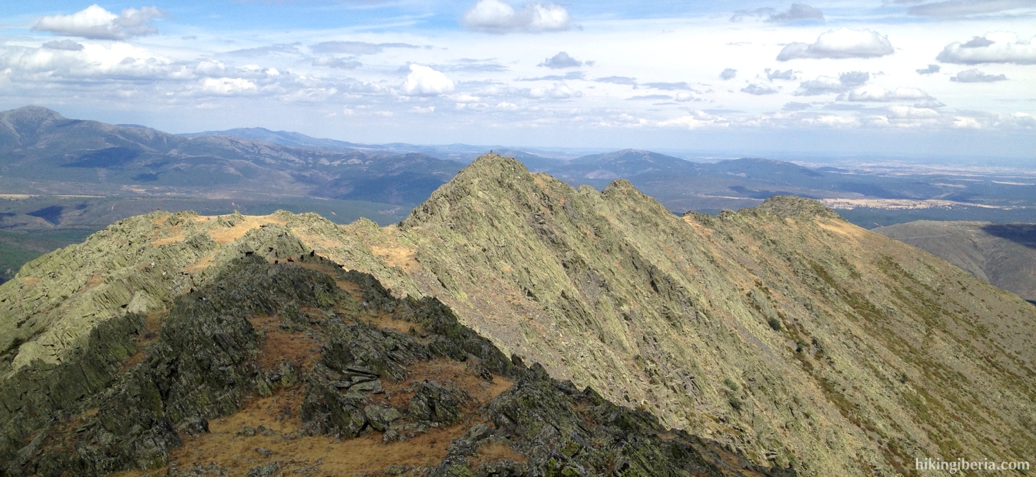
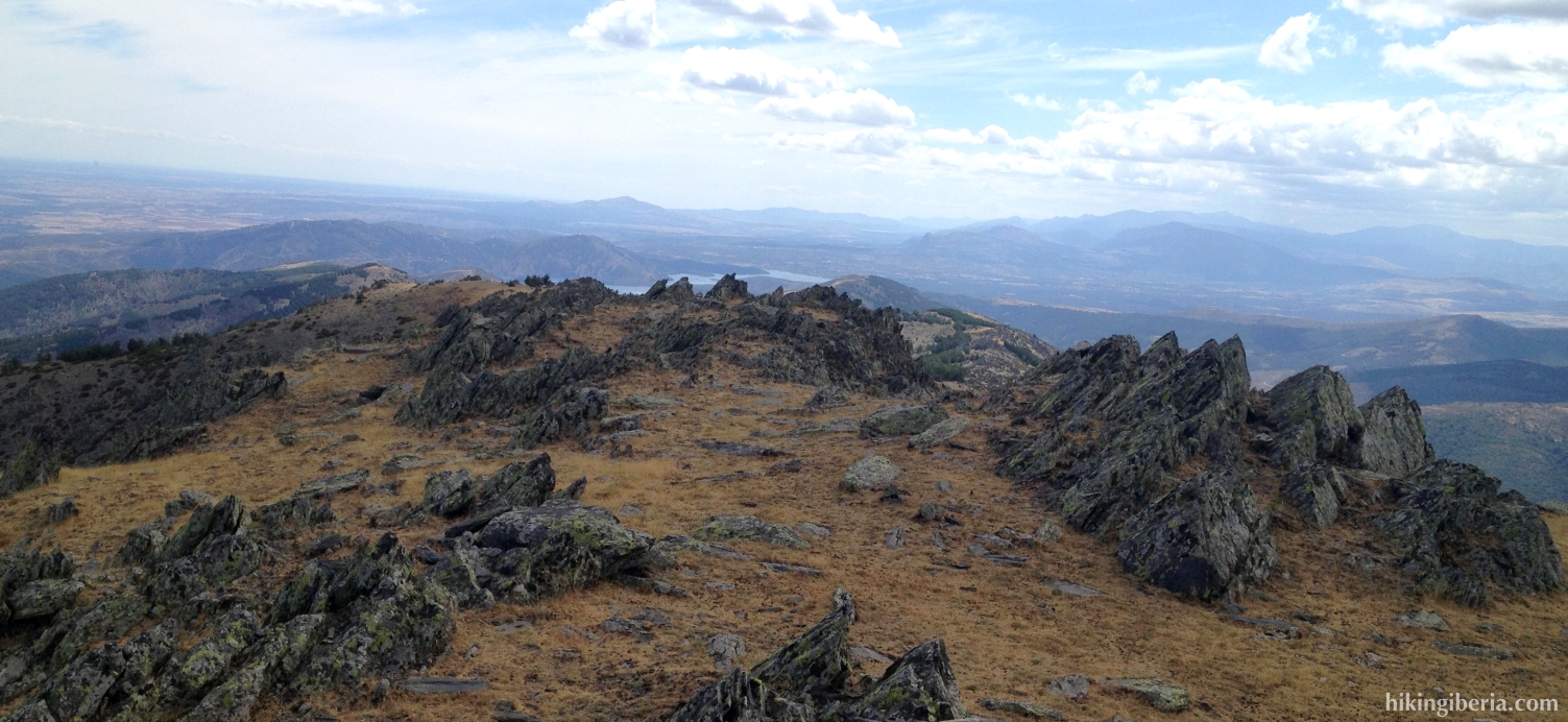
- On top of this slope we reach the frontier with the province of Guadalajara (11). Here we turn right towards Pico Centenera.
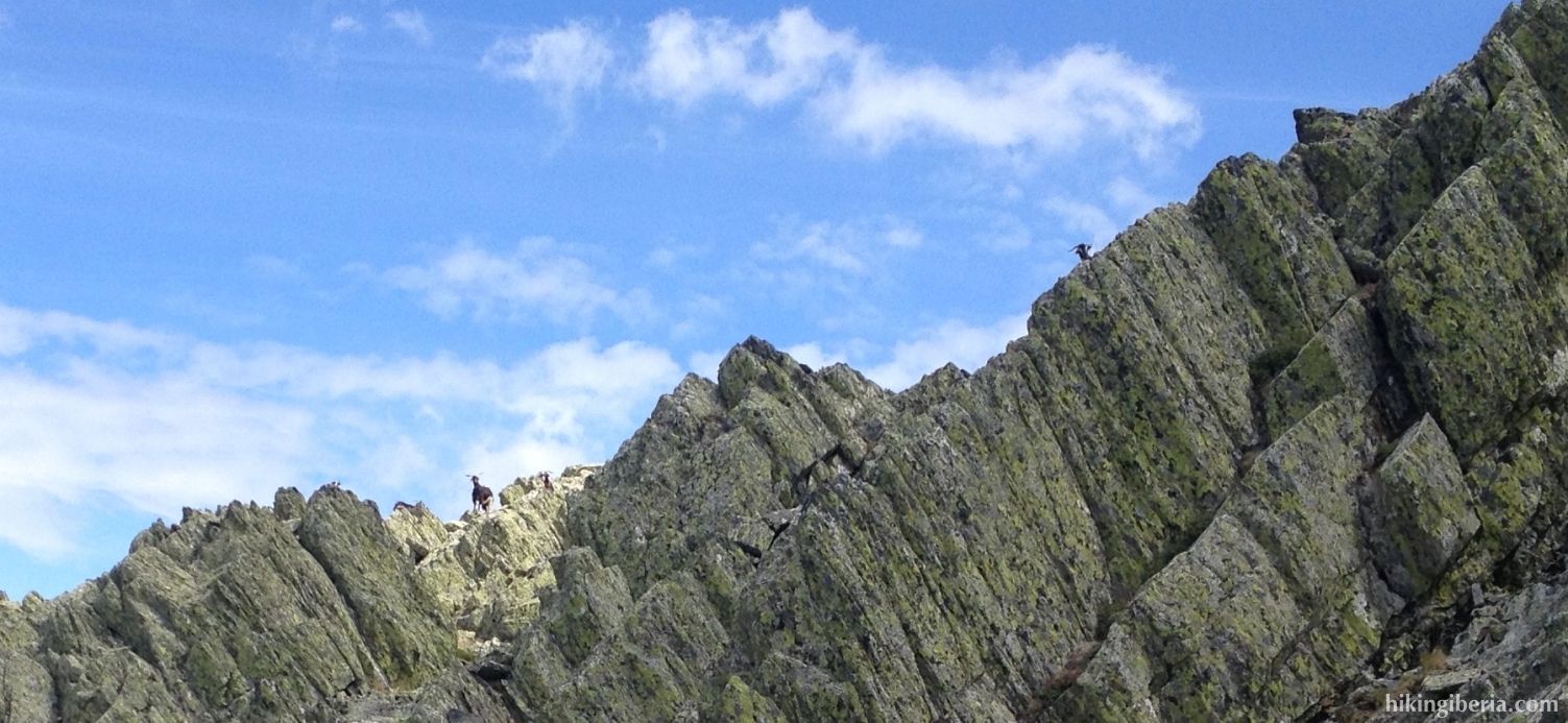
- The route to the Pico Centenera – via the rocks - is partially marked with milestones, but not always as clear. The orientation is no problem though, as we can constantly see the peak right in front of us.
- From the Pico Centenera (12) we take the same route back to the Garganta del Portillo (10). We now turn right here and follow the dirt road a long time. At the point where we came up from the trail from the Arroyo Valluengo (7), we continue straight on.
- Much further on the path turns to the left (13) and we keep following this path for quite some time and then reach a fork (14) where we keep left, onto the side-trail. This trail first descends and then ascends again. At the highest point of it we take a narrow trail on the right side that runs steeply downhill and that is marked with milestones (15).
- After a long descent the trail turns to the left (16). Further on a less visible side-trail originates on the left (17), which we take. This trail eventually brings us back to the trail that starts from the cemetery (2). We now turn left here onto the asphalt road and walk back to the car.