NL
NL  IT
IT  DE
DE  ES
ES  EN
EN 
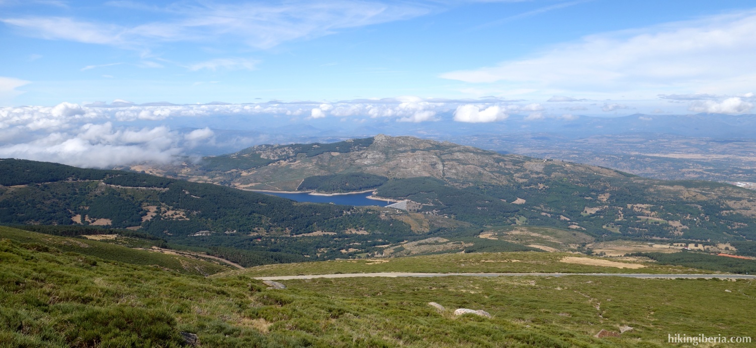
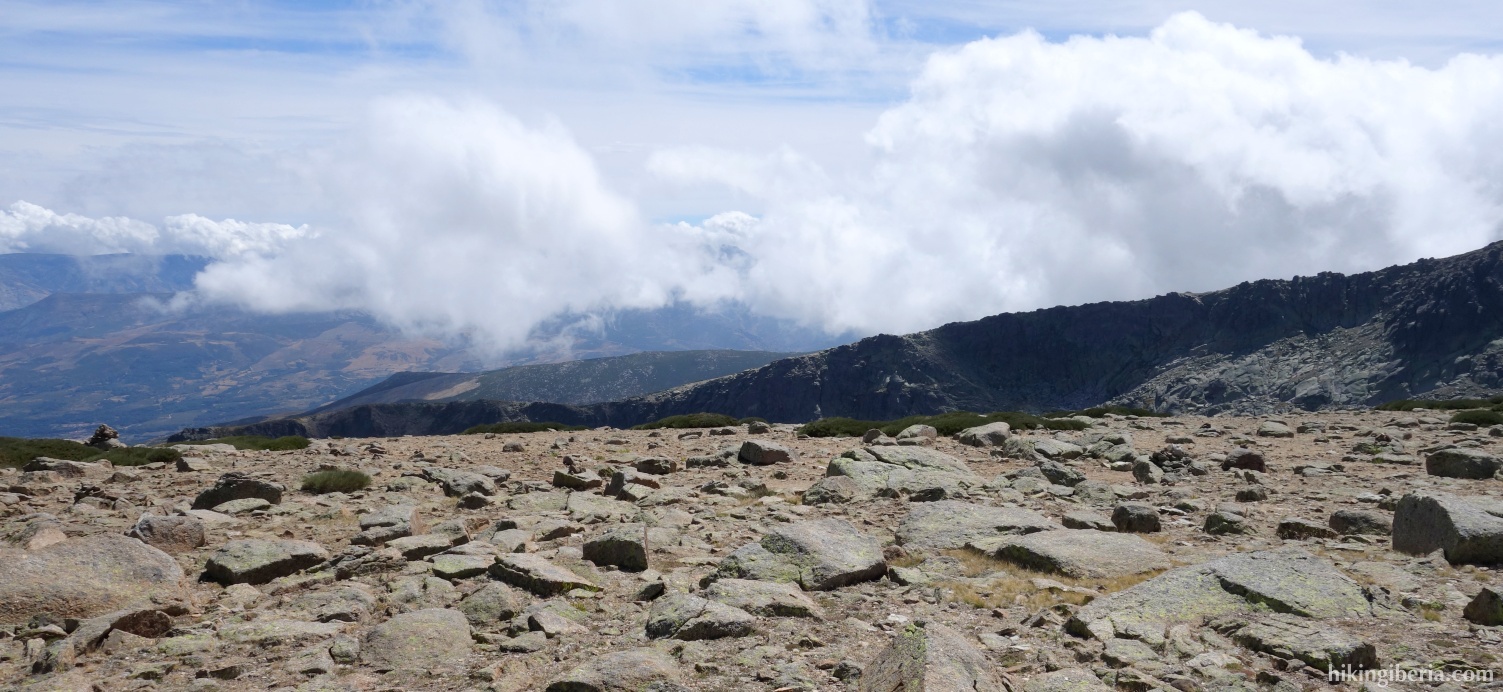
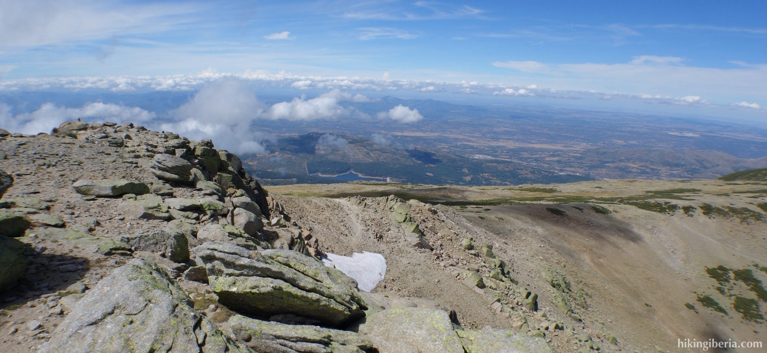
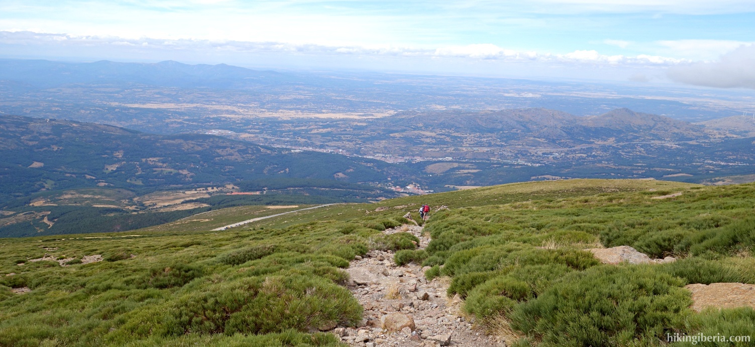
The Canchal de la Ceja is the highest point of the Sierra de Solana in Ávila, a mountain range on the border between Ávila and Salamanca in the far west of the Sierra de Gredos. It is a flat summit from where we have a nice view on Extremadura and La Vera. During the climb we have a beautiful view on the Reservoir of Las Angosturas.
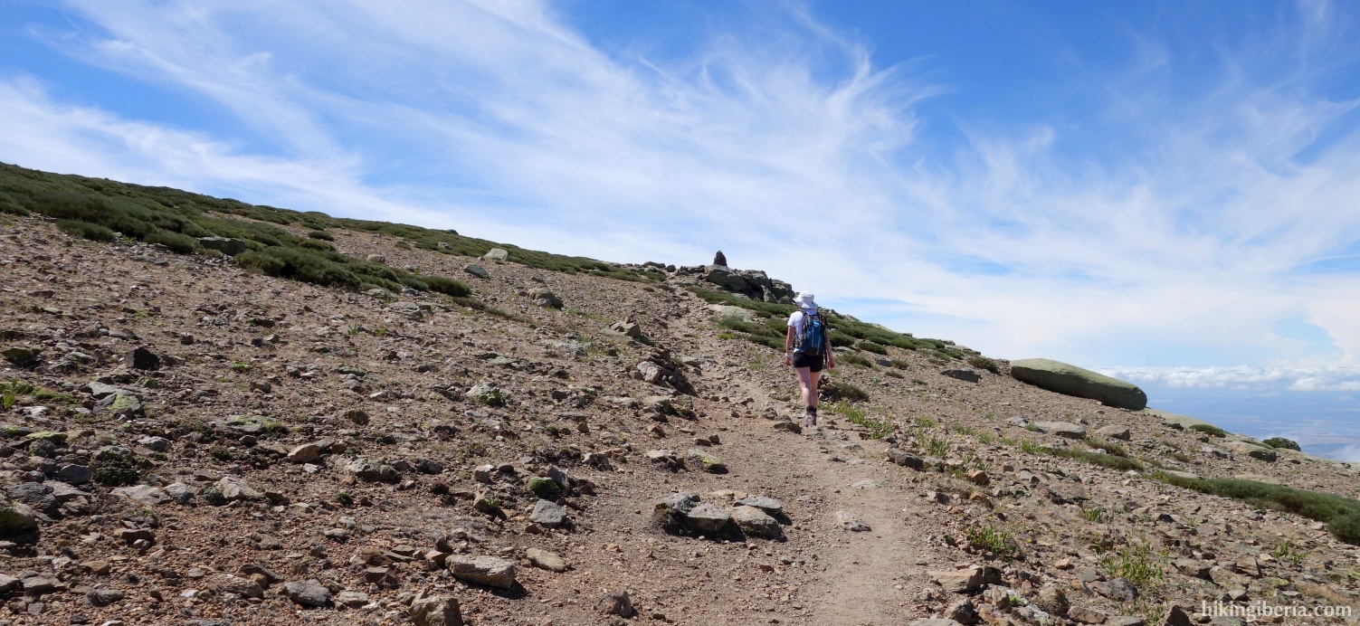

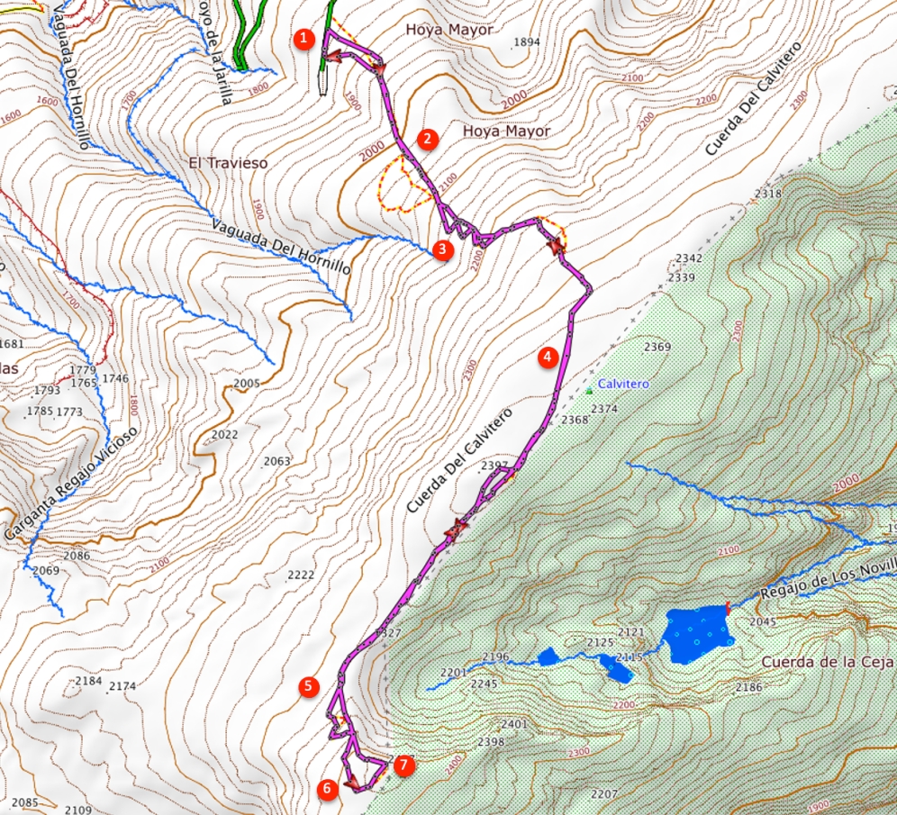
- From the parking at Plataforma el Travieso (1) walk a little bit back on the road until you see some milestones on your right. Here begins the trail.
- A little further on we get at a somewhat opener space where the trail divides (2). In principle here all trails lead to the same point; the shortest way is to not go right here but continue straight on and follow the milestones.
- At about 2,150 metres the path bends to the left. On this stretch there are several trails all marked with milestones, but it does not really matter which trail we take because they all eventually lead to the same point.
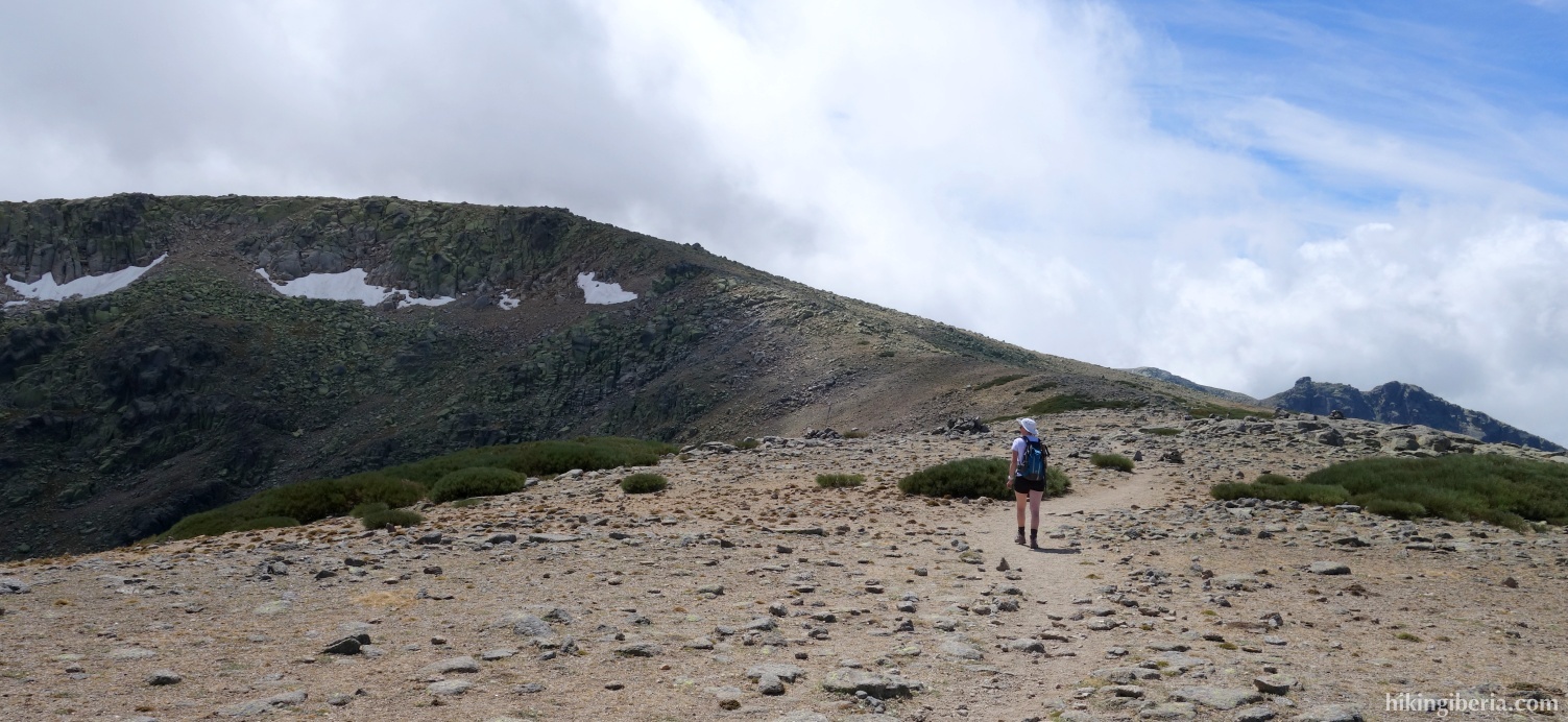
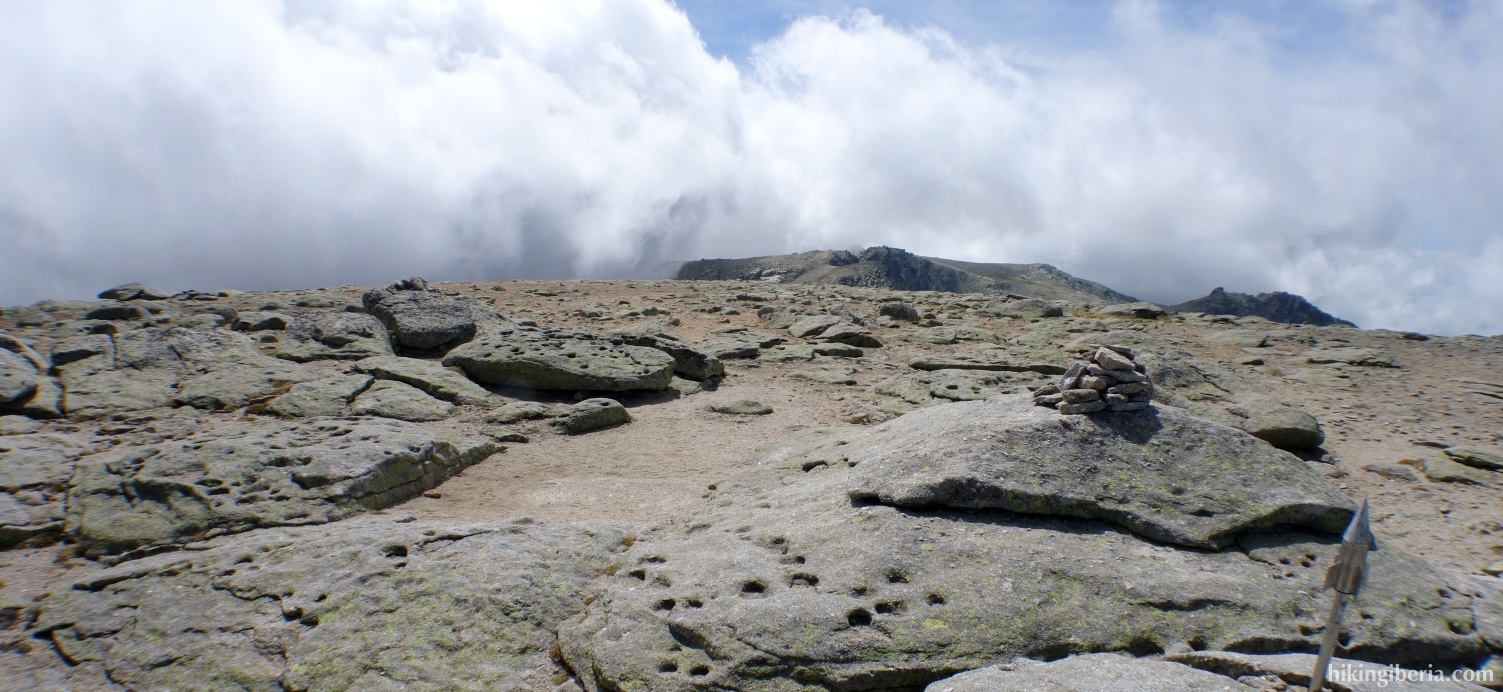
- This way we arrive at about 2,405 metres at the small top of the Calvitero (4) where we have some nice views. From here the trail continues over the ridge and descends for a while. Left to us we see the rocky face of Canchal de la Ceja.
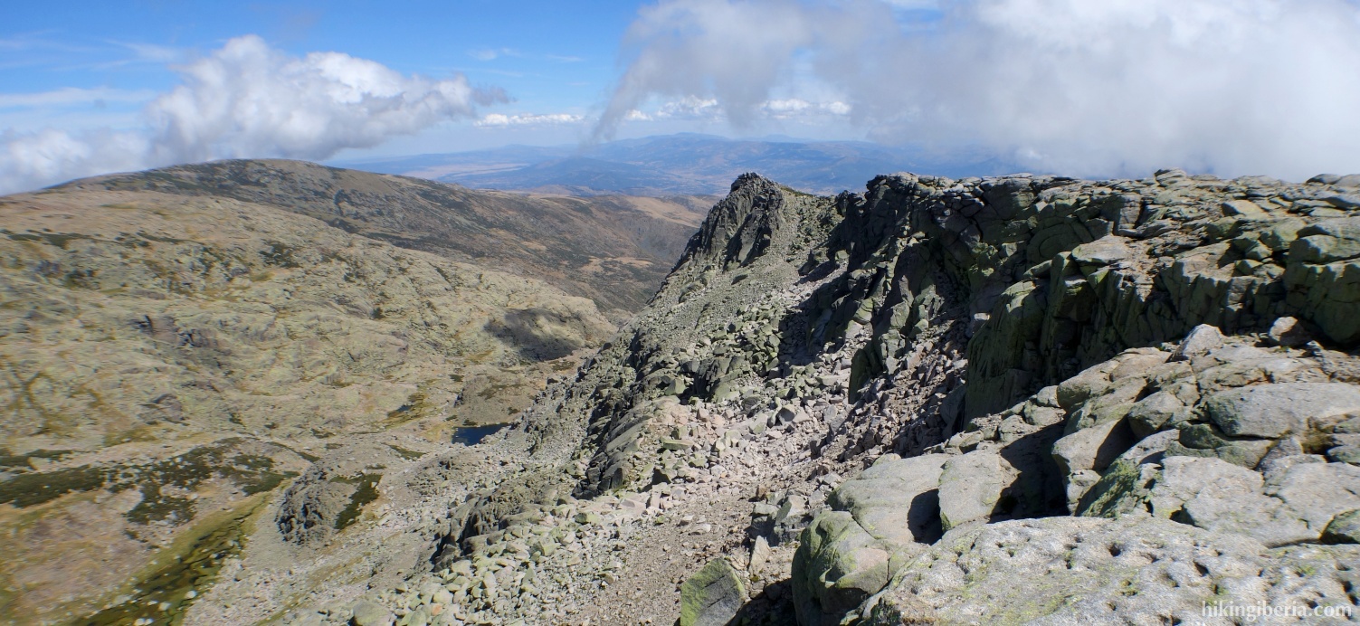
- We follow all the time the milestones of the trail over the ridge. The last stretch (5) the trail zigzags steeply. Near the Canchal de la Ceja (6) the trail continues straight ahead, however turn to the left here to walk to the summit.
- This way we eventually reach at 2,435 metres the flat summit of the Canchal de la Ceja (7).
- The return is via the same route.